






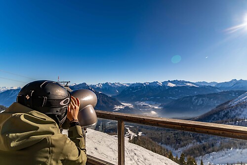
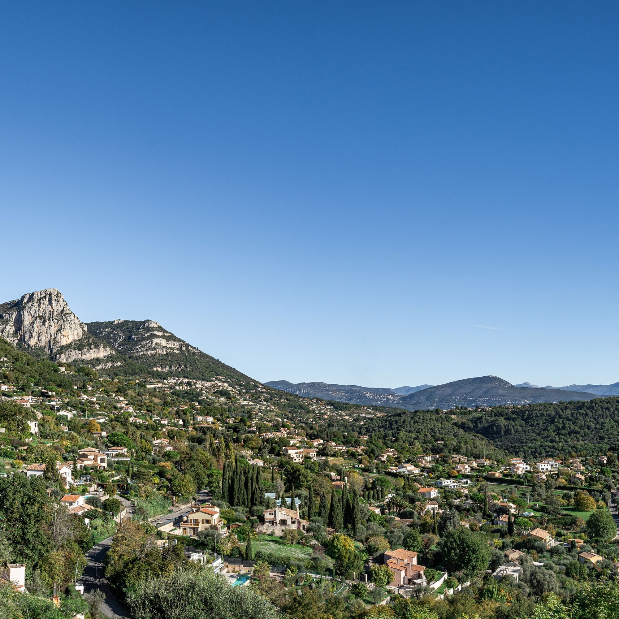
FFC cycling route no. 15: The Peyron de Saint-Jeannet loop

Poziom trudności: 3
This loop returns to Vence along the old railway line from the Cagnes valley, offering a magnificent view of the viaduct at the very top.
All the outdoor activities in the Nice Côte d'Azur region can be...
This loop returns to Vence along the old railway line from the Cagnes valley, offering a magnificent view of the viaduct at the very top.
All the outdoor activities in the Nice Côte d'Azur region can be found at https://outdoor.nicecotedazur.org


Tak
Tak
Tak
-Wear an approved helmet
-Check the condition of your tyres
-Take a repair kit with you in case of a puncture
-Prefer at least one flashing LED light to be fixed to the seatpost so that you can be seen by other motorists.
-Choose a route suited to your physical condition and don't overestimate your abilities.
-Remember to carry identification and a number to call in case of danger
-Respect traffic lights
-Respect the environment and other road users
GOOD HABITS FOR RIDING IN A GROUP
Riding two abreast is permitted, but you must keep to a single lane:
at dusk or when visibility is poor when a vehicle wanting to overtake announces its approach.-In the event of a breakdown, move to the side of the road, not the carriageway.
- Come to a complete stop for the whole group at stop signs, yellow lights and fixed or flashing red lights.
-Communicate within the group and use verbal language and body language to signal an obstacle or a vehicle. A simple gesture or word is all it takes to avoid a fall or an accident.
Via the A8 "La Provençale" motorway :
Coming from Paris, Lyon, Marseille or Aix-en-Provence, take the Villeneuve-Loubet / Cagnes-sur-Mer exit no. 47.
From Nice, take the Cagnes-sur-Mer exit no. 48
Then take the RM 336, the M 36 dual carriageway and the M 2210 to go directly to Vence
Marie Antoinette car park near the panoramic departure point - Paid surface car park - 153 spaces
3
Circuit intended for leisure use - FFC colour: Green
Popularne wycieczki w okolicy
-
Little hike in Nice: the Mont Boron route
światłoWędrówka 5,13 km -
Grande Randonnée® de Pays: Lou Camin Nissart
ciężkidługodystansowy szlak pieszy 44,7 km -
Nice - Aspremont / Pagarine Route (stage 1)
średniWędrówka 15,8 km -
4,0
Little hike in Aspremont: Mont Chauve circuit
światłoWędrówka 6,49 km -
FFC bike circuit no. 8: the 70.3 circuit (Half IRONMAN)
średniDroga rowerowa 92,8 km -
FFC bike circuit no. 5: on the Tour De France routes (big loop)
średniDroga rowerowa 74,2 km -
5,0
Goldtoni - Alpenbogen A082 Drap-Nizza
światłodługodystansowy szlak pieszy 26,4 km -
A short walk in Saint-Jeannet : Les Baous de la Gaude and St-Jeannet
średniWędrówka 12,2 km -
FFC bike route no. 7: Tour of Vence
światłoDroga rowerowa 57,7 km -
The "Route des Paysages" between the coast and the middle country of Nice
światłoMotorrad 147,7 km
Wędrówki i tropienie


Nie przegap ofert i inspiracji na następne wakacje
Twój adres e-mail została dodana do listy mailingowej.





