


Touring n°4- 3 days - Stage 2 - La Tour-sur-Tinée Vallon de la Gordolasque
Poziom trudności: 4
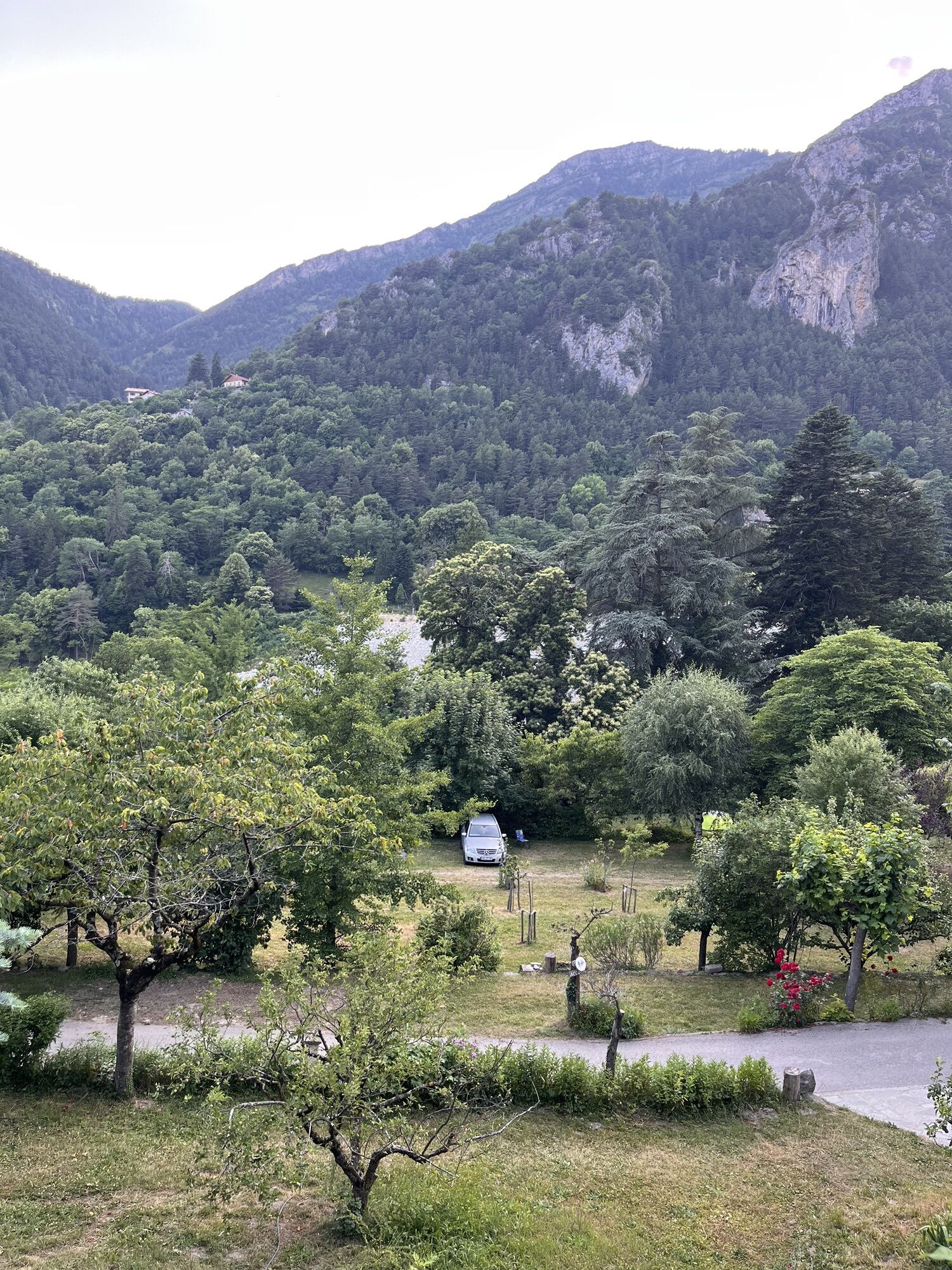
After a peaceful night spent in the heart of the village of La Tour sur Tinée, the route quickly allows you to enter high mountain by passing through the Col Saint-Martin-La Colmiane, the village of Saint-Martin...
After a peaceful night spent in the heart of the village of La Tour sur Tinée, the route quickly allows you to enter high mountain by passing through the Col Saint-Martin-La Colmiane, the village of Saint-Martin Vésubie nicknamed the Nice Switzerland to finish in the heart of the Mercantour at 1,500 m altitude.

Leave the village heading for the RM 2205 via the RM 32
From the RM 2205/RM 32 junction, at the end of the descent, carefully turn right onto the RM 2205 towards Roussillon-sur-Tinée
Cross the hamlet of Pont de Clans continuing on the RM 2205
From the RM 2205/RM 2565 junction, stay right to start the climb of Col Saint-Martin via the RM 2565 towards La Colmiane
Cross La Bolline, Saint-Dalmas, Valdeblore staying on the RM 2565
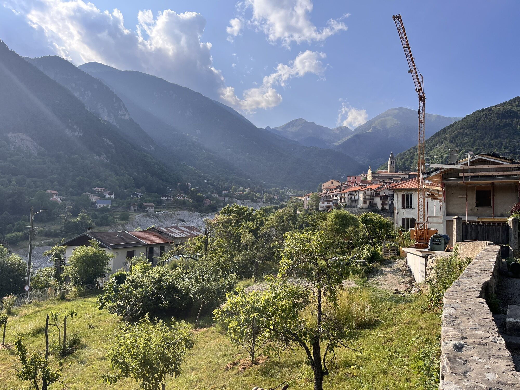
Once you have passed the Col Saint-Martin near the La Colmiane resort, begin the descent towards Saint-Martin Vésubie continuing on the RM 2565
Cross Saint-Martin Vésubie still following the RM 2565
At the entrance to Roquebillière, turn left onto the RM 71 towards Belvédère – Gordolasque Valley
At the Belvédère entrance sign, take the direction La Gordolasque on the right (CD 71)
At the small roundabout, take the 1st left towards Relais des Merveilles (RM 171)
Continue the ascent, Relais des Merveilles is on the right
Tak
-Wear a certified helmet
-Check the condition of your tyres
-Set off with a repair kit in case of puncture
-Prefer at least a flashing led light to fix on the seatpost to be seen by motorists, especially in the small tunnels which are common in the Métropole
-Remember to take a windbreaker or waterproof jacket for the descent of the pass
BASIC RULES
Choose a climb suited to your physical condition, do not overestimate your abilities
Check mountain weather and pass openings before setting off
Remember to carry identification and an emergency phone number
Respect the environment
Control your speed during the descent
GOOD PRACTICES FOR RIDING IN A GROUP
Riding two abreast is allowed, but ride in single file:
at nightfall or in case of poor visibility
When a vehicle wishing to overtake signals its approach.
Think about carpooling
4
Recommended accommodation:
Guesthouse – Restaurant « Relais des Merveilles »
Rooms and dormitories
Labelled "Bike Welcome"
info@relaisdesmerveilles.com
+33(0) 4 93 03 43 55
Family business since 1985, exceptional and friendly place with a dynamic team.
All outdoor activities of the Métropole Nice Côte d'Azur are on https://outdoor.nicecotedazur.org
Popularne wycieczki w okolicy
-
The Salt Roads: The Pagarine Route
średnidługodystansowy szlak pieszy 159,7 km -
5,0
FFC cycling route no. 32: La boucle des 2 vallées depuis St.Sauveur/Tinée
ciężkiDroga rowerowa 117,8 km -
FFC MTB Circuit No. 4b: Le Turini
średniMountainbike 32,0 km -
Mountain bike circuit FFC no. 21a: Les granges de la Brasque
ciężkiMountainbike 41,2 km -
Roquebillière - Saint-Martin-Vésubie / Pagarine route (stage 5)
ciężkiWędrówka 18,3 km -
Mercantour to Nice Electric Mountain Bike Route "e-bike MNCA"
średniMountainbike 236,3 km -
FFC cycling circuit no. 30: the loop of the Col de la Couillole
ciężkiDroga rowerowa 70,8 km -
Route n°1 - 2 days - Stage 2 Isola Village - Nice
ciężkiDroga rowerowa 139,4 km -
VTT FFC route no. 2: The Férisson dairy farm
ciężkiMountainbike 28,0 km -
Utelle - Roquebillière / Pagarine route (stage 4)
średniWędrówka 20,0 km

Wędrówki i tropienie


Nie przegap ofert i inspiracji na następne wakacje
Twój adres e-mail została dodana do listy mailingowej.