


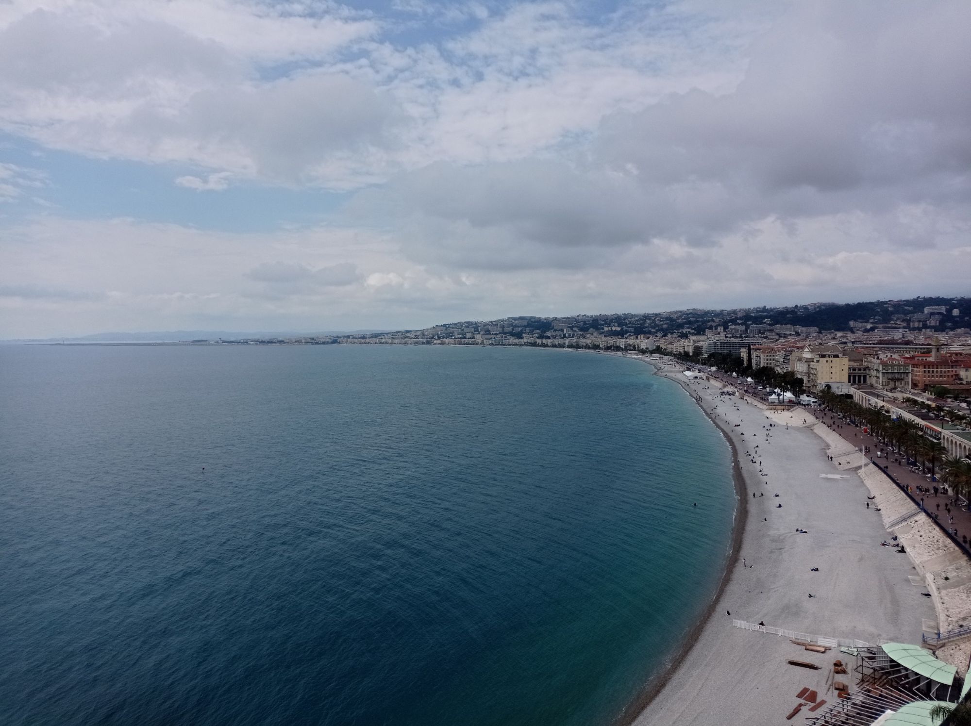
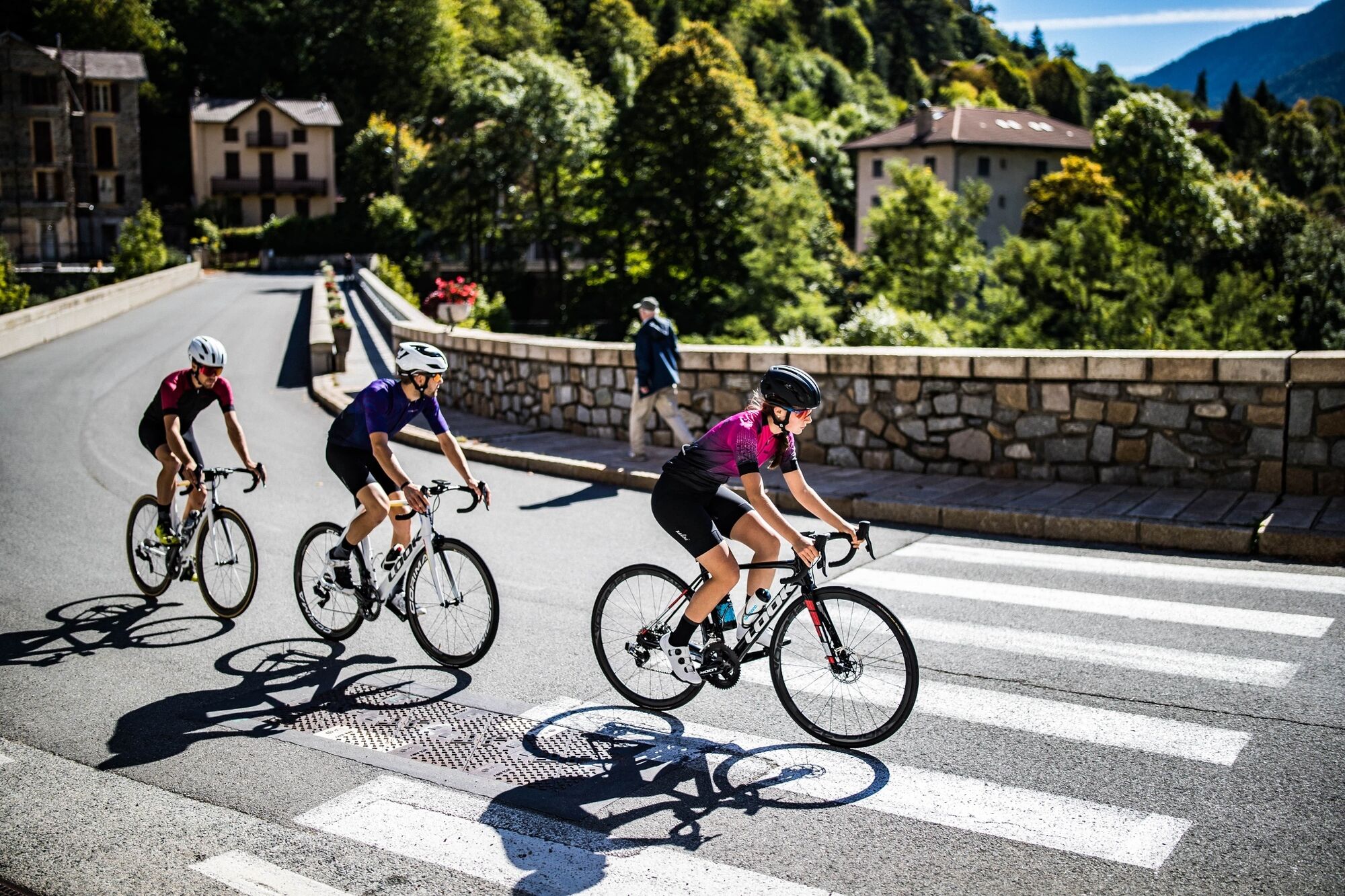
Route n°3: stage 1 Nice - La Colmiane
Poziom trudności: 5

A challenging menu for a first stage, 100 km with more than 2,500 m of positive elevation gain. Two legendary ascents on the program: the Col d’Eze, right from the start in Nice, and the Col Saint-Martin...
A challenging menu for a first stage, 100 km with more than 2,500 m of positive elevation gain. Two legendary ascents on the program: the Col d’Eze, right from the start in Nice, and the Col Saint-Martin to reach La Colmiane, the arrival point.
From the starting point take the bike path east towards the Port
Arrived at the Port of Nice, on the Place de l’Île de Beauté, continue straight towards the A8-Monaco-Menton via François Guisol Street
Continue on François Guisol Street towards the A8-Grande Corniche
At the intersection with Boulevard Delfino, turn right towards the A8-Grande Corniche
At the intersection with Boulevard de Riquier, turn left towards the A8-Monaco-Menton via the Grande Corniche
Continue straight on Boulevard de Riquier, pass under the railway bridge and continue on Boulevard de l’Armée des Alpes
At the end of Boulevard de l’Armée des Alpes, at the crossroad is the beginning of the Grande Corniche and the foot of the Col d’Eze, direction Monaco-Menton-Gd Corniche- the Observatory
Continue on the Grande Corniche (RM 2564)
Continue the Col d’Eze and its hamlet
Continue on the Grande Corniche (RM 2564) towards La Turbie
Pass the sign indicating the entrance to La Turbie and at the first roundabout, take the 2nd exit on the left towards La Trinité – Laghet
At the next roundabout, take the 1st exit on the right towards Nice-Laghet-La Trinité via RM 2204A
Cross Laghet
At the entrance to La Trinité, at the roundabout facing Auchan, take the 2nd exit towards Drap-Contes- Crèche Li Calinou via Chemin de l’Olivaie
Pass in front of the cemetery entrance and at the 1st intersection, turn right onto Boulevard Général de Gaulle
At the next roundabout, go straight taking the 1st exit towards Drap-Sospel via RD 2204
Continue on the RD 2204 and cross Drap, La Pointe still in the direction of Contes
At the large roundabout of La Pointe de Contes, take the 2nd exit towards Contes via RD 15
At the entrance to the village of Contes, turn left and cross the bridge towards Châteauneuf-Villeveille via RD 815
Here begins the ascent of the Col de Châteauneuf de Contes
Pass the village of Châteauneuf-Villevieille continuing on RD 815
Pass the Col de Châteauneuf de Contes and continue on RD 815
Here starts the descent towards Tourrette-Levens
At the exit of the hamlet Le Colombier, announcing the end of the descent, take at the roundabout the 1st exit on the right towards Levens via RM 19
Follow RM 19 and enter Levens
Arrived below the village of Levens, continue by turning right on RM 19 towards Duranus
Cross Duranus
At the intersection of RM 19 and RM 2565 (Vésubie road) take the direction of Roquebillière keeping right (RM 2565)
Stay on RM 2565 and cross Saint-Jean-la-Rivière, Lantosque, Roquebillière-le-Vieux-Village
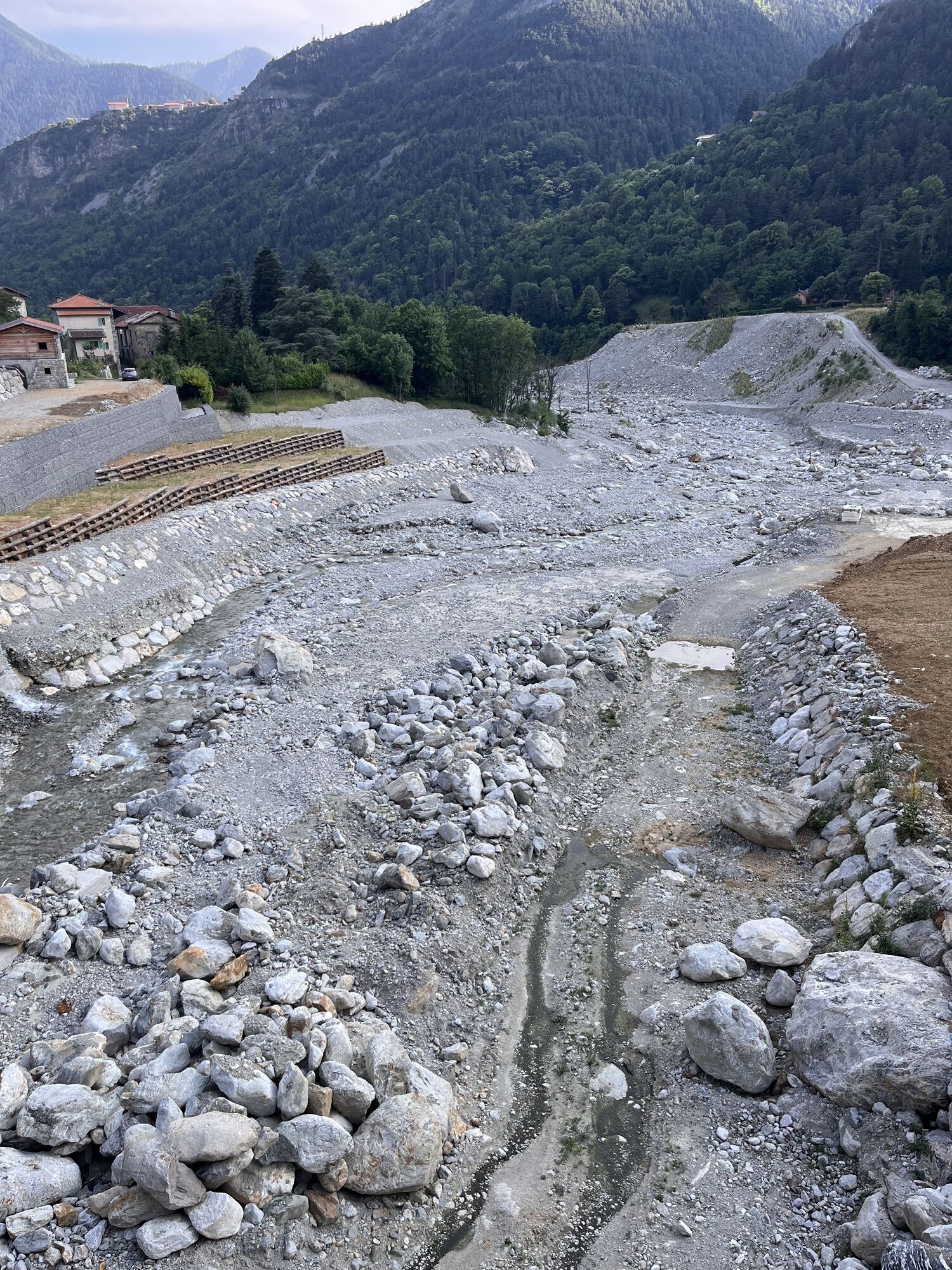
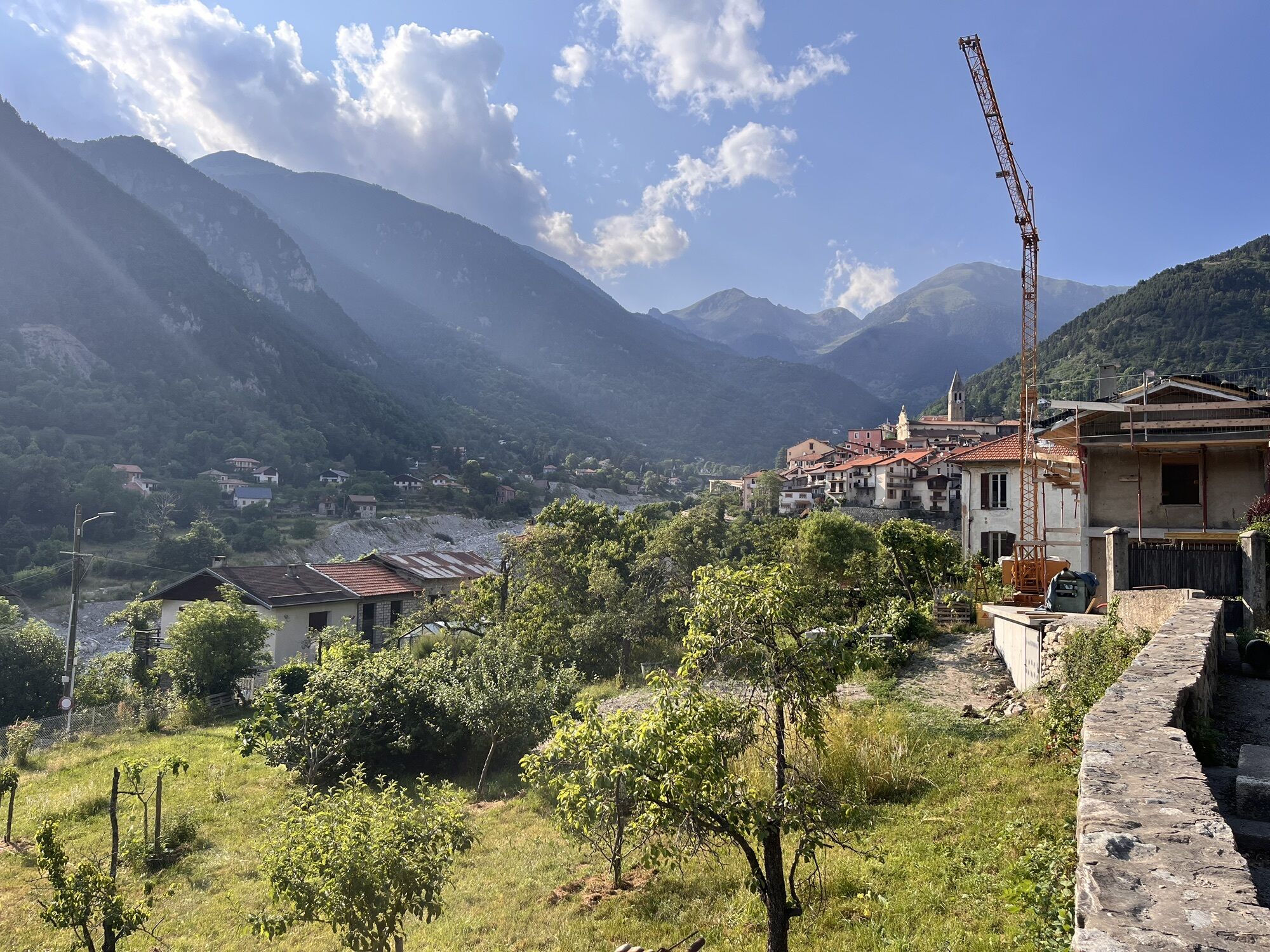
At the exit of Saint-Martin-Vésubie, a village heavily affected by storm Alex, begins the ascent of Col Saint-Martin
The summit of Col Saint-Martin is located in the heart of the La Colmiane resort, the end point of this first stage
Tak
Tak
- Wear a certified helmet
- Check the condition of your tires
- Bring a repair kit in case of a puncture
- Prefer at least one flashing LED light to attach to the seat post to be seen by motorists, especially in the small tunnels that are common in the Metropolis
- Remember to take a windbreaker or waterproof jacket for the descent of the pass
BASIC RULES
Choose the climb of a pass suited to your physical condition, do not overestimate your capacities Check the mountain weather and the opening of passes before leaving Remember to carry an ID and a phone number to call in case of danger Respect the environment Control your speed during the descentGOOD PRACTICES FOR RIDING IN GROUPS
Riding two abreast is allowed, but single file is required:
At nightfall or when visibility is poor When a vehicle wanting to overtake signals its approachConsider carpooling
Parking near the starting point
5
To learn more about our destination, visit our website
Recommended accommodation:
Adrechas hotel residence adapted for sports stays
Route de la Via Ferrata – La Colmiane – 06420 VALDEBLORE / Tel: 09 53 28 27 75
All outdoor activities of the Nice Côte d'Azur Metropolis are available on https://outdoor.nicecotedazur.org
Kamery internetowe z trasy
Popularne wycieczki w okolicy
-
5,0
Little hike at Eze: Fort de la Revère Circuit
światłoWędrówka 6,02 km -
Nice - Aspremont / Pagarine Route (stage 1)
średniWędrówka 15,8 km -
4,0
Little hike in Aspremont: Mont Chauve circuit
światłoWędrówka 6,49 km -
FFC bike circuit no. 5: on the Tour De France routes (big loop)
średniDroga rowerowa 74,2 km -
5,0
Goldtoni - Alpenbogen A102 Monaco-Sospel
światłodługodystansowy szlak pieszy 29,7 km -
The "Route des Paysages" between the coast and the middle country of Nice
światłoMotorrad 147,7 km -
FFC MTB route no. 25: The summit of Broc
średniMountainbike 18,9 km -
VTT FFC circuit no. 7 - The Olive Trees Loop
światłoMountainbike 8,09 km -
Utelle - Roquebillière / Pagarine route (stage 4)
średniWędrówka 20,0 km -
FFC mountain bike circuit no. 1: The Mont Chauve route
średniMountainbike 11 km
Wędrówki i tropienie


Nie przegap ofert i inspiracji na następne wakacje
Twój adres e-mail została dodana do listy mailingowej.