



Climb of the Col de la Couillole

Poziom trudności: 5

The Col de la Couillole is part of the mythical history of the Tour de France. Indeed, it was climbed during the legendary stage of the Tour in 1975 between Nice and Pra Loup. After climbing the Col de...
The Col de la Couillole is part of the mythical history of the Tour de France. Indeed, it was climbed during the legendary stage of the Tour in 1975 between Nice and Pra Loup. After climbing the Col de la Couillole, then the Champs and Allos passes, Bernard Thévenet defeated the 'Cannibal,' Eddy Merckx, in the final of Pra Loup.
The pass was also the stage finish for the 7th stage of Paris-Nice 2017, won by Richie Porte.

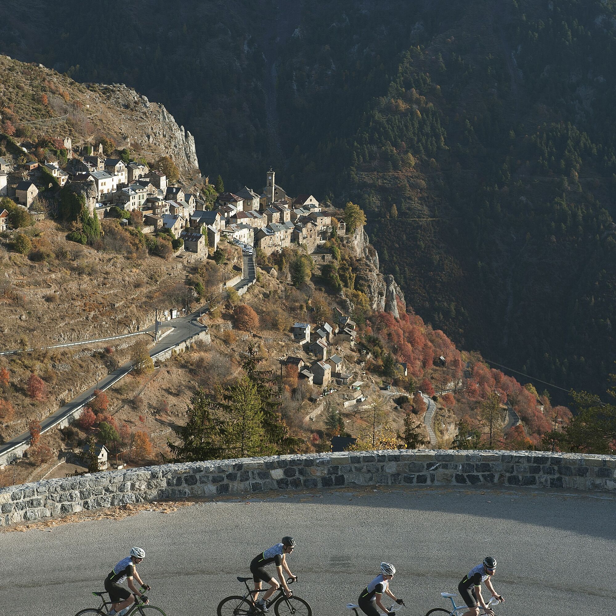
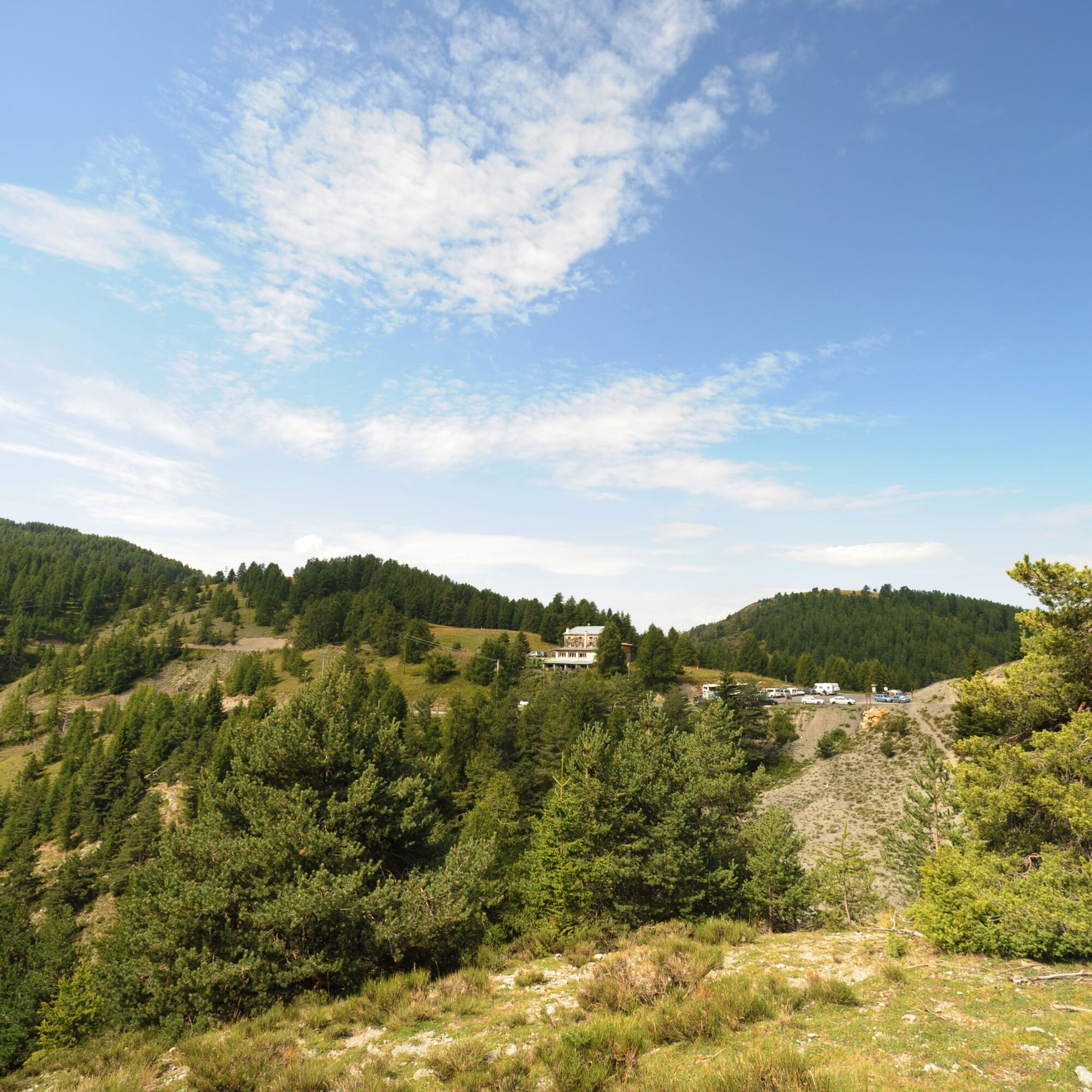

After crossing the Pont de la Tinée, follow the RM 30 which climbs relentlessly to the summit.
The ascent passes below the village of Roure and a little further very close to Roubion.
Tak
-Wear an approved helmet
-Monitor the condition of your tires
-Carry a repair kit in case of a puncture
-Prefer at least one blinking LED light to attach to the seat post to be seen by motorists, especially in the small tunnels on the climb;
- Remember to take a windbreaker or raincoat for the descent of the pass
BASIC RULES
Choose a pass climb suitable for your physical condition, do not overestimate your abilities
Check mountain weather and pass openings before departure
Remember to carry an ID and an emergency phone number
Respect the environment
Control your speed during the descent
Nice and its Metropolis is served by the A8 motorway "La Provençale", coming from Aix-en-Provence to the West and from the border to the East.
To reach Saint-Sauveur sur Tinée:
Exit n°52: Saint-Isidore
Then the RM 60202 towards Digne
At the pont de la Mescla, in the gorges of the same name, take the RM 2205 road to the Tinée towards Saint-Sauveur sur Tinée
At the village exit take the RM 30 towards Roure – Col de la Couillole
Find the bus lines at : https://www.lignesdazur.com
A few spaces are available near the panoramic departure point of the bike loops of the Metropolis on the edge of the RM 2205. However, prioritize parking below the RM 2205, on the banks of the Tinée, in the direction of the gendarmerie
5
All outdoor activities of the Nice Côte d'Azur Metropolis are on https://outdoor.nicecotedazur.org
All outdoor activities of the Nice Côte d'Azur Metropolis are on https://outdoor.nicecotedazur.org

Popularne wycieczki w okolicy
FFC cycling circuit no. 33: the Tinée cycle path
światłoDroga rowerowa 29,4 km- 5,0
Goldtoni - Alpenbogen A079 Roya-Saint Sauveur sur Tinée
średnidługodystansowy szlak pieszy 38,6 km FFC cycling circuit no. 30: the loop of the Col de la Couillole
ciężkiDroga rowerowa 70,8 kmAuron - Nice gravel route
ciężkiKolarstwo długodystansowe 364,4 kmMountain bike FFC circuit no. 53: The Madeleine Pass - La Colmiane
ciężkiMountainbike 18,8 kmFFC mountain bike route no. 11: The pointe de la Penna
średniMountainbike 11,1 kmSnowshoe Hike Starting Point - Lombarde Pass
średniRakieta do chodzenia po śniegu 4,09 km- 5,0
Goldtoni - Alpenbogen A080 Saint Sauveur Sur Tinée-Utelle
średnidługodystansowy szlak pieszy 40,7 km Snowshoe Hike Starting Point - Pelevos
średniRakieta do chodzenia po śniegu 3,22 kmSnowshoe hike ‘Caïre Gros’
ciężkiRakieta do chodzenia po śniegu 9,42 km
Wędrówki i tropienie


Nie przegap ofert i inspiracji na następne wakacje
Twój adres e-mail została dodana do listy mailingowej.


