







Col de Vence climb
This is a particularly difficult pass in summer. The landscape becomes desolate as you climb, and there's no shade to be found for the entire 10km. Facing due south, the temperature can easily reach 35°....
This is a particularly difficult pass in summer. The landscape becomes desolate as you climb, and there's no shade to be found for the entire 10km. Facing due south, the temperature can easily reach 35°. For this reason, the climb is recommended in the early morning.
Don't forget to fill your water bottle at the foot of the pass, at the little fountain near the start.

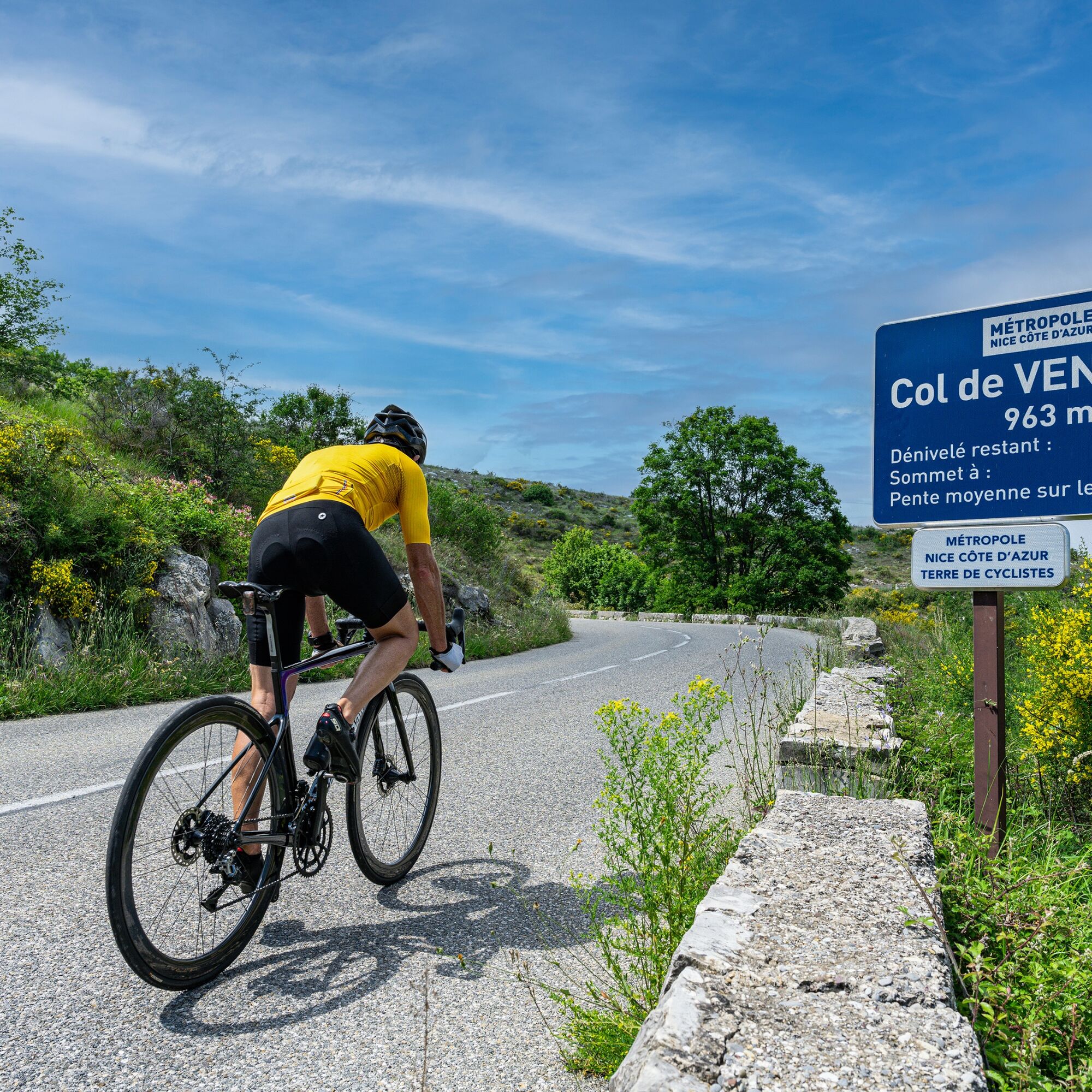

From the start, follow RM 2.
The first urban kilometer has steep gradients.
After the quarry, at the start of the climb, on the 3 rd kilometer, the gradient becomes steeper, with passages of over 10% for 500 m.
The remainder of the pass is steady but without any flat spots, with an average gradient of 6.5-7%.
-Wear an approved helmet
-Check the condition of your tires
-Carry a repair kit in case of a puncture
-Prefer at least one flashing LED light to be fixed to the seatpost so that you can be seen by motorists.
BASIC RULES
Choose a climb suited to your physical condition, and don't overestimate your abilities.Before setting off, find out about mountain weather conditions and pass opening times.
Carry identification and a telephone number to call in case of danger.
Respect the environment
Control your speed on the fast descent
Bus routes can be found at: https://www.lignesdazur.com
By road
Vence is located high on the coastline.
To get there, take the A8 "La Provençale" freeway from Aix-en-Provence and the west:
N°47 Villeneuve-Loubet: Villeneuve-Loubet Centre, Vence , Cagnes-sur-Mer
From the eastern border, take the Cagnes sur Mer exit:
N°48 Cagnes at 181 km: Vence, Cagnes-sur-Mer
Then take the RM36 towards Vence
Bus routes can be found at: https://www.lignesdazur.com
Parking Marie Antoinette near the panoramic departure point - Paid surface parking - 153 spaces
All outdoor activities in the Nice Côte d&039;Azur region can be found at
Popularne wycieczki w okolicy
-
Nice - Aspremont / Pagarine Route (stage 1)
średniWędrówka 15,8 km -
Grande Randonnée® de Pays: Lou Camin Nissart
ciężkidługodystansowy szlak pieszy 44,7 km -
4,0
Little hike in Aspremont: Mont Chauve circuit
światłoWędrówka 6,49 km -
FFC bike circuit no. 5: on the Tour De France routes (big loop)
średniDroga rowerowa 74,2 km -
FFC bike circuit no. 8: the 70.3 circuit (Half IRONMAN)
średniDroga rowerowa 92,8 km -
FFC bike route no. 7: Tour of Vence
światłoDroga rowerowa 57,7 km -
A short walk in Saint-Jeannet : Les Baous de la Gaude and St-Jeannet
średniWędrówka 12,2 km -
FFC MTB route no. 25: The summit of Broc
średniMountainbike 18,9 km -
VTT FFC circuit no. 7 - The Olive Trees Loop
światłoMountainbike 8,09 km -
FFC mountain bike circuit no. 1: The Mont Chauve route
średniMountainbike 11 km
Wędrówki i tropienie


Nie przegap ofert i inspiracji na następne wakacje
Twój adres e-mail została dodana do listy mailingowej.





