


FFC cycling route No. 36: La Bonette on both sides and the Vars pass
Poziom trudności: 6
Crossing the Mercantour Park by road and linking the Tinée valley to the Ubaye valley via the Bonette pass, classified hors catégorie during the recent Tour de France stages, is a true personal sporting...
Crossing the Mercantour Park by road and linking the Tinée valley to the Ubaye valley via the Bonette pass, classified hors catégorie during the recent Tour de France stages, is a true personal sporting achievement in the image of the great riders. The route is recommended for experienced cyclists, with 3 ascents for a positive elevation gain of nearly 4,000 m. It remains accessible to those who train beforehand. On the day, they will try to climb at their own pace by conserving their physical strength over time.
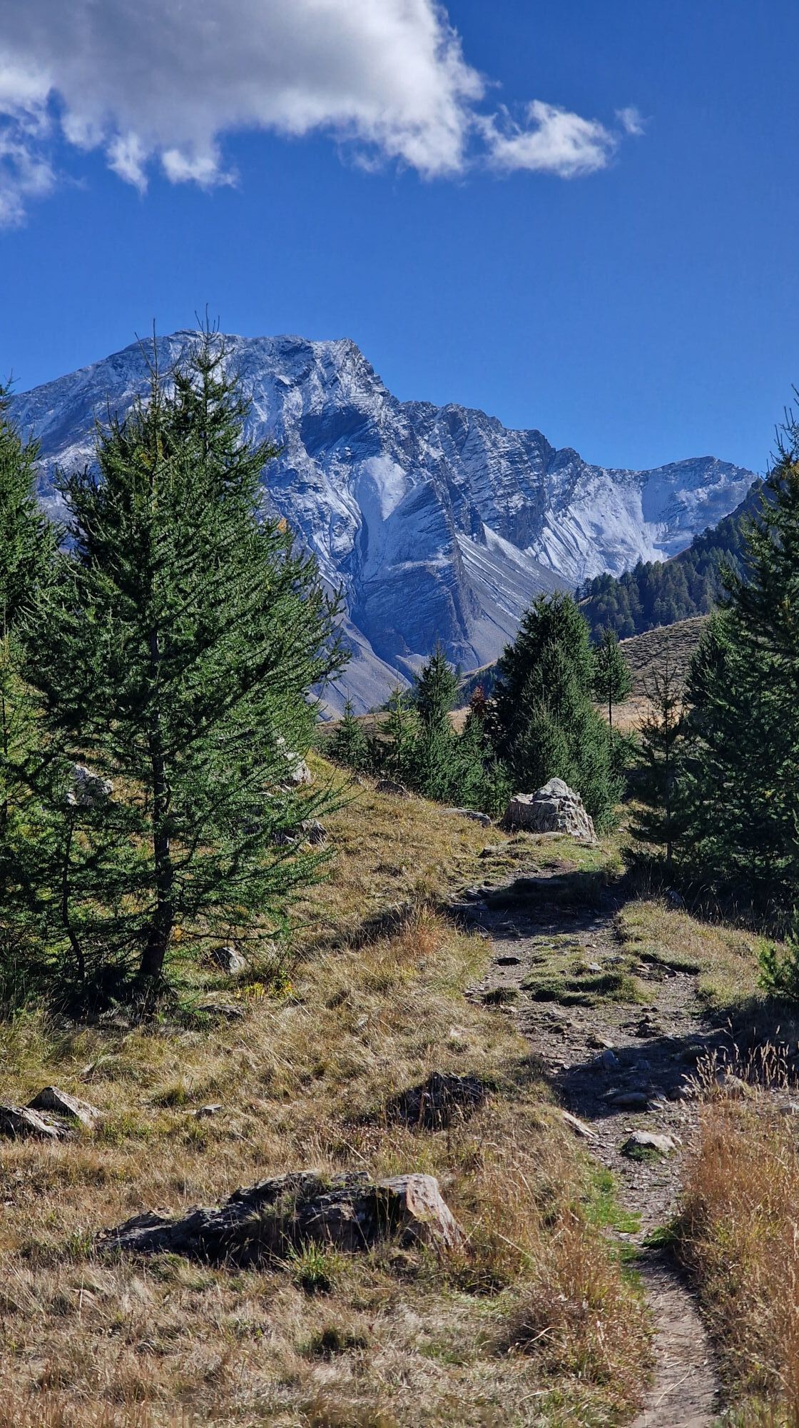
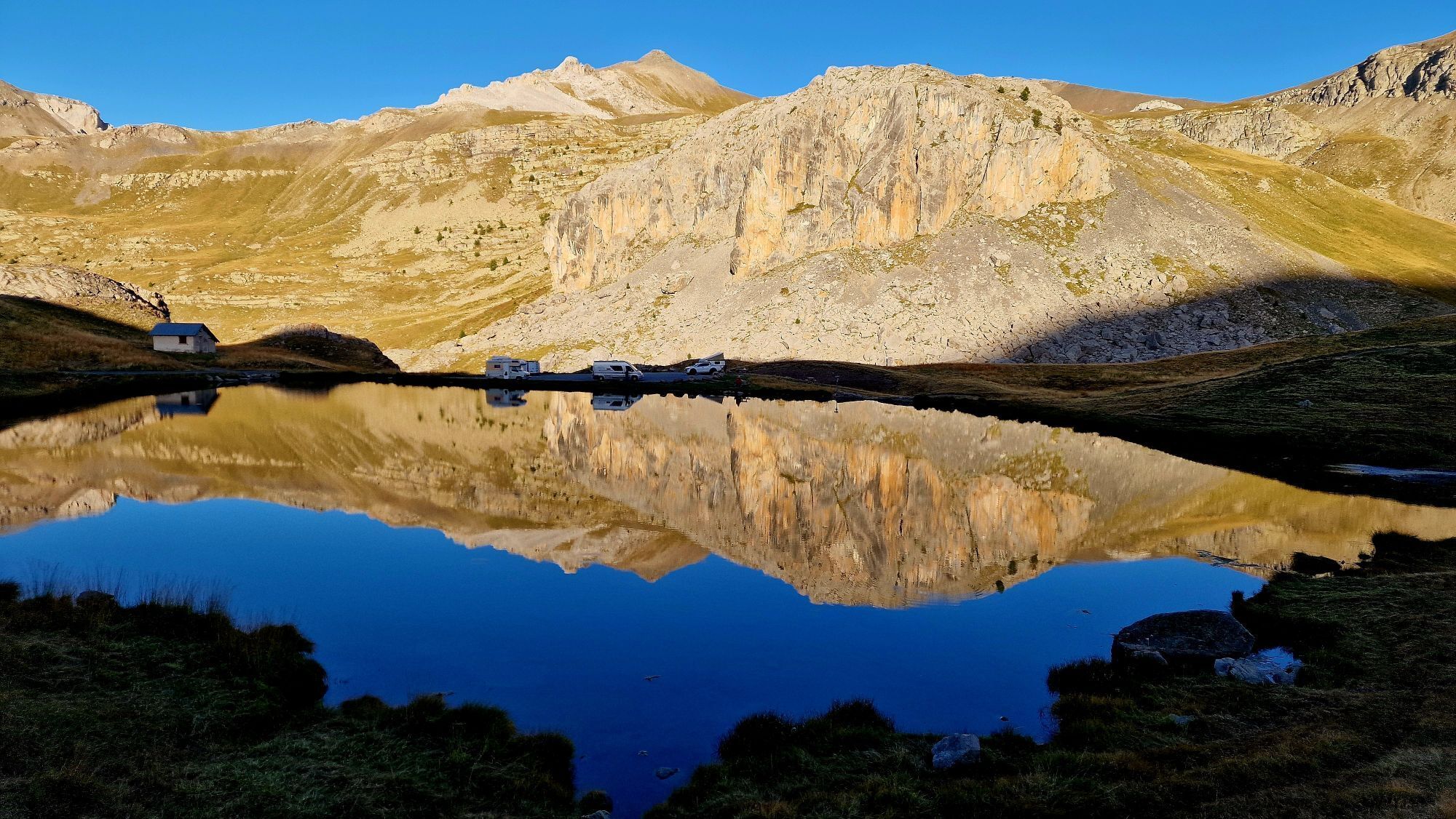
This will be an opportunity to enjoy this high mountain environment and discover the many World War II military remains, notably the Fourches camp located on the southern side and once occupied by the military.
All outdoor activities of the Nice Côte d'Azur Metropolis are on https://outdoor.nicecotedazur.org

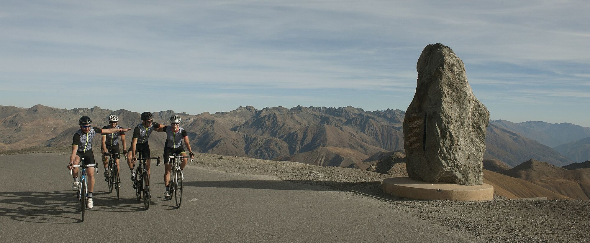
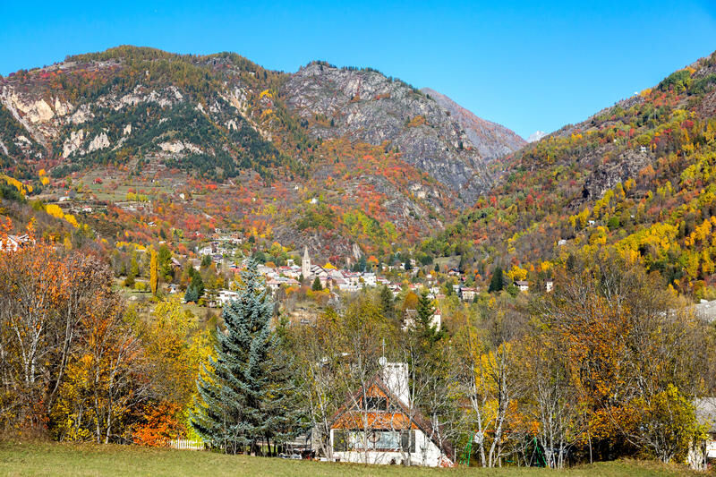
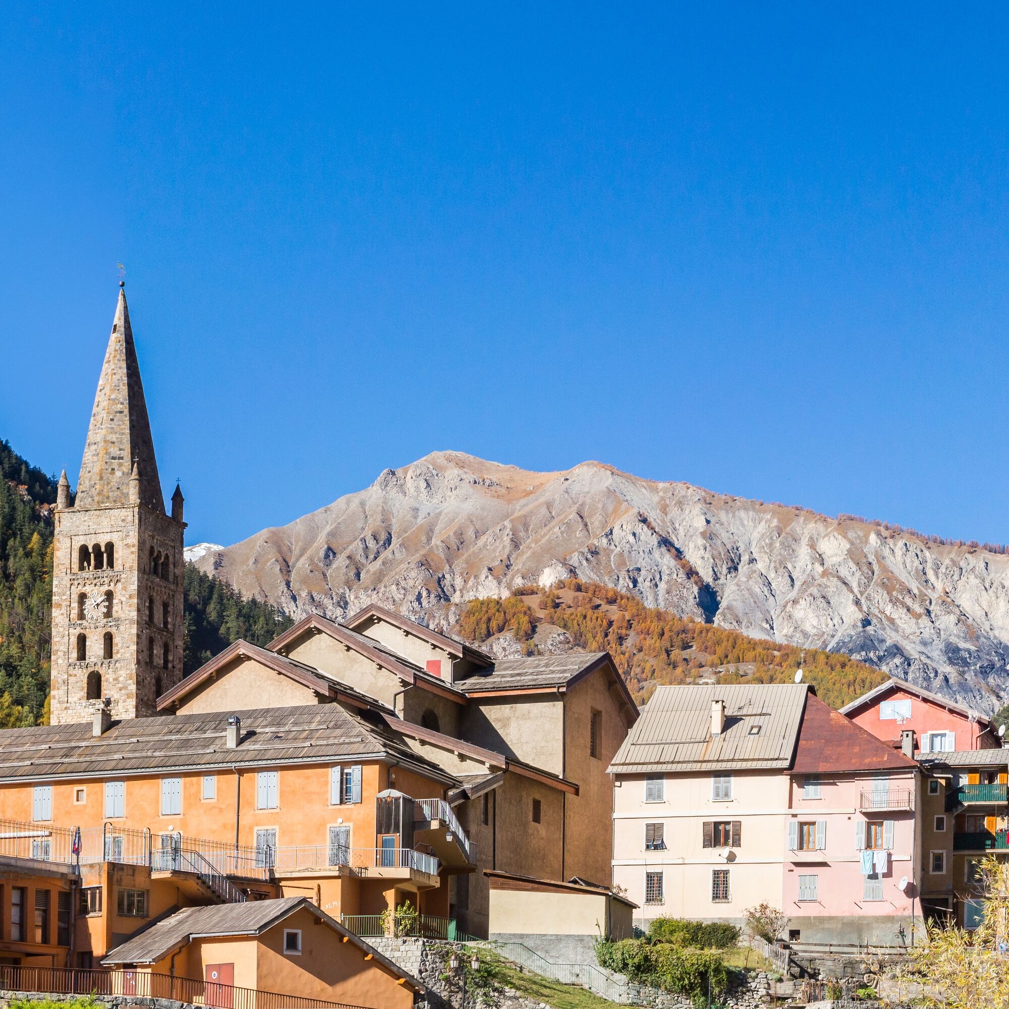
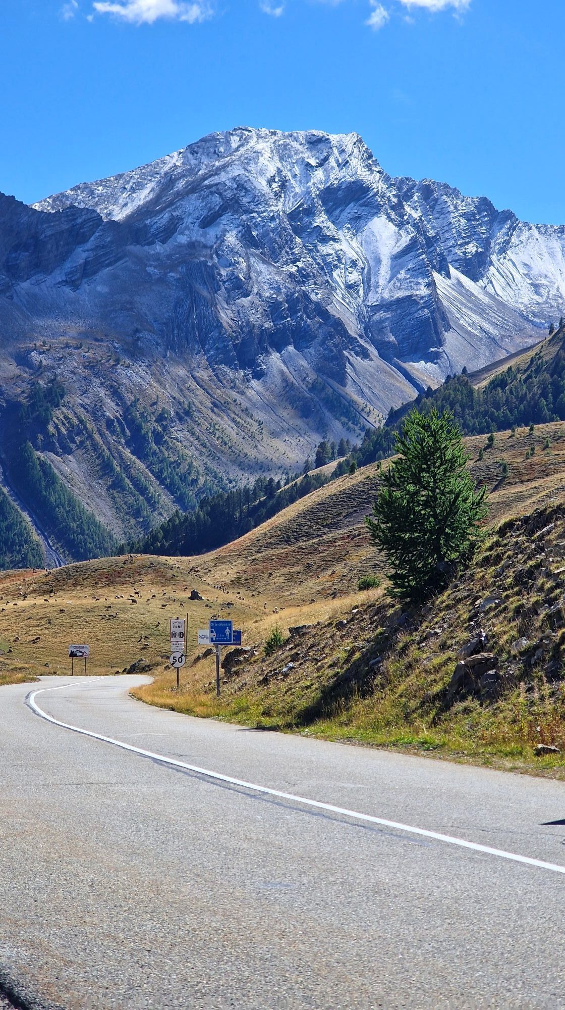
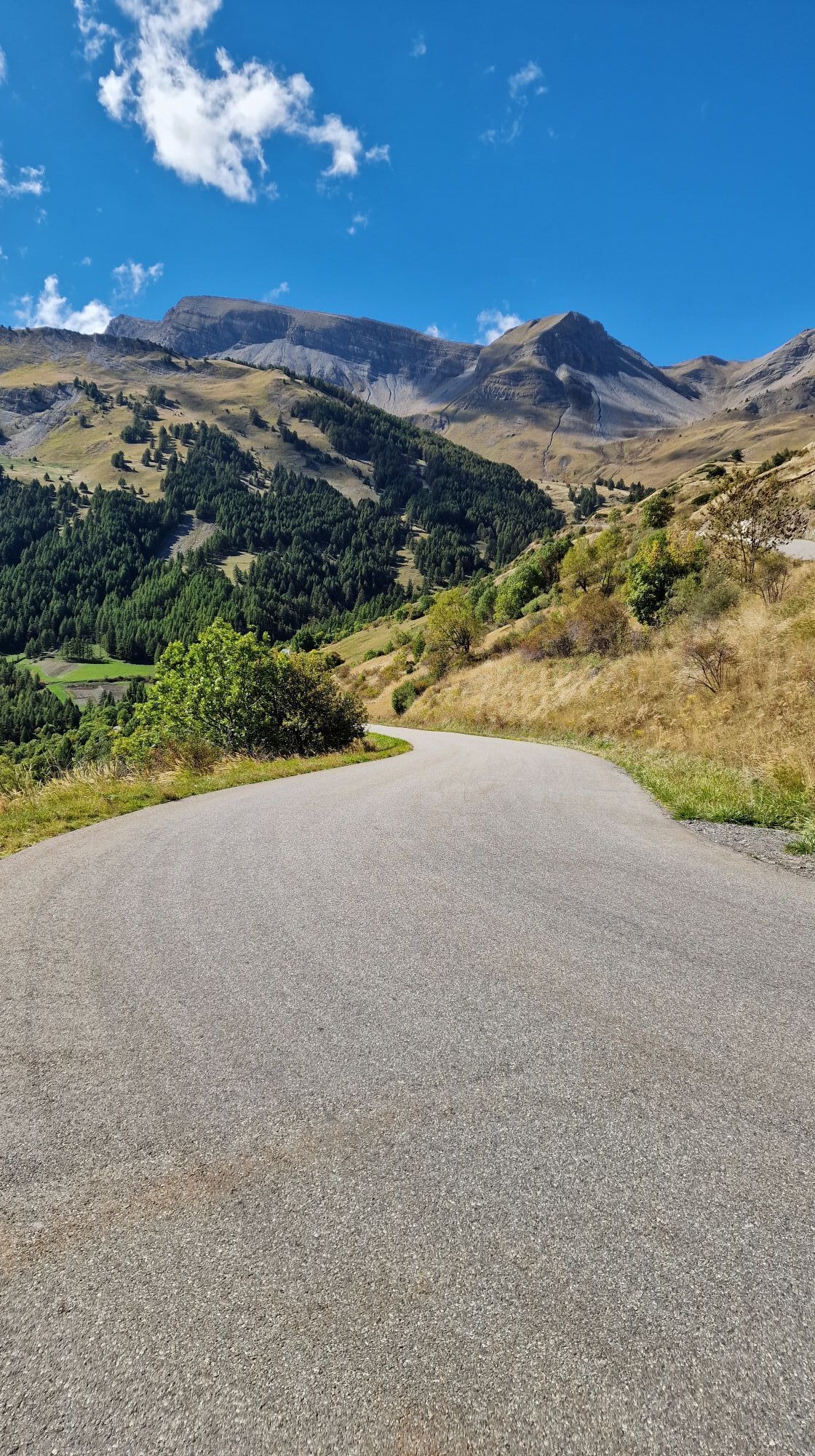
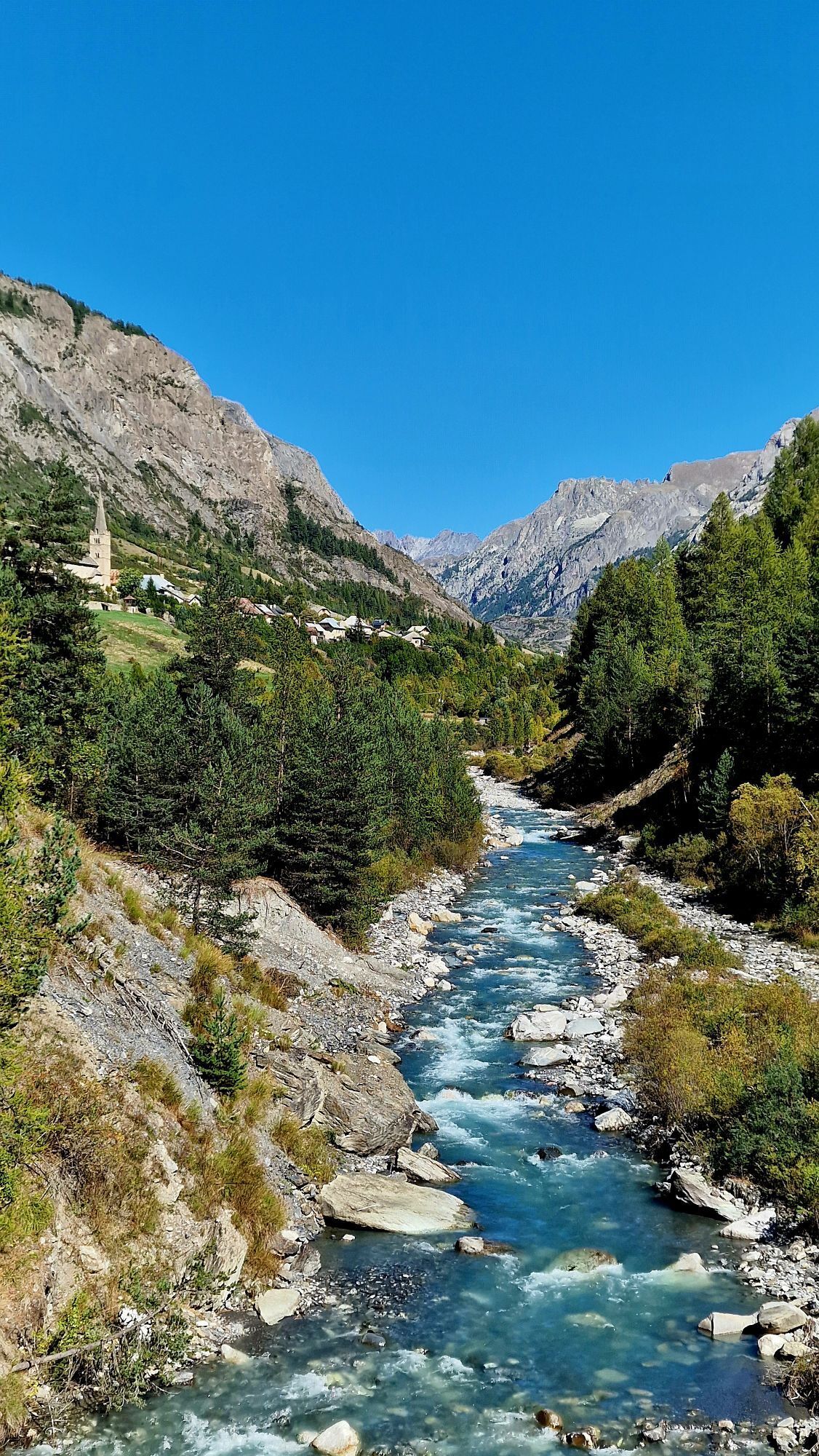
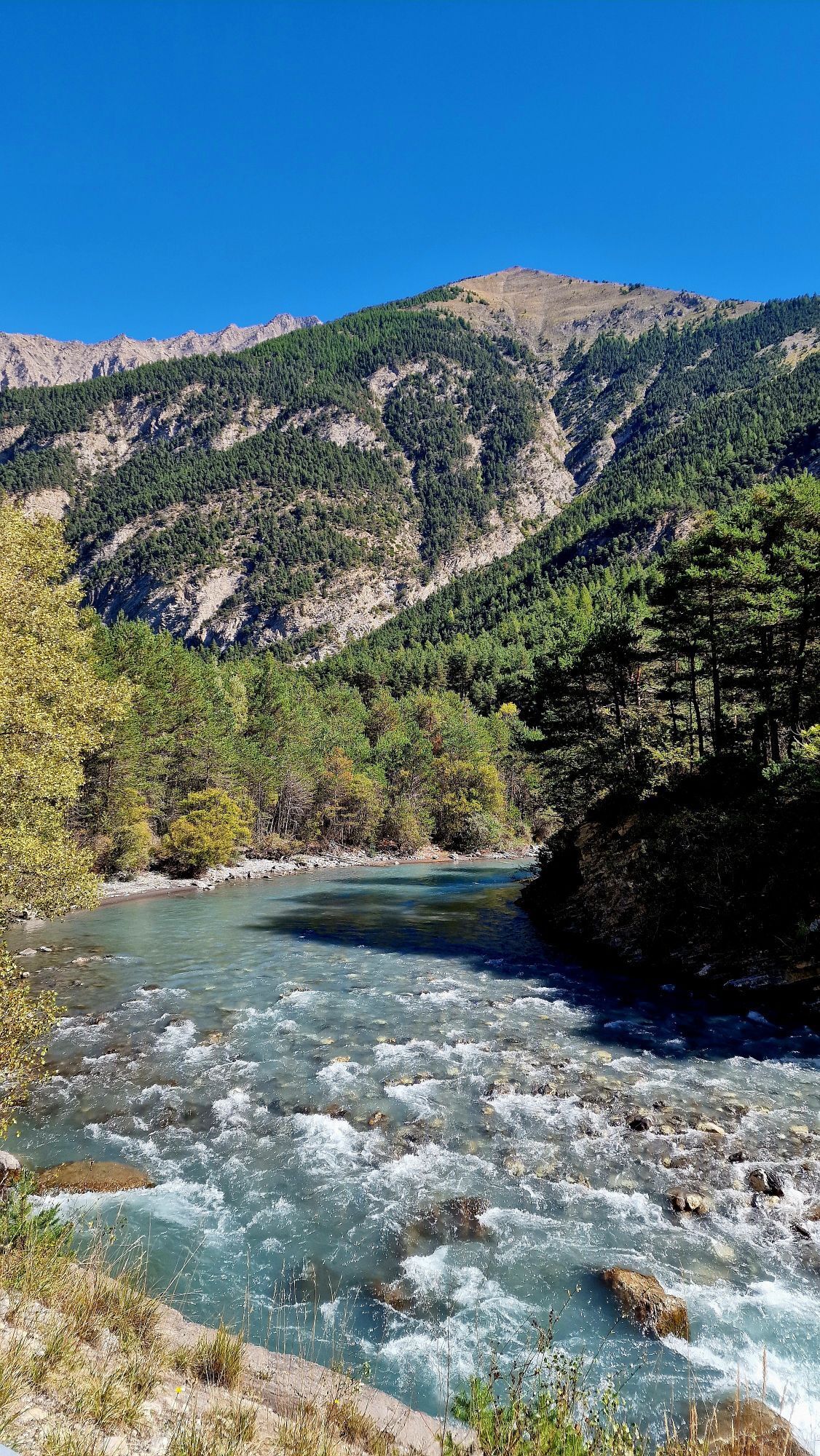
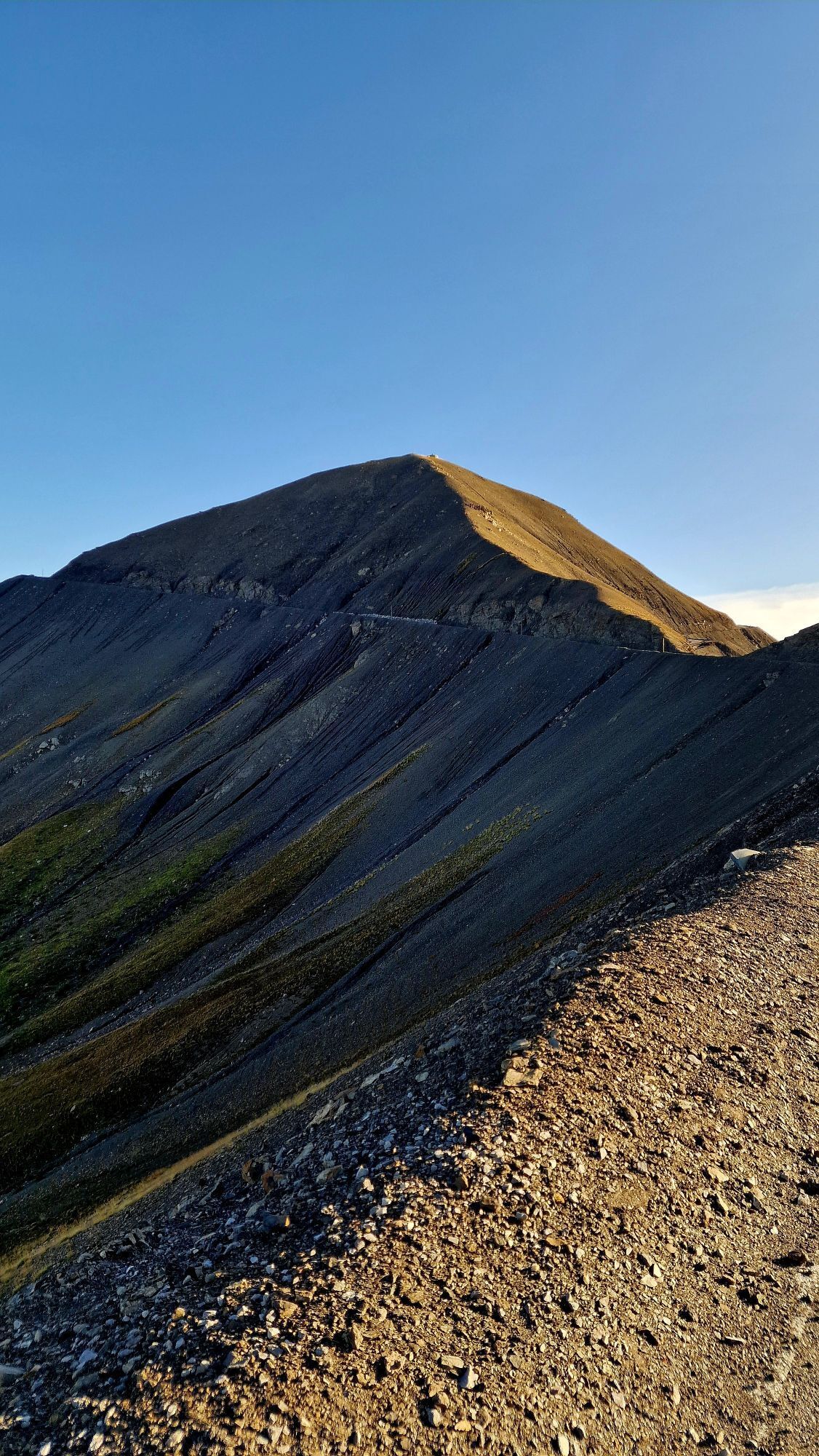
The start sign is located at the end of the bridge spanning the Tinée river, at the crossroads with the Saint-Dalmas road and Maurice Rovery boulevard. This is also where the start sign of the Bonette summit is located, indicating the difficulty: 25.5 km with average slopes over several kilometers at 9%. From this point, taking the direction of the pass via RM 2205, you reach Km 4, the place called Pont-Haut crossing the Tinée. At the bridge exit, turn right onto RM 64, the road becomes narrower, indicating the entrance to the Mercantour Park. After passing the hamlet of Pra and the village of Bousièyas, the road winds in hairpins up to the Fourches camp. The Raspaillon pass announces arrival at the summit of the Bonette-Restefond pass (Km 24.6), the route invites cyclists to cross directly to Jausiers without going through the steep slope of the Bonette summit. Indeed, many difficulties remain to be faced. The long descent on the Jausiers side leads to the intersection of the RD 900 (Km 46.6). From this crossing point, turn right towards the Vars pass. Arriving at the so-called Glizolles crossroads, turn left onto RD 902, direction Vars pass whose ascent is announced at a length of 14.1 km. But in fact, the real climb starts at Saint-Paul-sur Ubaye, the road rises to the left following RD 902. The ascent is not too difficult even if the last 5 km have an average of 9%. At the summit, the view is remarkable. The return is made by taking the road in the opposite direction with the Bonette pass via the north side.
Tak
-Wear an approved helmet
-Check the condition of your tires
-Bring a repair kit in case of puncture
-Prefer at least a flashing LED light to attach to the seat post to be seen by motorists
-Do not overestimate your physical abilities
-Check the mountain weather and pass openings before departure
-Respect the environment and other road users
Nice is served by the A8 highway "La Provençale", coming from Aix-en-Provence to the West and from the border to the East.
Take Exit No. 52: Saint-Isidore
Direction Digne
Then take the Tinée Road (RM 2205)
Find the bus lines at: https://www.lignesdazur.com
Large Cartel parking lot, located on RM 2205, very close to the route start sign
6
Route for experienced cyclists - FFC color: black - ! COL DE LA BONETTE CLOSED IN WINTER
Popularne wycieczki w okolicy
- 4,5
Col de Larche - Lac du Lauzanier, France
światłoWędrówka 13,7 km - 5,0
eBike MNCA stage 2: St-Dalmas-Le-Selvage - St-Etienne-de-Tinée
średniMountainbike 43,2 km - 5,0
Goldtoni - Alpenbogen A077 Refugium Campo-Bousieyas
średnidługodystansowy szlak pieszy 34,1 km - 5,0
Chiappera- Spaziergang
światłoWędrówka 8,39 km Mountain Bike FFC circuit no. 37: Col d'Anelle
ciężkiMountainbike 11,2 kmSnowshoe trekking La cabane de la Braisse
ciężkiRakieta do chodzenia po śniegu 10,9 kmSnowshoe trekking Plateau D'Anelle
średniRakieta do chodzenia po śniegu 7,51 kmMTB FFC circuit no. 38: Col de la Moutière / Bonette summit
ciężkiMountainbike 37,2 kmSnowshoe trekking Circuit Gianto
ciężkiRakieta do chodzenia po śniegu 6,22 kmn°8 : Rocher de Junic
średniWędrówka 2,66 km
Wędrówki i tropienie


Nie przegap ofert i inspiracji na następne wakacje
Twój adres e-mail została dodana do listy mailingowej.