


FFC cycling circuit No. 28: The loop of the 2 valleys
Poziom trudności: 5
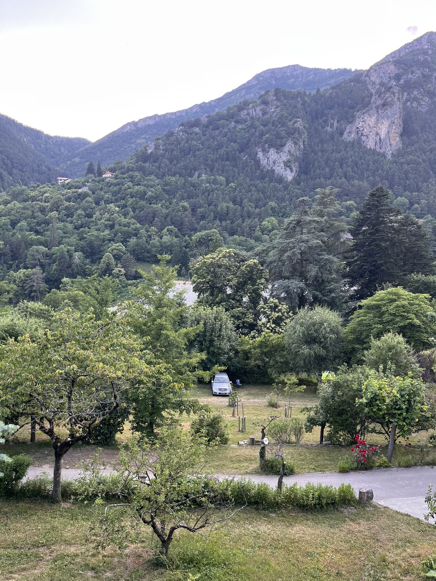
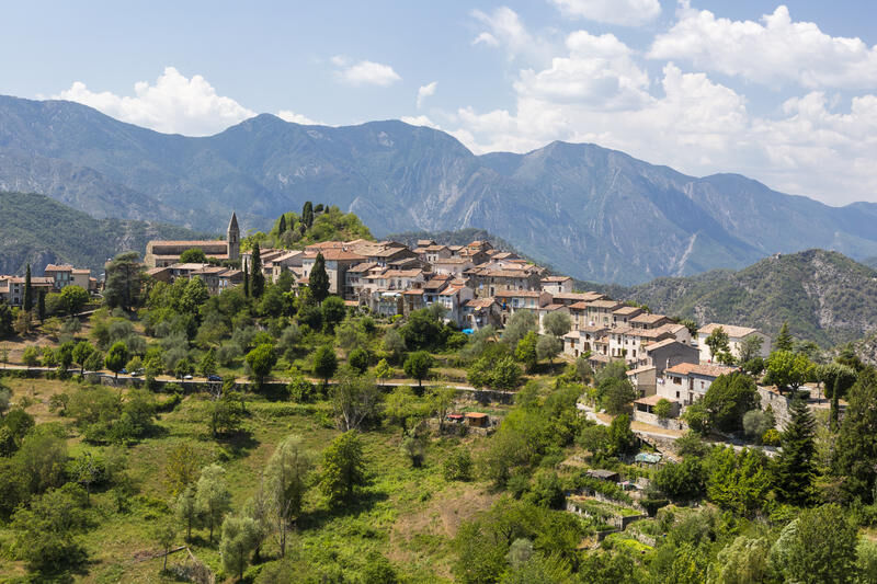
The village of La Tour sur Tinée, the first climb of the day, is worth the detour. Entering the village alleys and discovering the square and its fountain is a pleasure to share.
Then reaching the Sanctuary...
The village of La Tour sur Tinée, the first climb of the day, is worth the detour. Entering the village alleys and discovering the square and its fountain is a pleasure to share.
Then reaching the Sanctuary of the Madone d’Utelle is a reward but the interest of this climb is to go a little further on the road to reach the orientation table and discover an exceptional panorama from the Mediterranean Sea to the peaks of the Mercantour.
On the descent, the village of Utelle is also to be discovered. This will also be an opportunity to fill water bottles at the village square fountain, named Place de la République.
All outdoor activities of the Nice Côte d'Azur Metropolis are on https://outdoor.nicecotedazur.org

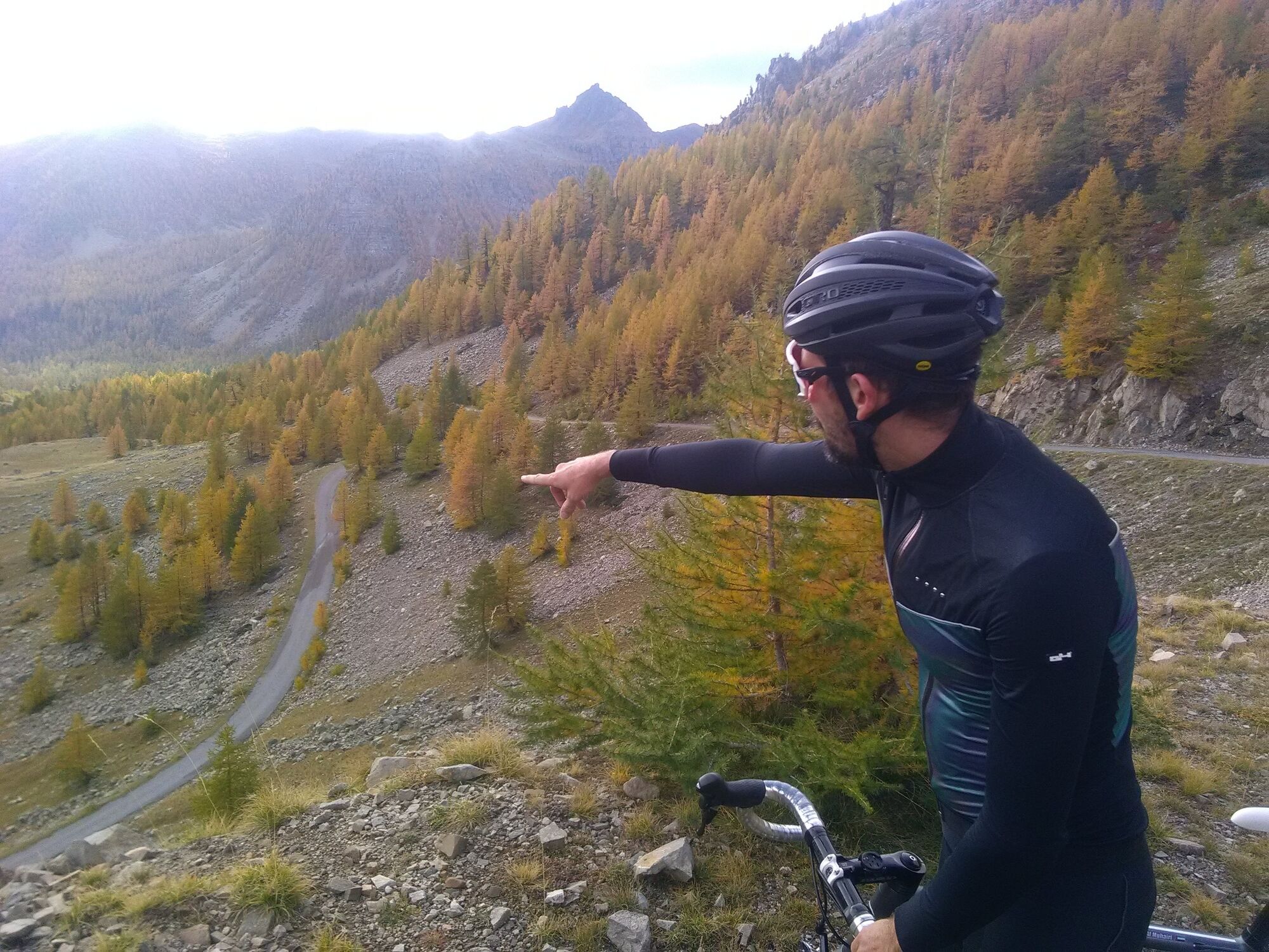

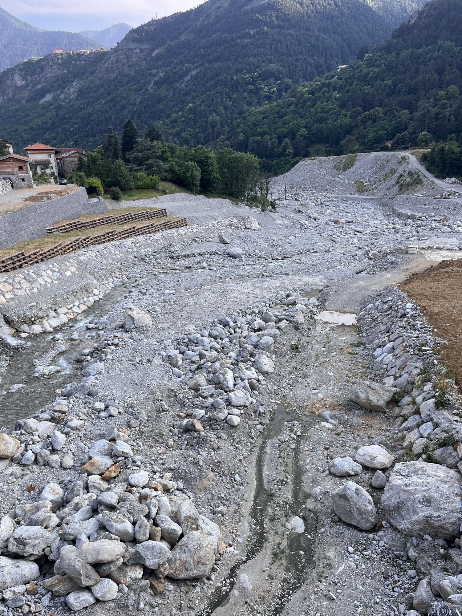
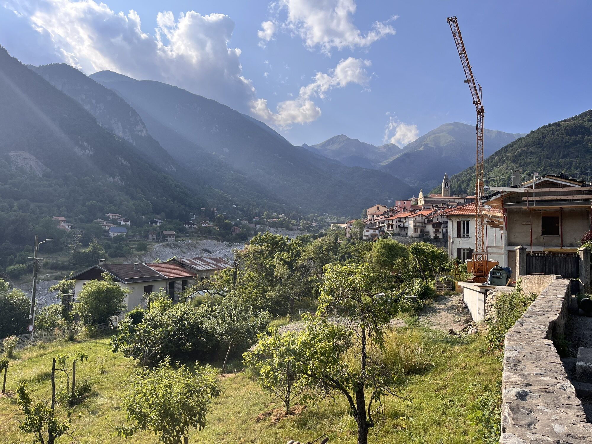
The start is at the roundabout of the RM 2205 towards Nice. At Km 5.3, turn left onto the climb RM 32 toward La Tour sur Tinée (RM32), which is on a good surface, quite rolling with hairpins offering the cyclist moments of recovery. The road after the village leads to the Vésubie side after two steep climbs. At the junction of Utelle and the Madone (Km 24.5), the most courageous will choose to take the planned detour via the sanctuary a few kilometers away, while the less daring can join the road of the Vésubie (RM 2565) and Saint-Jean la Rivière. From there, head towards Roquebillière. At km 49.6 at the exit of the place called Le Suquet, turn left onto RM 373, which leads to the village of Pélasque, a climb discovered during the 2019 Paris-Nice stage. The descent leads directly to Lantosque, where at the exit of the village, you find the direction to Saint-Martin Vésubie, after crossing the river, the RM 2565 (Km 60.5). The village of Saint-Martin Vésubie Km 74 is the true starting point of the last difficulty, the col Saint-Martin (1,500 m), where the heart of the La Colmiane ski resort is located. The end of the descent joins the Tinée valley (RM 2205). From the crossroads, heading towards Nice, you return to the starting point at Pont de Clans.
Tak
-Wear an approved helmet
-Check the condition of your tires
-Leave with a repair kit in case of a flat tire
-Prefer at least a flashing LED light to attach to the seat post to be seen by motorists
-Do not overestimate your physical abilities
-Get information before leaving about mountain weather and pass openings
-Remember to carry an identity card and a number to call in case of danger
-Respect the environment and other road users
Located 55 km from Nice, this departure point allows you to easily and safely take routes that would not always be easy to do from Nice, otherwise covering many kilometers on a high-traffic axis.
Nice is served by the A8 highway "La Provençale", coming from Aix-en-Provence to the West and the border to the East.
To reach the departure located 55 km from Nice :
Take Exit No. 52: Saint-Isidore
Direction Digne via RM 6202
Then take the Route de la Tinée (RM 2205)
Find bus lines at : https://www.lignesdazur.com
Parking located at the departure roundabout - Spaces available
5
At the exit of the place called Le Suquet, the itinerary includes a detour via Pélasque. This difficulty can be avoided by continuing on the RM 2565 from the village of Lantosque and Roquebillière, the start and finish point of the loop.
Circuit for experienced cyclists - FFC Color: Black - Very difficult
Popularne wycieczki w okolicy
-
The Salt Roads: The Pagarine Route
średnidługodystansowy szlak pieszy 159,7 km -
5,0
FFC cycling circuit No. 32: The loop of the 2 valleys from St. Sauveur/Tinée
ciężkiDroga rowerowa 117,8 km -
FFC MTB Circuit No. 4b: Le Turini
średniMountainbike 32,0 km -
Utelle - Roquebillière / Pagarine route (stage 4)
średniWędrówka 20,0 km -
Mountain bike circuit FFC no. 21a: Les granges de la Brasque
ciężkiMountainbike 41,2 km -
Roquebillière - Saint-Martin-Vésubie / Pagarine route (stage 5)
ciężkiWędrówka 18,3 km -
Route n°1 - 2 days - Stage 2 Isola Village - Nice
ciężkiDroga rowerowa 139,4 km -
Mercantour to Nice Electric Mountain Bike Route "e-bike MNCA"
średniMountainbike 236,3 km -
VTT FFC route no. 2: The Férisson dairy farm
ciężkiMountainbike 28,0 km -
Auron - Nice gravel route
ciężkiKolarstwo długodystansowe 364,4 km
Wędrówki i tropienie


Nie przegap ofert i inspiracji na następne wakacje
Twój adres e-mail została dodana do listy mailingowej.