



FFC cycling circuit no. 21: On the roads of the Col de Turini

Poziom trudności: 4
All outdoor activities of the Nice Côte d'Azur Metropolis are on https://outdoor.nicecotedazur.org

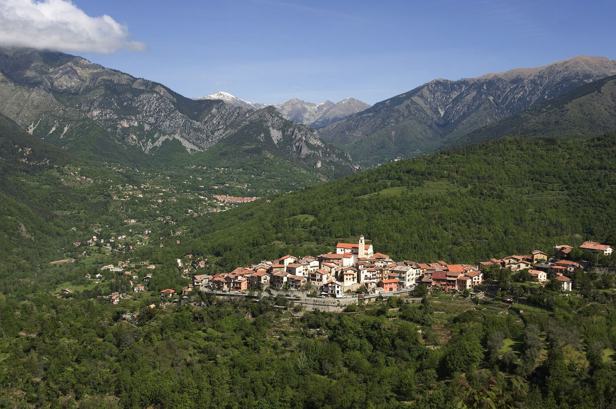
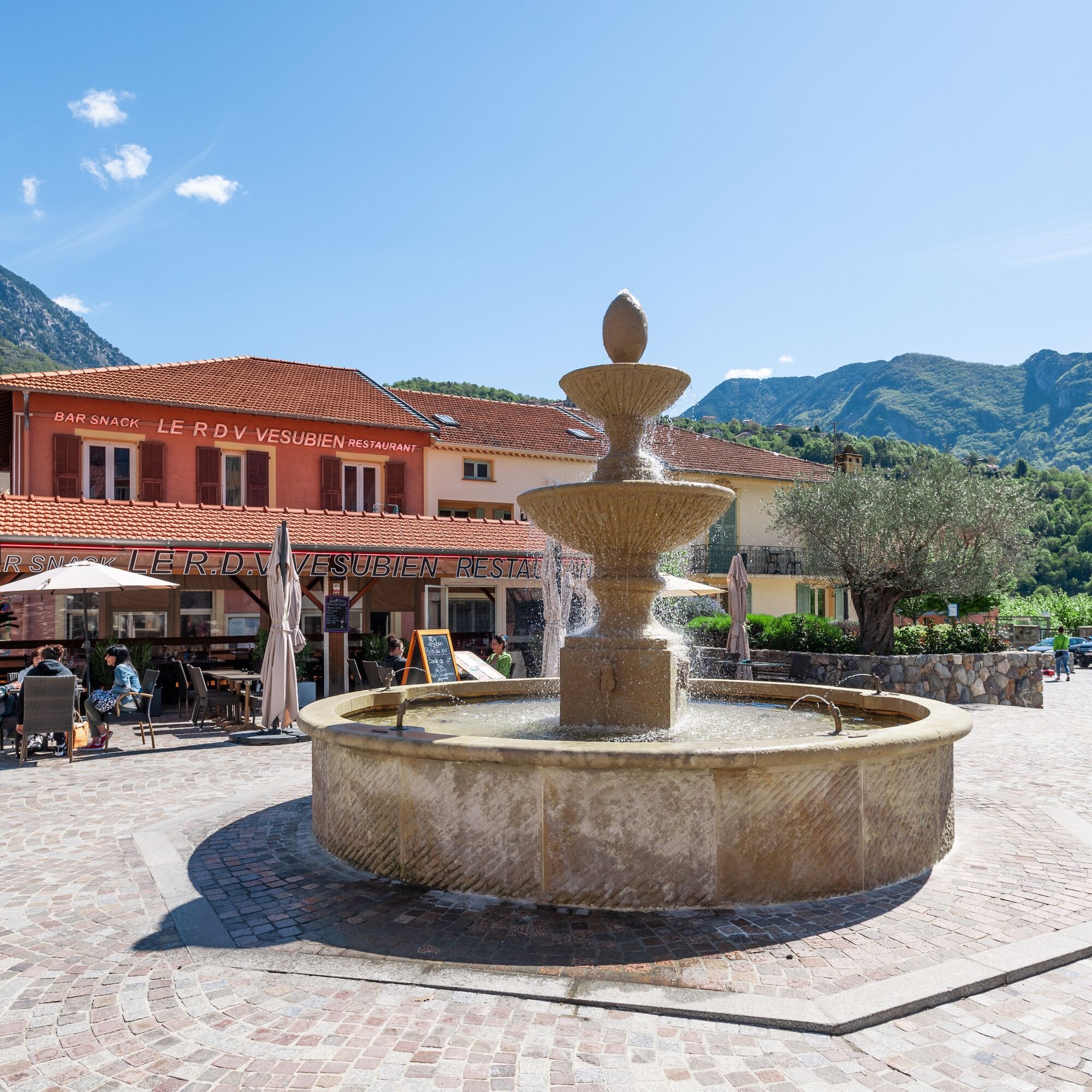

The start is on the square of Avenue Philippe Corniglion (RM 69) heading towards Nice. Once you cross the bridge over the Vésubie river, at the junction with M2565 (Km 1.6) turn right towards Lantosque on the M2565.
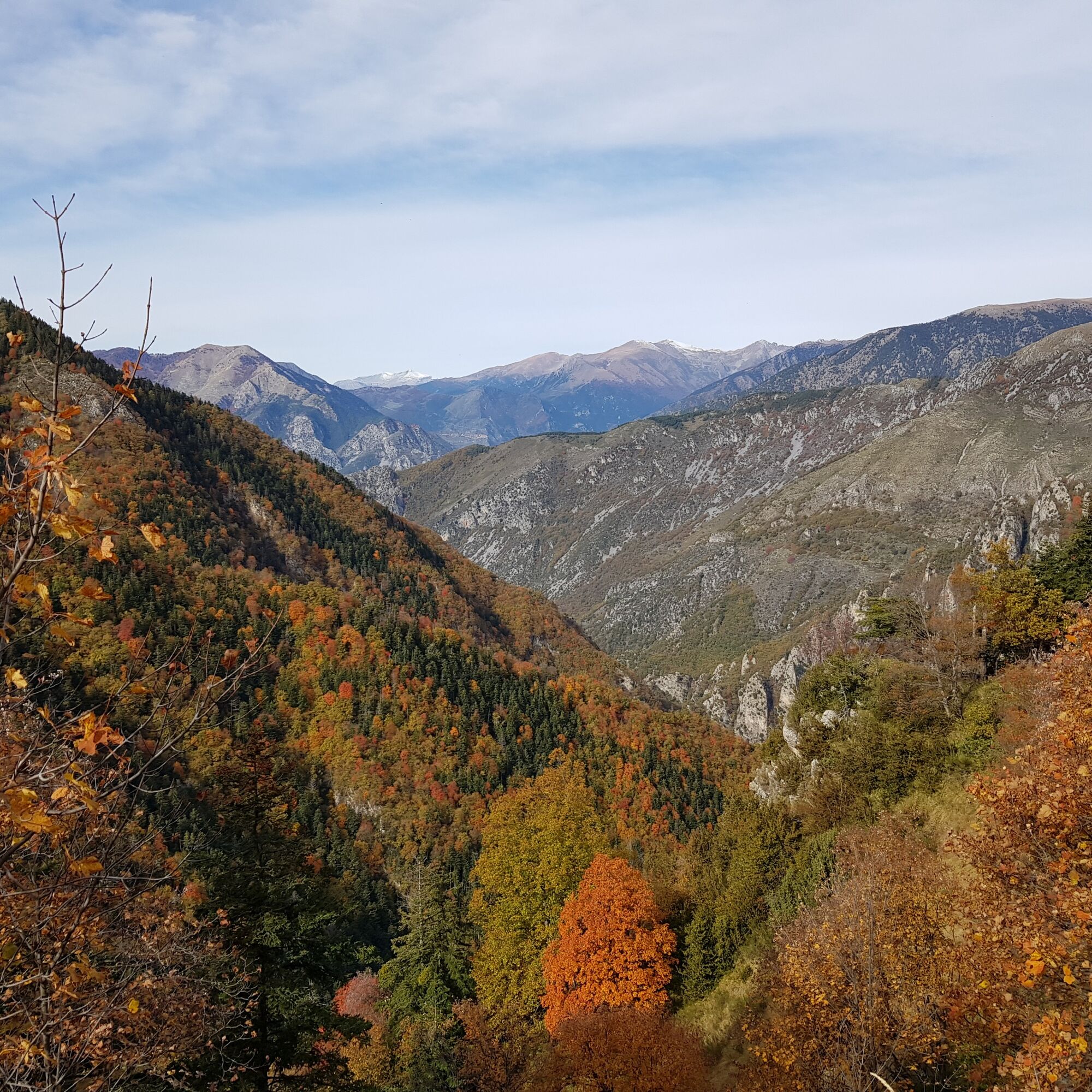
At km 3.1 turn left towards La Bollène Vésubie on RM 70. From this point, you begin the climb of the famous Col de Turini, known for the Monte Carlo rally and recently by the riders of Paris-Nice and the Tour de France. Nearly 16 km long with slopes around 9%, this pass is particularly known for its length and difficulty. At the start of the ascent, the road passes through the village of La Bollène Vésubie and upon leaving its mountain houses, the slope rises a bit more to finish with hairpins in the shade of larches. Once the summit of Col de Turini, located at 1600 m, is reached, head towards Peira Cava following RD 2566.
At km 28.1 continue on RD 2566 towards Lucéram-Nice-Coaraze. The road reaches Col Saint-Roch at the junction with RD 15 and RD 73. Take the latter at this intersection towards Lantosque. The descent of Col de la Porte is winding and narrow, requiring great caution.
The road joins the Vésubie valley and the RM2565. From this junction (Km 48.5) return to the starting point following the direction of Roquebillière.
Tak
Tak
-Wear a certified helmet
-Check the condition of your tires
-Take a repair kit in case of puncture
-Prefer at least a flashing LED light to fix on the seat post to be seen by motorists
-Do not overestimate your abilities
-Check the mountain weather before setting off
-Remember to carry ID and an emergency contact number
-Respect the environment and other road users
Nice is served by the A8 motorway "La Provençale", coming from Aix-en-Provence to the West and the border to the East.
To reach the start:
Take Exit No. 52: Saint-Isidore
Direction Digne via RM 6202
Then take the Vésubie Road
Find the bus lines on: https://www.lignesdazur.com
Available parking spaces in the village center near the panoramic starting point
4
To learn more about our destination,
Sport circuit - FFC Color: Red
Popularne wycieczki w okolicy
-
5,0
FFC cycling circuit No. 32: The loop of the 2 valleys from St. Sauveur/Tinée
ciężkiDroga rowerowa 117,8 km -
5,0
Goldtoni - Alpenbogen A102 Monaco-Sospel
światłodługodystansowy szlak pieszy 29,7 km -
The "Route des Paysages" between the coast and the middle country of Nice
światłoMotorrad 147,7 km -
FFC MTB Circuit No. 4b: Le Turini
średniMountainbike 32,0 km -
Utelle - Roquebillière / Pagarine route (stage 4)
średniWędrówka 20,0 km -
Mountain bike circuit FFC no. 21a: Les granges de la Brasque
ciężkiMountainbike 41,2 km -
Roquebillière - Saint-Martin-Vésubie / Pagarine route (stage 5)
ciężkiWędrówka 18,3 km -
FFC cycling route n°22: The tour of the middle Nice countryside
ciężkiDroga rowerowa 91,4 km -
Route n°1 - 2 days - Stage 2 Isola Village - Nice
ciężkiDroga rowerowa 139,4 km -
MTB FFC circuit no. 50: le Calamel
średniMountainbike 18,0 km
Wędrówki i tropienie


Nie przegap ofert i inspiracji na następne wakacje
Twój adres e-mail została dodana do listy mailingowej.


