


FFC cycling route no. 23: La Boucle de Sospel
Zdjęcia naszych użytkowników
-

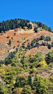
 © Fabrizi MellanoUtworzono dnia 12.10.2025
 -
 © Fabrizi MellanoUtworzono dnia 12.10.2025
 -
 © Fabrizi MellanoUtworzono dnia 12.10.2025
 -
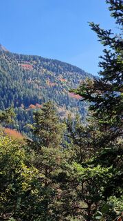 © Fabrizi MellanoUtworzono dnia 12.10.2025
 -
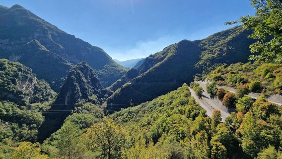 © Fabrizi MellanoUtworzono dnia 12.10.2025
 -
 © Fabrizi MellanoUtworzono dnia 12.10.2025
 -
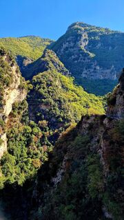
 © Fabrizi MellanoUtworzono dnia 12.10.2025
 -
 © Fabrizi MellanoUtworzono dnia 12.10.2025
 -
 © Fabrizi MellanoUtworzono dnia 12.10.2025


At the top of the Col de Braus is a stele in memory of former Côte d'Azur cycling champion René Vietto. For the record, this pass has seen the Tour de France pass 27 times.
On the ascent from Sospel to...
At the top of the Col de Braus is a stele in memory of former Côte d'Azur cycling champion René Vietto. For the record, this pass has seen the Tour de France pass 27 times.
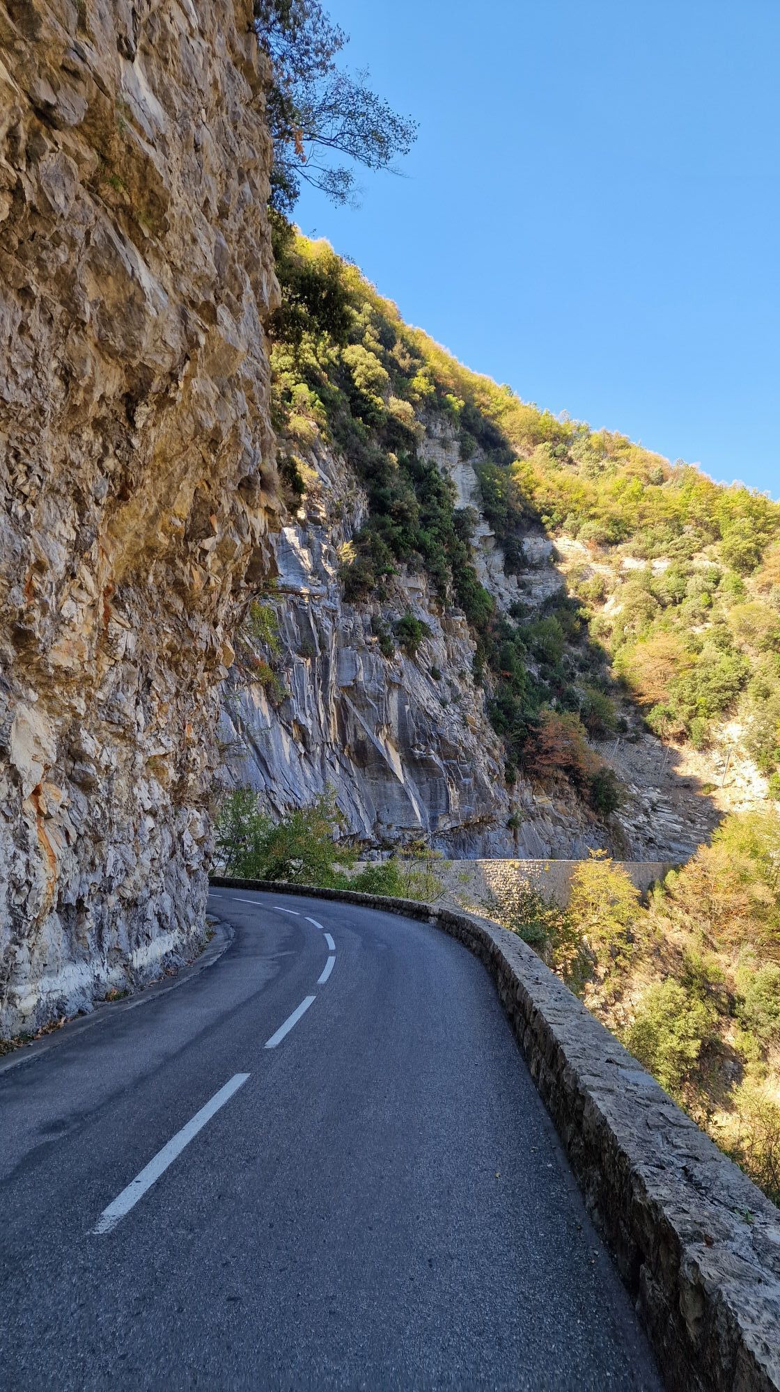
On the ascent from Sospel to the Col de Turini, located on a very steep spur, the chapel of Notre-Dame de la Mémour dominates the road to the Gorges du Piaon. The sanctuary can only be reached via a ramp that begins at a bridge over the road.
All the outdoor activities in the Nice Côte d'Azur region can be found at https://outdoor.nicecotedazur.org

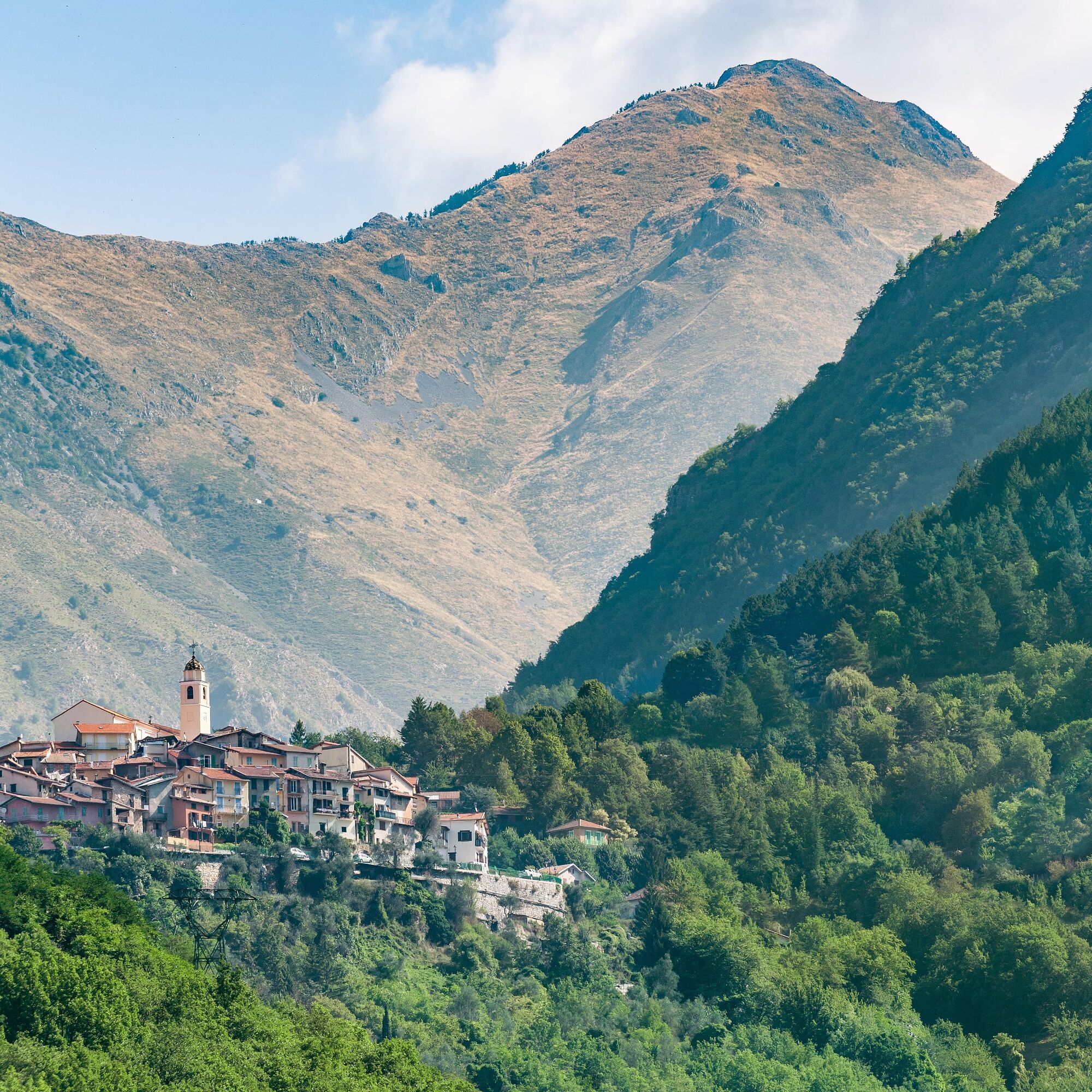
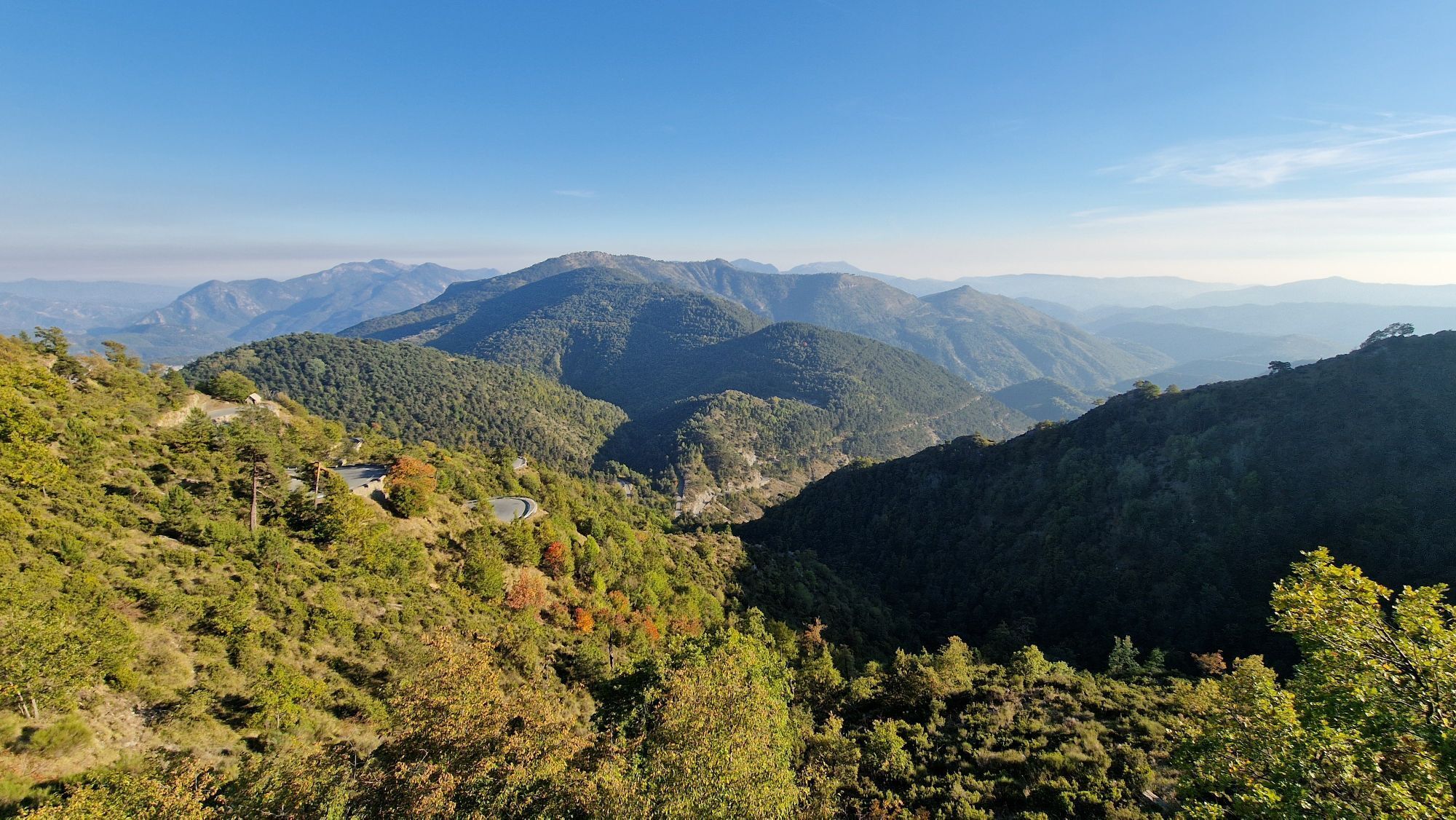
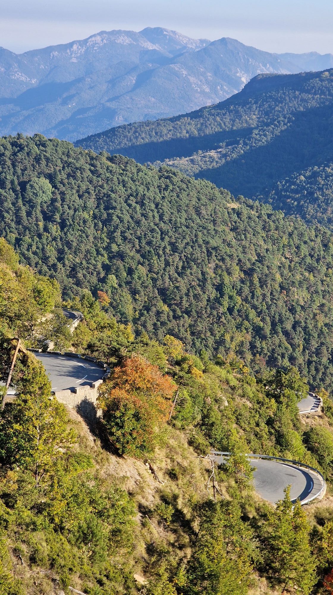
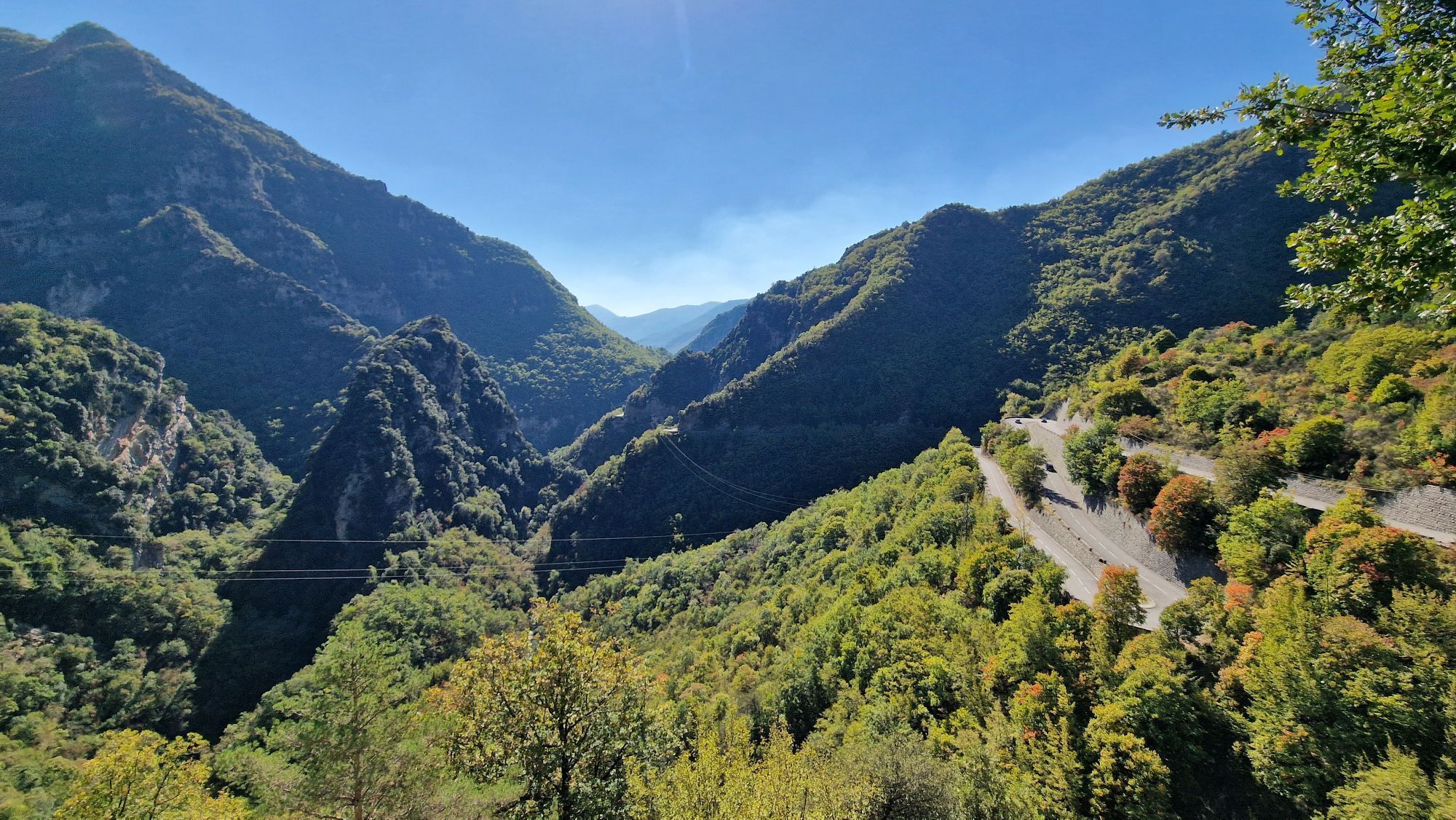
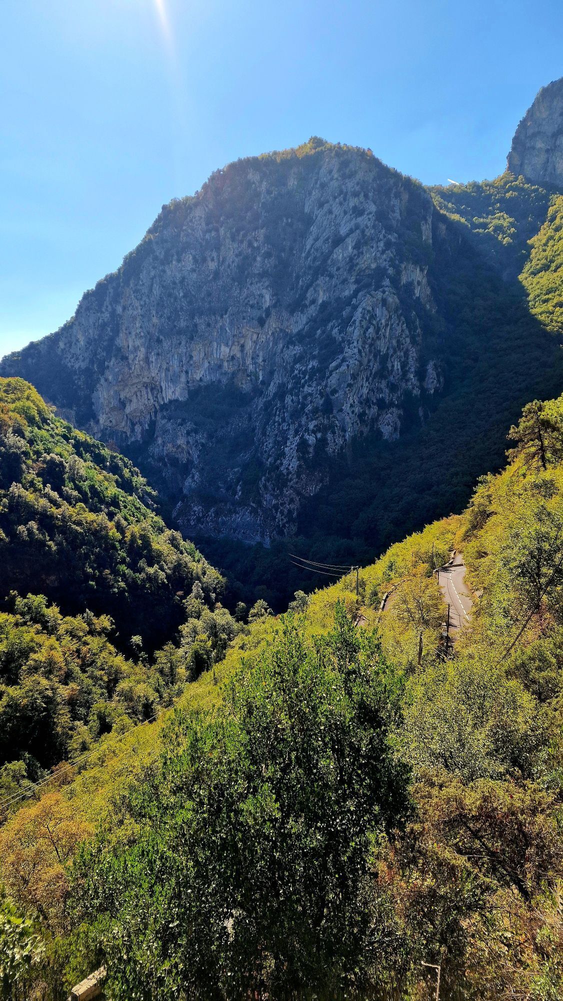
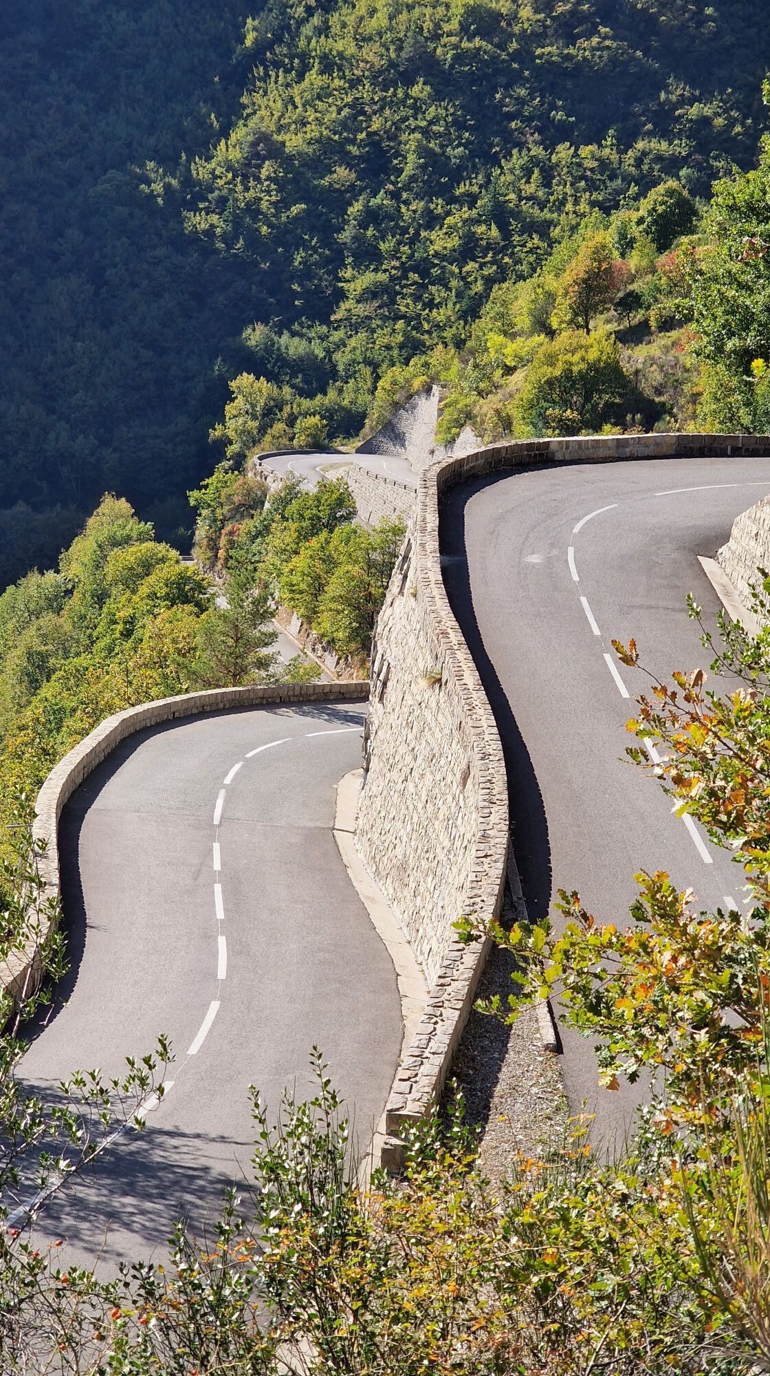
The route starts from the square on Avenue Philippe Corniglion (RM 69) heading towards Nice. Once you have crossed the bridge over the Vésubie river, at the junction with the M2565 (Km 1.6) turn right towards Lantosque on the RM 2565. At Km 4.1 follow the RM 2565 to the left towards Loda, the road passes under the village of Lantosque. At the junction with the RM 73, take this road towards Loda. From here the Col de la Porte begins, over 13 km long with a short descent after Loda before tackling the real difficulty with slopes of 10% without stopping for 7 km. After the Col de la Porte (1057m), on a flat area, you reach the Col Saint-Roch and the junction with Peira-Cava by taking the RD 2566. At km 26.1, the route reaches the Baisse de la Cabanette after a number of 12% gradients. At this junction, turn right onto the RD 21 towards Lucéram. On the descent to the Pas de l'Escous, at Km 31.2 turn left onto the RD54 towards Sospel- Col de Braus. This road, in the middle of a larch forest, passes over the Col de l'Orme and the Col de l'Ablé without difficulty. From here, a gentle descent leads to the summit of the Col de Braus. The route follows the RD2204 towards Sospel, the start of the ascent to the Col de Turini: RD 2256 (towards Moulinet). The pass is 24 km long, and the first part as far as Moulinet is considered easy and rolling. On leaving the village, along the Bévéra in the shade of the larches, the gradient rises a little more, and the last 12 km are no more difficult, with regular gradients of 7 and 8%. The hairpin bends on the way up are particularly enjoyable. At the top of the Col de Turini (1604 m), head back down towards La Bollène Vésubie on the RM 70. When you reach the Vésubie valley, turn right onto the RM 2565 to return to the starting point at Roquebillière.
Tak
Tak
-Wear an approved helmet
-Check the condition of your tyres
-Take a repair kit with you in case of a puncture
-Prefer at least one flashing LED light to be fixed to the seatpost so that you can be seen by other motorists.
- Don't overestimate your abilities
-Find out about mountain weather conditions before you set off
-Remember to carry identification and a number to call in case of danger
-Respect the environment and other road users
Nice is served by the A8 "La Provençale" motorway, coming from Aix-en-Provence to the west and from the border to the east.
To reach the starting point, take :
Exit 52: Saint-Isidore
Take the RM 6202 towards Digne
After Plan-du-Var
Take the M2565 - Vallée de la Vésubie (55 km / 1h10) ( http://www.vesubian.com/roquebilliere/OT-ROQUEBILLIERE/acces_roquebilliere.html )
Pitches in the village centre
To find out more about our destination, visit the Tourist Office website
Cycle circuit for experienced cyclists - FFC colour: Black
Popularne wycieczki w okolicy
-
FFC MTB Circuit No. 4b: Le Turini
średniMountainbike 32,0 km -
VTT FFC route no. 2: The Férisson dairy farm
ciężkiMountainbike 28,0 km -
Kurzweg Abend.
światłoWędrówka 1,22 km -
Utelle - Roquebillière / Pagarine route (stage 4)
średniWędrówka 20,0 km -
5,0
FFC cycling route no. 32: La boucle des 2 vallées depuis St.Sauveur/Tinée
ciężkiDroga rowerowa 117,8 km -
Mountain bike circuit FFC no. 21a: Les granges de la Brasque
ciężkiMountainbike 41,2 km -
Route n°1 - 2 days - Stage 2 Isola Village - Nice
ciężkiDroga rowerowa 139,4 km -
5,0
Goldtoni - Alpenbogen A103 Sospel-Refuge des Merveilles
średnidługodystansowy szlak pieszy 33,5 km -
5,0
Goldtoni - Alpenbogen A102 Monaco-Sospel
światłodługodystansowy szlak pieszy 29,7 km -
FFC cycling route n°22: The tour of the middle Nice countryside
ciężkiDroga rowerowa 91,4 km

Wędrówki i tropienie


Nie przegap ofert i inspiracji na następne wakacje
Twój adres e-mail została dodana do listy mailingowej.