


FFC Mountain Bike circuit no. 40: The ridges of Blainon
Poziom trudności: S3
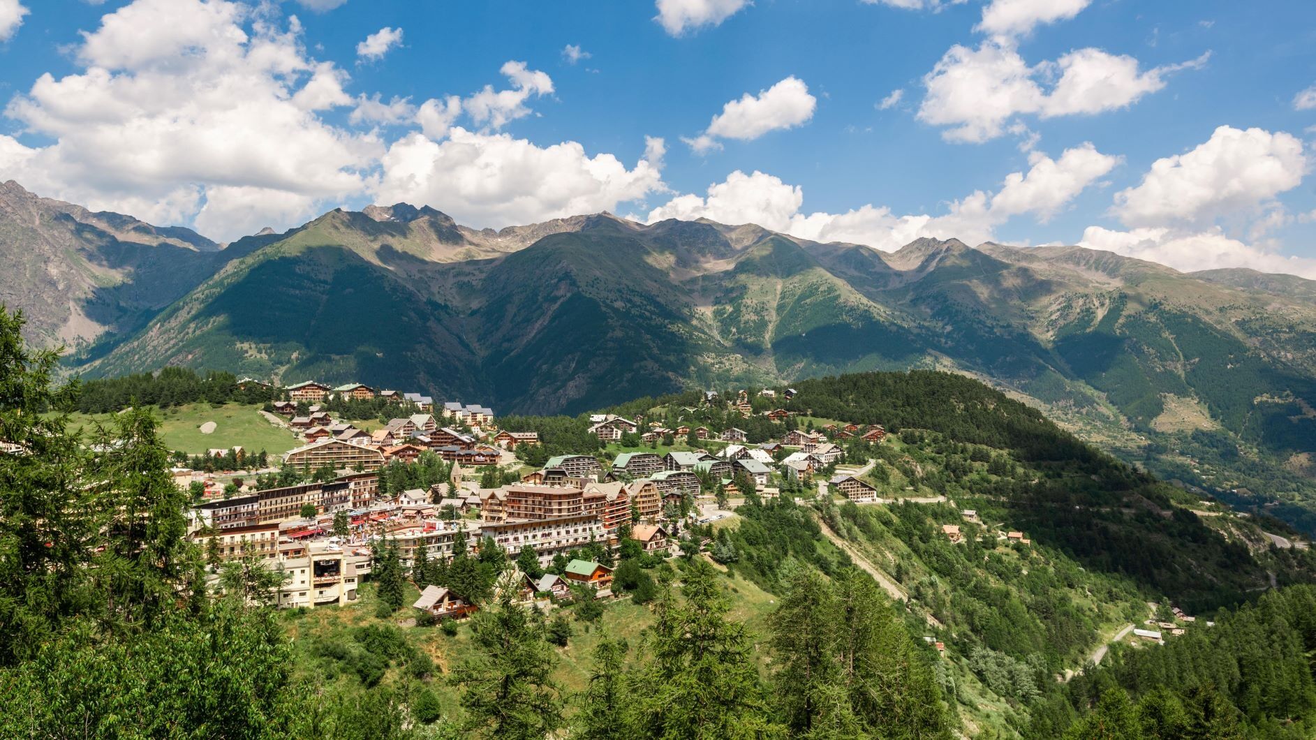
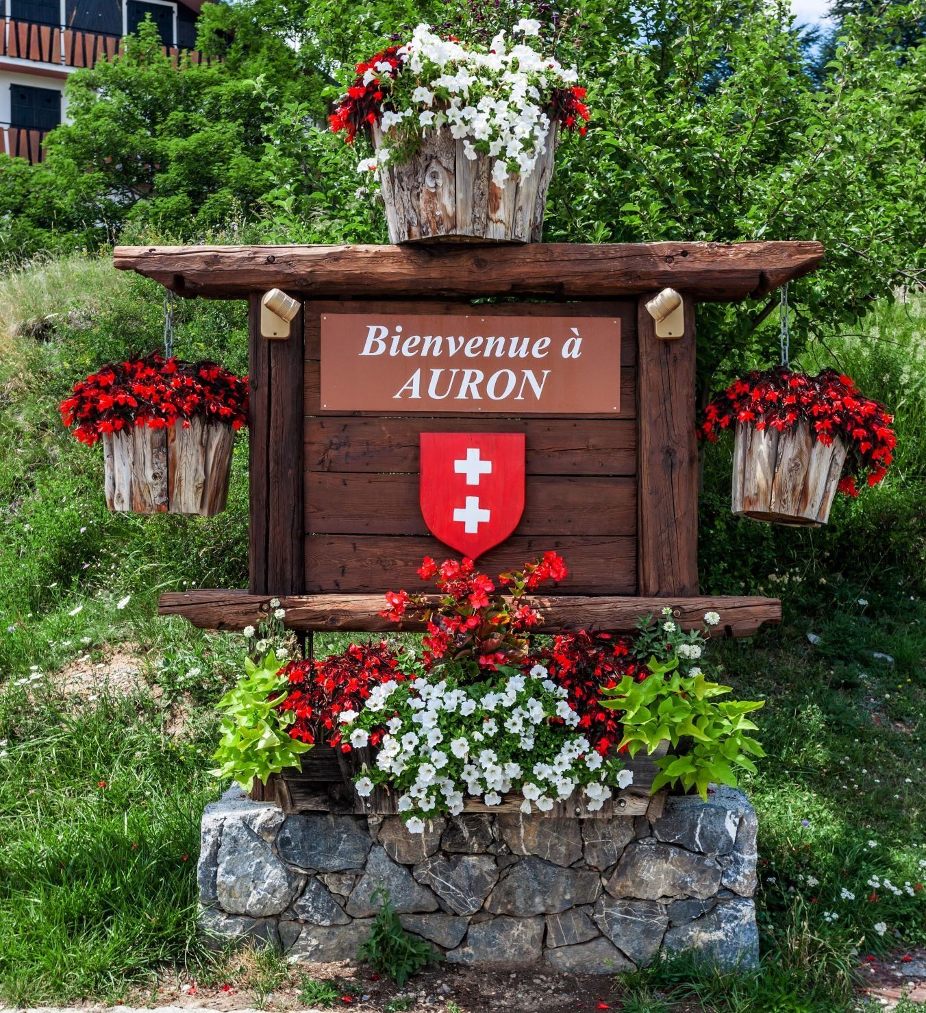
Au départ de la salle Rovery à Auron, ce circuit difficile sur les hauteurs de la station est accessible en famille et offre de beaux panoramas sur les sommets environnants.
L'itinéraire emprunte la piste...
L'itinéraire emprunte la piste du Riou puis le GR 5 jusqu'au parking de Chastellares, avant de s'élever sur le domaine skiable vers la baisse du Colombier par la Traversée 2000. Le parcours rejoint ensuite le col du Blainon (2 104 m) avant de redescendre vers la station par la piste bleue du bike park.
Toutes les activités outdoor de la Métropole Nice Côte d'Azur sont sur https://outdoor.nicecotedazur.org
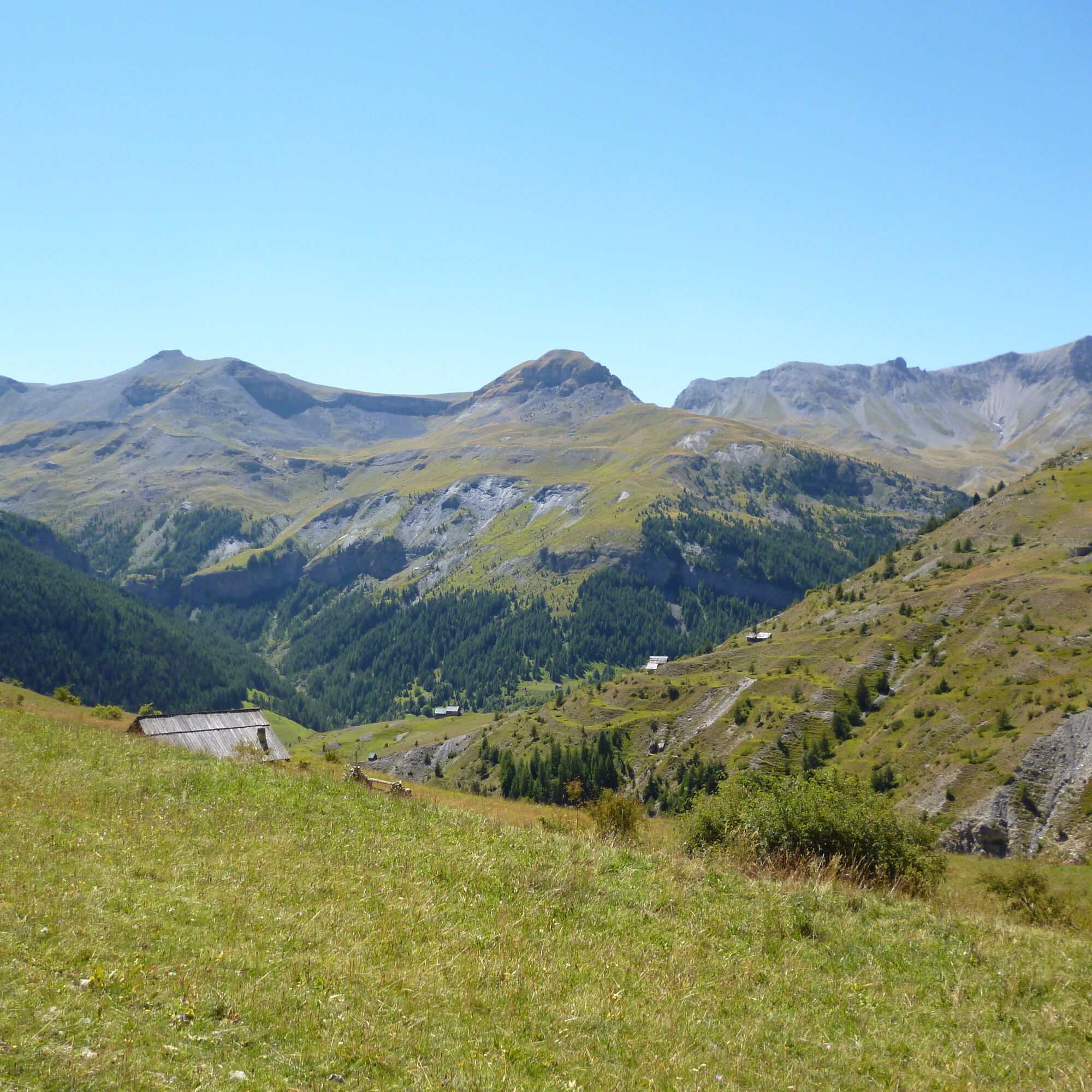
The start is from Salle Rovery. From the Riou trail, take the GR®5 to the Chastellares parking. Climb up the ski area by the trail below the hillside reservoir then join the Baisse du Colombier via Traversée 2000. From there, head towards the Col du Blainon and return to the resort via the blue trail of the bike park.
Tak
Tak
Tak
Wear a helmet, bring protective gear and repair accessories.
Watch the weather: Mountain weather changes quickly, bring warm clothes.
Follow marked trails, do not take shortcuts and respect the direction of the routes.
Before starting a route, make sure it suits your level, check the condition of your mountain bike and leave your route details with someone.
Be careful, courteous and slow down when overtaking other users.
Be extra attentive during hunting season and find out about ongoing hunts.
If you encounter livestock protection dogs (= patous), get off your bike, avoid sudden movements and go around the herd.
Respect private property, cultivated areas and close gates after passing through.
Adopt eco-friendly behavior: carry out your trash and respect wildlife and plants to preserve nature.
Always remember to carry the IGN map corresponding to the route in question.
The Lignes d’azur network offers a single fare across the entire Métropole Nice Côte d’Azur. Validation is mandatory every time you board the bus regardless of the ticket used. To view all fares, click here: www.lignesdazur.com
Free parking at Salle Rovery
S3
Popularne wycieczki w okolicy
-
5,0
eBike MNCA stage 2: St-Dalmas-Le-Selvage - St-Etienne-de-Tinée
średniMountainbike 43,2 km -
4,0
Goldtoni - Alpenbogen A078 Bousiéyas-Roya
średnidługodystansowy szlak pieszy 31,3 km -
FFC cycling circuit no. 33: the Tinée cycle path
światłoDroga rowerowa 29,4 km -
Mountain Bike FFC circuit no. 37: Col d'Anelle
ciężkiMountainbike 11,2 km -
5,0
Goldtoni - Alpenbogen A079 Roya-Saint Sauveur sur Tinée
średnidługodystansowy szlak pieszy 38,6 km -
Discovering the Natura 2000 site "Bat site of the Haute-Tinée" - starting from St Etienne de Tinée (sporting level)
średniWędrówka 7,43 km -
VTT FFC circuit no. 57: the Demandols cow barn / Bercha
średniMountainbike 22,5 km -
Snowshoe trekking La cabane de la Braisse
ciężkiRakieta do chodzenia po śniegu 10,9 km -
eBike MNCA stage 1: Auron - Saint-Dalmas-le-Selvage
średniMountainbike 29,8 km -
Snowshoe trekking Plateau D'Anelle
średniRakieta do chodzenia po śniegu 7,51 km
Wędrówki i tropienie


Nie przegap ofert i inspiracji na następne wakacje
Twój adres e-mail została dodana do listy mailingowej.