







FFC MTB circuit no. 6: The collet des Sausses
All outdoor activities in the Nice Côte d'Azur Metropolis are on https://outdoor.nicecotedazur.org

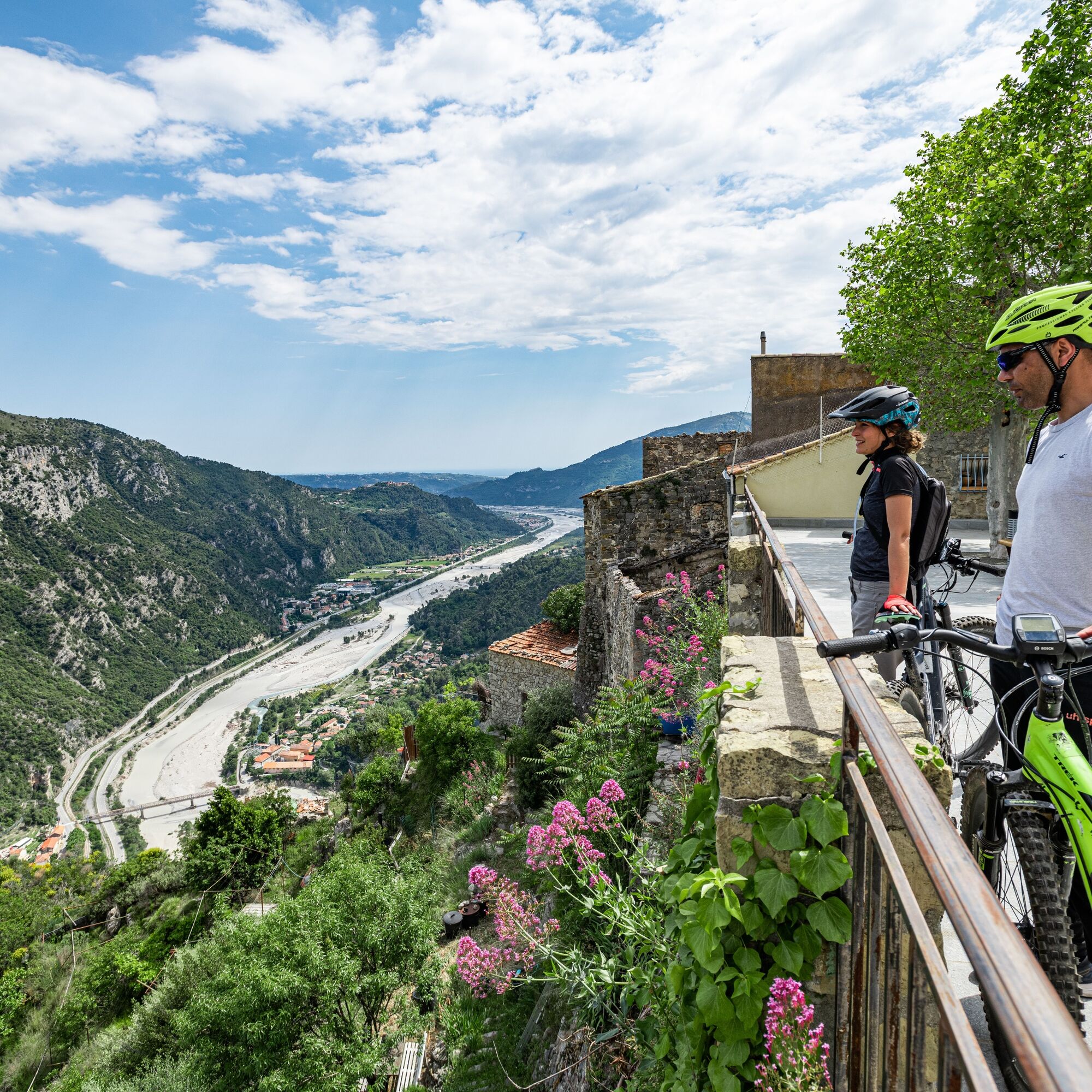
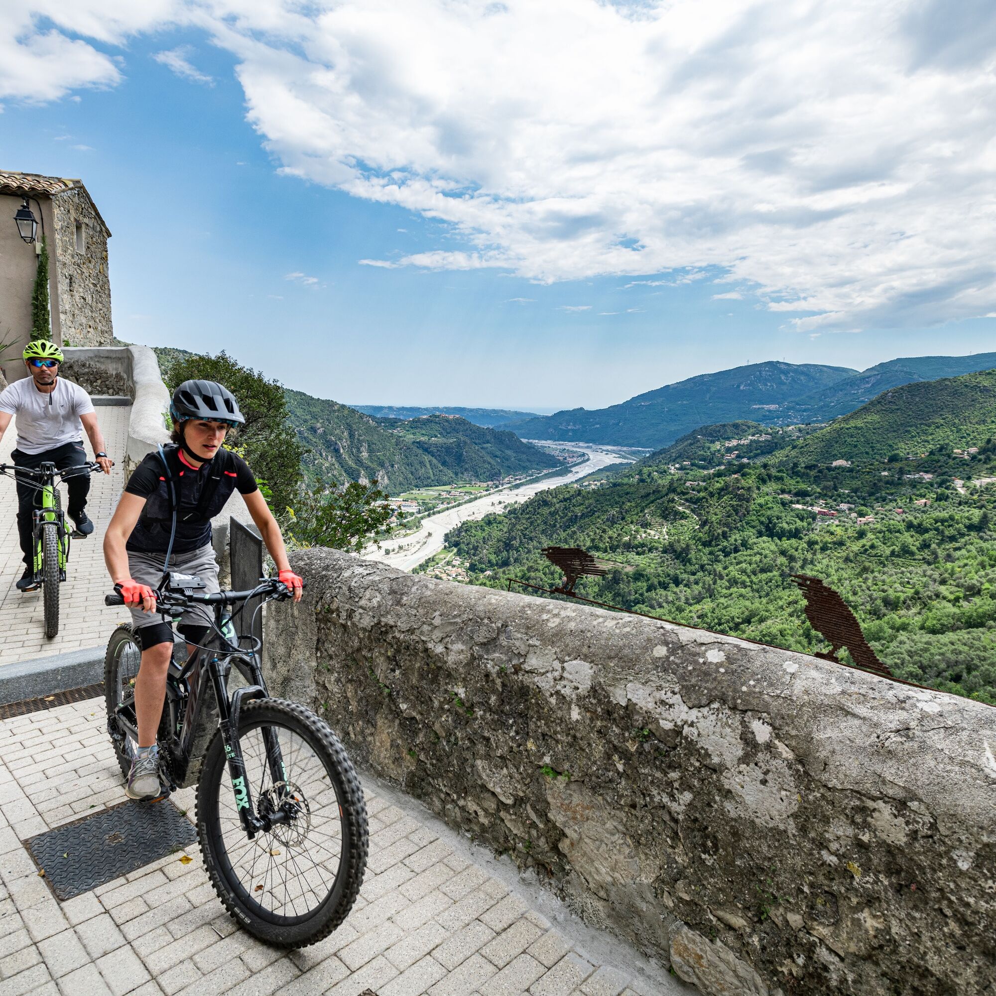

From the parking lot, head towards the Combes district to the north of the village.
At this point, take a path on the right up to the dip of the collet de Saint-André. From here, take the path to the left and follow the GR® towards the collet des Sausses. Continue on the M 27 road up to the col de Rostan. The return is via a small path that winds along the hillside.
Wear a helmet, bring protective gear and repair accessories.
Watch the weather: Mountain weather changes quickly, bring warm clothes.
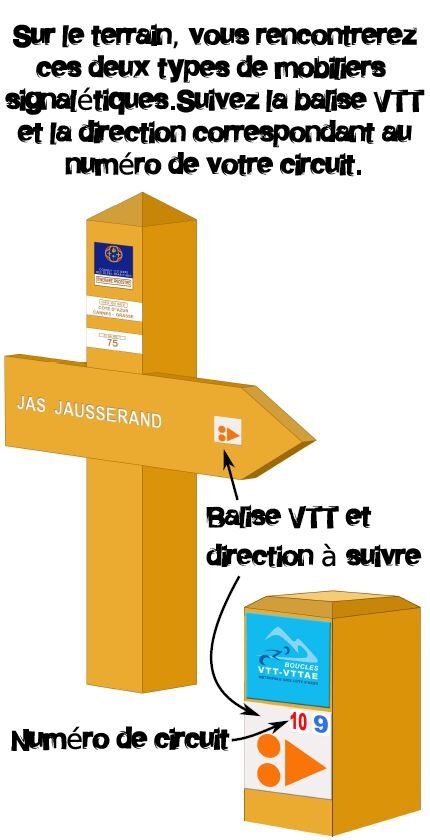
Follow the marked trails, do not take shortcuts and respect the direction of the routes.
Before starting on a route, check that it suits your level, check the condition of your mountain bike and leave your itinerary with someone.
Be cautious, courteous and slow down when overtaking other users.
Be extra careful during hunting season and inform yourself about ongoing hunting drives.
If you meet livestock guardian dogs (= patous), dismount, avoid sudden movements and go around the herd.
Respect private property, cultivated areas, and close gates after passing.
Adopt an eco-citizen attitude: take your rubbish with you and respect wildlife and plants to preserve nature.
Always make sure to carry the IGN map corresponding to the route concerned.
Located about thirty minutes from Nice, go up to Bonson via the M6202bis, along the Var (on the right bank)
The Lignes d’azur network offers a single fare throughout the Nice Côte d’Azur Metropolis. Validation is mandatory each time you board the bus regardless of the ticket used. To view all fares, click here: www.lignesdazur.com
Parking next to the sports ground
Popularne wycieczki w okolicy
-
Grande Randonnée® de Pays: Lou Camin Nissart
ciężkidługodystansowy szlak pieszy 44,7 km -
5,0
FFC cycling circuit No. 32: The loop of the 2 valleys from St. Sauveur/Tinée
ciężkiDroga rowerowa 117,8 km -
4,0
Little hike in Aspremont: Mont Chauve circuit
światłoWędrówka 6,49 km -
FFC bike circuit no. 5: on the Tour De France routes (big loop)
średniDroga rowerowa 74,2 km -
FFC bike circuit no. 8: the 70.3 circuit (Half IRONMAN)
średniDroga rowerowa 92,8 km -
A short walk in Saint-Jeannet : Les Baous de la Gaude and St-Jeannet
średniWędrówka 12,2 km -
FFC MTB route no. 25: The summit of Broc
średniMountainbike 18,9 km -
The "Route des Paysages" between the coast and the middle country of Nice
światłoMotorrad 147,7 km -
VTT FFC circuit no. 7 - The Olive Trees Loop
światłoMountainbike 8,09 km -
Utelle - Roquebillière / Pagarine route (stage 4)
średniWędrówka 20,0 km
Wędrówki i tropienie


Nie przegap ofert i inspiracji na następne wakacje
Twój adres e-mail została dodana do listy mailingowej.





