Mountain bike route no. 24 - Between Sainte-Tulle and Corbières
średni
Nawigacja
Nawigacja
Pobierz tę trasę na swój telefon komórkowy
Mountain bike route no. 24 - Between Sainte-Tulle and Corbières
średni
Mountainbike
15,26
km
Zeskanuj kod QR i rozpocznij nawigację w aplikacji bergfex.

Wędrówki i tropienie


Mountain bike route no. 24 - Between Sainte-Tulle and Corbières
średni
Odległość
15,26
km
Czas trwania
02:00
h
Ascent
329
hm
Poziom morza
278 -
517
m
Ścieżka do pobrania
Mountain bike route no. 24 - Between Sainte-Tulle and Corbières
średni
Mountainbike
15,26
km
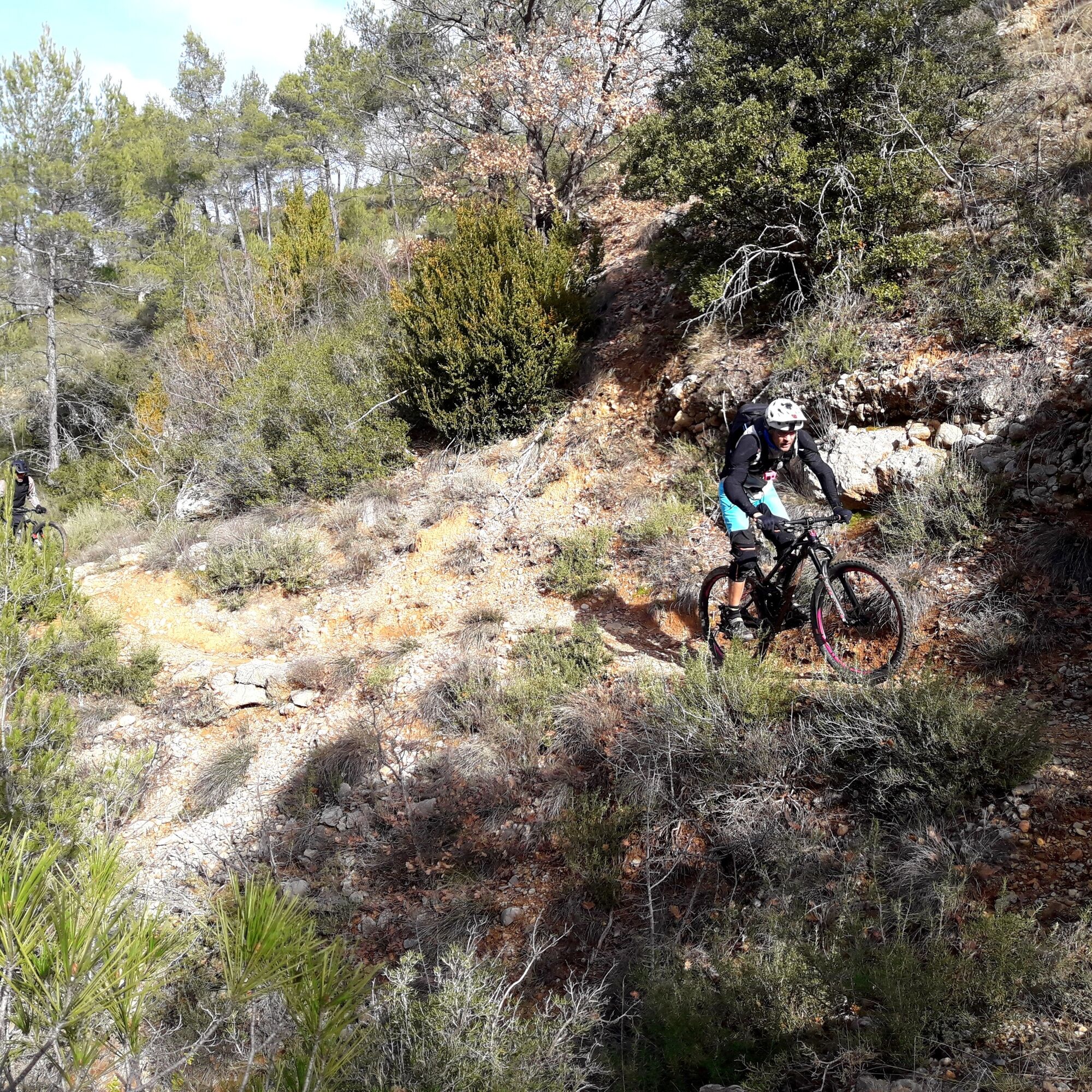
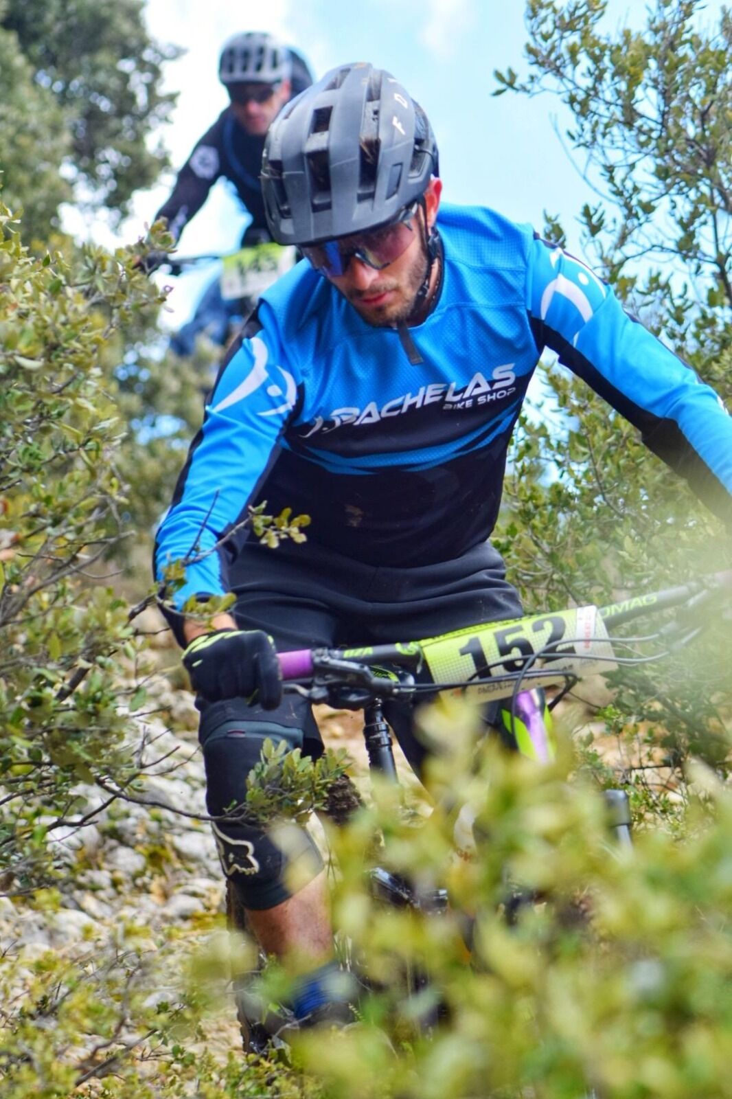
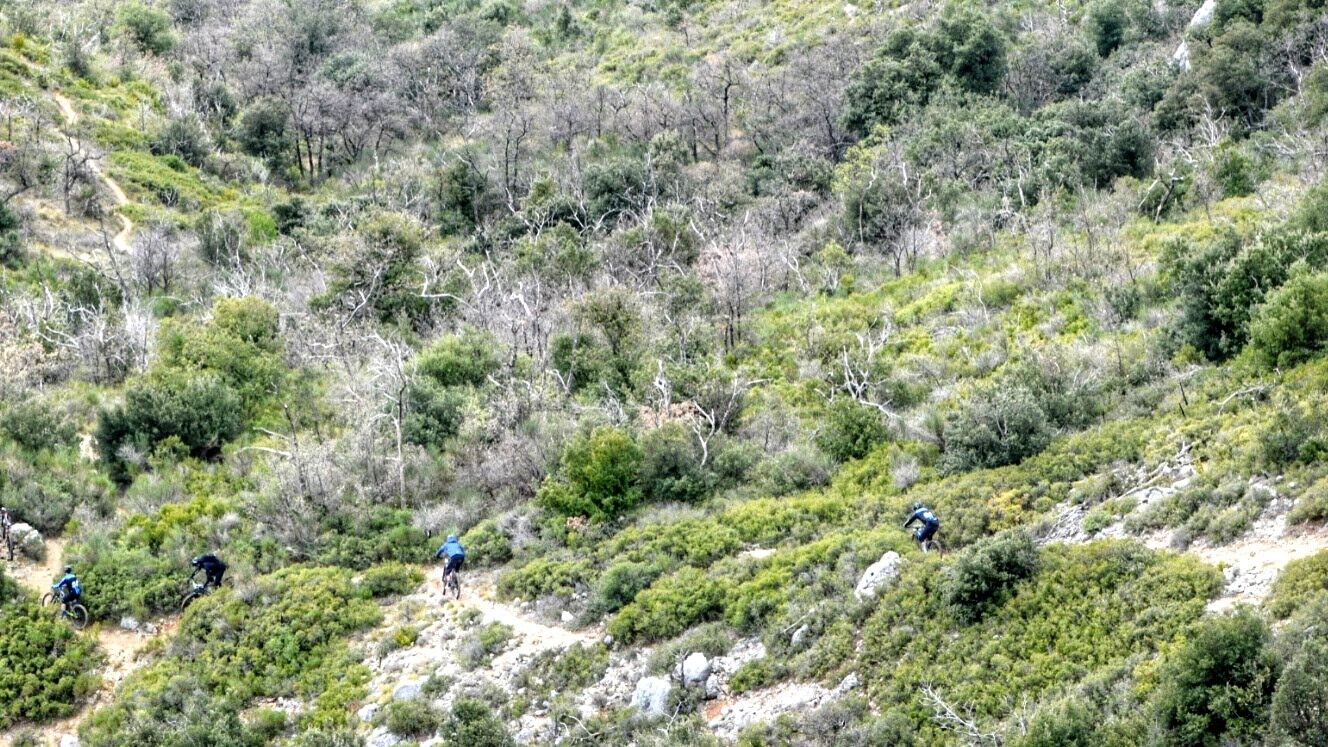
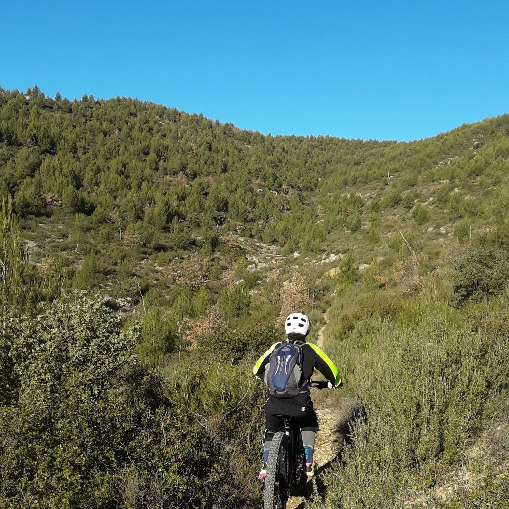
An easy start to the pretty little village of Corbières, ideal for warming up before the first tough climb on a track.
Then, three very beautiful single-track descents through undergrowth and scrubland,...
Opis
An easy start to the pretty little village of Corbières, ideal for warming up before the first tough climb on a track.
Then, three very beautiful single-track descents through undergrowth and scrubland, interspersed with a demanding climb on a track and a long ascent on a magical single track.
Then, three very beautiful single-track descents through undergrowth and scrubland, interspersed with a demanding climb on a track and a long ascent on a magical single track.
Trasa
Parc Max Trouche
(295 m)
Korytarz/teren
0,1 km
Sainte-Tulle
(303 m)
Wioska
0,2 km
Repentence
(306 m)
Korytarz/teren
2,1 km
Corbières-en-Provence
(304 m)
Wioska
3,6 km
Église Saint-Sébastien
(299 m)
Miejsce kultu
3,7 km
Le Carpe Diem
(299 m)
Restauracja
3,7 km
Sainte-Tulle
(303 m)
Wioska
15,2 km
Trasa
Mountain bike route no. 24 - Between Sainte-Tulle and Corbières
średni
Mountainbike
15,26
km
Parc Max Trouche
(295 m)
Korytarz/teren
0,1 km
Sainte-Tulle
(303 m)
Wioska
0,2 km
Repentence
(306 m)
Korytarz/teren
2,1 km
Corbières-en-Provence
(304 m)
Wioska
3,6 km
Église Saint-Sébastien
(299 m)
Miejsce kultu
3,7 km
Le Carpe Diem
(299 m)
Restauracja
3,7 km
Sainte-Tulle
(303 m)
Wioska
15,2 km
Autor
Dostarczone przez Office de Tourisme et des Congrès du Pays de Manosque
Wycieczkę Mountain bike route no. 24 - Between Sainte-Tulle and Corbières zapewnia outdooractive.com.

Instrukcje bezpieczeństwa
In case of emergency, call 112
Informacje o przyjeździe
Przybycie
Consider carpooling
Parking
Parking near the starting point
Dodatkowe informacje i wskazówki
Dodatkowe informacje
APIDAE Tourism data updated on 02/11/2021 by "Office de Tourisme Communautaire Durance Luberon Verdon Agglomération".
An error on this record? Write to the owner with these references:
Record name: Mountain bike route no. 24 - Between Sainte-Tulle and Corbières | Record ID: 5650183 | URL (link) of this Outdooractive page.
An error on this record? Write to the owner with these references:
Record name: Mountain bike route no. 24 - Between Sainte-Tulle and Corbières | Record ID: 5650183 | URL (link) of this Outdooractive page.
Nie ma jeszcze recenzji
Popularne wycieczki w okolicy
-
Itinéraire pédestre "Sentier des Vignerons"
średniWędrówka 5,48 km -
Hiking route "Fitness Trail"
światłoWędrówka 3,25 km -
MANOSQUE - Les chemins de Pélicier
światłoWędrówka 10,4 km -
The Mediterranean by bike n°2 : Apt - Manosque
ciężkiJazda na rowerze 83,1 km -
Itinéraire pédestre "Les chemins de Bellevue"
światłoWędrówka 1,62 km -
Itinéraire pédestre "Tour de la Garde"
ciężkiWędrówka 8,82 km -
MONTFURON - La géologie, l'homme et la Terre
światłoWędrówka 5,07 km -
MTB trail no. 8 - Grand Tour of the Manosque Hills on mountain bike
ciężkiMountainbike 53,0 km -
MANOSQUE - En forêt Domaniale de Pélicier
średniWędrówka 10,3 km -
Hiking route "Les Maurras"
światłoWędrówka 12,0 km
Wędrówki i tropienie

Ponad 550.000 propozycji wycieczek, szczegółowe mapy i intuicyjny planer tras sprawiają, że aplikacja jest niezbędna dla wszystkich entuzjastów przyrody.

Nie przegap ofert i inspiracji na następne wakacje
Zapisz się do newslettera
Błąd
Wystąpił błąd. Spróbuj ponownie.
Dziękujemy za rejestrację
Twój adres e-mail została dodana do listy mailingowej.
Wycieczki po całej Europie
Austria
Szwajcaria
Niemcy
Włochy
Słowenię
Francja
Holandia
Belgia
Polska
Liechtenstein
Czechy
Słowacja
Hiszpania
Chorwacja
Bośnia i Hercegowina
Luksemburg
Andorra
Portugalia
Islandia
Wielka Brytania
Irlandia
Grecja
Albania
Macedonia Północna
Malta
Norwegia
Czarnogóra
Mołdawia
Kosowo
Węgry
San Marino
Rumunia
Estonia
Łotwa
Białoruś
Cypr
Litwa
Serbia
Bułgaria
Monako
Dania
Szwecja
Finlandia