







eBike MNCA stage 7: Col de Turini - Nice
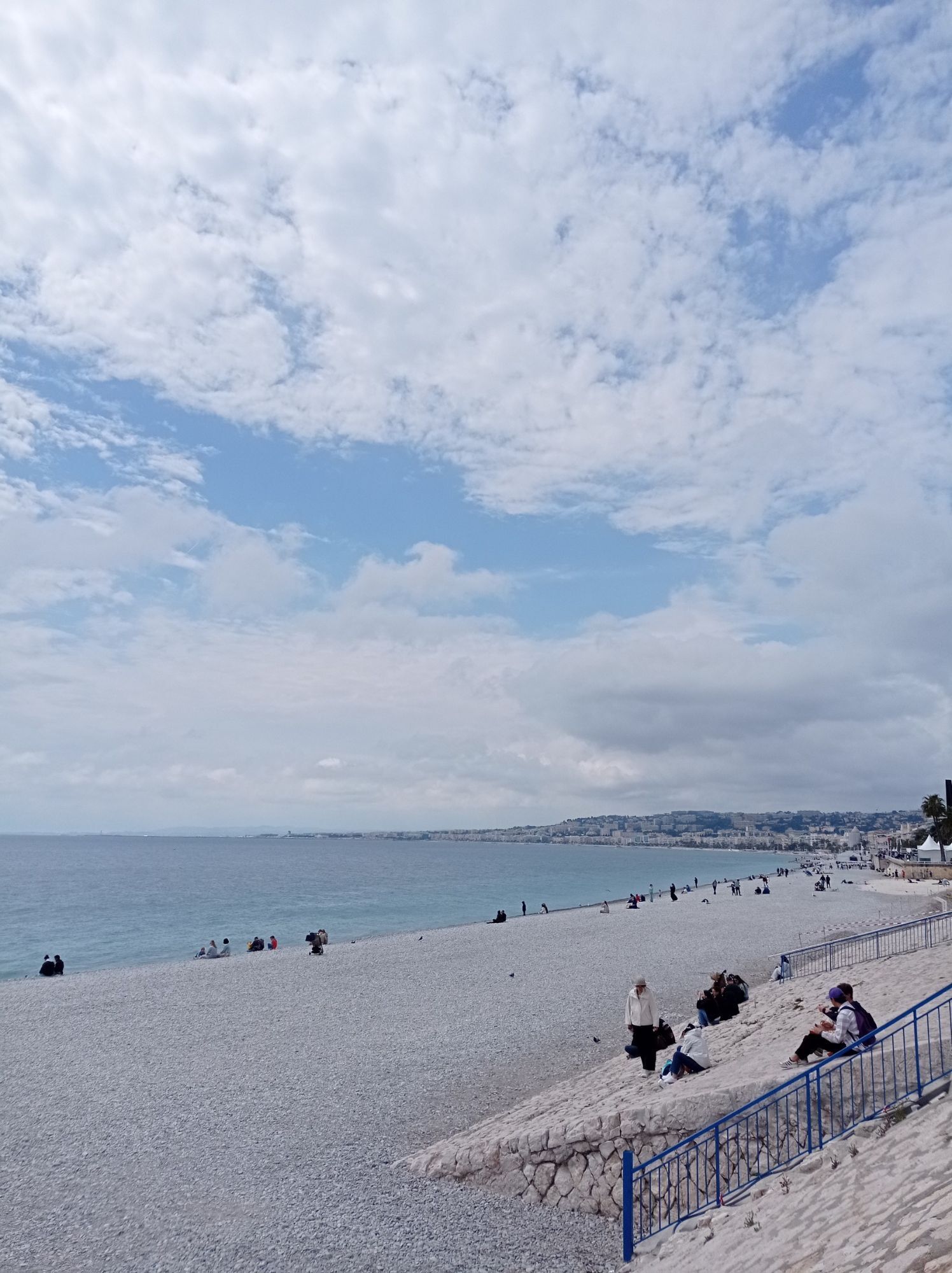
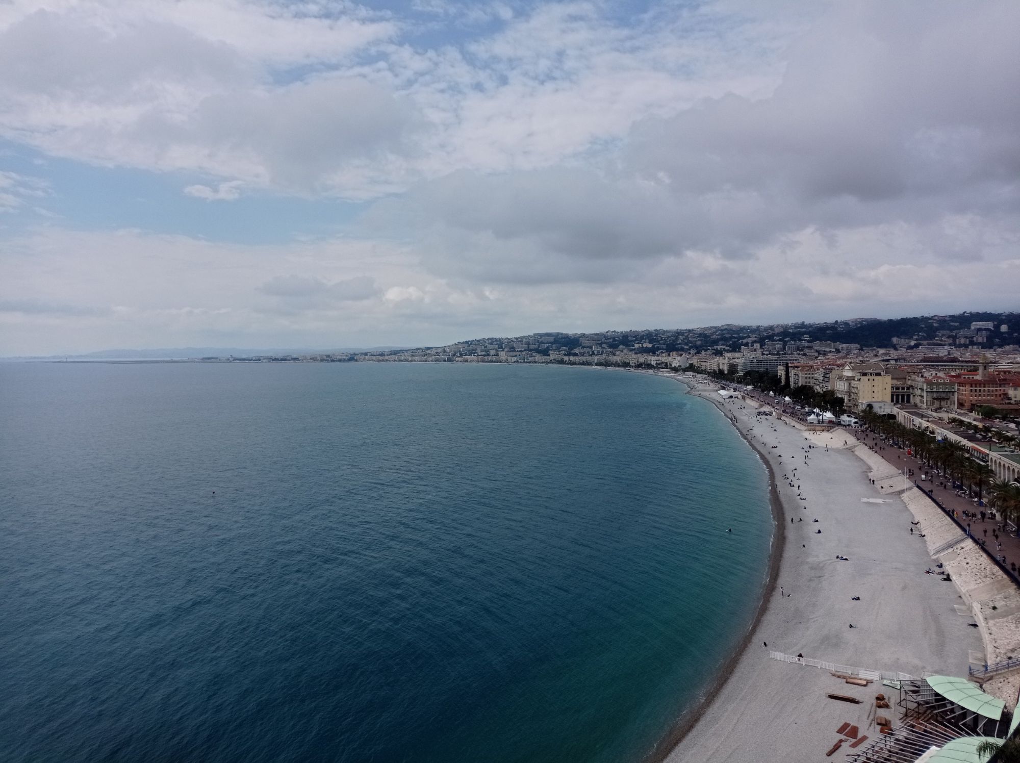
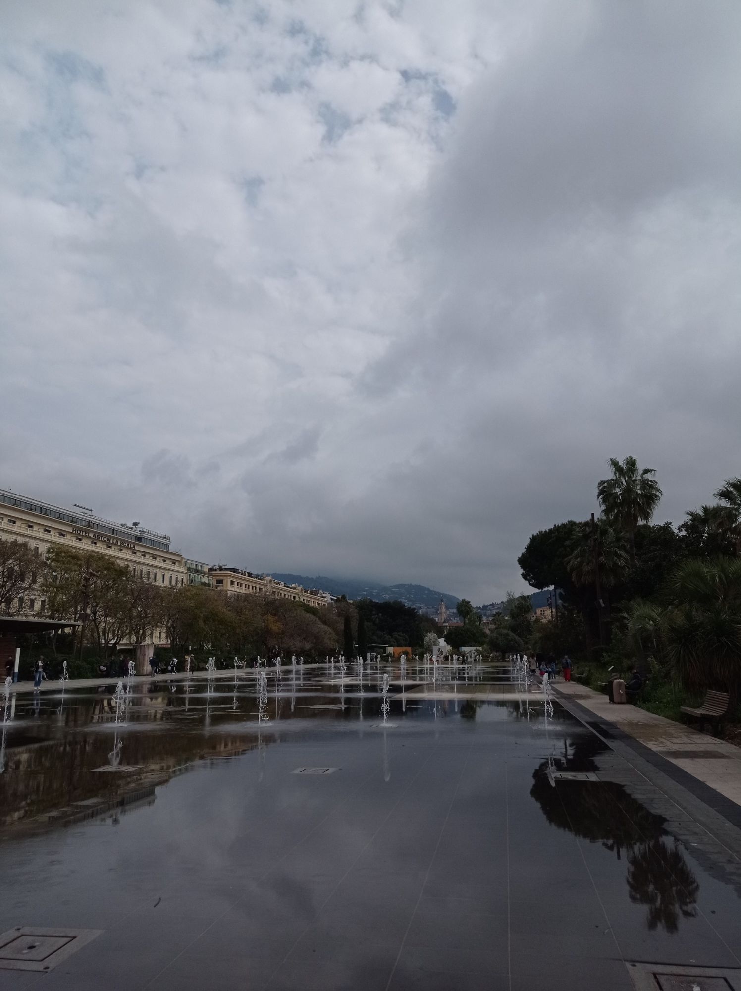
Last stage towards the heart of Nice, entering through the ancient Roman town of Cimiez (amphitheaters, baths). A small winding descent reaches the Carabacel district, a cultural area (Acropolis, museum,...
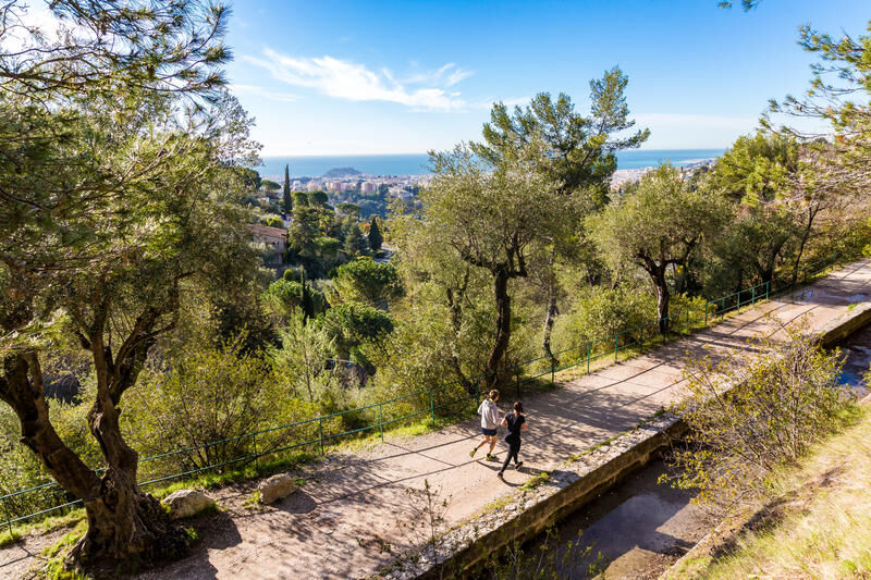
Last stage towards the heart of Nice, entering through the ancient Roman town of Cimiez (amphitheaters, baths). A small winding descent reaches the Carabacel district, a cultural area (Acropolis, museum, Tête Carrée). Along the bike path, on the left is Nissa Vielha, the historic centre dominated by the Casteu hill. You reach the sea and the Promenade des Anglais, a symbol of Nice’s tourist vocation for over two centuries. You go back up "the Prom" to Rauba Capéu, always with the old town on your left (a must-visit to soak up the colourful alleys and southern scents and taste socca, pissaladières, pan bagnat, or bagna cauda…)
All outdoor activities of the Métropole Nice Côte d'Azur are available on https://outdoor.nicecotedazur.org

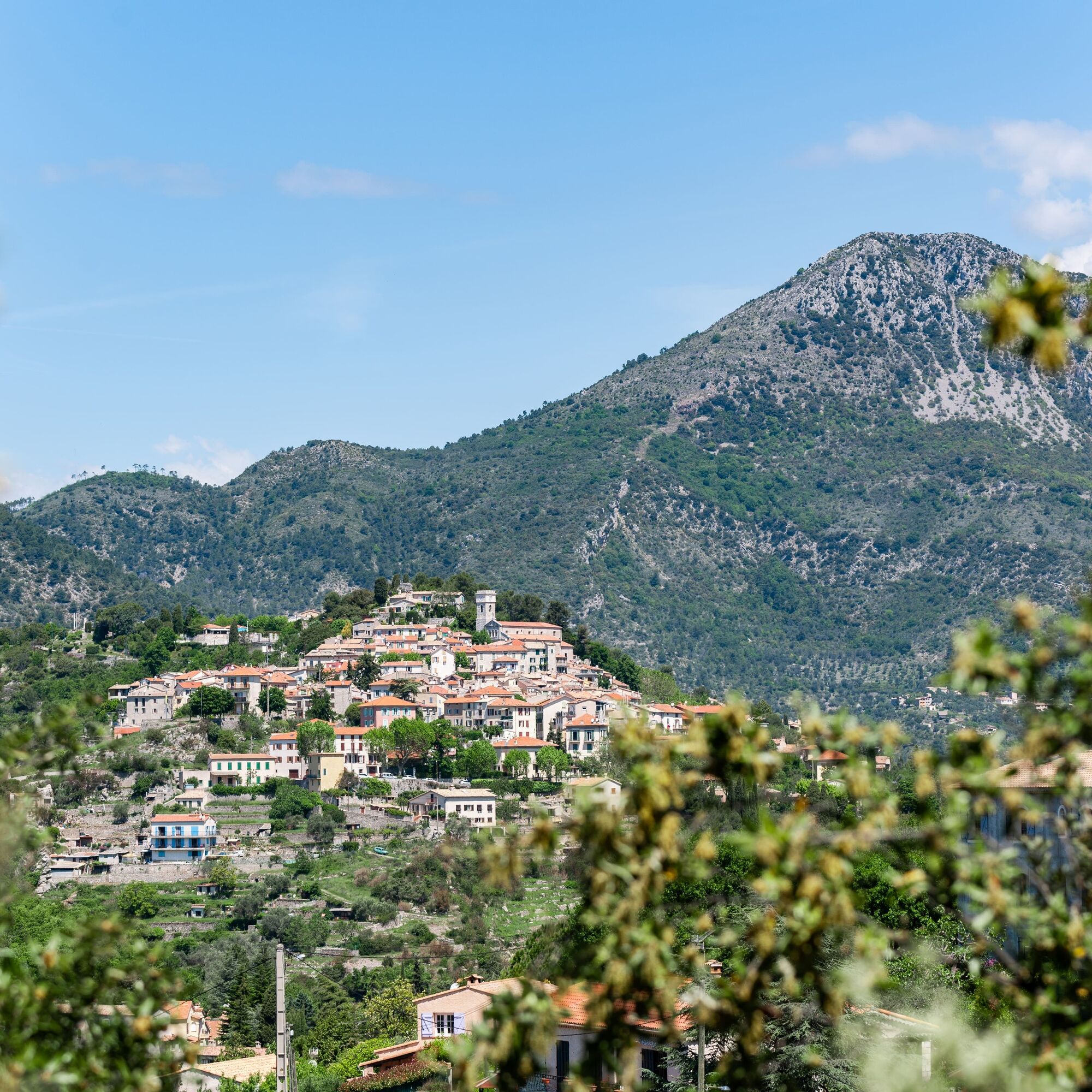

Aloura Tchao Baîeta (Goodbye and kisses)
Wear a helmet, bring protective gear and repair accessories.
Watch the weather: Mountain weather changes quickly; bring warm clothes.
The national park is a protected and regulated area: use only the trails authorized for mountain bikers.
Follow the marked trails, do not take shortcuts, and respect the route directions.
Before starting a route, check that it suits your level, inspect your MTB’s condition, and leave your route details with someone.
Be cautious, courteous, and slow down when overtaking other users.
Be extra careful during hunting seasons and inquire about current hunts.
If you encounter herd protection dogs (patous), dismount, avoid sudden movements, and go around the herd.
Respect private properties, cultivated areas, and close gates after passing through.
Behave eco-citizenly: take your waste back and respect the fauna and flora for preserved nature.
Ensure you always carry the IGN map corresponding to the concerned route.
The Lignes d’azur network offers a single tariff for the entire Métropole Nice Côte d’Azur. Validation is mandatory each time you board the bus regardless of the ticket used. To see all fares, click here: www.lignesdazur.com
Follow the corresponding MTB route markings: The circuit is marked with red "VTT FFC" arrows accompanied by an "e-bike Métropole Nice Côte d’Azur" logo.
Kamery internetowe z trasy
Uzyskaj wgląd
Zawsze na żywo z ponad 9 500 kamer internetowych. bergfex Jako użytkownik Pro, możesz teraz zobaczyć odpowiednie kamery internetowe dla wielu wycieczek w aplikacji wycieczki od. Pozwala to na bezpośredni podgląd aktualnych warunków.
Popularne wycieczki w okolicy
-
Nice - Aspremont / Pagarine Route (stage 1)
średniWędrówka 15,8 km -
5,0
FFC cycling circuit No. 32: The loop of the 2 valleys from St. Sauveur/Tinée
ciężkiDroga rowerowa 117,8 km -
4,0
Little hike in Aspremont: Mont Chauve circuit
światłoWędrówka 6,49 km -
Grande Randonnée® de Pays: Lou Camin Nissart
ciężkidługodystansowy szlak pieszy 44,7 km -
FFC bike circuit no. 5: on the Tour De France routes (big loop)
średniDroga rowerowa 74,2 km -
5,0
Goldtoni - Alpenbogen A102 Monaco-Sospel
światłodługodystansowy szlak pieszy 29,7 km -
A short walk in Saint-Jeannet : Les Baous de la Gaude and St-Jeannet
średniWędrówka 12,2 km -
The "Route des Paysages" between the coast and the middle country of Nice
światłoMotorrad 147,7 km -
FFC MTB route no. 25: The summit of Broc
średniMountainbike 18,9 km -
VTT FFC circuit no. 7 - The Olive Trees Loop
światłoMountainbike 8,09 km
Wędrówki i tropienie


Nie przegap ofert i inspiracji na następne wakacje
Twój adres e-mail została dodana do listy mailingowej.





