


From Stresa to Belgirate along the "Chestnut Path" with return boat ride
Poziom trudności: T1
From the Stresa pier, head toward the center, taking one of the pedestrian streets (Via Tomasi or Via Mazzini) that lead to Piazza Cadorna. From here, turn left onto Via De Vit, which leads to Via Manzoni...
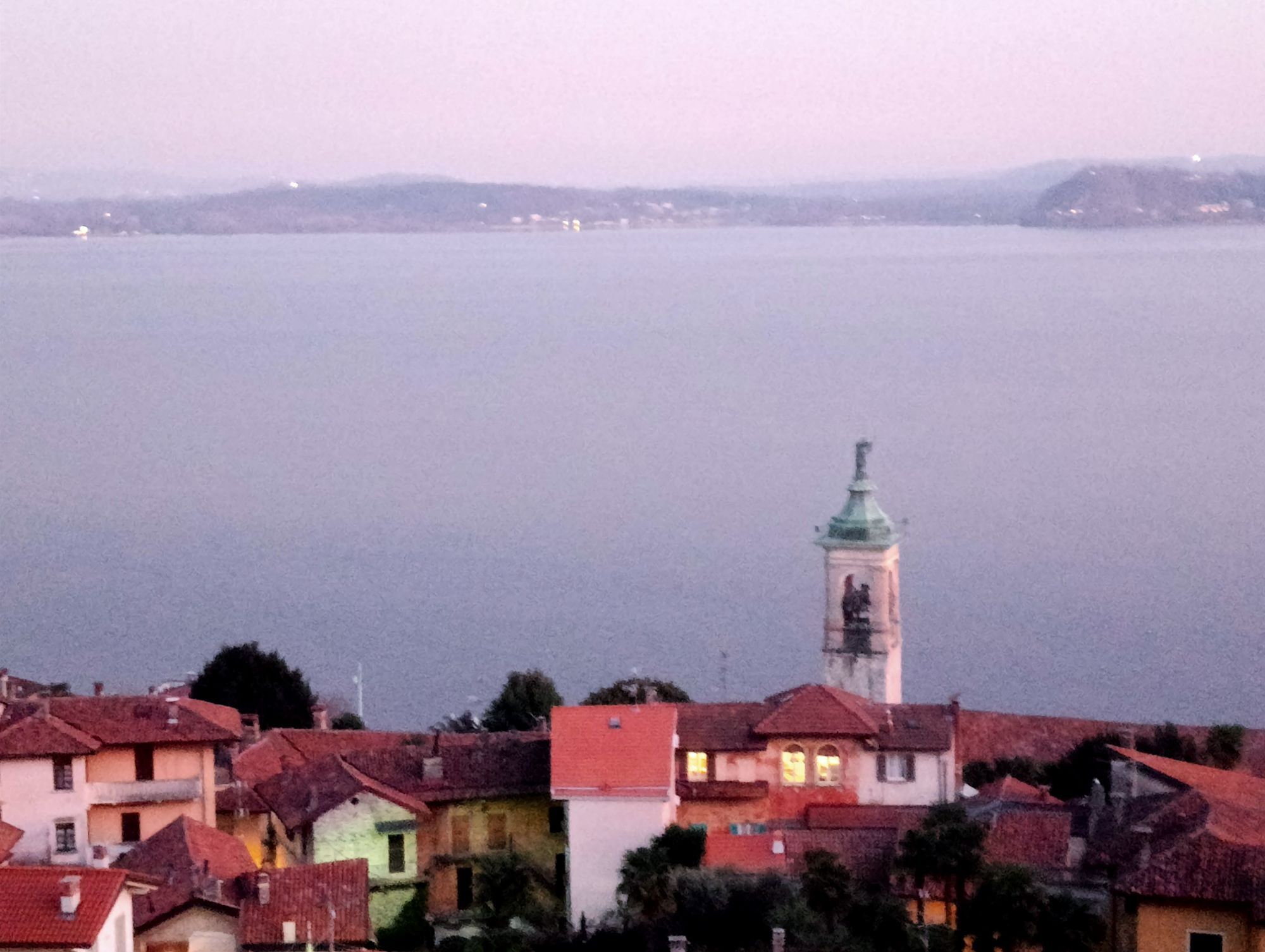
From the Stresa pier, head toward the center, taking one of the pedestrian streets (Via Tomasi or Via Mazzini) that lead to Piazza Cadorna. From here, turn left onto Via De Vit, which leads to Via Manzoni (signposted "Sentiero dei castagni" and "L2 Stresa-Belgirate"). Follow this road until you reach the monument dedicated to the friendship between the writer Alessandro Manzoni and the philosopher Antonio Rosmini. Rosmini and Manzoni met in 1826 and from then on, they frequented each other in Milan and, especially, in Stresa, where Rosmini lived, while Manzoni, starting in 1839, spent his summer holidays in nearby Lesa. This friendship lasted until the philosopher's death in 1855, and he is buried in the church of the college above. Continue uphill to the secondary gate of Pallavicino Park, used by the rubber-tyred train that departs from the landing stage and takes visitors into the park. Villa Pallavicino was built by Ruggero Borghi, a friend of Manzoni and Rosmini.Today, it belongs to the Pallavicino Marquises. Visitors can visit the large park managed by the Borromeo Administration, but the property also houses the C.R.A.S. (Wildlife Recovery Center), which cares for injured animals with the aim of reintroducing them into the wild. Some of them are kept away from visitors' curiosity so they don't adapt to human presence. If it is no longer possible to release them, they are housed in facilities open to the public for educational purposes. Shortly after, at a shrine at the intersection of three roads, take the cobbled road in the center (brown sign "Historic Pedestrian Path"), which gradually climbs along the edge of Pallavicino Park. Just before a gate, turn left (red and white markings) as the cobblestones deteriorate, becoming more of a dirt road. This leads into a beautiful, evocative stretch of woodland, dotted with chestnut trees. Once on the asphalt road, cross it and continue along the path that quickly leads to the Oratory of Passera. Built between 1657 and 1737, it is the smallest sanctuary in Stresa and was apparently built following a vow made by a wine merchant who survived a shipwreck. Continue along the now asphalted road that passes adjacent to the oratory and through the village until, after leaving the houses, it becomes a dirt road again, reaching a fork in the road. A wooden sign "Sentiero dei Castagni" points left, but for a more manageable route, it is best to continue straight following the prominent white and red signs "Sentiero Stresa-Belgirate L2". A beautiful uphill cobblestone road leads you near the site of the Mulin de la Stria di Passera, whose history is told on a local panel. Unfortunately, the remains of the mill are invisible, devoured by vegetation, but reading the legend of the "witch" while immersed in the chestnut forest is still very evocative. The beautiful paved road continues steeply uphill, reaching the hamlet of Brisino and then returning to the asphalt road, which you turn left and immediately right. Along the road, you pass a panel displaying the Celtic finds made in the area, then pass the soccer field and arrive at the cemetery, inside which is the Church of Sant'Albino, built in 1151 and containing a 15th-century fresco. Passing by the cemetery (signposted "Belgirate L2"), you enter a beautiful stretch among chestnut trees, a particularly evocative climb, until you reach the paved road coming from Magognino.Follow it to the left, towards Falchetti, along a pleasant, gradual stretch. After passing an unusual vineyard surrounded by thick woods, you turn right and ascend slightly on a path. Once back on the asphalt road, cross it and continue to enter the hamlet of Falchetti (fountain). Beyond the hamlet, you re-enter the woods, tackling the final climb. At a noticeable fork, take the path on the left, which after a short, gradual stretch descends rapidly. A very short detour to the right leads to the Church of San Paolo, near which are some ancient cup-marks.You pass some houses, beyond which you take the asphalt road to the left, downhill. Note: It's also possible to go right, slightly uphill, and then take a path on the left that connects to the same asphalt road, further down. Ultimately, however, you'll cover the same distance on asphalt, adding a bit of a climb, so it's worth immediately following the path on the left, as described. After 500 meters on this path, you leave it to descend a flight of steps on the left that literally "drops" into Belgirate, arriving at the Old Church of Santa Maria, whose terrace offers a panoramic view of the town's rooftops. Now take the pedestrian path right next to the sacred building that leads to a railway underpass. After crossing the road, take From the pedestrian street flanked by the shrines of the Stations of the Cross, you'll then follow Via Conelli.Be sure to take the second alley on the left, Scalone Cairoli, which leads to the Parish Church and the lakefront. Once on the lakefront, turn left to reach the Tourist Office, beyond which is the curious toad statue and, further on, a small playground. Opposite the office is the landing stage where you can take the boat back to Stresa, passing by the Hermitage of Santa Caterina del Sasso on the opposite shore of the lake.

Stresa is located on the western shore of Lake Maggiore. From the A26 motorway, take the Carpugnino exit and it's 7.5 km away.
By train: Milan-Domodossola line, Stresa stop (www.trenitalia.com).
By boat: Arona-Locarno and Locarno-Arona lines (www.navigazionelaghi.it).
In Stresa, parking is available at the pier (paid parking) and at the train station.
T1
Route type: Mixed (asphalt, cobblestones, trail, dirt road)
Recommended time of year: Spring to fall if returning by boat; year-round, in the absence of snow, if returning on foot via the same route.
This route is not accessible to strollers due to the variety of routes. You can also return via the same route, but the boat stops at the wonderful Hermitage of Santa Caterina del Sasso before arriving in Stresa, allowing you to enjoy a true mini-cruise.
Popularne wycieczki w okolicy
-
Tour of Lake Orta
światłoMountainbike 35,4 km -
Vararo-P.Barbè-Caldè-P.Cuvignone-Vararo
Wycieczki górskie 13,2 km -
5,0
Lakeside Maggiore Route
ciężkiDroga rowerowa 162,8 km -
4,2
Um den Lago di Mergozzo
Wędrówka 7,93 km -
Crocetta e nudo
światłoWędrówka 9,17 km -
Montofano - Mergozzo, Piemonte/Italia
średniWędrówka 8,61 km -
5,0
Meina to Stresa
średniE-Bike 34,8 km -
4,6
Coiromonte - Monte del Falò
średniWędrówka 6,16 km -
5,0
Baveno - Monte Camoscio - Monte Crocino - Stresa
ciężkiWędrówka 10,7 km -
From Invorio to Armeno through the villages of Vergante
średniMountainbike 41,0 km

Wędrówki i tropienie


Nie przegap ofert i inspiracji na następne wakacje
Twój adres e-mail została dodana do listy mailingowej.