






Sentiero delle Fortificazioni: Stage 4 Rifugio CAI della Gardetta - Località San Magno (Castelmagno)
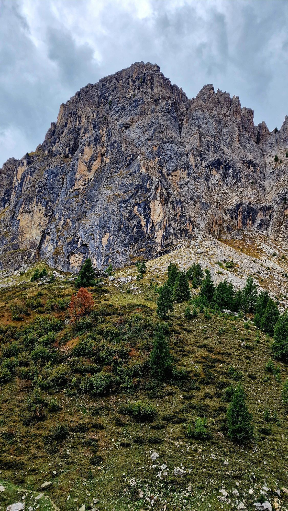
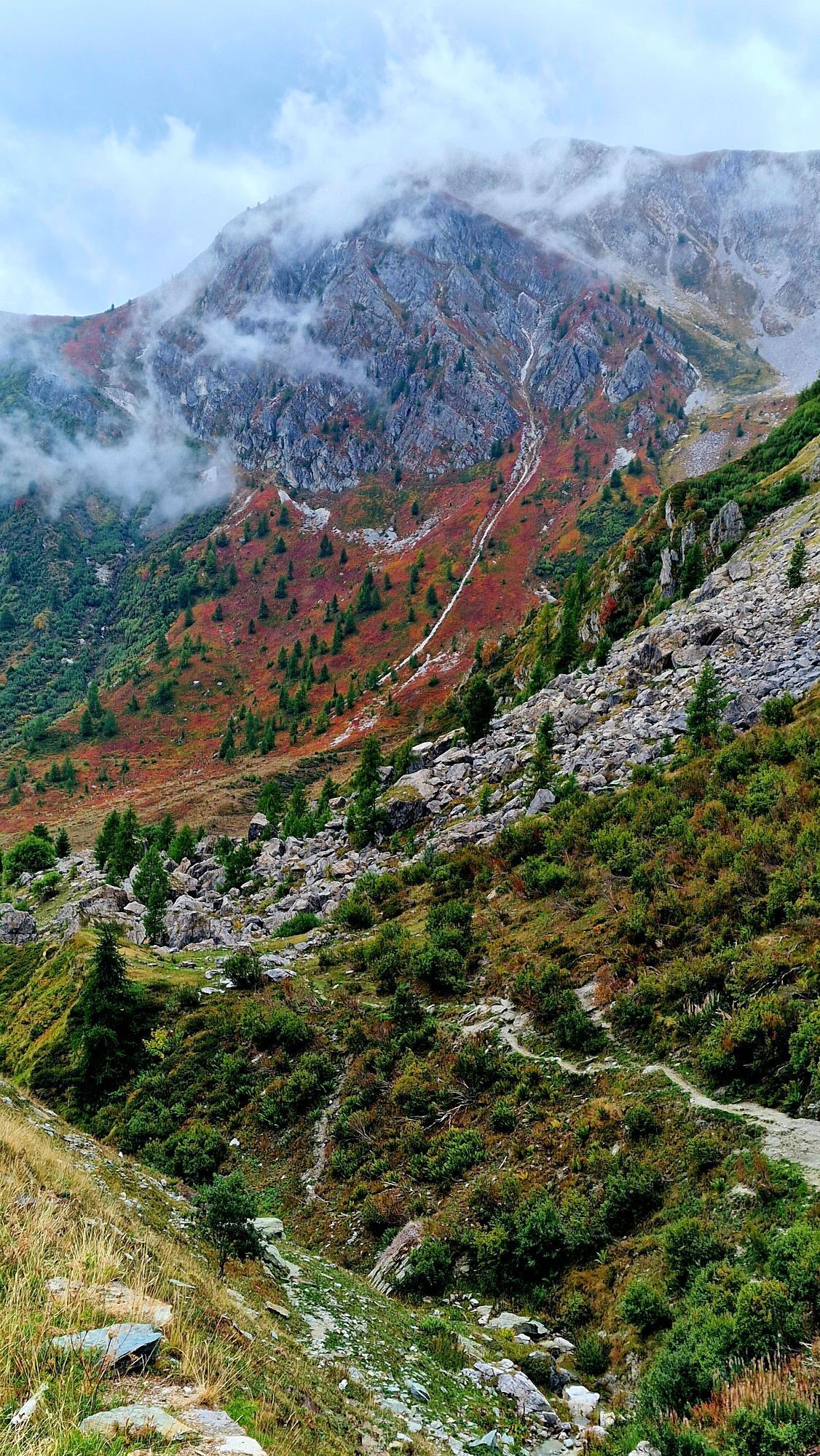
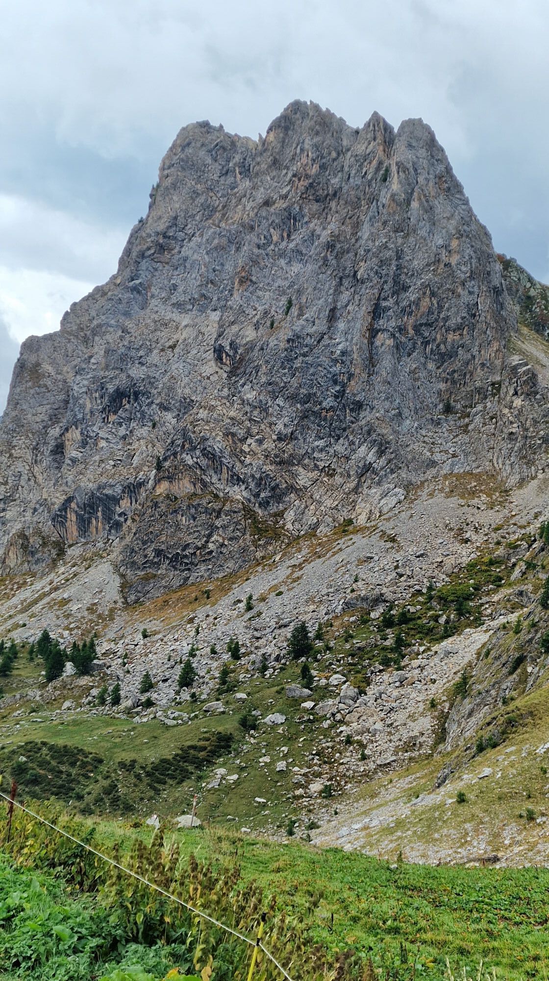
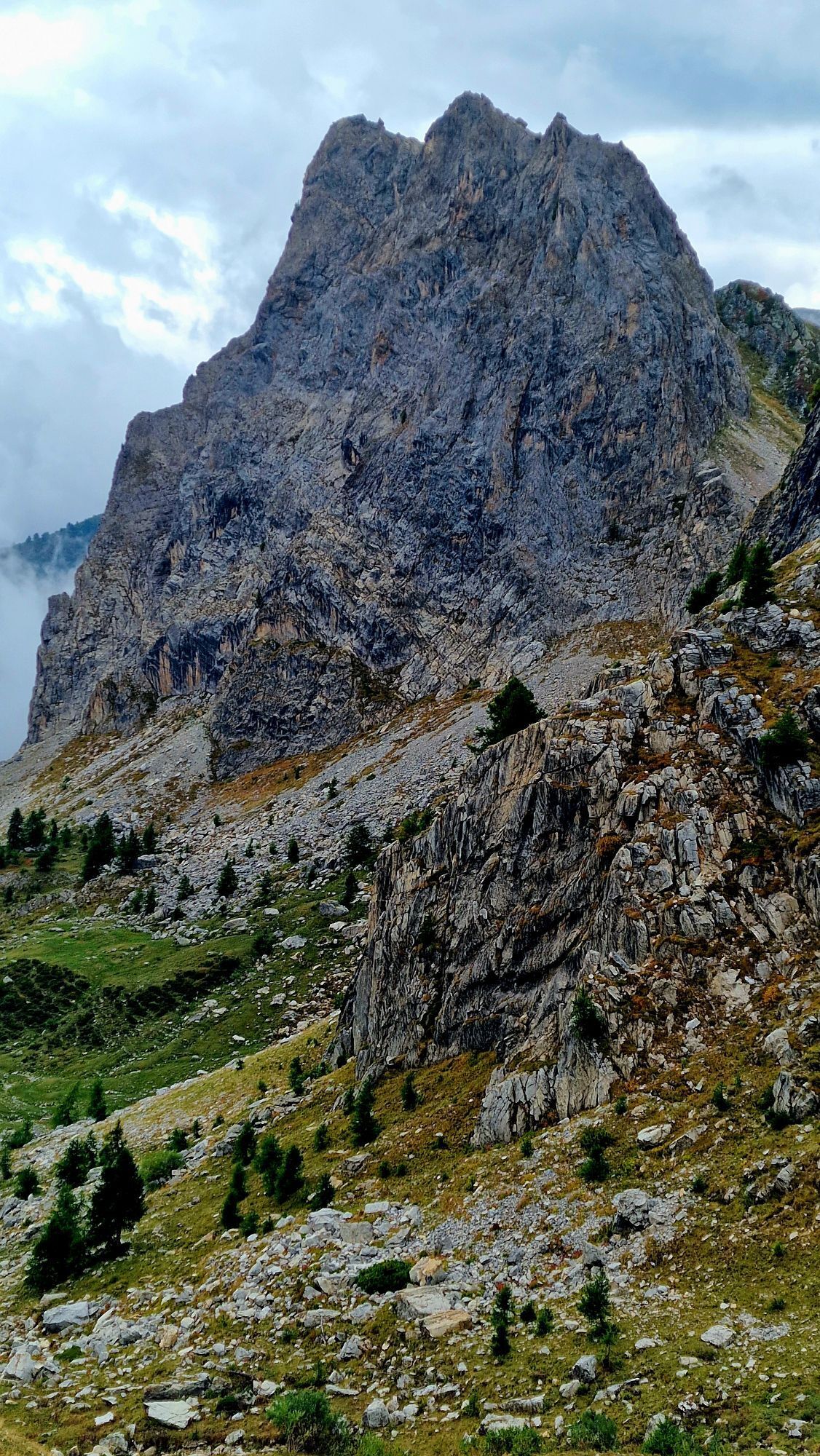
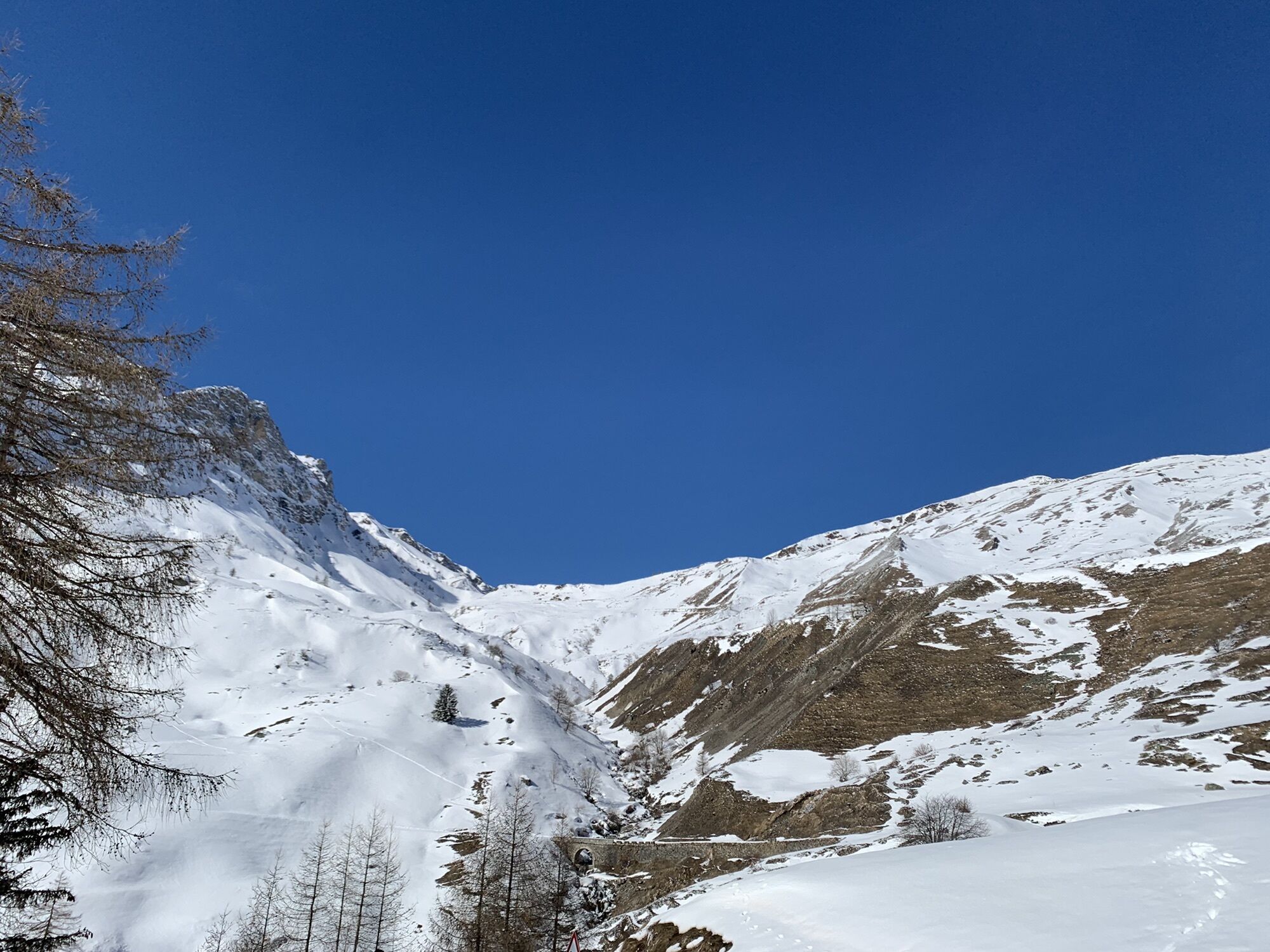

From the CAI della Gardetta refuge, avoid the branch on the left in the direction of the Preit hill and continue for almost 8 km up to the Margherina hill (2408 m). The entire path allows a grandiose view...
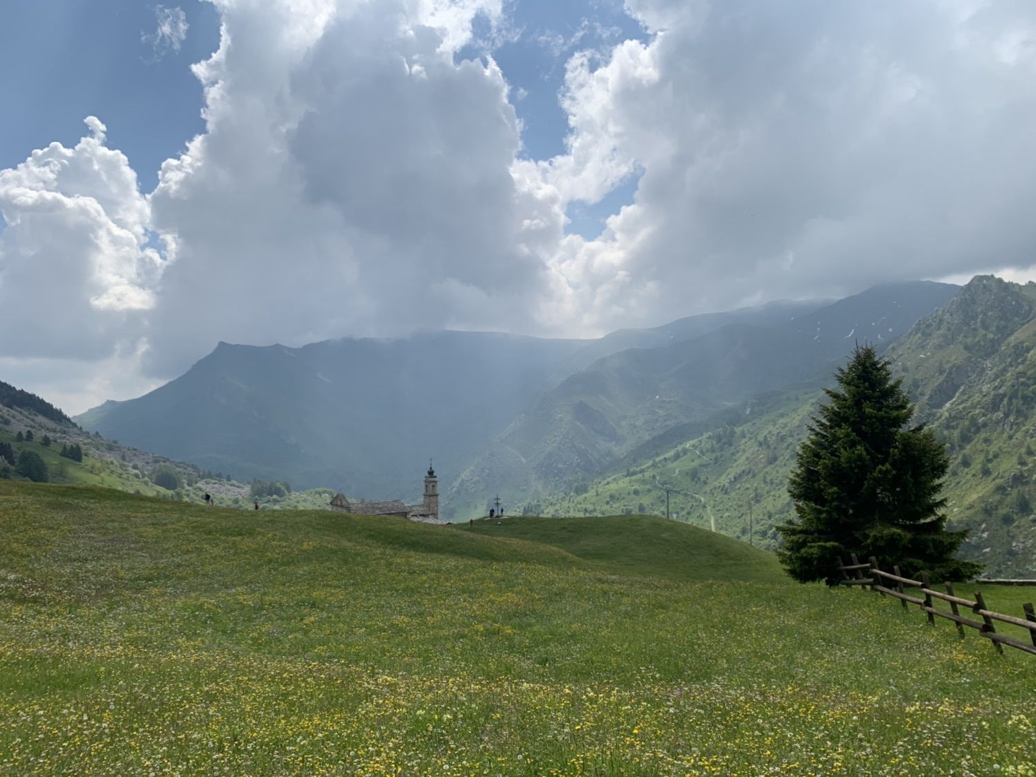
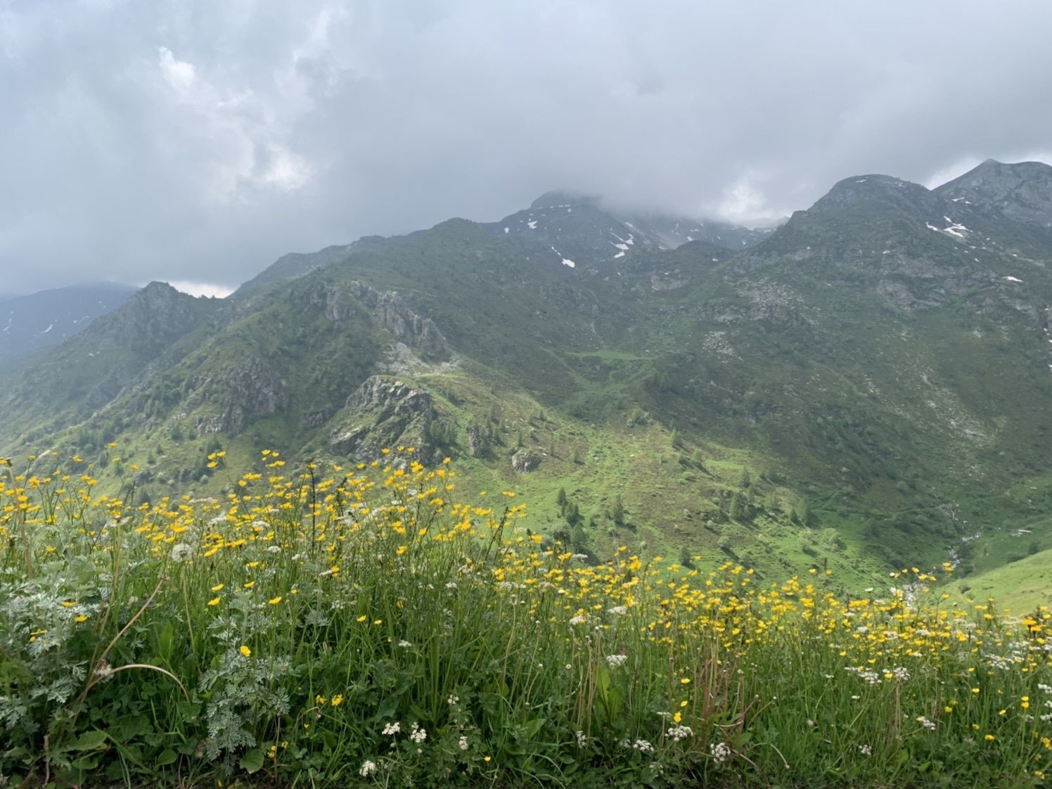
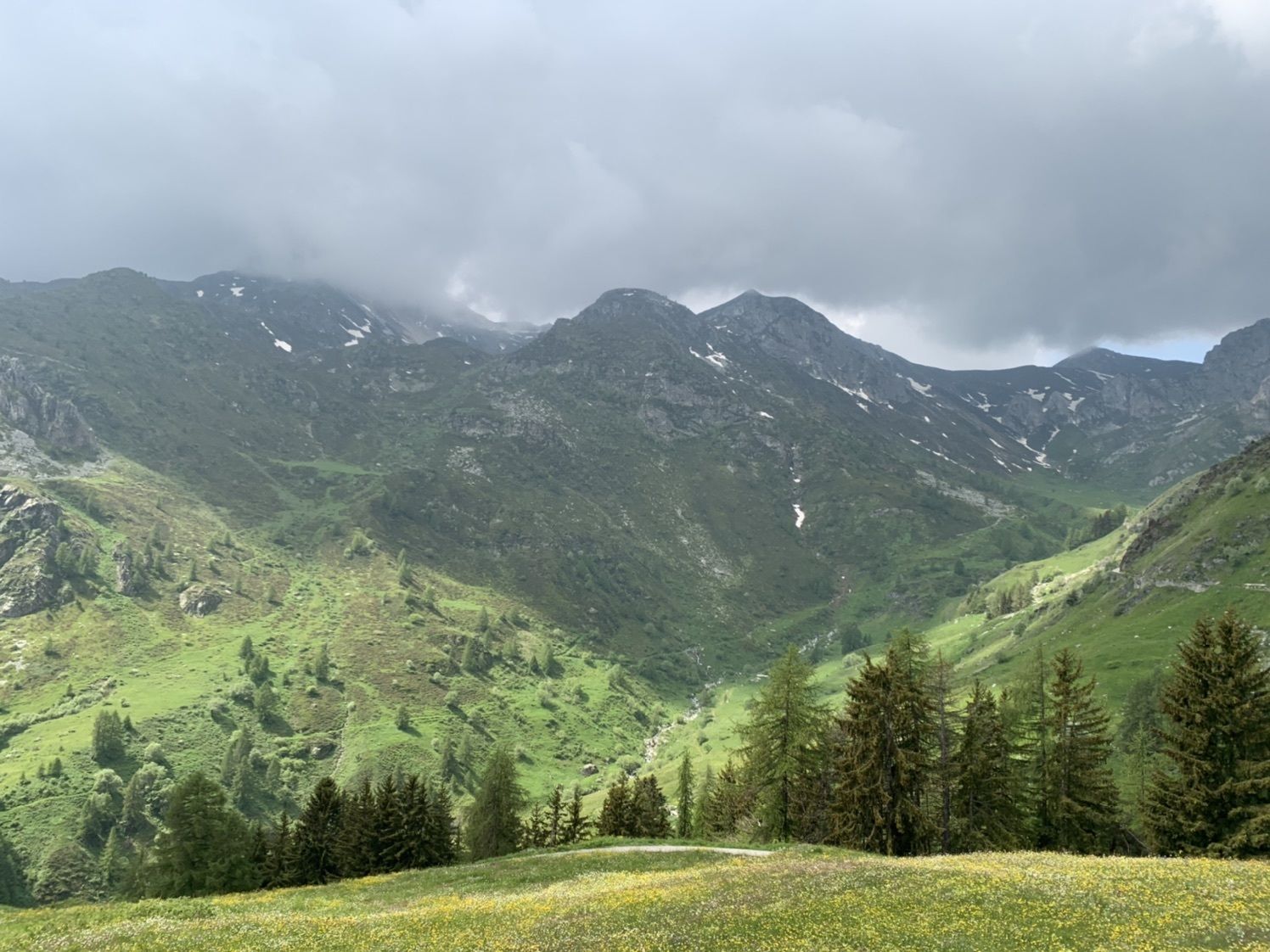
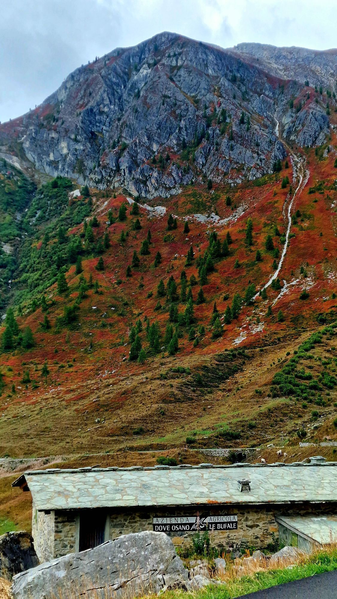
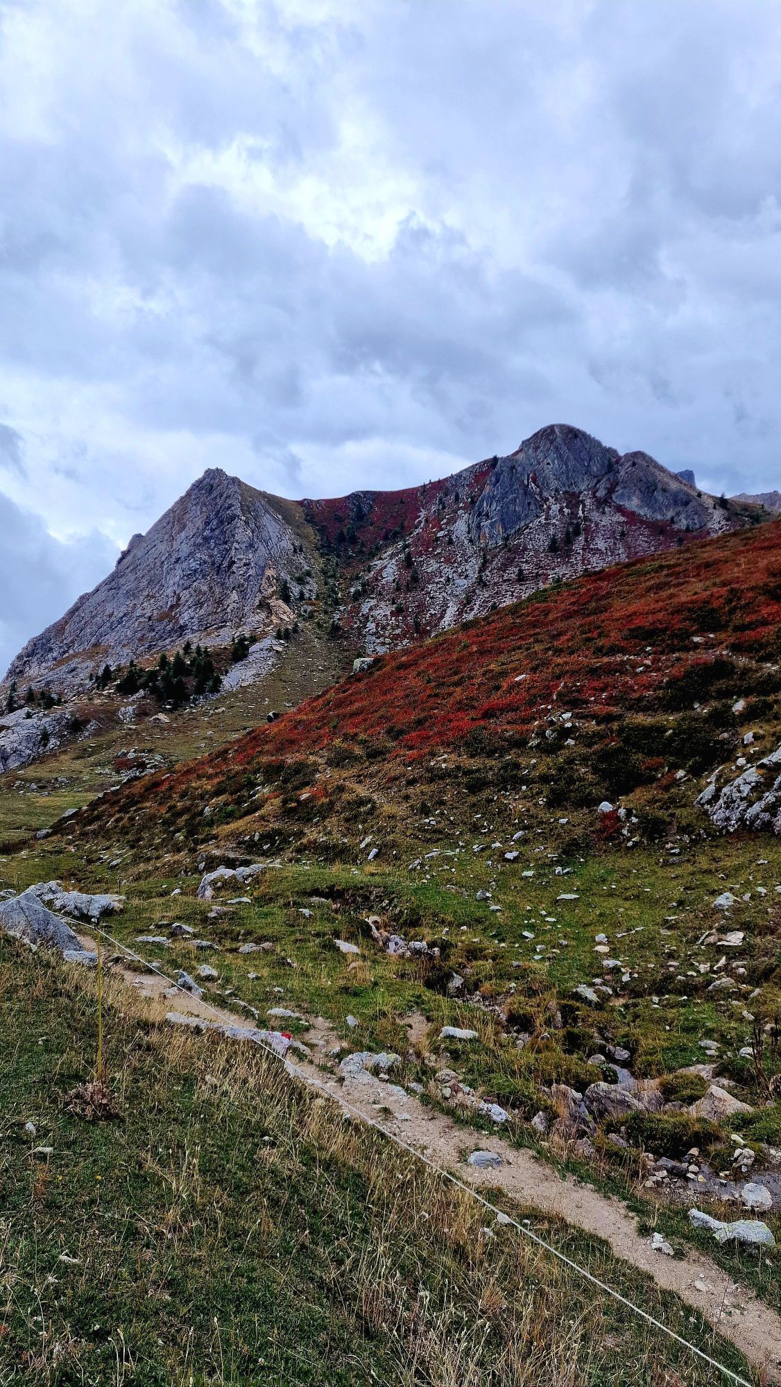
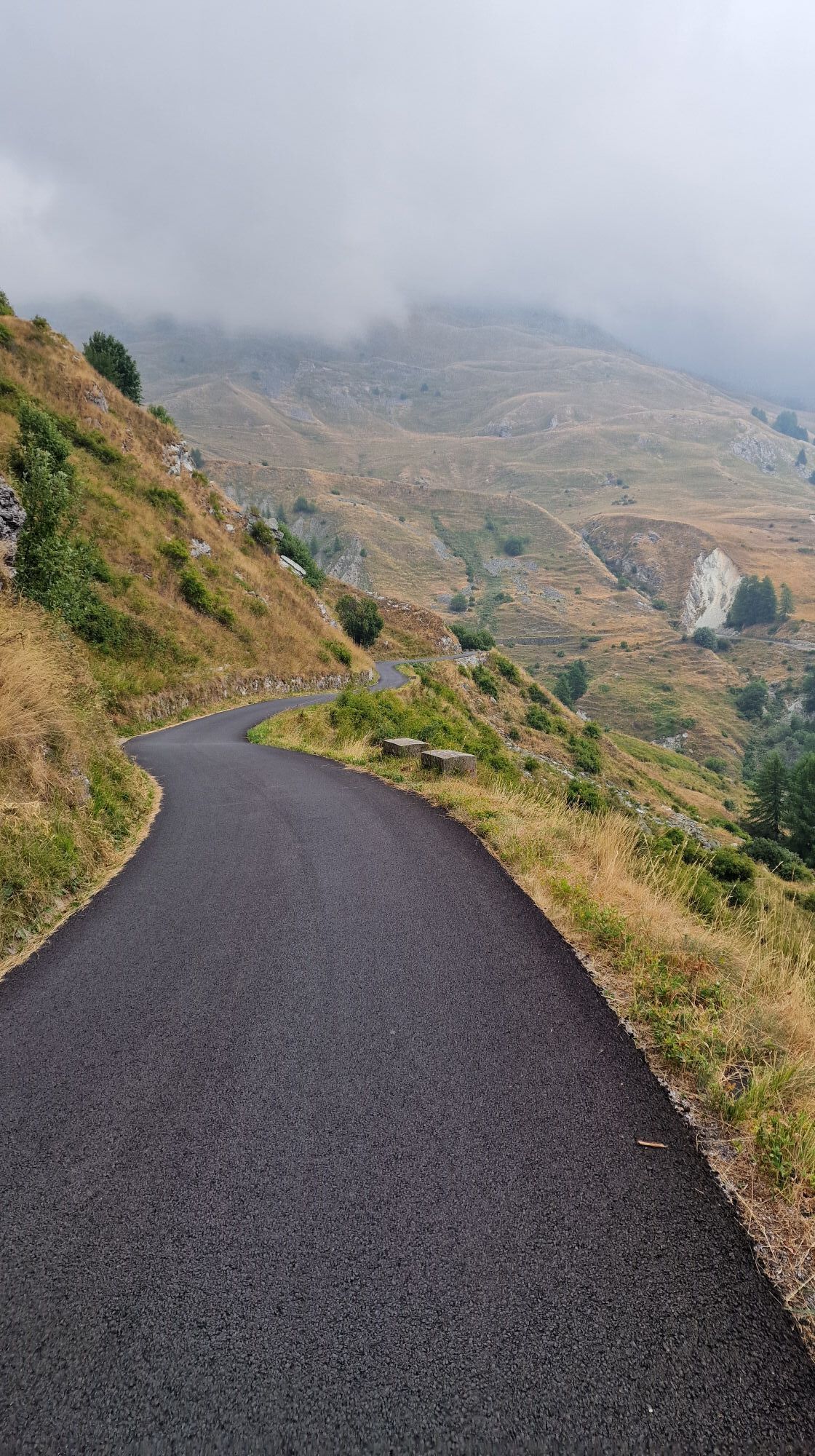
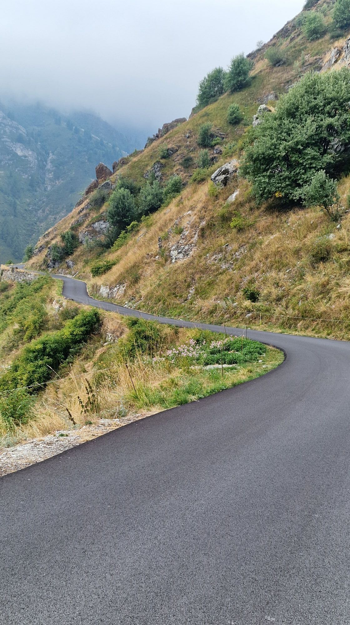
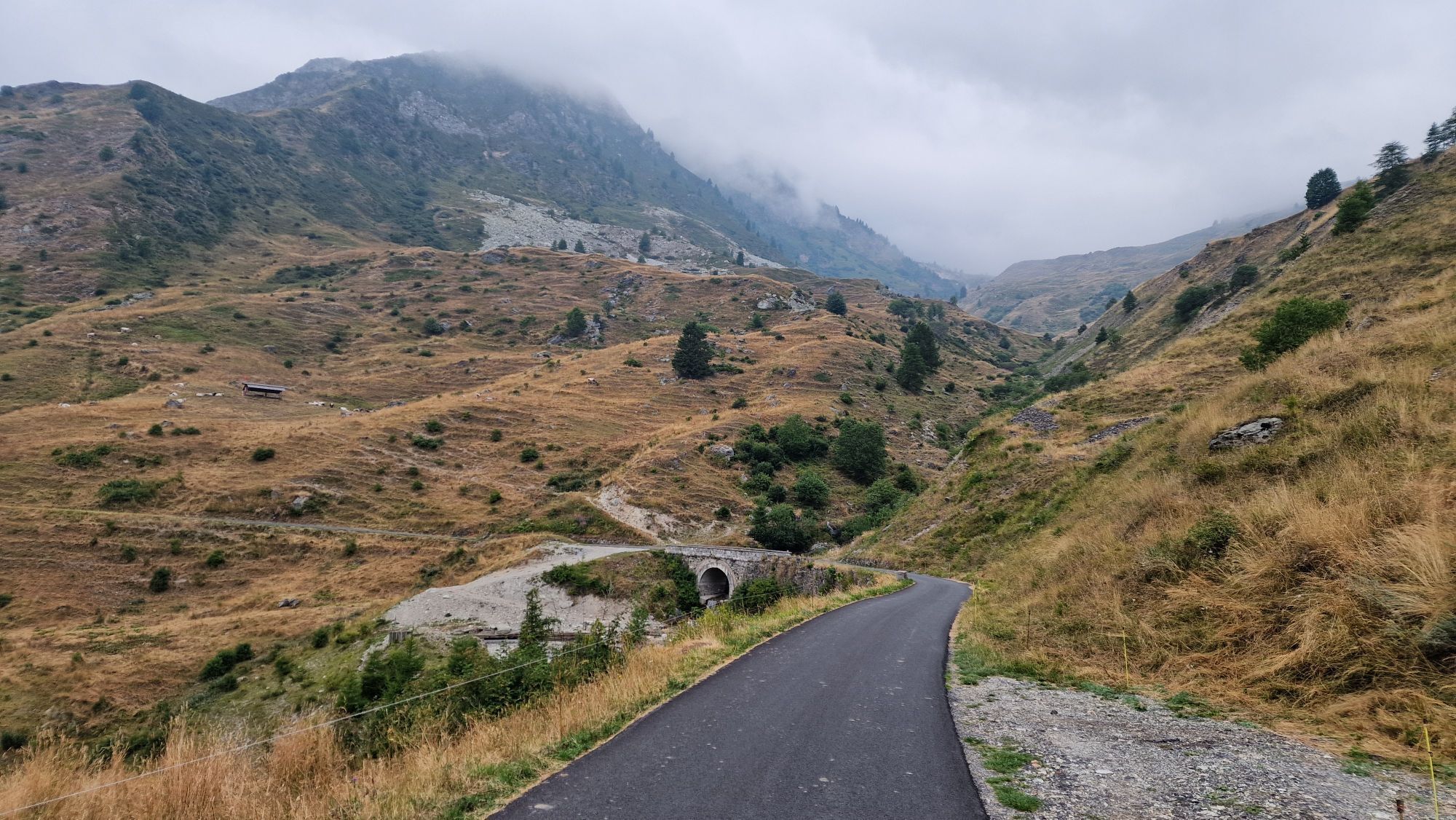
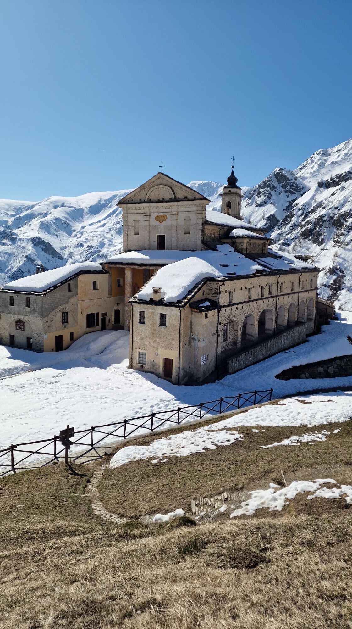
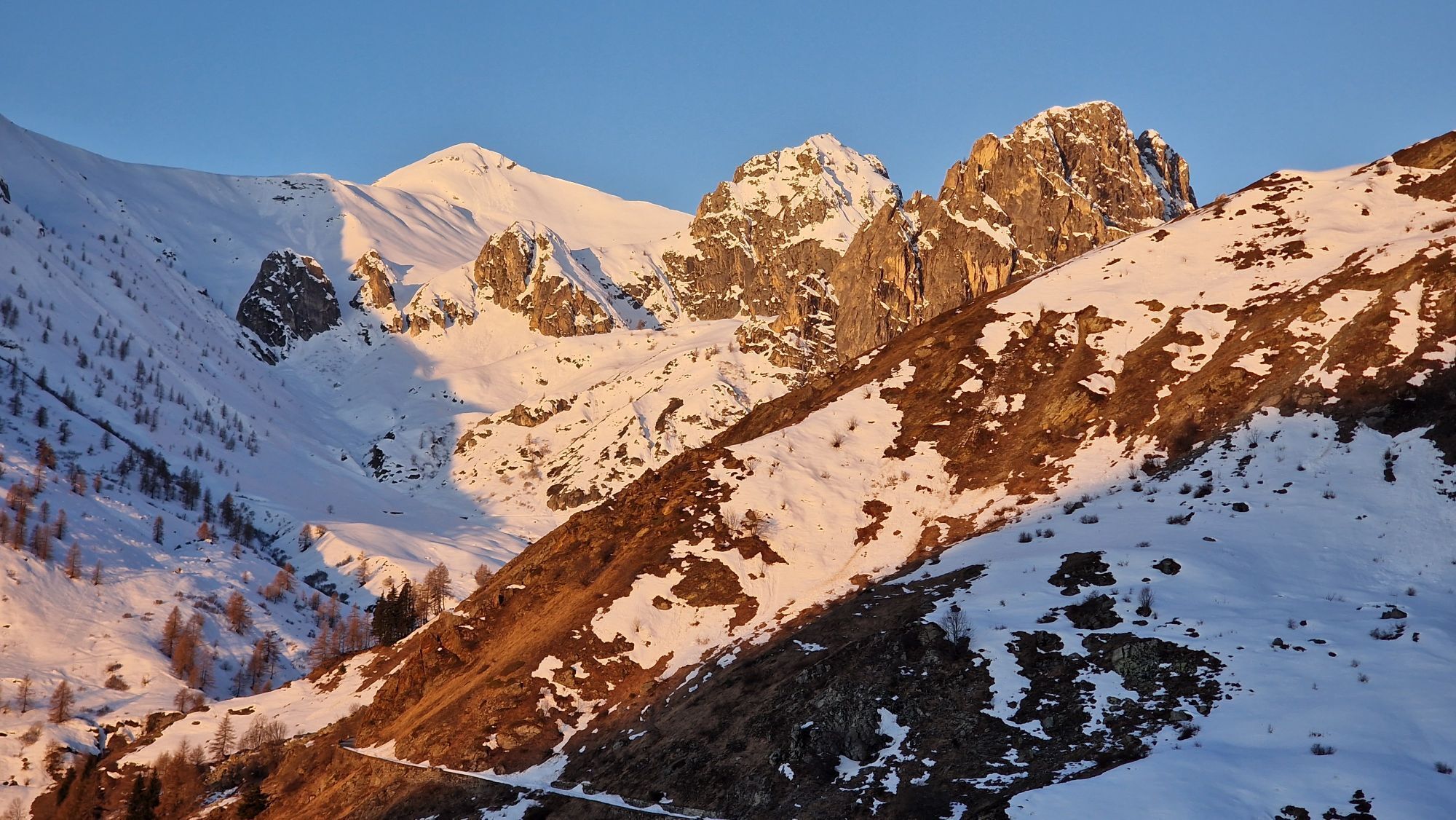
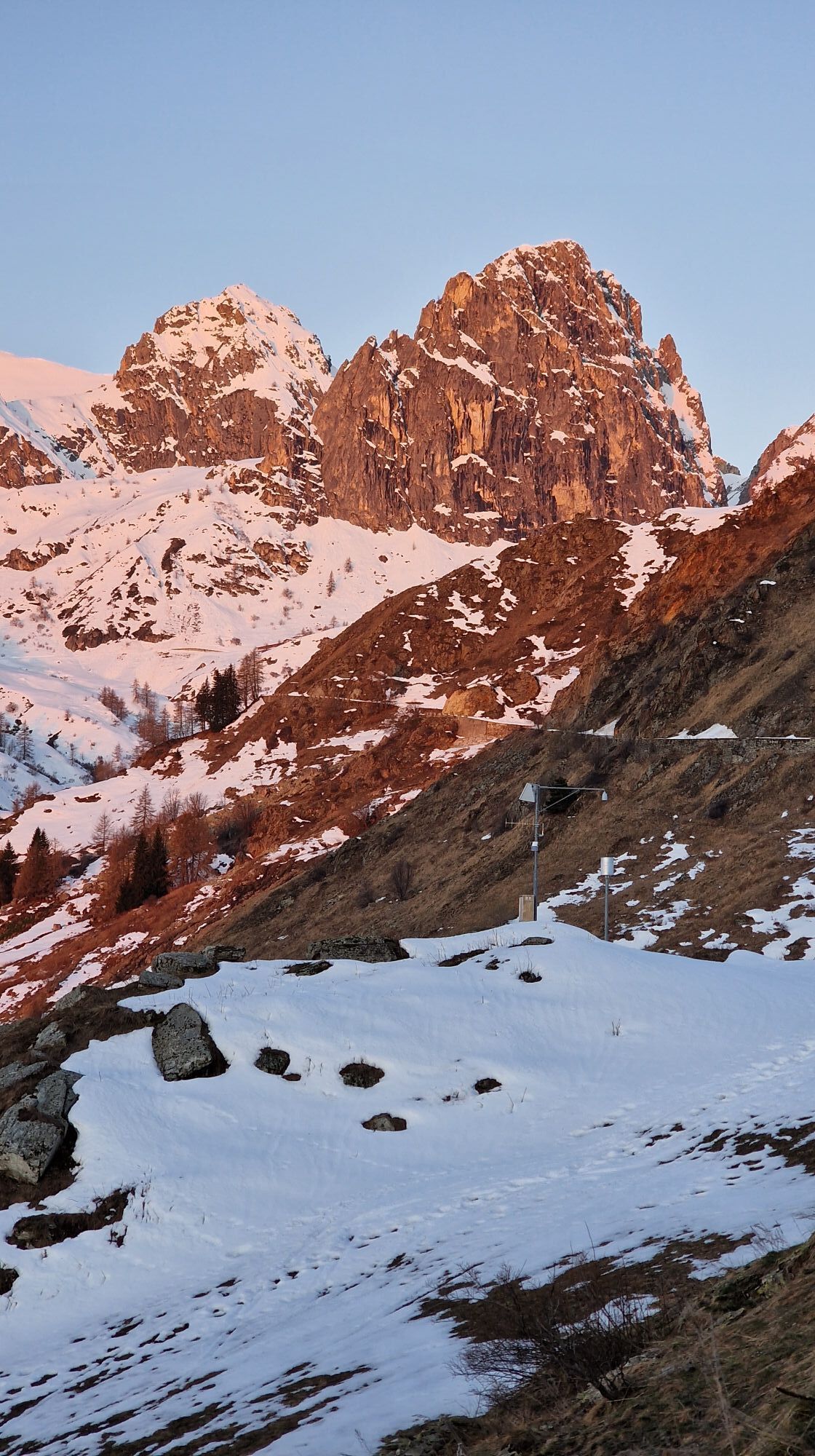
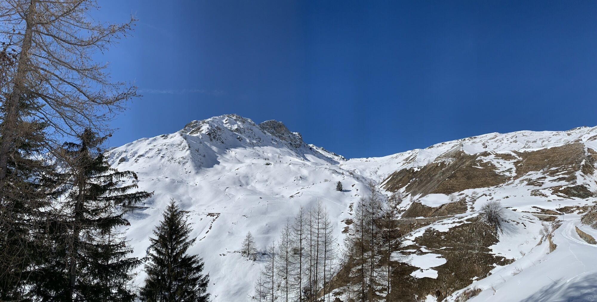
From the CAI della Gardetta refuge, avoid the branch on the left in the direction of the Preit hill and continue for almost 8 km up to the Margherina hill (2408 m). The entire path allows a grandiose view of Rocca La Meja and the morphology of the plateau. Once you reach Colle Margherina, keep left, pass the Meja lake under the slopes of Becco Nero and, still on the former military road, you can easily reach Colle di Ancoccia. Once here, after a short descent, a wide gravel traverse leads to Colle del Mulo. A stretch of descent into the Marmora valley and the subsequent ascent, on the right, allow you to reach the Vallonetto hill, now in sight of the "Fauniera" refuge and bivouac (formerly Rifugio Trofarello). From here it is possible to continue downhill to the sanctuary of San Magno (1764 m).

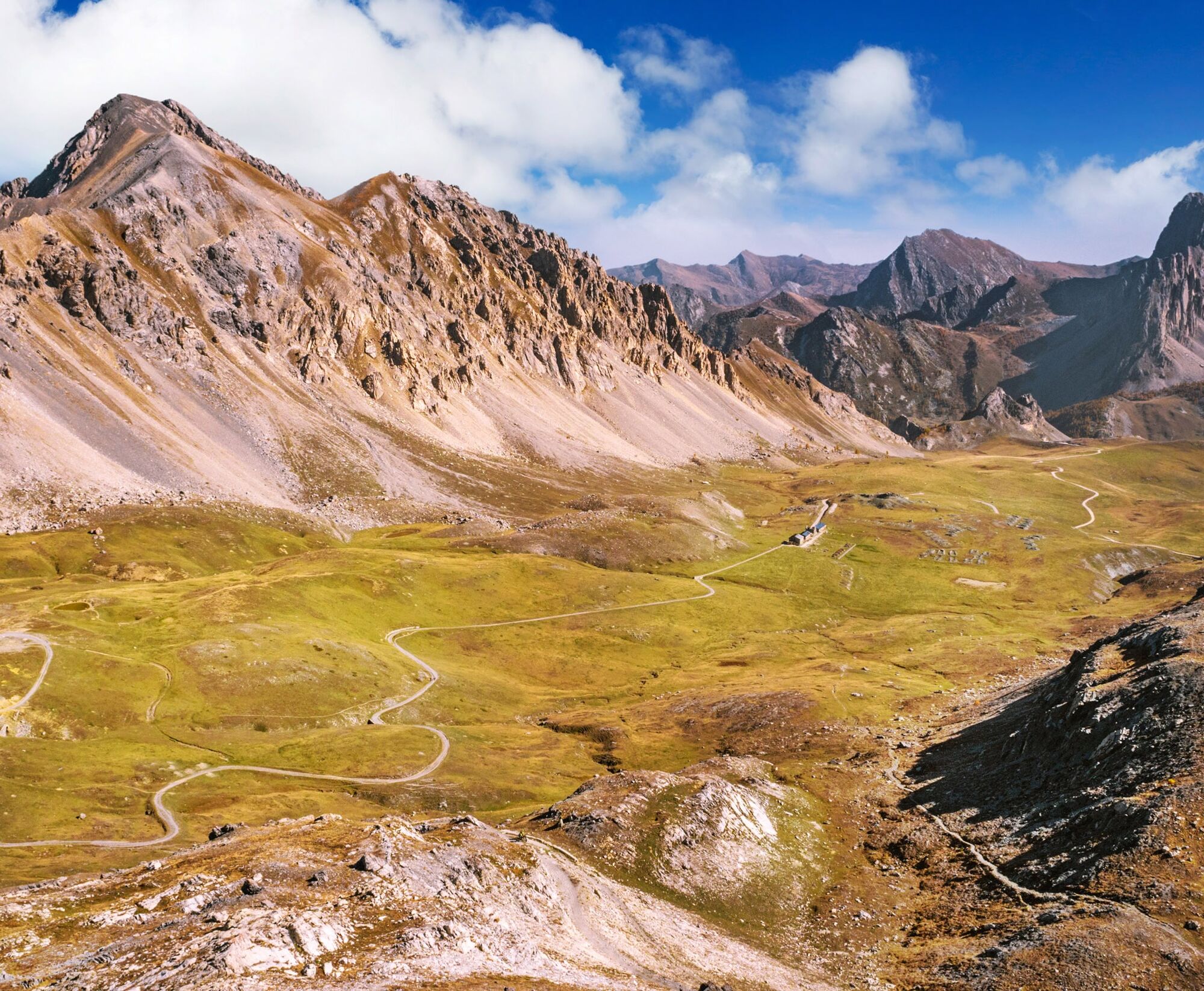

From the CAI della Gardetta refuge, avoid the branch on the left in the direction of the Preit hill and continue for almost 8 km up to the Margherina hill (2408 m). The entire path allows a grandiose view of Rocca La Meja and the morphology of the plateau. Once you reach Colle Margherina, keep left, pass the Meja lake under the slopes of Becco Nero and, still on the former military road, you can easily reach Colle di Ancoccia. Once here, after a short descent, a wide gravel traverse leads to Colle del Mulo. A stretch of descent into the Marmora valley and the subsequent ascent, on the right, allow you to reach the Vallonetto hill, now in sight of the "Fauniera" refuge and bivouac (formerly Rifugio Trofarello). From here it is possible to continue downhill to the sanctuary of San Magno (1764 m).
Given the route's development in a predominantly mountainous environment, the use of trekking boots, fleece, trousers and windbreaker in technical fabric is recommended.
Vodafone 90%
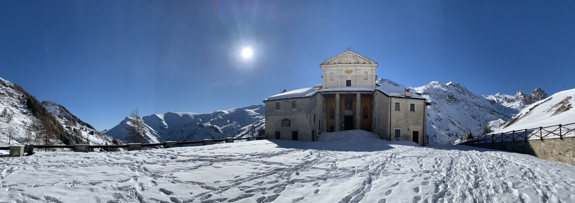
Gardetta plateau, Italian geological heritage since 2002 Rocca la Meja, dolomite rock Sanctuary San Magno, stands on a site that appears to have been frequented since the Roman period, as evidenced by the stone fragment with an inscription dedicated to the god Mars found under the altar in 19th century and now walled up under the external portico, behind the church - Allemandi chapel with the paintings of Pietro da Saluzzo (1450)
Popularne wycieczki w okolicy
-
4,5
Acceglio, bric boscasso
średniWycieczka narciarska 12,1 km -
5,0
Rocca le Meja - Valle Maira
ciężkiWycieczka wysokogórska 19,8 km -
Gardetta Bike Emotions
średniMountainbike 13,5 km -
San Giacomo-Colle Valcavera
średniDroga rowerowa 13,2 km -
5,0
Occitan Routes: Stage 8 Borgata Ussolo - Borgata Chiappera
średniWędrówka 14,5 km -
5,0
Percorsi Occitani: Tappa 4 Frazione Camoglieres - San Martino Inferiore
średniWędrówka 16,8 km -
3,5
Occitan Routes Stage 5
średniWędrówka 6,86 km -
5,0
Goldtoni - Alpenbogen A109 Sambuco-Ruata Valle (Stroppo)
średnidługodystansowy szlak pieszy 36,8 km -
5,0
Goldtoni - Alpenbogen A108 Strepeis-Sambuco
średnidługodystansowy szlak pieszy 16,1 km -
Occitan Routes: Stage 9 Borgata Chiappera - Borgata Chialvetta
średniWędrówka 15,2 km
Wędrówki i tropienie


Nie przegap ofert i inspiracji na następne wakacje
Twój adres e-mail została dodana do listy mailingowej.





