







Monte San Giorgio and Montagnazza from Piossasco - Hiking route.

Beautiful route on Monte San Giorgio, a very panoramic peak overlooking the Turin plain. On clear days, the panorama is unmatched and often decorated by the sails of paragliders taking off from the meadow...
Beautiful route on Monte San Giorgio, a very panoramic peak overlooking the Turin plain. On clear days, the panorama is unmatched and often decorated by the sails of paragliders taking off from the meadow on the subpeak. At the summit, there is a large cross and a Romanesque church dating back to the 10th century. A short stretch on the ascent path up to Colle della Serva allows reaching Montagnazza, with the nearby viewpoint overlooking southwards over the Pinerolese plain and Monviso. The descent on the southern side leads back to Piossasco and the starting point, with a recommended stop at the small church of San Valeriano.

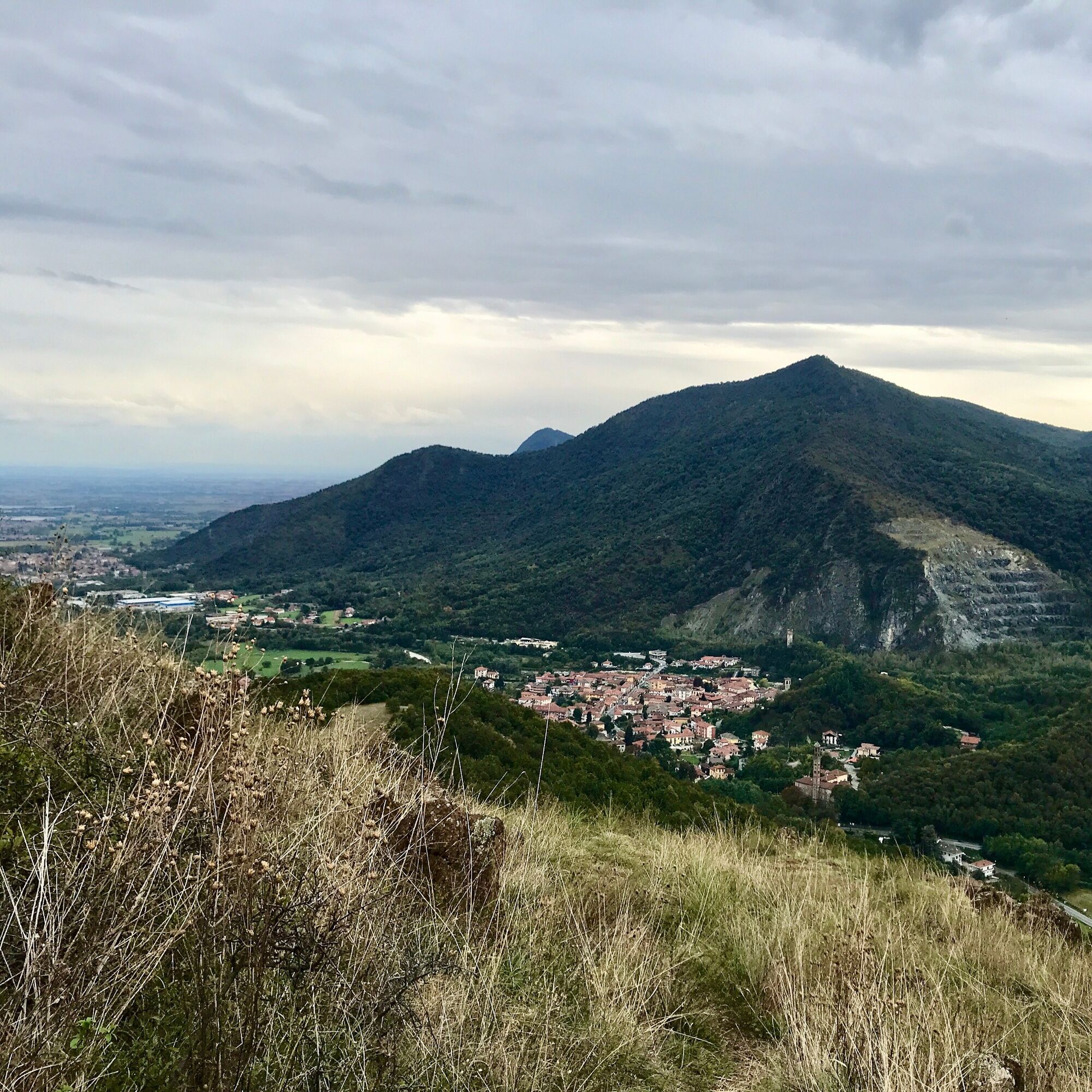
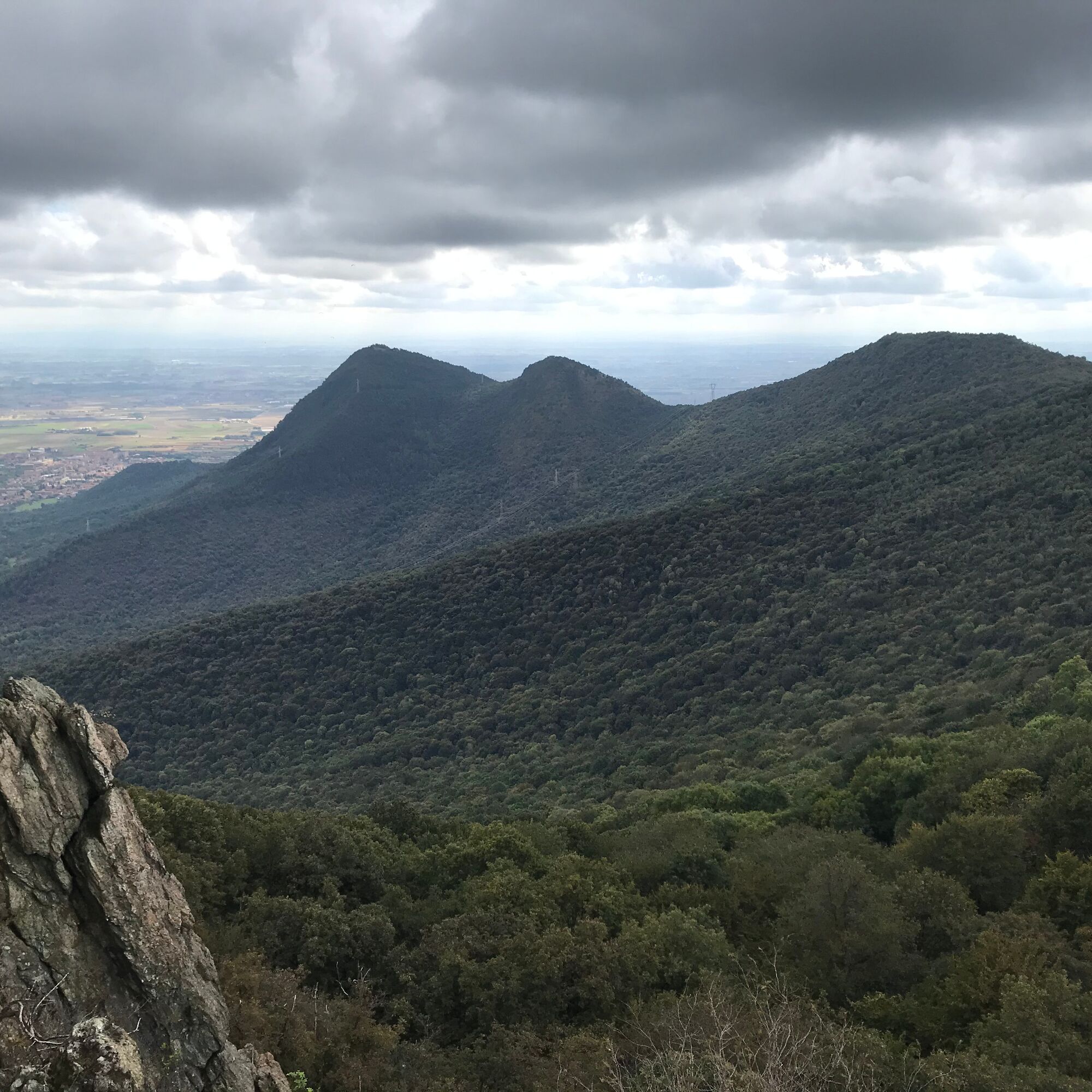
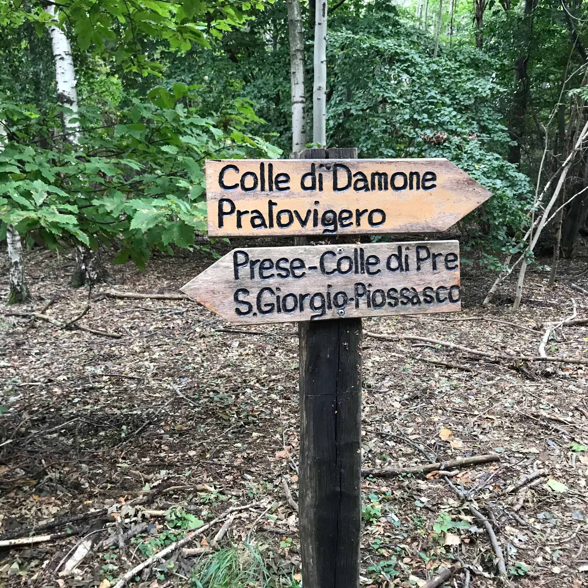

Recommended departure from the picnic area of Pera Caval. Follow the signs to the chapel of San Valeriano. Turn right uphill on the mule track that runs a long diagonal along the mountainside and follow the signs up to the summit of Monte San Giorgio. Retrace the path to Colle della Serva. Then Rubata Bo and Colle di Prè, up to Pera Luvera, a panoramic point near the summit of Montagnazza. Retrace the path back to Colle di Prè and then follow a descent with a long diagonal towards Piossasco and the return to the base.
Tak
Tak
Hiking boots and possibly telescopic poles.
Be careful on the descent over uneven ground when the surface is damp or wet.
Route accessible throughout the year.
Be careful on the descent over uneven ground when the surface is damp or wet.

Popularne wycieczki w okolicy
-
4,7
On the summit of the magical Musiné
światłoWędrówka 6,94 km -
Avigliana Lakes - Easy route, ideal for families with children
światłoWędrówka 9,25 km -
CASELETTE - The Musiné loop
średniWędrówka 7,52 km -
5,0
Unspoiled woods and ancient hamlets in Valsangone - Selvaggio Loop - Bagaggera
światłoWędrówka 9,08 km -
PINEROLO Route to Monte Muretto
średniWędrówka 2,12 km -
Easy route - Monte Cuneo (Moncuni) Loop route from Reano
światłoWędrówka 7,97 km -
CUMIANA by MTB on the Amphitheater Path
średniMountainbike 32,4 km -
PINEROLO Trail "Ecomuseum of the Charcoal Piles"
średniWędrówka 7,46 km -
A walk in the Megalithic - The Menhirs of Pietraborga - Direct route from the Torrioni
średniWędrówka 9,30 km -
Path of Love and Pirandello Path Coazze - Valsangone
światłoWędrówka 3,51 km
Wędrówki i tropienie


Nie przegap ofert i inspiracji na następne wakacje
Twój adres e-mail została dodana do listy mailingowej.





