


Historical Mountain Routes | Route of Friar Dolcino
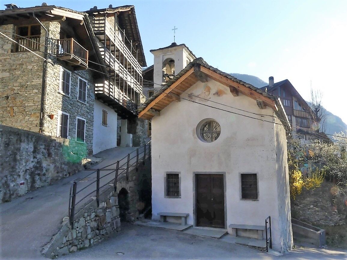
Situated on the orographic right bank of the Sesia, along the road to Rassa, the hamlets of Piana and Dughera lie at the foot of the "Parete Calva" or Pian dei Gazzarri at an altitude of 1661 metres, on...
A crusade against them was launched in 1306 by the bishop of Vercelli, Raniero degli Avogadro. Accused of heresy by the Inquisition, Dolcino was captured and executed at the stake in 1307.In organising their defence against the siege, the Dolcinians (also known as Gazzari or Cathars) built fortifications whose remains on Monte Rubello have still been found by recent archaeological excavations.
The indicated path, which passes by the Crose delle Scarpie and Alpe Ciono (975 m), makes it possible to reach, not without difficulty, the very place where the signs of the encampment of the famous friar and his apostles are said to be visible.

From this knoll, the mule track bends slightly to the north to cross the Croso della Posa (equipped) and a stone landslide with an exposed passage. It then resumes its original direction as a path and passes over sloping rocks where the footprint of a horse's foot is engraved (Pè 'd cavall). In the area, a sign indicates the way to attack the mountaineering routes of the Parete Calva.Cross a small wall to climb steeply in a north-north-westerly direction to the Falconera locality, where you cross, bending to the left with a diagonal ascent, a section infested with tall ferns that hide the path. We reach a clearly visible rock jump, which the trail contours by bending to the right, then winding steeply uphill for the steepest slope and turning left to reach the knoll known as Selletto della Scala, 1,200 m, where there was a wire station.
The route winds its way through a grove of birch and beech trees and, still climbing steeply, enters the left side of the hollow of the Bondetto stream, which forks into a narrow gorge.
Amidst hazel and birch tree stumps, the trail climbs with an almost vertical slope, contours a rocky mound, passes the Balma della Calce and shortly afterwards reaches the wooded Intaglio del Bondetto, 1400m.
Itinerary 290, now abandoned and to be avoided, used to arrive here from the north. In common with this last section, turn right to overcome a couple of rock jumps with the help of a chain and shortly reach Pian dei Gàzzari at 1426m.
http://www.caivarallo.it/valsesia/sentieri-valsesia/sentieri-valsesia-dettaglio.php?sentiero=408
Tak
The route has exposed and challenging sections, so the hike must be approached prepared and with care.
From Milan and Turin via A4/E64 and SP299 in just over 2 hours (approx. 150 km)
Numerous mountaineering routes have been traced on this wall, while to the north and west is the overhang of the Parete del Mezzodì, culminating in the Cima Brione (or Varga Monga), 1661m.The presence of Fra' Dolcino on the Pian dei Gazzari is recalled by a pit pit with stones descending in a helix pattern, driven into the ground in its circumference and which served as a cistern; also signs of that presence are a hollow, perhaps used as a hearth, and engravings of dates and phrases on two rock outcrops. In the first half of this century, there was also a chiselled stone that perhaps served as a table for heretics, removed at a date unknown to local scholars.
Source: www.caivarallo.it
Popularne wycieczki w okolicy
-
Carcoforo- colle del termo- rima
średniWycieczki górskie 8,38 km -
5,0
Ospizio Sottile
średniWędrówka 4,77 km -
Historical Mountain Routes | The Via Regia along the Old Aosta Road
ciężkidługodystansowy szlak pieszy 8,41 km -
Ciclabile della Valsesia: Tappa 5 Piode - Alagna Valsesia
ciężkiKolarstwo długodystansowe 15,5 km -
Ciclabile della Valsesia: Tappa 3 Varallo - Scopello
ciężkiKolarstwo długodystansowe 19,8 km -
Ciclabile della Valsesia: Tappa 4 Scopello - Piode
ciężkiKolarstwo długodystansowe 32,1 km -
GTA: Tappa 27 Rifugio Rivetti - Santuario di San Giovanni d'Andorno
średniWędrówka 14,7 km -
Valsesia Cycle Path
ciężkiKolarstwo długodystansowe 94,4 km -
Historic Mountain Routes | Turlo Pass
średniWędrówka 7,70 km -
Historic Mountain Routes | Otro Valley Road
średniWędrówka 4,53 km

Wędrówki i tropienie


Nie przegap ofert i inspiracji na następne wakacje
Twój adres e-mail została dodana do listy mailingowej.