







Water Street | Stage 1 Tigliole Fraz. San Carlo - Valfenera
Starting from the hamlet of San Carlo di Tigliole, the crossing point between the Via dell'Acqua and the Via dei Santi, we proceed westwards along the ridge. In this way we cross a series of groups of...
Starting from the hamlet of San Carlo di Tigliole, the crossing point between the Via dell'Acqua and the Via dei Santi, we proceed westwards along the ridge. In this way we cross a series of groups of isolated houses interspersed with large spaces occupied by woods. The route also offers numerous panoramic views of the surrounding valleys. The route then brushes the village of Valperosa and continues as far as Bricco Gallo, where we can stop in one of the accommodation facilities in the area. We then continue along the various ridges of the hills, alternating with some ascents and descents in the most panoramic part of the route. We will cross wide and completely natural areas, with no houses and characterised by dense vegetation. We arrive then at the crossroad to Cantarana, variant 1A. We continue along the main stage past the area of the headwater fields. This area, in fact, is historically characterised by the strong presence of water, becoming one of the main suppliers of drinking water in the province of Asti. We then continue towards the hamlets of Novarino and Serra di Balla, where there are several rather important votive shrines for local worship. We then descend towards the valley, cross the SP19, and enter a large area used for cultivation, cross the Rio Stanavasso and walk along the road that leads to the ridge, finally arriving at the village of Valfenera, the arrival point of Stage 1. Valfenera is located on the border with the provinces of Cuneo and Turin. Archaeological finds testify that this territory was already settled in Roman times. Originally the village was situated around the church of San Pietro and only later did it move to its present location for defensive reasons. The ownership of Valfenera followed the destiny of many villages in the province of Asti, passing from family to family, until returning among the possessions of the Savoys.

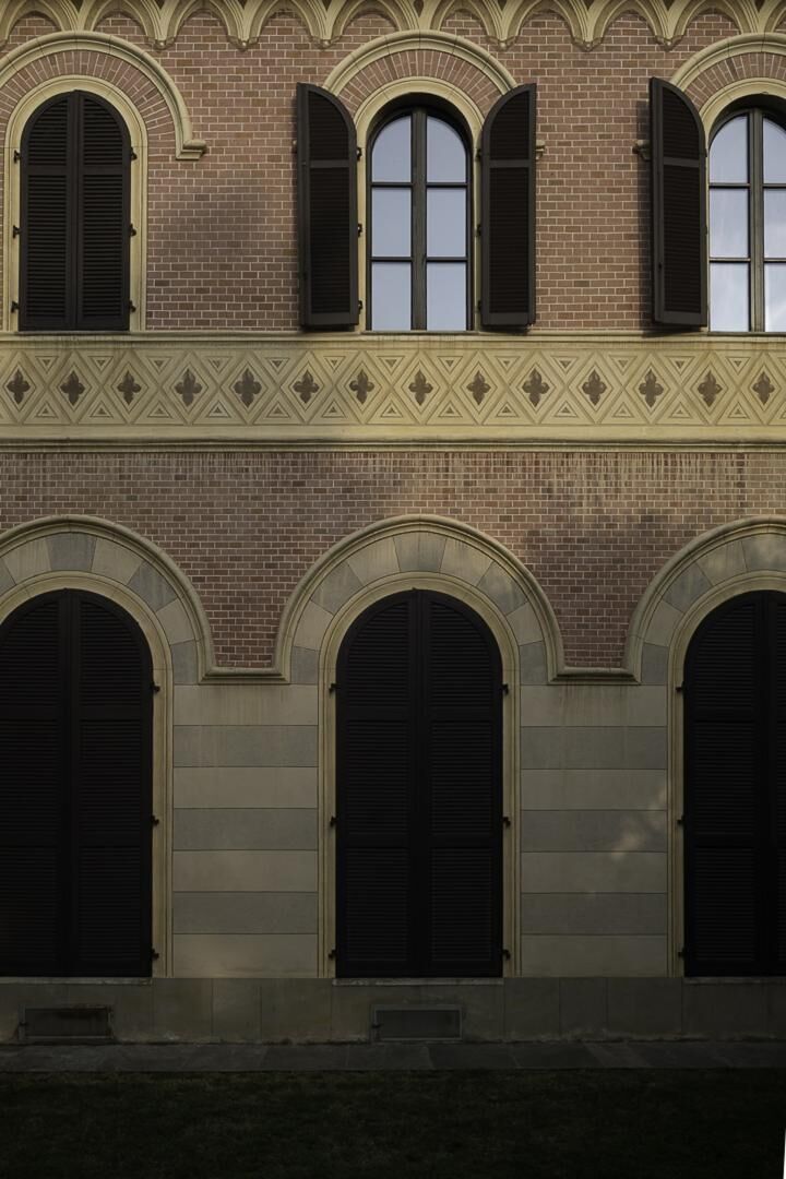
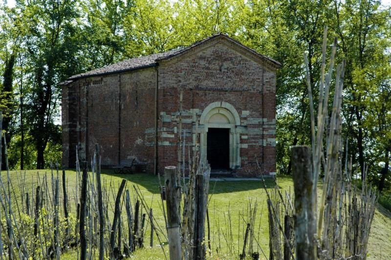
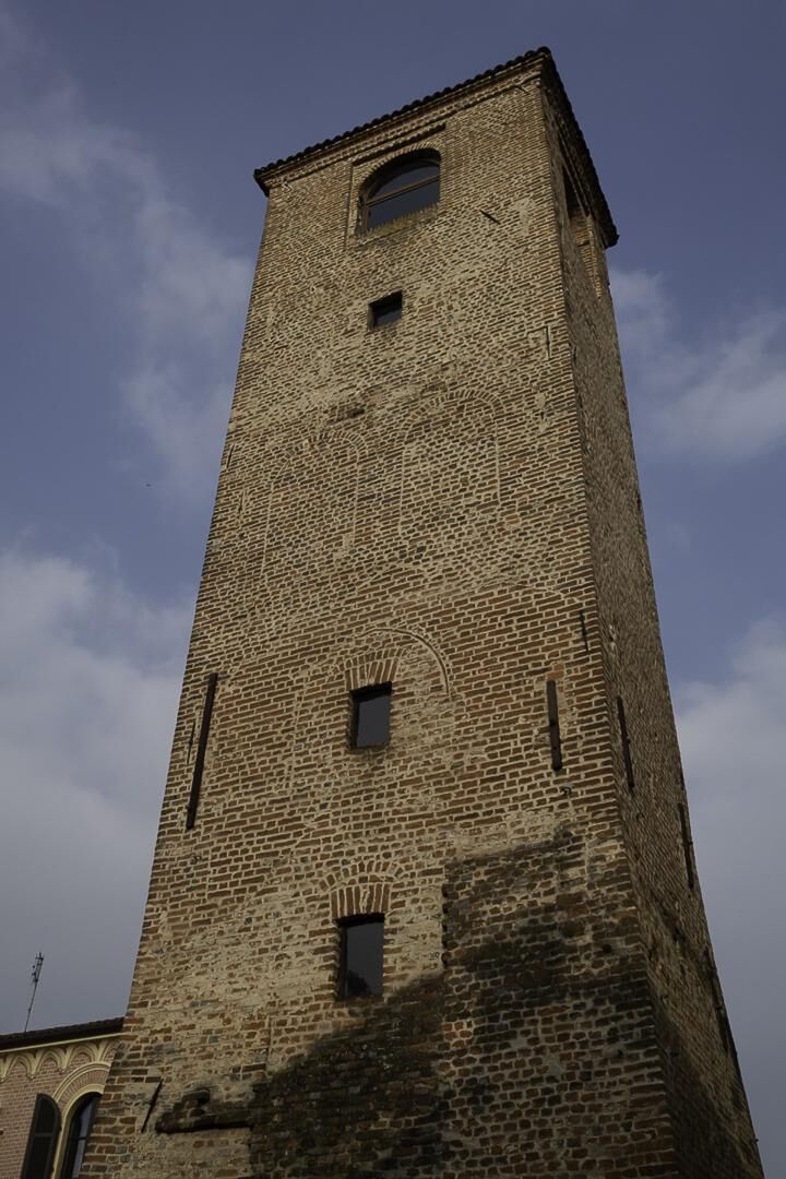

Starting from the hamlet of San Carlo di Tigliole, the crossing point between the Via dell'Acqua and the Via dei Santi, we proceed westwards, along the ridge. In this way we cross a series of groups of isolated houses interspersed with large spaces occupied by woods. The route also offers numerous panoramic views of the surrounding valleys. The route passes the town of Valperosa and continues up to Bricco Gallo, where we can stop in one of the accommodation businesses in the area. We then continue along the various ridges of the hills, interspersed with some ups and downs, in the most panoramic stretch of the route. In fact, we will cross large, completely natural areas, devoid of homes and characterized by thick vegetation. Thus we arrive at the crossroads for Cantarana, variant 1A. We continue along the main stage, passing the area of the spring fields. This area, in fact, is historically characterized by the strong presence of water, becoming one of the main suppliers of drinking water in the province of Asti. We then continue towards the hamlet of Novarino and Serra di Balla, where there are some votive pillars of considerable importance for local worship. We then descend towards the valley, cross the SP19, and enter a large area used for cultivation, cross the Rio Stanavasso and walk along the road that leads us to the ridge and, finally, to the town of Valfenera, a point of arrival of Stage 1. Valfenera is located on the border with the provinces of Cuneo and Turin. Archaeological findings demonstrate how this territory was already settled in Roman times. Originally the town was located around the church of San Pietro and only later, following defensive reasons, did it move to its current position. The property of Valfenera followed the fate of numerous towns in the province of Asti, passing from family to family, until it returned to the possessions of the Savoy family.
Easy route that does not require specific equipment
Nothing to report in this regard
Popularne wycieczki w okolicy
-
5,0
Castagnito - Oratory of the Holy Spirit
średniWędrówka 14,7 km -
PRALORMO - Ring around the Lake of the Thorn
Jazda na rowerze 11,3 km -
Arch 3 | From Casale Monferrato to Racconigi
ciężkiKolarstwo długodystansowe 143,4 km -
VILLASTELLONE - Ring from Borgo Cornalese toward the Roero.
średniDroga rowerowa 64,4 km -
IL GRANDE CAMMINO DEL MONFERRATO - 5°TAPPA: ASTI - CASTAGNOLE LANZE
ciężkiTrasa pielgrzymki 21,8 km -
Via dei Briganti | Stage 1 Cisterna d'Asti - Ferrere
światłoWędrówka 10,2 km -
Via dei Santi | Stage 2 Celle Enomondo San Pancrazio - Tigliole Hamlet San Carlo
światłoWędrówka 7,32 km -
Via dei Santi | Variant 3A Baldichieri d'Asti - Castellero
światłoWędrówka 3,24 km -
Via dei Santi: Stage 1 San Martino Alfieri - Celle Enomondo Fraz. San Pancrazio
światłoWędrówka 6,93 km -
Via dei Briganti | Stage 2 Ferrere - Villafranca d'Asti
światłoWędrówka 10,6 km

Wędrówki i tropienie


Nie przegap ofert i inspiracji na następne wakacje
Twój adres e-mail została dodana do listy mailingowej.





