







Rete Natura 2000 - Capanne di Marcarolo Stage 5

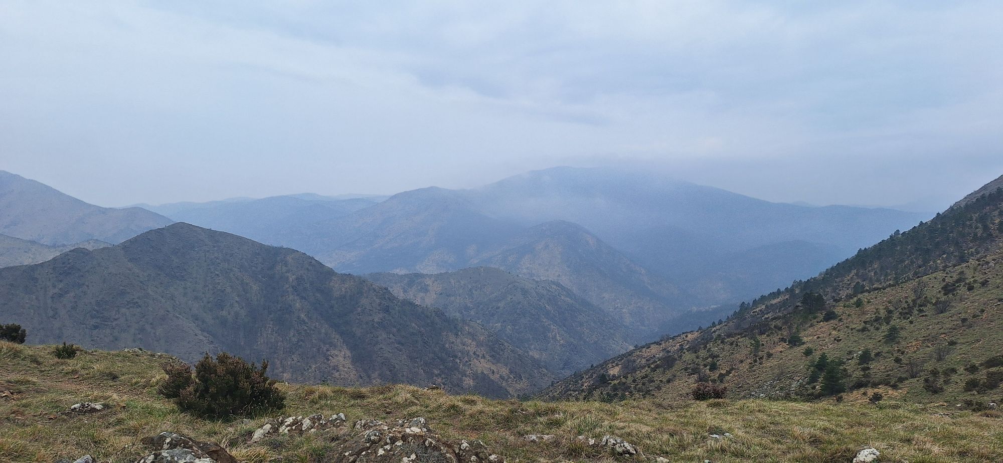
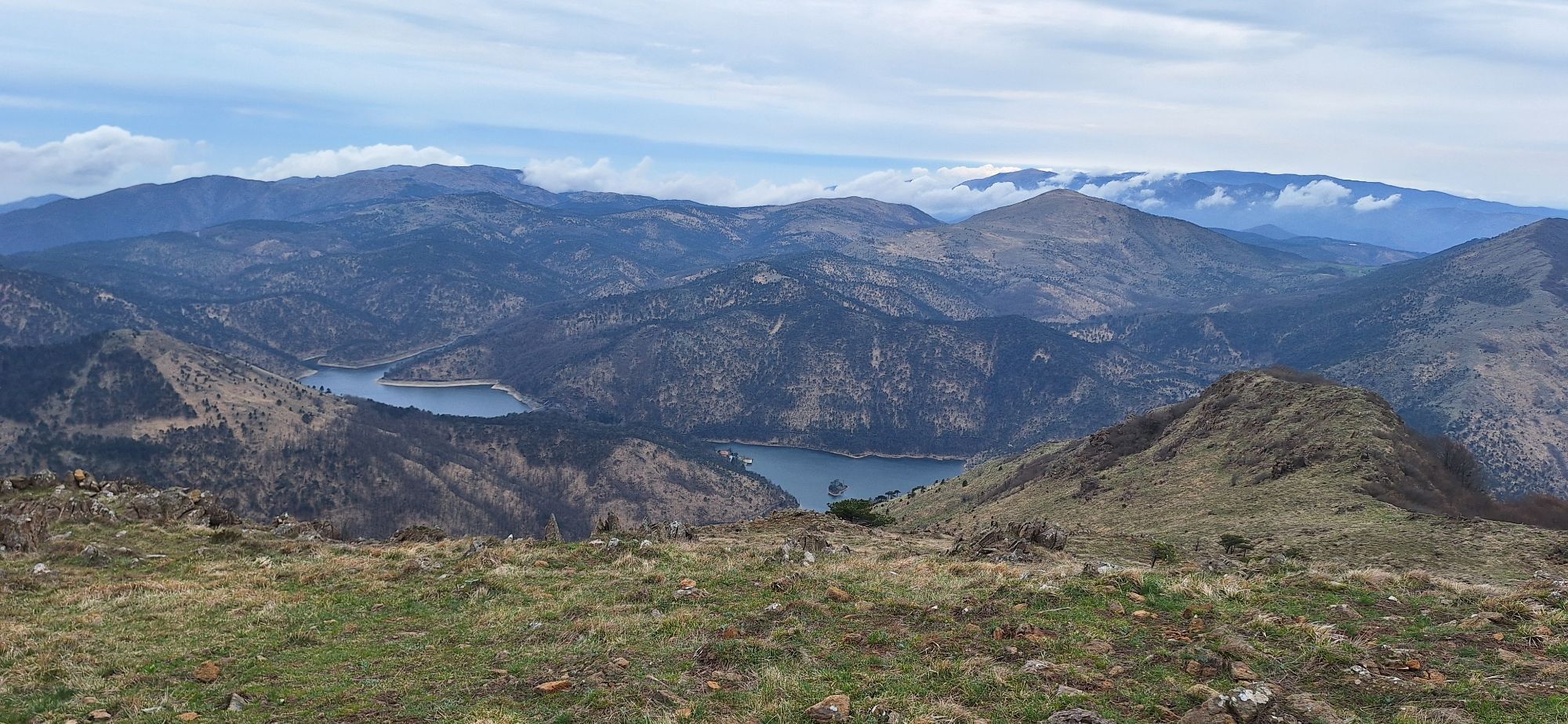
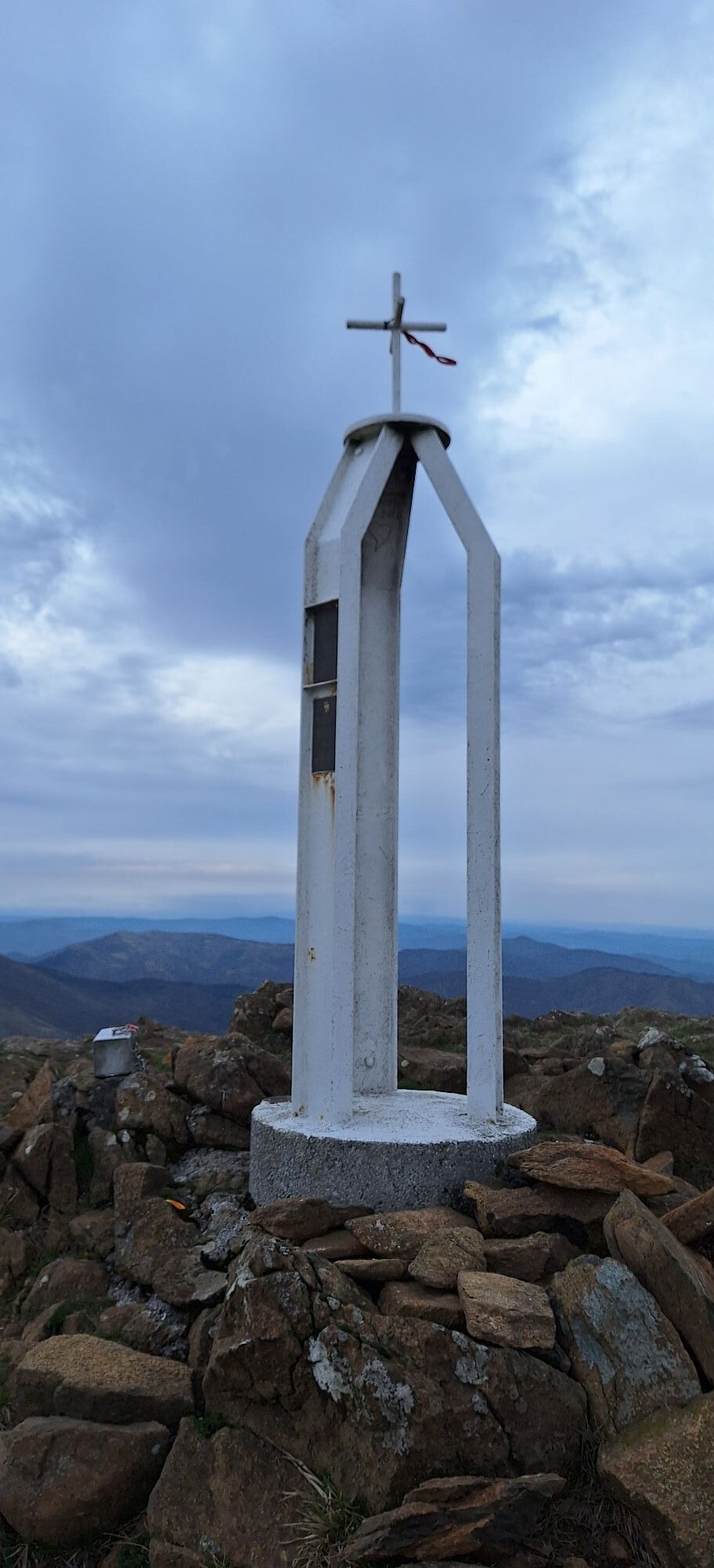
The itinerary provides for the return to Passo della Bocchetta, along the itinerary already travelled during the first stage. From Monte Tobbio,descend to Passo della Dagliola and from herefollow the signs...
The itinerary provides for the return to Passo della Bocchetta, along the itinerary already travelled during the first stage. From Monte Tobbio,descend to Passo della Dagliola and from herefollow the signs for Cascina Carrosina and Monte Figne (indicator pole of the Park Authority). Following the climb to Monte delle Figne, reach Passo del Mezzano again, and then the Alta Via dei Monti Liguri that leads back to Passo della Bocchetta.

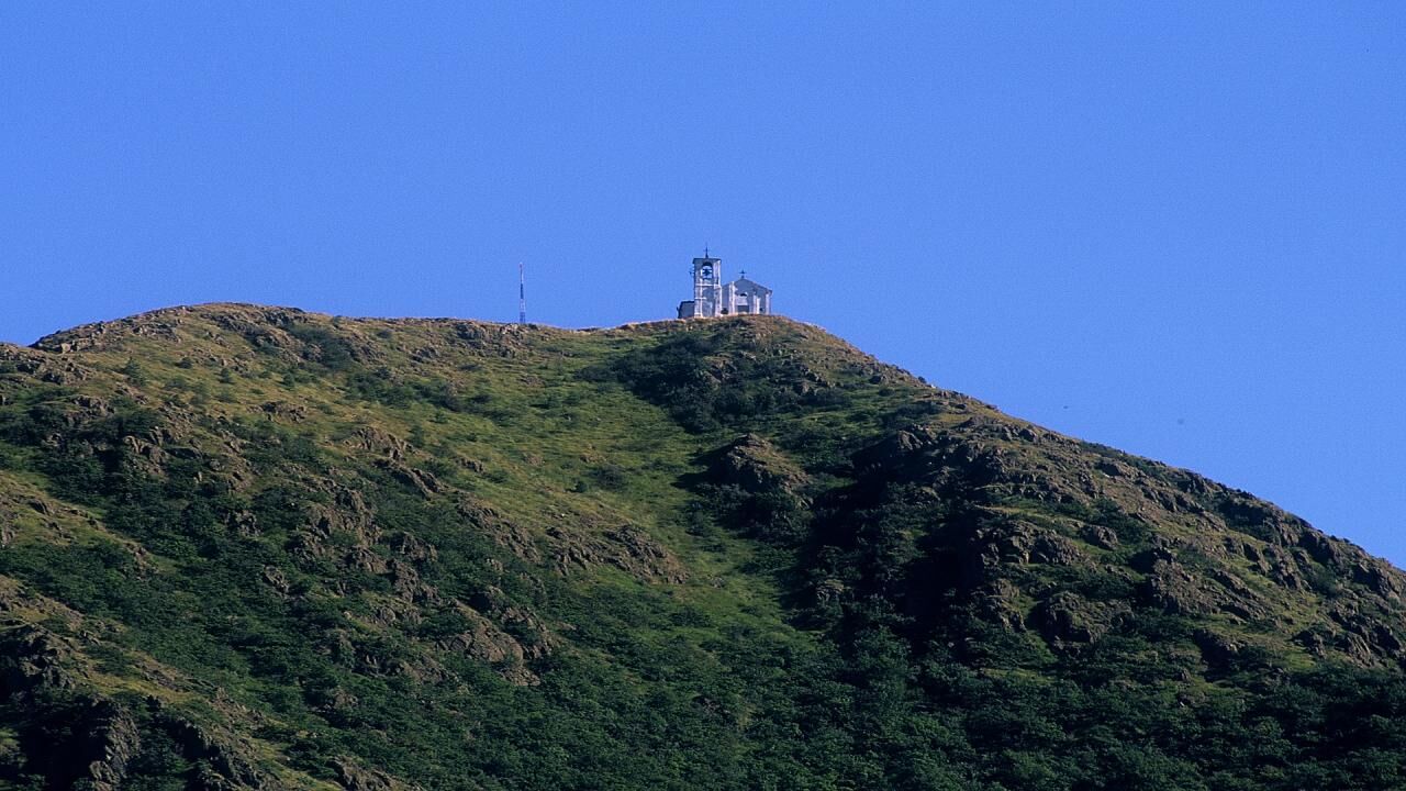

The itinerary includes the return to Passo della Bocchetta, along the itinerary already traveled during the first stage. From Monte Tobbio you descend to the Dagliola Pass and from here follow the signs for Cascina Carrosina and Monte Figne (park authority signpost). After the climb to Monte delle Figne, you reach the Passo del Mezzano again and then the Alta Via dei Monti Liguri which leads back to the Passo della Bocchetta.
Given the long route of the excursion, the use of trekking boots, fleece and a waterproof cape is recommended
Nothing to report
Nothing to report

Popularne wycieczki w okolicy
-
5,0
GE_25 The Guidovia della Guardia
Wędrówka 6,64 km -
5,0
Genova, giro dei forti
światłoWędrówka 11,0 km -
GE_24 The walls and the forts of Genoa
Wędrówka 11,9 km -
DH Apparizione – Livellato lines
średniMountainbike 12,2 km -
Libarna and Alto Monferrato by bike
ciężkiMountainbike 47,8 km -
Forte Diamante: anello da Ponte Sifone Vielino (Genova, Liguria)
średniWędrówka 14,5 km -
Punta Martin - Pegli
średniWędrówka 18,8 km -
IL GRANDE CAMMINO DEL MONFERRATO - 10°TAPPA: OVADA - MORNESE
średniTrasa pielgrzymki 19,2 km -
Trail no. 26: Crocetta d'Orero - Colle di Creto
Wędrówka 7,23 km -
IL GRANDE CAMMINO DEL MONFERRATO - 11°TAPPA: MORNESE - GAVI
średniTrasa pielgrzymki 18,2 km
Wędrówki i tropienie


Nie przegap ofert i inspiracji na następne wakacje
Twój adres e-mail została dodana do listy mailingowej.





