







Historic Mountain Routes | Cadorna Line Stage 1 | Ornavasso-Fort of Bara
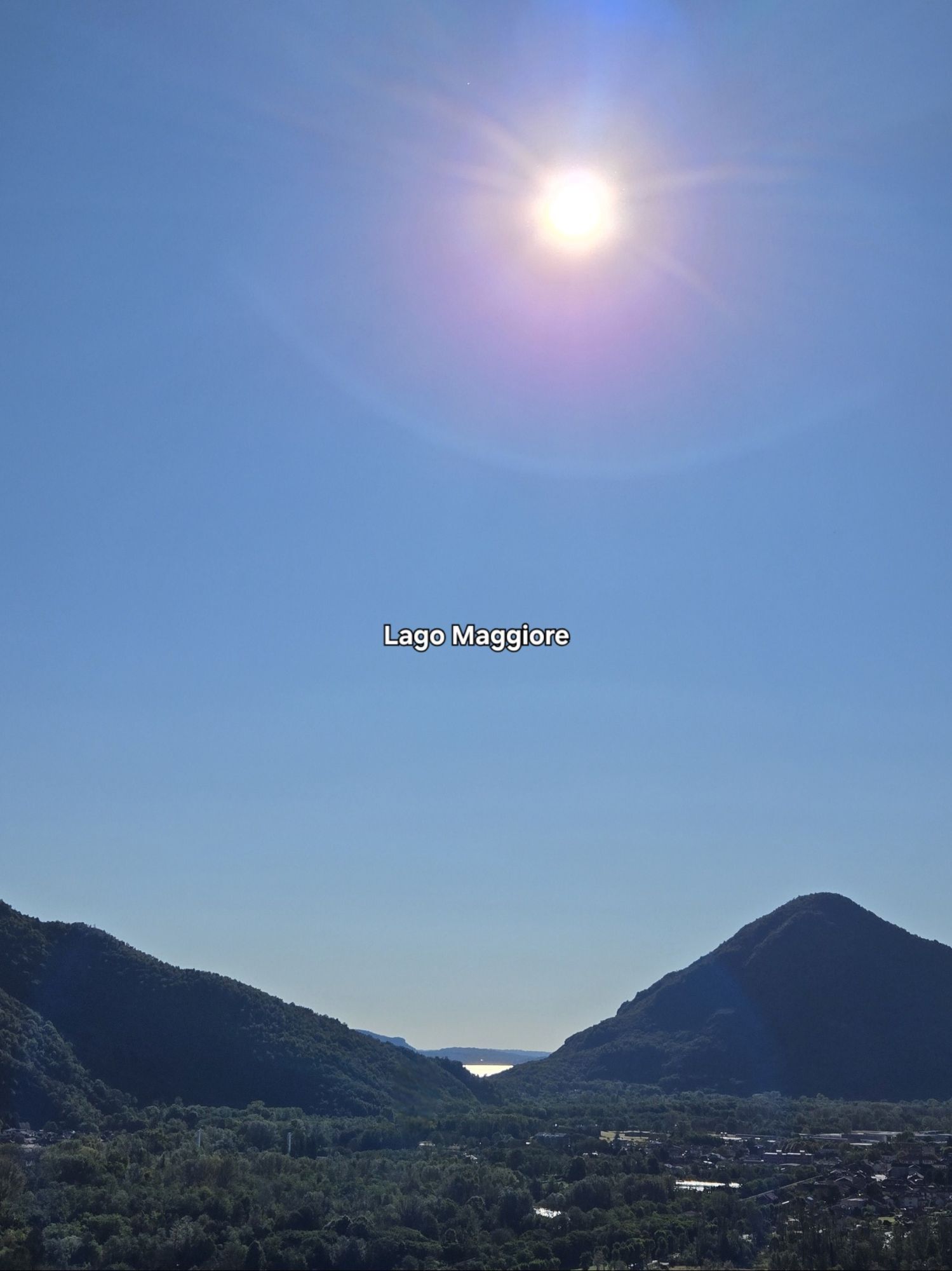
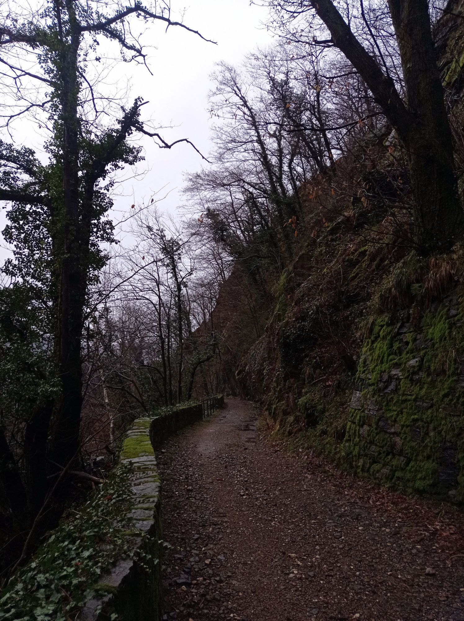
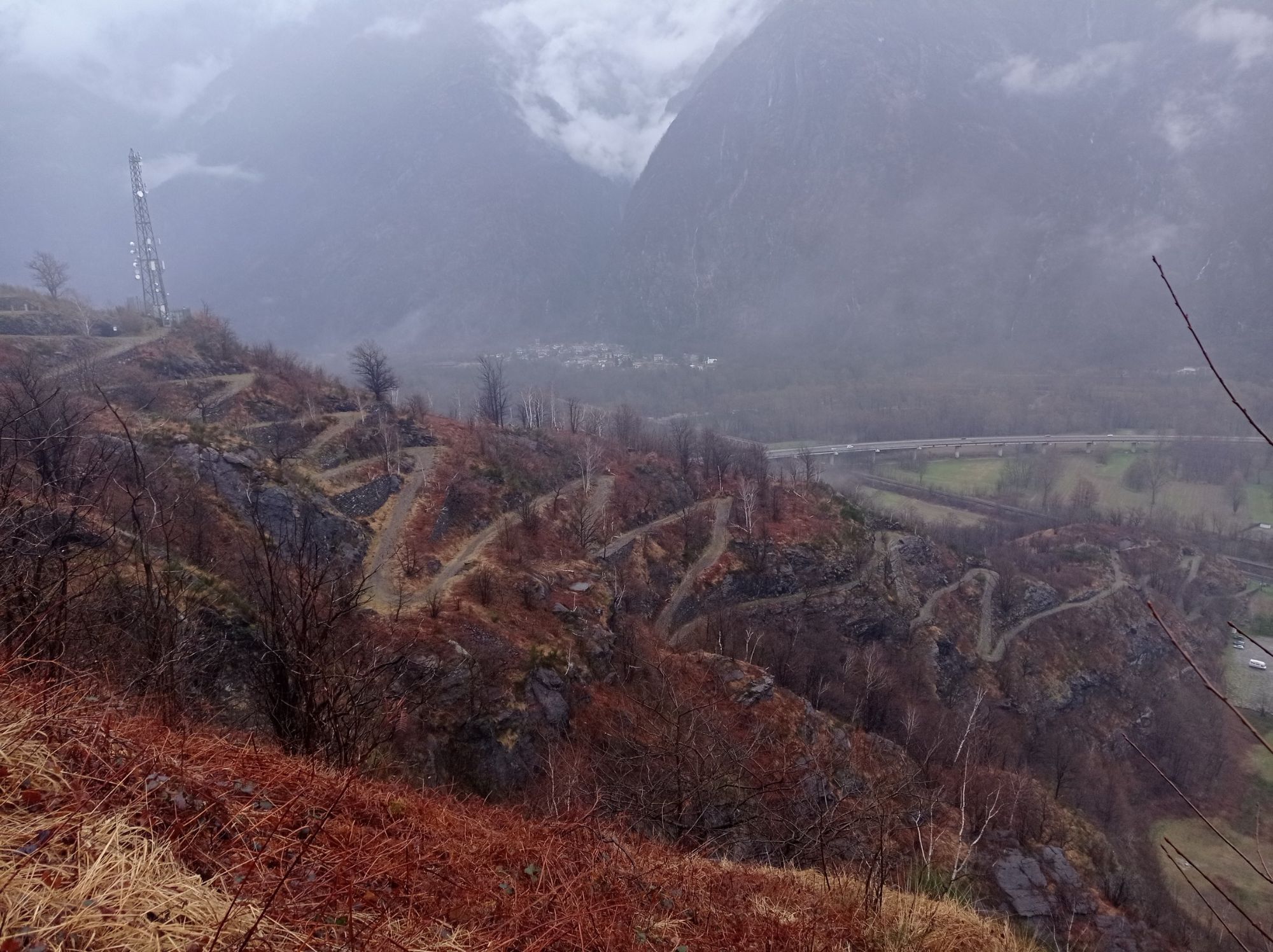
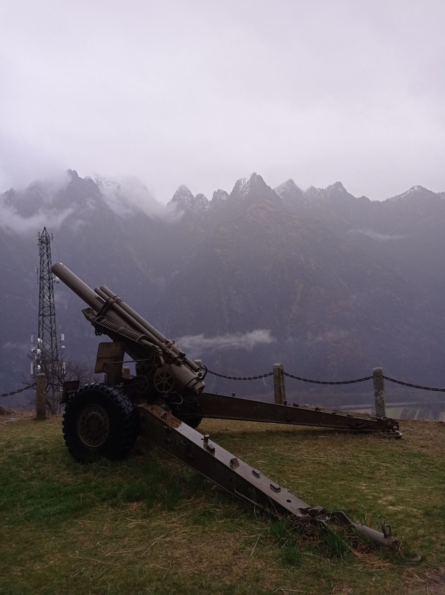
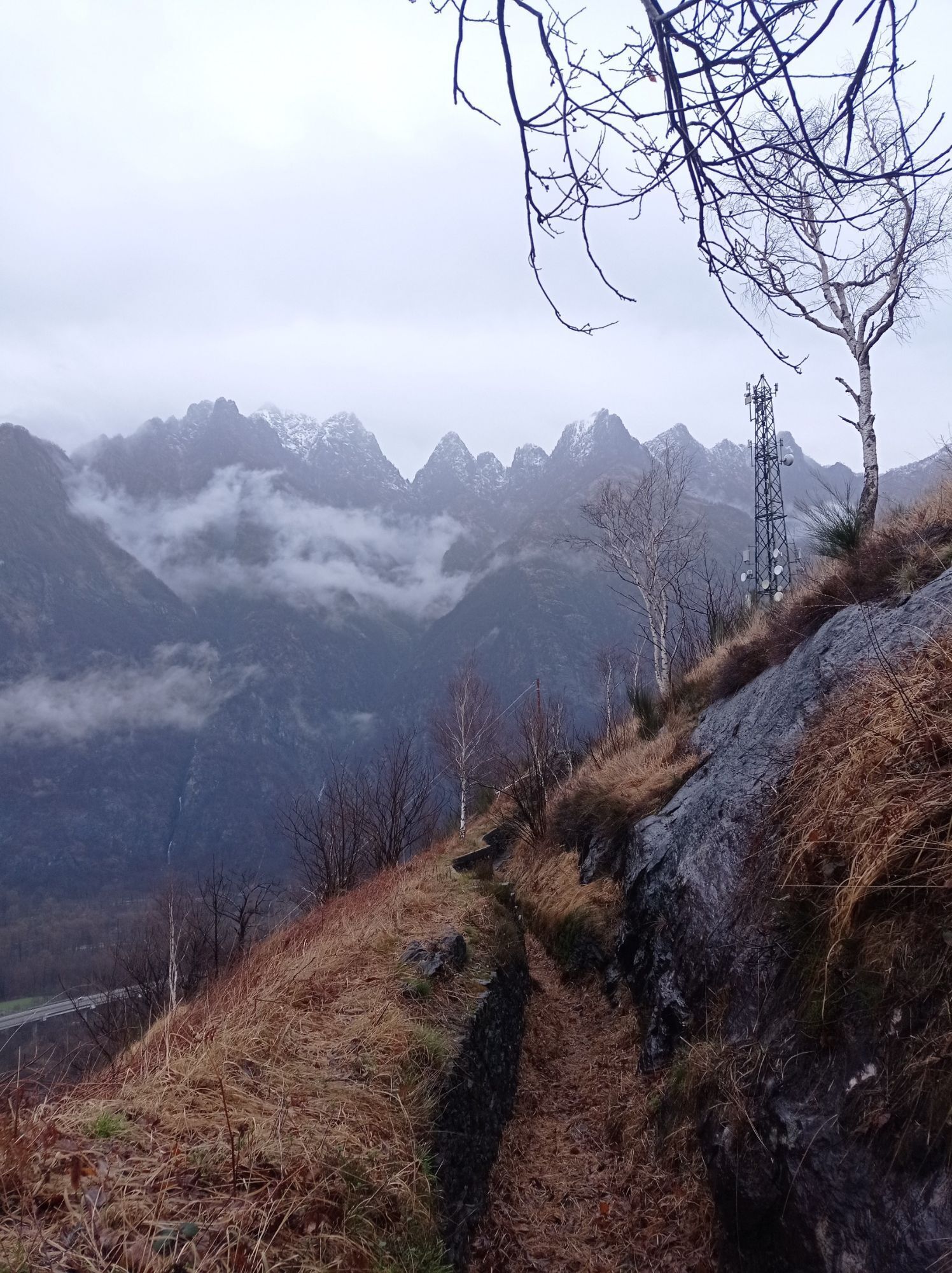
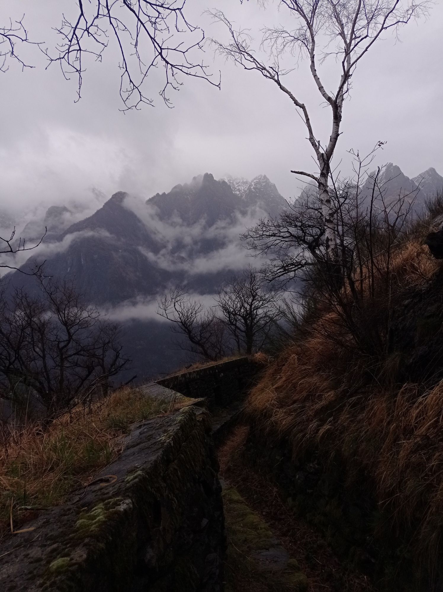
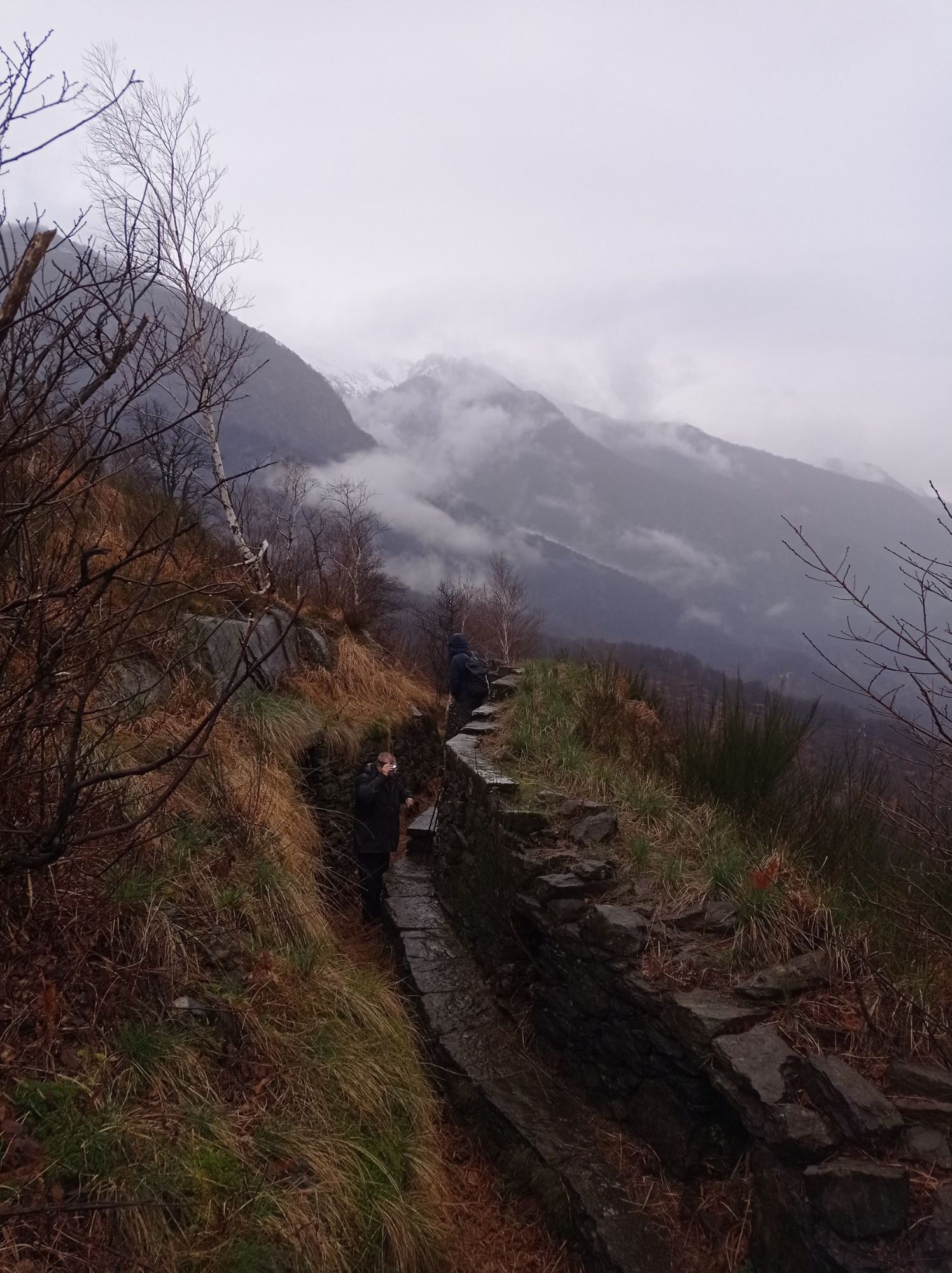
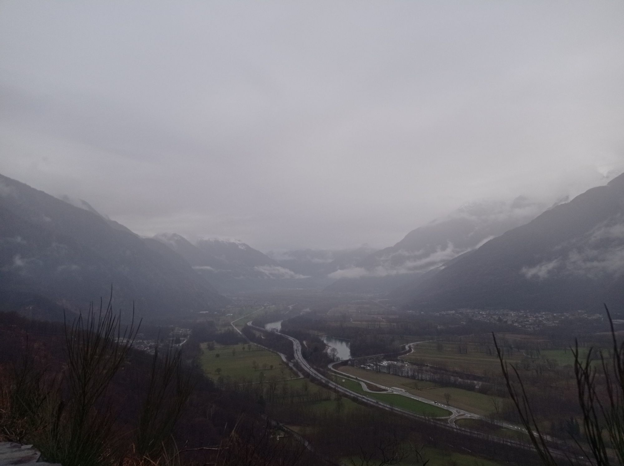
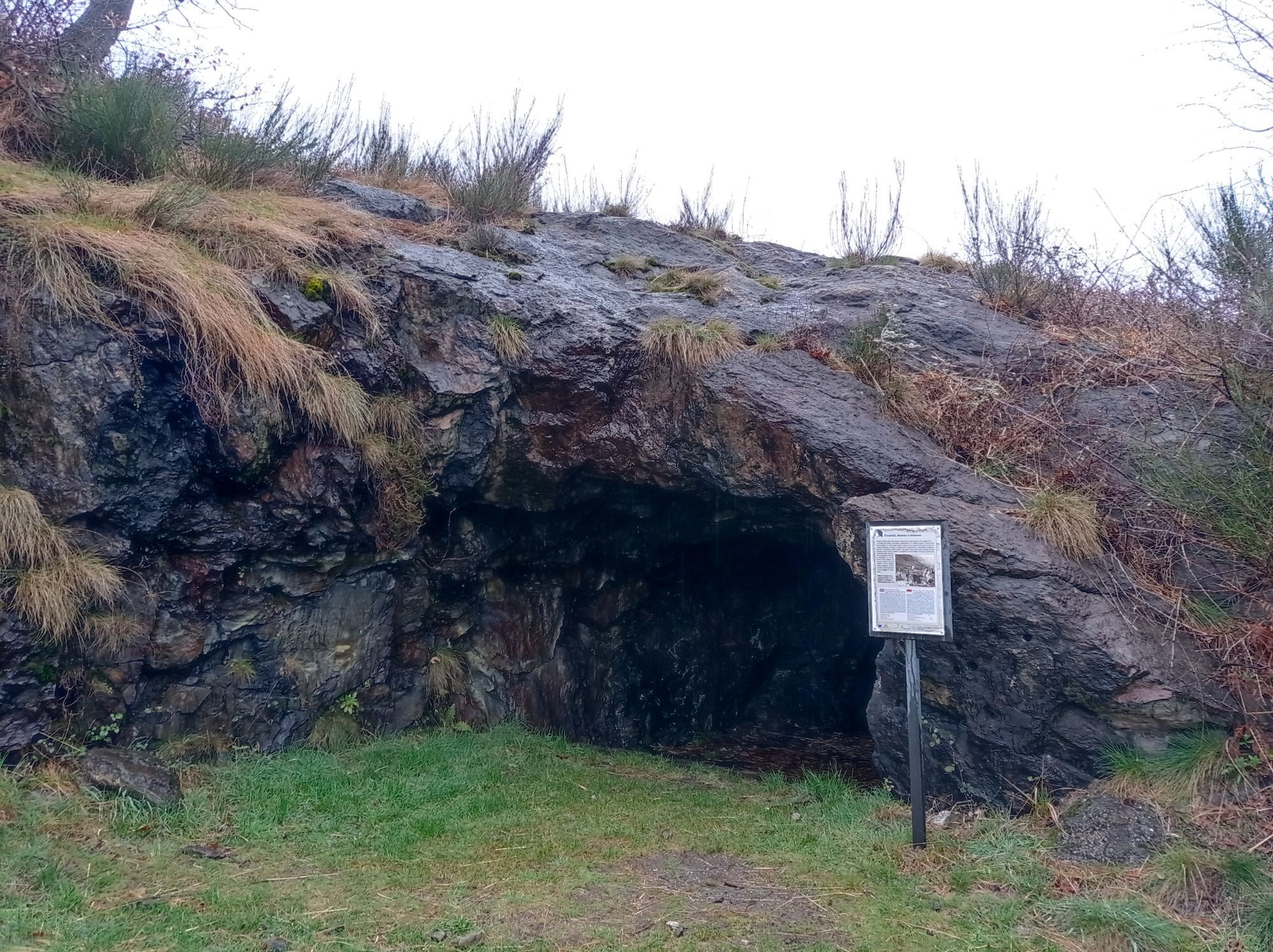
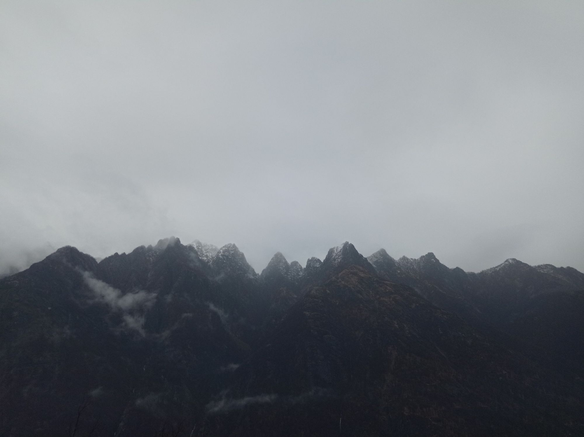
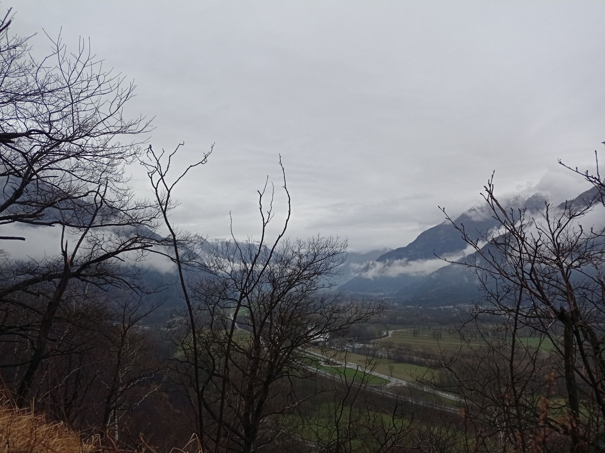
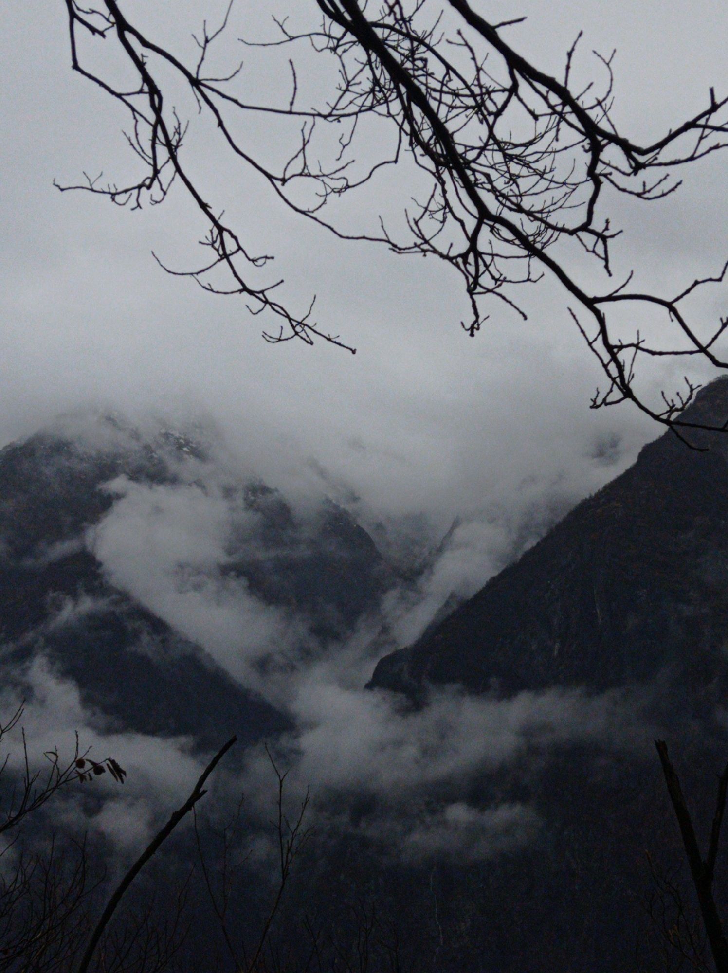
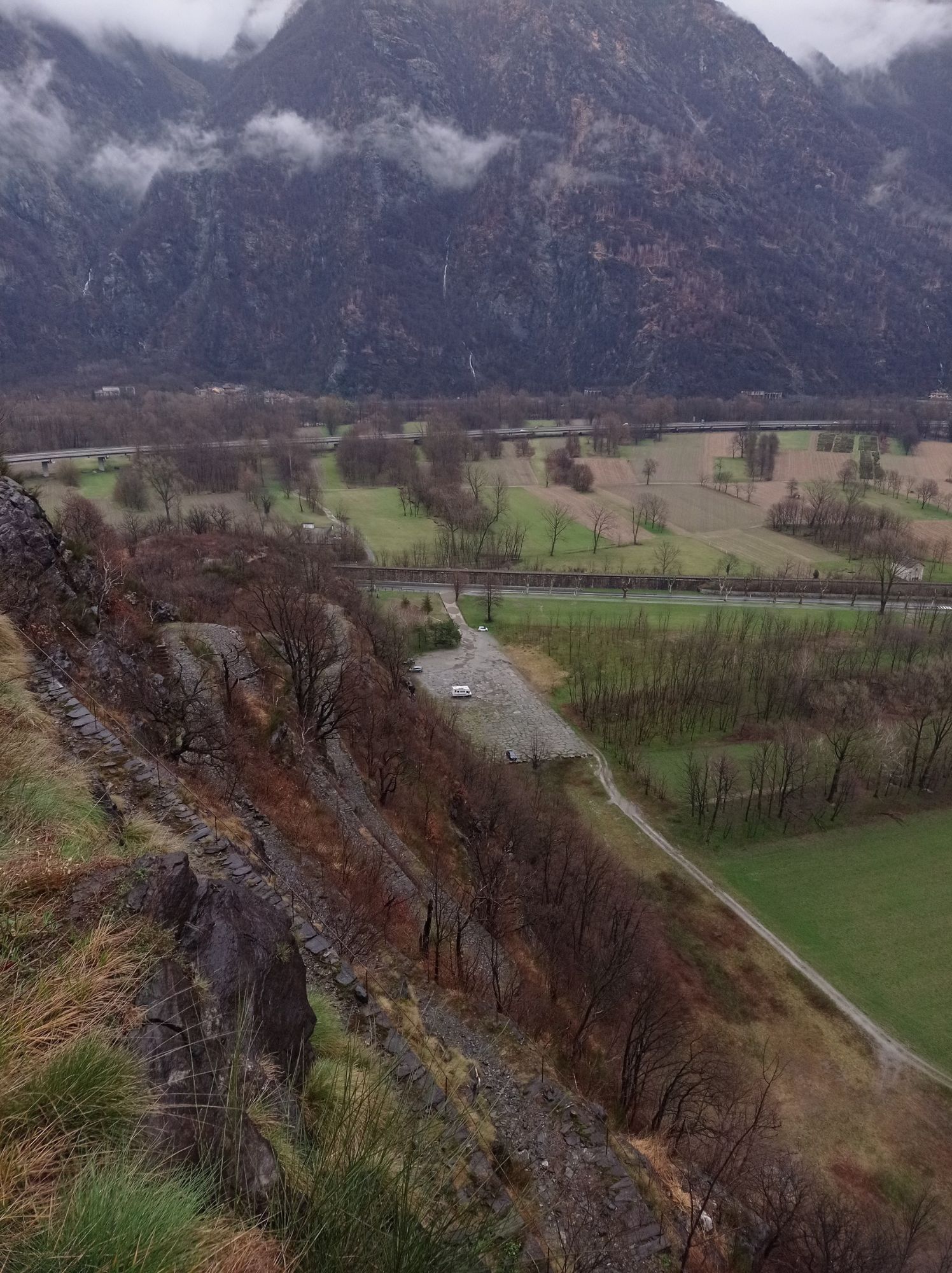
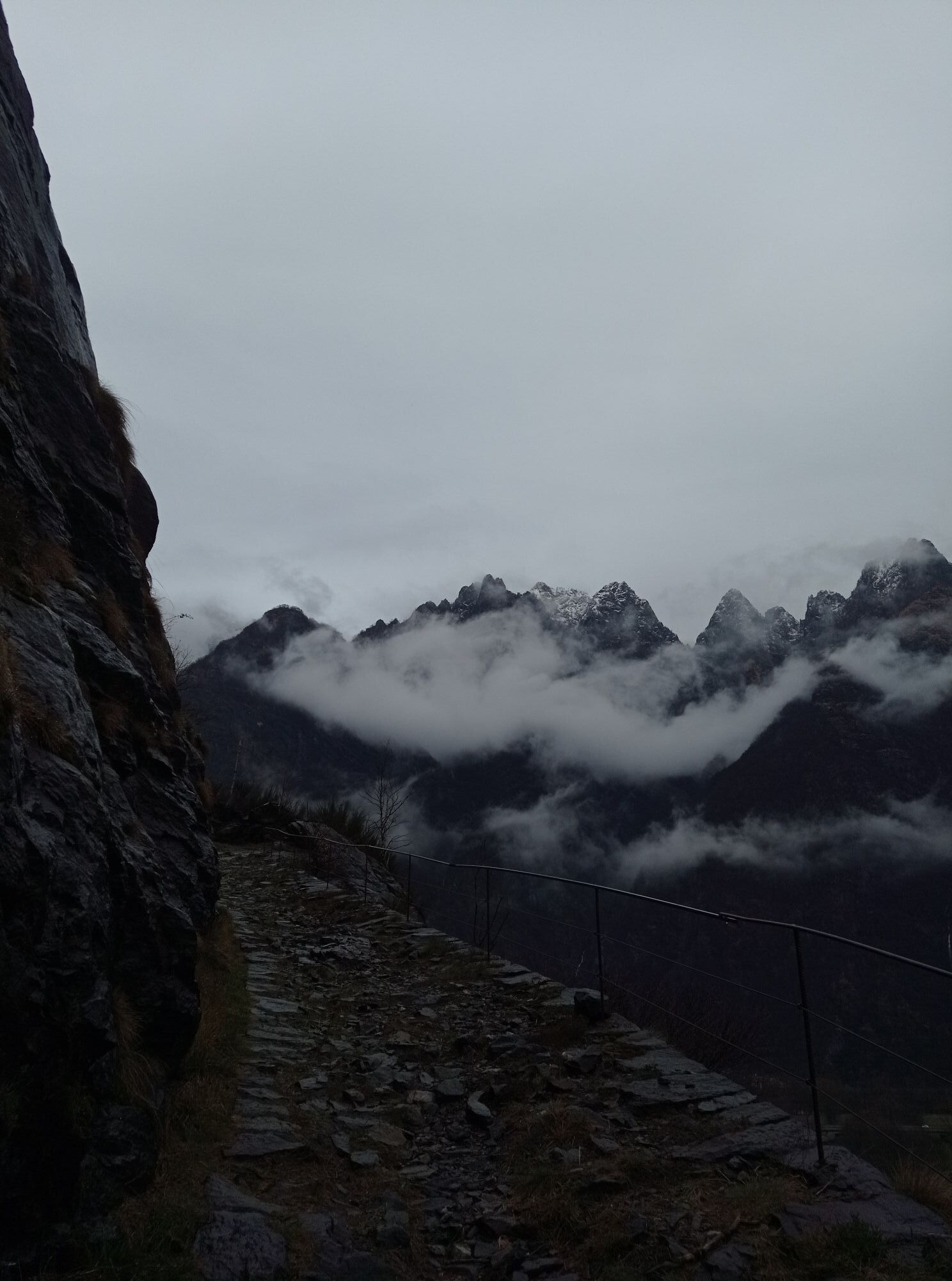
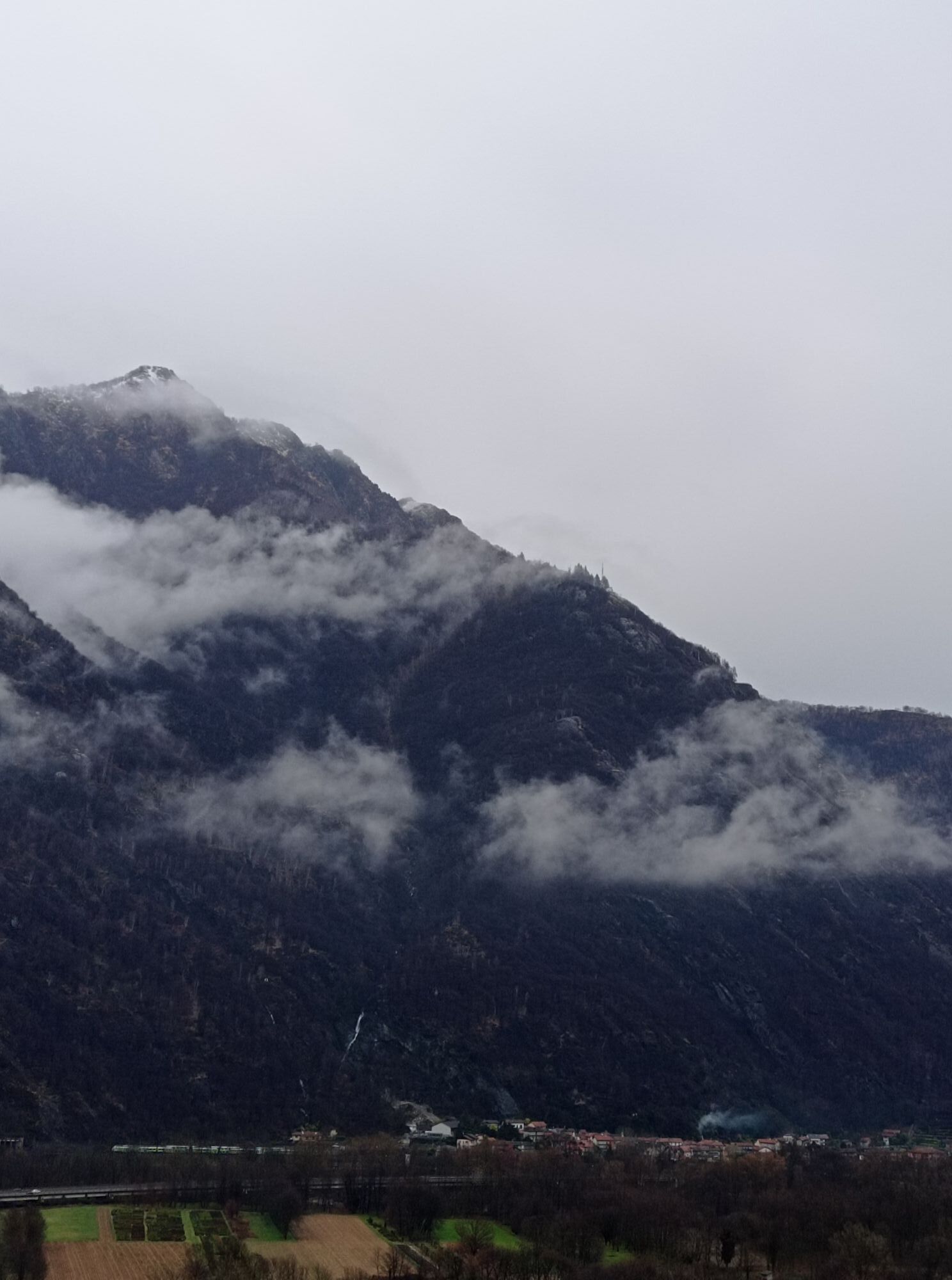
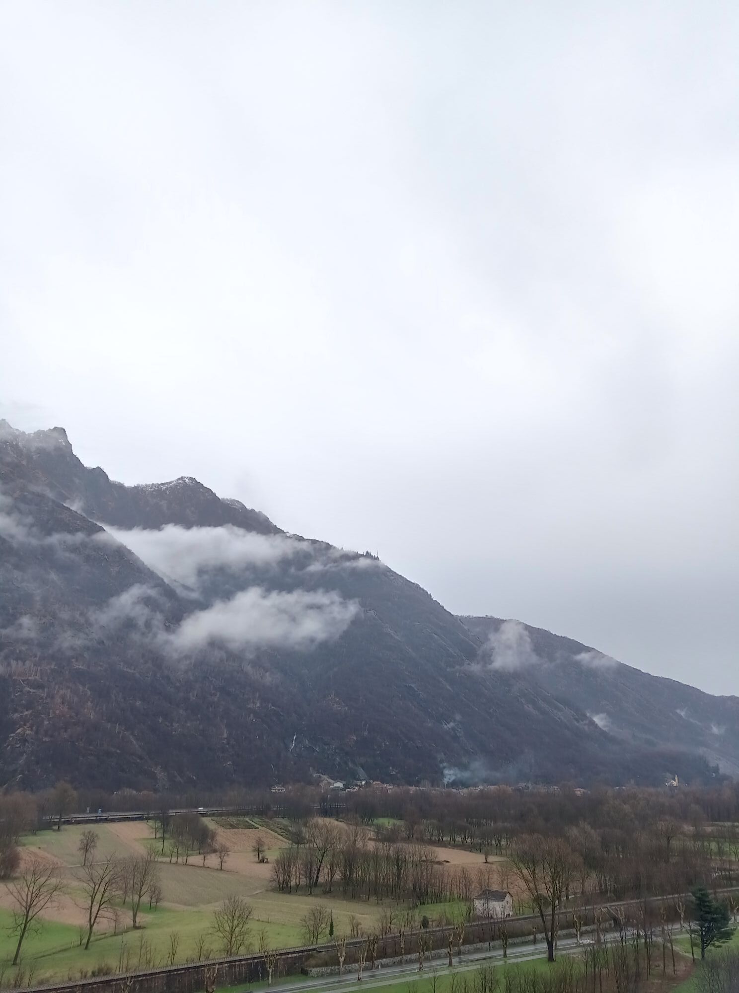
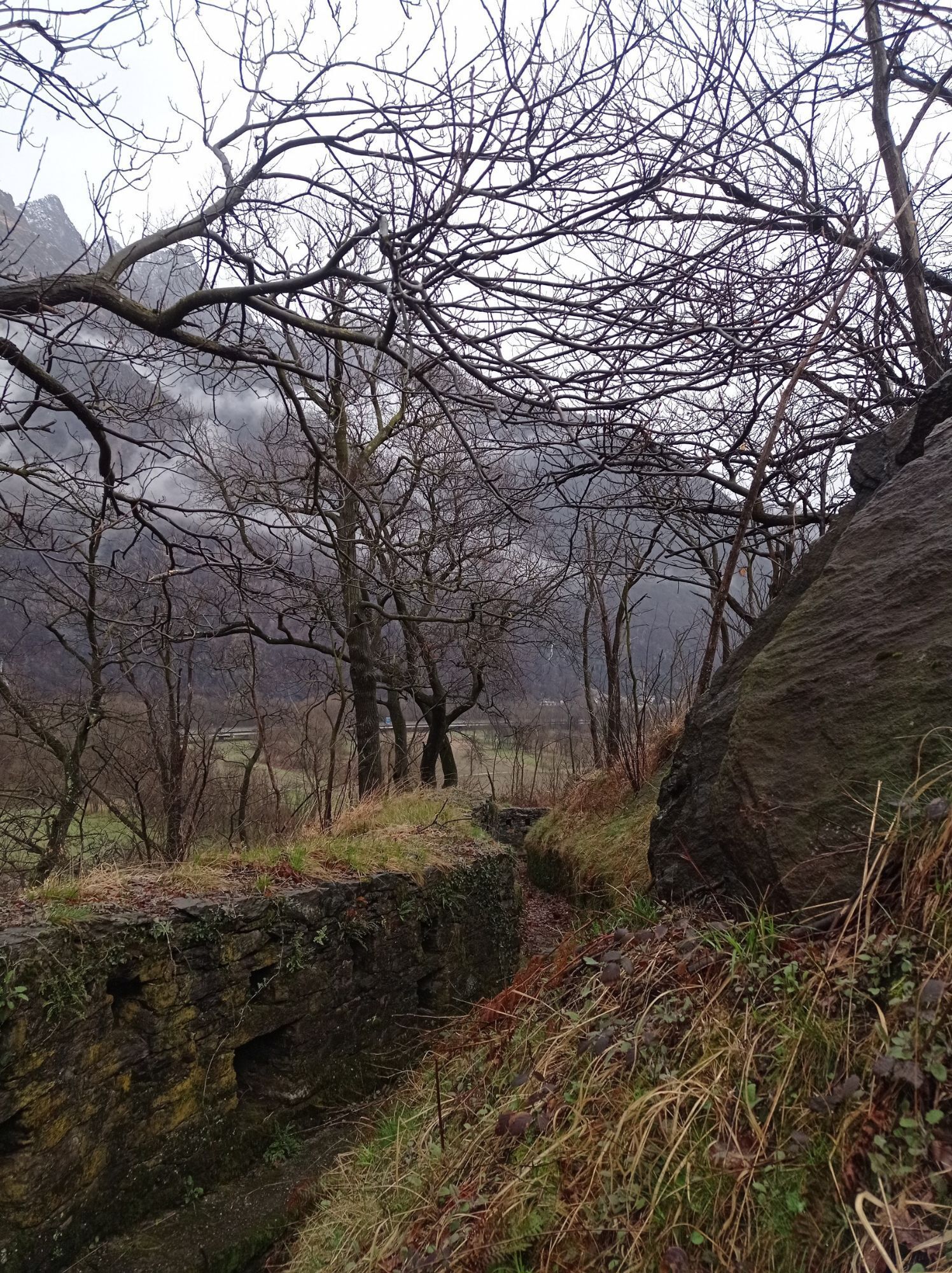
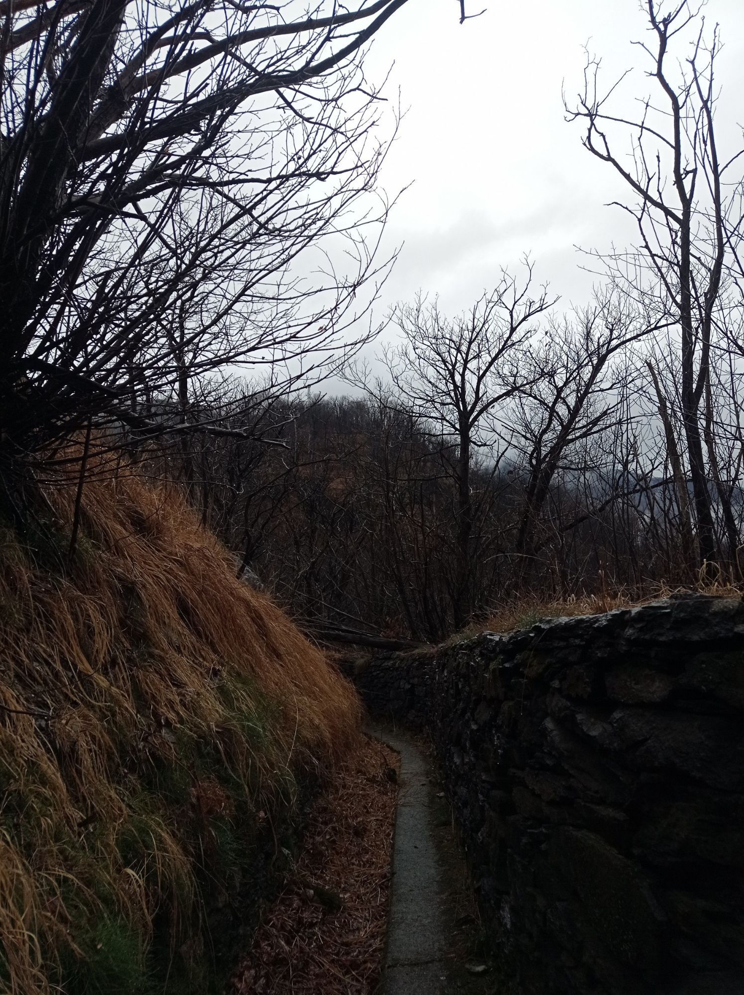
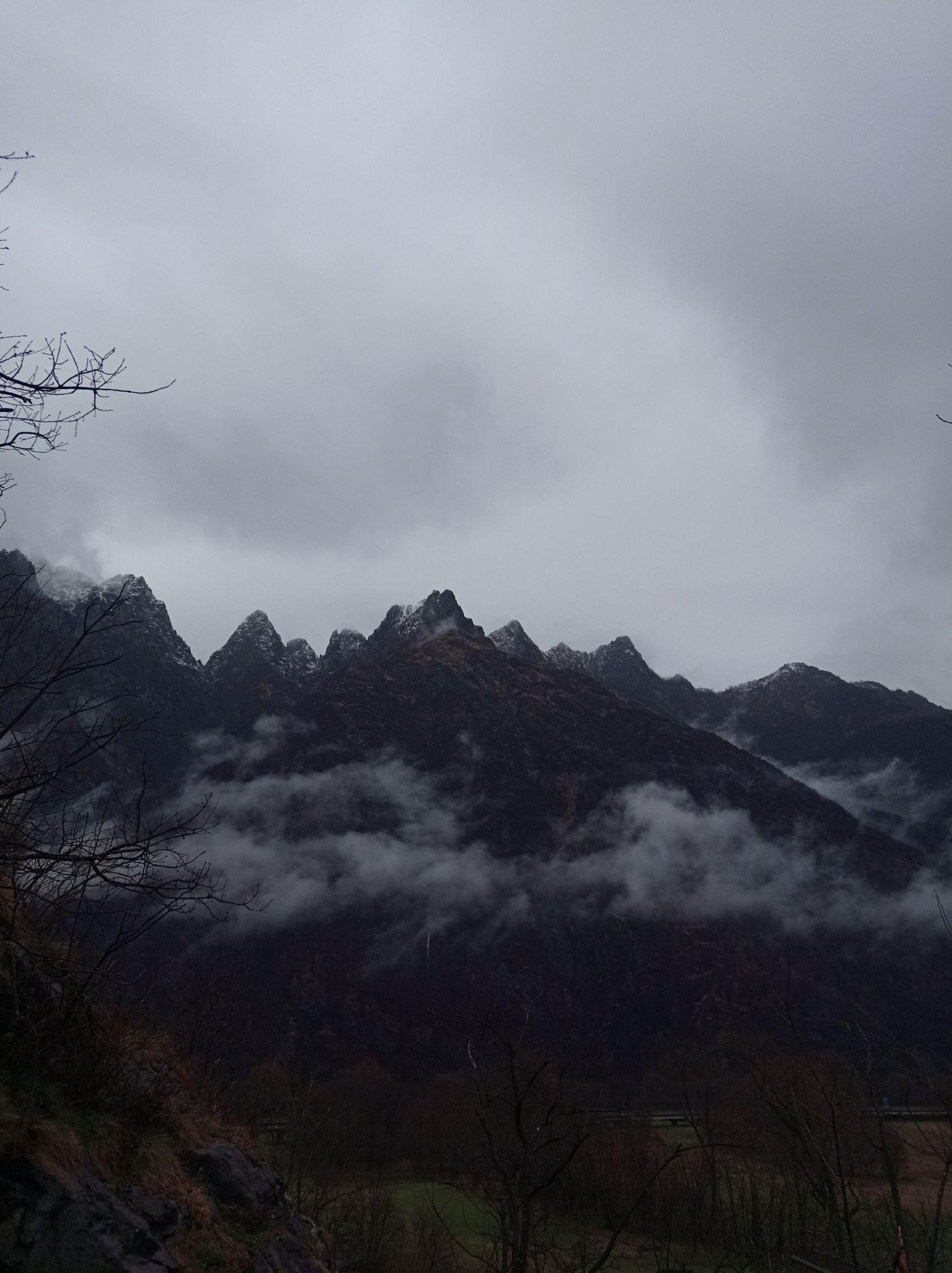
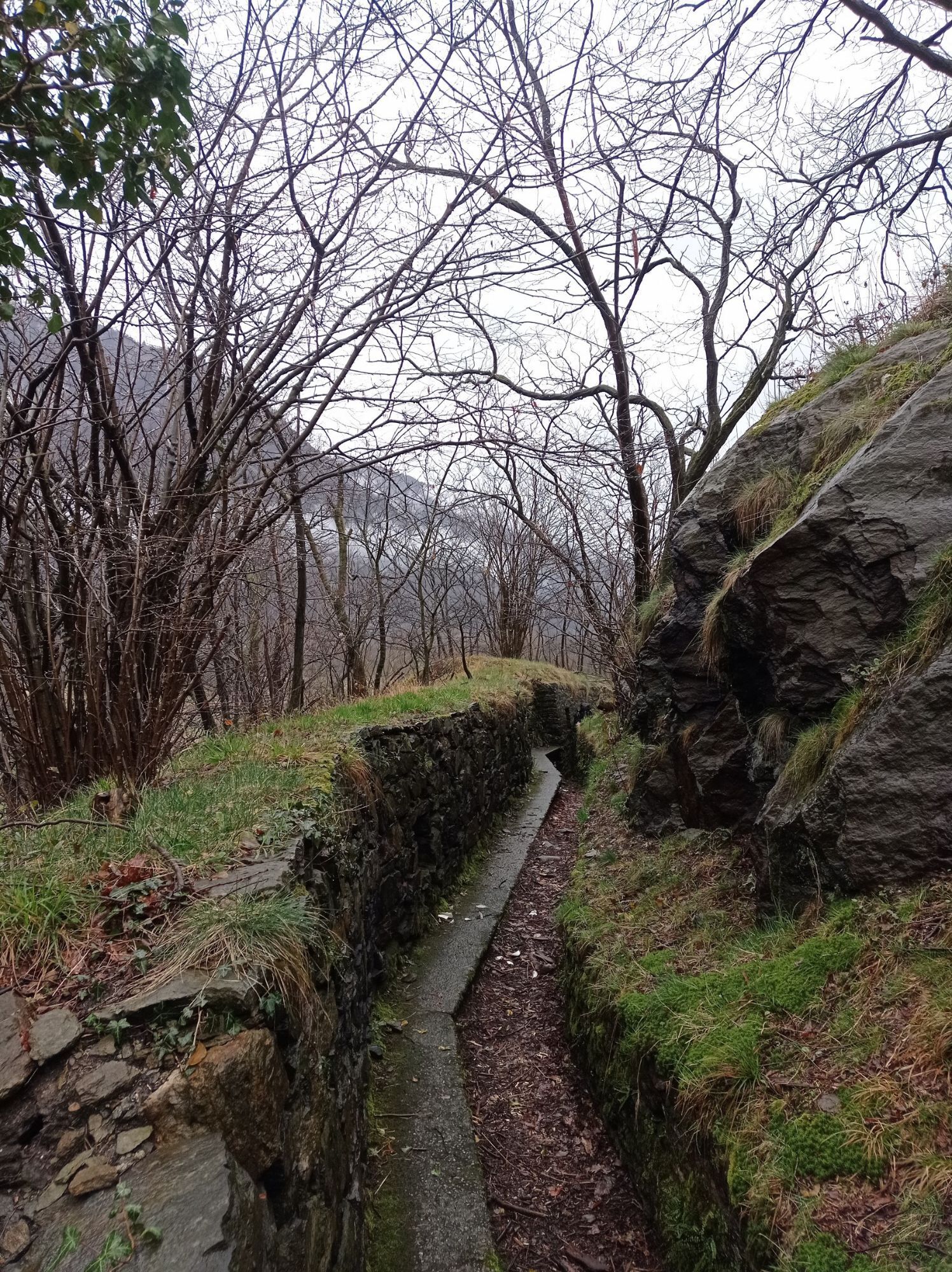
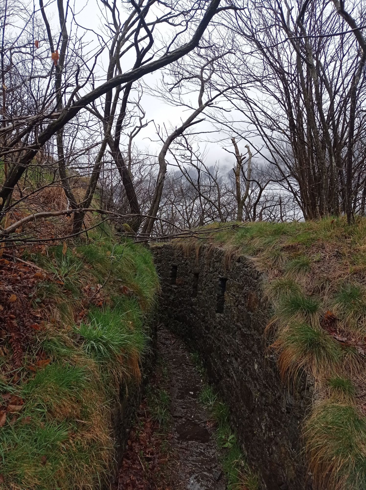
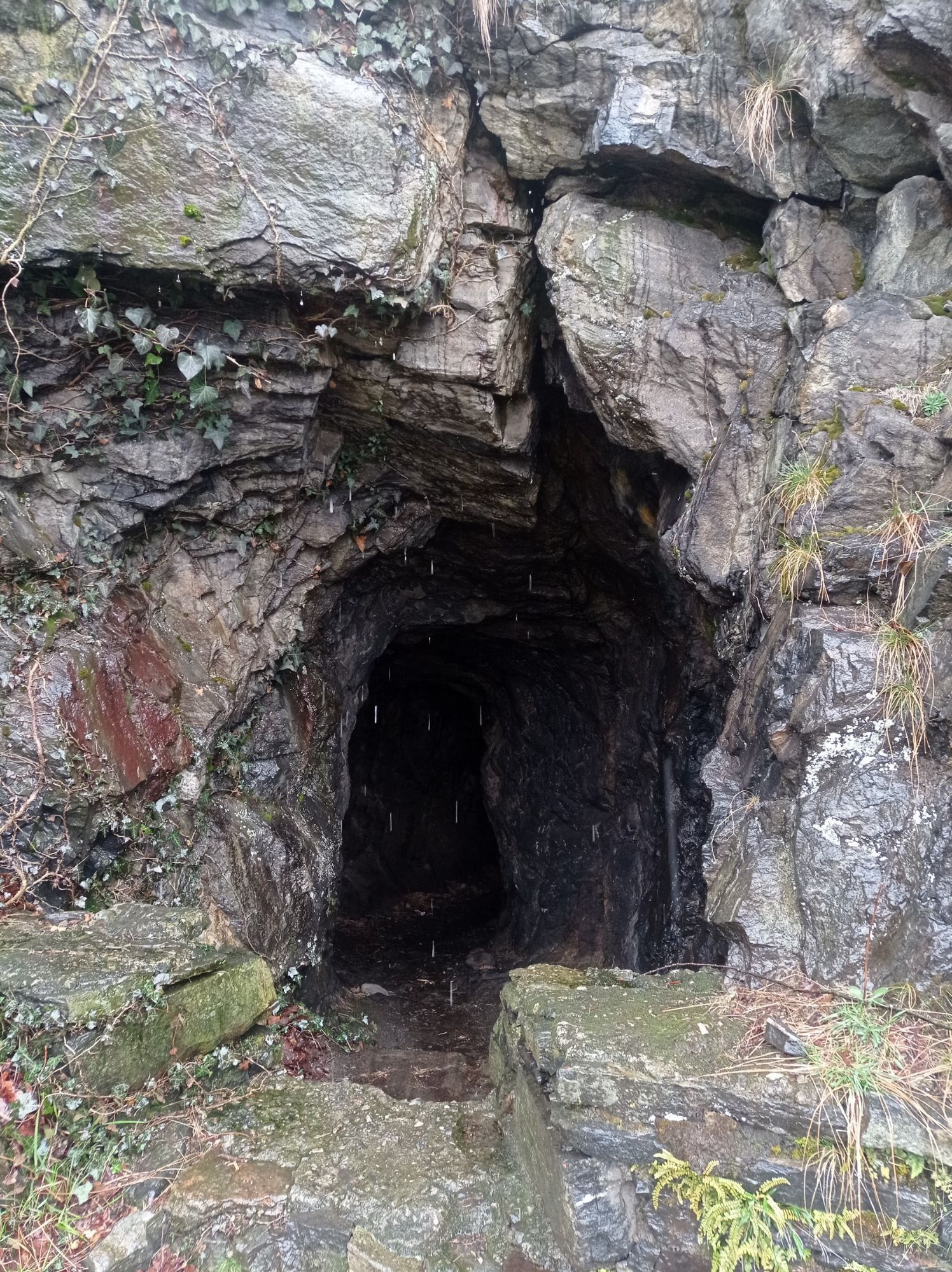
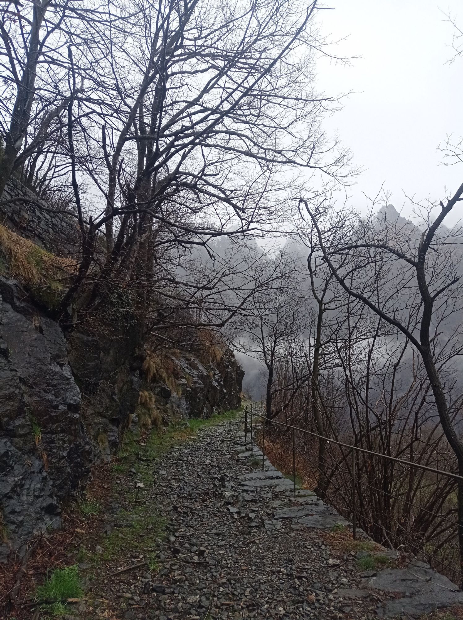
The well-preserved mule track develops with hairpin bends with a regular slope and with stone walls. Along the way you come across tunnels dug into the rock, trenches, communication trenches and machine...
A plaque commemorates the Battle of Ornavasso which was fought in October 1944 by the Alpini and the Partisans of the "Valtoce" formation against the Germans in defense of the Partisan Republic of Ossola

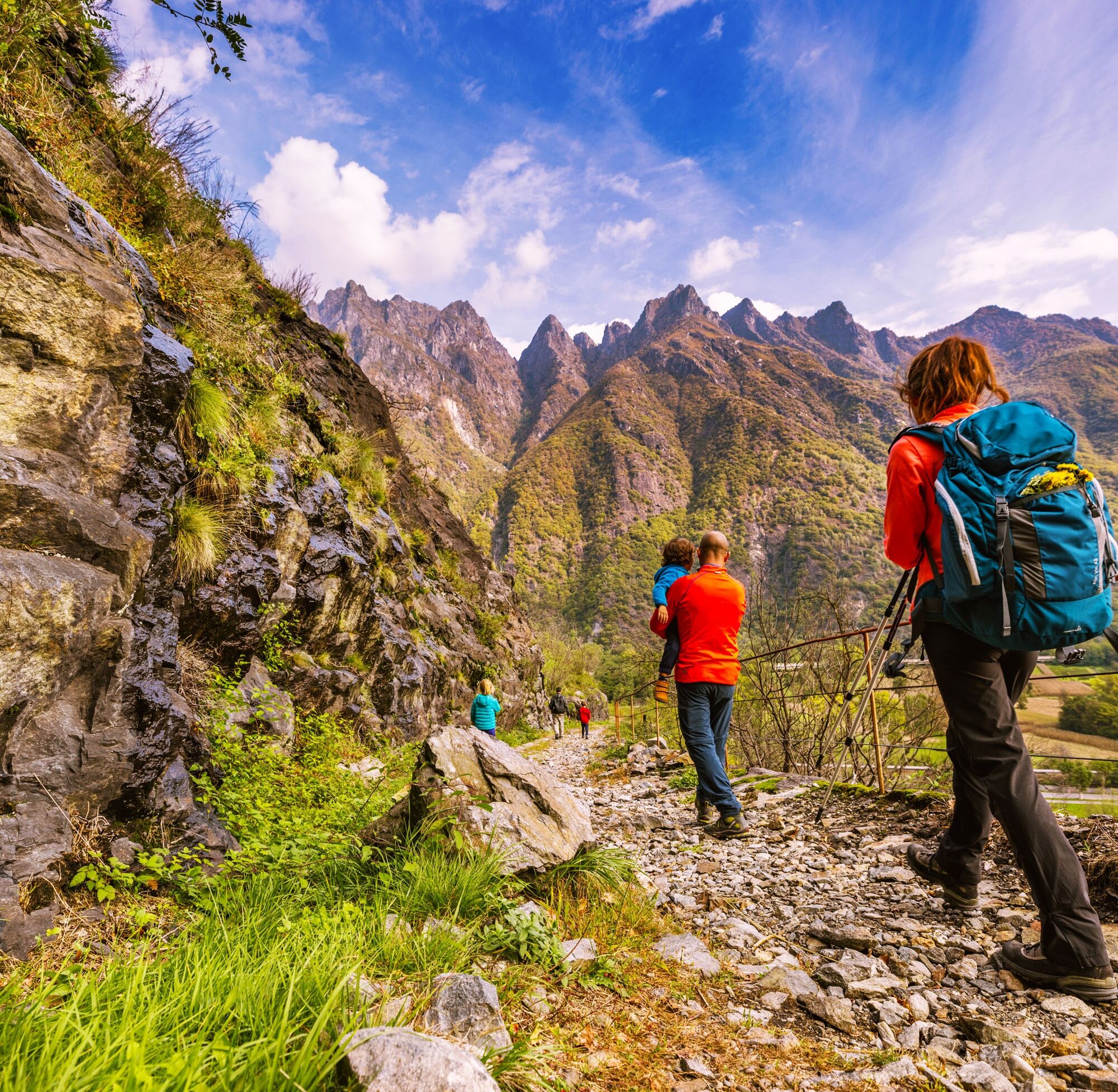

This section of the route begins in Ornavasso, in lower Ossola, at the Punta di Migiandone car park (210 m asl).
By car: A8 Milano-Laghi motorway – A 26 Voltri-Gravellona Toce motorway – Ornavasso exit (SS 33 del Sempione)
From Domodossola: SS 33 del Sempione (Ossola highway). Anzola d'Ossola or Ornavasso exit.
From Stresa or Verbania in the direction of Gravellona Toce / Domodossola
By train: Novara-Domodossola line – Ornavasso station – Milan-Domodossola line – Candoglia stop (footbridge over the Toce River).
The car park at Punta di Migiandone in Ornavasso is also the starting point of the route.
The route is equipped with educational panels on the Cadorna Line, useful for learning more about the history of the historic route.
To explore tunnels and trenches it is useful to have a flashlight with you.
Popularne wycieczki w okolicy
-
4,0
Cicogna, Strada Sutermeister, Alpe Pogallo, Alpe Pra, Cicogna
średniWędrówka 9,83 km -
Tour of Lake Orta
światłoMountainbike 35,4 km -
4,2
Um den Lago di Mergozzo
Wędrówka 7,93 km -
Monte Faiè
średniWędrówka 6,37 km -
4,3
Pian Cavallone
światłoWędrówka 7,55 km -
5,0
Baveno - Monte Camoscio - Monte Crocino - Stresa
ciężkiWędrówka 10,7 km -
2,0
Alpe Quaggione - Monte Massone - Alpe Quaggione
średniWędrówka 15,8 km -
5,0
Val Pale - Pizzo Pernice, Piemonte/Italia
średniWędrówka 6,14 km -
5,0
Wanderung mit dem Kindern 👍
Wycieczki górskie 5,61 km -
4,0
Montofano - Mergozzo, Piemonte/Italia
średniWędrówka 8,61 km
Wędrówki i tropienie


Nie przegap ofert i inspiracji na następne wakacje
Twój adres e-mail została dodana do listy mailingowej.





