







Historic Mountain Routes | Cadorna Line Stage 3 | Pian Cavallo-Morissolo

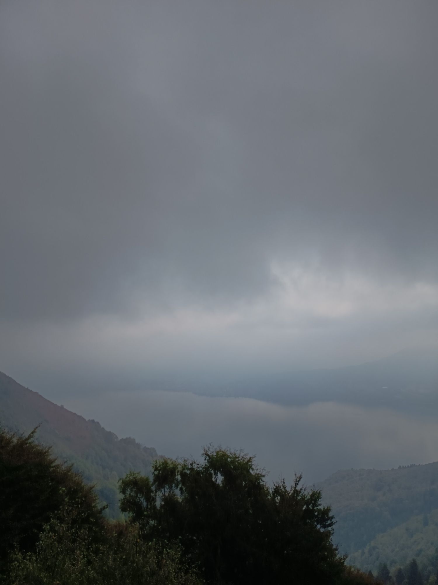
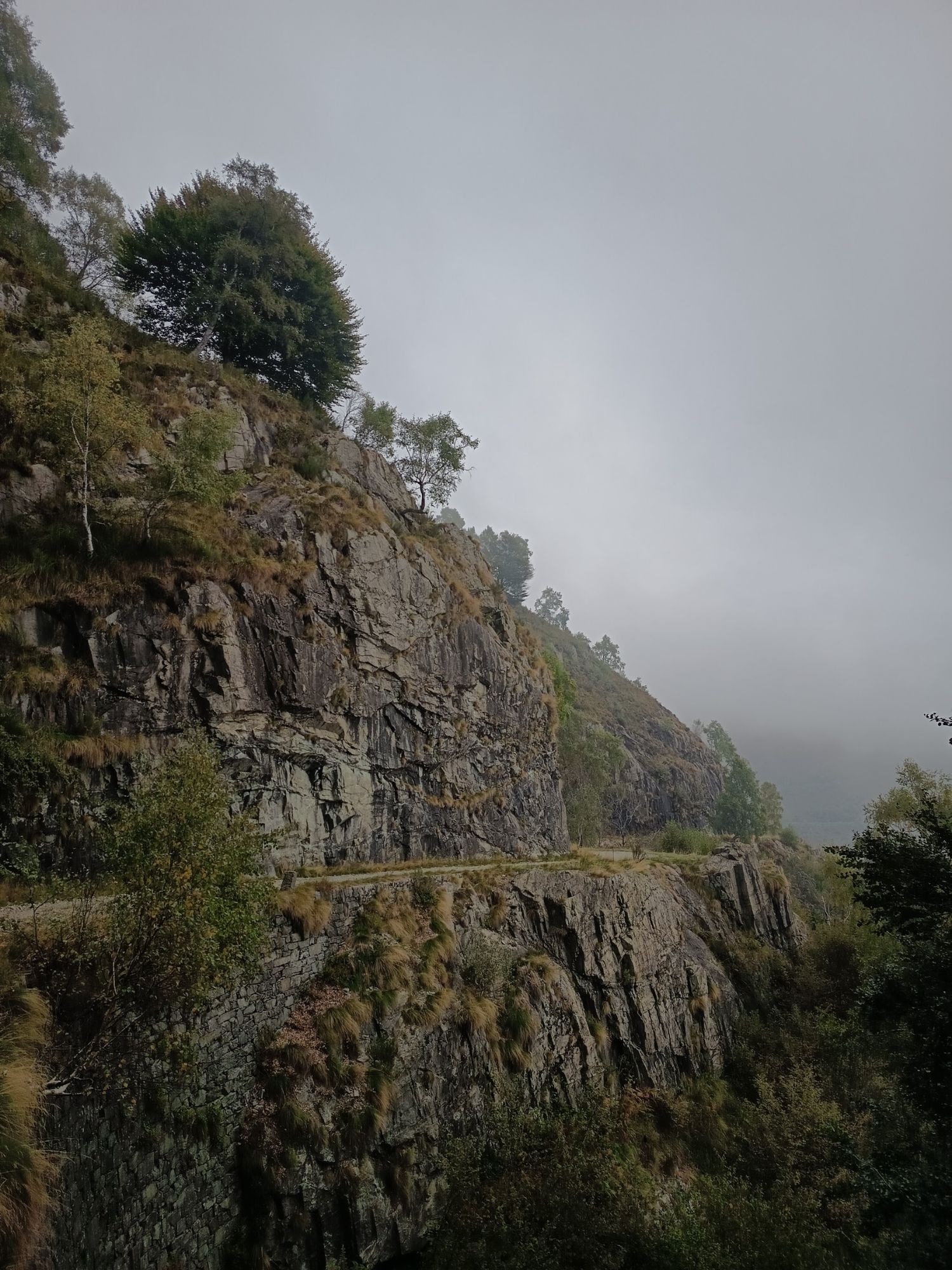

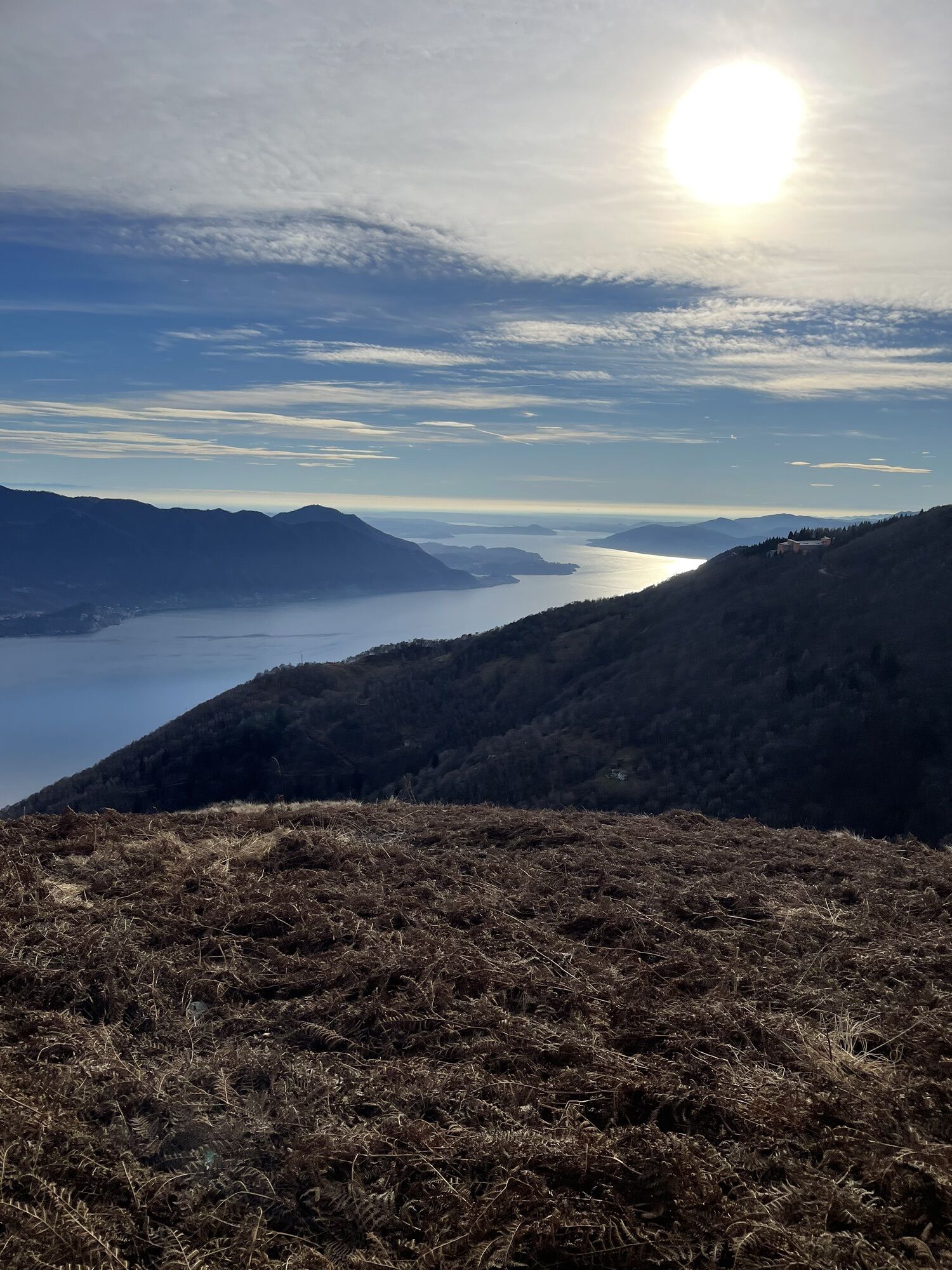
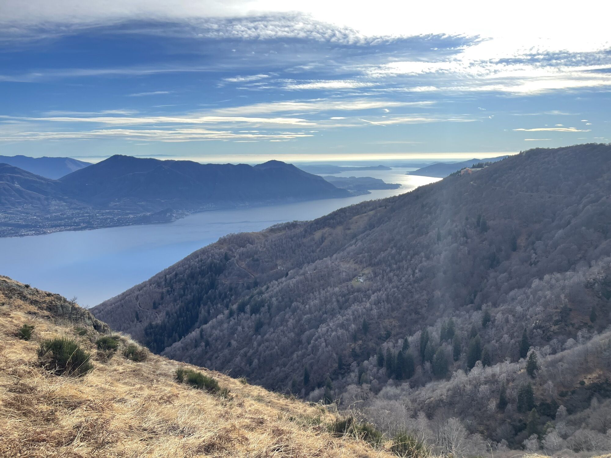
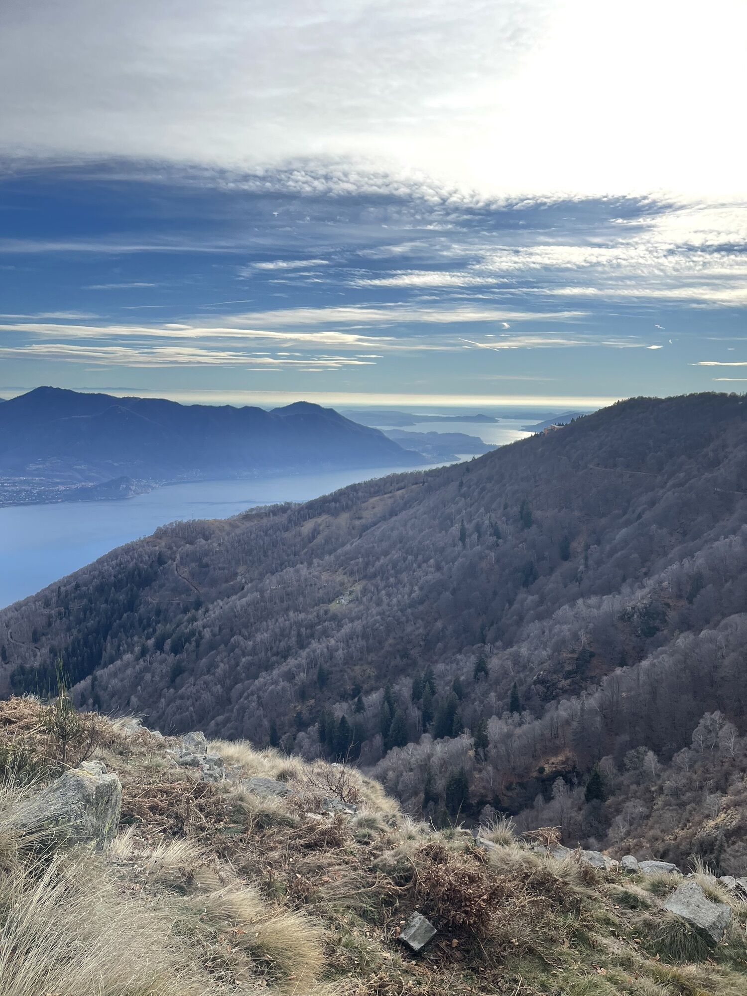
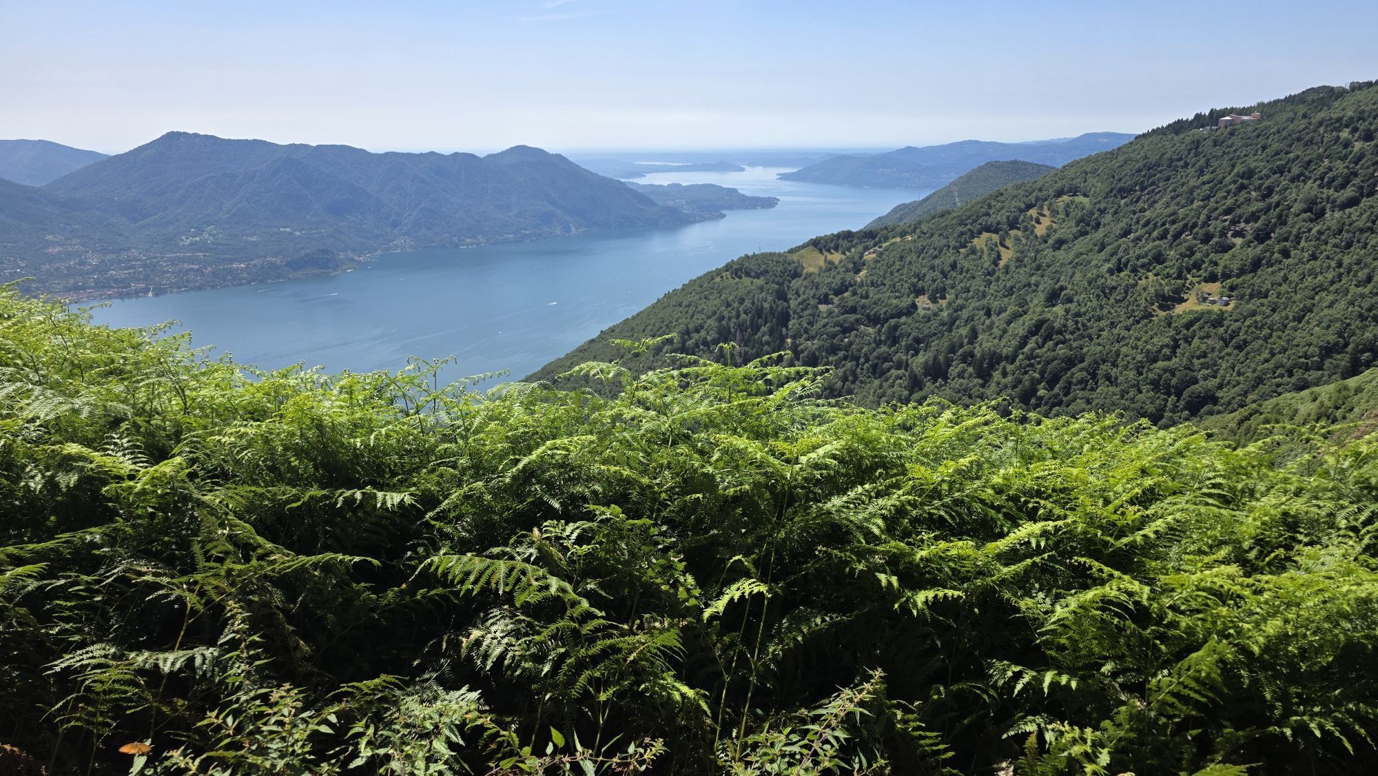
This section begins in Piancavallo (1247 m asl) in Upper Verbano, following the road to Colle. After the Ospedale Auxologico, take the dirt road to the right following the signs for the Gallerie del Monte...
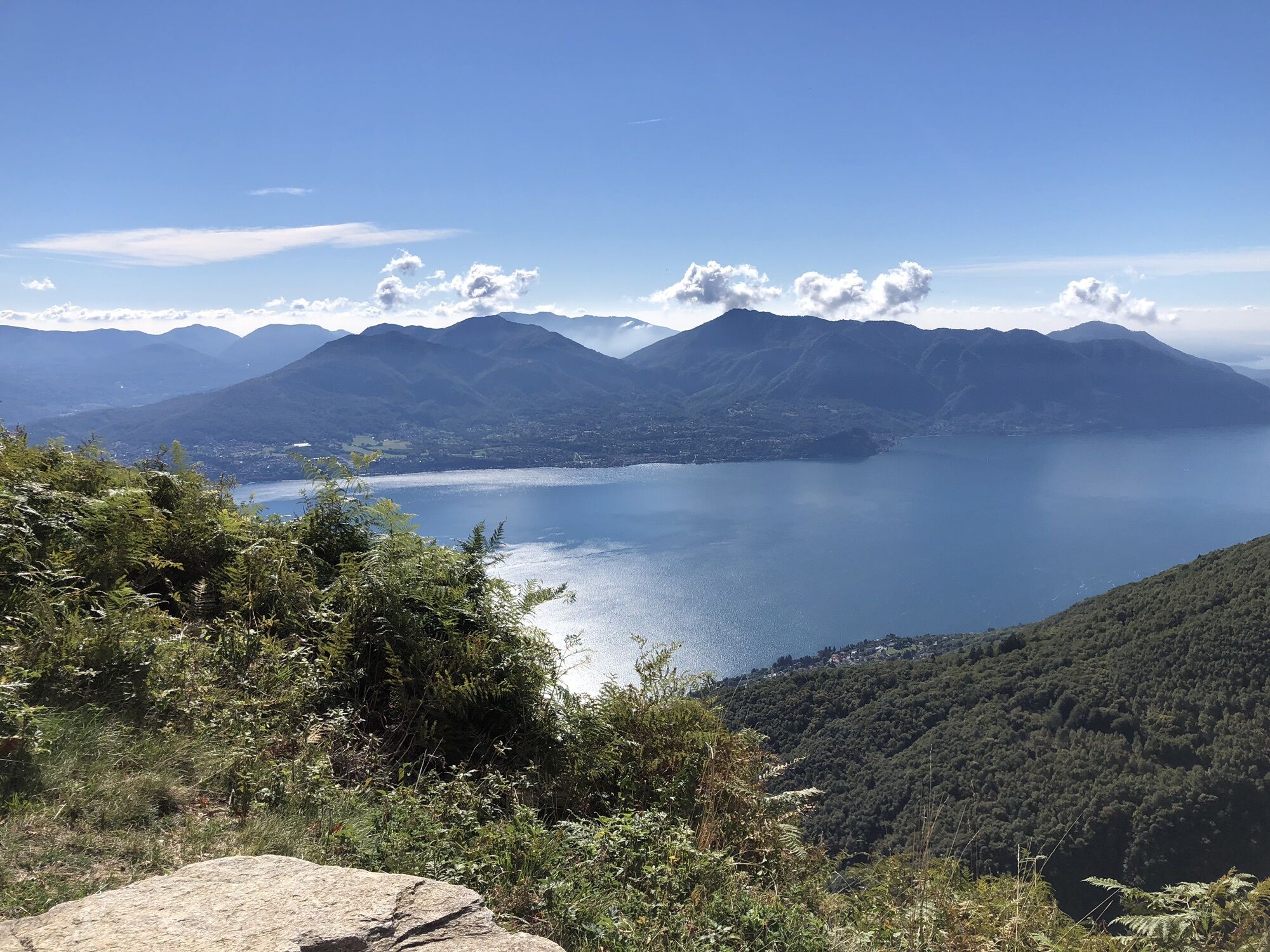
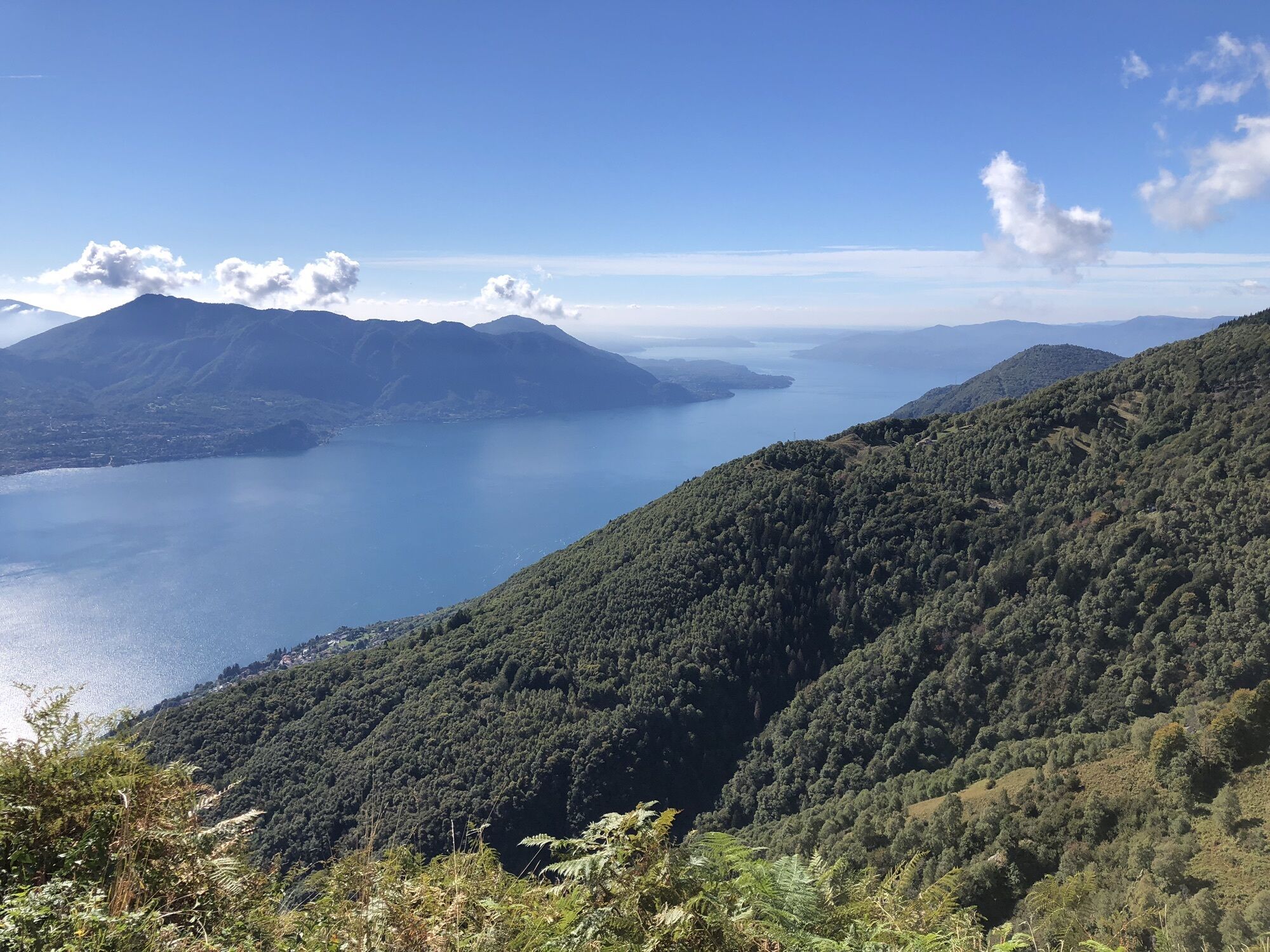
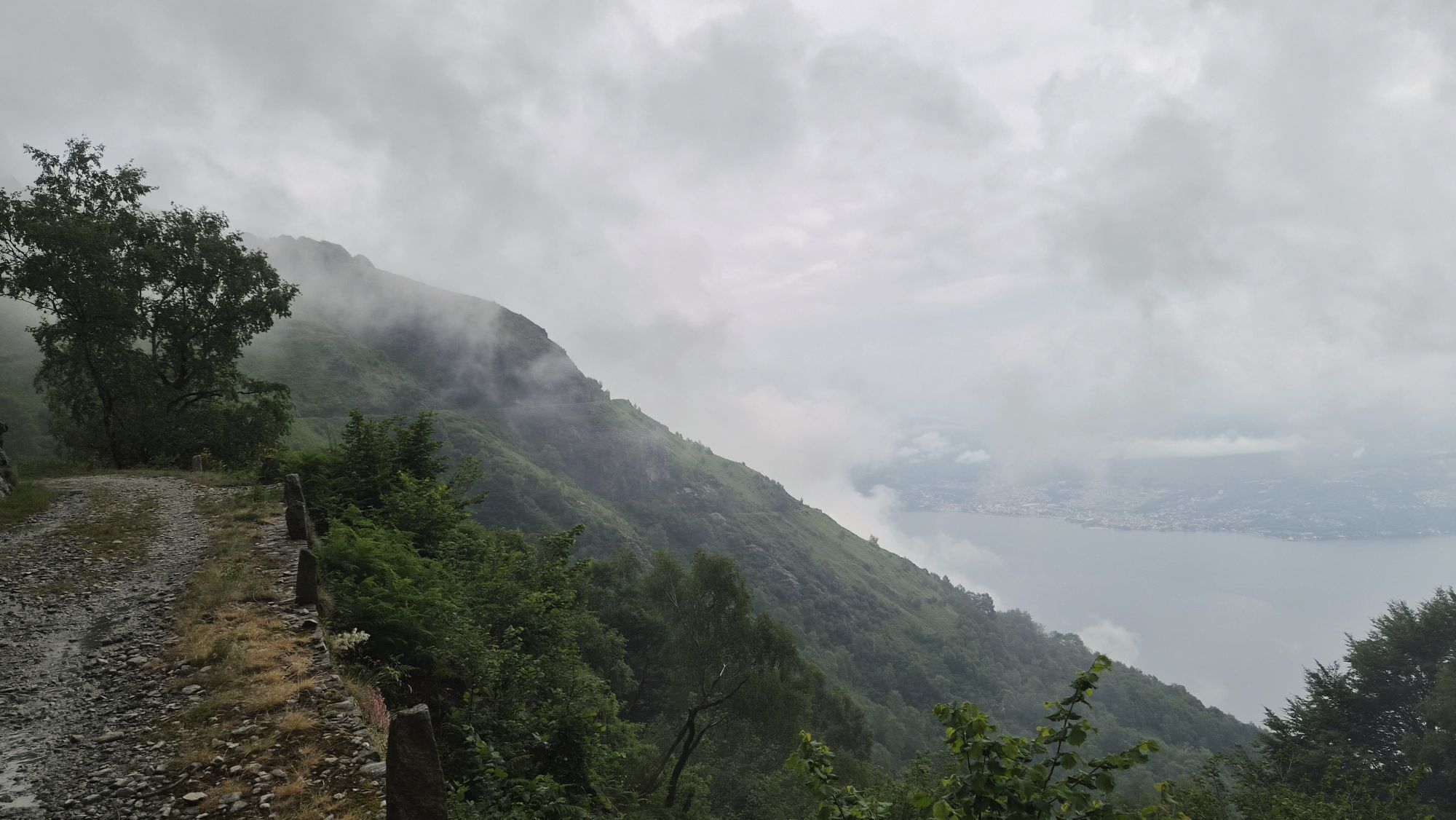
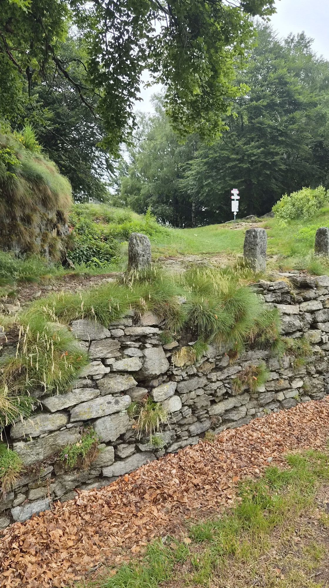
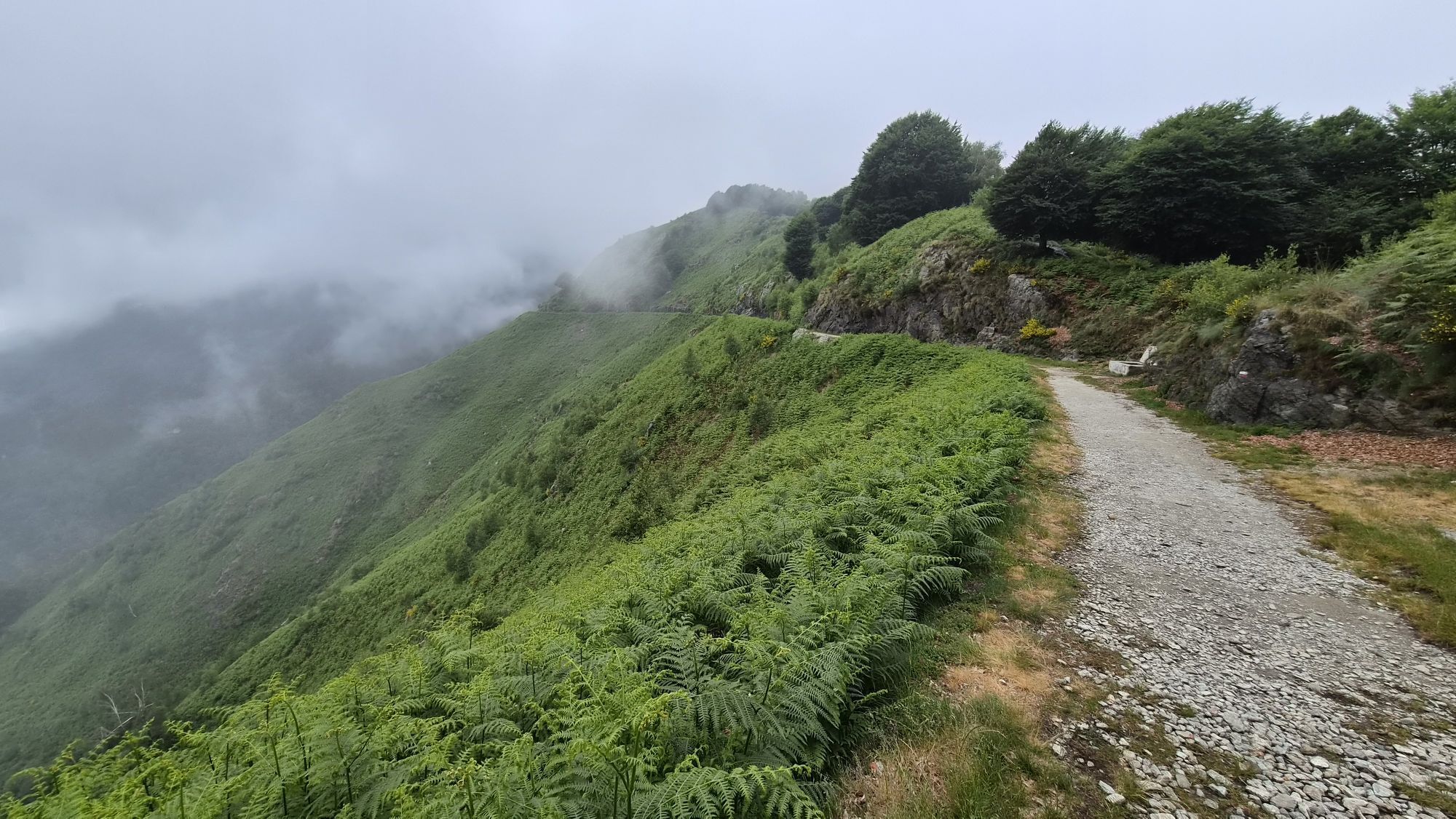
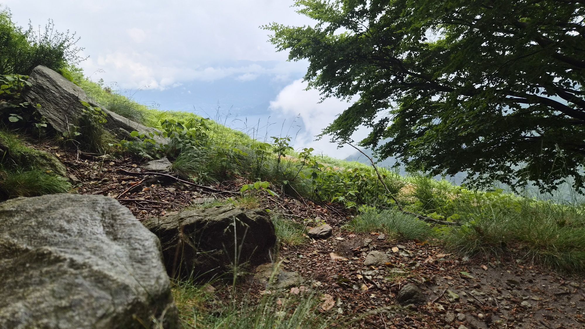
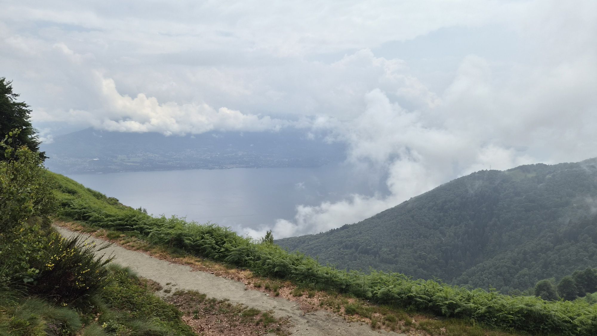
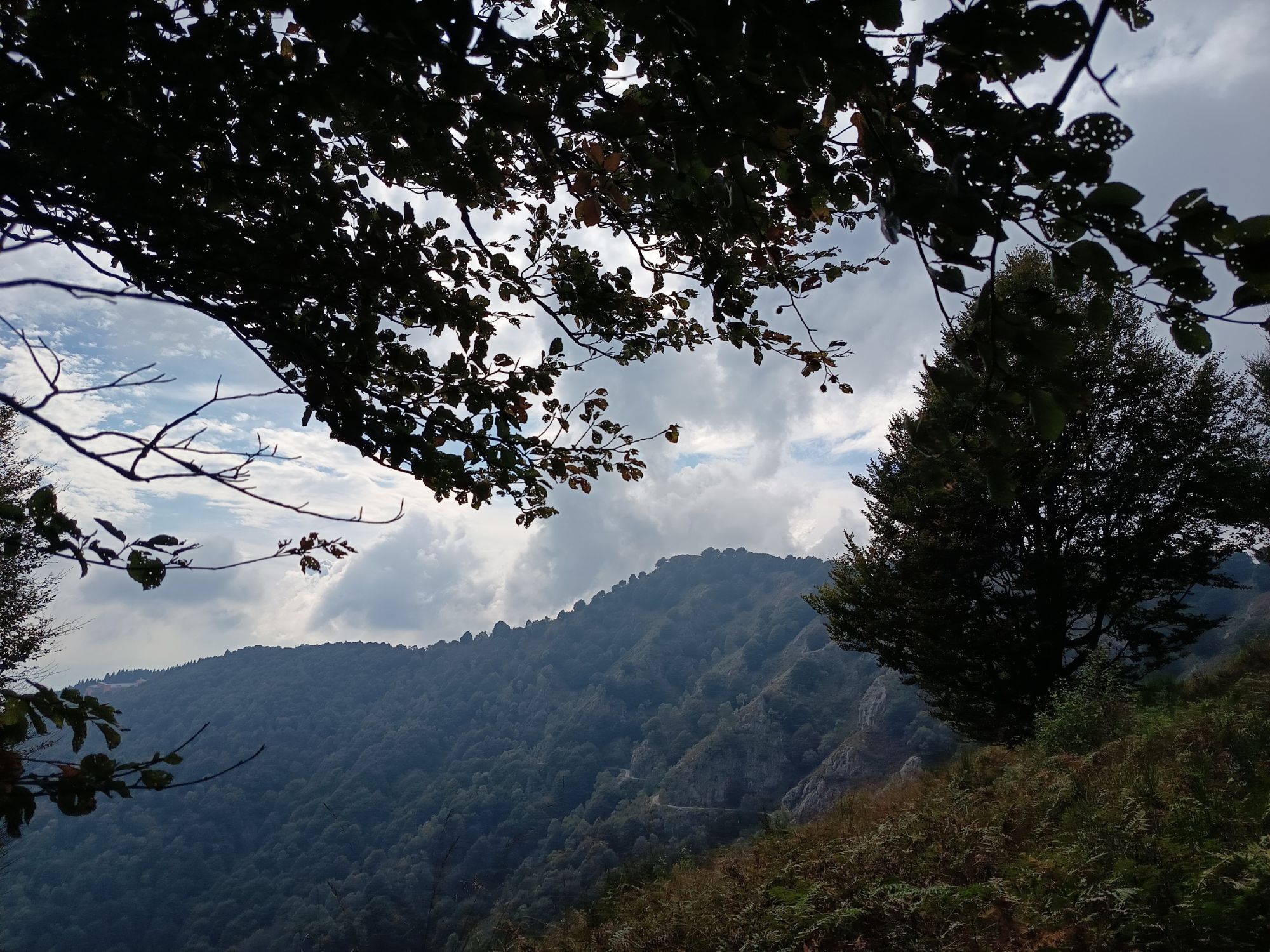
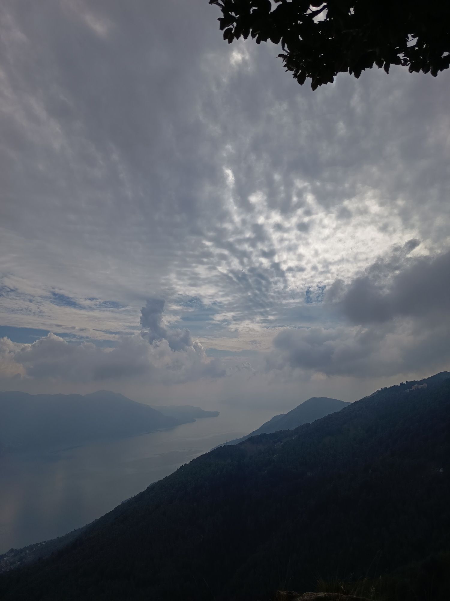
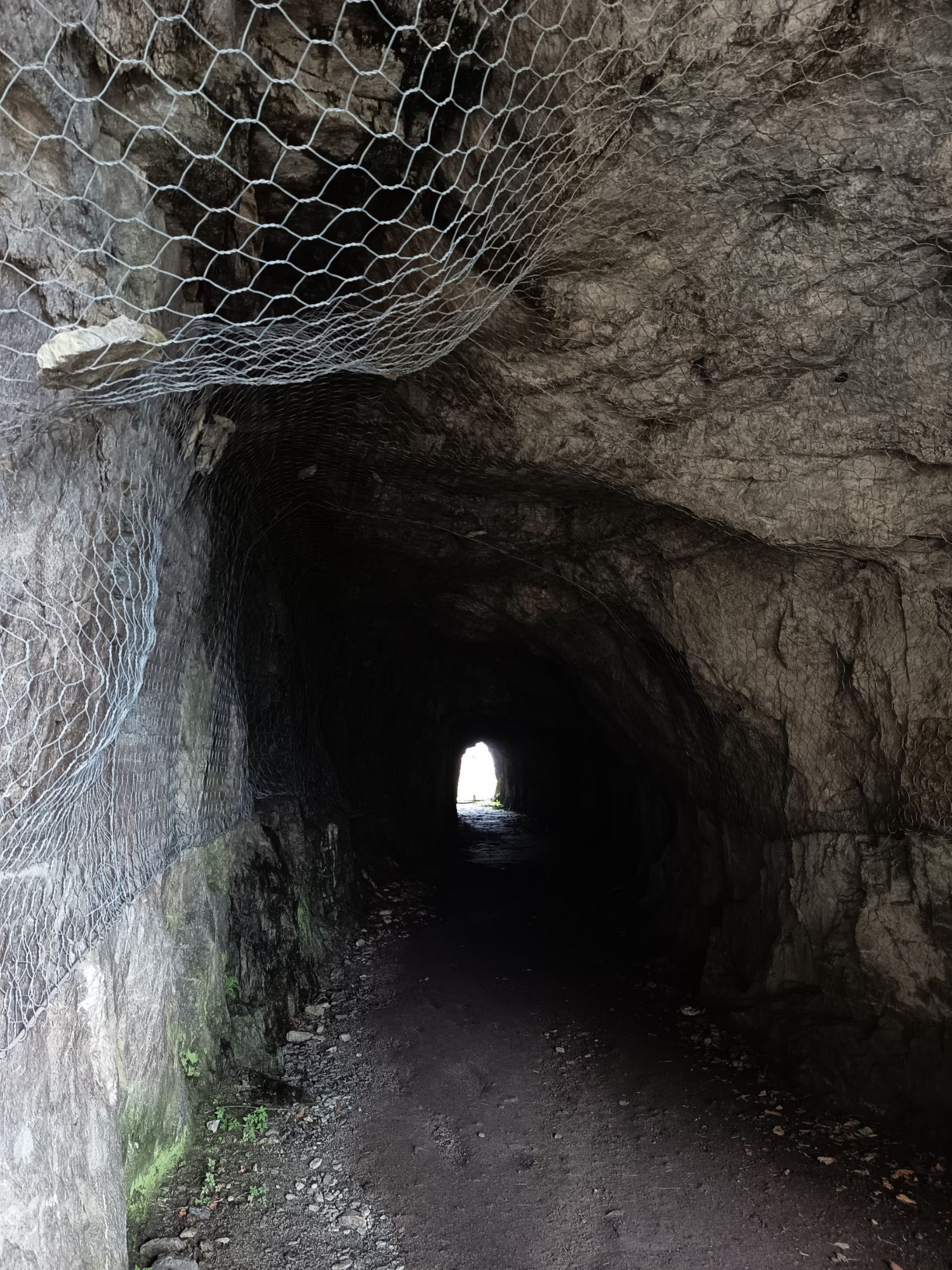
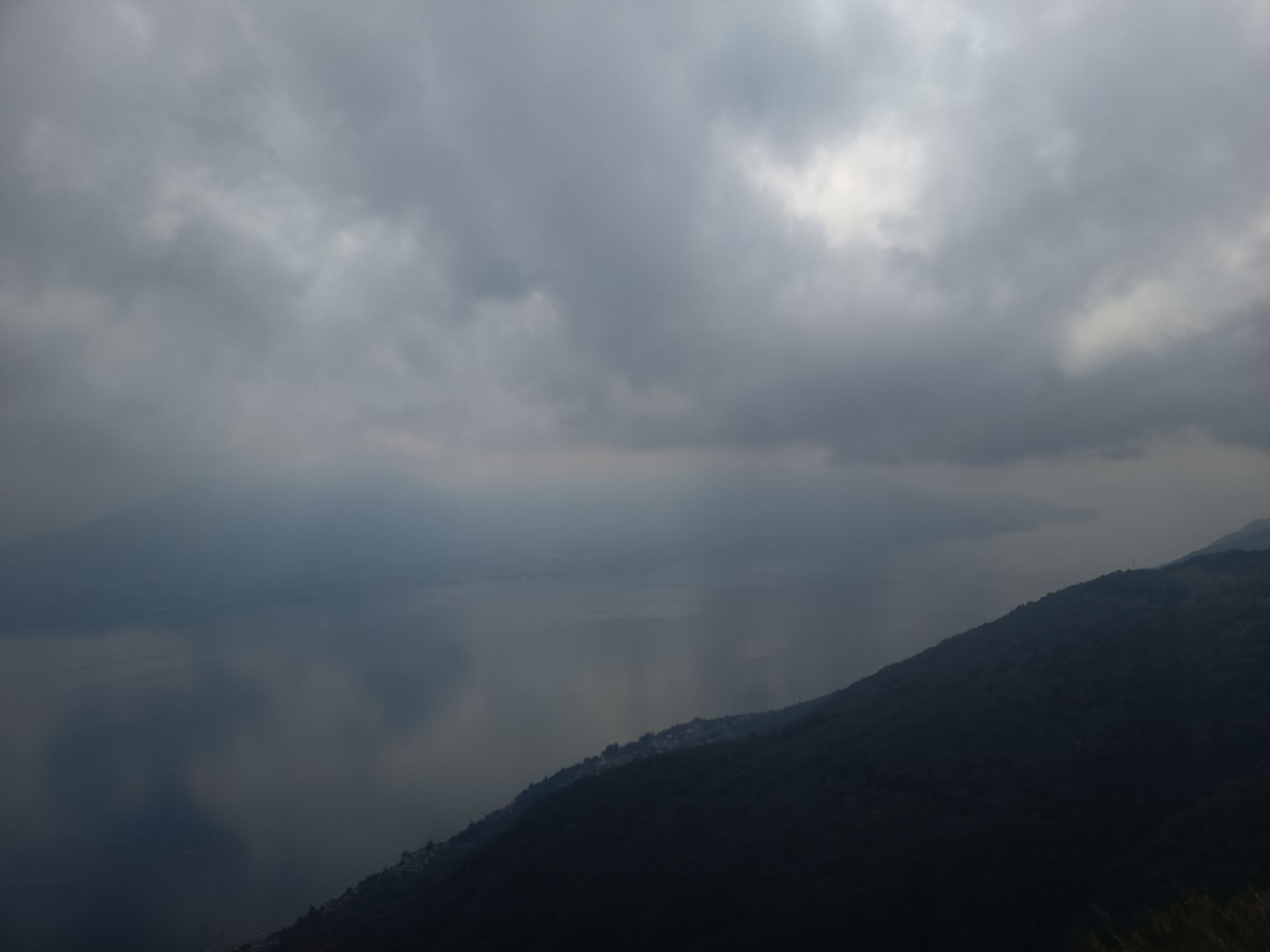
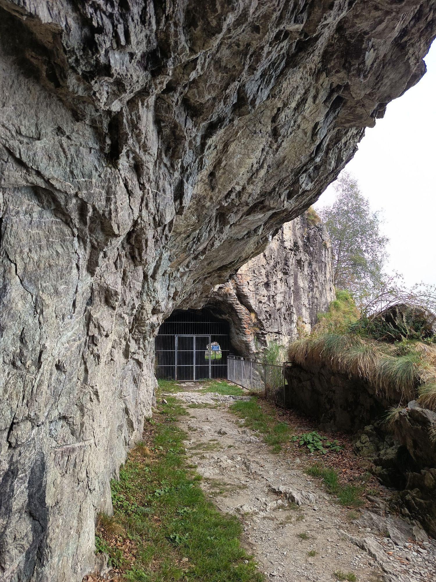
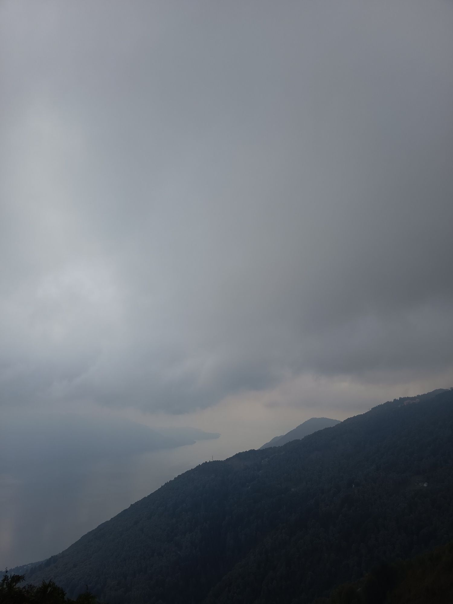
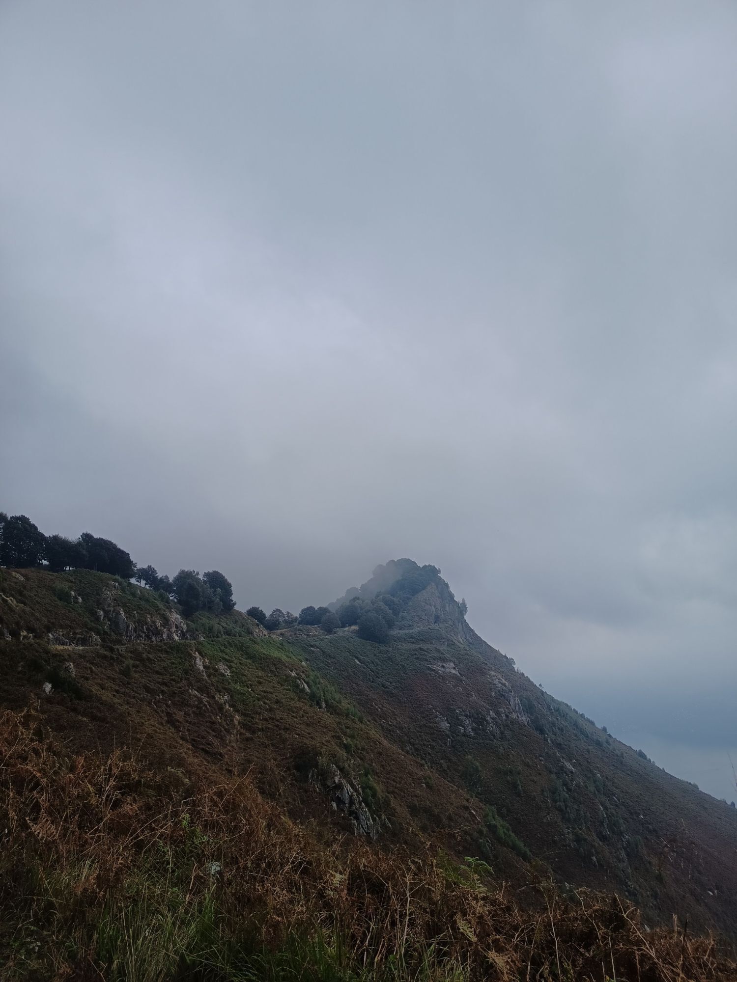
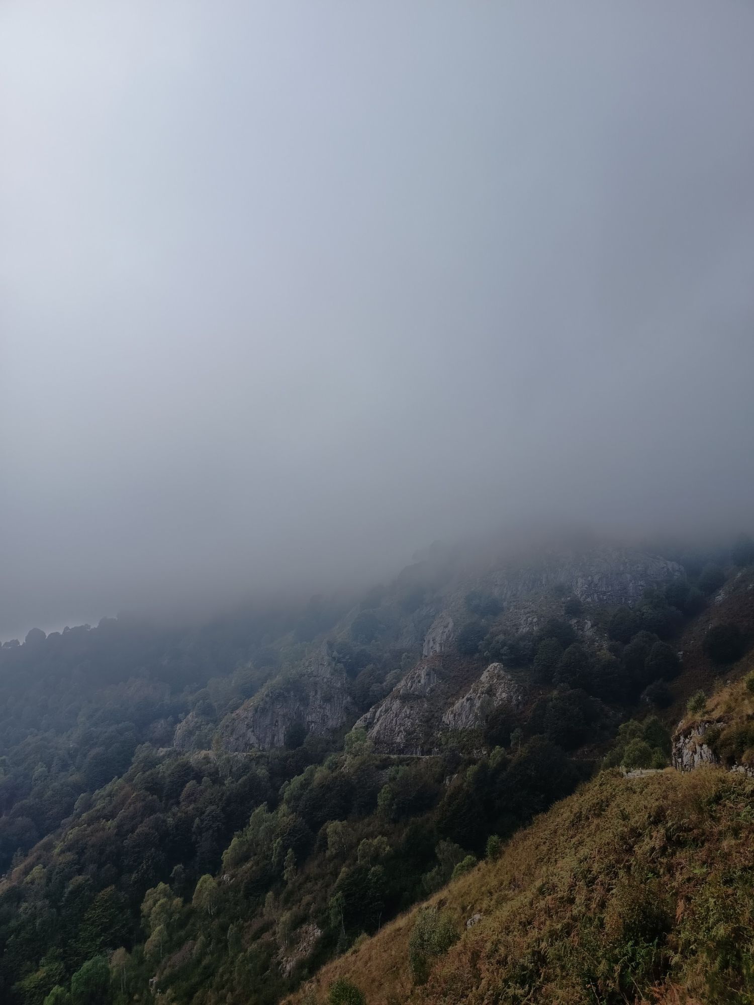
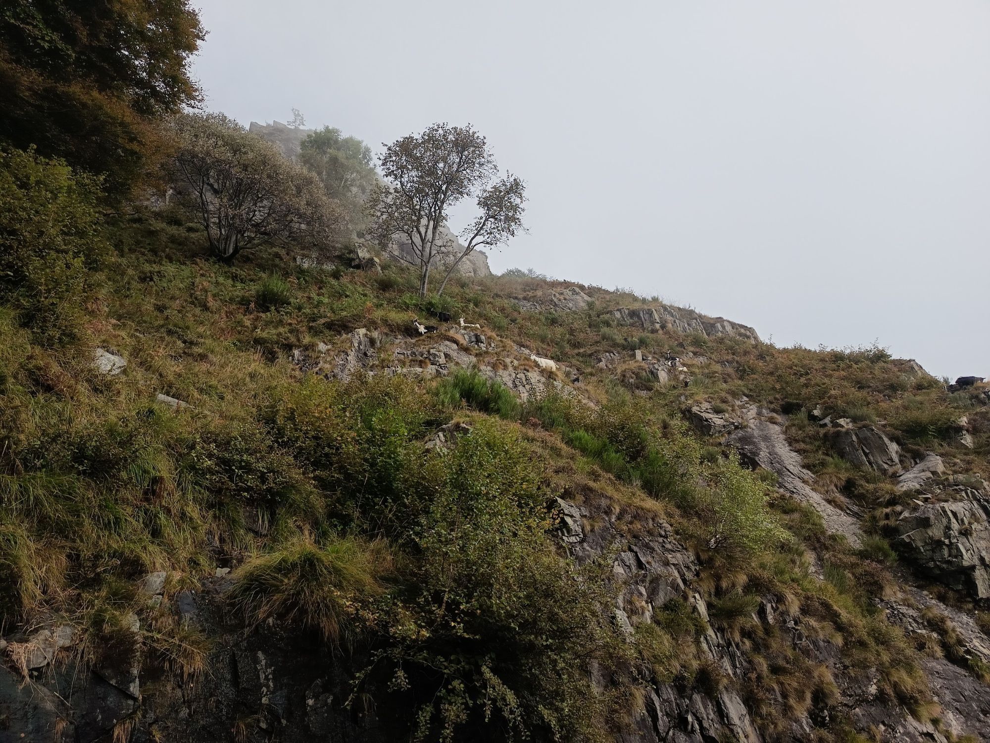
This section begins in Piancavallo (1247 m asl) in Upper Verbano, following the road to Colle. After the Ospedale Auxologico, take the dirt road to the right following the signs for the Gallerie del Monte Morissolo. You pass a barrier and from there the flat route begins on the wide military road that crosses a suggestive beech forest. Leaving the woods, one is struck by the breathtaking view of the upper Lake Maggiore. In just under half an hour on foot you can reach the tunnels dug into the living rock and the locations of the caves of Monte Morissolo.

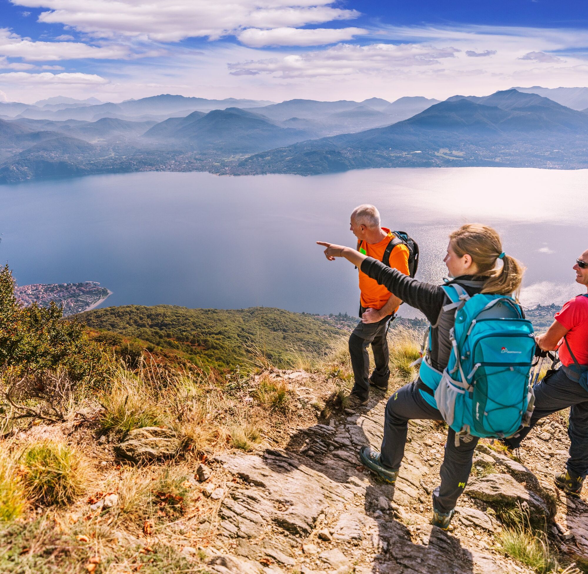
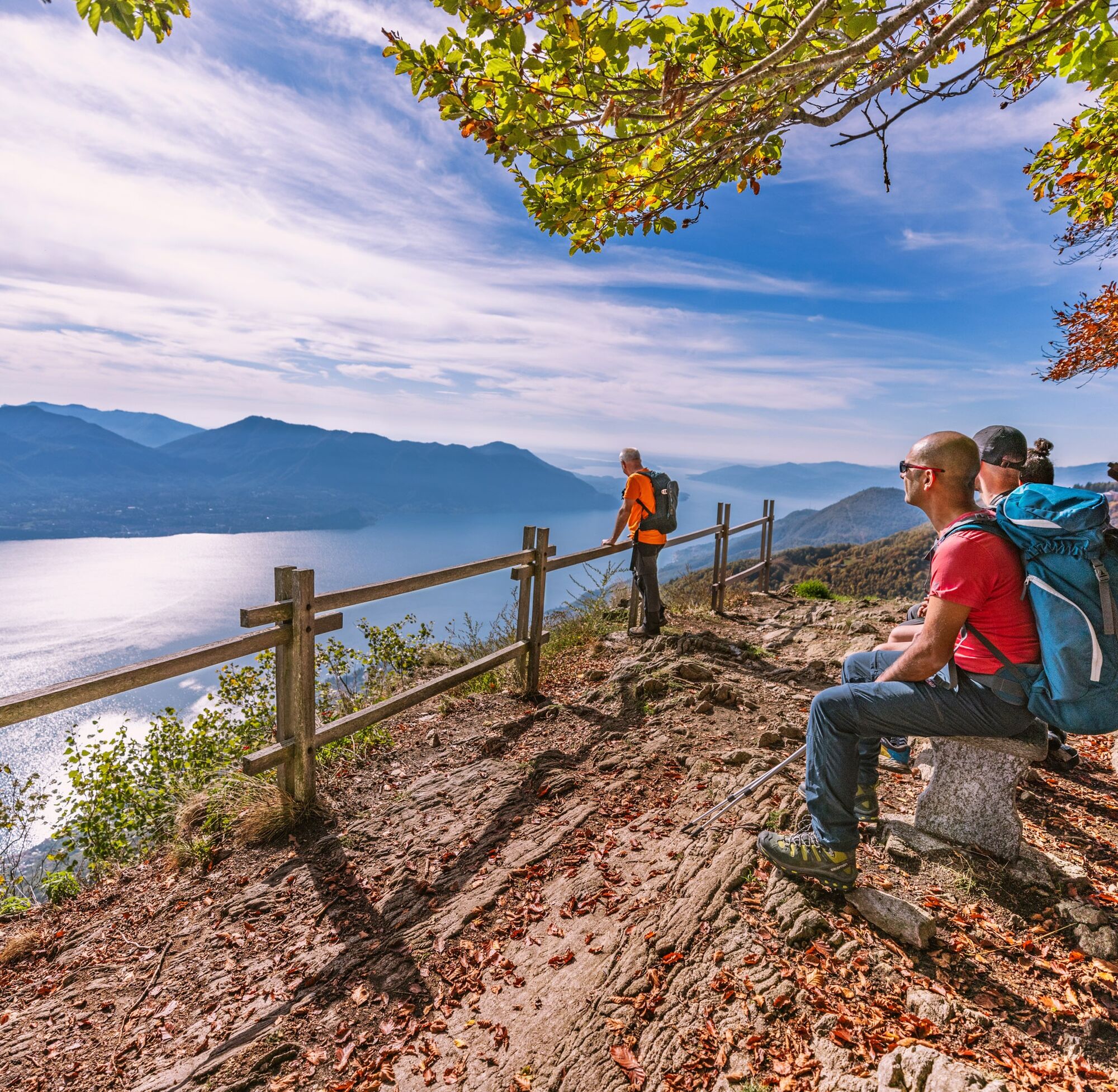

The section of the Cadorna Line between Piancavallo and Morissolo begins in Piancavallo (1247 m asl) in the Upper Verbano area, following the road to Colle. After the Auxologico hospital, take the dirt road to the right following the signs for the tunnels of Monte Morissolo. You pass a bar and from here the flat route begins on the wide military road that crosses a suggestive beech forest. Coming out of the woods, one is struck by the breathtaking view of Upper Lake Maggiore. In just under half an hour on foot you reach the tunnels dug into the living rock and the cave emplacements of Monte Morissolo.
Tak
The road is unprotected in some places. Also, care should be taken in case of recent snowfalls.


Popularne wycieczki w okolicy
- 3,8
Cannobio zu Sant’Aagata
światłoWędrówka 5,85 km - 4,0
Cicogna, Strada Sutermeister, Alpe Pogallo, Alpe Pra, Cicogna
średniWędrówka 9,83 km - 4,3
Collegiata di San Vittore - Cannobio - Chiesa di San Gottardo - Trarego Viggiona
średniWędrówka 7,21 km - 5,0
Himmel
średniWędrówka 12,7 km - 5,0
Mergugno: in the yellow forest
średniWędrówka 6,44 km - 4,0
Schöner Höhenweg über dem Lago Maggiore
średniWędrówka 11,0 km - 4,3
Pian Cavallone
światłoWędrówka 7,55 km - 5,0
Half tour of Lake Maggiore
średniDroga rowerowa 98,2 km The energetic places of Ghiridone
średniTrasa tematyczna 7,35 km- 4,0
Cannobio Runde
światłoWędrówka 7,23 km
Wędrówki i tropienie


Nie przegap ofert i inspiracji na następne wakacje
Twój adres e-mail została dodana do listy mailingowej.





