


Giro del Marguareis | Tappa 2 Rifugio Garelli - Rifugio Mondovì
Zdjęcia naszych użytkowników
 © Toni LerdaUtworzono dnia 24.07.2021
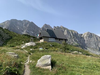 © Toni LerdaUtworzono dnia 24.07.2021
 © Toni LerdaUtworzono dnia 24.07.2021
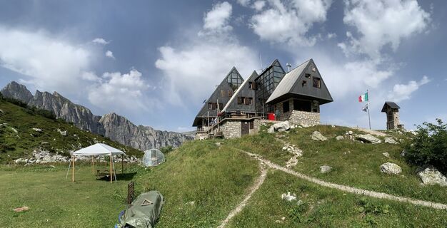 © Toni LerdaUtworzono dnia 24.07.2021
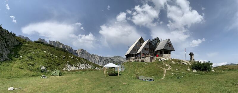 © Toni LerdaUtworzono dnia 24.07.2021
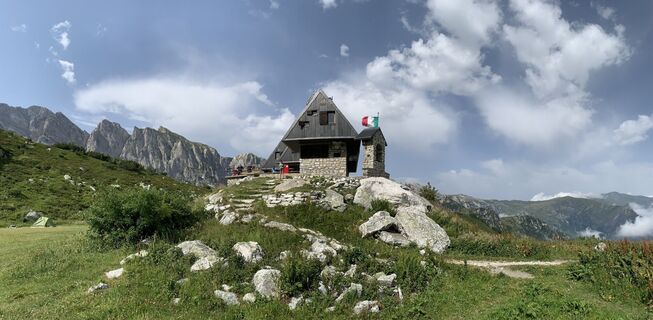 © Toni LerdaUtworzono dnia 24.07.2021
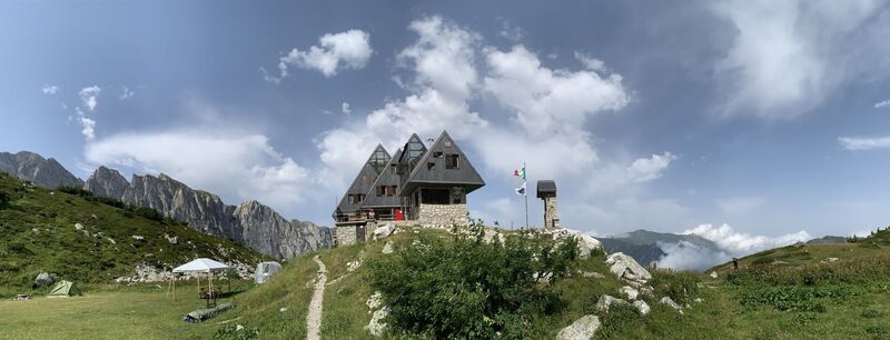 © Toni LerdaUtworzono dnia 24.07.2021
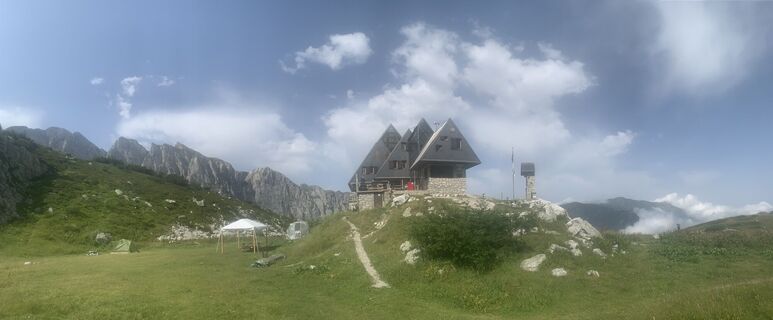 © Toni LerdaUtworzono dnia 24.07.2021
 © Toni LerdaUtworzono dnia 24.07.2021
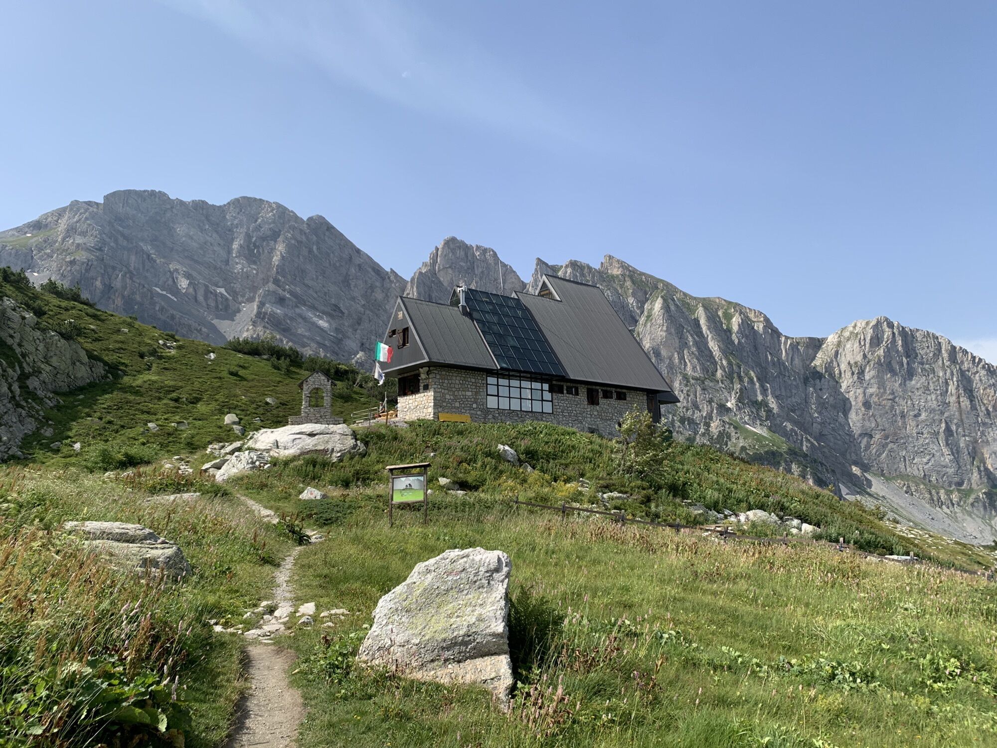
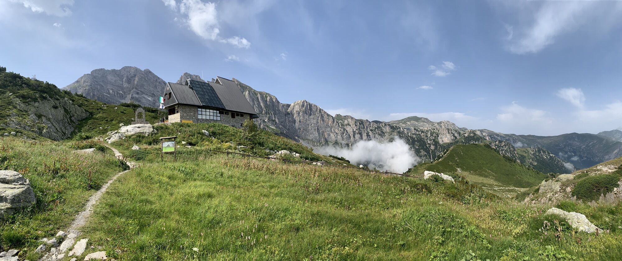


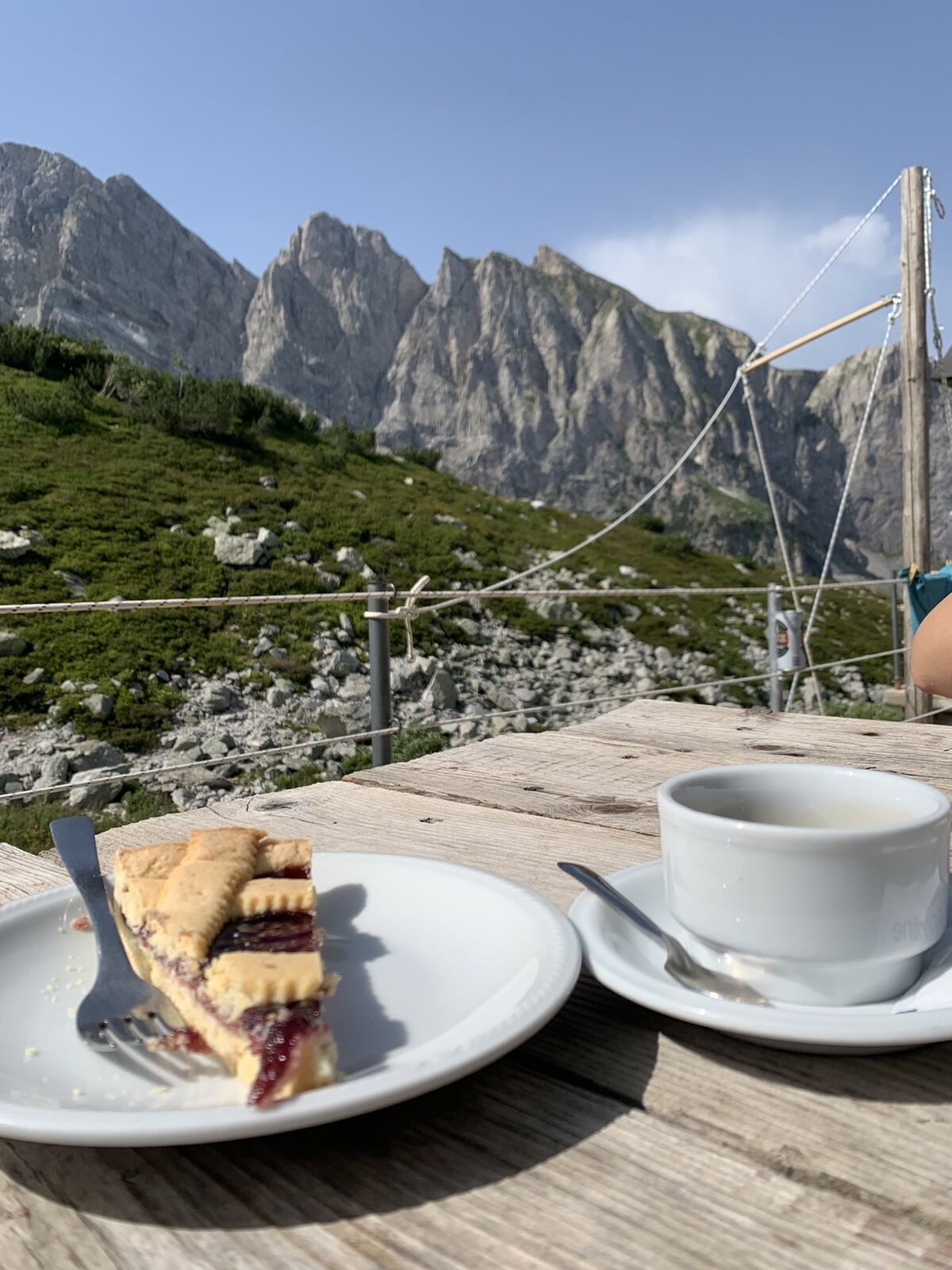
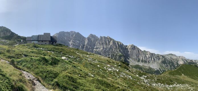
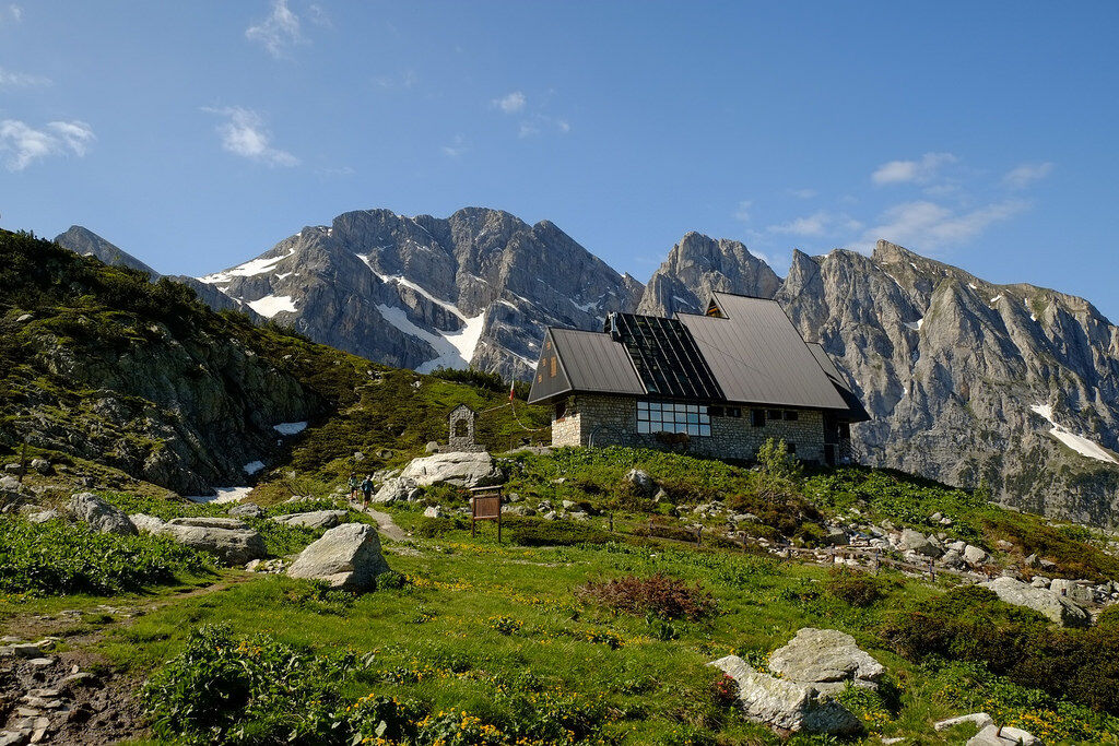
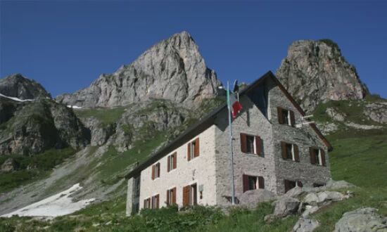
Just in front of the terrace of the Garelli Hut (1966 m), a clear path branches off to the east and crosses the Pian del Lupo grassy plateau. The path goes up the valley between grass and rocks, initially...
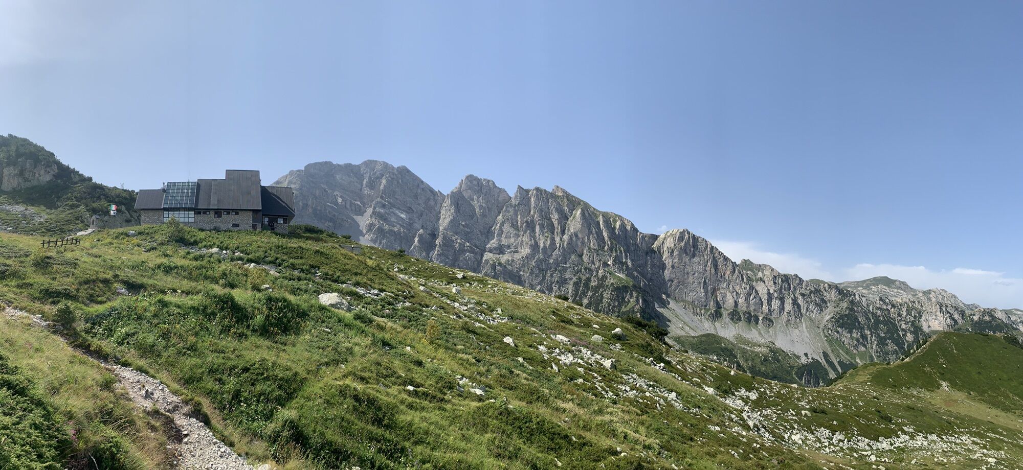
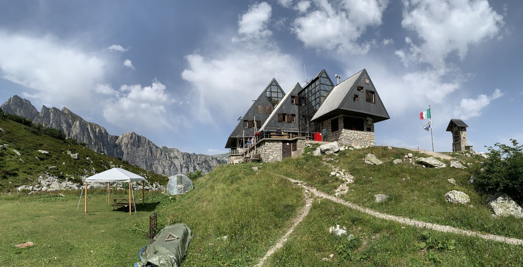
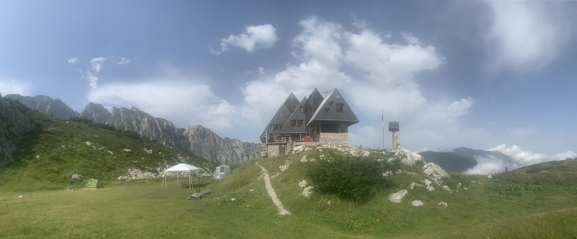
Just in front of the terrace of the Garelli Hut (1966 m), a clear path branches off to the east and crosses the Pian del Lupo grassy plateau. The path goes up the valley between grass and rocks, initially keeping to the left orographic side, then skirts a stony ground and then moves to the left. After climbing a long hillock, the path moves to the orographic right and winds through undulating grassy slopes. The numerous tracks, also created by grazing animals, make it a little difficult to identify the correct route: with a few turns, and without excessive problems, you nevertheless gain the wide and grassy saddle of Porta Sestrera (or Passo di Lapassè, 2228 m , 0:50 hours from the Garelli Hut). Practically on the pass, ignore the slender track that branches off to the left towards Lago delle Moie, and begin the descent on the Ellero Valley side. Also in this case you lose height between rounded meadow bumps. Leaving the first branch for Colle del Pas on the right, continue to descend guided by the trail posts, keeping to the right of the deep impluvium of a small stream, until you enter a second direct path to Colle del Pas coming from the Mondovì Havis De George. Follow it to the left, diagonally crossing the grassy slopes, high above the basin of Lake Biecai. After passing a small stream, with a short ascent you reach a not very evident fork near some ruins. You ignore the left track for Lago delle Moie and continue ahead. Now go around the entire basin of Lake Biacai along the hillside, touching other ruins, and reaching the narrow passage known as Porta Biecai (2004 m). With gradually wider serpentines, you descend quite steeply from the rocky bastion that closes the basin of Lake Biecai and enter the Rio Ciappa valley. With a long, slightly downhill traverse, on the orographic right of the valley, the path cuts now through meadows, now through marshy stretches (but on a suitably paved ground), now thick patches of rhododendrons and other shrubs. Go around the northern foothills of Punta Havis De Giorgio, the path reverses direction and descends in a few minutes to the Mondovì Havis De Giorgio refuge (1755 m, 1:05 hours from Porta Sestrera).

Popularne wycieczki w okolicy
Historic Mountain Routes | High Salt Road
ciężkiMountainbike 104,8 km- 5,0
Tour of Marguareis | Stage 4 Mongioie Refuge - Don Barbera Refuge
średniWędrówka 11,6 km Trail no. 06: Sella della Valletta - Colla S. Barnardo
Wędrówka 8,04 kmThe Raschera loop
średniMountainbike 62,1 kmAVU Alta Via dei Lupi | Stage 2 Mondovì refuge - Don Barbera refuge
średniWędrówka 14,6 kmTour of Marguareis Stage 1 | Pian delle Gorre - Garelli refuge
średniWędrówka 7,34 kmSentiero Balcone Monregalese
światłoWędrówka 104,0 kmGTA Upper variant of Marguareis: Stage 68A Limonetto - Rifugio Don Barbera
średniWędrówka 19,6 kmIM_16 Mendàtica - Cascate dell'Arroscia
Wędrówka 5,12 kmGiro del Marguareis tapa 4 variante
średniWędrówka 14,5 km
Wędrówki i tropienie


Nie przegap ofert i inspiracji na następne wakacje
Twój adres e-mail została dodana do listy mailingowej.