


Val Varaita Trekking: Tappa 4 Becetto - Rifugio Bagnour
Zdjęcia naszych użytkowników
-

 © Toni LerdaUtworzono dnia 21.05.2022
 -
 © Toni LerdaUtworzono dnia 21.05.2022
 -
 © Toni LerdaUtworzono dnia 21.05.2022
 -
 © Toni LerdaUtworzono dnia 21.05.2022
 -
 © Toni LerdaUtworzono dnia 21.05.2022
 -
 © FABIO MAGLIANOUtworzono dnia 15.02.2026
 -
 © FABIO MAGLIANOUtworzono dnia 15.02.2026
 -
 © FABIO MAGLIANOUtworzono dnia 15.02.2026
 -
 © FABIO MAGLIANOUtworzono dnia 15.02.2026
 -
 © FABIO MAGLIANOUtworzono dnia 15.02.2026
 -
 © FABIO MAGLIANOUtworzono dnia 15.02.2026
 -
 © FABIO MAGLIANOUtworzono dnia 15.02.2026
 -
 © FABIO MAGLIANOUtworzono dnia 15.02.2026
 -
 © FABIO MAGLIANOUtworzono dnia 15.02.2026
 -
 © FABIO MAGLIANOUtworzono dnia 15.02.2026
 -
 © FABIO MAGLIANOUtworzono dnia 15.02.2026
 -
 © FABIO MAGLIANOUtworzono dnia 15.02.2026
 -
 © FABIO MAGLIANOUtworzono dnia 15.02.2026
 -
 © FABIO MAGLIANOUtworzono dnia 15.02.2026


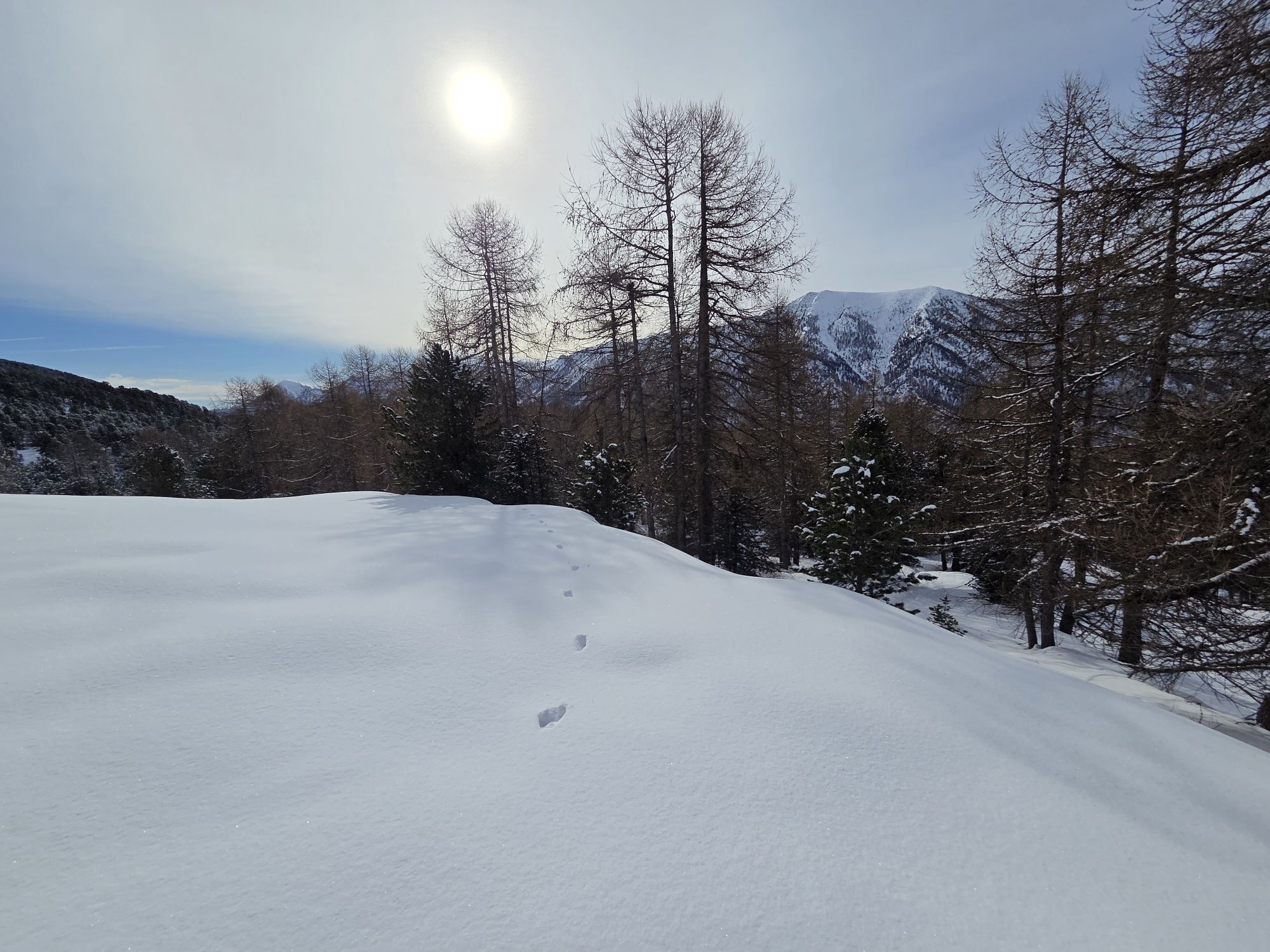
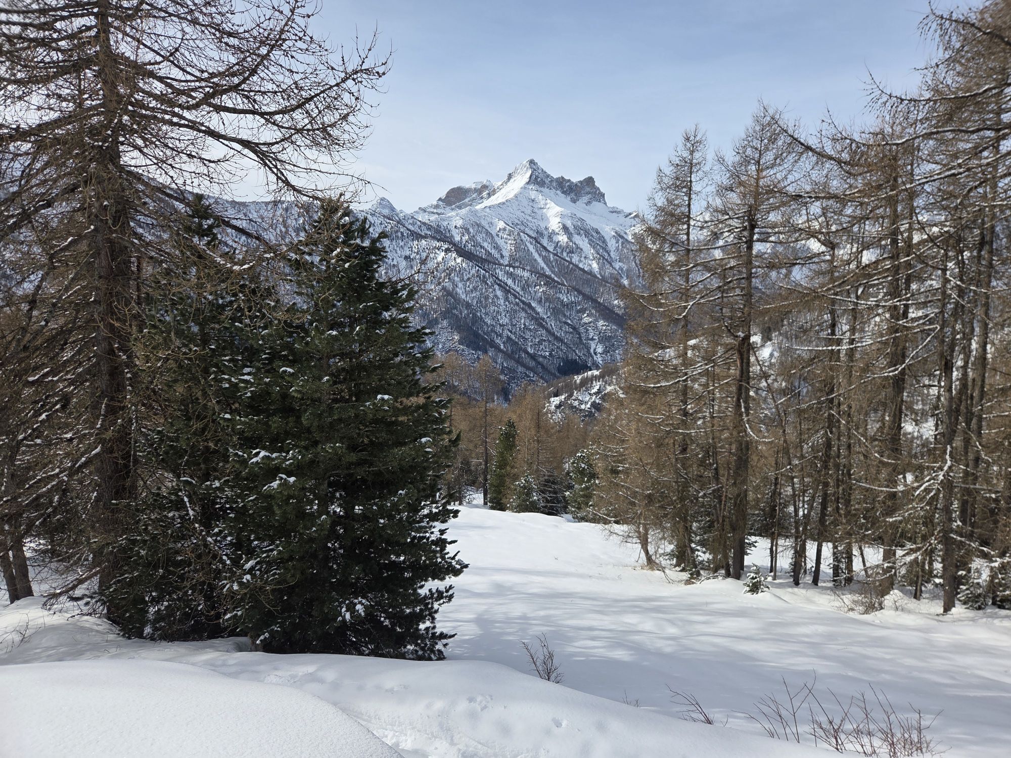
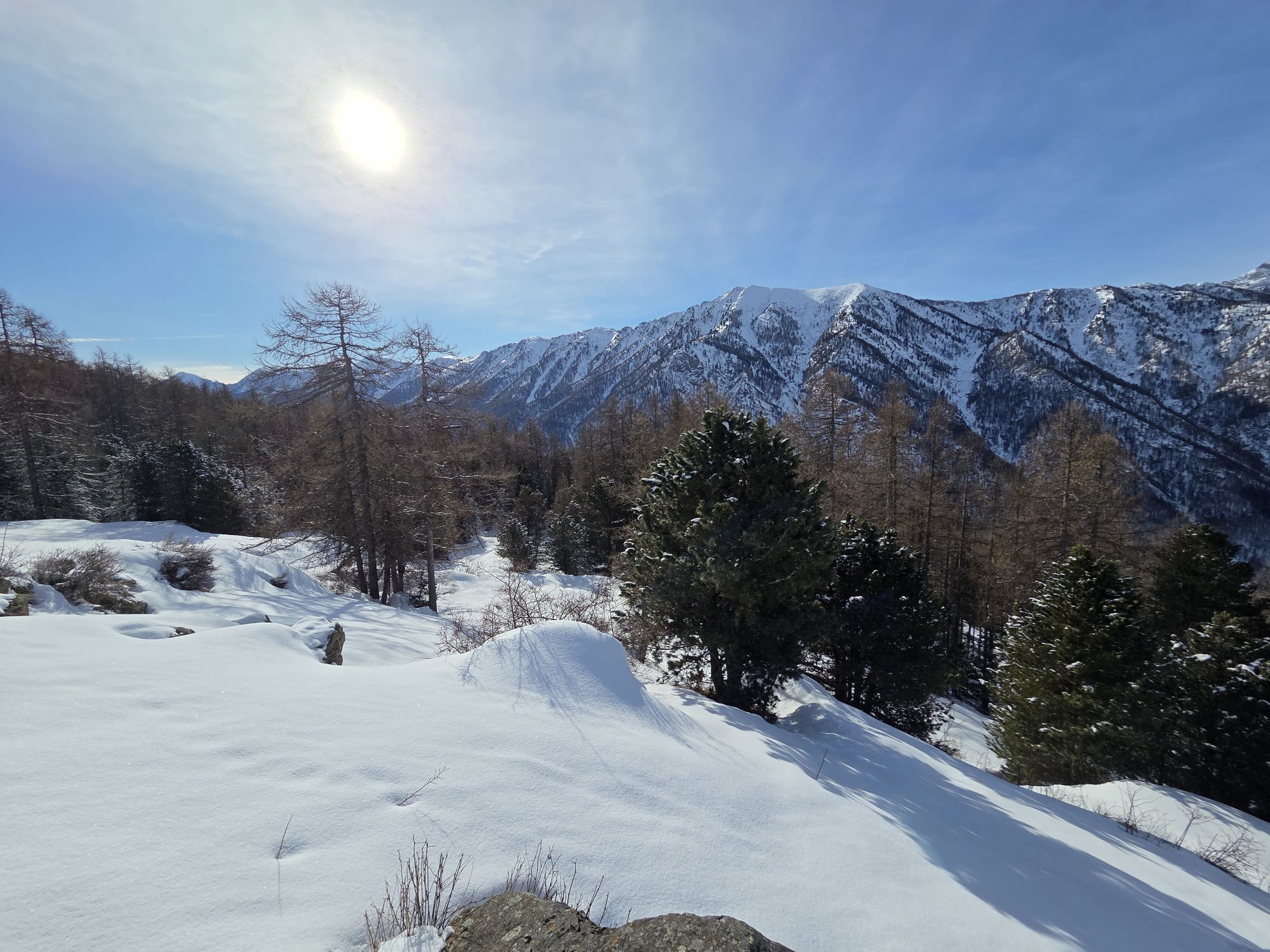

The fourth stage starts from the center of Becetto with destination Bagnour refuge. The walk begins with an up and down path with a view of the Crosa stream which leads to Meira Roina, a panoramic point...
The itinerary has been promoted within the platform as part of the PITEM M.I.T.O. project. – Outdoor OFF - Interreg Italy-France Cross-Border Cooperation Program ALCOTRA 2014-2020.

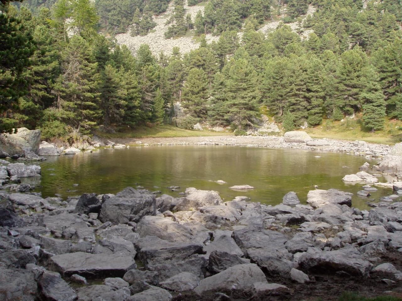
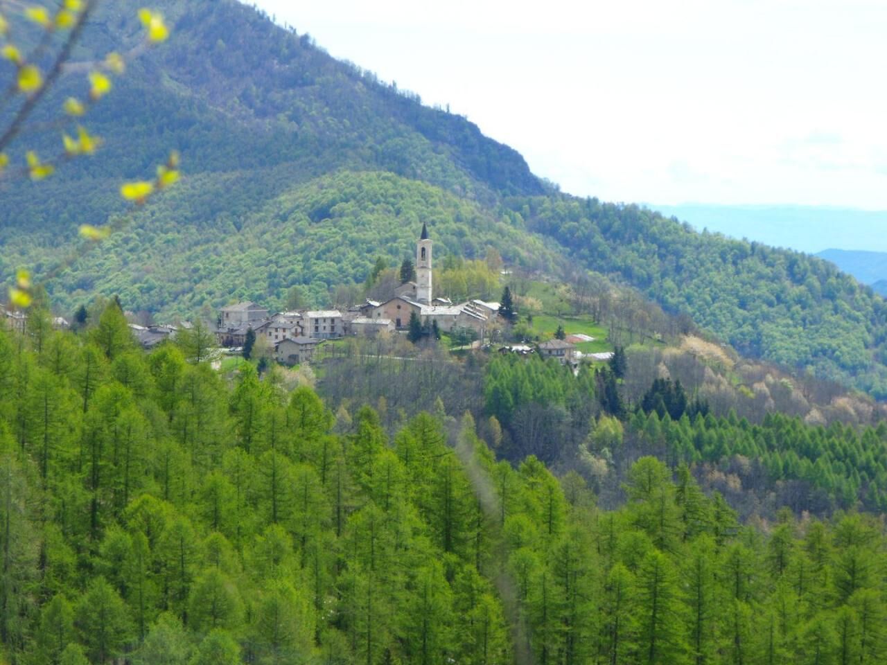
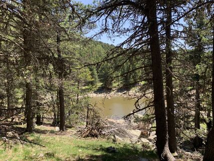
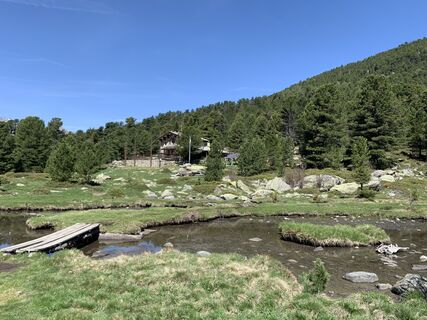
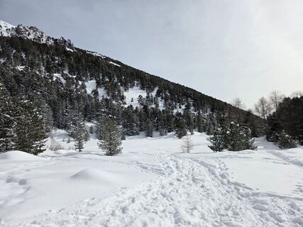
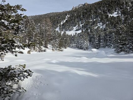
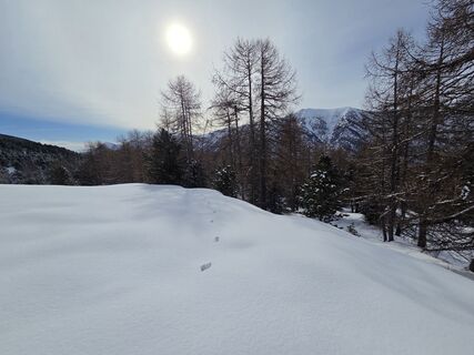
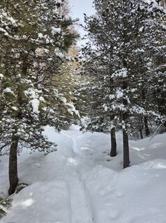
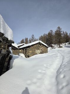
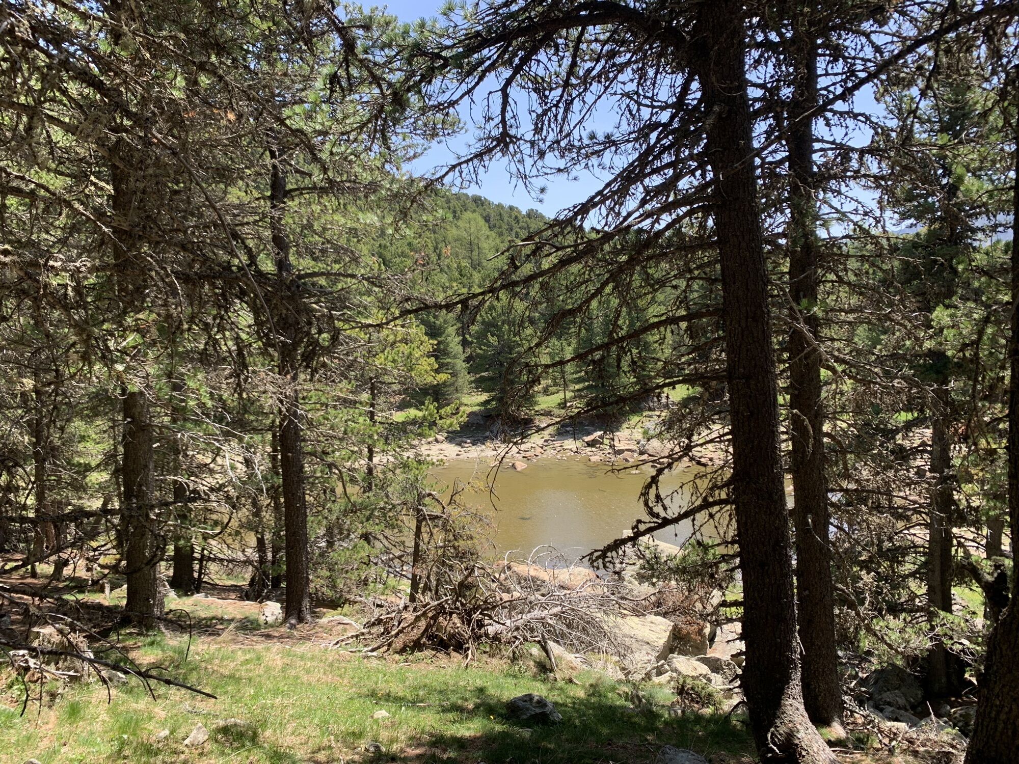
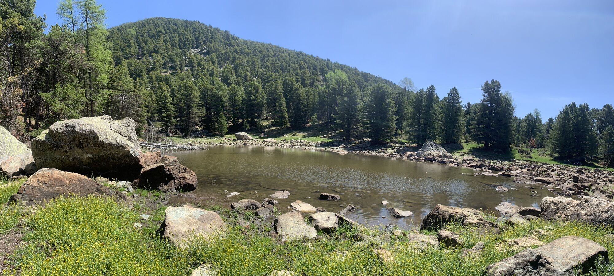
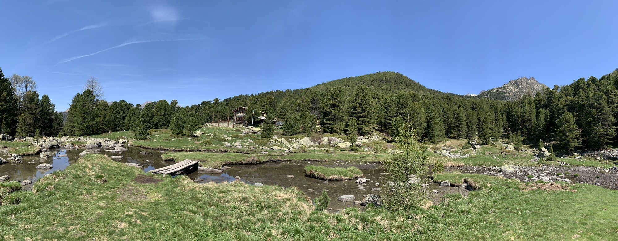
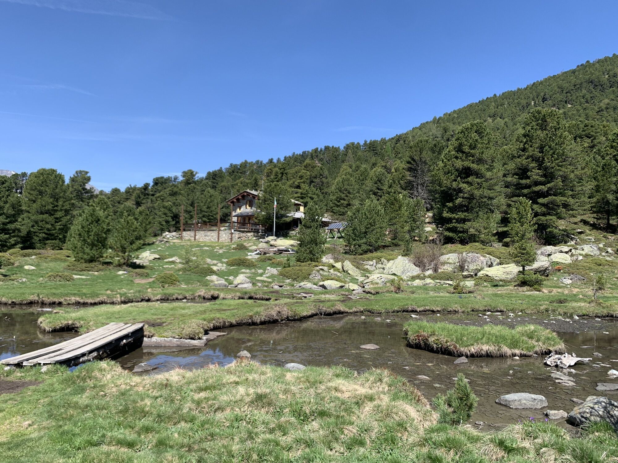
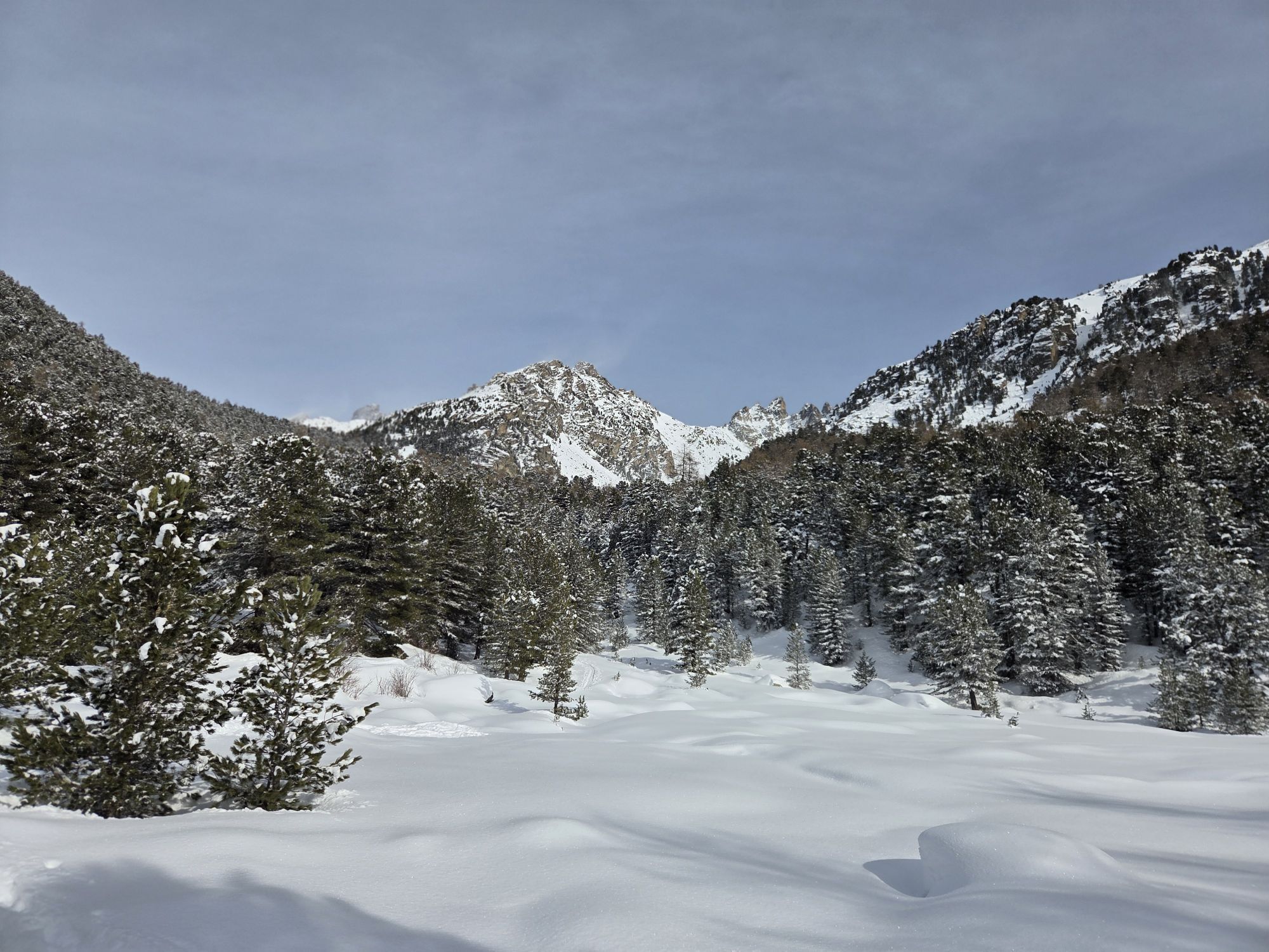
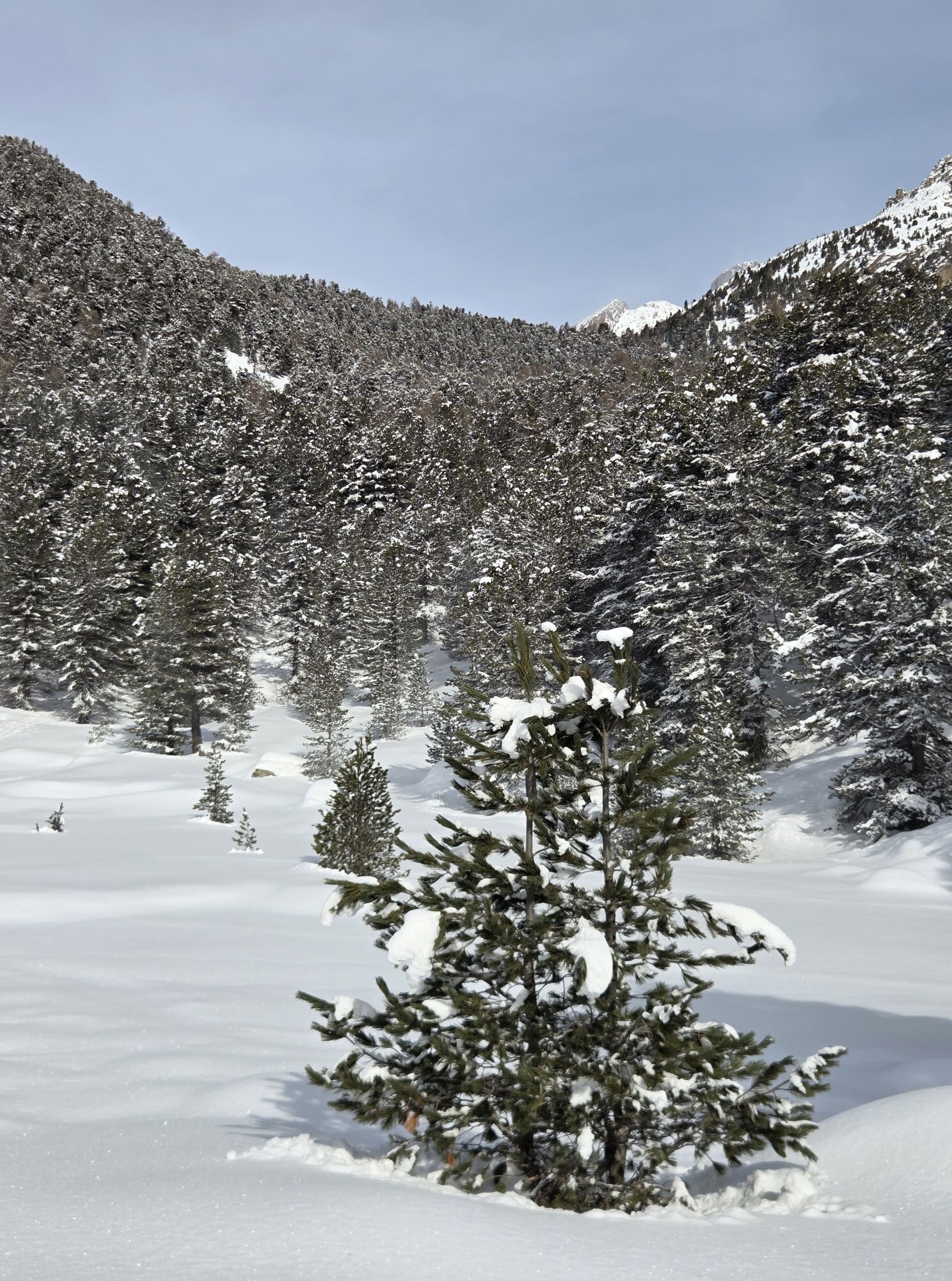
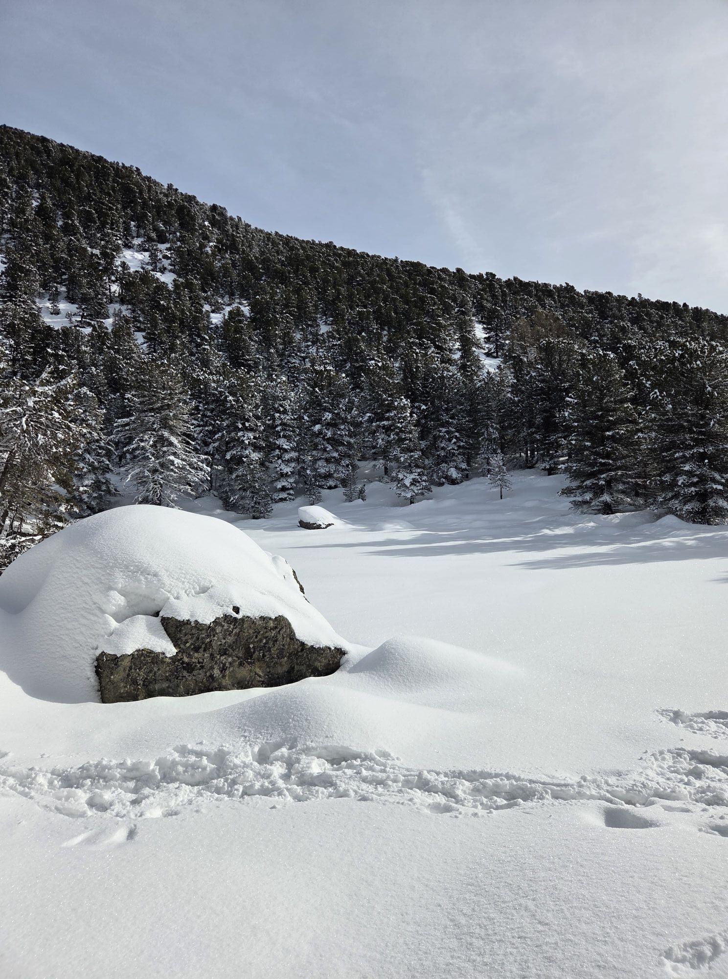
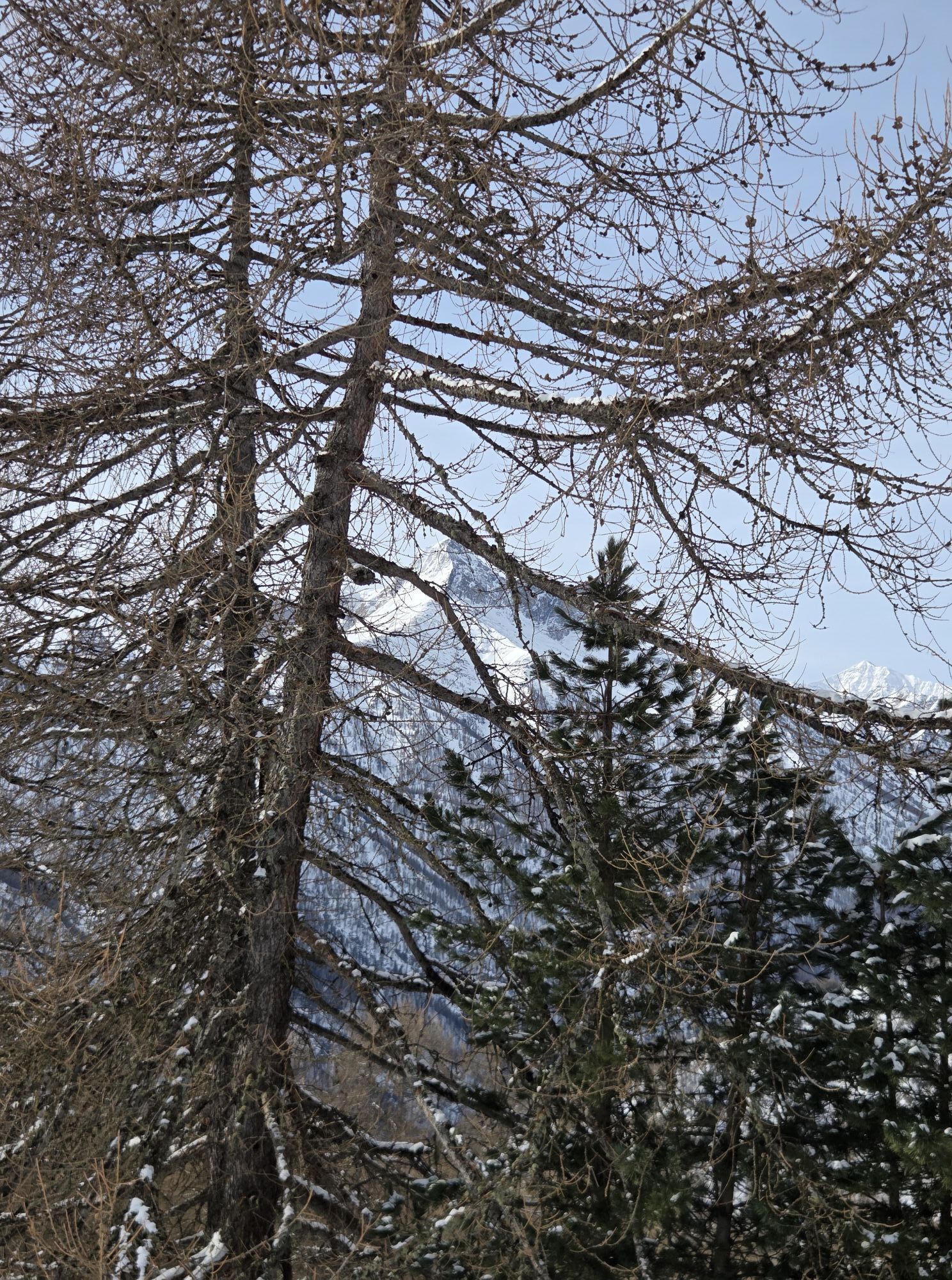
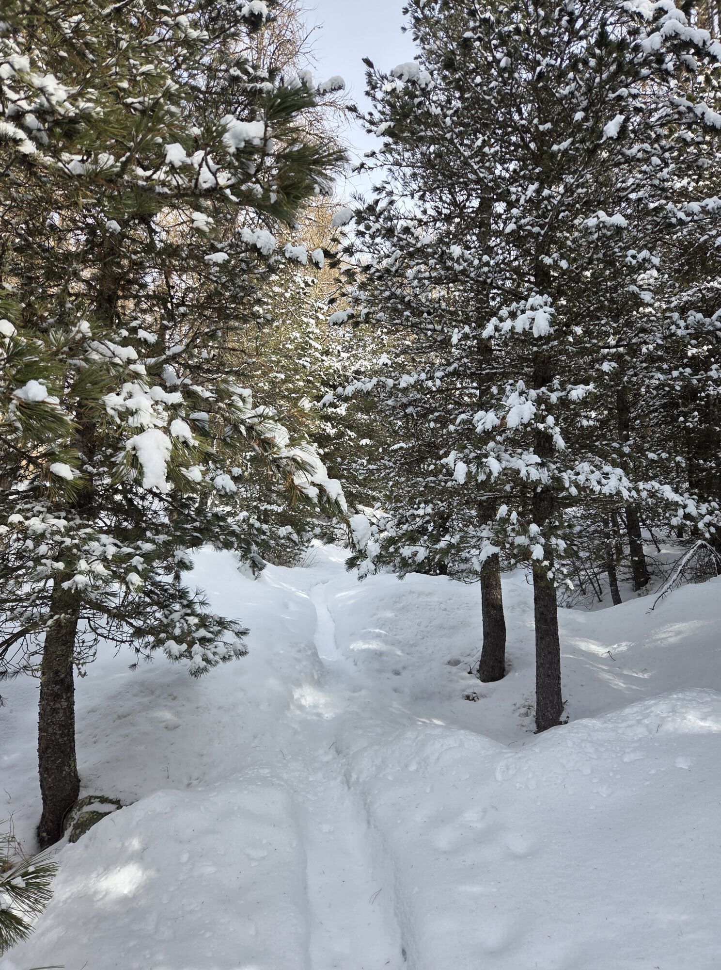
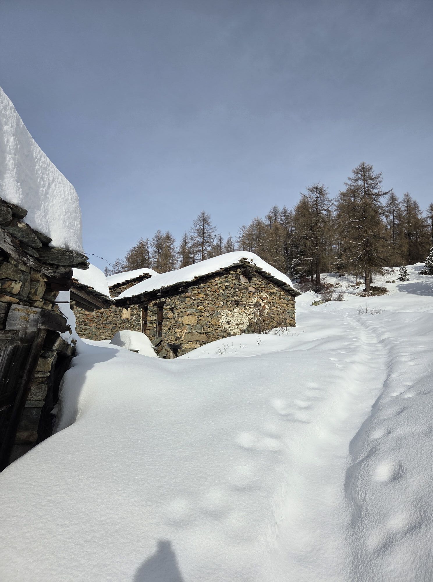
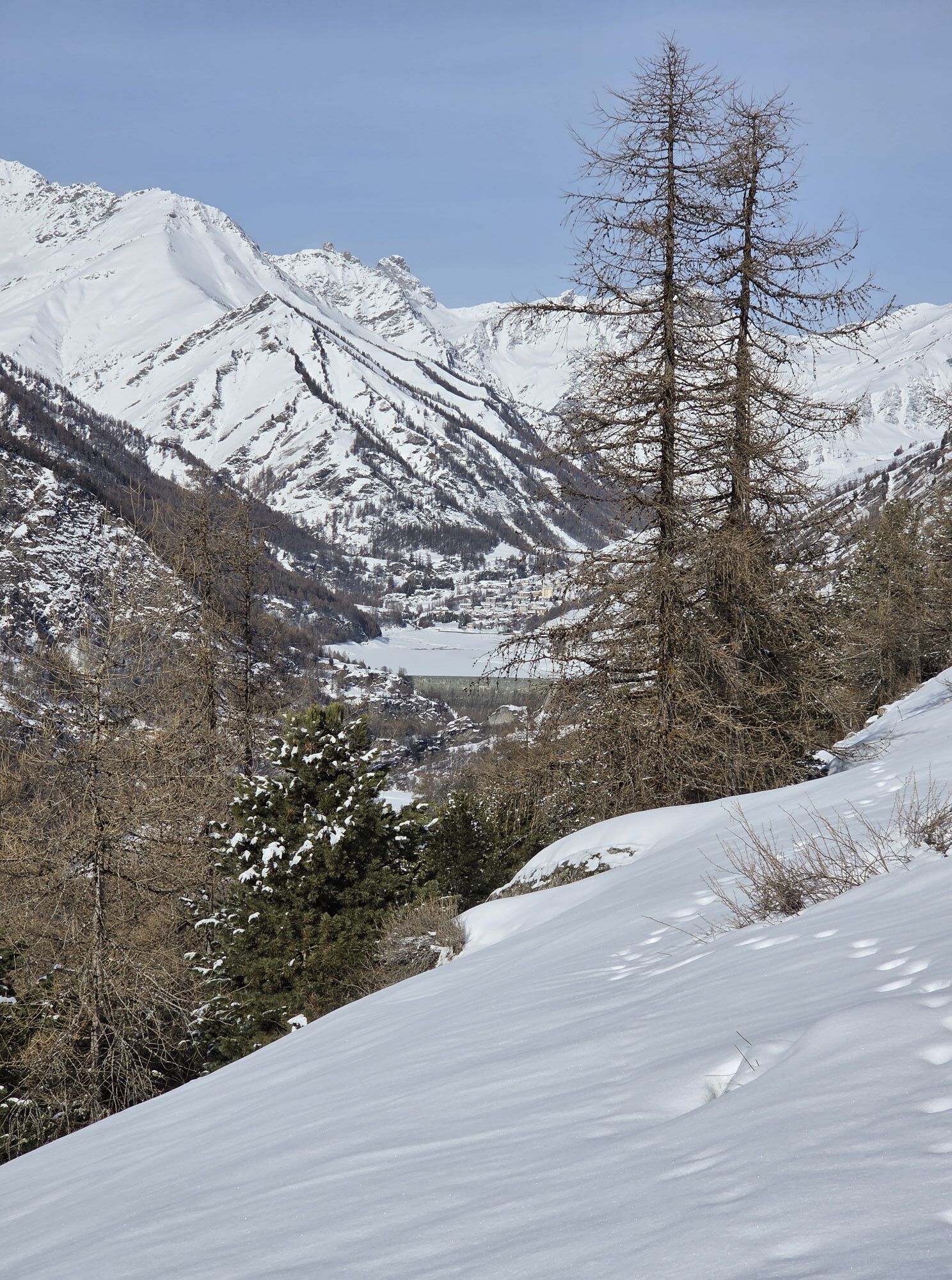
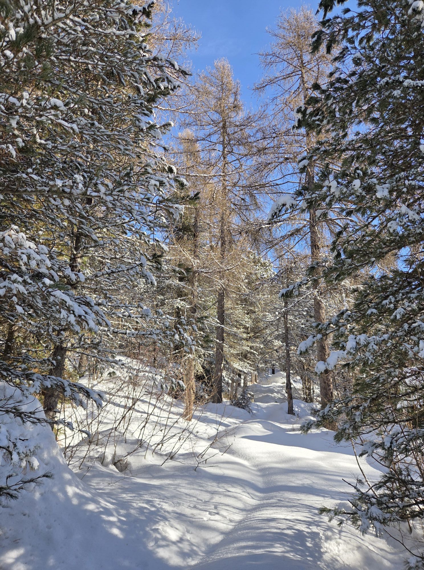
Starting from the washhouse located in the square of Becetto, we take the descent that leads to the "Ristorante del Becetto", with the adjoining grocery store, and skirting the buildings downstream, we reach the hamlet of Civalleri. After crossing the small hamlet, we follow the obvious path that leads us slightly downhill to ford the Crosa stream. Continuing on the uphill path and paying attention to the very exposed path equipped with chains, we arrive at Meira Roina, built on particularly panoramic rocks. From here in a few minutes we reach the Preit refuge, a forest nursery from the 1920s. We continue on the level path and then slightly uphill, ignoring the downhill path which allows you to reach the hamlet of Chiotti and then Sampeyre in a few minutes. We pass the meire Bellocchio, where we take a downhill dirt road to the left and we rejoin the road coming from Chiot on the right. We pass the Dueo meires and reach Serre di Raie, an interesting group of meires set in a panoramic position. We turn right onto the path on the crest which runs alongside the meadows, at the end of which we turn left following the level track and passing two streams, a group of meires and the two branches of the Rio Milanesio, until we reach the Colletto meires with the annexed chapel dedicated to the Madonna della Neve. We continue on the road which at times becomes paved and we arrive near the meire di Ciampaneis (Ciampanesio). Just before the town we take the path on the right which crosses the pastures slightly uphill, we pass an ancient tunnel and we reach a natural balcony: the Croce d'Alie, where the path crosses the ridge and allows us to enjoy the panorama offered from the upper valley. Proceeding on the path which is always level, we meet the meire Brondu. After passing a second group of meires, Auriol, we follow the path on the right which enters the heart of the Alevè wood. Proceeding slightly uphill after a few crossroads which we ignore going straight on, we arrive at the Pralambert sottone granges, and cross the path that will take us to the Bagnour lake and the refuge of the same name passing near the Pralambert soprane granges and the Secco lake. Connections with accommodation facilities at the bottom of the valley: from the Ciampaneis meires we keep the road going downhill, and after a few hairpin bends, at the first crossroads signposted on the right, we take the mule track that descends to Villar (B&B La Calendula). From the Auriol grange continuing straight on the same mule track it is possible to reach an asphalted road in a short time that will take us to Casteldelfino (Agriturismo Mulino delle Fucine).
Tak
Si risale la Valle Varaita, si raggiunge il Comune di Sampeyre, prima dell'abitato si prende il bivio sulla destra direzione Becetto
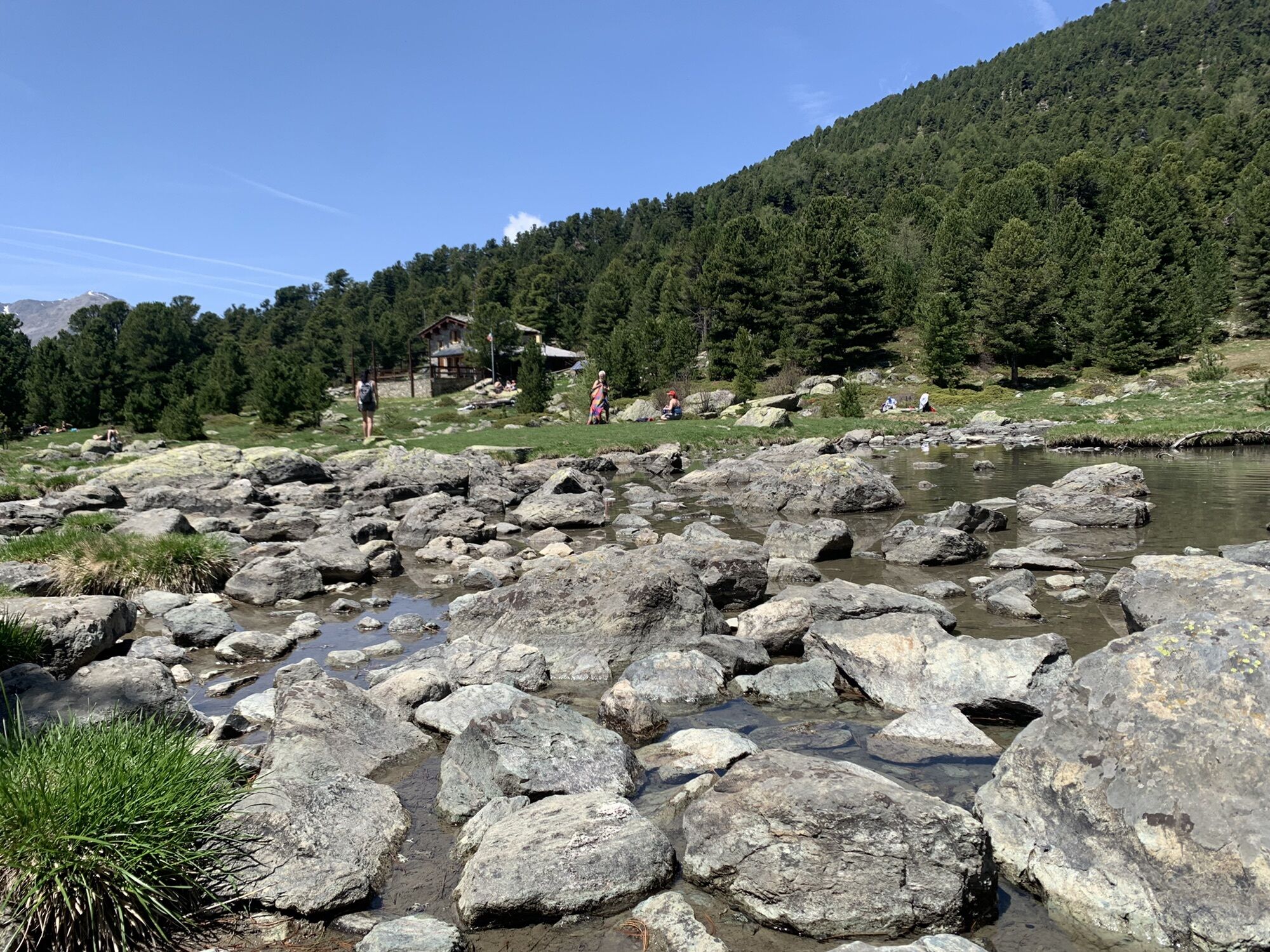
The Preit nursery: a 12,000 square meter nursery built by the forest administration at the beginning of the 1900s and active until the end of the 1950s. Today a splendid spruce wood remains of the structure.
Popularne wycieczki w okolicy
-
Gran Tour del Monviso
średniWędrówka 57,1 km -
4,0
Historic Mountain Routes | Cannon Road
ciężkiMountainbike 43,2 km -
5,0
04 Monviso Ring. Rifugio du Viso - Rifugio Alevè . Pontechianale, Piemont/Italien
światłoWędrówka 13,3 km -
5,0
Rifugio Quintino sella - monte Monviso
średniWspinaczka 9,13 km -
5,0
Occitan routes: Stage 6 Elva - San Michele di Prazzo
średniWędrówka 11,5 km -
5,0
Percorsi Occitani: Tappa 4 Frazione Camoglieres - San Martino Inferiore
średniWędrówka 16,8 km -
5,0
01-Monviso Ring. Rifugio Alevè - Rifugio Quintino sella Pontechianale, Piemont/Italien
światłoWędrówka 11,8 km -
3,5
Occitan Routes Stage 5
średniWędrówka 6,86 km -
5,0
02 Monviso Ring. Rifugio Quindino Sella - Rifugio Giacoletti. Crissolo, Piemonte/Italia
światłoWędrówka 7,11 km -
5,0
Strada dei Cannoni
średniWędrówka 56,1 km

Wędrówki i tropienie


Nie przegap ofert i inspiracji na następne wakacje
Twój adres e-mail została dodana do listy mailingowej.