







GTA Variant of the High Stura, Maira and Varaita Valleys: Leg 53B S. Anna di Bellino - Acceglio
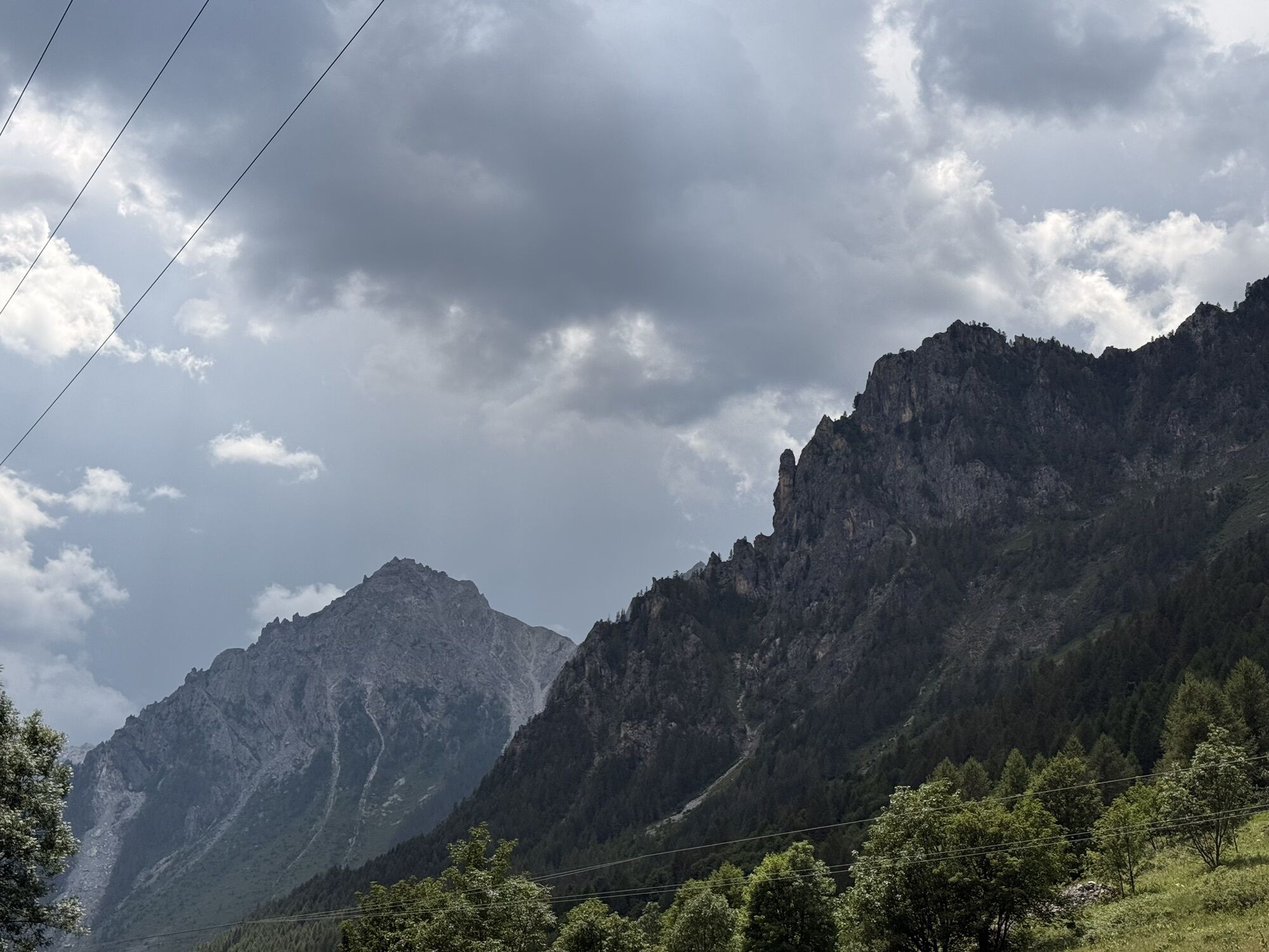
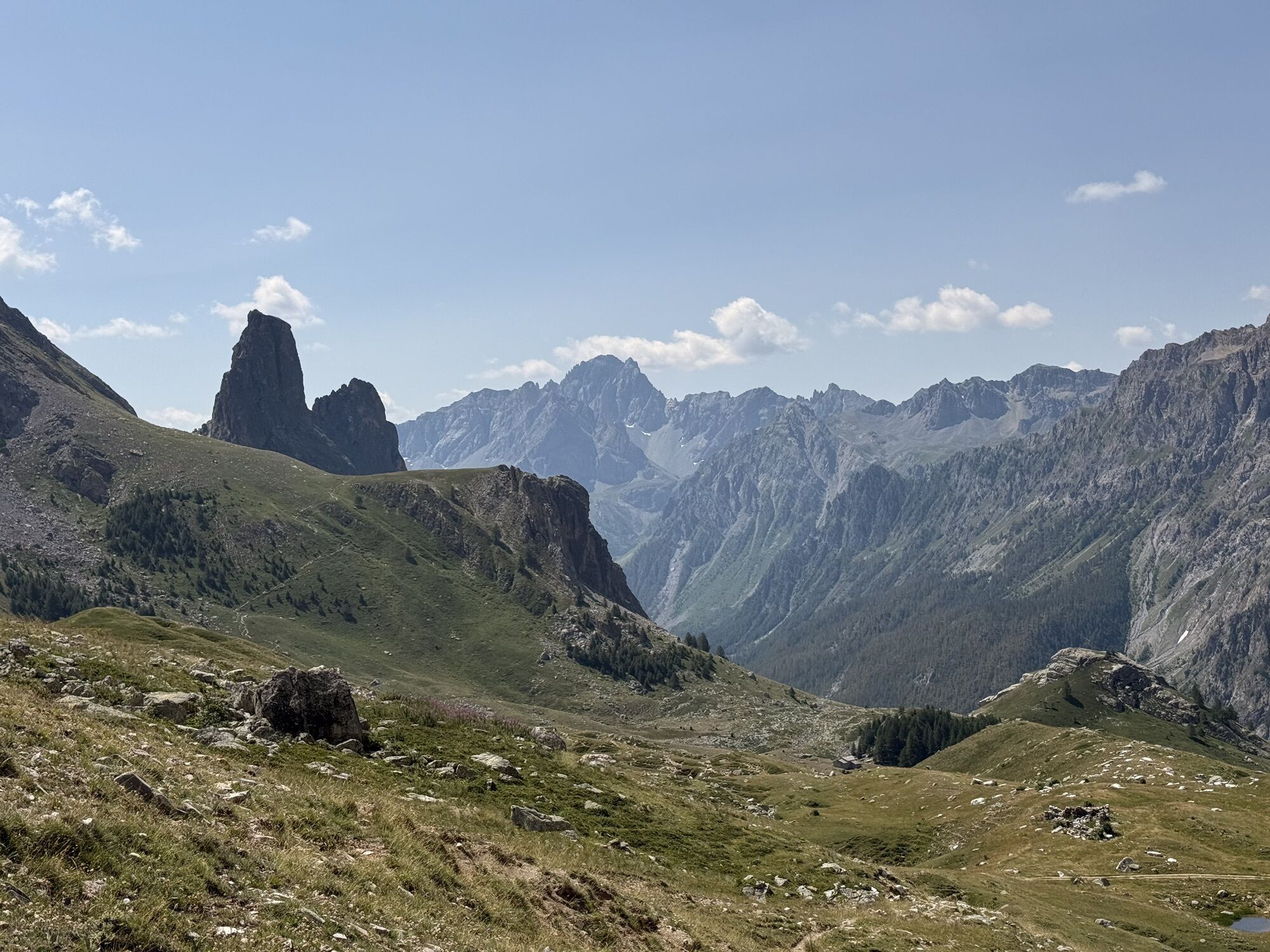
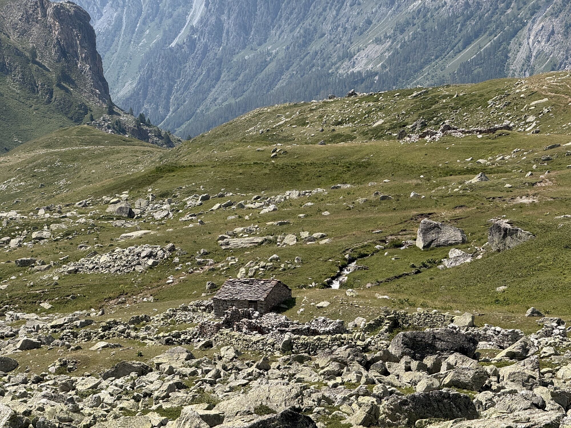
From S. Anna di Bellino proceed on a dirt road and, after crossing a first bridge, ignore the left fork to Colle di Vers to proceed straight ahead. Crossing another bridge the road becomes a partly paved...
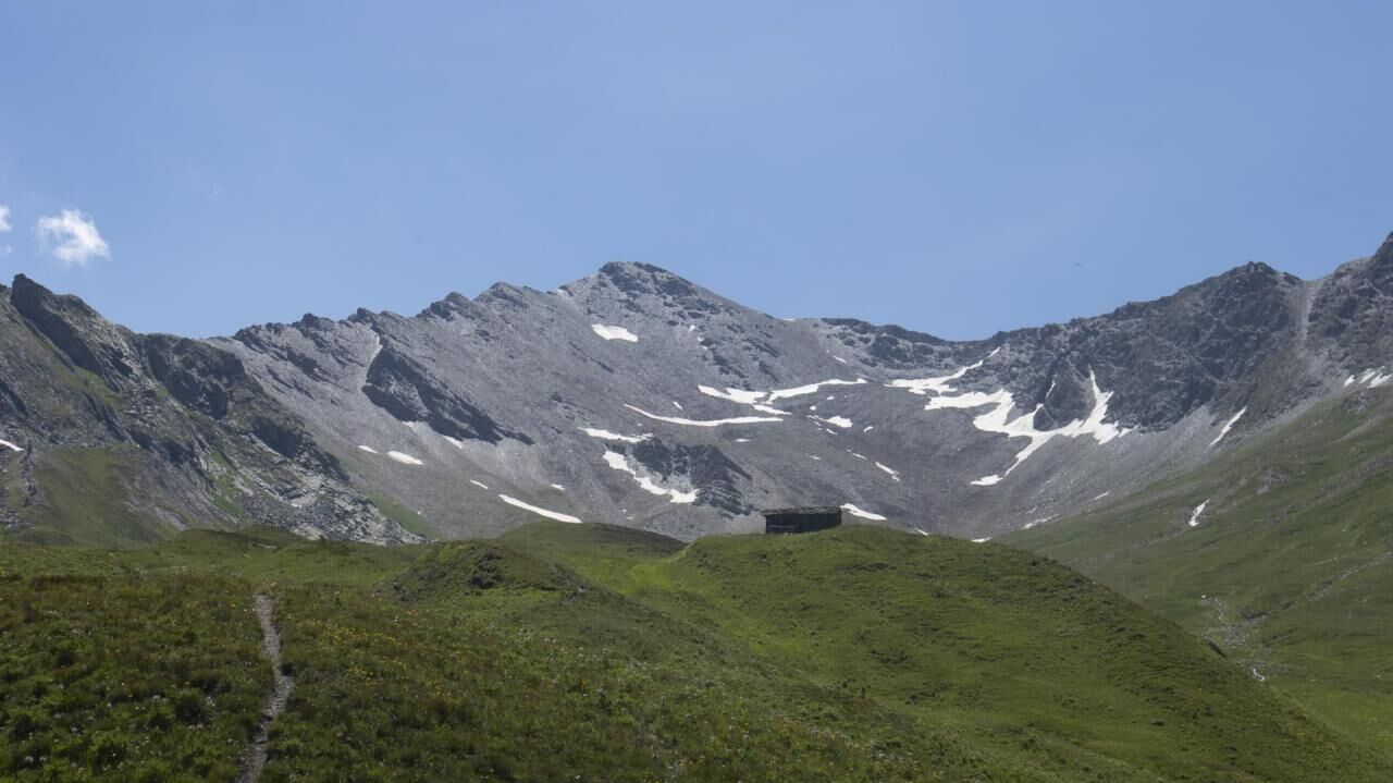
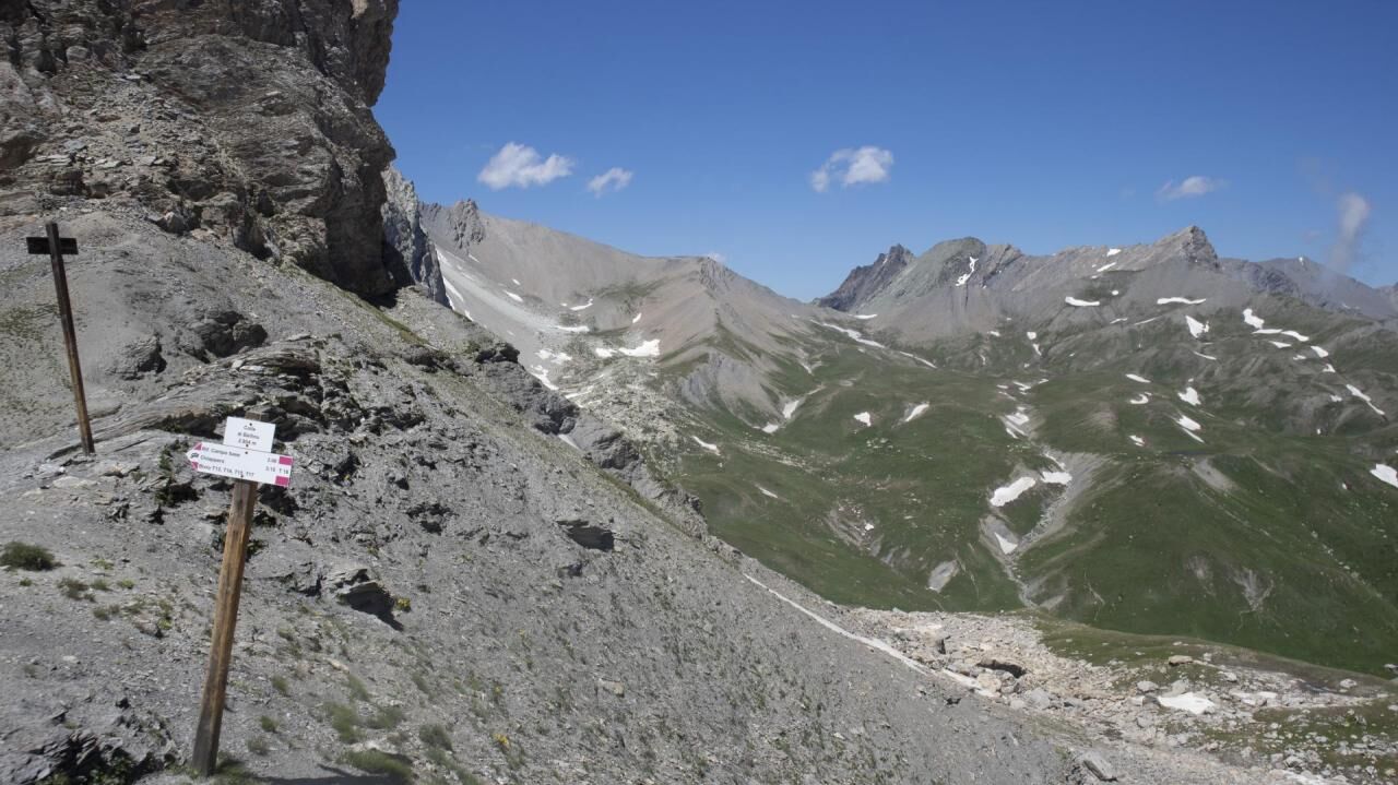
From S. Anna di Bellino proceed on a dirt road and, after crossing a first bridge, ignore the left fork to Colle di Vers to proceed straight ahead. Crossing another bridge the road becomes a partly paved track that climbs between meadows and some grange, ruined and under renovation. At Grange Cruset you then leave to the right the junction with the U26 trail that climbs toward Fiutrusa Pass and continue along the track that goes along a level section entering the Rio di Rui valley. Cross it and continue along the track that with a short climb leads to Pian Ceiol at an elevation of 2070. Crossing the pasture, the track becomes a path and enters Le Barricate, a narrow rock gorge. The trail immediately rises and then goes along a rocky midslope section on the brook, which has recently been fixed and secured by the Regional Forestry Teams. Coming out of the gorge, the trail continues to climb with narrow switchbacks to an elevation of about 2300. You then traverse a midslope section with two fords, the second of which requires some attention given the flow and carrying capacity of the Balma stream. You then come out on a ridge at a hut at 2360 m and cross a wide meadow basin going up the opposite slope. On reaching an altitude of about 2,500 m, a midslope section begins, made difficult by the crossing of two avalanche gullies with strong erosion and material transport in the winter period and a passage under a steep slope with snowfields that persist for a long time in the summer months. Passing this point, one shortly reaches the Autaret grange meeting the U27-U28 junction. The GTA proceeds to the left on U28 toward the Colle di Bellino. The pass is quickly reached after crossing a first slope and coming to a small basin. From here the trail approaches the col with a diagonal that quickly ascends from the east to the 2817 m of the col. It begins to descend on the Maira Valley side with first a steep slope on scree and then continues along the right hydrographic slope of the Rio Autaret valley. A few forks to the right for the Colle di Terrarossa and Col Ciabriera are left out, and on steep, stony terrain you reach the isolated Grangia Turè Soubeyran (2197 m). After a half-hill stretch, the trail bends left and crosses the Rio Autaret, taking it to the grassy basin of the Grange Marin (2143 m) and then descending to the Grange Turra below. From here a section of small road leads to the junction with path T14, which you take to the left to start climbing toward Colle Greguri. You quickly gain the 2310 meters of the pass with splendid views of the Castello rock and Rocca Provenzale. On the opposite slope you first descend to the edge of a stratum of coarse debris in narrow switchbacks. At an altitude of about 1810, you then leave trail T12, which continues toward the Chiappera hamlet, to take a steep variant that leads directly to Ponte Soubeyran and the Campobase Refuge.


Tak
 Uzyskaj wgląd Zawsze na żywo z ponad 9 500 kamer internetowych. bergfex Jako użytkownik Pro, możesz teraz zobaczyć odpowiednie kamery internetowe dla wielu wycieczek w aplikacji wycieczki od. Pozwala to na bezpośredni podgląd aktualnych warunków.
 Popularne wycieczki w okolicy
- 4,5
Acceglio, bric boscasso
średniWycieczka narciarska 12,1 km - 5,0
Occitan routes: Stage 6 Elva - San Michele di Prazzo
średniWędrówka 11,5 km - 5,0
Occitan Routes: Stage 8 Borgata Ussolo - Borgata Chiappera
średniWędrówka 14,5 km - 5,0
Chiappera- Spaziergang
światłoWędrówka 8,39 km - 5,0
Goldtoni - Alpenbogen A077 Refugium Campo-Bousieyas
średnidługodystansowy szlak pieszy 34,1 km - 3,5
Occitan Routes Stage 5 | San Martino Inferiore - Elva
średniWędrówka 6,86 km GRP® Tour de la Font Sancte
średniWędrówka 42,8 kmSaint-Véran- Col de la Noire - Col Longet - Col Blanchet
średniWędrówka 19,4 km- 5,0
Goldtoni - Alpenbogen A076 Refugio de la Cime-Refugium Campo Basso
średnidługodystansowy szlak pieszy 29,4 km - 4,0
Val Varaita Trekking: Stage 6A Borgata Pleyne - Colle di Vers
średniWędrówka 10,0 km
Wędrówki i tropienie


Nie przegap ofert i inspiracji na następne wakacje
Twój adres e-mail została dodana do listy mailingowej.





