






DI VALLE IN VALLE
Local thematic itinerary, called "DI VALLE IN VALLE" connecting the municipalities of Rossa-Cervatto-Cravagliana-Fobello-Rimella, for the enhancement of mountain environments linked to seasonal mountaineering...
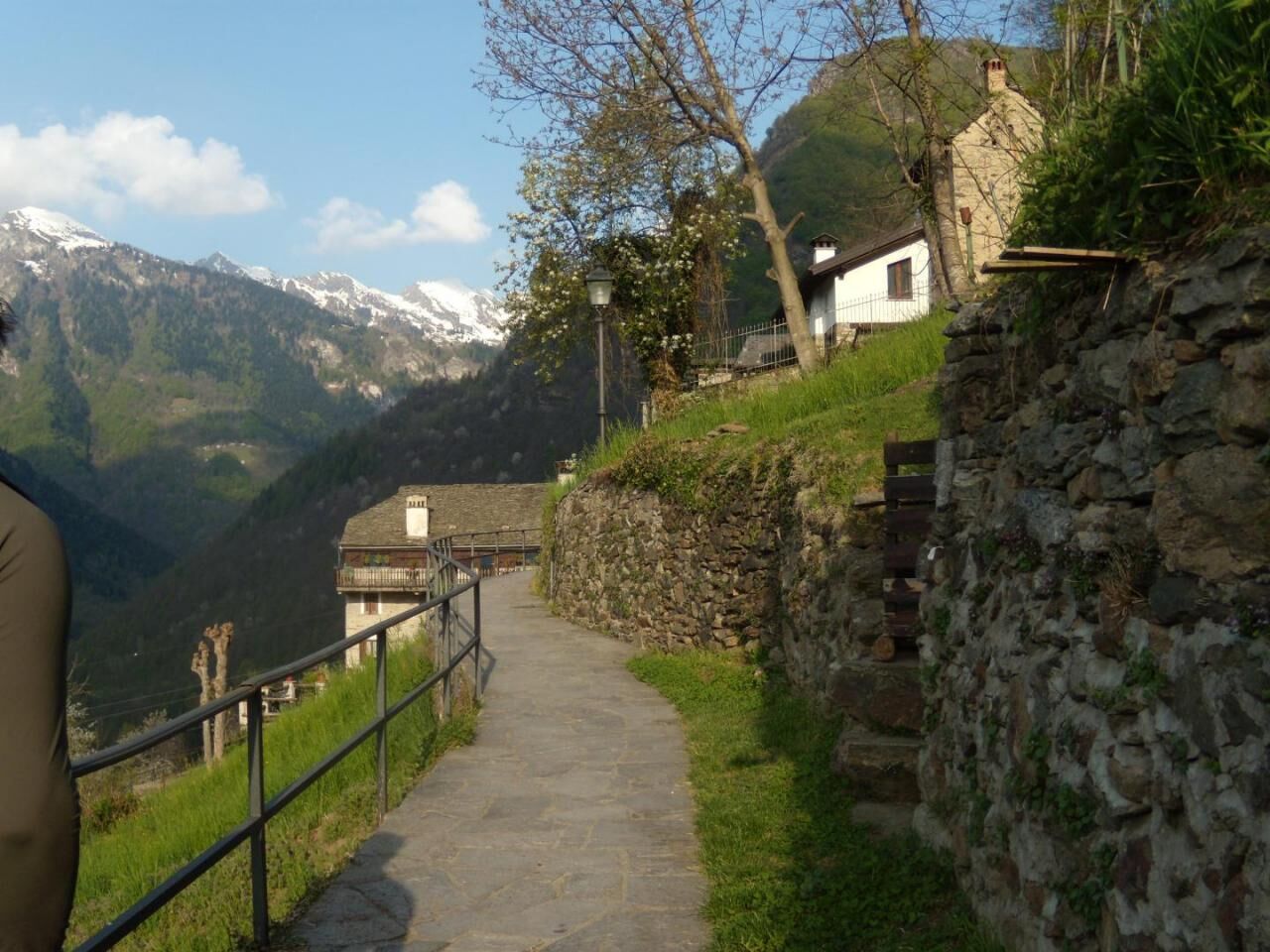
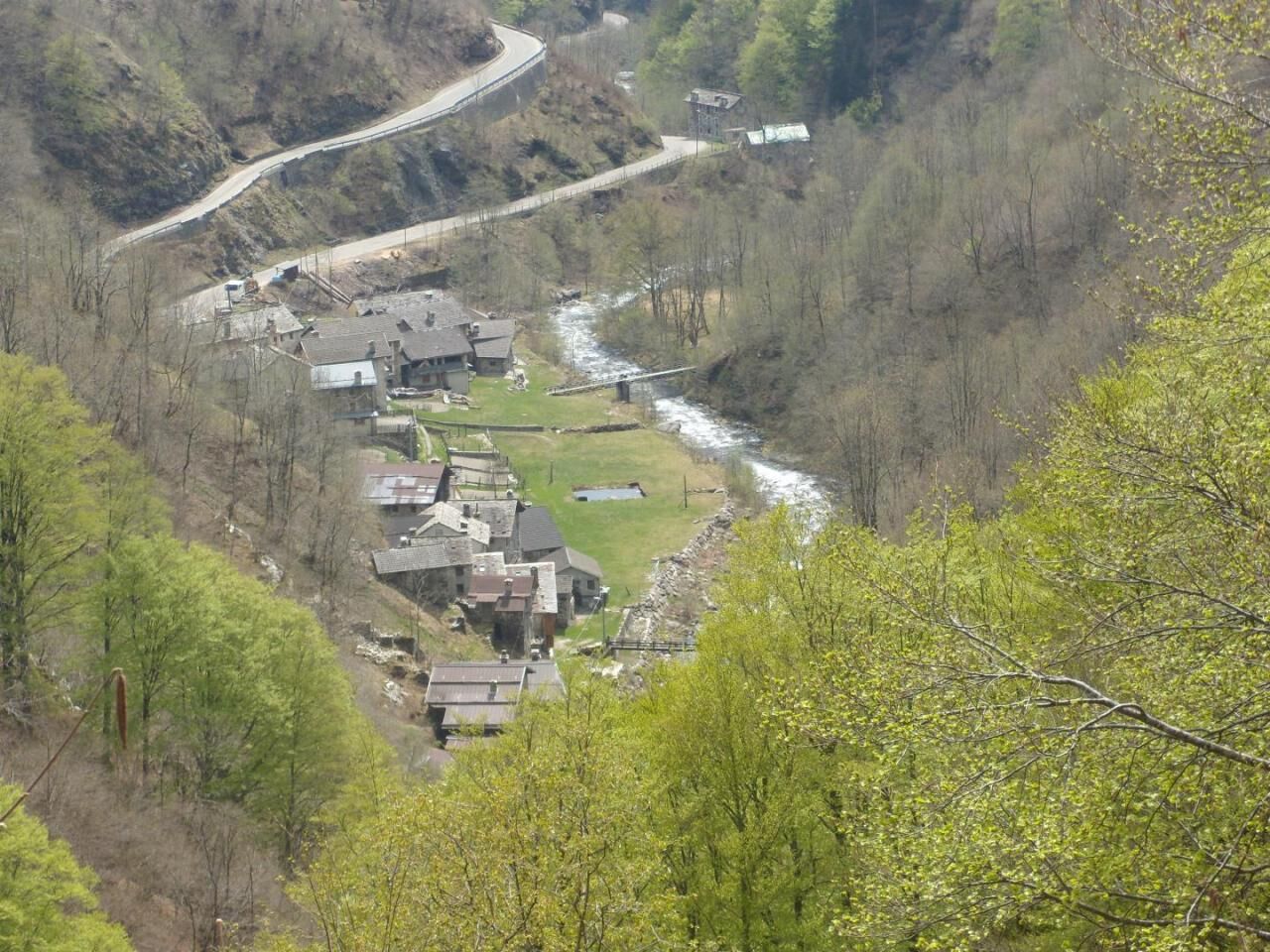
Local thematic itinerary, called "DI VALLE IN VALLE" connecting the municipalities of Rossa-Cervatto-Cravagliana-Fobello-Rimella, for the enhancement of mountain environments linked to seasonal mountaineering (high mountain pastures) and the maintenance of the meadow environment alpine pasture. The itinerary develops using paths historically used to connect the mountain pastures and residential areas at the bottom of the valley between Val Sermenza and Val Mastallone.Each stage involves local realities of active livestock farms and has simply equipped free rest points and managed catering outlets or accommodation facilities. The itinerary has complete stages that can be covered either in one day or can be linked into two or three days, and which each have characteristics of homogeneity and completeness in themselves, in order to allow them to be covered even over several non-continuous visit days.Along the stages you cross a UNESCO site (geopark), Areas of the Nature network, reach the protected area of the Alta Valsesia Natural Park and connect and intersect the “Valli della Fede” and “The paths of Art” itineraries. The most marked naturalistic evidence (such as the breeding sites of the Alpine frog) are highlighted via illustrative noticeboards located along the itinerary. The itinerary has also been designed so that it can also be seen as a local variation to the GTA to which it connects in the Piana di Santa Maria area, such as to allow a stop and more in-depth knowledge of the two valleys crossed. It is possible to follow the stages nos. 1, 1A up to Sella Camplasco joining 1B, 2 and 3 up to Alpe la Res with electric and muscular mountain bike.


Tak
mixed TIM - VODAFONE
Provincial road 299 of Valsesia up to Balmuccia and SP of Val Sermenza up to the car park in the capital of Rossa Provincial road 299 of Valsesia up to Varallo and SP of Val Mastallone up to the car park in the hamlet of Grondo di Rimella
FLEXIBUS on-call service with terminus in VARALLO unionemontanavalsesia.it/Servizi/Usare un mezzo di transport/Urban - Extra-urban transport
Rossa Capital - Vetta Pizzo Tracciora - Villa Banfi - Sella di Camplasco - Oro Negro - Cervatto Capital - The hamlets of Cervatto and Fobello crossed (Oro Balme, Giavine, Cadvilli, Torno, Roj, Piana S.Maria, Boco inf., Riva , Boco Sup., Belvedere) - Alpe La Res. The ethnographic museums of Fobello and Rimella. The protected area of the Roj valley. The river environments of the Sermenza, Cervo, Mastallone and Landerwasser streams and the fishing and selection reserves of the fish fauna.
Popularne wycieczki w okolicy
-
Alpe Piè di Baranca - Colle d'Egua
średniWędrówka 12,2 km -
3,0
Omegna Valley cycle
średniE-Bike 38,8 km -
Carcoforo- colle del termo- rima
średniWycieczki górskie 8,38 km -
Ciclabile della Valsesia: Tappa 5 Piode - Alagna Valsesia
ciężkiKolarstwo długodystansowe 15,5 km -
Ciclabile della Valsesia: Tappa 4 Scopello - Piode
ciężkiKolarstwo długodystansowe 32,1 km -
Ciclabile della Valsesia: Tappa 3 Varallo - Scopello
ciężkiKolarstwo długodystansowe 19,8 km -
Stra' Granda Stage 2: Frazione di Pontegrande - Frazione Staffa
światłoWędrówka 18,1 km -
Valsesia Cycle Path
ciężkiKolarstwo długodystansowe 94,4 km -
Balmuccia-Alagna cycle path
średniMountainbike 29,1 km -
Pie’baranca- colle d’egua- carcoforo
średniWycieczki górskie 9,84 km
Wędrówki i tropienie


Nie przegap ofert i inspiracji na następne wakacje
Twój adres e-mail została dodana do listy mailingowej.





