


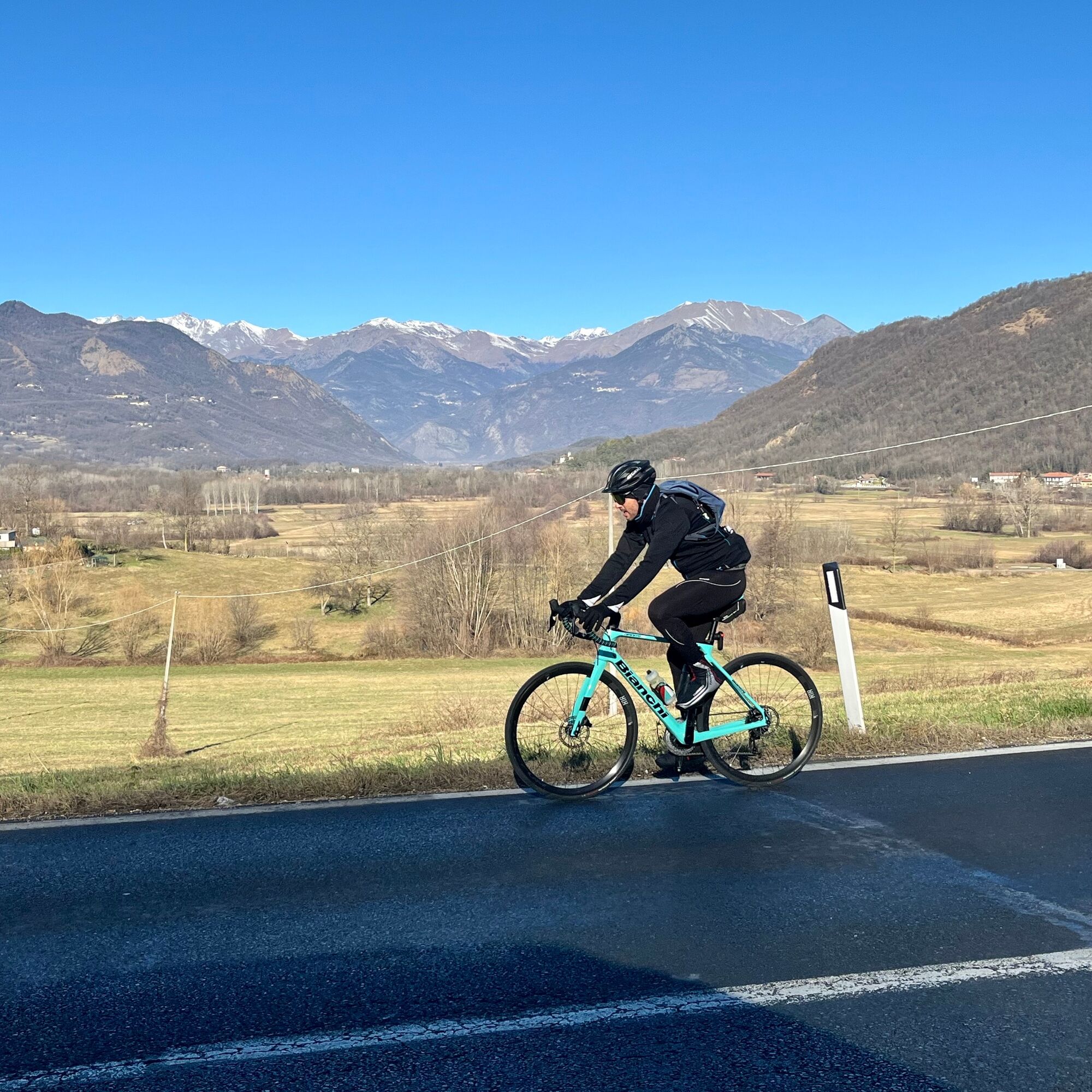
RIVALTA DI TORINO - Road bike to Verna di Cumiana from Bicigrill Rivalta Torinese
Poziom trudności: 1
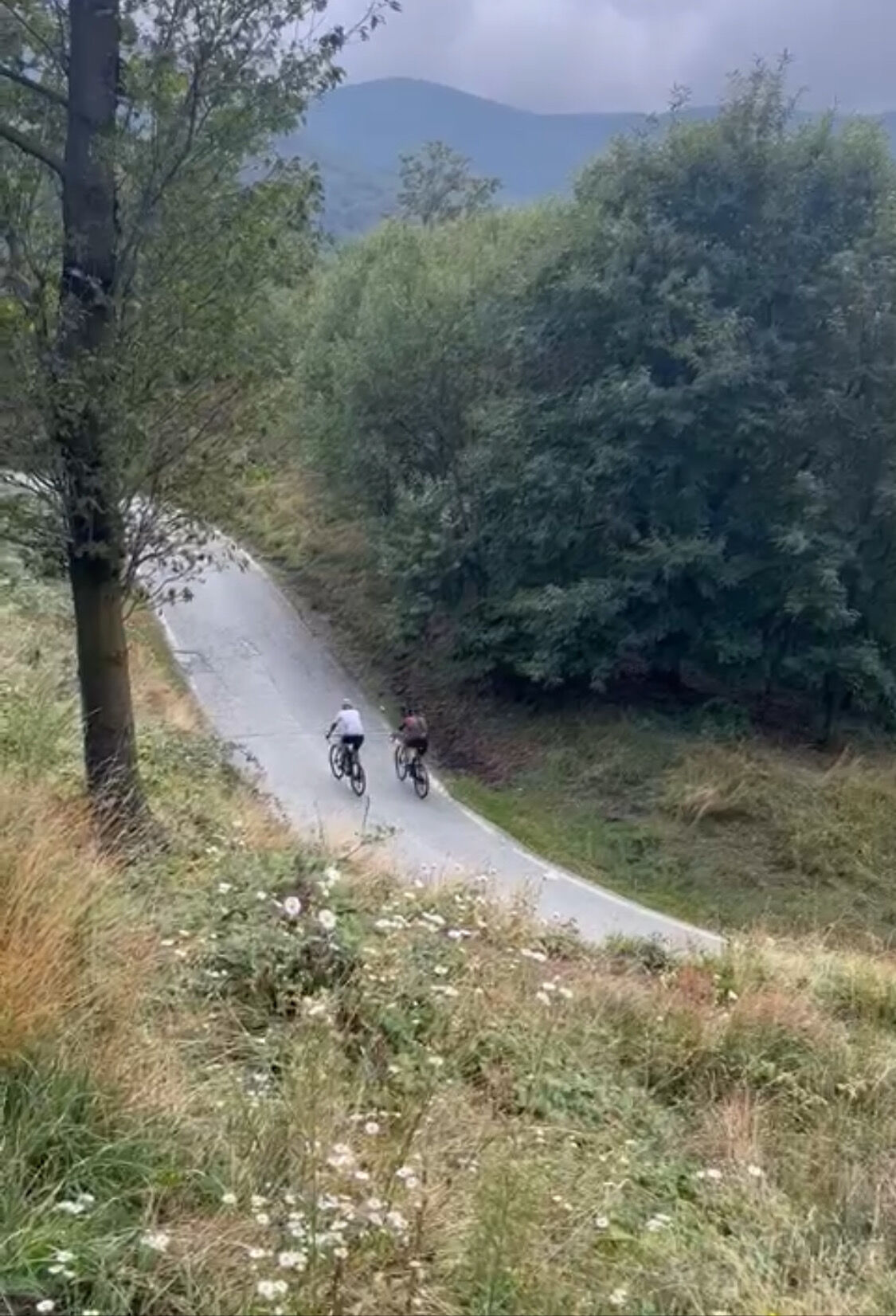
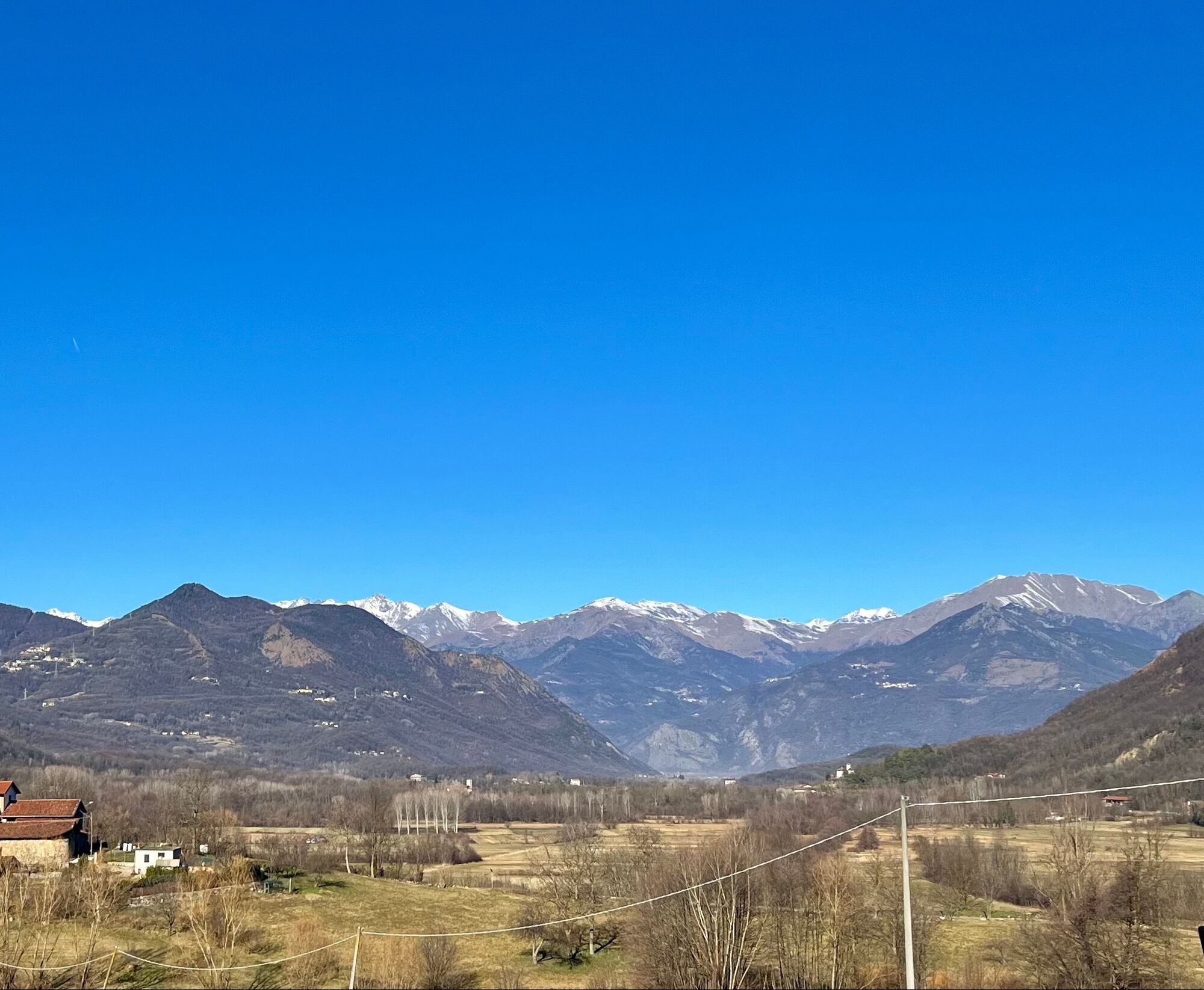
Route suitable both for intense training and for a moderate pace cycling tour. Follow the Valsangone upstream along the stream that gives it its name, up to the beautiful town of Giaveno. Then climb to...
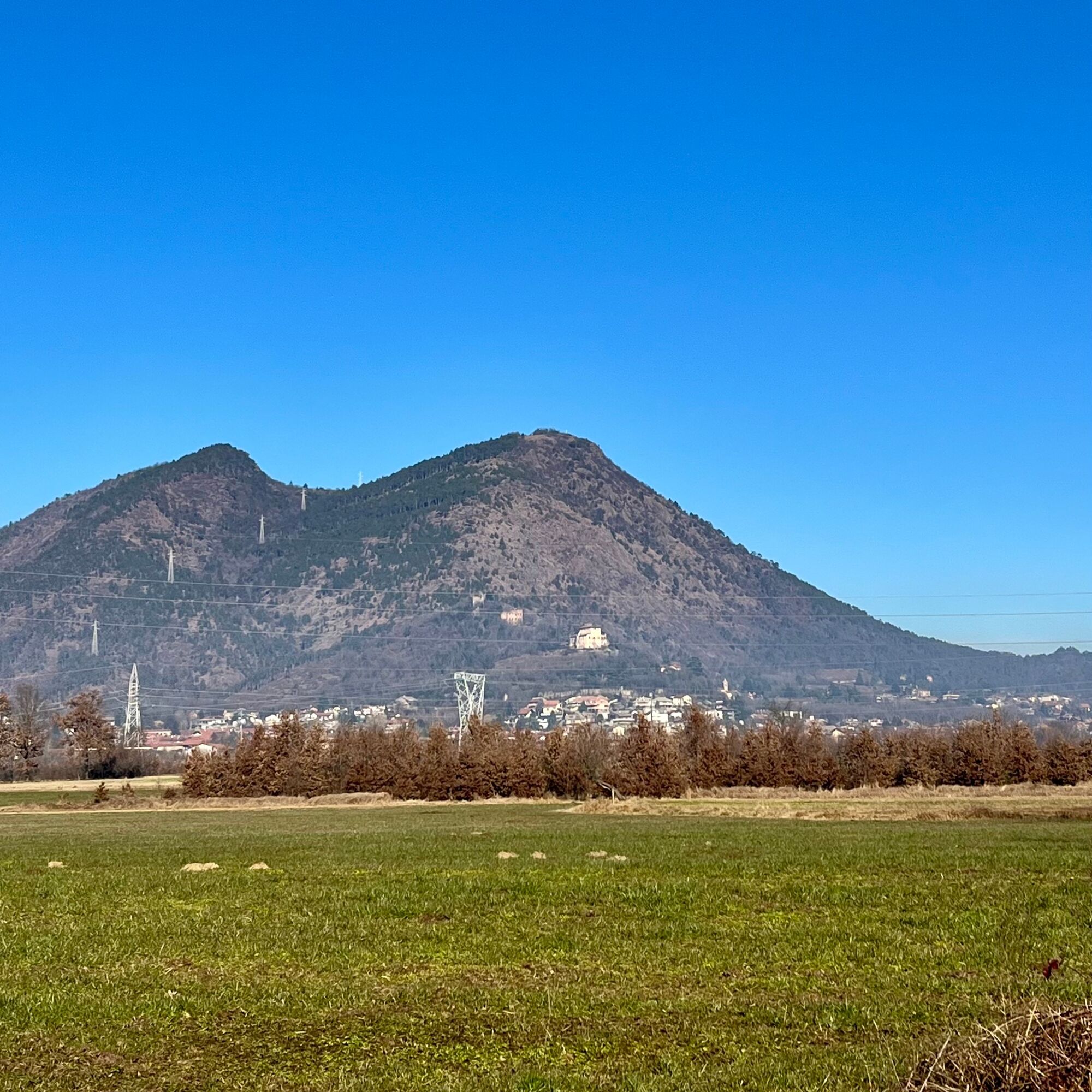
Route suitable both for intense training and for a moderate pace cycling tour. Follow the Valsangone upstream along the stream that gives it its name, up to the beautiful town of Giaveno. Then climb to Colletta di Cumiana and the Verna hamlet, immersed in dense woods that provide some coolness in summer. The descent ends in the town of Cumiana, before a flat return to the starting point.

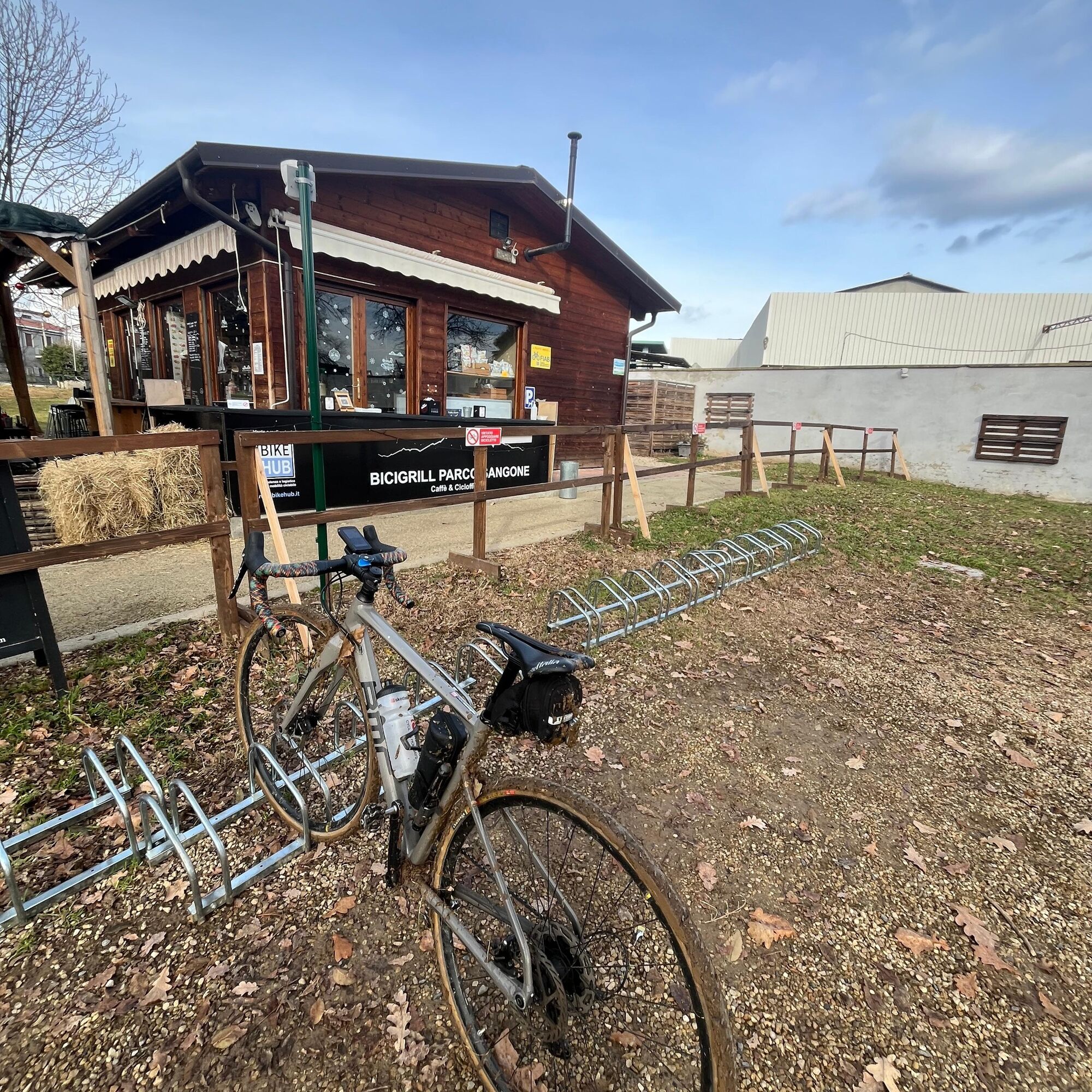
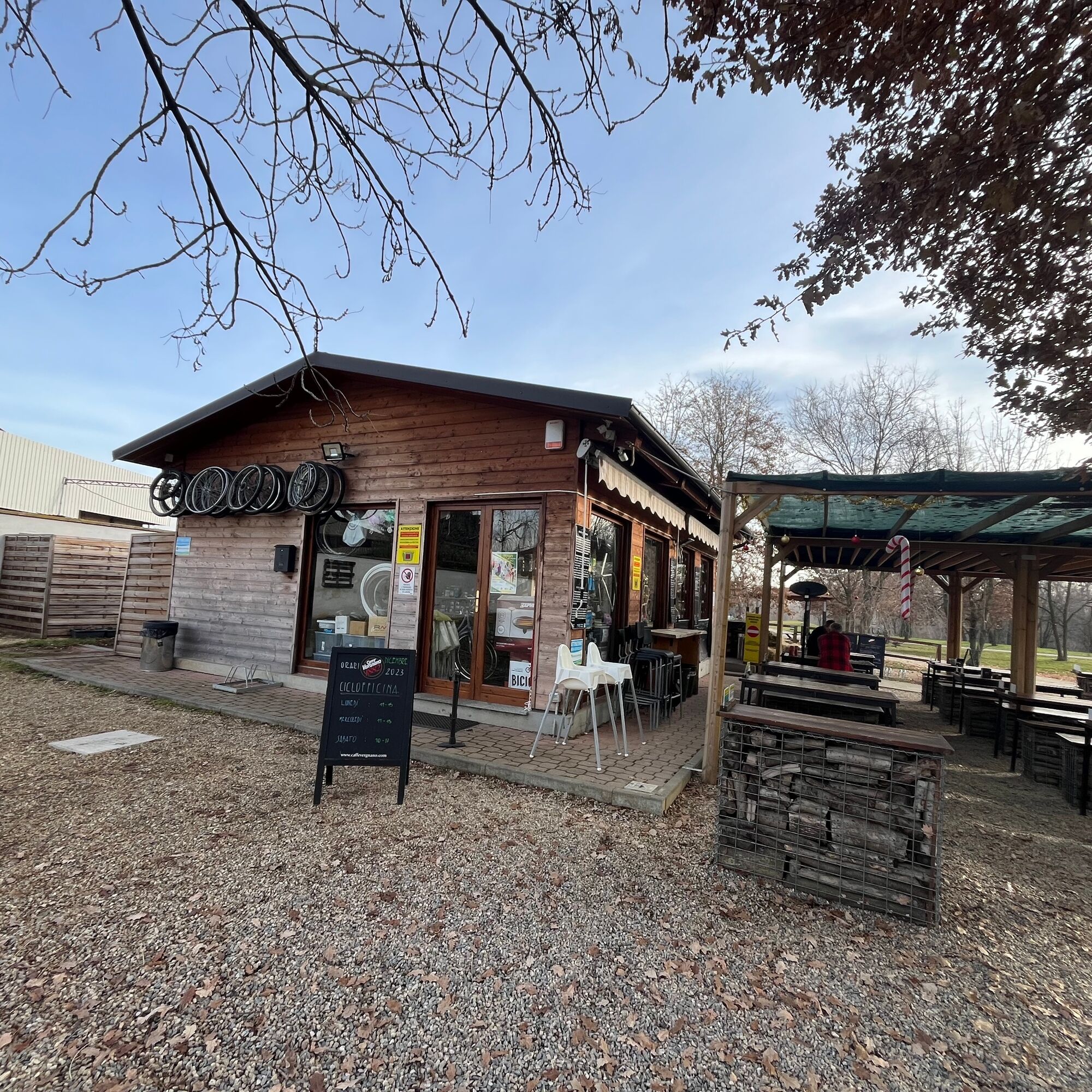
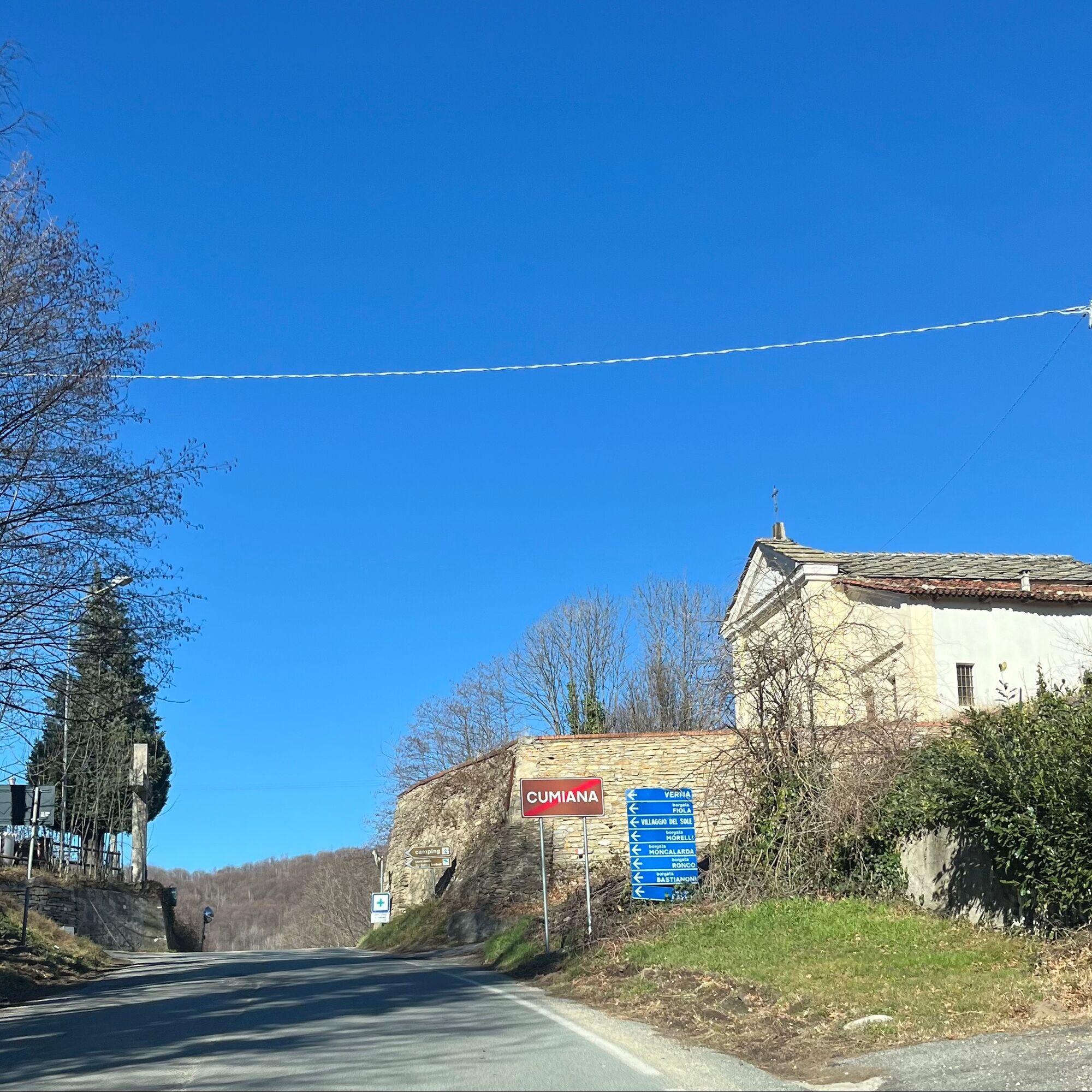
From Bicigrill of Rivalta T.se follow the cycle path towards Prabernasca. At the first roundabout turn right following the cycle path that returns to the shore of the Sangone. Always proceed on the cycle path up to Sangano. At the traffic light in the centre of Sangano take the state road and follow it to the Sanctuary of Trana. Continue towards Giaveno. From the centre of Giaveno follow signs for Cumiana. At the top of Colletta di Cumiana turn right towards the Fiola hamlet and climb up to the Verna hamlet. Descend on the opposite side to Cumiana, passing close to the Picchi hamlet. From Cumiana follow via Domenico Carutti and then via Chisola continuing on SP 193 up to Piossasco. Take Via Rivalta and return to Prabernasca covering the last km on the cycle path towards the Bicigrill.
Road bike or touring bike
The descent from Verna to Cumiana is shaded in many sections and can be slippery, especially in the winter months
About 20 minutes by car from Turin
Rivalta Torinese is served by public transport, but bike transport is not possible.
Parking near the Bicigrill of Rivalta T.se
1
Popularne wycieczki w okolicy
-
4,7
On the summit of the magical Musiné
światłoWędrówka 6,94 km -
Avigliana Lakes - Easy route, ideal for families with children
światłoWędrówka 9,25 km -
CASELETTE - Monte Musiné
średniWędrówka 7,52 km -
5,0
Unspoiled woods and ancient hamlets in Valsangone - Selvaggio Loop - Bagaggera
światłoWędrówka 9,08 km -
PINEROLO Route to Monte Muretto
średniWędrówka 2,12 km -
Easy route - Monte Cuneo (Moncuni) Loop route from Reano
światłoWędrówka 7,97 km -
A walk in the Megalithic - The Menhirs of Pietraborga - Direct route from the Torrioni
średniWędrówka 9,30 km -
CUMIANA by MTB on the Amphitheater Path
średniMountainbike 32,4 km -
ROLETTO Upslowtour - Ring 15 Pedemontano
ciężkiJazda na rowerze 29,8 km -
From Giaveno to Colletto del Forno by MTB
średniMountainbike 19,8 km
Wędrówki i tropienie


Nie przegap ofert i inspiracji na następne wakacje
Twój adres e-mail została dodana do listy mailingowej.