


MASSELLO MTB to Bergeria del Ghinivert
Poziom trudności: 2
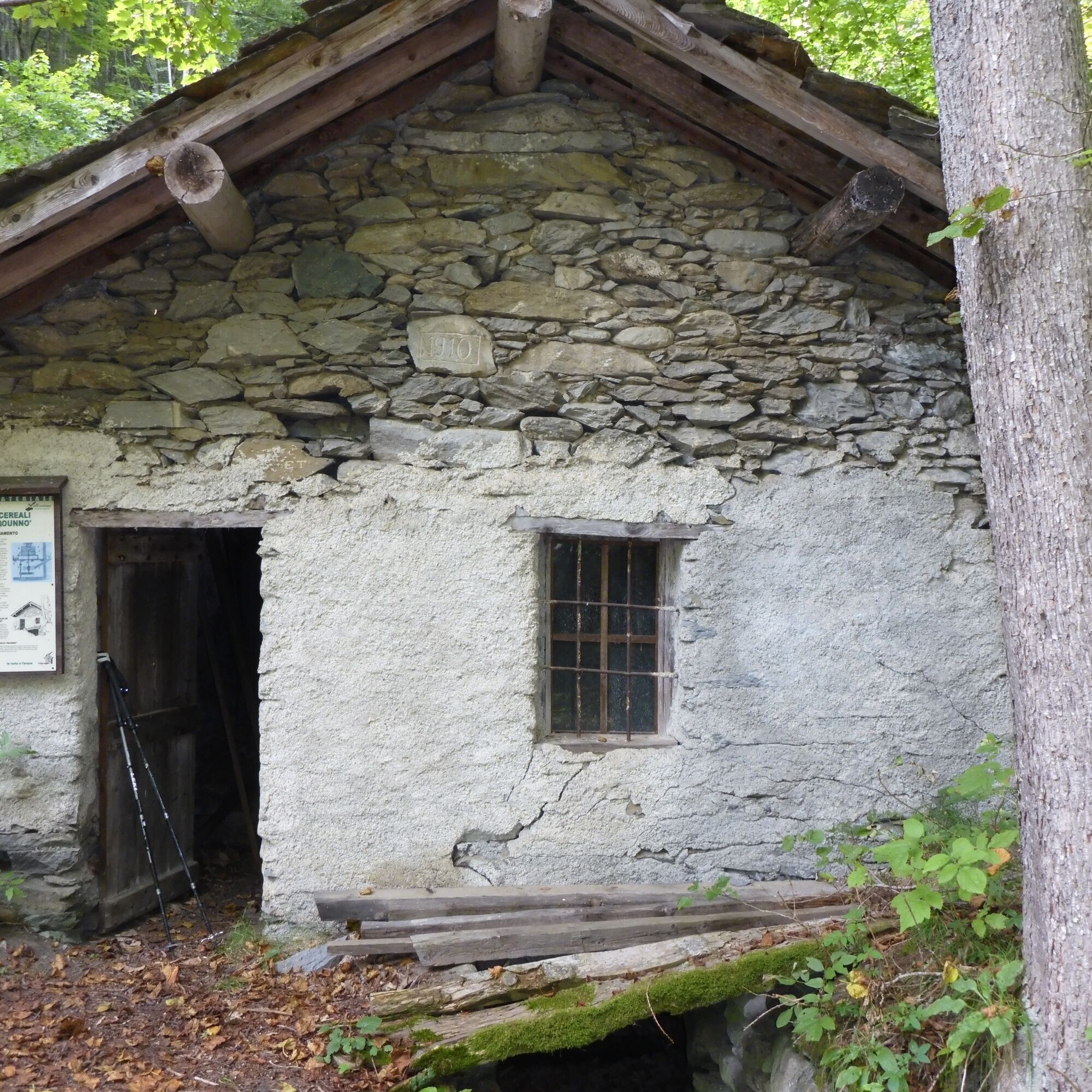
From the Foresteria parking lot, cross the stream and follow the dirt road that climbs the valley bottom up to the "Gorjo Trounno" mill (visit possible), near the Piccolo Passet village. Then take the...
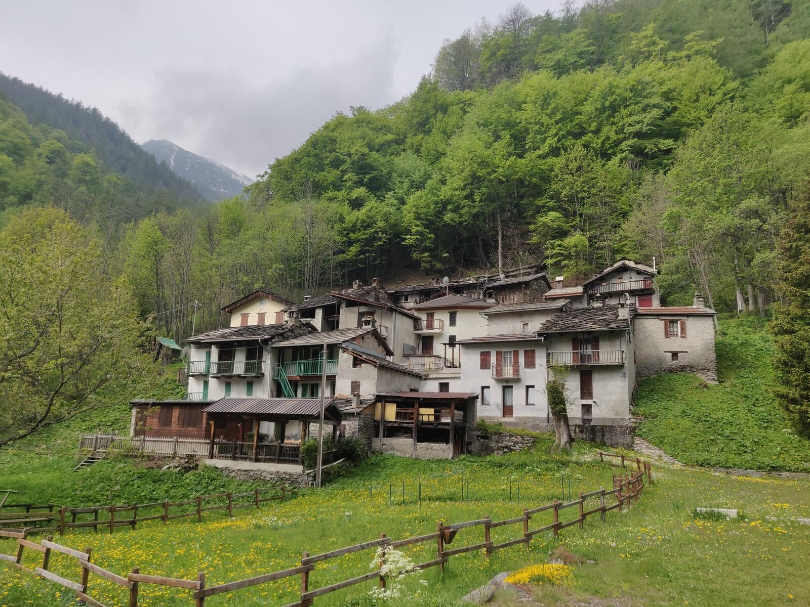
From the Foresteria parking lot, cross the stream and follow the dirt road that climbs the valley bottom up to the "Gorjo Trounno" mill (visit possible), near the Piccolo Passet village. Then take the paved road that ends at the village of Balziglia (1,370 m), the last at the valley head, divided in two by the Germanasca di Massello stream. Here there is a Historical Museum dedicated to the heroic resistance of the Waldensians besieged by the French army in 1689-1690.
Cross the bridge and then continue to climb on the dirt road keeping to the left. At about 2,000 m, face a short descent reaching the Bergeria del Ghinivert (1,950 m). The return follows the uphill road.
It is possible to make a variant for the return by taking the TOS200 trail that climbs to the Colletto di Salza and then descends to the village of Missiera and then to Didiero (Salza di Pinerolo), but in some stretches it is necessary to carry the bike by hand.


Tak
Proper clothing and footwear suitable for the environment and season are recommended.
Before undertaking any excursion, it is advisable to check weather reports or ask for information at local Tourist Offices.
It is good practice not to undertake an excursion alone, always inform someone of your destination.
Do not litter the environment but carry waste with you, and collect any left by others if possible.
Travel times indicated are approximate and can vary depending on weather conditions, your abilities, and the type of bike used.
For those coming from Turin, follow the A55 to Pinerolo, then take the SR23 of Sestriere and follow the signs for Prali/Salza/Massello.
At the starting point there is a large free parking area
2
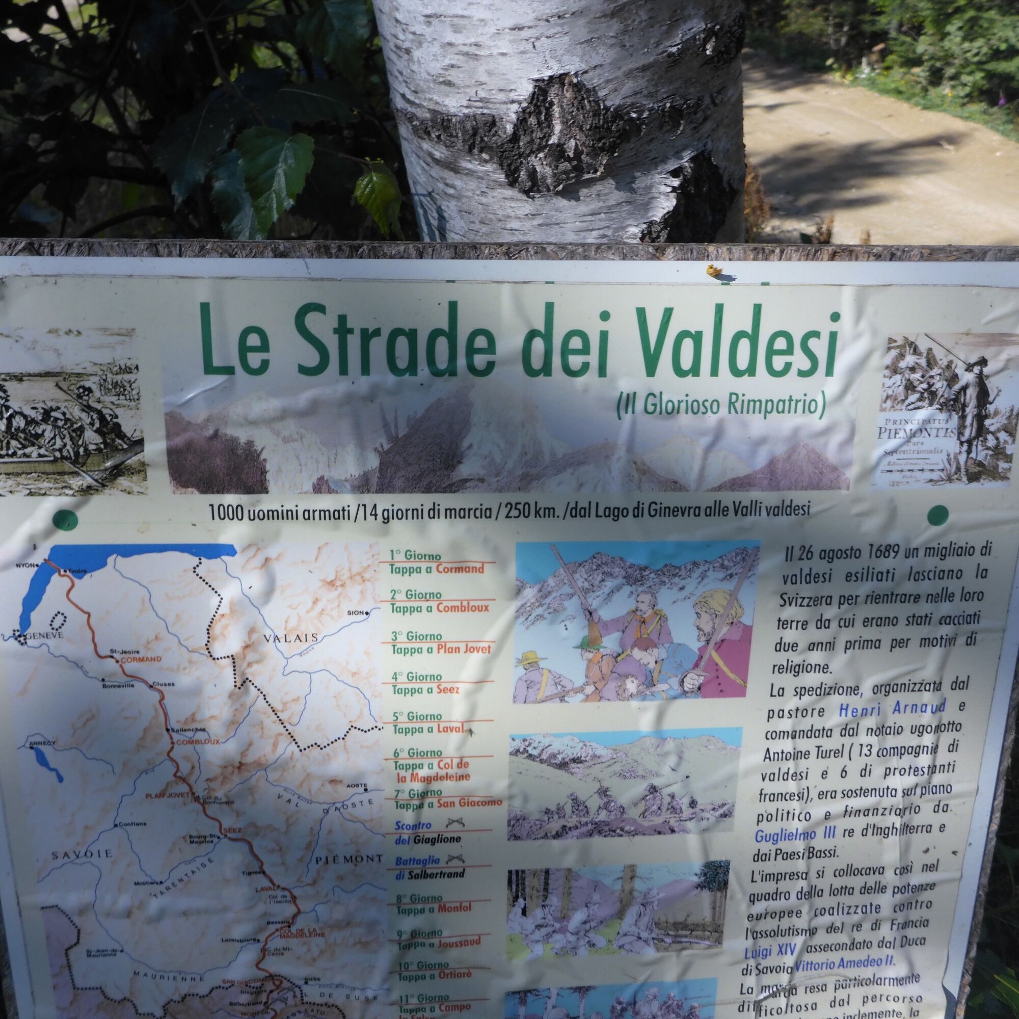
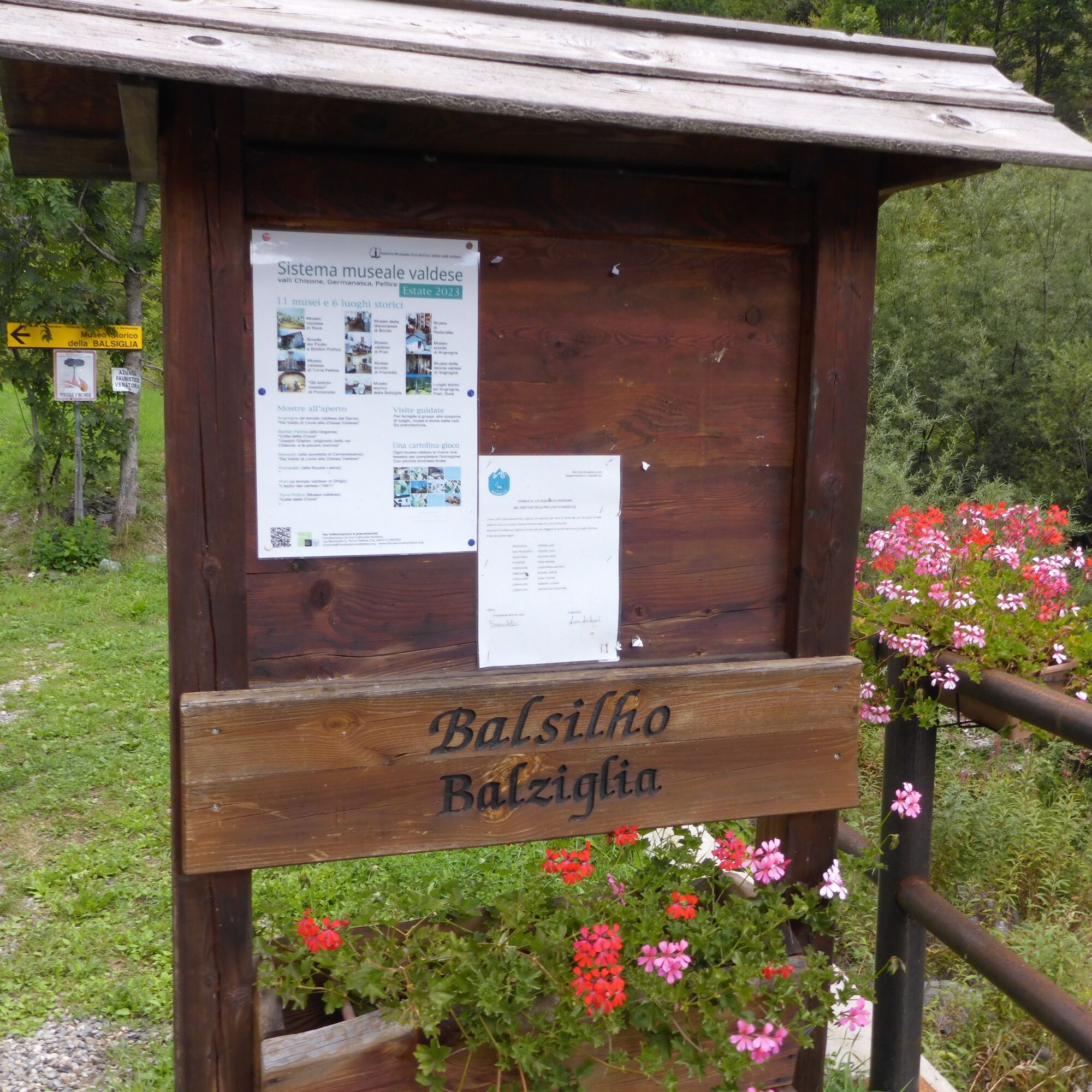
The hamlet of Balziglia was the scene of a heroic resistance in the years 1689-1690 by the Waldensians, besieged on the mountain behind the village, called "Castle", by the French army that vainly tried to massacre them after their return to the valleys following the Glorious Return. To commemorate this important episode and the entire story of the Waldensians, the Balziglia Historical Museum was erected in the village.
Above Balziglia is the majestic Pis waterfall, of remarkable scenic beauty and a true symbol of the village. The waterfall, on the trail leading to the Albergian pass, is at about 2,000 m elevation, occupies the center of the valley and is clearly visible after less than an hour's walk.
Popularne wycieczki w okolicy
-
The Fort Roads - stage 11 from Massello to Prali
ciężkiTrasa pielgrzymki 13,7 km -
La Via dei Saraceni (Sauze d'Oulx)
średniMountainbike 33,6 km -
SAUZE DI CESANA Valle Argentera
średniMountainbike 30,7 km -
PRALI Rocca Bianca Loop
ciężkiMountainbike 17,9 km -
Le Strade dei Forti - stage 6 from Perosa Argentina to Fenestrelle
średniTrasa pielgrzymki 19,4 km -
SAUZE DI CESANA Valle Argentera : Brusà del Plan- Ponte Montenero
światłoWędrówka 6,02 km -
SAN GERMANO CHISONE Colle Lazzarà Loop
ciężkiMountainbike 29,6 km -
PERRERO The Lakes of Conca Cialancia
ciężkiMountainbike 21,6 km -
The Strade dei Forti - stage 5 from San Germano Chisone to Perosa Argentina
ciężkiTrasa pielgrzymki 15,8 km -
PRALI Thirteen Lakes - Colle Giulian - Villanova
średniMountainbike 19,0 km
Wędrówki i tropienie


Nie przegap ofert i inspiracji na następne wakacje
Twój adres e-mail została dodana do listy mailingowej.