


Randoaleramica - On the borders of Monferrato of Aleramo by road bike
Poziom trudności: 4
Fiab Monferrato has created this cycling route that runs through the territory of Monferrato, recalling the legendary ride of Aleramo, founder of the Aleramic dynasty of Monferrato.
It is certainly...
Fiab Monferrato has created this cycling route that runs through the territory of Monferrato, recalling the legendary ride of Aleramo, founder of the Aleramic dynasty of Monferrato.
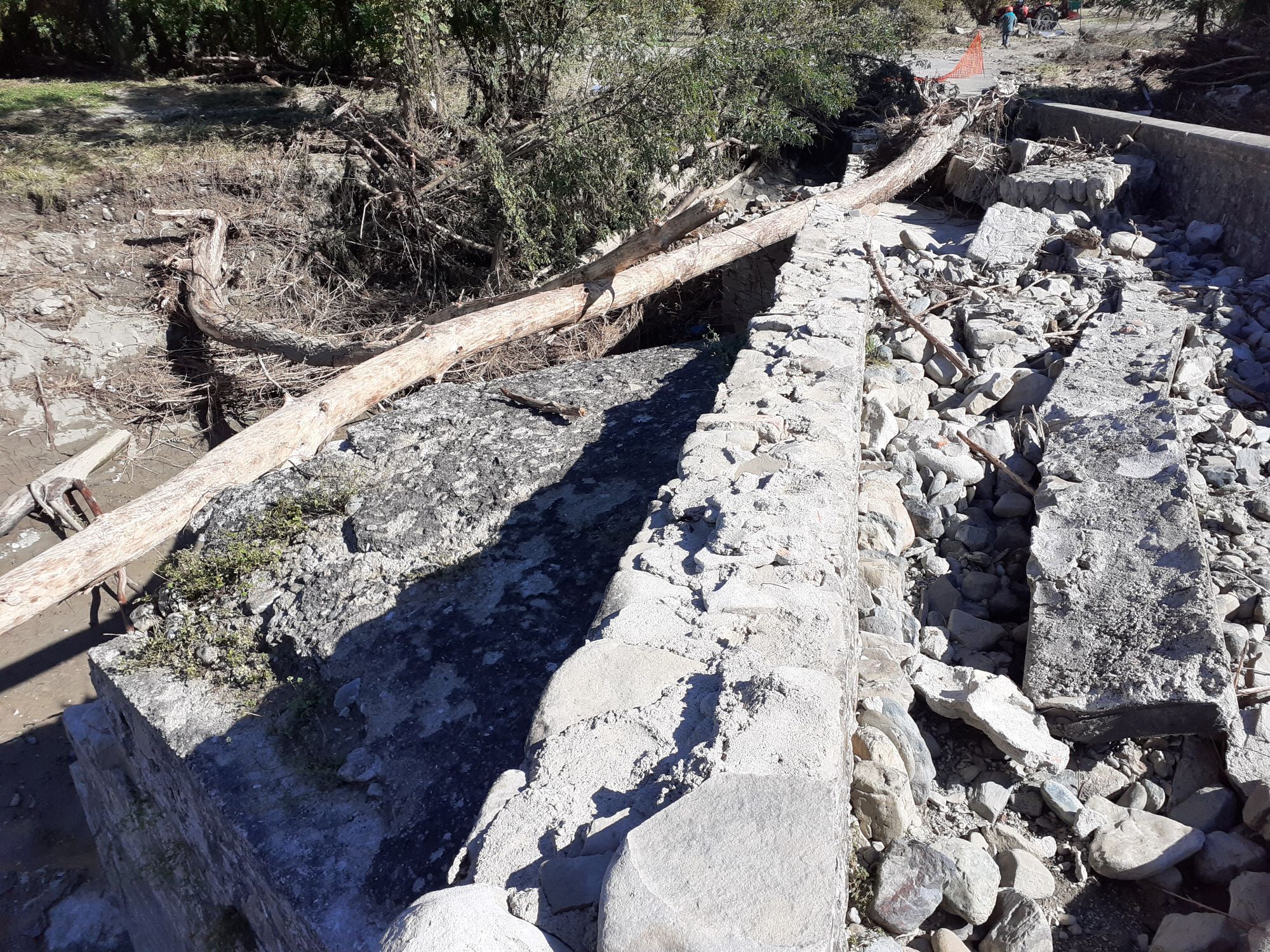
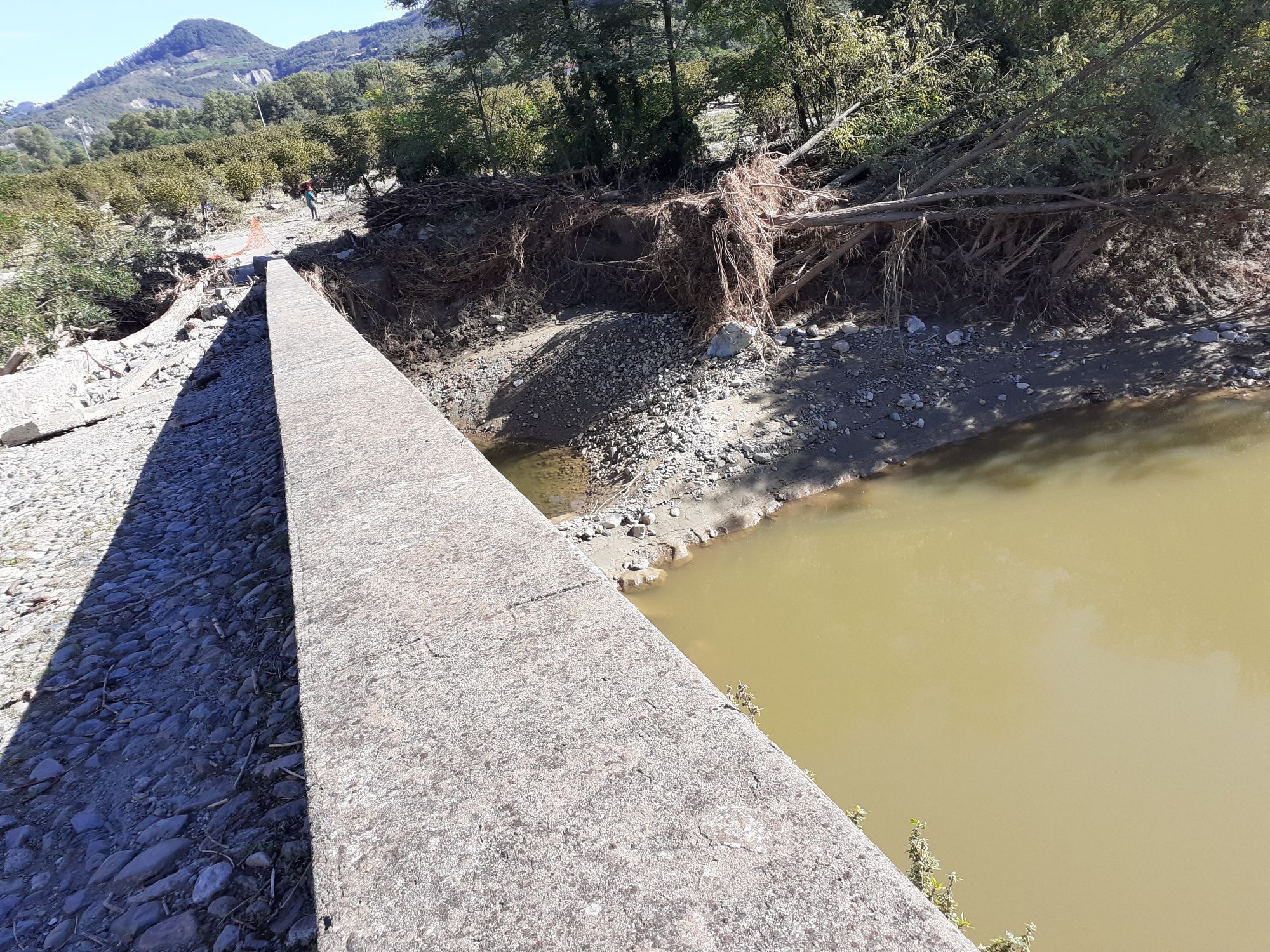
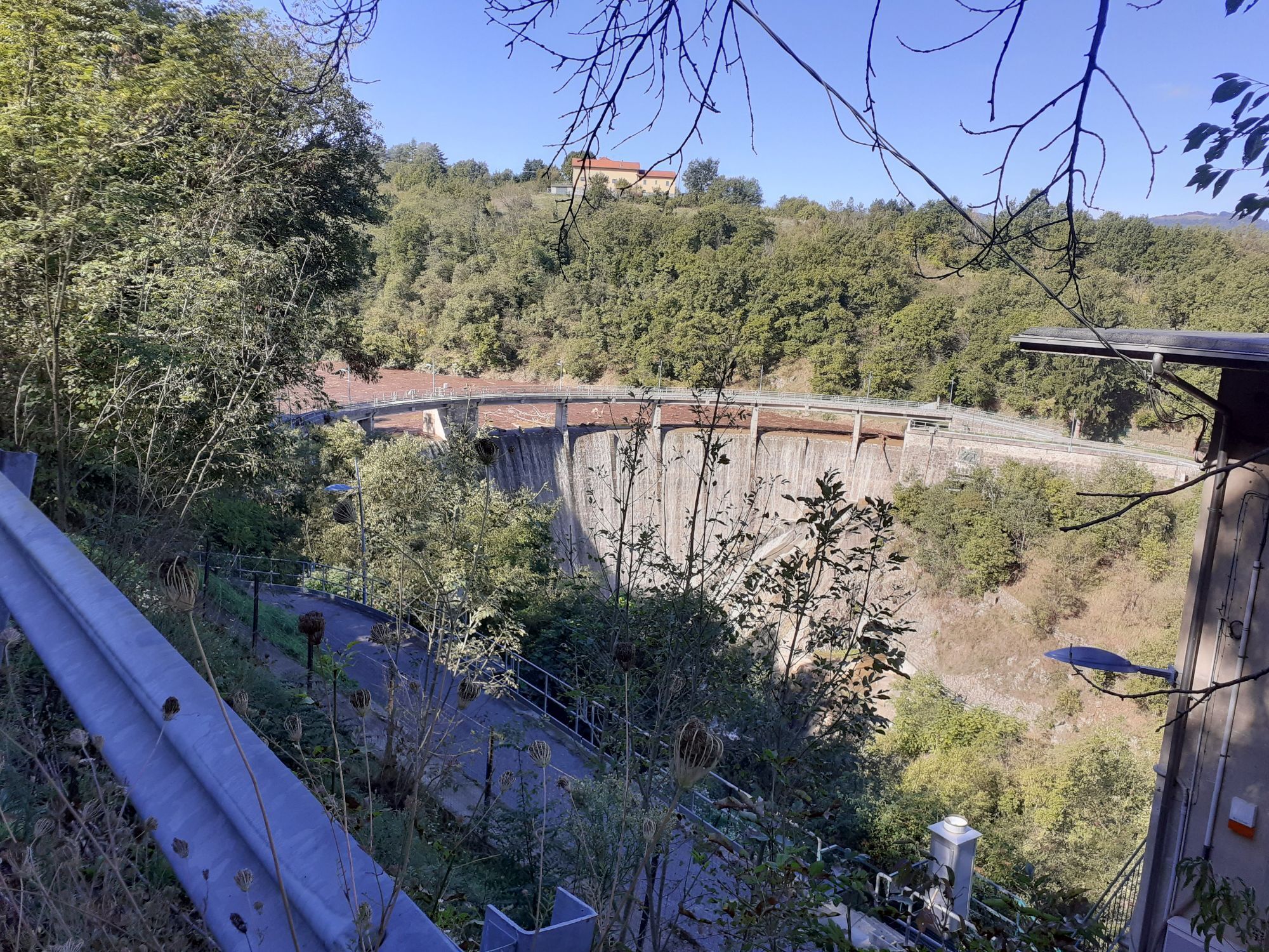
It is certainly a challenging route, but by doing it stage by stage everyone can complete it, bearing in mind the greater altitudes found on the high hills of the Piedmontese/Ligurian Apennines, yet rewarded by the wonderful panoramas that can be enjoyed.
Some choose to do only one stage, others several stages, some organize a cycling holiday, while others take the "Aleramo Challenge" to complete it in just three days.


* Departure from Casale M.to – Piazza Castello - Piazza Vittorio Veneto Railway Station.
Main Intermediate Municipalities (where it is possible to start the partial route):
Trino Vercellese – Piazza Dante - Railway Station
Castelnuovo Don Bosco – via Valdrocco Camper Area parking
Villanova d’Asti – via alla Stazione – Railway Station
San Damiano d’Asti – (hamlet Vaglierano basso) Railway Station (6 km from Asti)
Canelli – Corso Libertà – Railway Station
Ovada – Viale Stazione Centrale – Railway Station
Serravalle Scrivia – viale Stazione – Railway Station
Novi Ligure - Via P. Cichero (Camper area) – Piazza Falcone e Borsellino (Railway Station)
Alessandria – hamlet Valle San Bartolomeo (6 km from Alessandria Railway Station)
Valenza – Viale della Repubblica – Railway Station
Piazza Castello - Piazza Vittorio Veneto Railway Station.
Piazza Castello - Piazza Vittorio Veneto Railway Station.
4
Popularne wycieczki w okolicy
-
Sentiero le Vecchie Fonti - Sentiero 860 in camminata
Trasa pielgrzymki 14,4 km -
Sentiero le Vecchie Fonti - Sentiero 860 in mountain bike
Mountainbike 14,4 km -
GranTanaRando the cycle path of the River Tanaro
ciężkiMountainbike 46,1 km -
Little Randotanaro
średniDroga rowerowa 129,2 km -
Sentiero dal Tanaro alle Colline - Sentiero 870 in mountain bike
Mountainbike 9,79 km -
IL GRANDE CAMMINO DEL MONFERRATO - TAPPA 17: MONTEMAGNO - LU MONFERRATO
ciężkiTrasa pielgrzymki 20,1 km -
Sentiero dal Tanaro alle Colline - Sentiero 870 in camminata
Trasa pielgrzymki 9,79 km -
Borghi del vino: Fontanile - Quaranti
średniWędrówka 11,0 km -
IL GRANDE CAMMINO DEL MONFERRATO - TAPPA 15: NIZZA MONFERRATO - ROCCHETTA TANARO
średniTrasa pielgrzymki 17,5 km -
IL GRANDE CAMMINO DEL MONFERRATO - TAPPA 16: ROCCHETTA TANARO - MONTEMAGNO
ciężkiTrasa pielgrzymki 20,4 km
Wędrówki i tropienie


Nie przegap ofert i inspiracji na następne wakacje
Twój adres e-mail została dodana do listy mailingowej.