






Cammino di San Giacomo in Stura Valley | Stage 3 Vinadio - Pontebernardo
Poziom trudności: T1
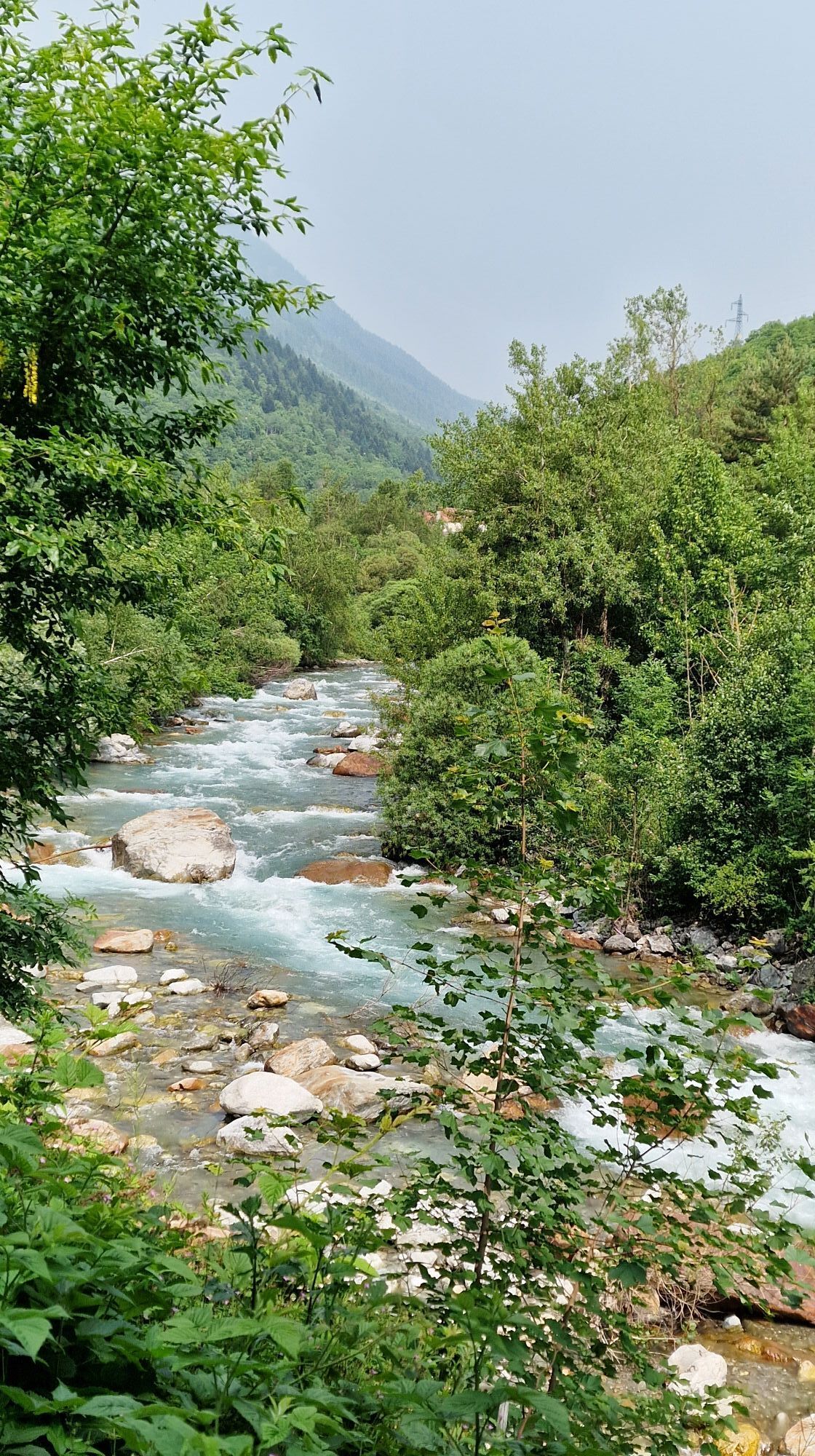

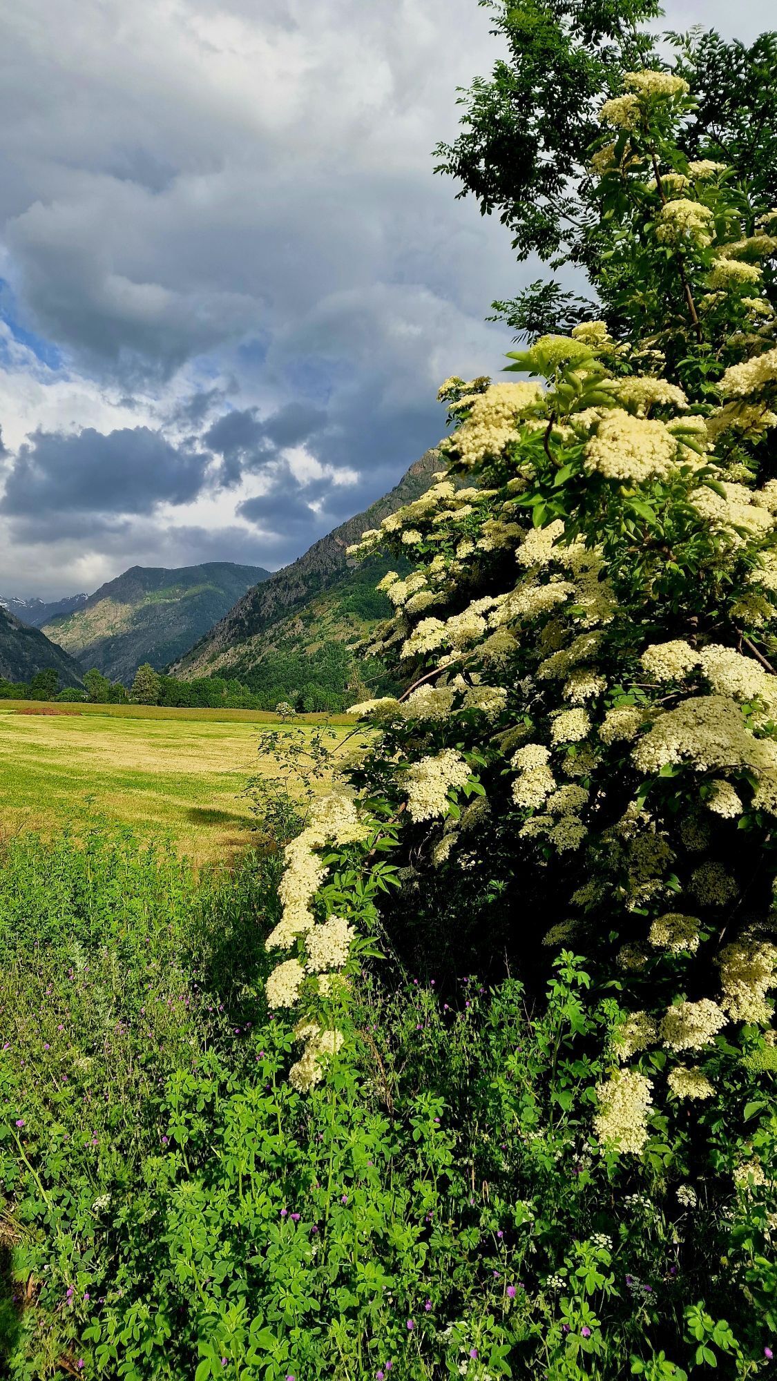
Approximately 19 km to be covered in just over 5 hours, although the many historical and local cultural points of interest are worth a longer stop to explore the hamlets and discover the artistic and architectural...
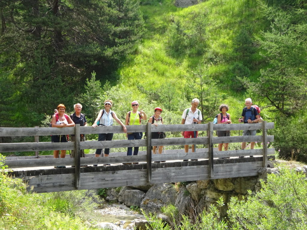
Approximately 19 km to be covered in just over 5 hours, although the many historical and local cultural points of interest are worth a longer stop to explore the hamlets and discover the artistic and architectural heritage.


T1
The village lies at the foot of the spectacular golden-yellow wall from which the spires of Mount Bersaio to the north and Mount Nebius to the northeast rise, in an area inhabited since pre-Roman times. Surrounded by numerous hamlets that climb the suggestive scenery of the upper valley, the municipality preserves important testimonies of this centuries-old history. Among these stands the Chapel of San Giuliano with its tuff single-lancet windows, a medieval building rebuilt in the 18th century. In the town itself, the Civic Tower of San Bartolomeo stands tall, built in a position controlling the valley as a lookout tower. It is a powerful five-story structure topped by a high pyramidal spire, at the base of which the Savoy knot and an inscription dating back to 1451 are carved on a large rock. Not far away is the Parish Church of Santa Maria, built in the 15th century. In the former elementary schools, there is the Valle Documentation Center, which promotes various initiatives to enhance the valley's historical and cultural heritage.
Pietraporzio
Located at the foot of the mixed fir forests that populate the upper valley, Pietraporzio stands by an artificial dam on the Stura river, protected by a large rock whose shape, resembling a boar’s back (pietra porci), gives rise to its curious name. Documented since at least medieval times, the municipality includes the main town and some interesting hamlets. Particularly notable is the part of the town on the right bank of the Stura, where you can find remnants of medieval arches and tuff cornerstones. Near the cemetery stands the "Catre Loupes" Bell Tower (15th century), the only remaining part of the ancient parish church, so called because of the animal figures at the corners of the spire. The current Parish Church of Santo Stefano dates back to the late 18th century and has a bell tower with a wooden shingle roof like the nearby Confraternity of Our Lady of Mount Carmel. Just a few kilometers from the town center, the Pastoralism Ecomuseum in the Pontebernardo hamlet is worth a visit, with its museum route and workshops dedicated to working with products from the Sambucana sheep.
Uzyskaj wgląd
Zawsze na żywo z ponad 9 500 kamer internetowych. bergfex Jako użytkownik Pro, możesz teraz zobaczyć odpowiednie kamery internetowe dla wielu wycieczek w aplikacji wycieczki od. Pozwala to na bezpośredni podgląd aktualnych warunków.
Popularne wycieczki w okolicy
-
5,0
Rocca le Meja - Valle Maira
ciężkiWycieczka wysokogórska 19,8 km -
Gardetta Bike Emotions
średniMountainbike 13,5 km -
San Giacomo-Colle Valcavera
średniDroga rowerowa 13,2 km -
5,0
Goldtoni - Alpenbogen A107 Refugio Malinvern-Strepeis
średnidługodystansowy szlak pieszy 25,9 km -
1,0
Durch das Valle di rio freddo
średniWędrówka 15,7 km -
FFC cycling circuit no. 33: the Tinée cycle path
światłoDroga rowerowa 29,4 km -
5,0
Goldtoni - Alpenbogen A109 Sambuco-Ruata Valle (Stroppo)
średnidługodystansowy szlak pieszy 36,8 km -
5,0
Goldtoni - Alpenbogen A108 Strepeis-Sambuco
średnidługodystansowy szlak pieszy 16,1 km -
Lombardy snowshoe hike
średniRakieta do chodzenia po śniegu 4,09 km -
Occitan Routes: Stage 10 Borgata Chialvetta - Rifugio della Gardetta
średniWędrówka 8,45 km
Wędrówki i tropienie


Nie przegap ofert i inspiracji na następne wakacje
Twój adres e-mail została dodana do listy mailingowej.





