Nawigacja
Pobierz tę trasę na swój telefon komórkowy
Mapa
Way of St. James in the Stura di Demonte Valley
średni
Trasa pielgrzymki
99,33 km
Zeskanuj kod QR i rozpocznij nawigację w aplikacji bergfex.
QR Code
Wędrówki i tropienie

Way of St. James in the Stura di Demonte Valley

średni
Trasa pielgrzymki
Odległość
99,33 km
Czas trwania
29:43 h
Ascent
2 769 hm
Poziom morza
503 - 2 105 m

Poziom trudności: T1
Ścieżka do pobrania
Mapa
Way of St. James in the Stura di Demonte Valley
średni
Trasa pielgrzymki
99,33 km

The Stura Valley in the Cuneo area represents a natural corridor between two great areas of civilization: the Po Plain and Provence, the heart of economic exchanges and the path for pilgrims from beyond...

Opis
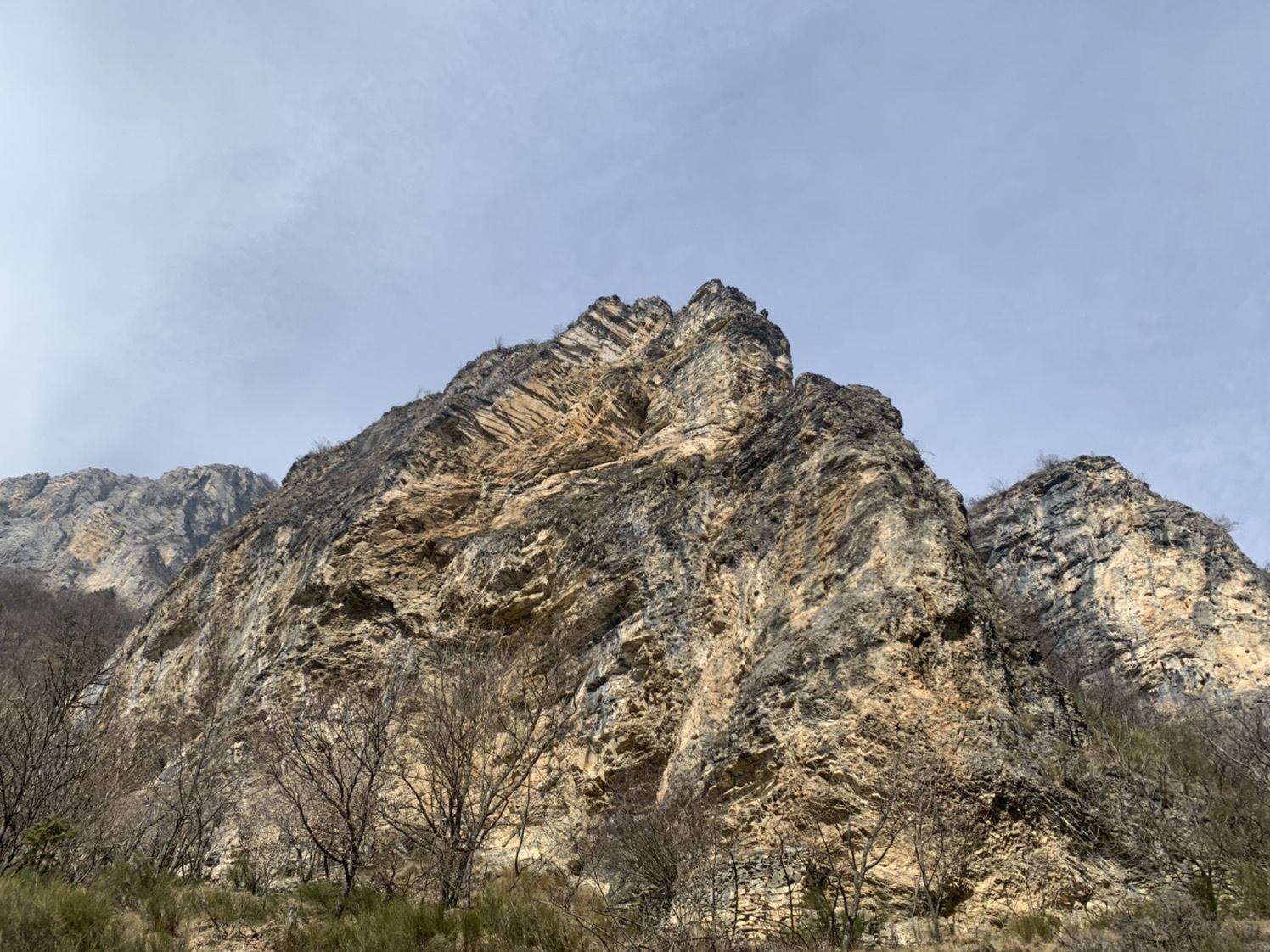
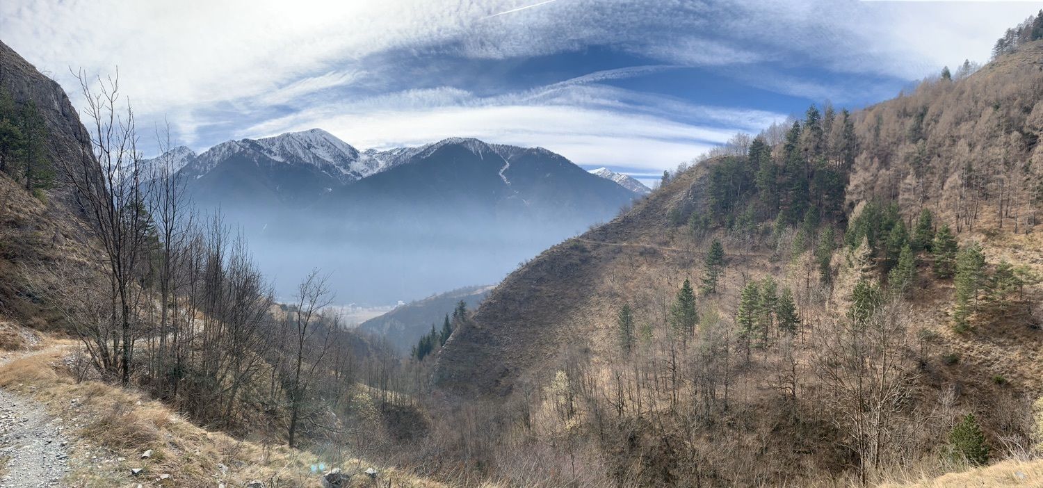
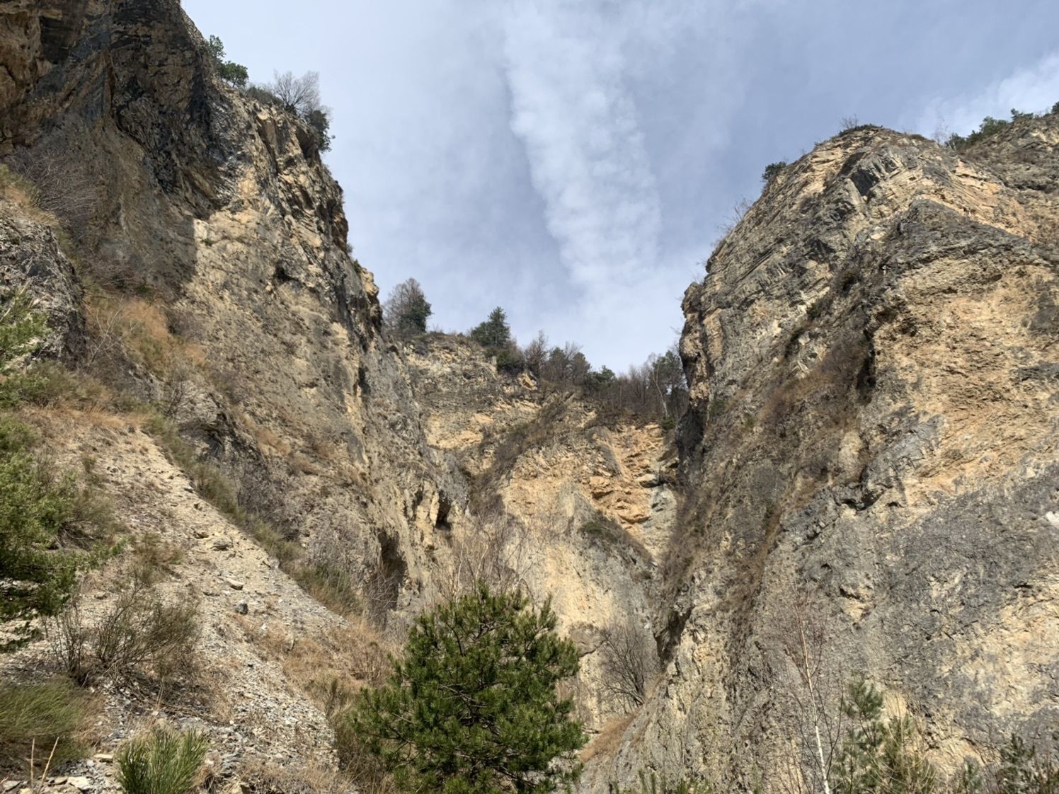
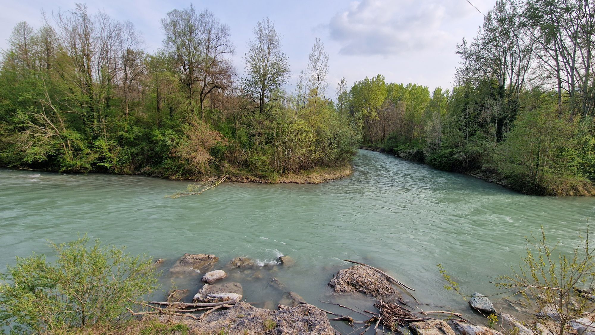
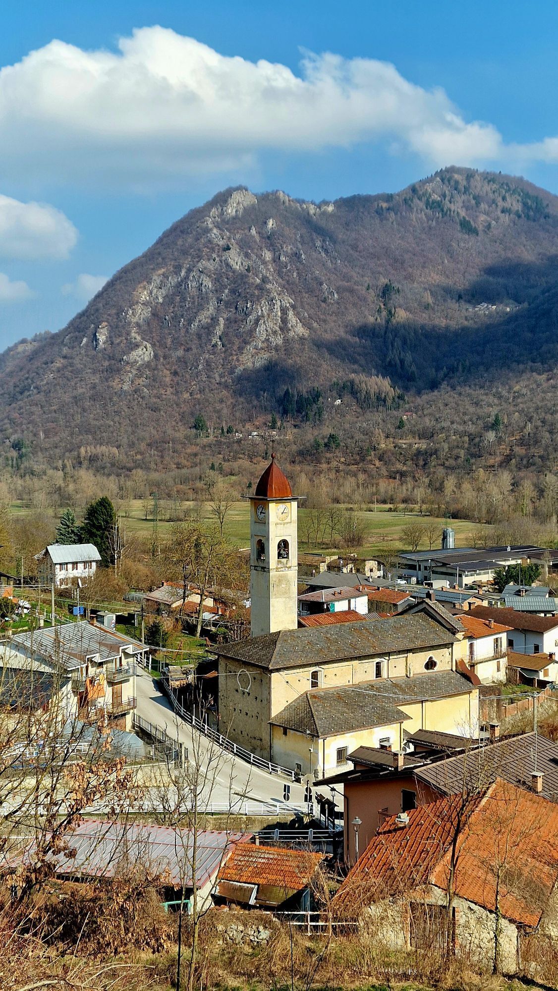
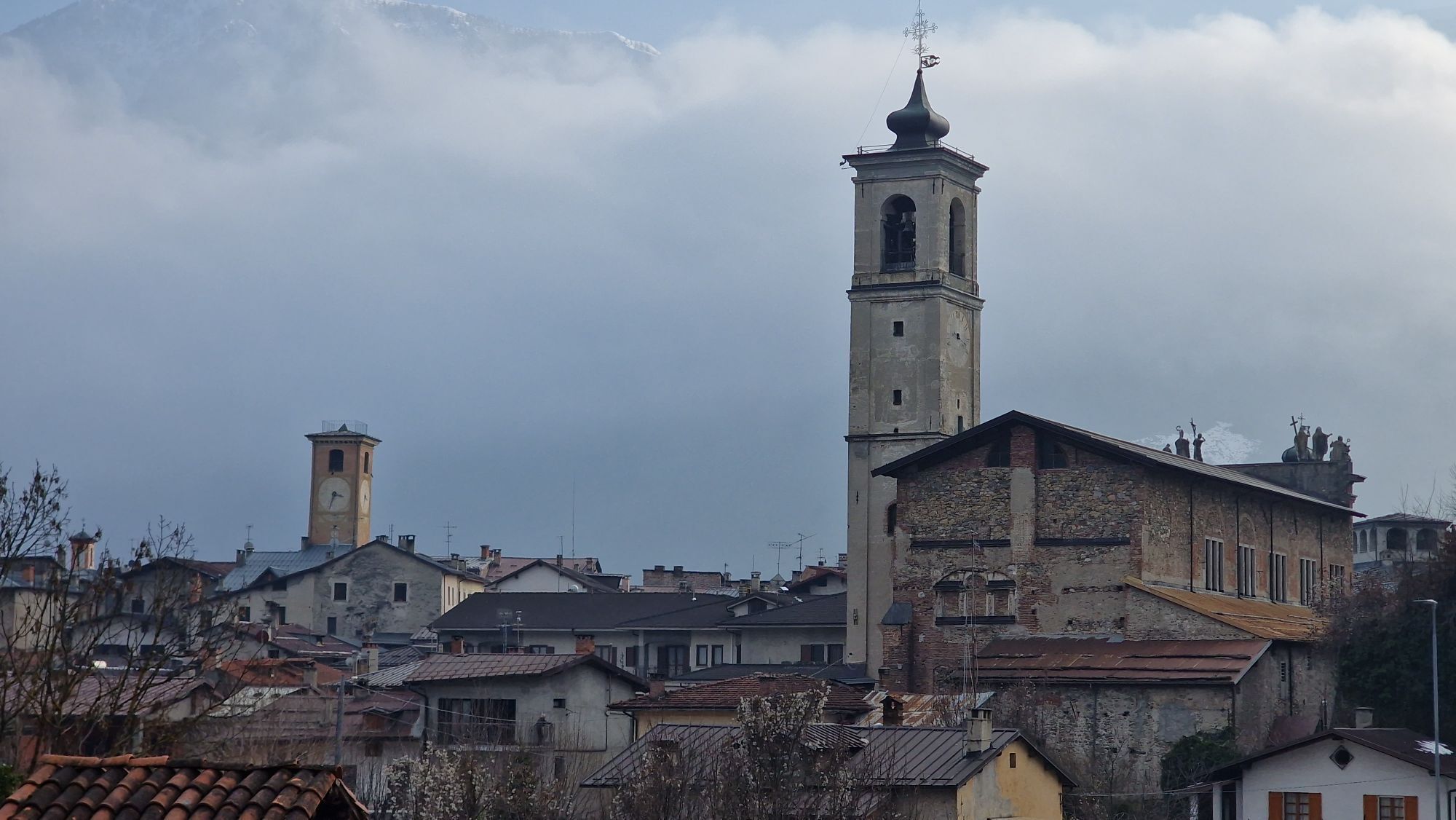
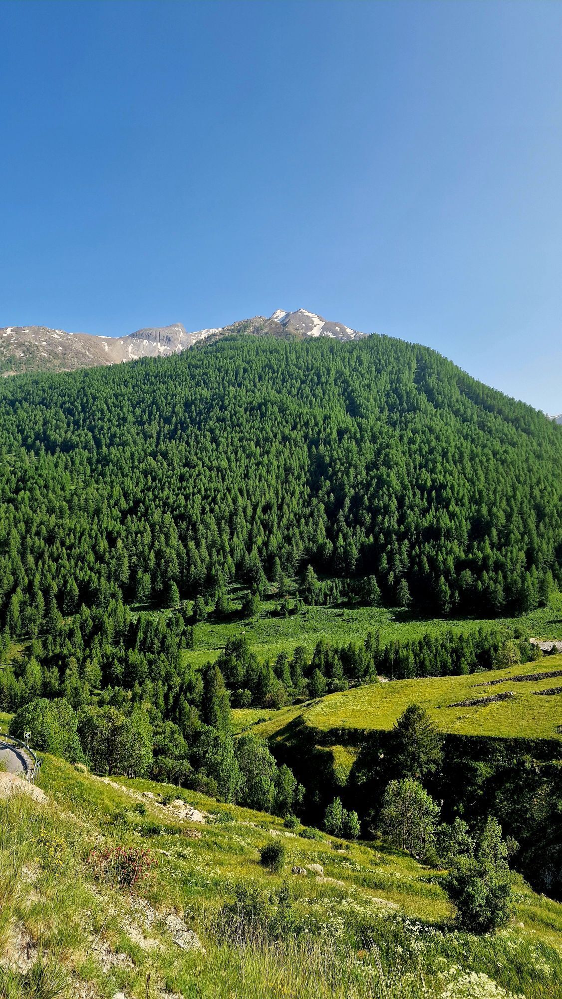
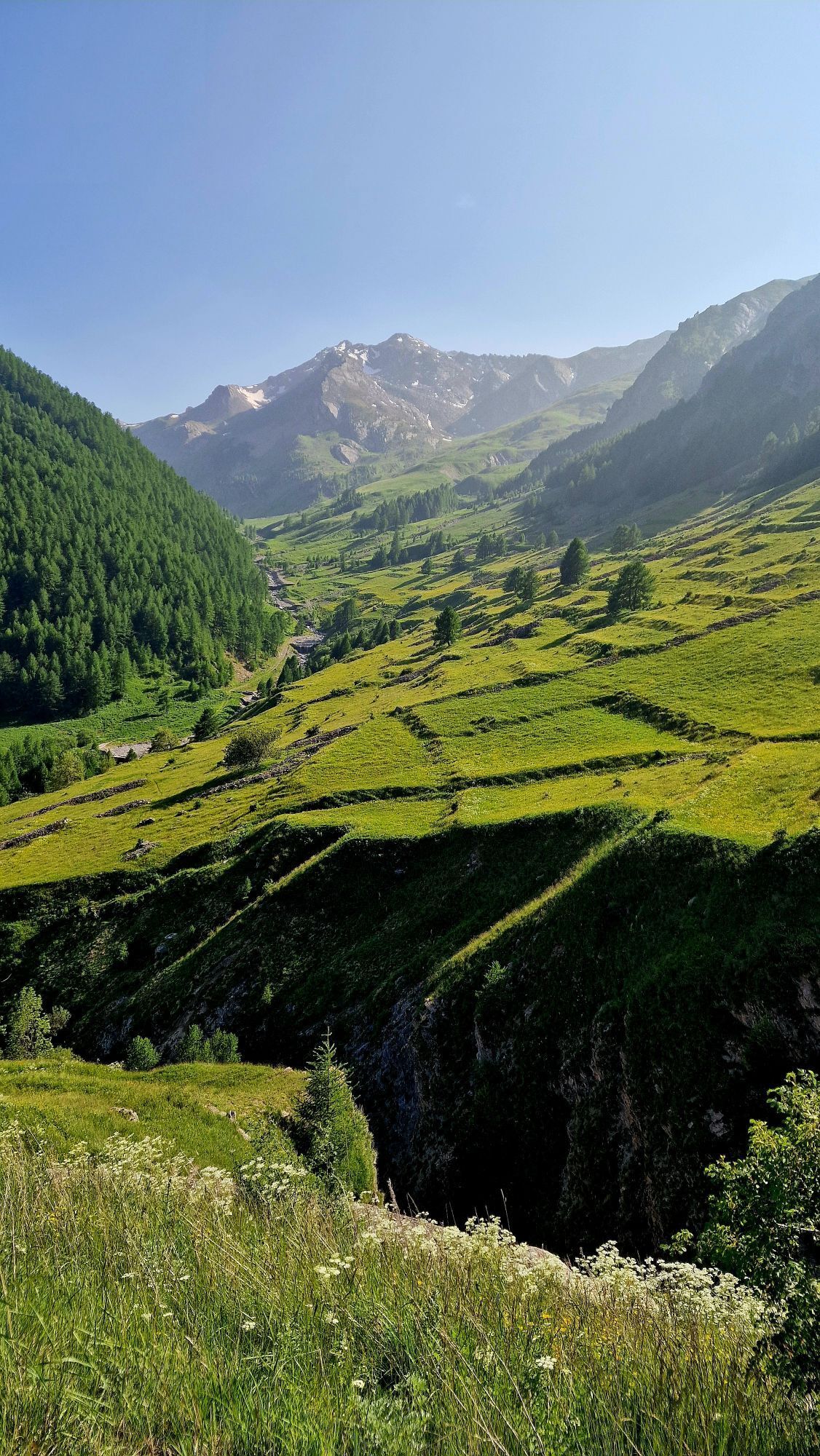
The Stura Valley in the Cuneo area represents a natural corridor between two great areas of civilization: the Po Plain and Provence, the heart of economic exchanges and the path for pilgrims from beyond the Alps, who, from the year 1000 onward, used it to enter the Via Francigena that led them to Rome. It is precisely along the scenic Stura Valley, which is also suggestive from a historical and architectural point of view, that the Confraternity of St. James of Cuneo has for some years been tracing a footpath that partially retraces, where possible, the ancient routes. From the Colle della Maddalena (for the French, Col de Larche) one descends into the valley of the Ubaye and then of the Durance, to reach Barcellonette, Sisteron, Forcalquier, Apt the towns of Aix en Provence and Arles and from there by the Via Tolosana to the Spanish border and then to Santiago de Compostela.

In French territory the route is well signposted piochè officially recognized in the French randonnèes, constituting a "link" that joins it to the GR653D, which from Montgenèvre descends through Provence to Arles.

Trasa
Cuneo
(534 m)
Miasto
0,0 km
Parrocchiale di San Giovanni Battista
(699 m)
Miejsce kultu
21,7 km
San Giuseppe
(851 m)
Miejsce kultu
30,9 km
San Giuseppe
(824 m)
Miejsce kultu
39,6 km
San Giuliano e San Sebastiano
(1 163 m)
Miejsce kultu
60,0 km
Posto Tappa GTA
(1 303 m)
Schronienie
68,4 km
Rifugio della pace
(1 998 m)
Schronienie
90,4 km
Trasa
Mapa
Way of St. James in the Stura di Demonte Valley
średni
Trasa pielgrzymki
99,33 km
Cuneo
(534 m)
Miasto
0,0 km
Cappella Sant'Anna
(506 m)
Miejsce kultu
0,8 km
Basse Sant'Anna - Borgo Nuovo
(506 m)
Rozliczenie
0,8 km
Santa Croce (Cervasca)
(584 m)
Wioska
5,2 km
Santa Croce (Vignolo)
(585 m)
Wioska
5,9 km
Parrocchiale Sant'Antonio Abate
(674 m)
Miejsce kultu
14,1 km
Confraternita di San Sebastiano
(675 m)
Miejsce kultu
14,1 km
Roccasparvera
(679 m)
Wioska
14,2 km
Madonna delle Grazie
(694 m)
Miejsce kultu
14,6 km
Chiesa di San Maurizio
(707 m)
Miejsce kultu
16,2 km
Castelletto
(707 m)
Wioska
16,3 km
Cappella di San Rocco
(707 m)
Miejsce kultu
16,4 km
Regione Lose
(695 m)
Rozliczenie
18,1 km
El Cantun
(692 m)
Restauracja
18,5 km
Gaiola
(698 m)
Wioska
18,7 km
Maria Vergine Assunta
(715 m)
Miejsce kultu
19,1 km
Moiola
(695 m)
Wioska
21,5 km
Parrocchiale di San Giovanni Battista
(699 m)
Miejsce kultu
21,7 km
Frazione Pianetto
(684 m)
Rozliczenie
24,3 km
San Lorenzo
(776 m)
Rozliczenie
25,5 km
Torre
(761 m)
Rozliczenie
26,2 km
Tetti Vescovo
(733 m)
Rozliczenie
26,5 km
Medich
(755 m)
Rozliczenie
26,7 km
Sant'Anna di Rialpo
(757 m)
Wioska
26,9 km
Cornaletto Sottano
(824 m)
Rozliczenie
29,3 km
Cornaletto Soprano
(857 m)
Rozliczenie
30,8 km
San Giuseppe
(851 m)
Miejsce kultu
30,9 km
Ristorante Moderno
(770 m)
Restauracja
32,5 km
Demonte
(775 m)
Wioska
32,6 km
Chiesa di San Donato
(779 m)
Miejsce kultu
32,6 km
Chiesa della Confraternita di Santa Croce
(778 m)
Miejsce kultu
32,7 km
San Marco e San Grato
(857 m)
Miejsce kultu
38,3 km
San Giuseppe
(824 m)
Miejsce kultu
39,6 km
Frazione San Giuseppe
(817 m)
Rozliczenie
39,7 km
Aisone
(846 m)
Wioska
40,6 km
Regione Ruinas
(842 m)
Korytarz/teren
41,1 km
Località Pirone
(1 037 m)
Rozliczenie
42,5 km
Castellar delle Vigne
(1 032 m)
Rozliczenie
44,2 km
Sagna
(961 m)
Rozliczenie
45,2 km
Vinadio
(904 m)
Wioska
46,2 km
Roviera
(905 m)
Wioska
49,6 km
Pratolungo
(918 m)
Wioska
50,4 km
Pianche
(959 m)
Wioska
54,5 km
Chiesa di San Michele
(1 143 m)
Miejsce kultu
59,7 km
Sambuco
(1 162 m)
Wioska
59,8 km
San Giuliano e San Sebastiano
(1 163 m)
Miejsce kultu
60,0 km
La Meridiana
(1 187 m)
Restauracja
60,2 km
Posto tappa GTA
(1 189 m)
Refuge (niezarządzany)
60,3 km
Osteria della Pace
(1 186 m)
Restauracja
60,3 km
Cappella di San Giuliano
(1 137 m)
Miejsce kultu
60,7 km
Madonna del Carmelo
(1 232 m)
Miejsce kultu
66,6 km
Pietraporzio
(1 228 m)
Wioska
66,7 km
L'Oste d'Oc
(1 225 m)
Restauracja
66,7 km
Pontebernardo
(1 305 m)
Wioska
68,4 km
Posto Tappa GTA
(1 303 m)
Schronienie
68,4 km
Prinardo
(1 462 m)
Rozliczenie
74,4 km
Villaggio Primavera
(1 484 m)
Rozliczenie
75,0 km
Bersezio
(1 630 m)
Rozliczenie
77,7 km
Locanda dell'Oserot
(1 628 m)
Restauracja
77,9 km
Argentera
(1 685 m)
Rozliczenie
80,9 km
Fontana di Napoleone
(1 950 m)
Źródło
85,1 km
Ristorante Bar Del Lago
(1 978 m)
Restauracja
89,7 km
Rifugio della pace
(1 998 m)
Schronienie
90,4 km
Le Pont Rouge
(1 907 m)
Korytarz/teren
94,1 km
Relais d'Italie
(1 676 m)
Restauracja
99,3 km
Larche
(1 678 m)
Rozliczenie
99,3 km
Informacje o wycieczce

From Cuneo to Colle della Maddalena in 4 stages, on the way to the Camino de Santiago de Compostela through France.

Technologia
1 / 6
Stan
3 / 6
Krajobraz
4 / 6
Doświadczenie
3 / 6
Najlepsza pora roku
Sty
Lut
Mar
Kwi
Maj
Cze
Lip
Sie
Wrz
Paź
Lis
Gru
Udostępnij trasę
Mapa
Way of St. James in the Stura di Demonte Valley
średni
Trasa pielgrzymki
99,33 km
Błąd
Wystąpił błąd. Spróbuj ponownie.
Informacje o trasie
Trasa
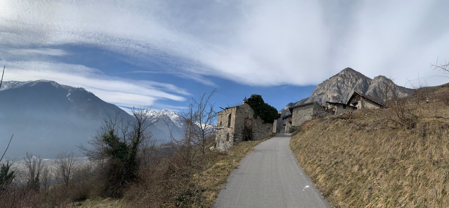
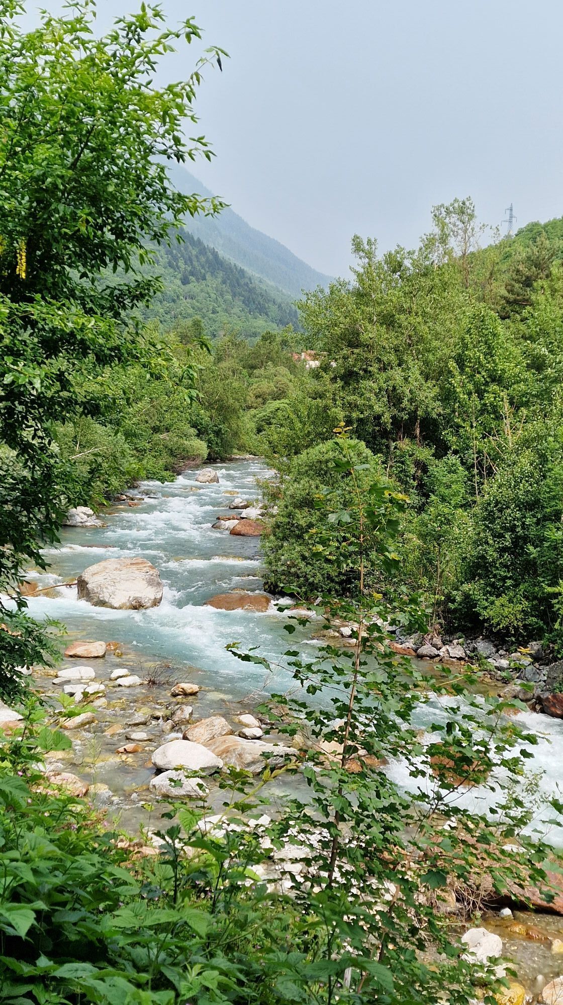
The Way of St. James in the Stura Valley is marked by numerous yellow arrows at key points and goes up the river now on the right orographic slope now on the left, providing daily stops at a populated place for resting and provisions. The route can be done by everyone; a minimum of predisposition to walking is sufficient, and there are no particular criticalities except the need to pay close attention in sections along the highway; the recommended period is from spring to autumn. Finally, it should be noted that the Stura Valley is traversed by a convenient international highway that touches the many villages marked, offering various possibilities for lodging and supplies and constituting an easy way to "escape" or shorten the route thanks to the buses that travel it daily.

www.confraternitasangiacomocuneo.it

https://it.wikiloc.com/wikiloc/user.do?id=9427058

Instrukcje bezpieczeństwa
On the Cuneo-Vinadio section and vice versa, there is a cycle route about 40 km long with severe restrictions for motor vehicles that is easier and shorter, about which there is a dedicated guidebook that can be downloaded here:

https://www.facebook.com/groups/718523078564510/files/files

We recommend this option in case of bad weather.

Informacje o przyjeździe
Przybycie

BY CAR

A21 Turin-Piacenza exit Asti East and continuation on A33 Asti-Cuneo with exit at Sant'Albano SturaTel. +39.011.4373800 www.a21torinopiacenza.it

A6 Turin-Savona with continuation on A33 Asti-Cuneo and exit at Sant'Albano SturaTel. +39.011.6650311 www.tosv.it

A33 Asti-Cuneo (nearing completion) exit Cuneowww.asticuneo.it Italian Highways www.autostrade.it

For those arriving from France, there are the following possibilities:

- the Colle dell'Agnello (m. 2,748-always closed in the winter months), which enters the Varaita Valley and leads to Saluzzo

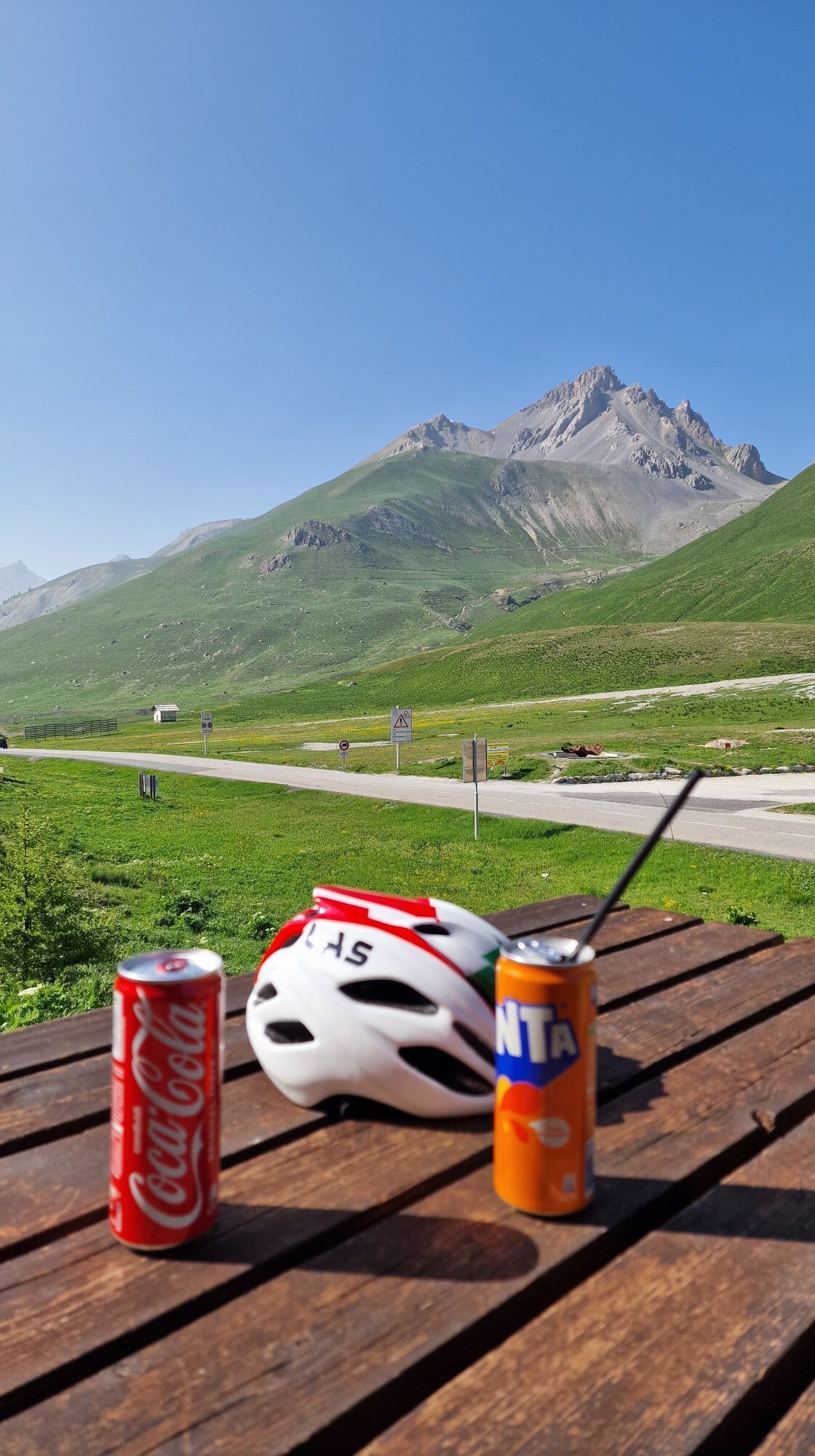
- the Colle della Maddalena (m. 1,996) and the Colle della Lombarda (m. 2,351 - always closed in the winter months), which enter the Stura Valley and lead to Borgo San Dalmazzo and Cuneo

- the Colle di Tenda Tunnel (m. 1,300 approx.) that enters the Vermenagna Valley and leads to Borgo San Dalmazzo and Cuneo is CURRENTLY CLOSED FOR WORK

BY AIR

Cuneo Levaldigi Airport S.p.A.Regional Str. 20, 1 - 12038 Levaldigi (CN)Tel. +39.0172.741500-558 www.aeroporto.cuneo.it

Turin Caselle International Airport Str. San Maurizio 12 - 10072 Caselle Torinese (TO) Tel. +39.011.5676361 www.aeroportoditorino.it

Milan Airports (Malpensa and Linate)Tel. SEA Call center +39.02.232323 www.sea-aeroportimilano.it

Genoa Airport "C. Colombo "16154 GenoaTel. +39.010.60151 www.airport.genova.it

Aéroport Nice Côte d'Azur06281 Nice Cédex 3 - (F)Tel. +33.4.89889828www.nice.aeroport.fr

Transport publiczny

Cuneo is conveniently reached by train

www.trenitalia.it

Dodatkowe informacje i wskazówki
Poziom trudności

T1

Dodatkowe informacje
THE CREDENTIAL.

The Confraternity of St. James of Cuneo has created its own Credential that has obtained the imprimatur of the Pilgrim of Santiago Office, which is issued to those who request it and agree to accept its meaning and spirit and who intend to travel the pilgrimage routes on foot, or by bicycle.

The issuance of the credential is free of charge, but in order to make this service possible and continuous, any offering is welcome, which can be paid to the Priors in charge or by transfer to the c/ of the Brotherhood at the following IBAN: IT88R0306909606100000403307 Here form to request it

Wskazówki
The Stura di Demonte Valley Path to Santiago de Compostela-a historic route that seeks to retrace old paths and roads followed by pilgrims and wayfarers-joins other paths on the Italian side to provide continuity toward Rome. Passing through Cuneo and Neive, it crosses Le Chemin d'Assise coming from Vezelay as far as Aulla where one can decide whether to continue on the same to Assisi and then Rome, or to deviate onto the Via Francigena still heading towards Rome.

From Neive you can also continue to Acqui Terme on the Chemin d'Assise and then leave it and continue to Tortona from where you can use the Via Postumia to Piacenza/Via Francigena: for information and updates: https://chemindassise.org/it/le-tappe/

With the option for Piacenza, on the Via Francigena you lengthen by about 130 km with a route without significant elevation gains, while on the Chemin d'Assise after Acqui Terme you will face more marked elevation gains and challenging stretches by riding largely along the Alta Via dei Monti Liguri.

Nie ma jeszcze recenzji
Napisz recenzję

Recenzje pomagają innym użytkownikom wybrać kolejną przygodę. Oceniaj tylko trasę, a nie pogodę lub przekąskę.

Wybierz jedną z gwiazdek, aby ocenić wycieczkę
Zła trasa
Słaba trasa
Przeciętna wycieczka
Dobra wycieczka
Doskonała wycieczka
bergfex logo Uzyskaj wgląd Zawsze na żywo z ponad 9 500 kamer internetowych. bergfex Jako użytkownik Pro, możesz teraz zobaczyć odpowiednie kamery internetowe dla wielu wycieczek w aplikacji wycieczki od. Pozwala to na bezpośredni podgląd aktualnych warunków.
Wędrówki i tropienie

Wędrówki i tropienie

Wędrówki i tropienie
Ponad 550.000 propozycji wycieczek, szczegółowe mapy i intuicyjny planer tras sprawiają, że aplikacja jest niezbędna dla wszystkich entuzjastów przyrody.
bergfex