






Historic Mountain Routes | St. Anna's Path Stage 3 Demonte - Vinadio
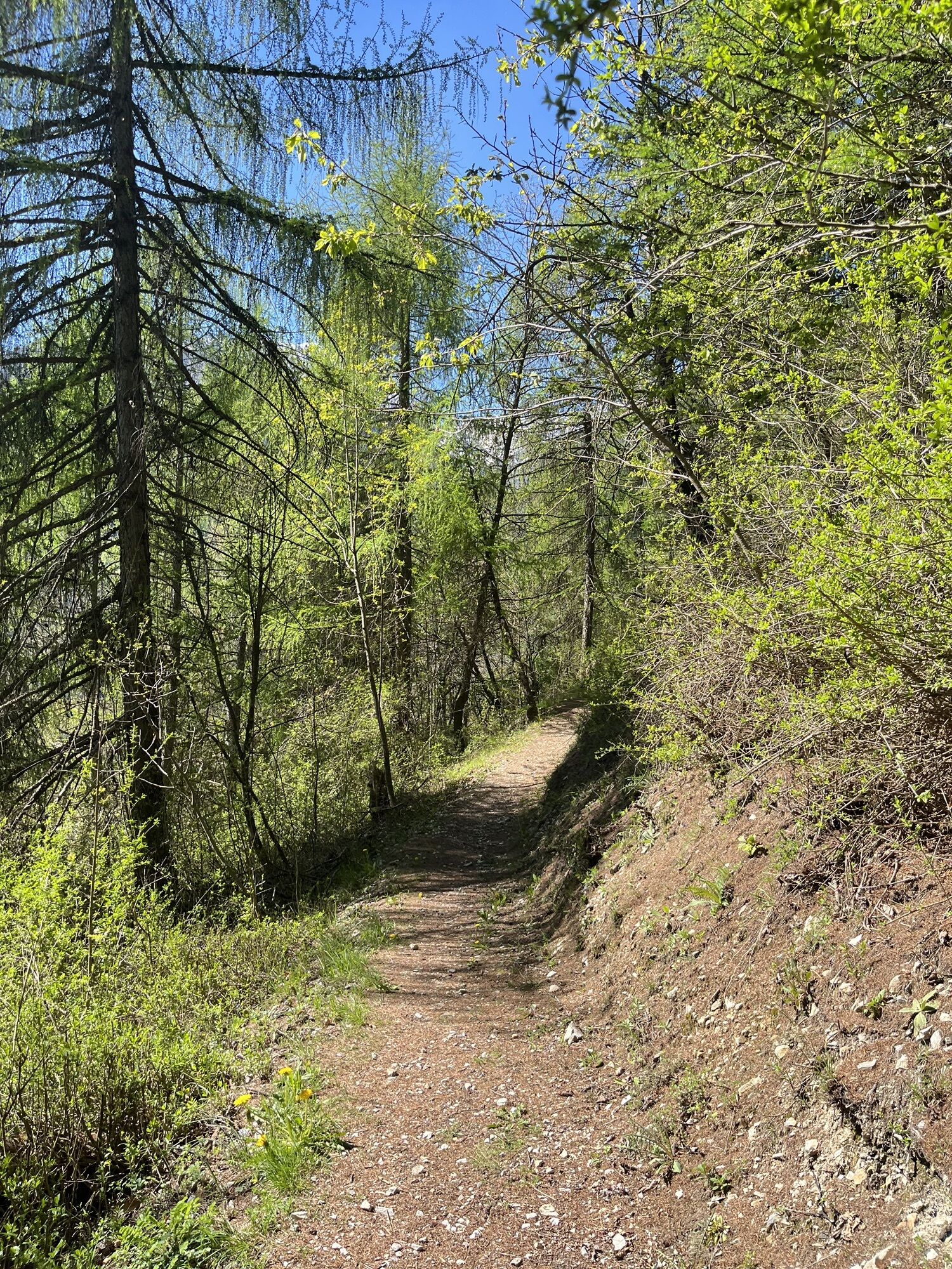
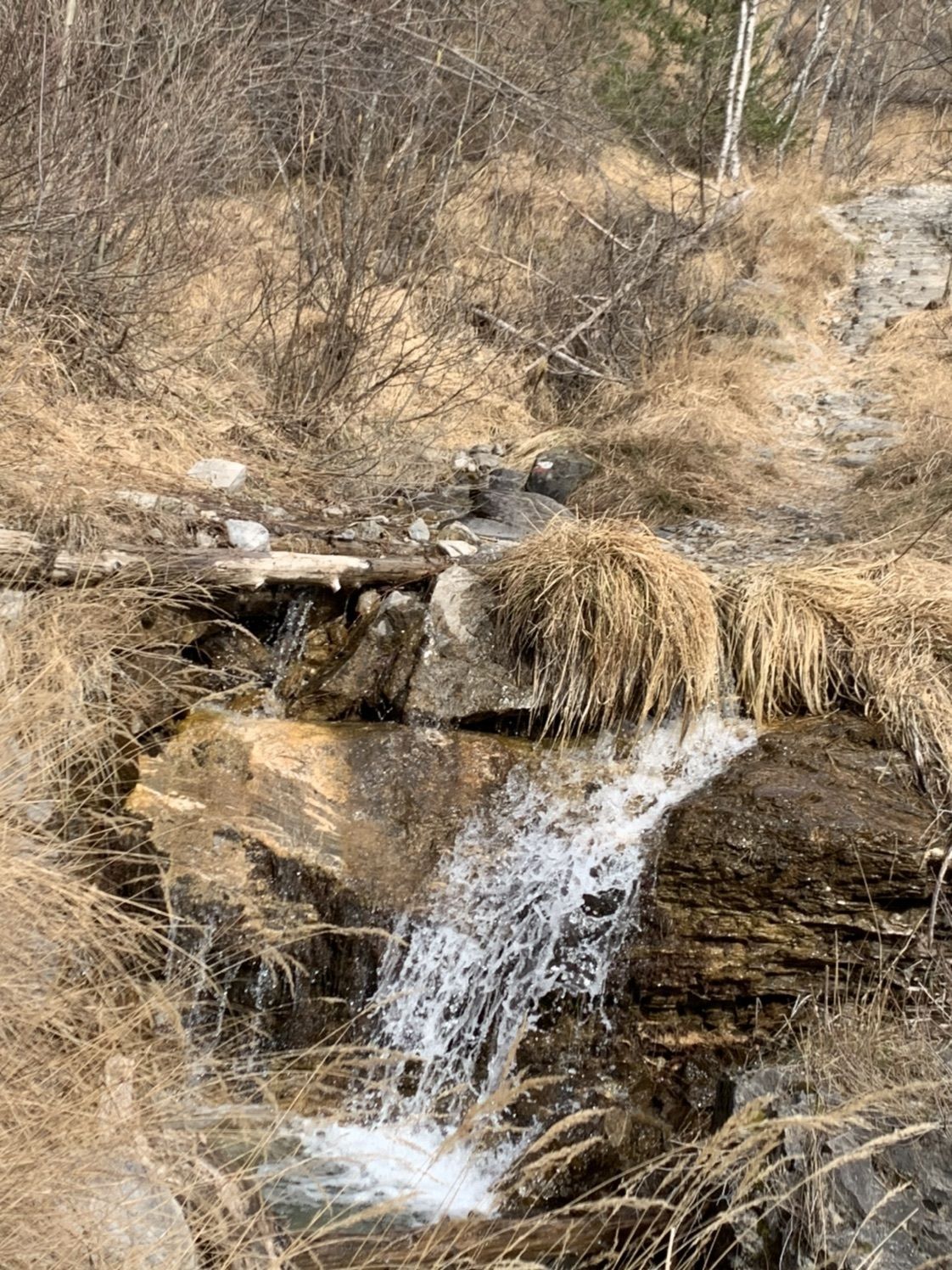
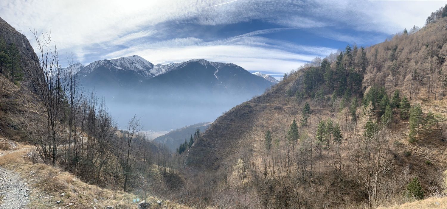
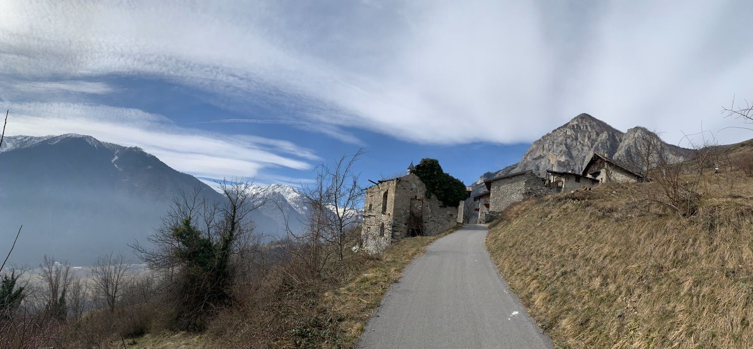
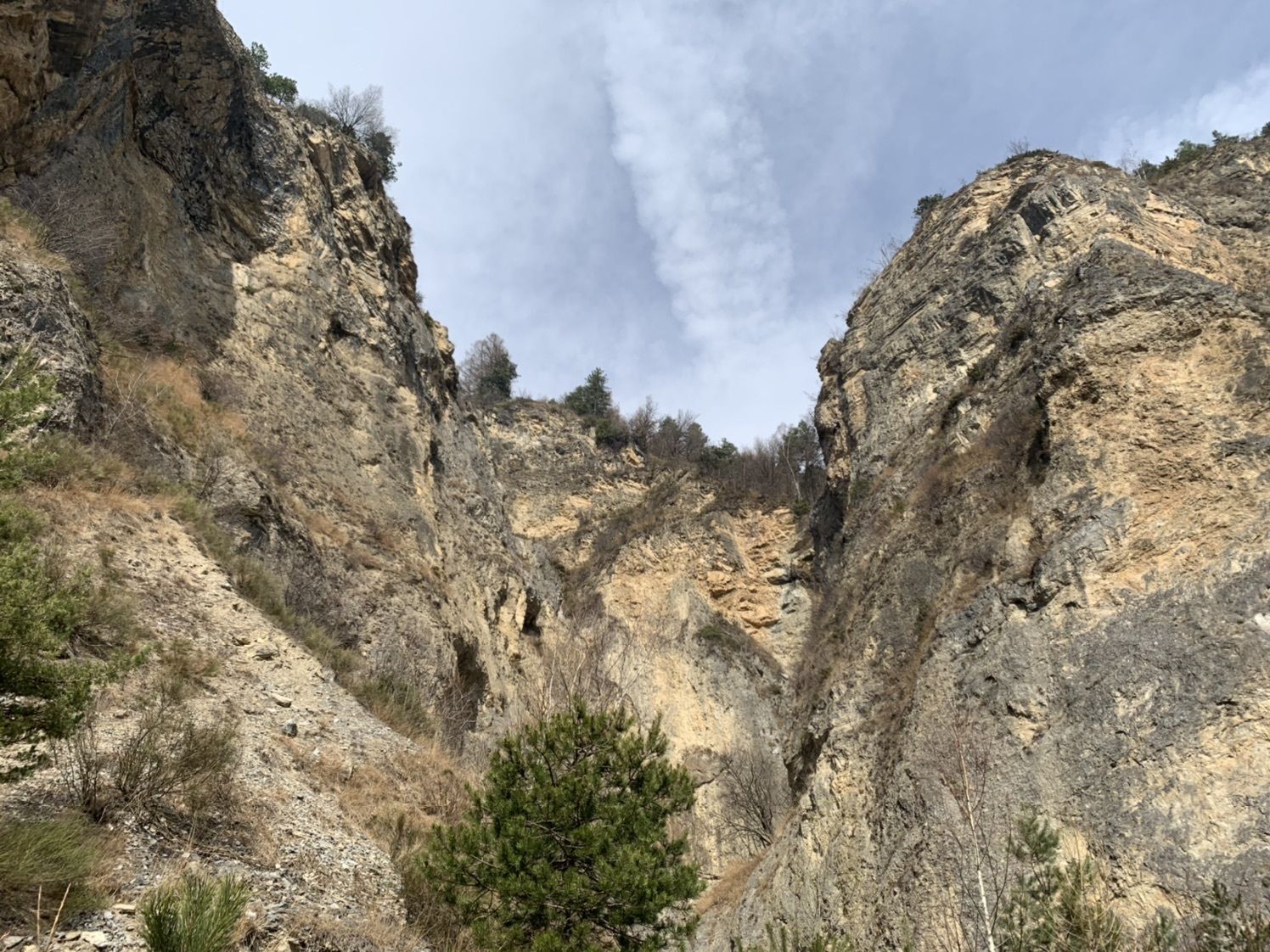
From Demonte, climb up a path towards the Chapel of the Madonna del Pino (reachable with a short detour). Continue on a path halfway up the hill that slowly loses altitude until you reach the hamlet of...
From Demonte, climb up a path towards the Chapel of the Madonna del Pino (reachable with a short detour). Continue on a path halfway up the hill that slowly loses altitude until you reach the hamlet of San Grato, from which you continue on a dirt road until you reach the state road, which you cross via the underpass. Through the large meadows you reach Aisone, entering the historic streets until you reach the main square. Crossing the village, take the first part of the Sentiero delle Grotte, which you should ignore in the second part to climb up to the hamlet of Pirone. Here begins a spectacular traverse on walls that are sometimes vertical but always safe, until you reach the hamlet of Castellar delle Vigne, already in the territory of Vinadio. You gradually descend on asphalt until you reach Vinadio, where the stage ends. Variant 3: At the beginning of the climb towards Pirone, instead of continuing on asphalt, you can continue on the "Sentiero delle Grotte" to see the places of the famous Neolithic finds, now located in the Civic Museum of Cuneo. After the caves, continue along the valley and, once you reach the houses with thatched roofs, go up the steep path behind the houses to rejoin the normal itinerary at the village of Pirone. Variant 4: Just before arriving in Vinadio, after the asphalted descent from Castellar delle Vigne, take the dirt road on the right, following the signs for "Forte Neghino". Follow the road without any possibility of error until you reach the Fort. Once up there, a small detour to the panoramic hill located a few meters away is absolutely recommended to enjoy a unique view of Vinadio, the valley and the great peaks that surround you. Returning to the fort, continue on the flat path that cuts across the slope halfway up the hill. You pass an abandoned village and, once you have crossed a small bridge, continue downhill until you find the asphalt that, still downhill, leads into Vinadio.


Popularne wycieczki w okolicy
-
Great Crossing of the Alps - South Piedmont
ciężkidługodystansowy szlak pieszy 249,2 km -
San Giacomo-Colle Valcavera
średniDroga rowerowa 13,2 km -
5,0
Goldtoni - Alpenbogen A107 Refugio Malinvern-Strepeis
średnidługodystansowy szlak pieszy 25,9 km -
5,0
Goldtoni - Alpenbogen A106 Refugio Morelli Buzzi-Refugio Malinvern
średnidługodystansowy szlak pieszy 25,0 km -
1,0
Durch das Valle di rio freddo
średniWędrówka 15,7 km -
5,0
Goldtoni - Alpenbogen A108 Strepeis-Sambuco
średnidługodystansowy szlak pieszy 16,1 km -
Lombardy snowshoe hike
średniRakieta do chodzenia po śniegu 4,09 km -
In the Grana Valley, in the footsteps of great cycling champions
średniDroga rowerowa 16,4 km -
FFC MTB Route no. 13: The Lausetta ridge
średniMountainbike 21,1 km -
GTA: Stage 58 Santuario di San Magno - Sambuco
średniWędrówka 18,1 km
Wędrówki i tropienie


Nie przegap ofert i inspiracji na następne wakacje
Twój adres e-mail została dodana do listy mailingowej.





