







Along the pilgrims' roads from Asti to Santa Maria di Vezzolano
The route follows the ancient path of trails which in the Middle Ages formed one of the many variants of the Via Francigena and starts from Asti towards the chapel of Santa Maria di Viatosto. In the first...
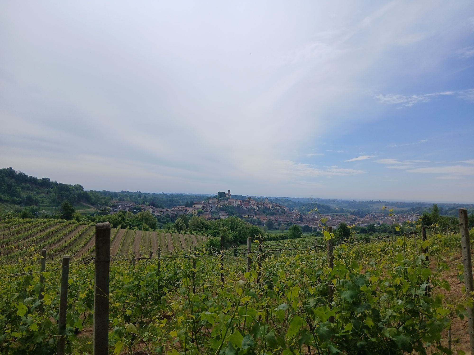
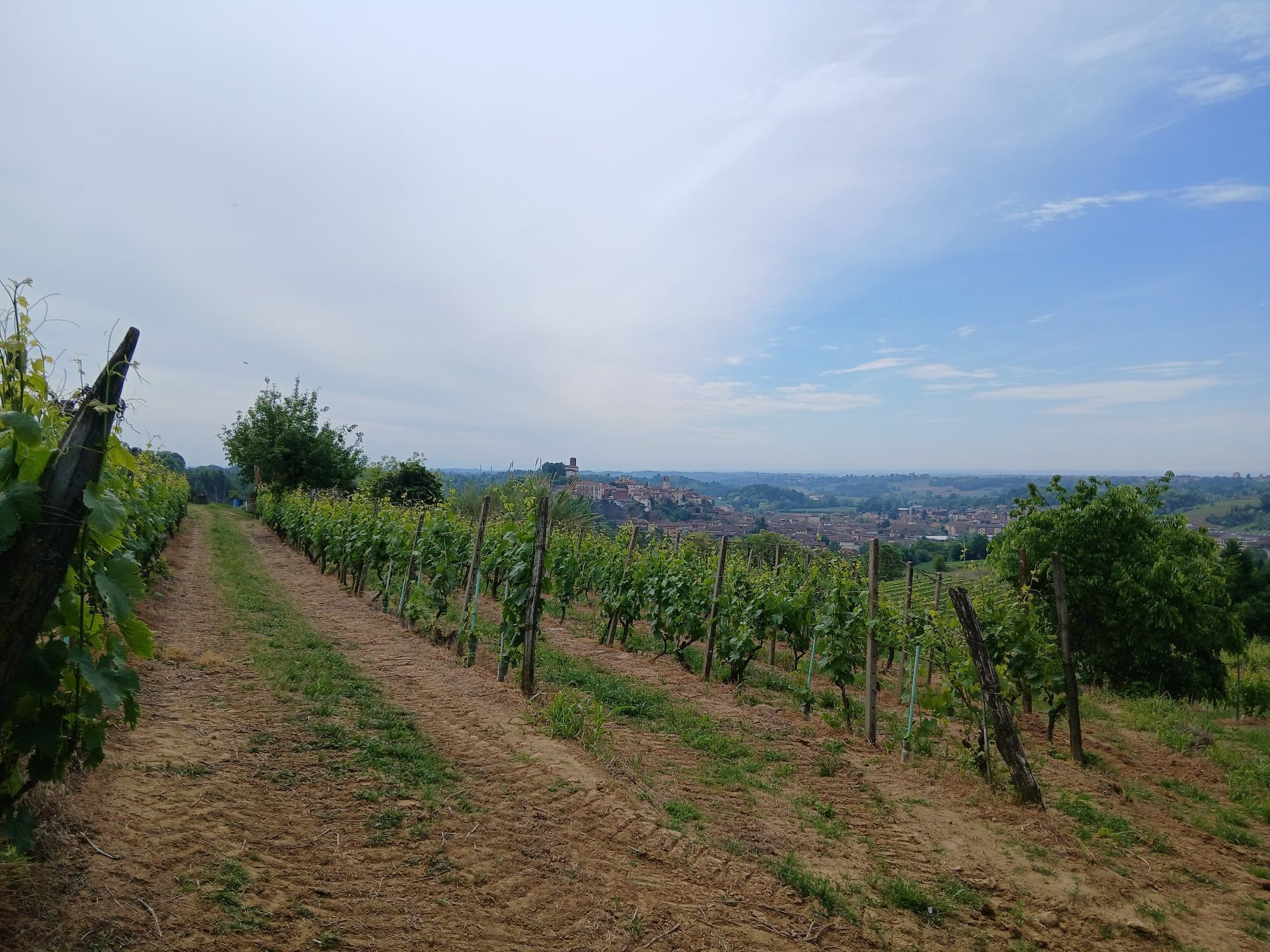
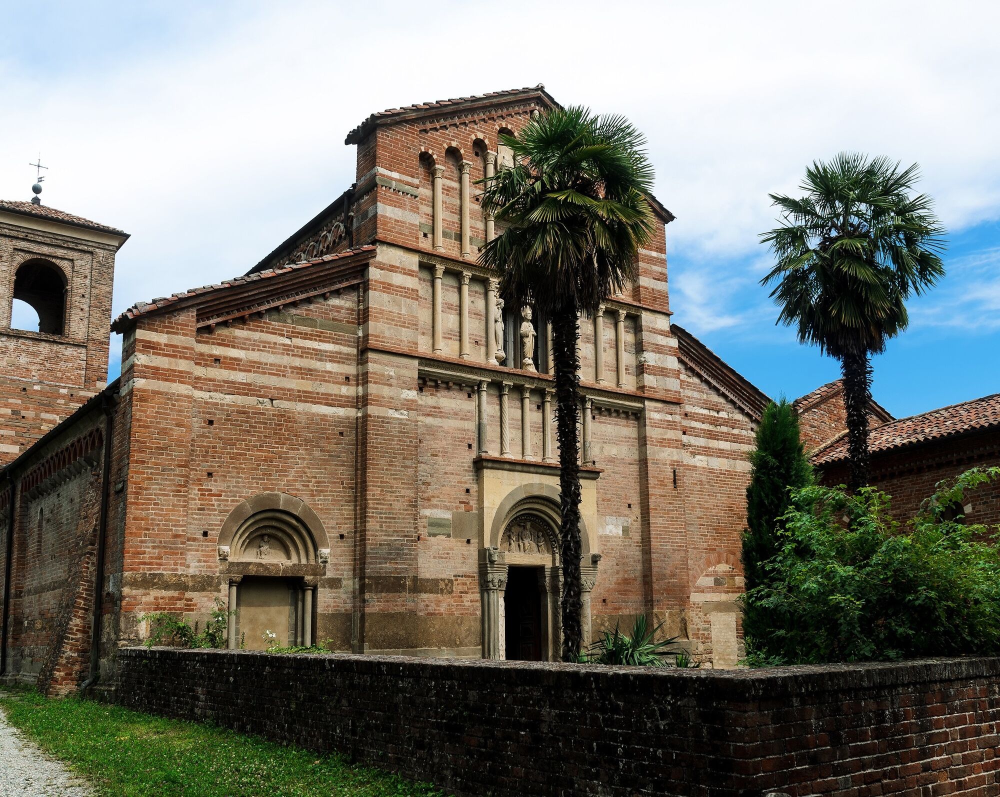
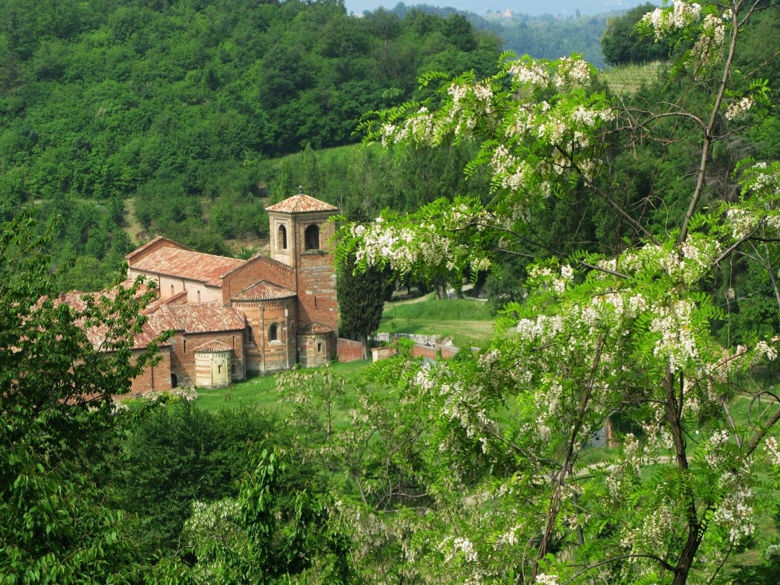
The route follows the ancient path of trails which in the Middle Ages formed one of the many variants of the Via Francigena and starts from Asti towards the chapel of Santa Maria di Viatosto. In the first stretch, you cross places of great natural interest such as the Parco di Valle Andona, Valle Botto and the Gorghi di Monale area. Along the route, you encounter splendid Romanesque churches (San Nicolao in Settime, San Secondo di Cortazzone and San Giorgio di Bagnasco in Montafia), in Capriglio you retrace the childhood places of Don Bosco and Domenico Savio in Morialdo. With a small detour, you can reach the village of Becchi.
From Castelnuovo Don Bosco, you ascend towards Albugnano among Romanesque-origin chapels such as Sant’Eusebio and Santa Maria di Cornareto, with spectacular views of the Basilica of Superga, the Sacra di San Michele and the Alps. Intersecting the Superga-Crea hiking route, you reach the rectory of Santa Maria di Vezzolano, a place of devotion, peace and hospitality along the Via Francigena for pilgrims heading to or coming from the Susa Valley.


Route verified and georeferenced by Marco Demaria.
The information contained does not commit the responsibility of the authors and verifiers of the route due to possible variations in the passability status of the proposed routes, especially on dirt sections.
Suitable equipment is recommended with a windproof jacket and possibly a change of clothes
Pay attention on uneven/eroded ground sections
Suggested bikes: MTB and Ebike equipped for off-road. The route presents some challenges: short flooded sections and some steep parts with eroded soil. In the summer period, insect repellent against mosquitoes and horseflies may be useful.
Historic villages of the crossed municipalities, panoramic views of the hills, Romanesque chapels, the Abbey of Vezzolano, a Romanesque symbol of Piedmont.
Popularne wycieczki w okolicy
CHIERI - Among vineyards, hills and history toward the Abbey of Vezzolano.
średniDroga rowerowa 58,6 kmArch 3 | From Casale Monferrato to Racconigi
ciężkiKolarstwo długodystansowe 143,4 kmCHIERI - Loop towards Riva presso Chieri
Jazda na rowerze 32,5 kmSentieri i colli pietrosi - Sentieri 737 in mountain bike
Mountainbike 6,52 kmSentiero il Monte Lungo - Sentiero 712 in mountain bike
Mountainbike 6,74 kmCycling between Arignano, Moriondo and Mombello
średniKolarstwo długodystansowe 28,1 kmMontiglio Monferrato - Parish church of San Lorenzo
średniWędrówka 10,7 kmSentieri i colli pietrosi - Sentieri 737 in camminata
Trasa pielgrzymki 6,52 kmSentiero il Monte Lungo - Sentiero 712 in camminata
Trasa pielgrzymki 6,74 km🟢GT.P 17 The Way of the Orchids
średniMountainbike 14,8 km
Wędrówki i tropienie


Nie przegap ofert i inspiracji na następne wakacje
Twój adres e-mail została dodana do listy mailingowej.





