







Itinerary Castellania - Oropa | Stage 5 From Alessandria to Casale Monferrato
The stage is almost entirely flat and allows you to see, after the first 10 km and with a small detour, Villa La Scrivana in Valmadonna, an ancient noble residence that overlooks a wonderful 19th-century...
The stage is almost entirely flat and allows you to see, after the first 10 km and with a small detour, Villa La Scrivana in Valmadonna, an ancient noble residence that overlooks a wonderful 19th-century park, now used for ceremonies and events. Other points of interest along the route are: the Paleologa Tower in San Salvatore Monferrato, 24 meters high and built in 1413 as part of the defensive and lookout system of the Marquisate of Monferrato; the Sannazzaro Castle in Giarole, hotel and historic residence inhabited by the owners, heirs of those who founded it about 900 years ago, and the Pomaro Monferrato Castle with origins dating back to the early 13th century, also used today for events.

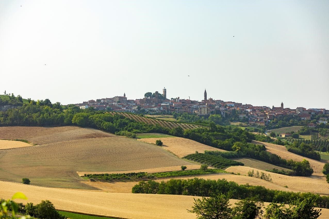

Flat stage with only one roughness: the climb to San Salvatore Monferrato. After 10 km from the start, at the crossroads with the SP 494, we can make a detour to visit Villa La Scrivana in Valmadonna (1.4 km round trip, ATTENTION the provincial road is very busy). The route begins to climb towards San Salvatore Monferrato, where we can go up to the historic tower. From here a pleasant descent on a white road (4.3 km) takes us back to the plain. You will soon arrive in Giarole and the Castle of Sannazzaro. We pass Pomaro Monferrato, where we find the 12th century castle. Once in Rivalba, mountain bikers can follow the Ven.To route, which runs along the Po river up to Frassineto on sheep tracks and country roads. We avoid this bumpy stretch by taking the SP 59 up to Ticineto and the SP 54 up to Frassineto Po, following the trail signs of the Circuito dei Mulini. From here, a few kilometers along Ven.To separate us from Casale Monferrato.Notes: immediately after the Artale barracks, take the cycle/pedestrian path on the opposite side of the road, allowing us to cross the junction for the SP 10 and the bridge over the Tanaro in complete safety.
Tourist information for this stop-off point: span< - >/span<
Uzyskaj wgląd
Zawsze na żywo z ponad 9 500 kamer internetowych. bergfex Jako użytkownik Pro, możesz teraz zobaczyć odpowiednie kamery internetowe dla wielu wycieczek w aplikacji wycieczki od. Pozwala to na bezpośredni podgląd aktualnych warunków.
Popularne wycieczki w okolicy
-
Here is the Route 45 of Monferrato
średniMountainbike 24,6 km -
Alessandria & Borsalino: the places associated with the great Italian fashion brand
średniMountainbike 30,6 km -
Sentiero Pecetto - Bric Montalbano - Sentiero 623 in mountain bike
Mountainbike 8,72 km -
Sentiero 801 - Anello di Valle S. Bartolomeo in camminata
Trasa pielgrzymki 8,09 km -
Cycling the lands of San Giovanni Bosco
średniMountainbike 61,7 km -
Sentiero Vignale - San Lorenzo - Sentiero 732 in mountain bike
Mountainbike 9,67 km -
Sentiero Vignale - San Lorenzo - Sentiero 732 in camminata
Trasa pielgrzymki 9,67 km -
Sentiero Santuario Madonna del Pozzo - Pieve di San Giovanni - Sentiero 602 in mountain bike
Mountainbike 10,5 km -
Sentiero i Colli di Conzano - Sentiero 735 in camminata
Trasa pielgrzymki 5,96 km -
Sentiero Pecetto - Bric Montalbano - Sentiero 623 in camminata
Trasa pielgrzymki 8,72 km

Wędrówki i tropienie


Nie przegap ofert i inspiracji na następne wakacje
Twój adres e-mail została dodana do listy mailingowej.





