







From village to village with views of Lake Orta

Poziom trudności: S1
Along the route you will encounter delightful villages between the coast and the hilly heights: among these, San Maurizio d'Opaglio, a town founded in the 14th century and today considered the Italian...
Along the route you will encounter delightful villages between the coast and the hilly heights: among these, San Maurizio d'Opaglio, a town founded in the 14th century and today considered the Italian capital of faucet manufacturing. Pogno, mentioned already in Roman times for its riverside and fishing, has been part of the "Painted Villages" since 2005, a group of Italian municipalities whose homes are frescoed by important artists. In Pogno, the historic center highlights 17th and 18th century buildings with frescoes themed on water, a fundamental element for human settlement in Cusio. Worth seeing is the parish church (1328) dedicated to Saints Peter and Paul with a stone bell tower rebuilt in 1751 and, inside, the baptistery from 1583. Just outside the town, the Oratory of the Queen of the Martyrs is a small jewel of Baroque architecture dating from 1761. On a small peninsula stretching over the waters of Lake Orta, Pella has a historic center of narrow and winding streets, characterized by the 14th-century donkey-back bridge. Not far from the center, the San Filiberto complex boasts the Romanesque church with the oldest bell tower on the western shore of the lake (built in the year 1000). Located in a spectacular position, the church faces east toward the lake landing, from which boat processions still depart today for San Giulio Island.


The route unfolds in several stages for about 31.80 km to be covered in 1 - 3 hours: Pogno – Cremosina – Valpiana – Madonna del Sasso – Alzo di Pella – San Maurizio d’Opaglio – Pogno.
Starting from the main square of Pogno, just past the parish church, you head along the road of Cremosina continuing on a slight uphill to the S. Bernardo tunnel.
After exiting the tunnel, after about a hundred meters, turn right following the signs for Zuccaro and Valpiana. The road climbs quickly and on the left you encounter the turnoff for Oraldo. Continue straight on until you reach Zuccaro, a hamlet of Valduggia. Continuing uphill, you pass the hamlets of Seula and Orsanvenzo until you reach Valpiana. Here the road climbs sharply with a series of hairpin bends and special attention must be paid to the very damaged road surface. You continue through woods of beech and birch to then cross the Sabbioni area, white blocks of decomposing granite.
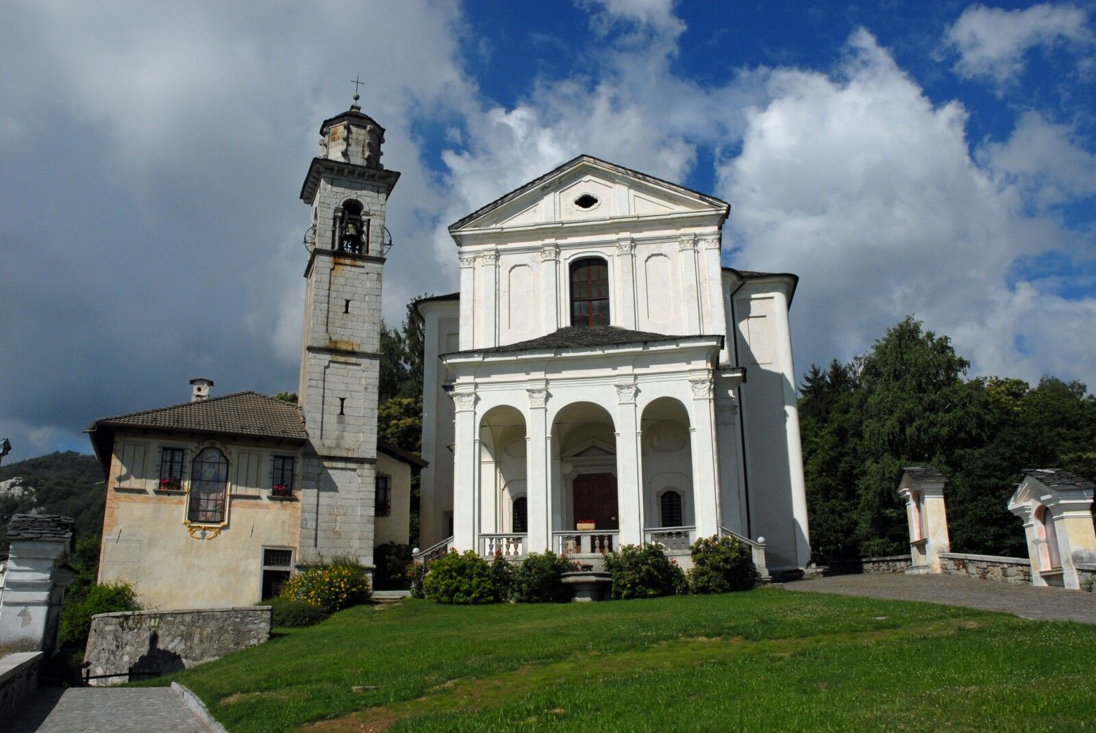
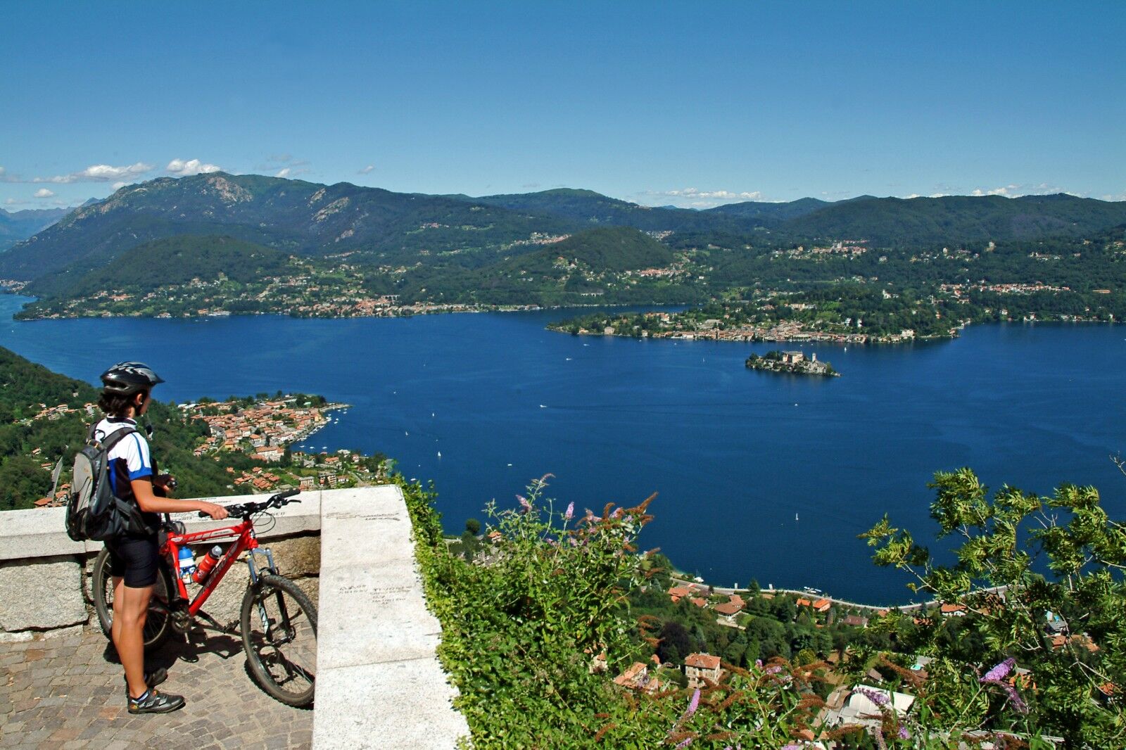
At the entrance to Boleto, turn right, following via Monte Avigno and reach the Sanctuary of Madonna del Sasso, with the panoramic square overlooking Lake Orta. Retracing via Santuario, at the stop sign turn right along via Riotti, at the next stop turn left and then follow the signs for Artò and Centonara.
Passing the sports field and crossing the small hamlet of Artò, on the left you reach the parish church of San Bernardino to start descending towards the village of Centonara and Alzo di Pella: at the end of the descent, at the stop sign turn left and then at the next stop turn right towards the center of Alzo. After the parish church and a roundabout, turn left downhill following the signs for Pella, until the church of S. Filiberto: at the stop sign turn right and continue towards San Maurizio d’Opaglio. After the climb, you reach the traffic light and turn left along via Roma towards Gozzano, continuing on a long flat stretch until the area of the Gozzano sports field: at the roundabout keep right towards Pogno and, after a last steep climb (called “the kilometer”), you return to Pogno.
Adequate equipment is recommended, with a windproof jacket and a change of clothes if needed, as well as a good supply of water.
S1
Rest and refreshment points, with bars and restaurants, along the route, especially near the Sanctuary of Madonna del Sasso.
To see, the Sanctuary of Madonna del Sasso, the Church of San Filiberto of Pella. On the flat, Orta and San Giulio Island.

Popularne wycieczki w okolicy
-
Tour of Lake Orta
światłoMountainbike 35,4 km -
4,7
Coiromonte - Monte del Falò
średniWędrówka 6,16 km -
4,0
San Giuda Taddeo - Mottarone - Alpe Nuovo - Rifugio Genziana
średniWędrówka 4,63 km -
On the Hills from Cavallirio and Boca
światłoWędrówka 9,73 km -
5,0
Meina to Stresa
średniE-Bike 34,8 km -
From Grignasco to the Crag of Ara
światłoWędrówka 6,94 km -
In the hills of Borgomanero
średniMountainbike 41,3 km -
Grand Tour UNESCO Stage 2 | From Biella to Casale Monferrato
ciężkiKolarstwo długodystansowe 178,2 km -
From Invorio to Armeno through the villages of Vergante
średniMountainbike 41,0 km -
BicinVigna with Antonelli
średniMountainbike 25,2 km
Wędrówki i tropienie


Nie przegap ofert i inspiracji na następne wakacje
Twój adres e-mail została dodana do listy mailingowej.





