


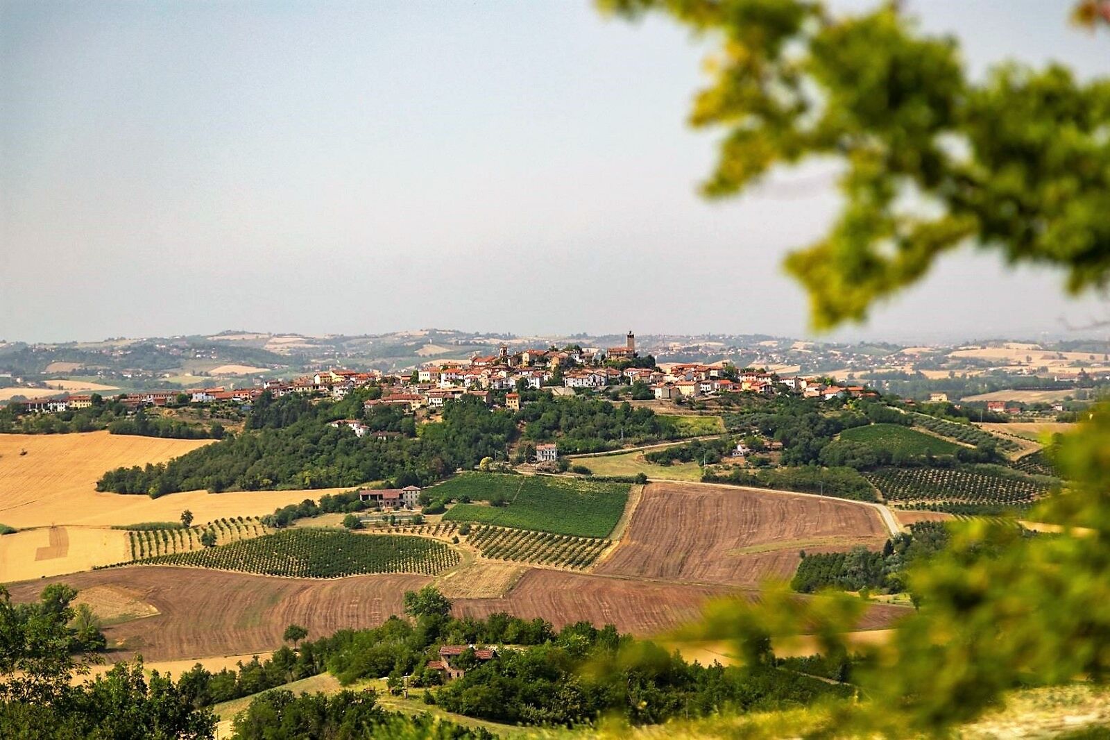
Gabiano, between the river and the hill ( from Monferratoutdoor.it)
Spectacular itinerary in a panoramic position among the vineyards surrounding the Gabiano Castle, one of the oldest and largest manors in Monferrato, with its notable mass rising above the Po. Splendid...
Spectacular itinerary in a panoramic position among the vineyards surrounding the Gabiano Castle, one of the oldest and largest manors in Monferrato, with its notable mass rising above the Po. Splendid amphitheater-shaped vineyards extend all around, creating a particular effect scenographic.

Continue until you find the signs for via Rairolo, where the road begins to climb more decisively to become even steeper until you cross a dirt road: turn left downhill and you get to touch the first houses of Varengo.
Turn right onto the paved road downhill, enter Rosingo and, just after the curve, turn left (Via Fratelli Bandiera); after a hairpin bend you find yourself on a dirt road and with a wide uphill curve you cross another dirt road, turn right downhill and then, uphill, you arrive on asphalt, turn right downhill to the valley floor and there it enters the SP 1 turning left for a few meters, then right for Martinengo and Cantavenna; the road climbs gradually, keep left and cross the small hamlet of Martinengo; the climb continues and you can admire a beautiful panorama of the surrounding hills and the Alps up to Monviso; you then arrive at Serra and then Cantavenna on the SP 5, turn left and continue until Zoalengo (on the right at the bend there is a viewpoint over the plain and the Leri Cavour power plant).
When you get to the first houses in the town, turn left downhill (in the curve, on the right there is a playground and a panoramic point), then immediately into the underpass; here the road narrowly wedges between the side hills and with a very fast descent you arrive in the plain of the Po, called Piana delle Ghiaie, a fertile area of various crops; from the only crossroads present, continue straight for about 600 m, make a mandatory left turn after 900 m. approximately (alternatively you can turn right and reach the river in the equipped area of the Po and Orba Park). Go straight on and you'll go back to Piagera: on the SP 1, turn right and you'll arrive at the Public Weight, starting and finishing point.
From the public parking lot of Piagera go right to Gabiano, over the crossroads for Villamiroglio and after the curve take the first dirt road to the right, which will come out on an asphalted road (later you can take a left turn to see the Ruins of Miroglio Castle).
Continue until you find road signs for via Rairolo; Here the road starts to rise more firmly, then steeply up to the crossing of an unpaved road, turn left downhill brushing past the first houses of Varengo .
Turn right on the downhill asphalted road, then you enter Rosingo and just after the curve turn left (Via Fratelli Bandiera); After a bend you are on dirt road and with a wide uphill curve intersecting another dirt road, turn right and then go down and then uphill, arriving on an asphalted road, turn right downhill to the bottom of the valley and enter on to the SP 1 turning left for a few meters, then right for Martinengo and Cantavenna; the road climbs gradually, keep left and go through the small village of Martinengo; the climb continues and you can admire a beautiful view of the surrounding hills and of the Alps to Monviso; arriving at Serra and then Cantavenna on the SP 5, turn left and continue until Zoalengo (there is a viewpoint over the plains and center of Leri Cavour to the right in the curve).
When you reach the first houses of the village, turn left downhill (in the curve, on the right there is a play area and a panoramic view point) Just after the underpass, the road is narrowly wedged between the hills and with a fast descent you arrive in the plain of the Po, also known as the Plain of gravels, a fertile area of various crops; From the only intersection you find, continue straight for about 600 m, turn left after about 900 m. (if you want you can turn right to the river in the facility of the Po Park and Orba.); otherwise go straight and you get to Piagera on the SP 1, turn right and you will arrive at the public parking lot, the starting and finishing point.
Popularne wycieczki w okolicy
Sentiero panorami e ciminiere di Ozzano - Sentiero 738 in camminata
Trasa pielgrzymki 7,20 kmAmong medieval forests
światłoMountainbike 10,1 kmSentiero 700 - SVC Tratto Murisengo - Crea in mountain bike
Mountainbike 18,6 kmPanoramas and chimneys path of Ozzano - Path 738 by mountain bike
Mountainbike 7,20 kmAvanti Savoia!
średniMountainbike 25,0 kmTrino, the chequered sea
średniMountainbike 50,5 kmSentiero giro del Monte Favato - sentiero 711 in mountain bike
Mountainbike 6,43 kmSentiero giro del Monte Favato - sentiero 711 in camminata
Trasa pielgrzymki 6,43 kmSentieri i colli pietrosi - Sentieri 737 in mountain bike
Mountainbike 6,52 kmSentiero il Monte Lungo - Sentiero 712 in mountain bike
Mountainbike 6,74 km
Wędrówki i tropienie


Nie przegap ofert i inspiracji na następne wakacje
Twój adres e-mail została dodana do listy mailingowej.