


Historic Mountain Routes | Cadorna Line Stage 3 | Pian Cavallo-Morissolo
Zdjęcia naszych użytkowników
-
 © Enrico SchneiderUtworzono dnia 27.09.2022
 -
 © Enrico SchneiderUtworzono dnia 27.09.2022
 -
 © Andreas WaldUtworzono dnia 18.07.2025
 -
 © AnerUtworzono dnia 21.09.2025
 -
 © AnerUtworzono dnia 21.09.2025
 -
 © AnerUtworzono dnia 21.09.2025
 -
 © AnerUtworzono dnia 21.09.2025
 -
 © AnerUtworzono dnia 21.09.2025
 -
 © AnerUtworzono dnia 21.09.2025
 -
 © AnerUtworzono dnia 21.09.2025
 -
 © AnerUtworzono dnia 21.09.2025
 -
 © AnerUtworzono dnia 21.09.2025
 -
 © AnerUtworzono dnia 21.09.2025
 -
 © AnerUtworzono dnia 21.09.2025
 -
 © Christof SeckingerUtworzono dnia 05.01.2023
 -
 © Christof SeckingerUtworzono dnia 05.01.2023
 -
 © Christof SeckingerUtworzono dnia 05.01.2023
 -
 © Christof SeckingerUtworzono dnia 05.01.2023


The immense defensive structure, built between the summer of 1915 and the spring of 1918, extended from Ossola to Verbano up to Lombardy, becoming a dense network of military roads and mule tracks, trenches,...
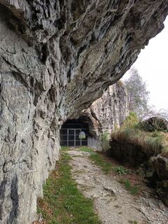
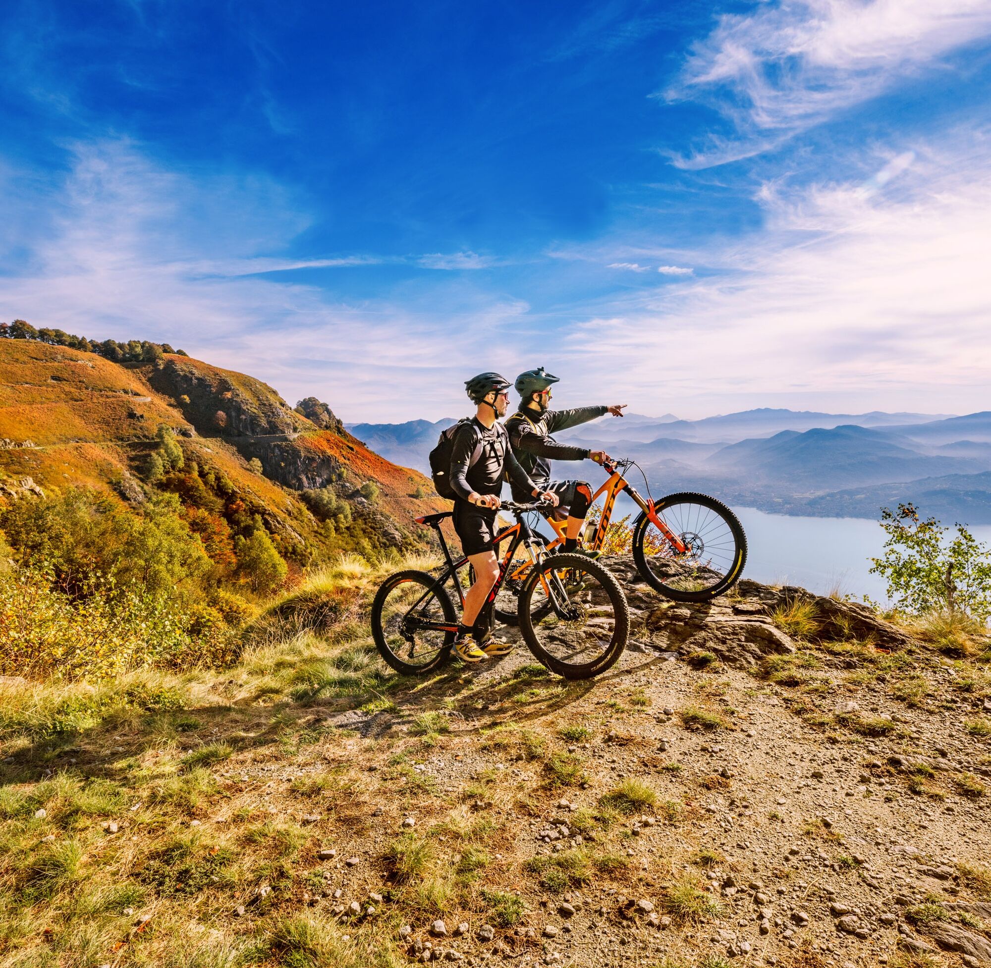
The immense defensive structure, built between the summer of 1915 and the spring of 1918, extended from Ossola to Verbano up to Lombardy, becoming a dense network of military roads and mule tracks, trenches, artillery positions, lookout points , hospitals and logistic structures, barracks and lookout points. The works were carried out by local masons and stonemasons and women also played a fundamental role in the construction, especially in the transport of materials and supplies to the construction sites. The Cadorna Line was never used for war purposes and today this military road is a historical heritage that allows the community to get to know a moment in the history of the twentieth century. However, it is also a naturalistic heritage of paths for lovers of trekking and mountain biking, offering paths that can be traveled almost all year round.

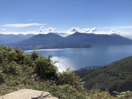
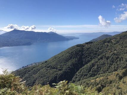
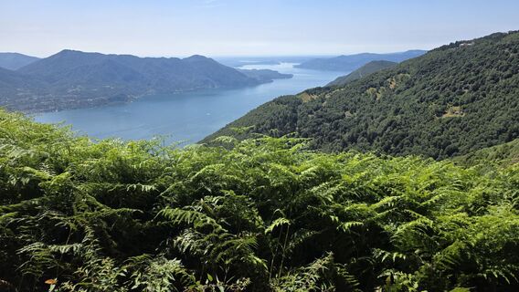
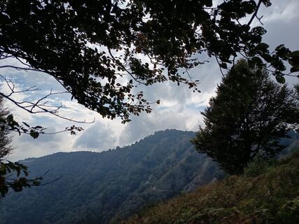
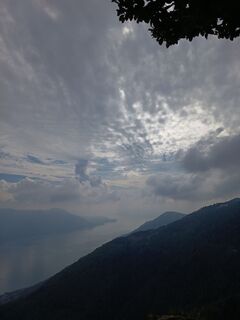
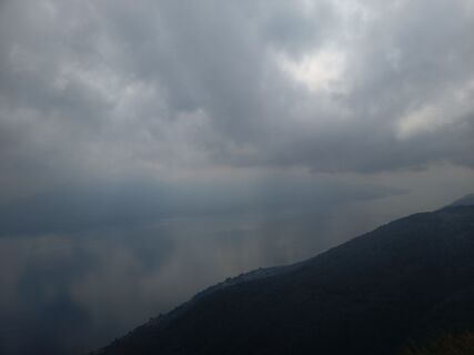
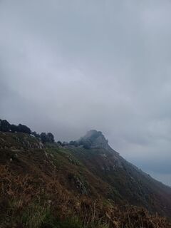
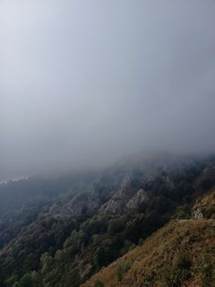
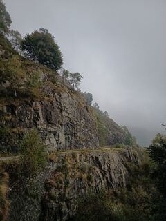
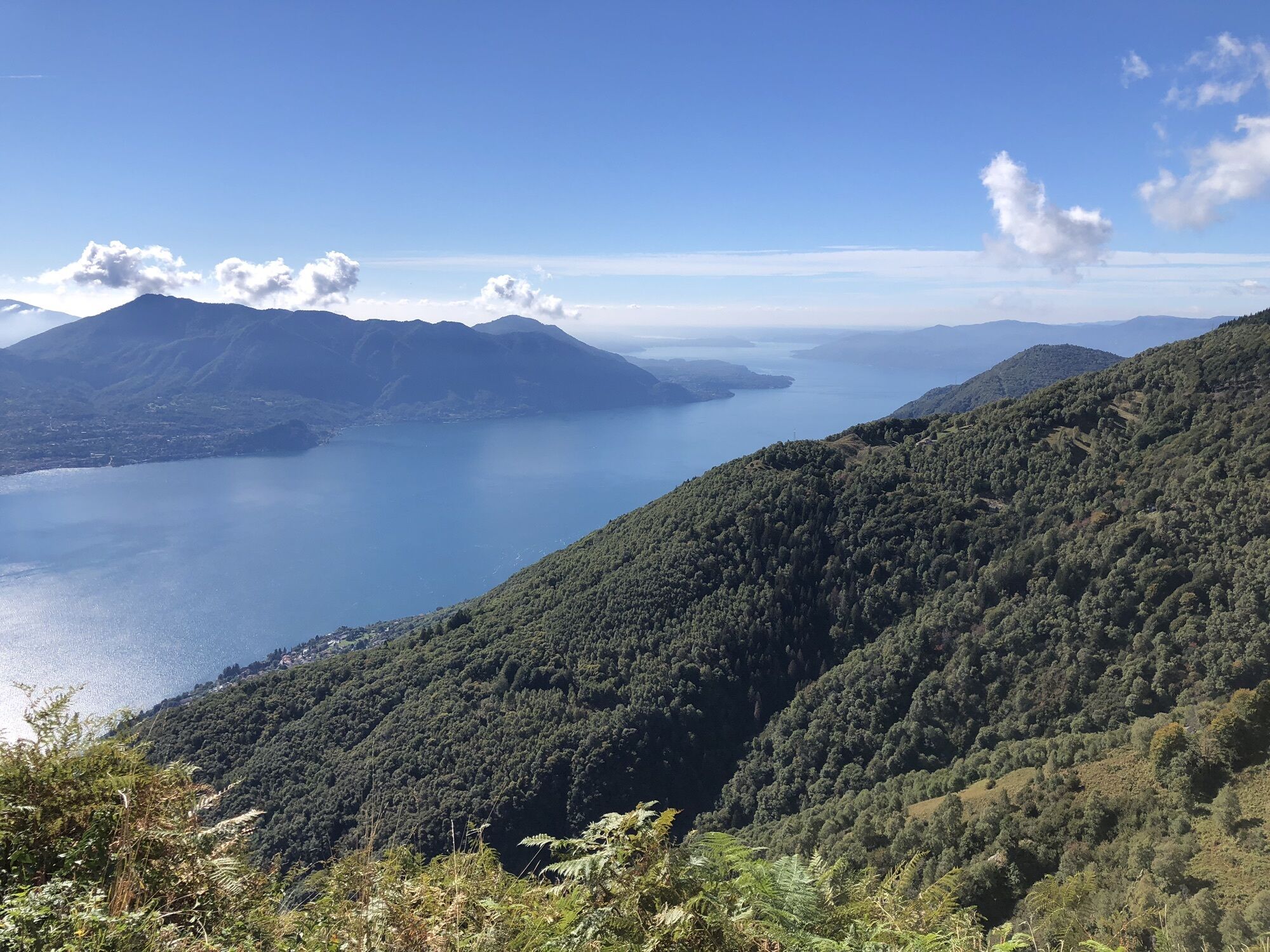
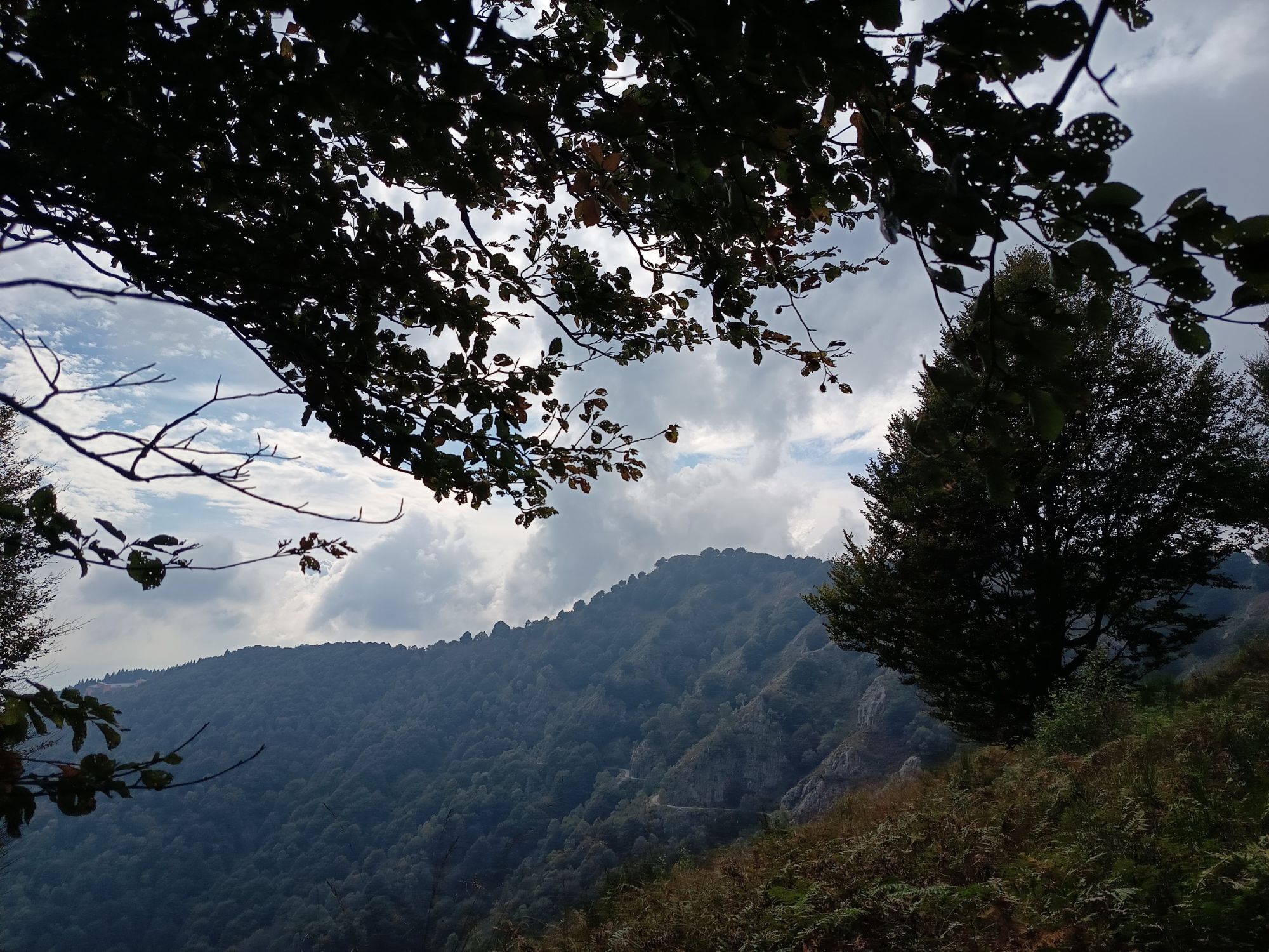
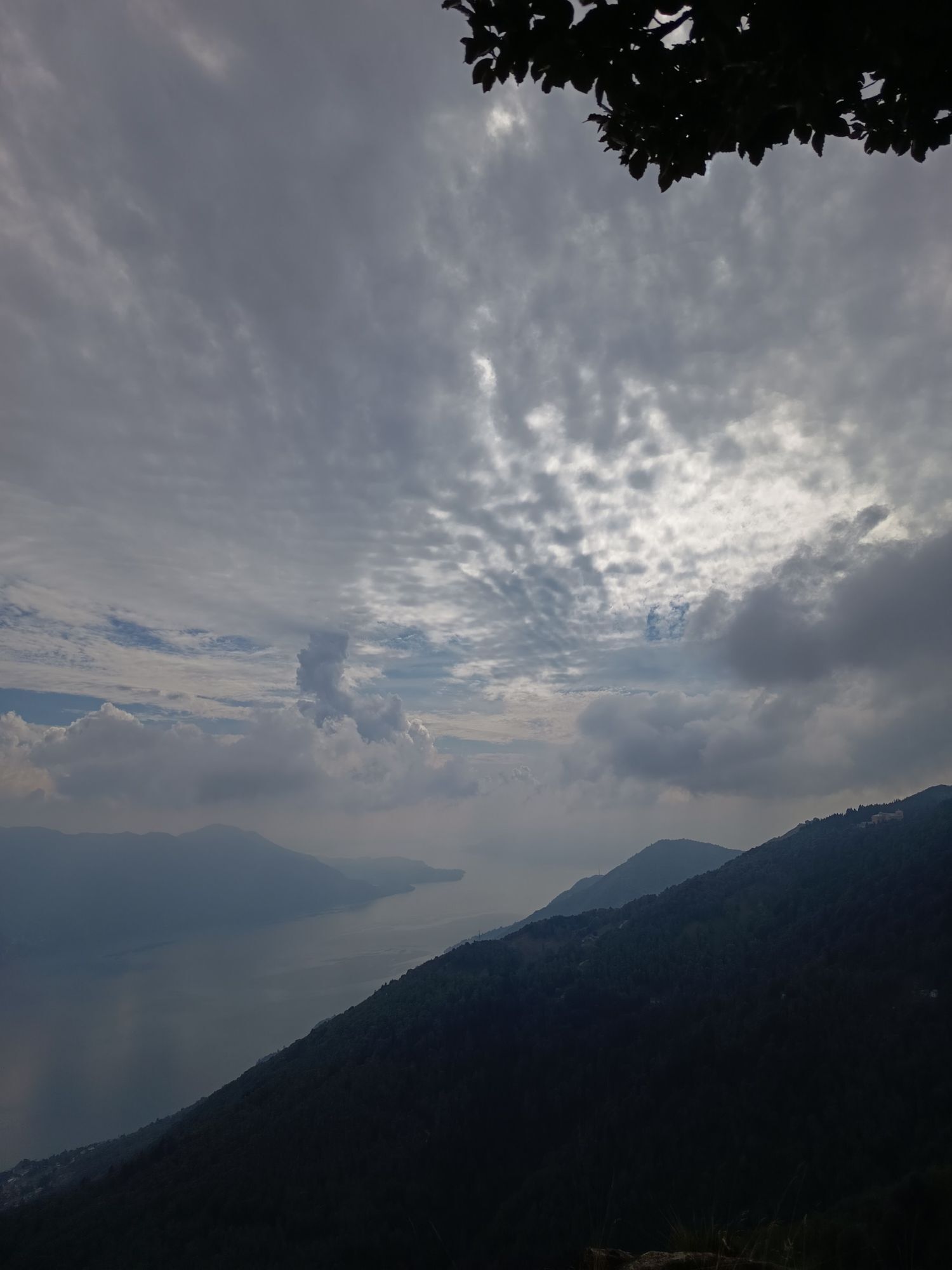
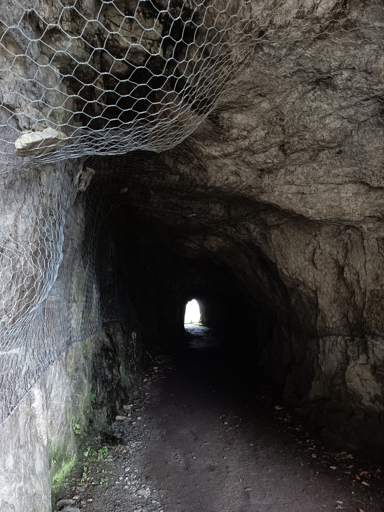
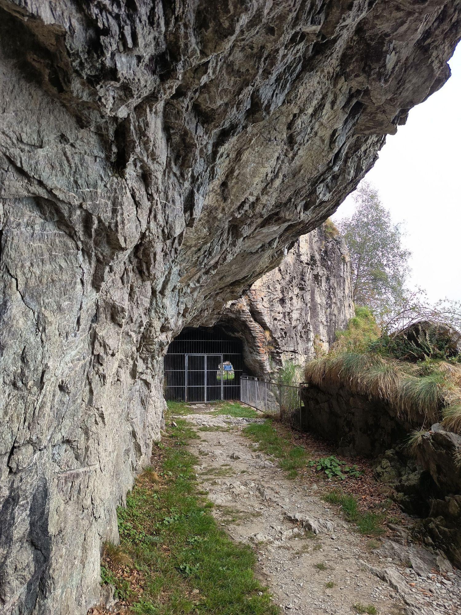
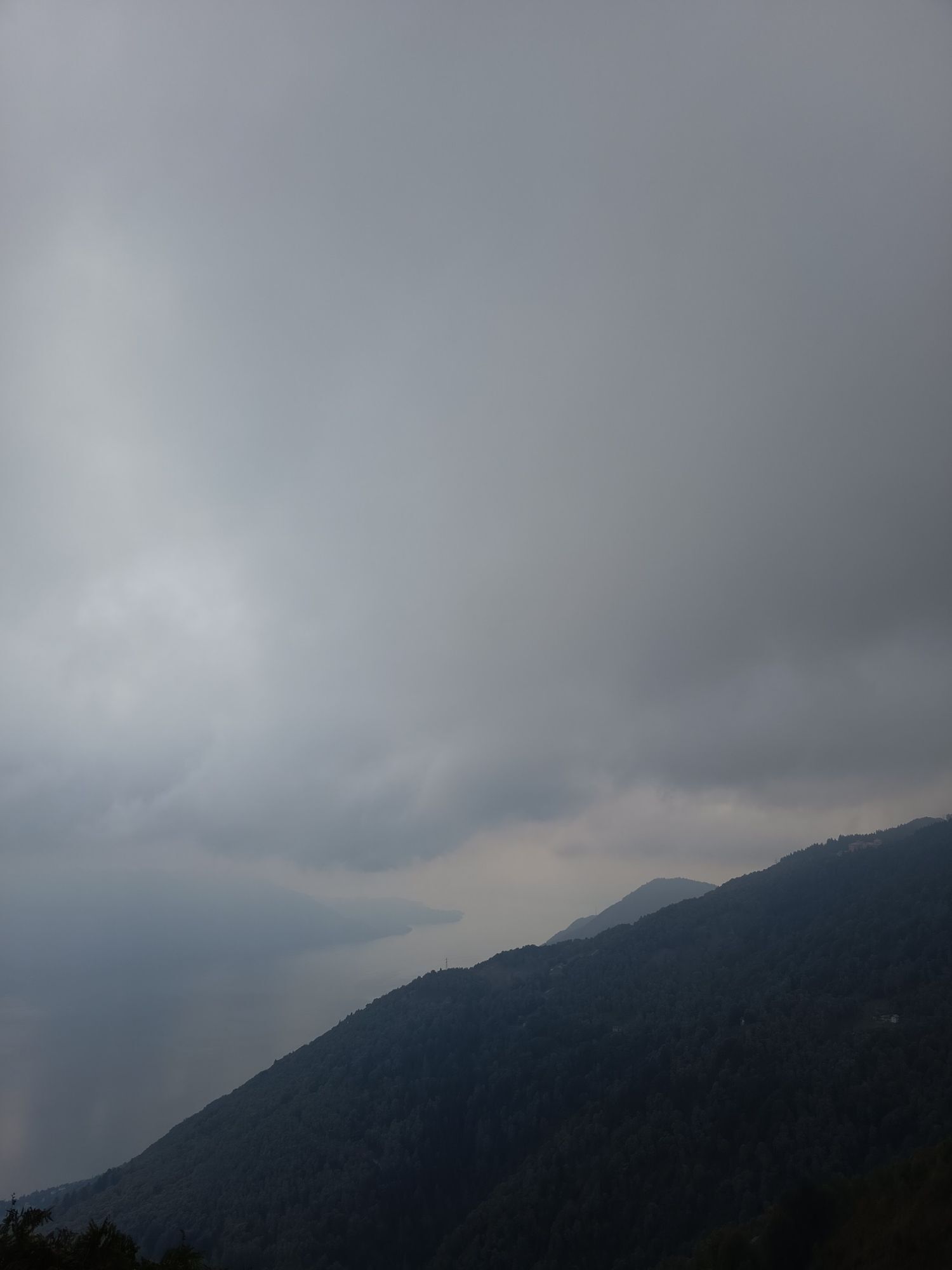
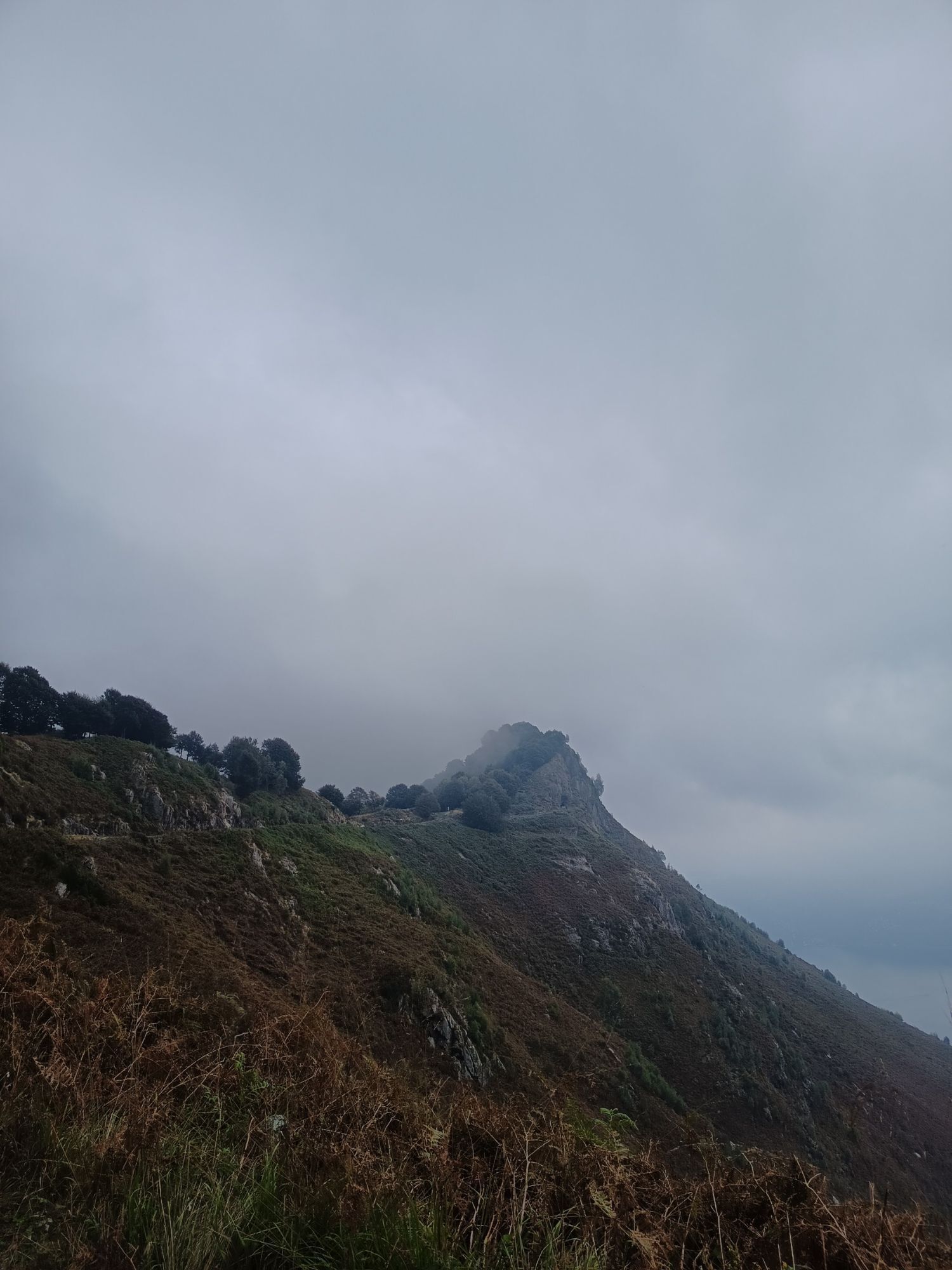
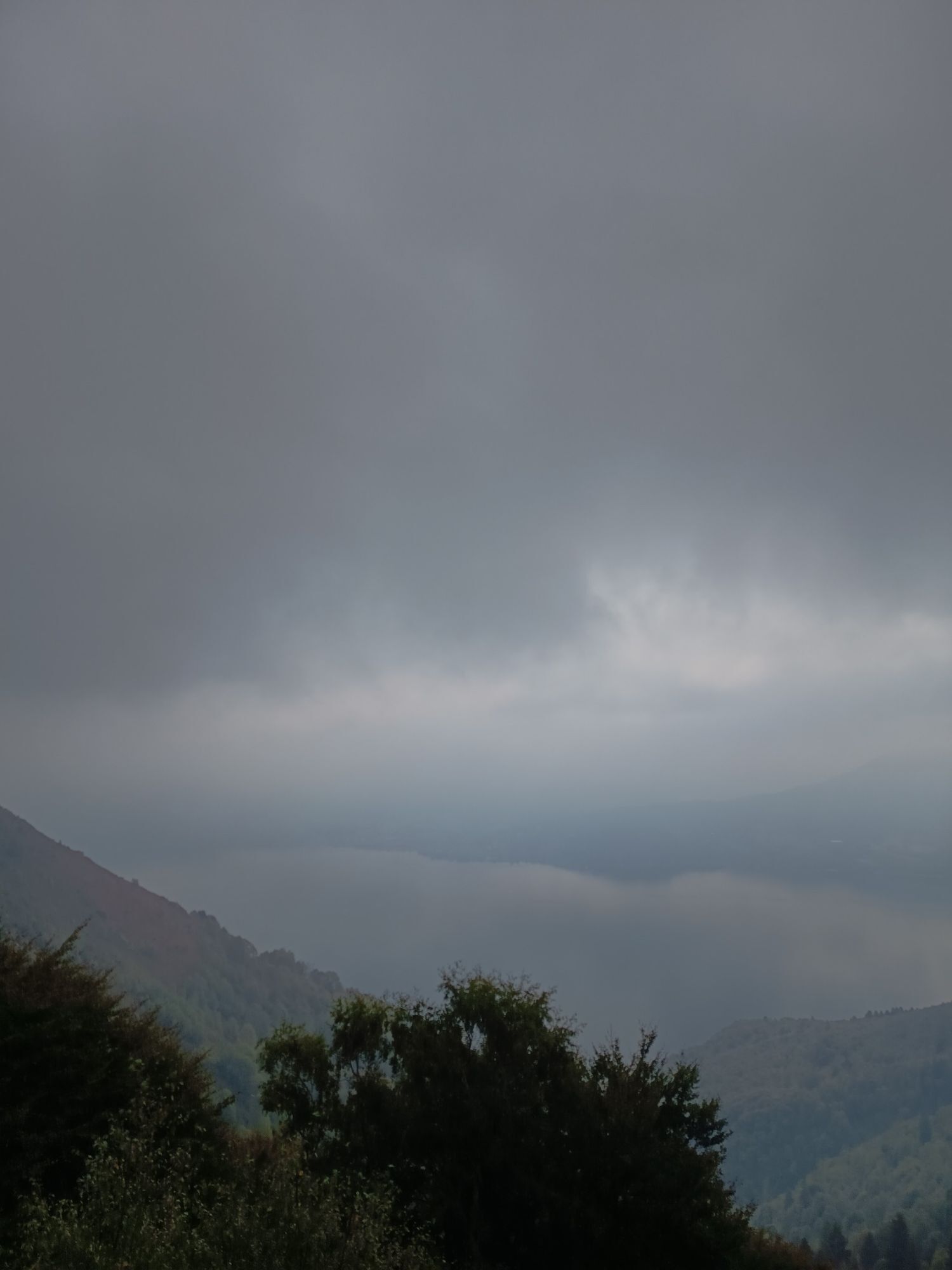
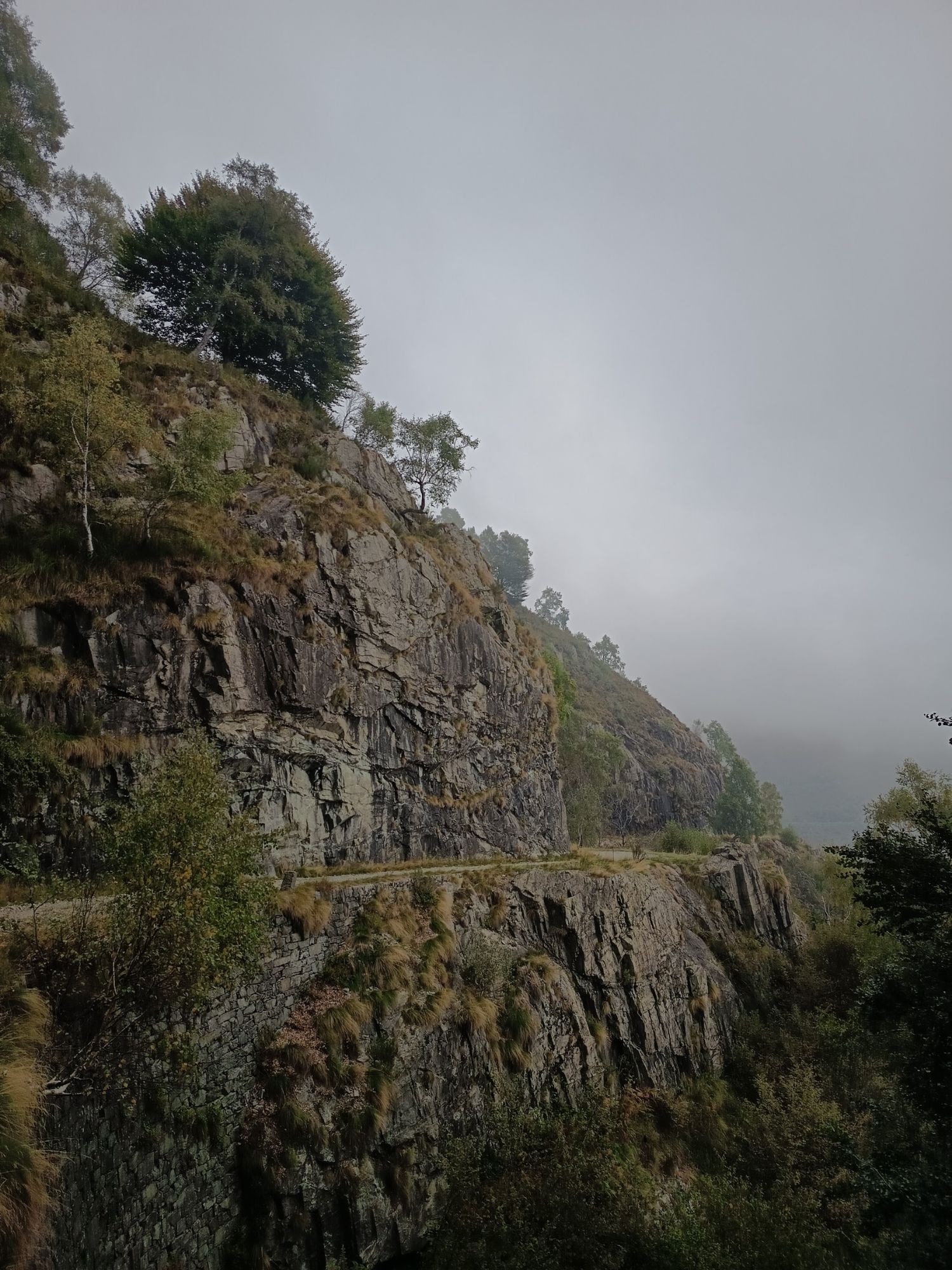
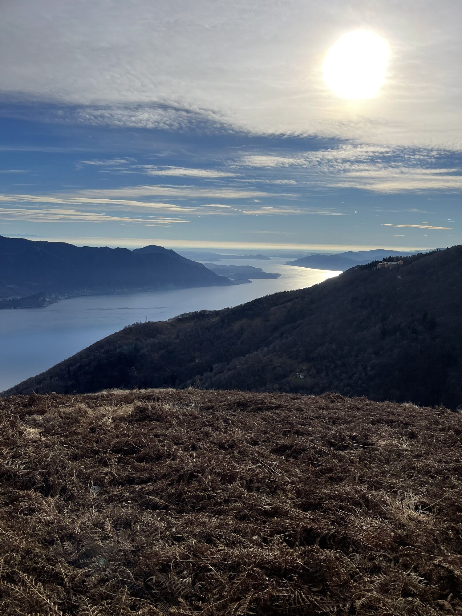
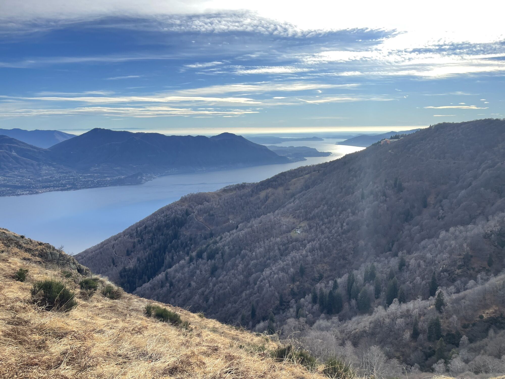
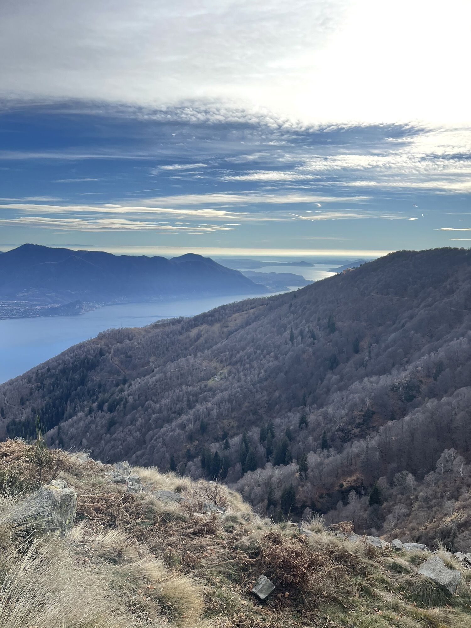
The section of the Cadorna Line between Piancavallo and Morissolo begins in Piancavallo (1247 m asl) in the Upper Verbano area, following the road to Colle. After the Auxologico hospital, take the dirt road to the right following the signs for the tunnels of Monte Morissolo. You pass a bar and from here the flat route begins on the wide military road that crosses a suggestive beech forest. Coming out of the woods, one is struck by the breathtaking view of Upper Lake Maggiore. In just under half an hour on foot you reach the tunnels dug into the living rock and the cave emplacements of Monte Morissolo.
Tak
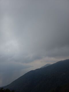
The road is unprotected in some places. Also, care should be taken in case of recent snowfalls.
Popularne wycieczki w okolicy
-
3,8
Cannobio zu Sant’Aagata
światłoWędrówka 5,85 km -
4,0
Cicogna, Strada Sutermeister, Alpe Pogallo, Alpe Pra, Cicogna
średniWędrówka 9,83 km -
5,0
Himmel
średniWędrówka 12,7 km -
4,2
Um den Lago di Mergozzo
Wędrówka 7,93 km -
5,0
Mergugno: in the yellow forest
średniWędrówka 6,44 km -
4,3
Collegiata di San Vittore - Cannobio - Chiesa di San Gottardo - Trarego Viggiona
średniWędrówka 7,21 km -
5,0
Lakeside Maggiore Route
ciężkiDroga rowerowa 162,8 km -
4,3
Pian Cavallone
światłoWędrówka 7,55 km -
4,0
Schöner Höhenweg über dem Lago Maggiore
średniWędrówka 11,0 km -
Monte Faiè
średniWędrówka 6,37 km

Wędrówki i tropienie


Nie przegap ofert i inspiracji na następne wakacje
Twój adres e-mail została dodana do listy mailingowej.