







Vigezzo Bike Land: the Druogno-Re “Pineta” cycle and pedestrian path
Poziom trudności: 1
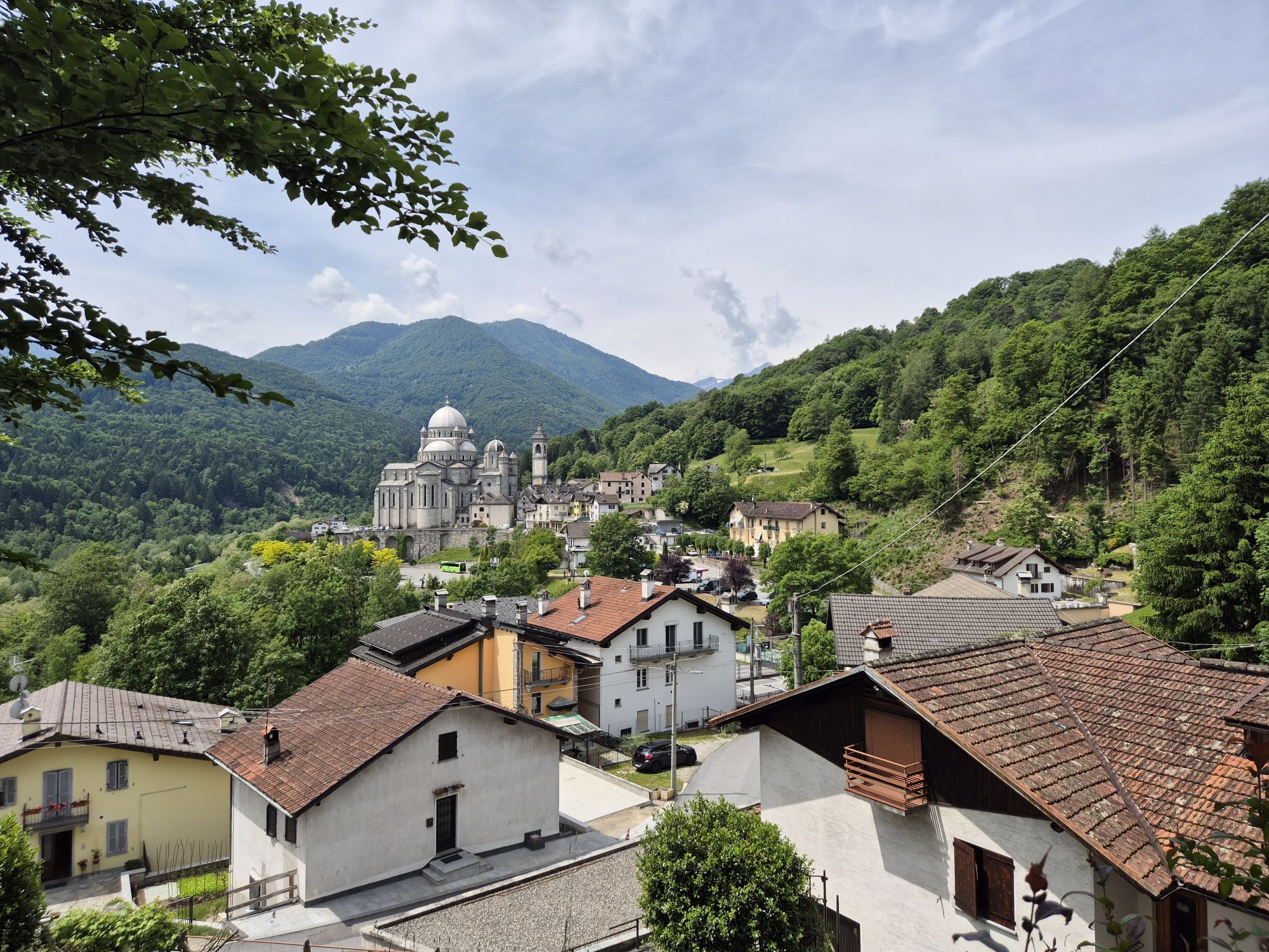
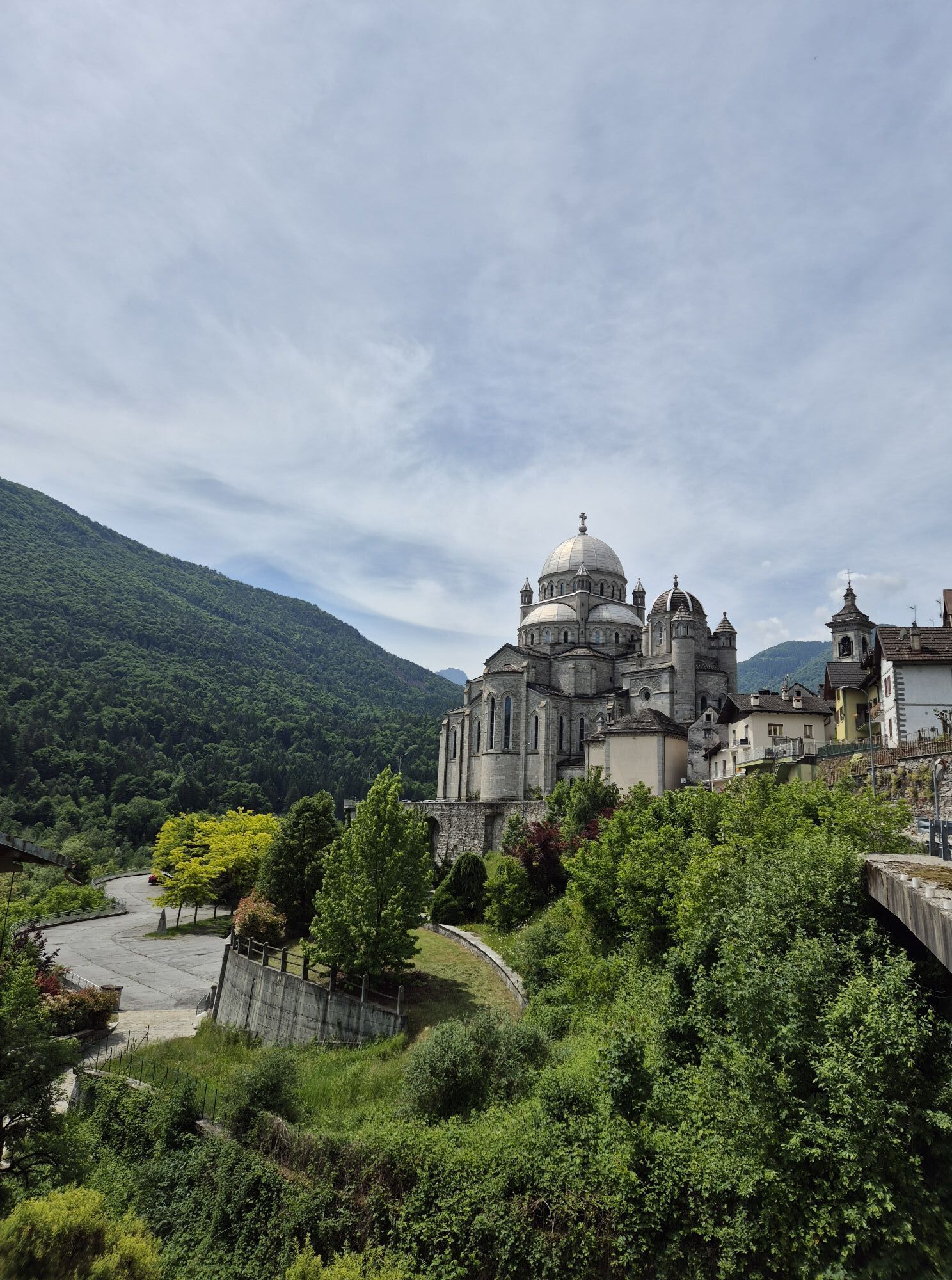
There are 15 signposted cycling and walking routes in the Vigezzo Valley, some of which use cycle paths and some agricultural tracks or existing roads.
The main route is No. 1 Percorso Druogno - Re “Pineta”....
The main route is No. 1 Percorso Druogno - Re “Pineta”. This is the Val Vigezzo's cycle route par excellence, with a dedicated cycle path that is almost continuous, except for a short section on a secondary road with low traffic before the Santa Maria Maggiore sports field and through the village of Malesco.
The route starts at the Druogno station and crosses the “pine forest” to Santa Maria Maggiore, skirting the foot of the slope and passing by the Centro del Fondo (cross-country skiing centre) and the sports field in the Praudina locality. It then continues, always flat, until it crosses the Loana stream at the Pozzo Vecchio waterfall on a spectacular suspension bridge and then descends into the centre of Malesco. Along internal roads, cross the village and continue eastwards until descending to the long bridge that crosses the Torrente Melezzo Orientale stream. After the bridge, turn right along the river until you reach the foot of the village of Re, then cross the river again on the bridge and immediately turn left until you reach the spectacular Pozzo Maglione gorge, which you cross over the old stone bridge. From here, climb up a small road until you cross the main road and close the route at the Sanctuary of Re.


Tak
Due to the high number of cyclists and hikers in the summer, it is advisable to maintain a moderate speed at all times.
From Milan: A8 towards AUTOSTRADA DEI LAGHI, then E62-A26 towards GRAVELLONA TOCE until the SEMPIONE - CONFINE DI STATO exit. Then merge onto E62 / AUTOSTRADA DEI TRAFORI and take the right exit towards SS33 VAL VIGEZZO - MASERA. Continue to Druogno. Approximately 1.5 hours.
From Turin: E25 – A26 ALESSANDRIA-GRAVELLONA TOCE towards GRAVELLONA TOCE; follow A26 – GRAVELLONA TOCE SP33 – DEL SEMPIONE. Continue on SS33 / E62 until the SS337 – VAL VIGEZZO MASERA exit. Continue to Druogno. Approximately 2 hours.
From Genoa: A26 – ALESSANDRIA E80 – A10 VENTIMIGLIA E70 – A21 TURIN; Continue on the E25 / AUTOSTRADA DEI TRAFORI. Near CASALE MONFERRATO, turn right onto the A26 GRAVELLONA TOCE SP33 – DEL SEMPIONE. Continue on the SS33 / E62 until the SS337 – VAL VIGEZZO MASERA exit. Continue to Druogno. Approximately 2.5 hours.
From Locarno: After crossing PONTE BROLLA, turn left onto VIA CANTONALE. Go through VERSCIO and continue on STRADON. At CAVIGLIANO, continue on VIA CANTONALE towards INTRAGNA. Turn right towards CASE MADONNA and follow VIA CANTONALE. Continue onto SALMINA and then onto CORCAPOLO. Go through the CUSTOMS CENTRE and continue along the SS337 to Re. Approximately 40 minutes.
From Simplon: 9/E62, towards SIMPLON BRIG. After passing the GAMSEN TUNNEL, turn right towards 9/E62 MILANO I – DOMODOSSOLA - SIMPLON. Follow signs for SIMPLONPASS and continue towards SS33 E62. Pass through ISELLE and continue to the SS337 - VAL VIGEZZO MASERA exit. Then straight on to Druogno. Approximately 1.5 hours.
BY PLANE
The nearest airports are Malpensa and Linate.From there, follow the directions under "By Car" on the left, assuming Milan is your starting point.
From Milan: Take the Milan-Geneva international railway line to Domodossola, skirting Lake Maggiore.
From Novara: Take the Novara-Gozzano-Domodossola railway line to Domodossola, enjoying Lake Orta.
From Brig: Take the Brig-Glis international railway line to Domodossola, crossing the Alps via the Simplon Tunnel.
From Locarno: Take the Locarno-Domodossola international narrow-gauge railway line, known as the Vigezzina to Italians and the Centovallina to the Swiss.
For timetable information, please visit trenitalia.com.
From Domodossola to the Vigezzo ValleyT
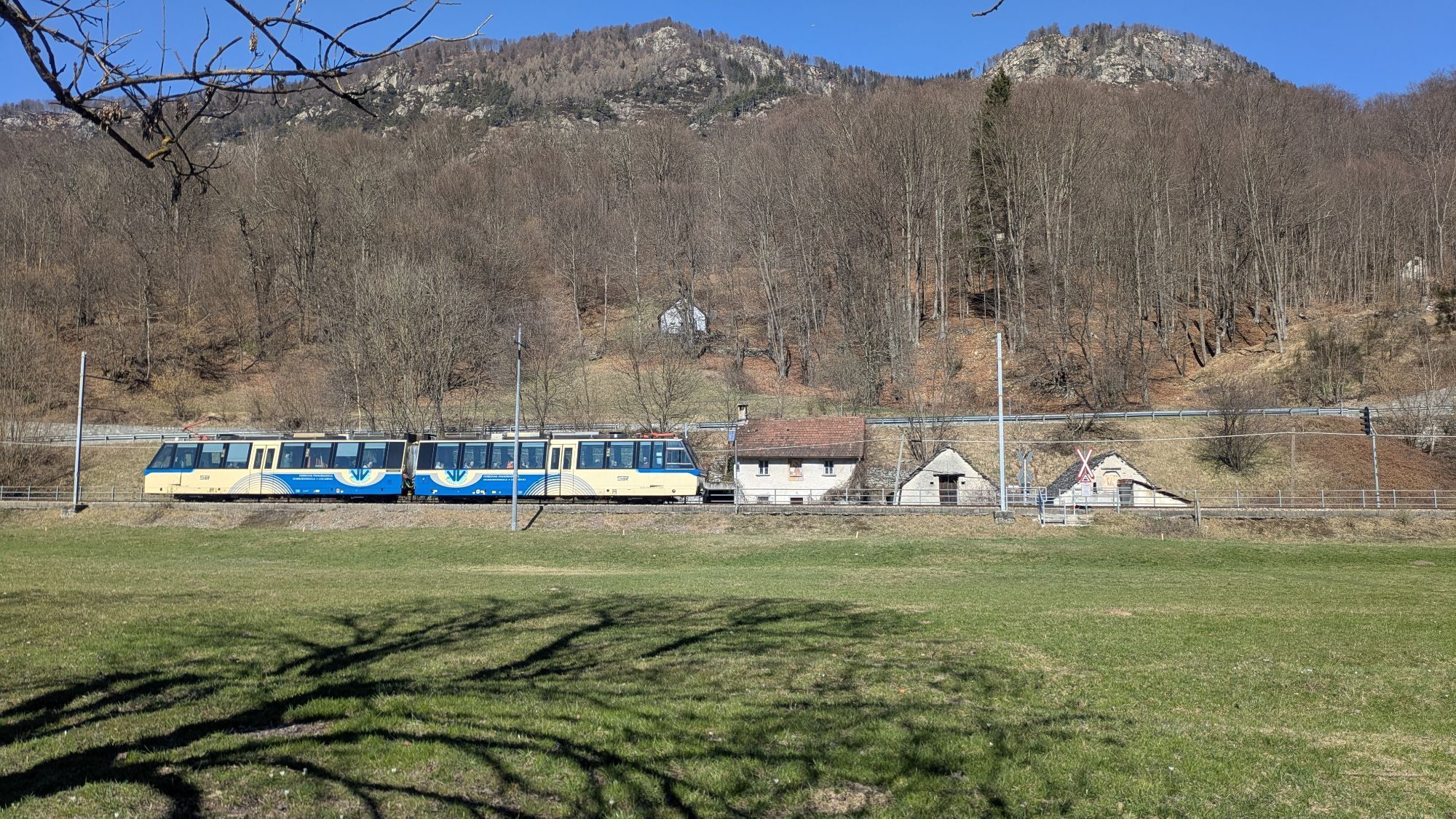
The characteristic white and blue Vigezzina train (Domodossola-Vigezzo Valley-Locarno route) will take you through truly picturesque landscapes to the valley. When purchasing your Vigezzina ticket, remember to specify your destination, as some stops are only available upon request.
For information on the Vigezzina timetable, please visit vigezzina.com
Simplon Tunnel: The tunnel between Italy and Switzerland passes under Monte Leone and the Alpe Veglia Park. At the time of its construction (1905) and for the following 76 years (1905), it was the longest railway tunnel in the world.
From Brig, Switzerland, or Iselle, Italy, you can take your car on the Passante railway.
From Iselle, to reach the Vigezzo Valley, follow the directions from Brig under "By Car."
For information on the Passante railway timetable, please visit valdivedro.it
1
A route suitable for everyone, ideal for families with children: almost always flat, with no major differences in altitude and surrounded by immense coniferous forests that guarantee coolness even on the hottest summer days.
Popularne wycieczki w okolicy
-
5,0
Spruga-Alpe Saléi-Comologno
średniWędrówka 8,96 km -
4,0
Cicogna, Strada Sutermeister, Alpe Pogallo, Alpe Pra, Cicogna
średniWędrówka 9,83 km -
3,5
The Market Route (SwitzerlandMobile 631)
średniWędrówka 12,1 km -
5,0
Mergugno: in the yellow forest
średniWędrówka 6,44 km -
4,3
Pian Cavallone
światłoWędrówka 7,55 km -
The energetic places of Ghiridone
średniTrasa tematyczna 7,35 km -
5,0
Monte Comino-In di Mètri-Monte Comino
średniWędrówka 5,98 km -
5,0
Val Pale - Pizzo Pernice, Piemonte/Italia
średniWędrówka 6,14 km -
5,0
Val Cannobina route
średniDroga rowerowa 78,2 km -
5,0
Stage 2: Monte di Comino-Selna-Intragna
średnidługodystansowy szlak pieszy 7,10 km
Wędrówki i tropienie


Nie przegap ofert i inspiracji na następne wakacje
Twój adres e-mail została dodana do listy mailingowej.





