







Ring of the Ancient Balteo Glacier - stage 4

Poziom trudności: 3
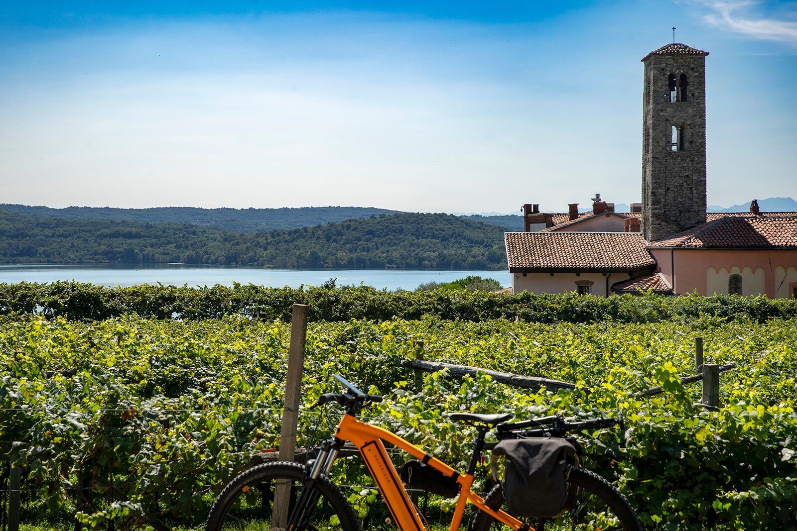
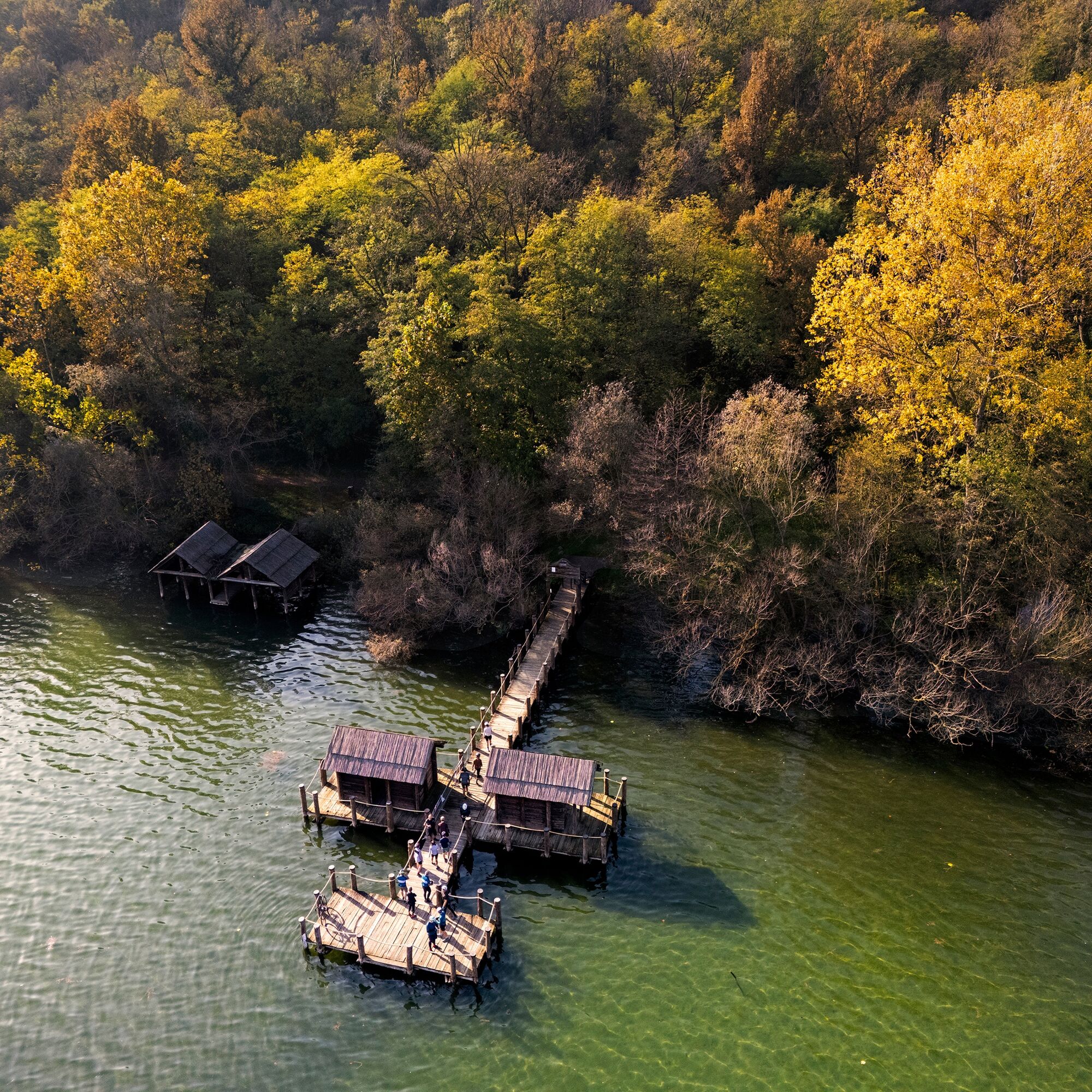
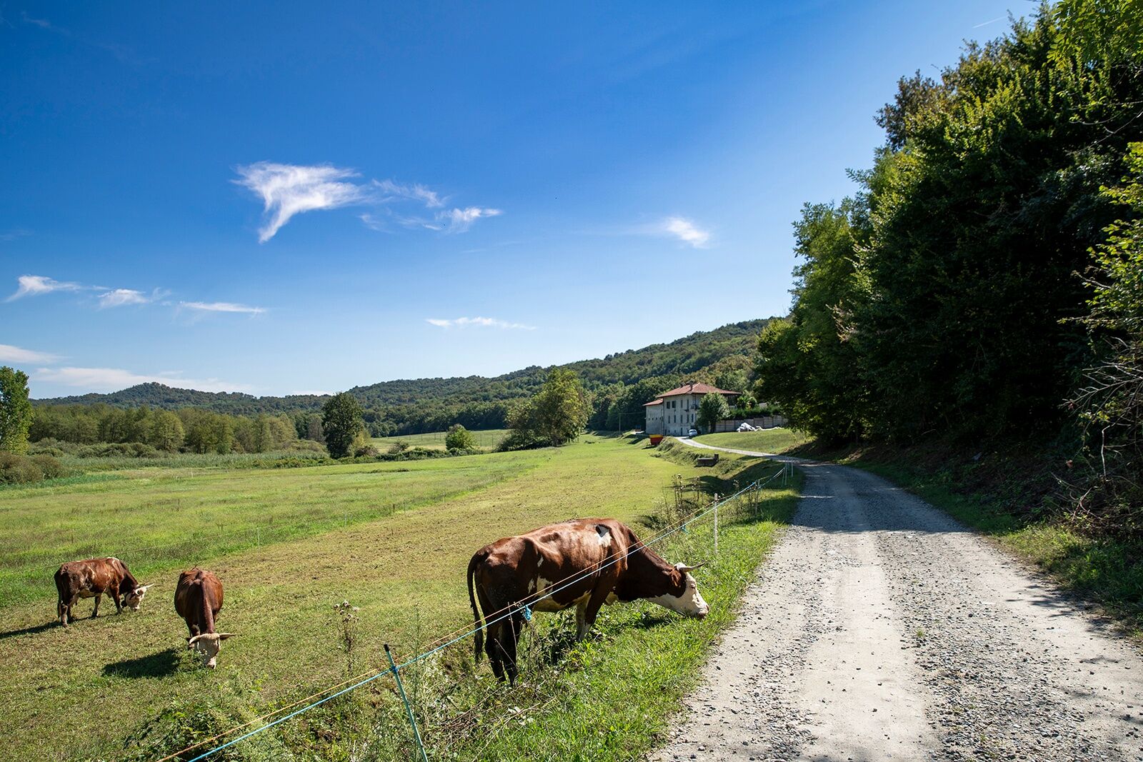
The route begins by circumnavigating Lake Viverone on simple and flat dirt roads. Just before the municipality of Azeglio, slightly deviating from the route, I point out the stilt house site of Azeglio,...
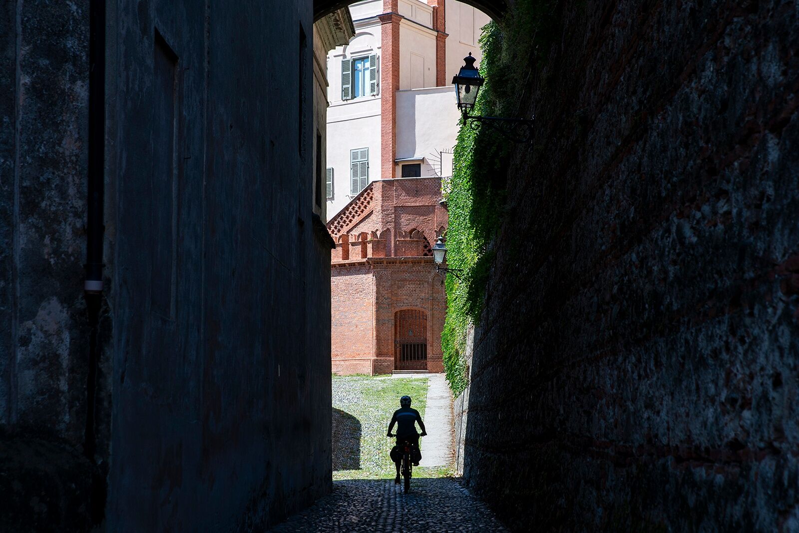
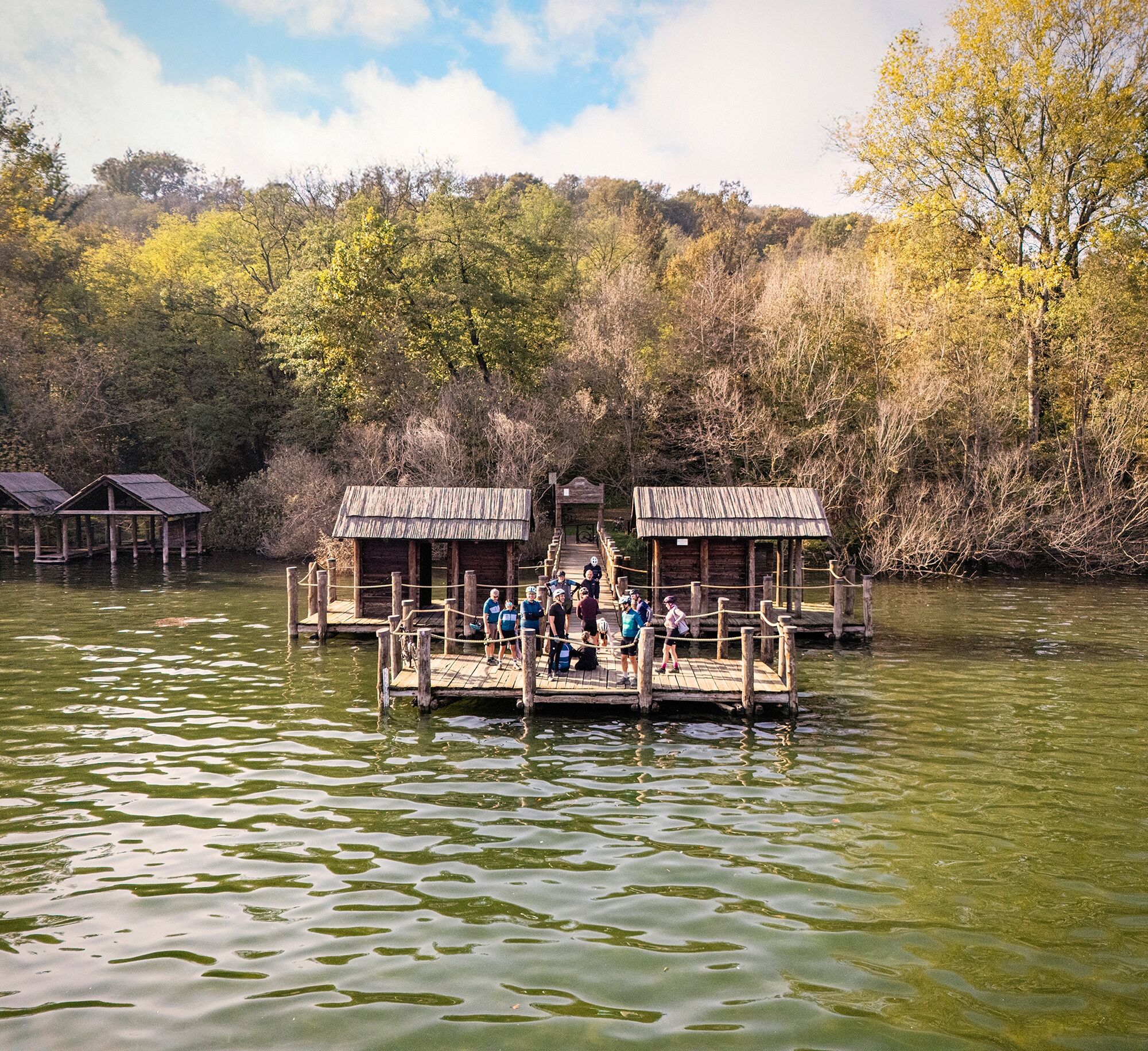
The route begins by circumnavigating Lake Viverone on simple and flat dirt roads. Just before the municipality of Azeglio, slightly deviating from the route, I point out the stilt house site of Azeglio, an important testimony of human life during the Bronze Age, included in the UNESCO World Heritage list as part of the "Prehistoric Pile dwellings around the Alps" complex. The hills of Caravino offer panoramic views and suggestive glimpses, so much so that the upper part of the Castle (owned by FAI since 1998) is called the "balcony of Canavese" precisely for the exceptional view it offers. The Masino Castle, surrounded by the homonymous park, is considered among the most important properties managed by FAI; events to promote culture and heritage are organized here, and temporary exhibitions and themed visits are frequent. Inside the property you can admire the romantic park, the eighteenth-century labyrinth, and the Italian garden. Among the various municipalities crossed in the last section of this route, Maglione stands out, famous for being an open-air museum thanks to the "Open Air Art Museum" (MAAM) project, which gathers numerous mural artworks created by Italian and international artists directly on the facades of houses.


HELMET: Although not mandatory, the use of a helmet is strongly recommended
TIRES: Check that the wheels are properly inflated, as the importance of tire pressure is often underestimated since it increases safety and makes pedaling smoother
LIGHTS: If you plan to ride at dusk or at night, make sure you have front and rear lights, as well as reflectors.
CLOTHING: Bright or reflective clothing is recommended to be more visible to other vehicles.
EMERGENCY EQUIPMENT: Bring a spare inner tube, a pump (or a CO2 cartridge), and tire levers to remove the tire. A small set of tools can come in handy.
TRAFFIC RULES: Follow the traffic signs, always pedal on the right edge of the lane and signal your intentions to other road users.
WEATHER: Check the weather forecast before leaving to avoid adverse weather conditions. In summer months, sunscreen is recommended to protect yourself from UV rays.
by car from Turin via the A4 motorway Santhià exit or via the A5/E612 Albiano exit.
from Ivrea via SP 228
there are no train stations
3
Popularne wycieczki w okolicy
- 3,0
Via Francigena Etappe 5
średniWędrówka 36,7 km CANDIA Lake Candia MTB loop
światłoMountainbike 10,8 kmChiaverano - Church of Santo Stefano di Sessano
średniMountainbike 27,4 kmErratic boulders trail of Vialfré
światłoWędrówka 7,15 kmIVREA Ivrea - Viverone Route
średniKolarstwo długodystansowe 52,4 kmAncient Balteo Glacier Ring - stage 1
średniKolarstwo długodystansowe 49,0 kmCALUSO Lake Candia Loop Morena West
średniJazda na rowerze 31,0 kmMAZZE' Anello Mazzè - Strambino
średniKolarstwo długodystansowe 41,3 kmMAZZE' Lake Candia and Masino Castle Loop
średniJazda na rowerze 44,8 kmCASTELLAMONTE Morena Ovest Loop
średniJazda na rowerze 35,3 km
Wędrówki i tropienie


Nie przegap ofert i inspiracji na następne wakacje
Twój adres e-mail została dodana do listy mailingowej.





