



Nawigacja
Pobierz tę trasę na swój telefon komórkowy
Mapa
Cammini delle alte colline ombrose e delle colline chiare (CCC)

światło
Kolarstwo długodystansowe
154,03 km
Zeskanuj kod QR i rozpocznij nawigację w aplikacji bergfex.
QR Code
Wędrówki i tropienie

Cammini delle alte colline ombrose e delle colline chiare (CCC)

światło
Kolarstwo długodystansowe
Odległość
154,0 km
Czas trwania
15:12 h
Ascent
2 990 hm
Poziom morza
140 - 425 m
Ścieżka do pobrania
Mapa
Cammini delle alte colline ombrose e delle colline chiare (CCC)
światło
Kolarstwo długodystansowe
154,03 km

The paths of the high shady hills and the light hills are characterized as an itinerary of discovery of Monferrato and in its journey it touches and explores all the specificities of this territory. Starting...

Opis

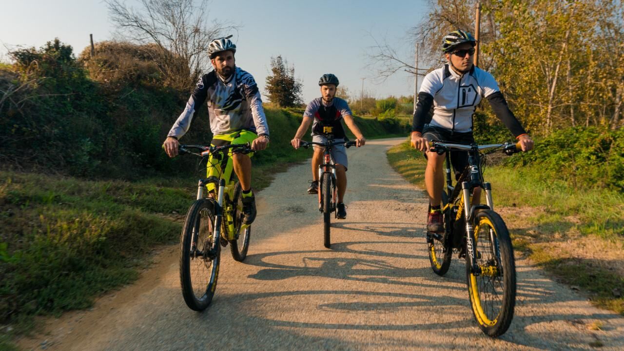
The paths of the high shady hills and the light hills are characterized as an itinerary of discovery of Monferrato and in its journey it touches and explores all the specificities of this territory. Starting from Frinco it travels along the hilly heights of the Rilate Valley where the territory is made up of hilly reliefs characterized by the strong presence of woods with the natural reserve of Valleandona, Vallebotto and Valgrande in this natural context the anthropic presence has strongly characterized the places, which in the Middle Ages were historically linked to the bishopric and the Municipality of Asti in conflict with the Marquisate of Monferrato, with ridge villages and castle nuclei that still today seem to control valleys and communication routes. The route then winds through the north-eastern area of Monferrato, climbing the hills of the Versa Valley up to the heights of the Tanaro valley, where the anthropic presence predominates over the natural peculiarities, the hills present a greater agricultural exploitation linked to the cultivation of the vine combined to the exploitation of geological resources given the numerous quarries and sulfur sources (linked to the geology of the places). This area is also strongly characterized by the hilltop villages linked to the Aleramic domination of the area and the conflicts with the Municipality of Asti.

Trasa
Chiesa di San Desiderio
(260 m)
Miejsce kultu
21,4 km
Salone parrocchiale San Bernardino
(193 m)
Miejsce kultu
42,2 km
San Rocco
(254 m)
Miejsce kultu
52,4 km
Salone parrocchiale San Bernardino
(193 m)
Miejsce kultu
81,1 km
Bric Ambria
(446 m)
Szczyt
95,7 km
Chiesa di Santo Spirito
(278 m)
Miejsce kultu
116,0 km
Chiesa parrocchiale dell'Assunzione di Maria Vergine
(260 m)
Miejsce kultu
153,7 km
Trasa
Mapa
Cammini delle alte colline ombrose e delle colline chiare (CCC)
światło
Kolarstwo długodystansowe
154,03 km
San Silverio
(219 m)
Miejsce kultu
0,1 km
Viarigi
(209 m)
Wioska
0,2 km
Montemagno Monferrato
(248 m)
Wioska
3,5 km
Castagnole Monferrato
(230 m)
Wioska
7,2 km
Scurzolengo
(240 m)
Wioska
13,0 km
San Desiderio
(274 m)
Wioska
20,9 km
Chiesa di San Desiderio
(260 m)
Miejsce kultu
21,4 km
San Rocco
(249 m)
Miejsce kultu
26,0 km
San Michele
(256 m)
Sąsiedztwo
26,4 km
Calliano Monferrato
(258 m)
Wioska
26,4 km
San Rocco
(243 m)
Sąsiedztwo
26,6 km
Pietra
(166 m)
Sąsiedztwo
28,0 km
Osteria L'eremita
(219 m)
Restauracja
36,0 km
Castell'Alfero
(235 m)
Wioska
36,1 km
Chiesa della Madonna della Neve
(211 m)
Miejsce kultu
38,8 km
Frinco
(179 m)
Wioska
42,0 km
Salone parrocchiale San Bernardino
(193 m)
Miejsce kultu
42,2 km
Girbetto di Frinco
(182 m)
Rozliczenie
44,9 km
Castagna
(174 m)
Rozliczenie
50,0 km
Santa Maria
(196 m)
Miejsce kultu
51,0 km
Chiusano d'Asti
(261 m)
Wioska
51,8 km
Madonna Del Carmine
(268 m)
Miejsce kultu
51,9 km
San Rocco
(254 m)
Miejsce kultu
52,4 km
Settime
(272 m)
Wioska
55,1 km
Peschiera
(201 m)
Korytarz/teren
56,9 km
Soglio
(294 m)
Wioska
65,4 km
Il chicco di cafè
(275 m)
Restauracja
65,6 km
Cortanze
(284 m)
Wioska
69,0 km
Chiesa dei Santi Pietro e Giovanni Apostoli
(293 m)
Miejsce kultu
69,0 km
Montechiaro d'Asti
(289 m)
Wioska
71,2 km
Corsione
(260 m)
Wioska
76,8 km
Salone parrocchiale San Bernardino
(193 m)
Miejsce kultu
81,1 km
Frinco
(179 m)
Wioska
81,3 km
Tonco
(278 m)
Wioska
88,2 km
Chiesa di Sant'Antonio
(238 m)
Miejsce kultu
88,3 km
Ristorante del Castello di Razzano
(235 m)
Restauracja
90,7 km
Alfiano Natta
(284 m)
Wioska
92,1 km
Cardona
(292 m)
Rozliczenie
93,7 km
Bric Ambria
(446 m)
Szczyt
95,7 km
Cappella di San Grato
(346 m)
Miejsce kultu
97,9 km
Alfiano Natta
(284 m)
Wioska
98,3 km
Sanico
(248 m)
Wioska
100,0 km
Chiesa parrocchiale di Sant'Antonio Abate
(244 m)
Miejsce kultu
100,1 km
Moncalvo
(294 m)
Wioska
108,1 km
Chiesa San Francesco
(301 m)
Miejsce kultu
108,5 km
Il Bagatto
(272 m)
Restauracja
115,8 km
Grazzano Badoglio
(290 m)
Wioska
115,9 km
Chiesa di Santo Spirito
(278 m)
Miejsce kultu
116,0 km
Cascine Napoli
(261 m)
Wioska
117,6 km
Bar Ristorante Roma
(276 m)
Restauracja
122,8 km
Grana Monferrato
(272 m)
Wioska
122,9 km
Prato Casale
(224 m)
Wioska
131,4 km
Casorzo Monferrato
(284 m)
Wioska
133,8 km
Chiesa di San Sebastiano
(245 m)
Miejsce kultu
133,9 km
Al Batör
(244 m)
Restauracja
134,1 km
San Silverio
(219 m)
Miejsce kultu
140,4 km
Viarigi
(209 m)
Wioska
140,5 km
Cappella Bricherasio
(197 m)
Miejsce kultu
147,8 km
Chiesa di Santa Maria Assunta
(188 m)
Miejsce kultu
148,5 km
Fubine Monferrato
(150 m)
Wioska
149,3 km
La cantina in collina
(241 m)
Restauracja
153,6 km
Chiesa parrocchiale dell'Assunzione di Maria Vergine
(260 m)
Miejsce kultu
153,7 km
Cuccaro Monferrato
(218 m)
Wioska
153,9 km
Informacje o wycieczce

Discovering Monferrato among woods, fields, and hills.

Technologia
n.d.
Stan
2 / 6
Krajobraz
5 / 6
Doświadczenie
5 / 6
Najlepsza pora roku
Sty
Lut
Mar
Kwi
Maj
Cze
Lip
Sie
Wrz
Paź
Lis
Gru
Udostępnij trasę
Mapa
Cammini delle alte colline ombrose e delle colline chiare (CCC)
światło
Kolarstwo długodystansowe
154,03 km
Błąd
Wystąpił błąd. Spróbuj ponownie.
Informacje o trasie
Wycieczka w jedną stronę

Tak

Instrukcje bezpieczeństwa

Present throughout the entire route

Informacje o przyjeździe
Przybycie
Specification of access from the main road on the single stage


Transport publiczny
Specification of usability by public transport with specific information on the individual stage


Dodatkowe informacje i wskazówki
Wskazówki

Specification of points of interest on the individual stage

Wędrówki i tropienie

Wędrówki i tropienie

Wędrówki i tropienie
Ponad 550.000 propozycji wycieczek, szczegółowe mapy i intuicyjny planer tras sprawiają, że aplikacja jest niezbędna dla wszystkich entuzjastów przyrody.
bergfex


