






Itinerary of the country churches and gullies in the Bormida Valley of Spigno and Erro - Stage 5: Montechiaro d'Acqui - Bistagno
From the Montechiaro d'Acqui rest point you can descend to Montechiaro Piana, following Path 573 (Montechiaro Ring), and then go up on the left side of the Bormida di Spigno along Path 572 (Denice Ring)...
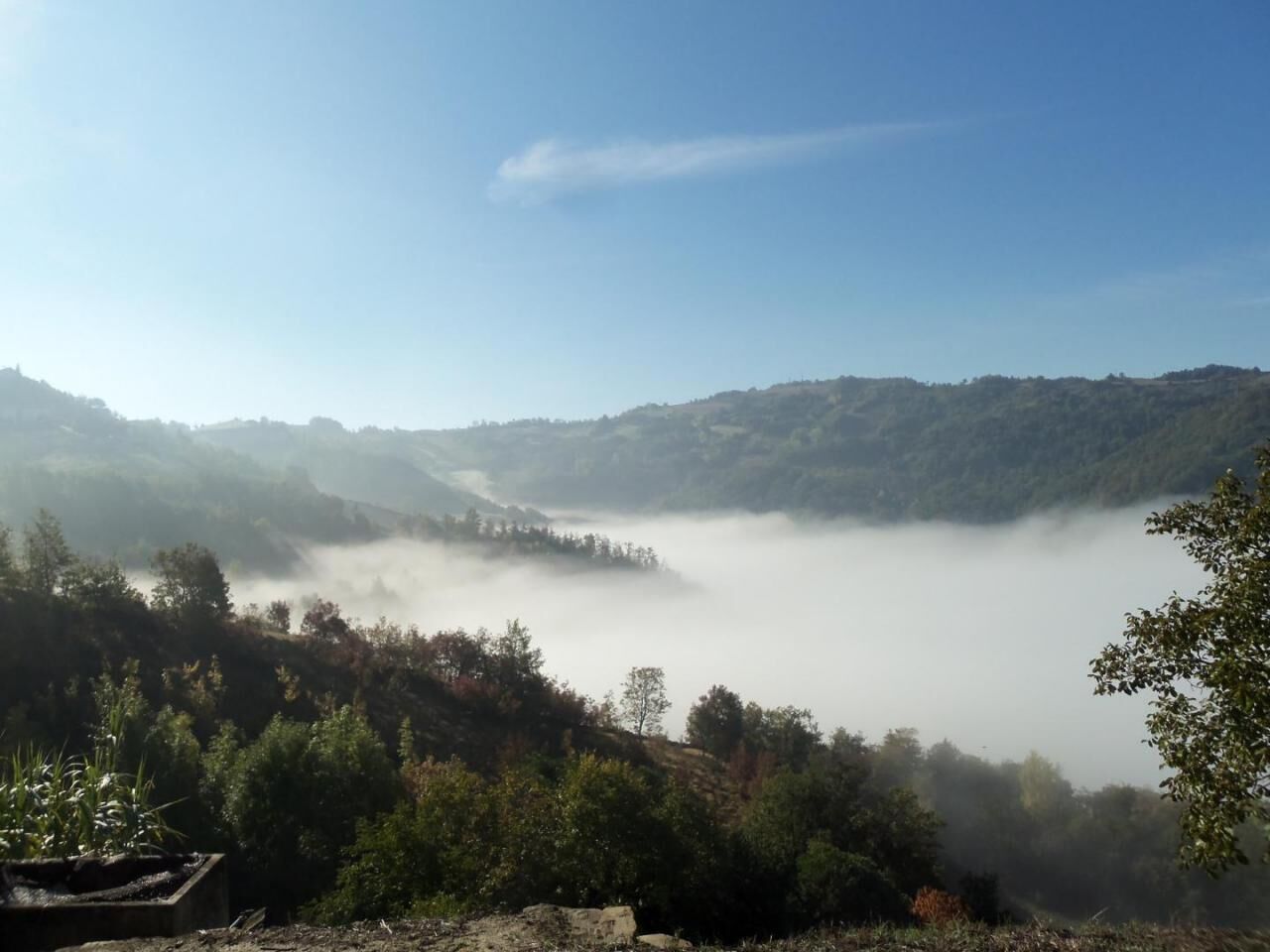
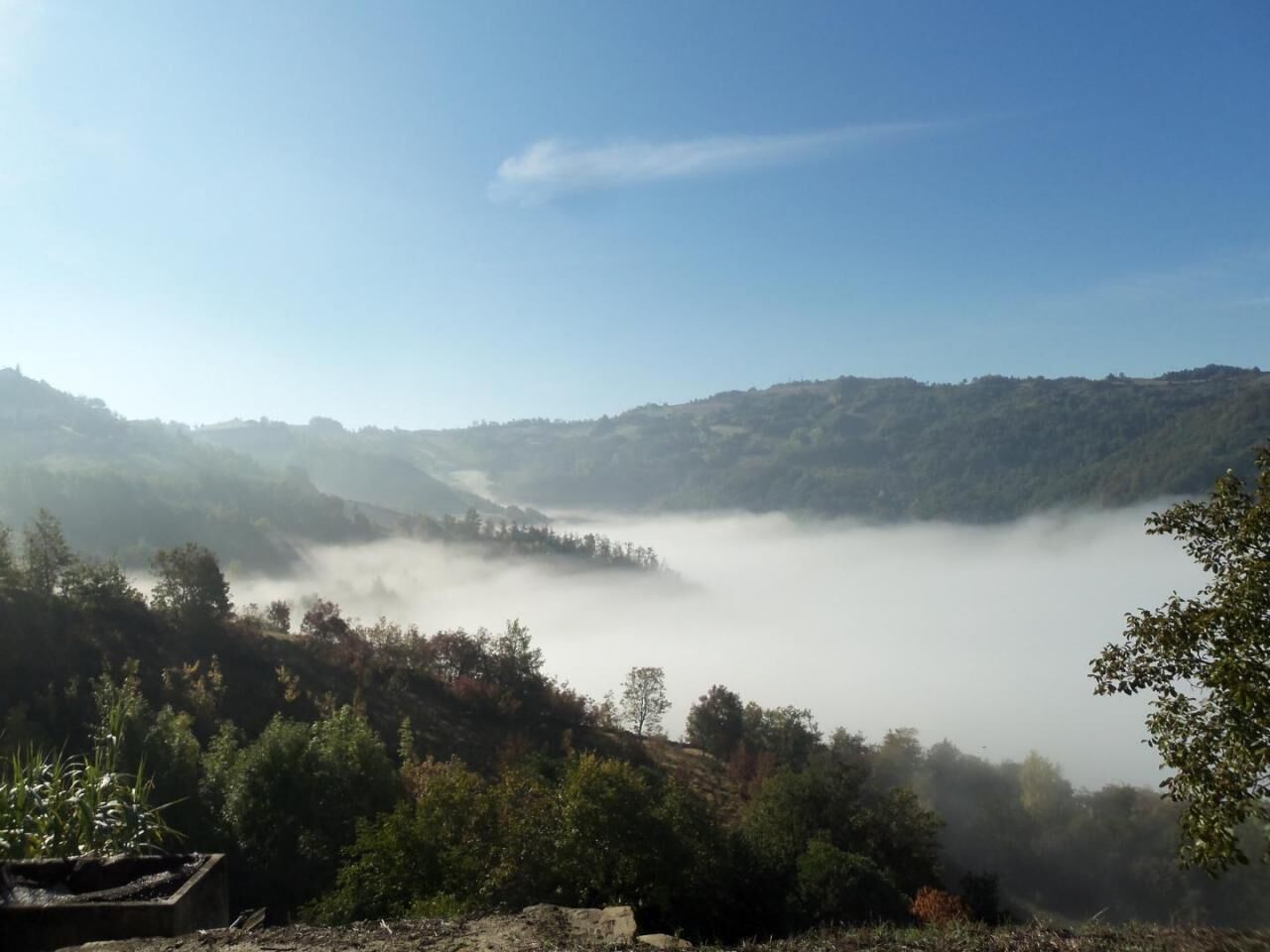
From the Montechiaro d'Acqui rest point you can descend to Montechiaro Piana, following Path 573 (Montechiaro Ring), and then go up on the left side of the Bormida di Spigno along Path 572 (Denice Ring) to the village of Denice, with the Church of San Lorenzo (and its splendid frescoes) and the medieval Tower (a panoramic point over the Bormida Valley and the towns that flank it with their towers, up to the towns that stand out over the Erro Valley), and from there to the connection with the Path 500 - Ring of the 5 Towers. If you instead take the SP in the direction of the town of Castelletto d'Erro, continue along the itinerary, then leave the SP at the crossroads with the SP for Cartosio and go up along a path up to Bric delle Forche (613 m) , panoramic point. A path halfway up the hill then leads to the country church of Sant'Anna, from here you can reach the center of Castelletto d'Erro (540 m), with its medieval tower, in a few minutes. From the town, a steep downhill path leads to Località Case Nuove and, continuing, reaches the SP which from Alessandria reaches Savona, connecting the towns of the Bormida di Spigno Valley. We return to the Church of Sant'Anna, to descend on the wide slope to the Castle and to the valley floor in the center of Ponti. Here you will find the Bolla hiking refuge and the Porta di Valle (Tourist information center for the trail itinerary). Along the historic Alessandria-Savona railway line, after 5 km. approximately you reach the center of Bistagno.


Tak
Popularne wycieczki w okolicy
-
5,0
Sentiero anello di Bistagno - Sentiero 500 in camminata
Trasa pielgrzymki 14,7 km -
5,0
IL GRANDE CAMMINO DEL MONFERRATO - 7°TAPPA: CANELLI - PONTI
ciężkiTrasa pielgrzymki 20,3 km -
Sentiero "Giro delle 5 Torri" - Sentiero 5T in mountain bike
Mountainbike 29,4 km -
Rundweg Montechiaro - Weg 573 mit dem Mountainbike
Mountainbike 30,9 km -
Sentiero anello di Cimaferle - Sentiero 534 in camminata
Trasa pielgrzymki 8,13 km -
Sentiero Cartosio - Ponzone - Sentiero 569 in camminata
Trasa pielgrzymki 6,83 km -
Sentiero anello di Cimaferle - Sentiero 534 in mountain bike
Mountainbike 8,13 km -
Sentiero anello di Merana - Sentiero 575 in camminata
Trasa pielgrzymki 10,5 km -
Rundwanderweg Montechiaro - Weg 573 zum Wandern
Trasa pielgrzymki 30,8 km -
Sentiero delle Chiese Campestri - Sentiero 571 in camminata
Trasa pielgrzymki 21,5 km
Wędrówki i tropienie


Nie przegap ofert i inspiracji na następne wakacje
Twój adres e-mail została dodana do listy mailingowej.





