


Vääksy-Padasjoki 36km


On this nicely easy route from Vääksy to Padasjoki, you can head for example to Lehmonkärki, which is known for its title as one of Finland's most amazing tourist destinations!

From the centre of Vääksy, drive towards Asikkala village and Pulkkila. However, the route does not take you all the way to Pulkkilanharju, but of course a brisk cyclist will make a nice stop there.
From Pulkkila, head towards Lehmonkärki, which is known as one of Finland's most spectacular tourist destinations. After Lehmonkärki, the route heads from Myllyksselkä to Highway 24 (old quadruple road), which is driven for about five kilometres.
If your bike works on gravel and dirt roads, you can also use Joenniementie and Mukulintie towards the north, starting at Myllykselä. This is part of a nicely winding gravel road. All in all, the option offers nice country views and lake views. This road meets the Häntämäentie drawn on the route after about 8 kilometers.
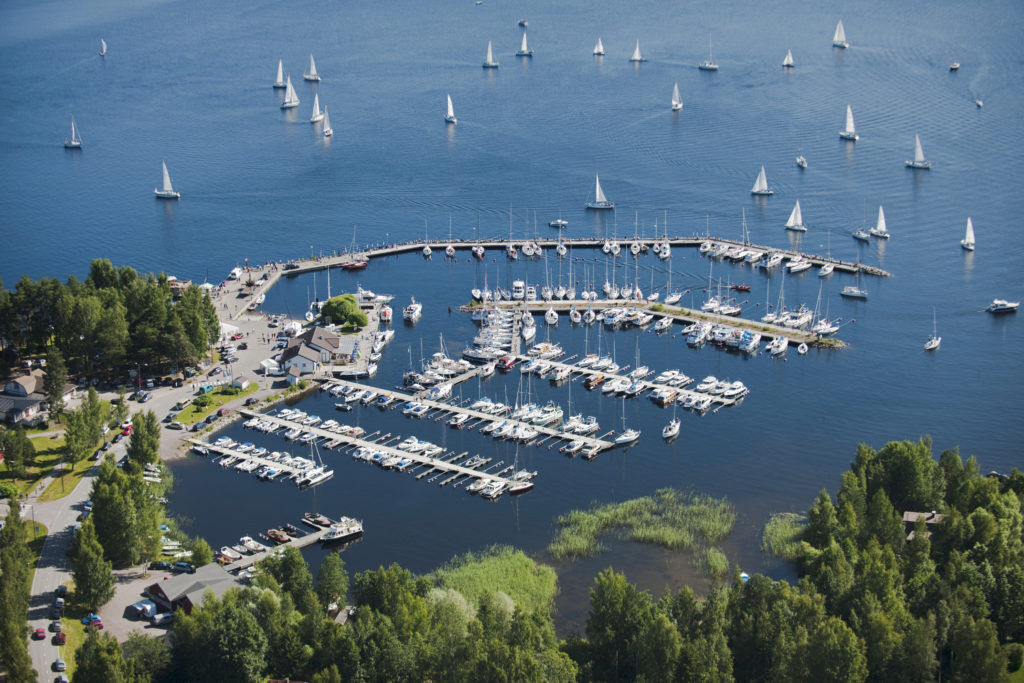
In accordance with the gpx track, the route returns to the peace of the countryside Maakeskinraitti, which is driven towards the village of Nyystölä. This section is a very nice winding and rolling country road. Päijänne will be nicely visible in the Harila landscape. The distance from Nyystölä to the destination is a few kilometers and the route ends at the port of Padasjoki.
As a rule, the route is not so-called loop but a line shape / point to point. So take this into account when designing the route!
Popularne wycieczki w okolicy
Kansallispuistomelonta Kelventeelle, Padasjoki
średniKajak / Canoe30,0 kmAurinko-Ilves trail, Asikkala
średnidługodystansowy szlak pieszy30,6 kmVesijärveä Hollolasta Asikkalaan
średniKajak / Canoe22,9 kmPikkujärviseikkailu, Padasjoki
średniKajak / Canoe9,11 kmRadwanderung auf dem Eiszeitweg von Asikkala
średniJazda na rowerze78,8 kmAurinko-Ilves MTB, Asikkala
średniMountainbike30,5 kmKelvenne ridge trail, Padasjoki
średniWędrówka9,40 kmVarjansaaren kierto, Asikkala
światłoKajak / Canoe8,80 kmPulkkilanharju Trail, Päijänne National Park, Asikkala
światłoTrasa tematyczna2,35 kmMyllytonttu Nature Trail, Vääksy
światłoTrasa tematyczna0,43 km
Wędrówki i tropienie


Nie przegap ofert i inspiracji na następne wakacje
Twój adres e-mail została dodana do listy mailingowej.