


Winter hike Hemberg - Matt - Fuchslöcheren - Hemberg
Poziom trudności: 3
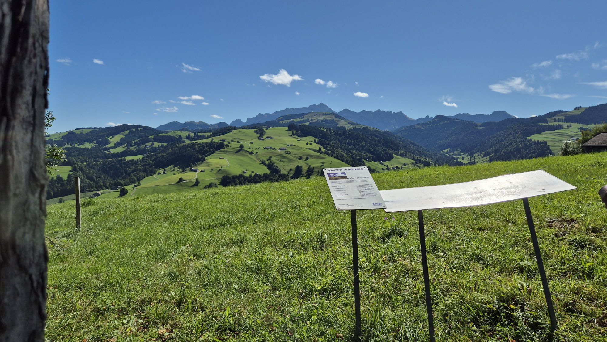
A winter hike past a goat farm, through the Rohrtobelwald to the picturesque Bad. Explore Hemberg via Matt with an experience-rich view in which part of the Kneipp teaching is also presented.
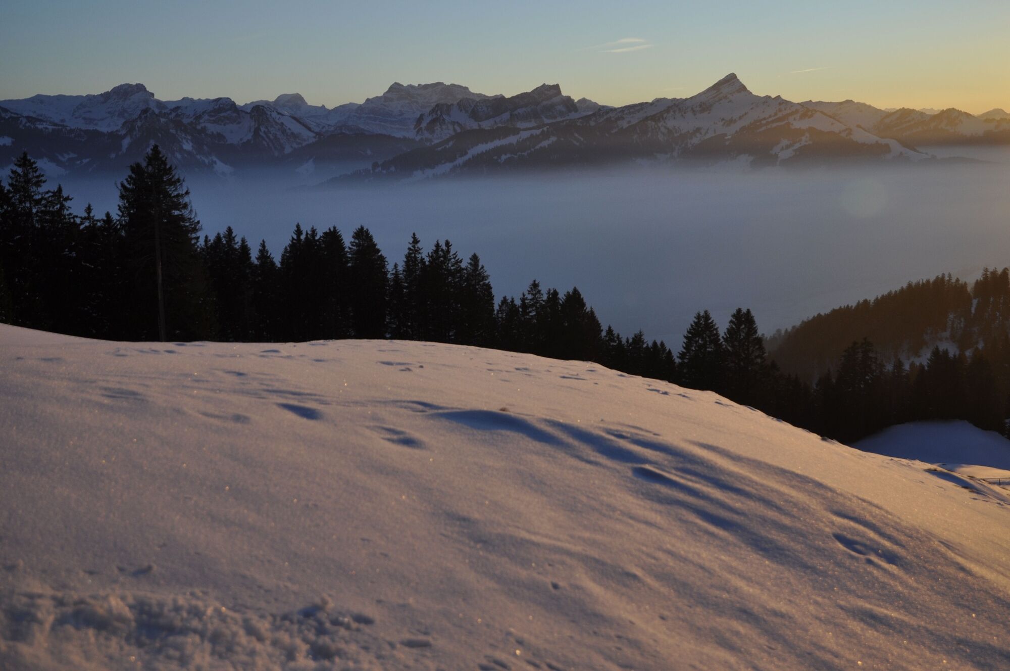

First, follow the main street from the village center towards Wattwil. Soon on the right is the first farm with a farm shop. After crossing the bridge over the Rohrtobelwald, the path turns left. The path continues uphill until Matt is reached and Hemberg appears again in its full splendor with the mighty Säntis massif shining. Slightly downhill and comfortably follow the signs towards Bad. The bathing lake behind the guesthouse Bad is worth a small detour.
Then the path leads back to the village of Hemberg, along the Kneipp path, past the orchard until the village center near the church is reached again.
Please note that part of the path runs along the road.
Tak
Day hiking backpack (approx. 20 liters) with rain cover, comfortable and waterproof winter shoes or sturdy hiking boots, possibly crampons and gaiters, warm and weatherproof clothing in layered principle, hat/headband, scarf, gloves, sun and rain protection, provisions and drinking water, thermos with hot drink, first aid kit, pocket knife, mobile phone, possibly headlamp, map material, possibly telescopic poles
Follow the marked path. Especially at the beginning and end of the route, the path runs along the road.
Hemberg is reached via Wattwil through Heiterswil. From Wil via Lütisburg, Ganterschwil, Necker, and St. Peterzell. Also via Herisau, Schönengrund, Bächli to Hemberg.
By train to Wattwil station and then by bus to Hemberg.
There are only limited parking options in Hemberg. We recommend arriving by public transport.
3
At the Hemberg tourist office in the middle of the village, detailed route maps for all paths in Hemberg and Bächli are available. You can also order them via Toggenburg Tourism or the Hemberg tourist office.
Toggenburg Tourism
Hauptstrasse 104
9658 Wildhaus
+41 71 999 99 11
Help yourself to the goat products at the farm shop – located right at the beginning of the route towards Wattwil. The first farm on the right.
Kamery internetowe z trasy
Popularne wycieczki w okolicy
-
4,6
Schwägalp - Berggasthaus Tierwies - Girenspitz - Säntis
ciężkiWędrówka 4,83 km -
4,6
Amden - Speer (Rundkurs)
światłoWędrówka 17,6 km -
4,8
Mountain route over Rotsteinpass to Säntis
ciężkiWędrówka 8,53 km -
4,6
Säntis
średniWycieczki górskie 17,5 km -
4,7
Jakobsbad - Berggasthaus Kronberg und Bergstation - Kronberg - Restaurant Scheidegg
średniWędrówka 12,0 km -
4,9
Kronberg - Schwaegalp
światłoWędrówka 5,90 km -
5,0
Ski tour on the Selun
ciężkiWycieczka narciarska 11,8 km -
4,7
Winterwanderung Jakobsbad - Kronberg
średniWędrówka zimą 7,69 km -
Mountain route over the Tierwis to the Säntis
ciężkiWędrówka 8,20 km -
5,0
Chatzenloch hike with suspension bridge
światłoWędrówka 5,91 km
Wędrówki i tropienie


Nie przegap ofert i inspiracji na następne wakacje
Twój adres e-mail została dodana do listy mailingowej.