







12th National Hiking Day: Hike 3 - Thermal Water Hike Tamina Valley
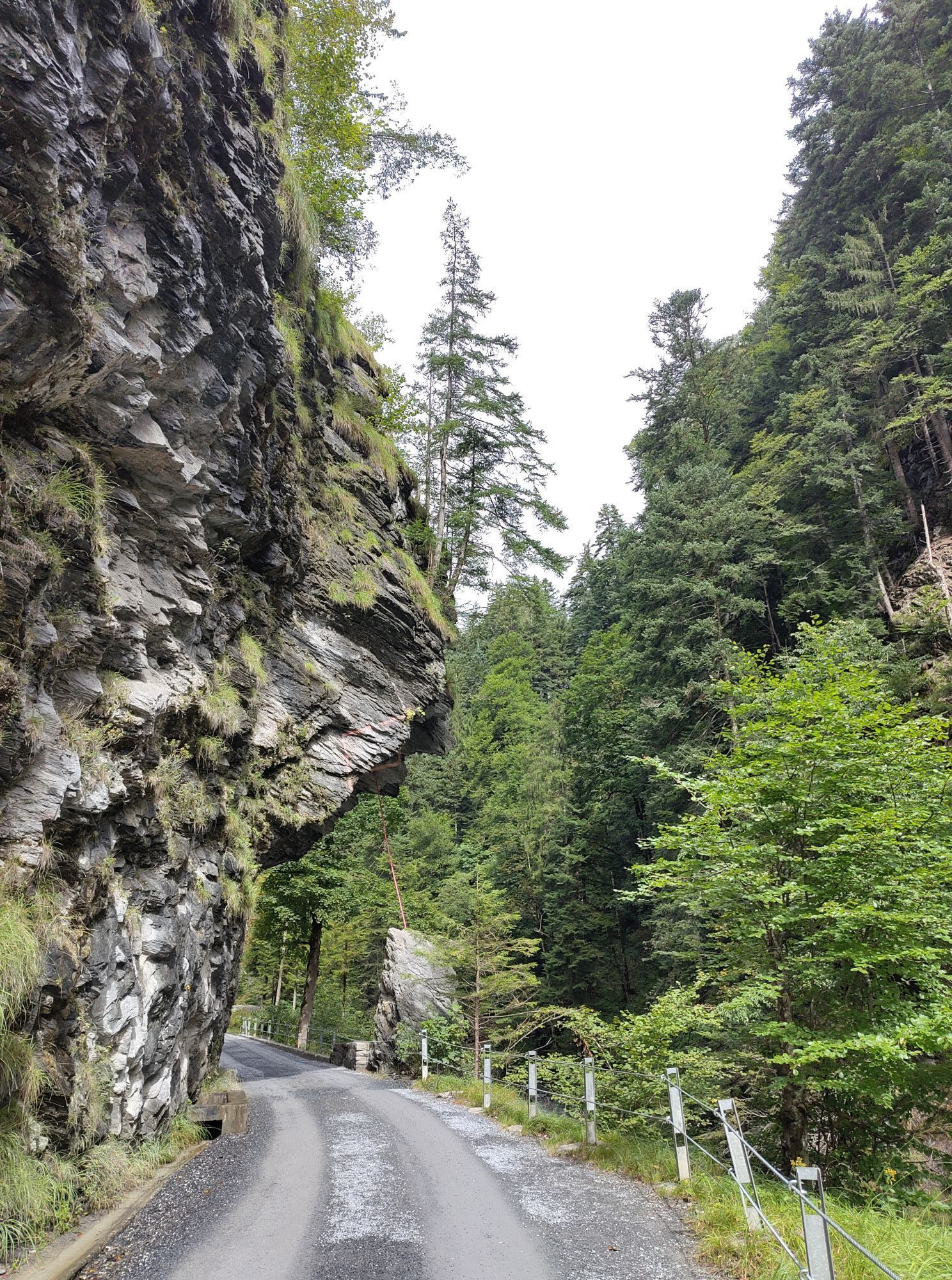
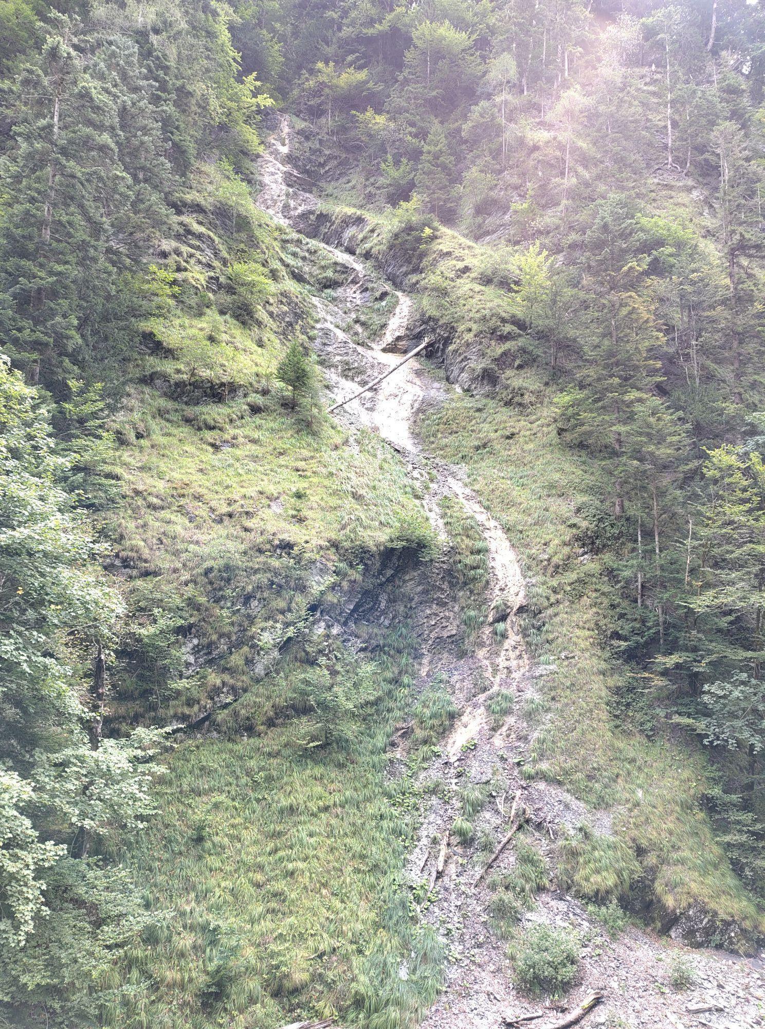
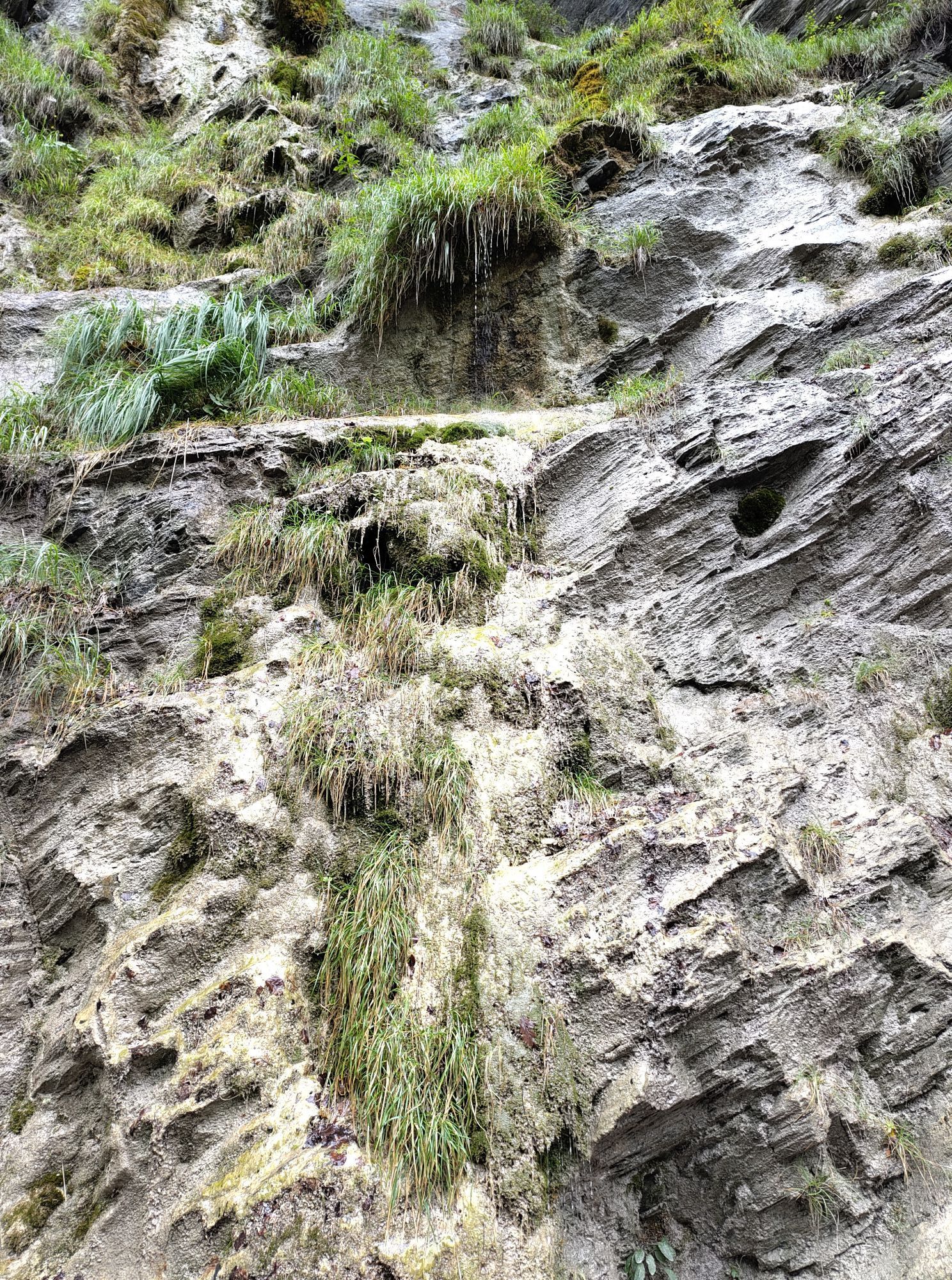
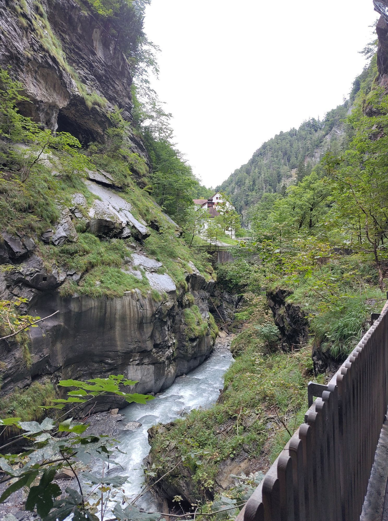
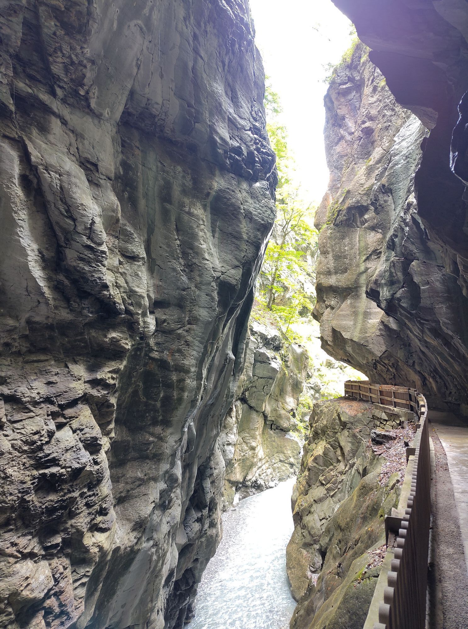
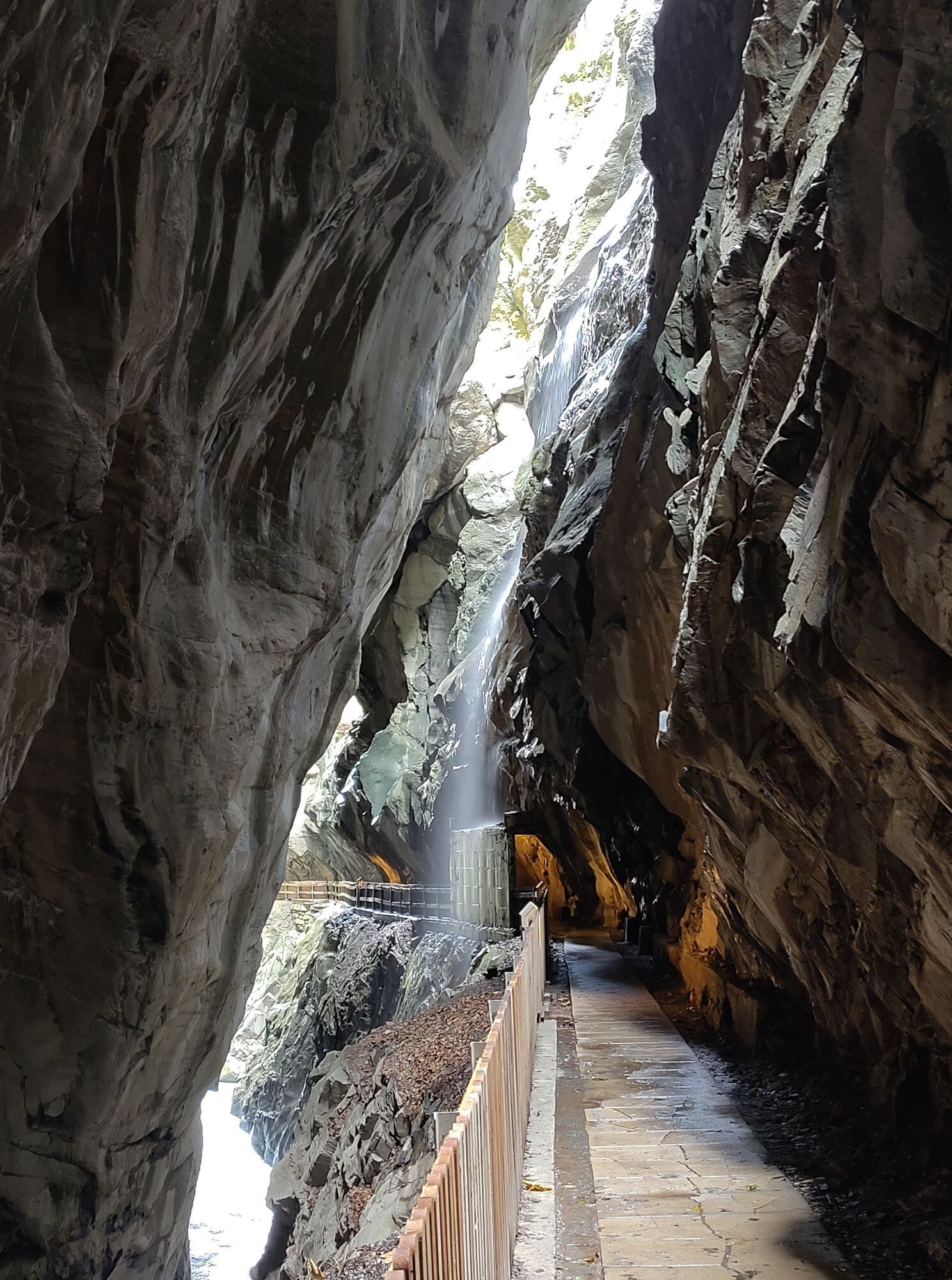
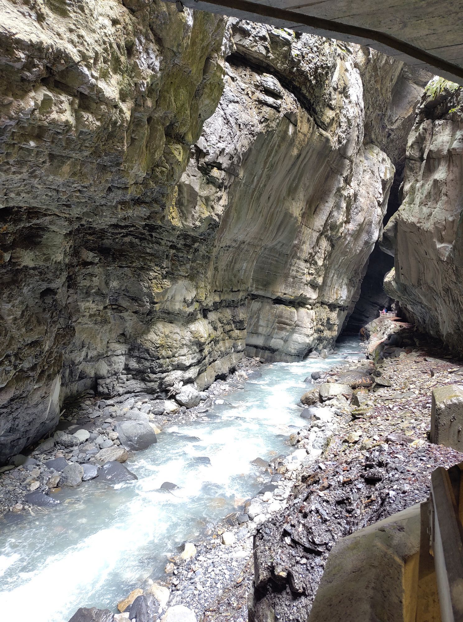
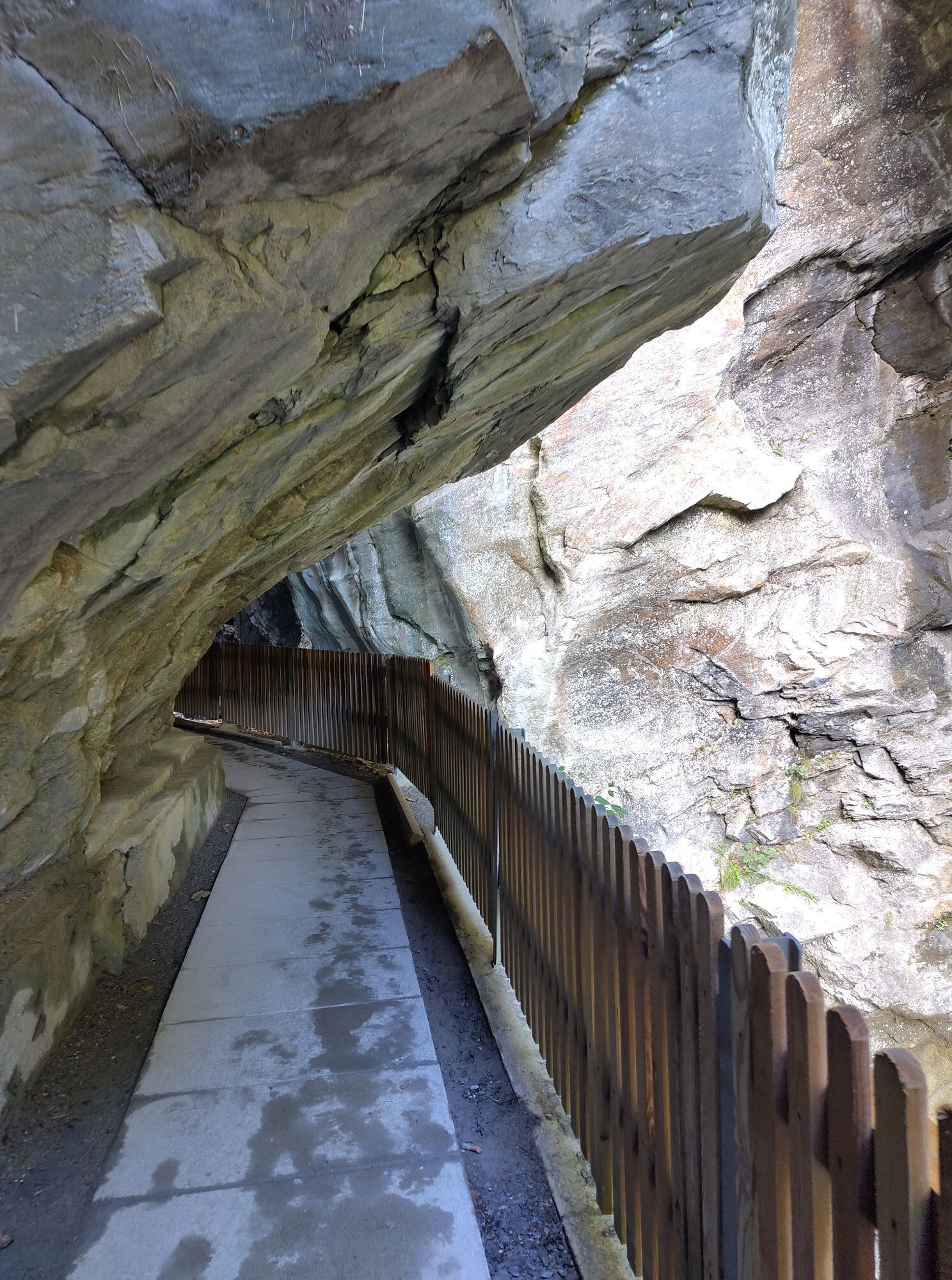
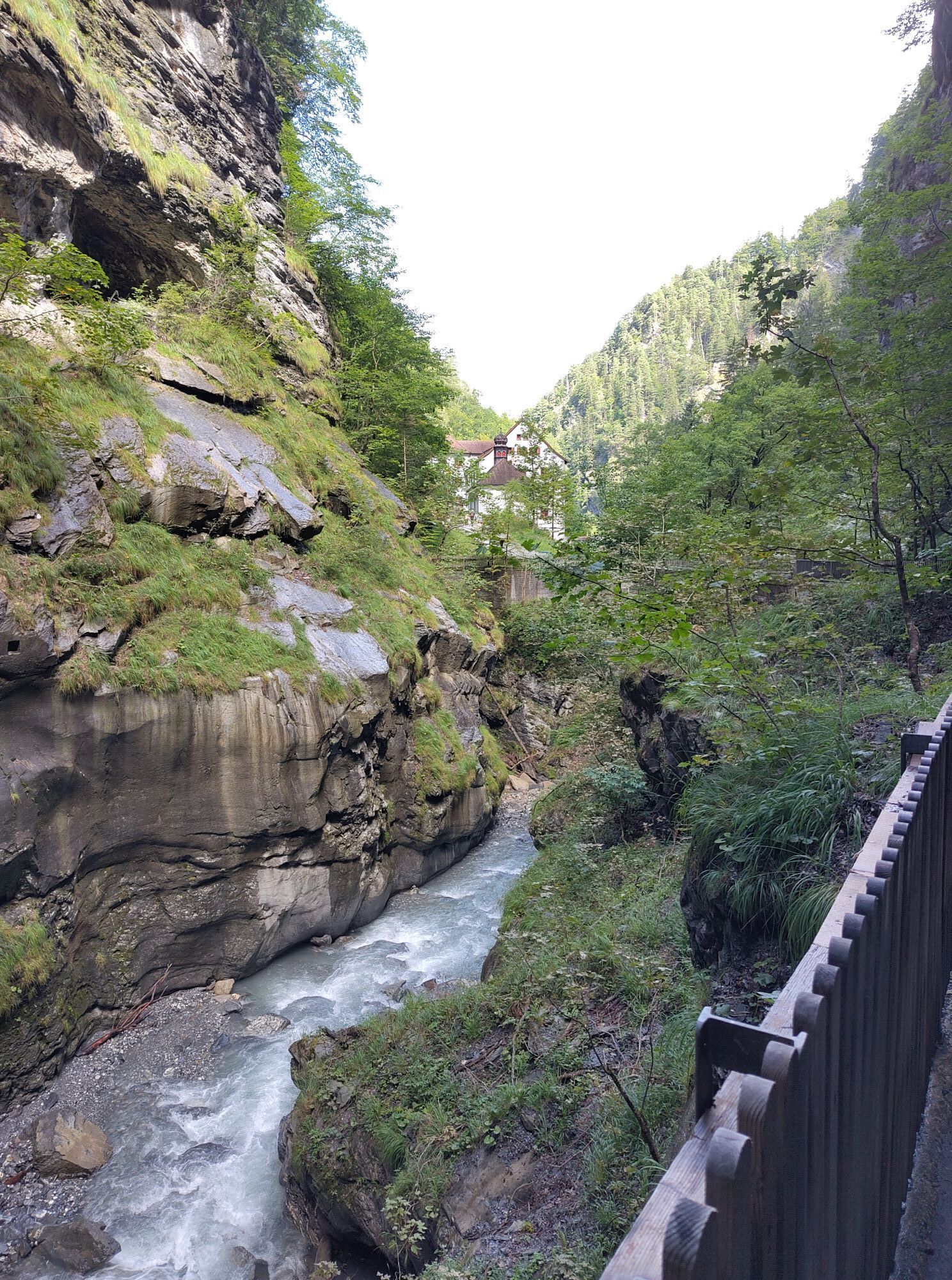
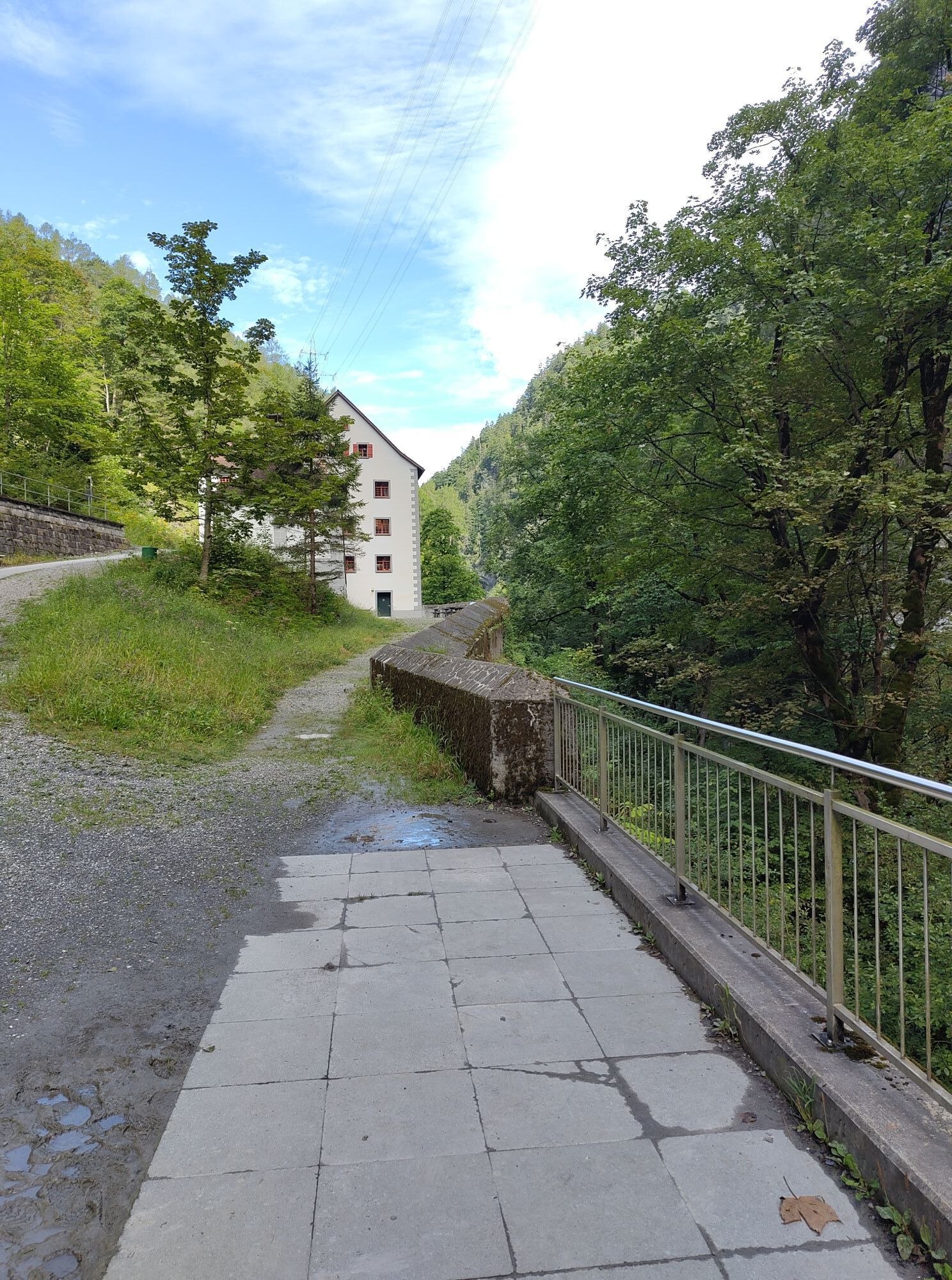
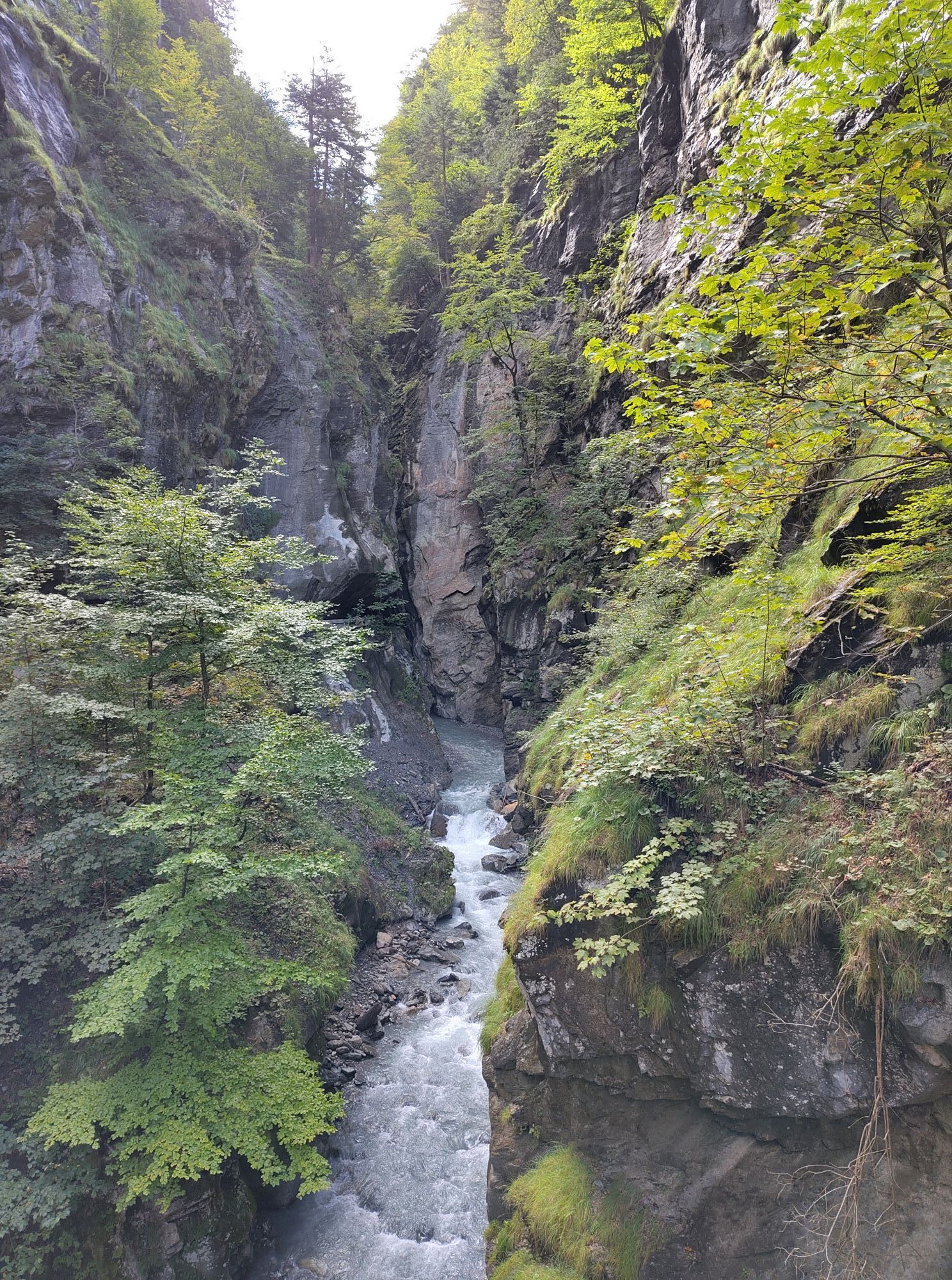
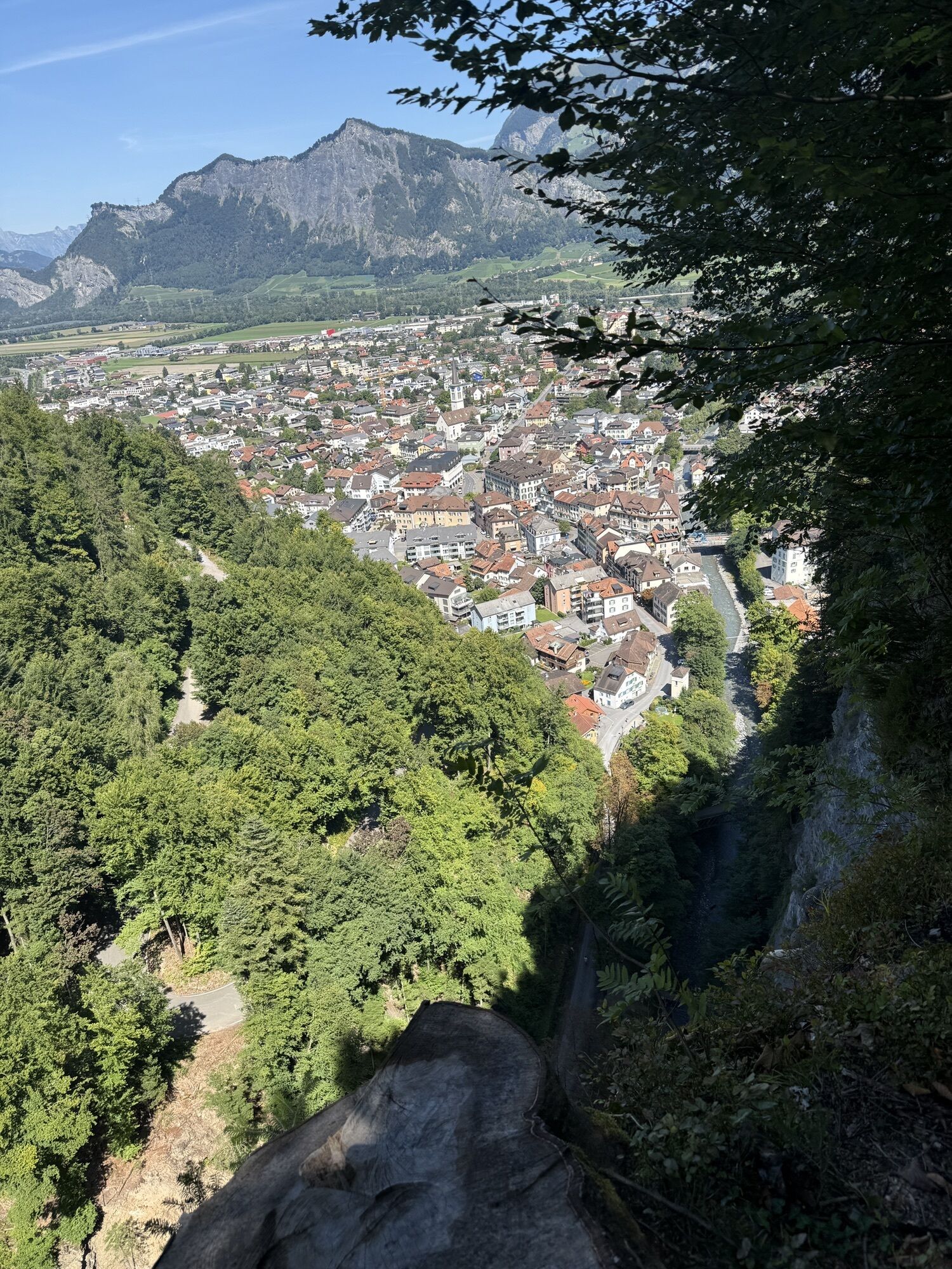
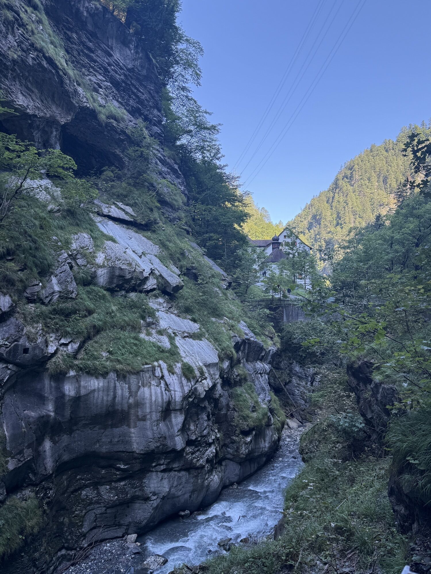
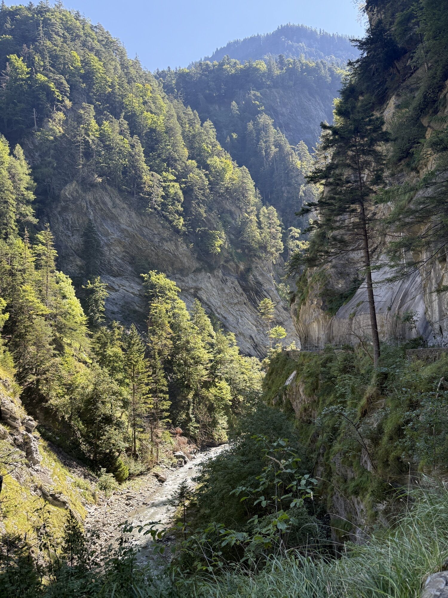
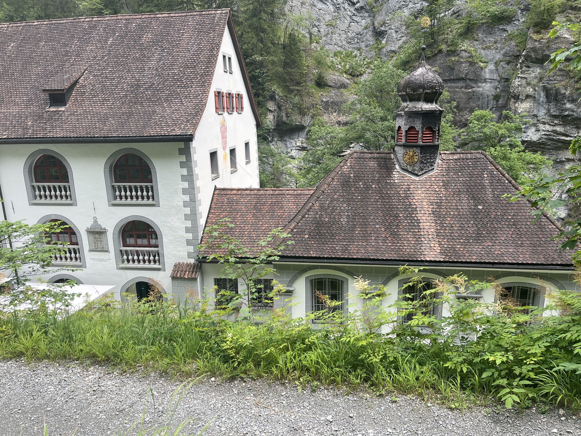
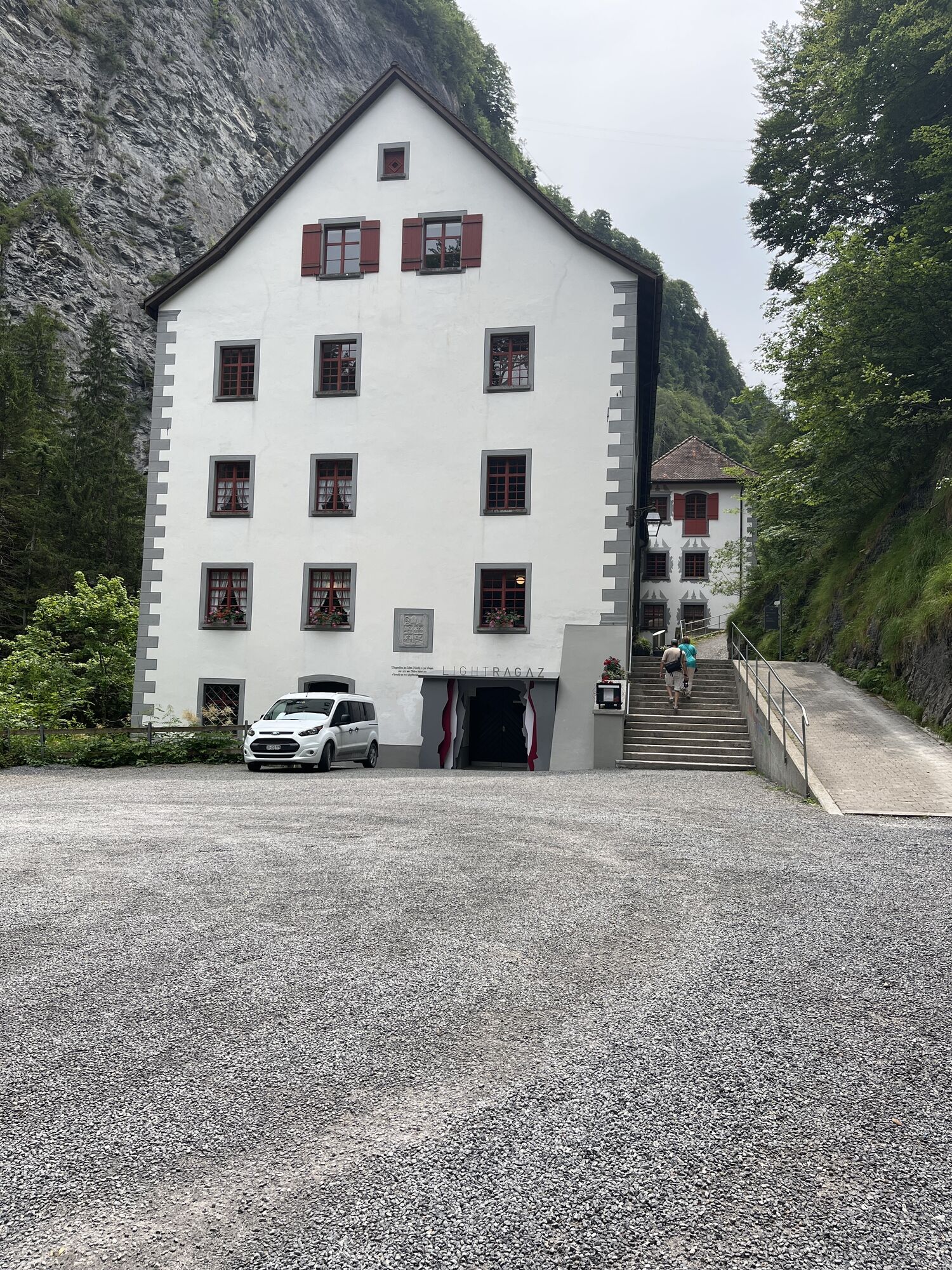
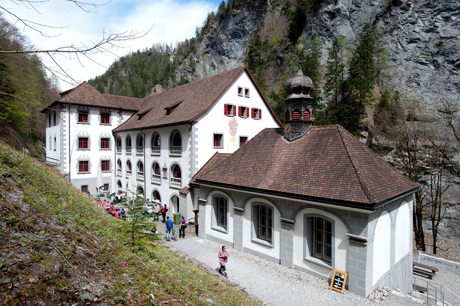
From the festival ground in Bad Ragaz, the path leads directly to the Old Bath Pfäfers in one hour. The oldest preserved Baroque bath in Switzerland, it is today a nature and cultural oasis with supraregional...
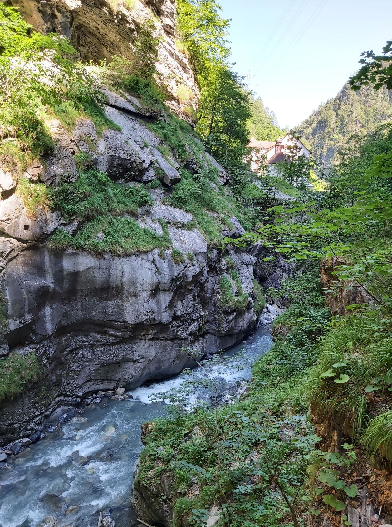
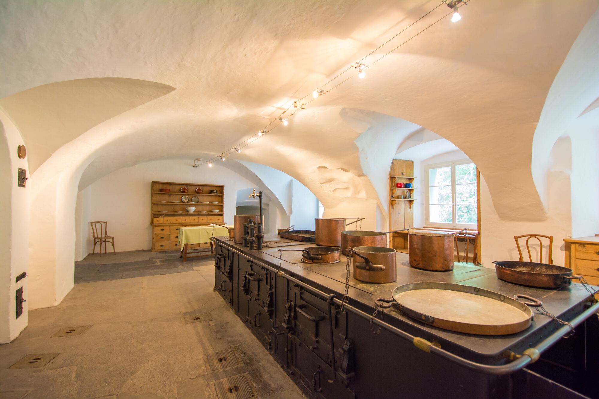
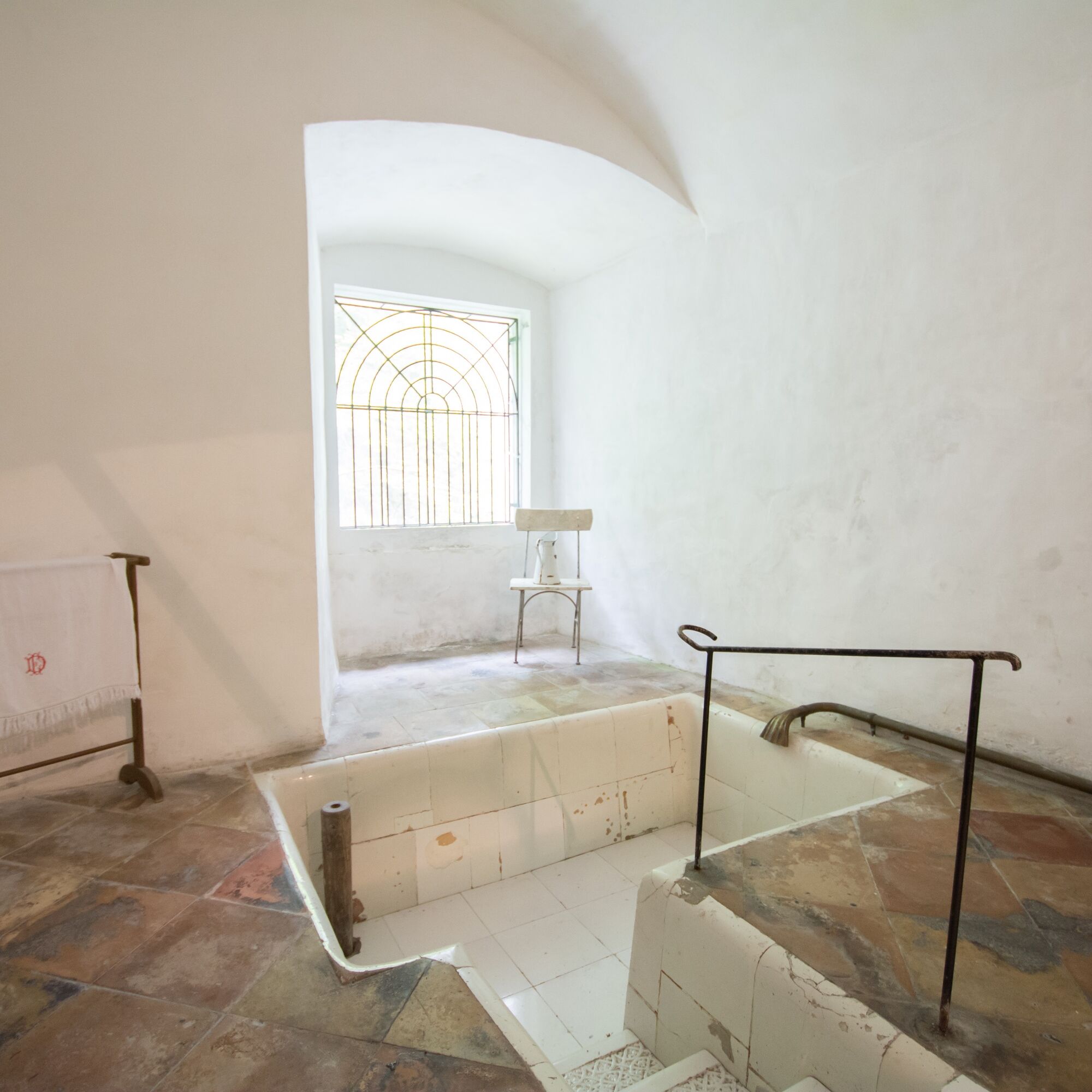
From the festival ground in Bad Ragaz, the path leads directly to the Old Bath Pfäfers in one hour. The oldest preserved Baroque bath in Switzerland, it is today a nature and cultural oasis with supraregional impact. Inside are 2 museums, the Paracelsus memorial site, and a restaurant. During a one-hour break, try Taminatal specialties or enjoy a delicious sausage from the grill.
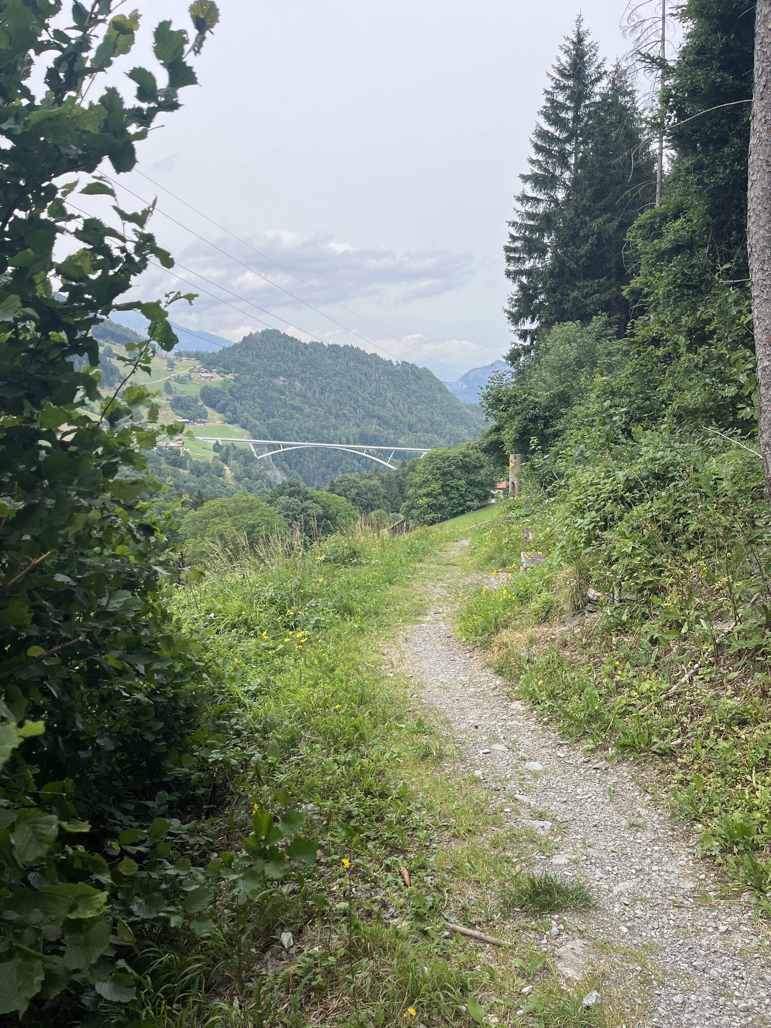
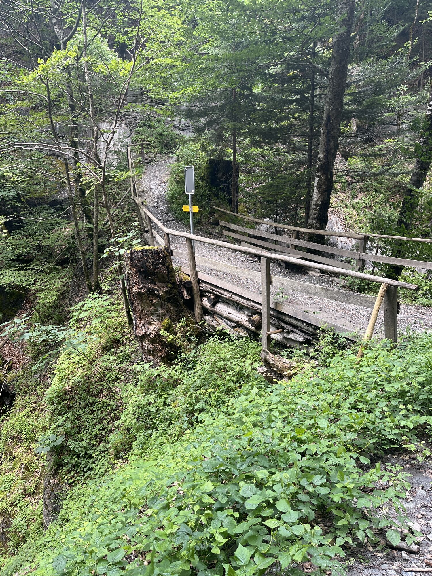
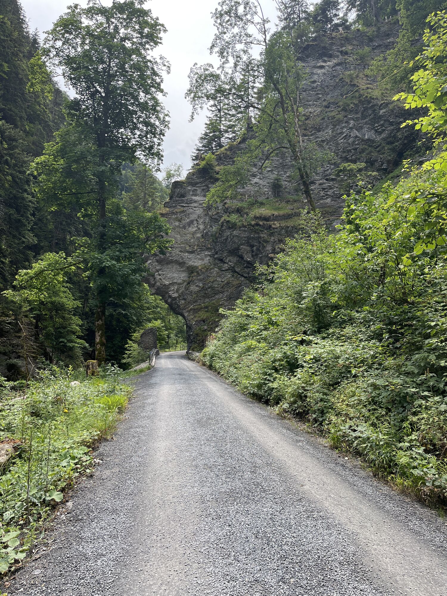
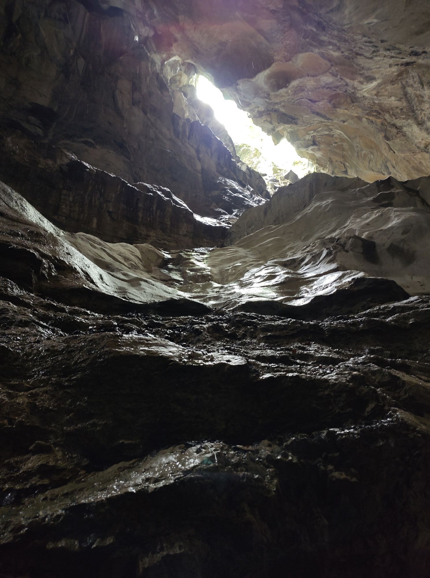
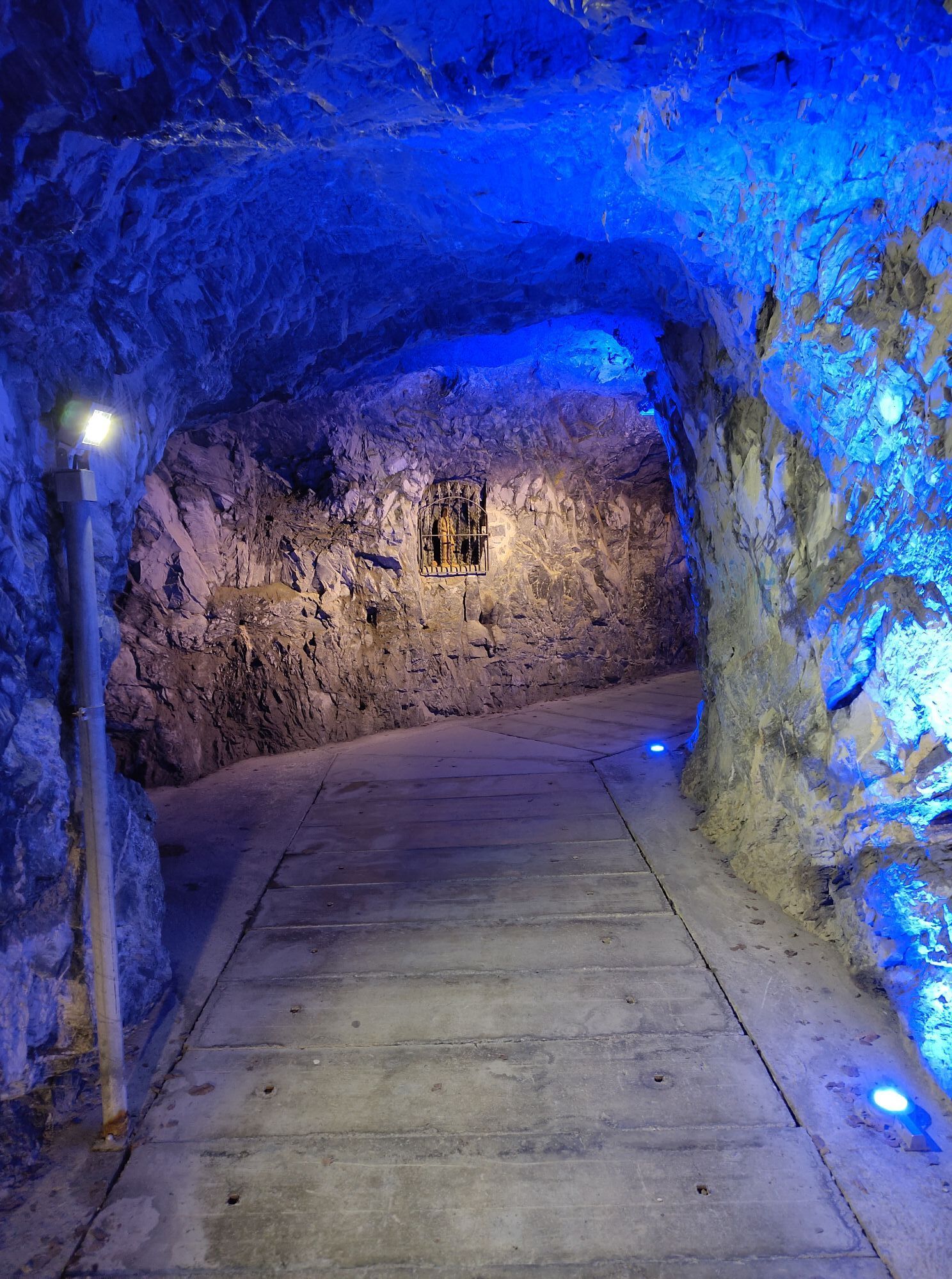
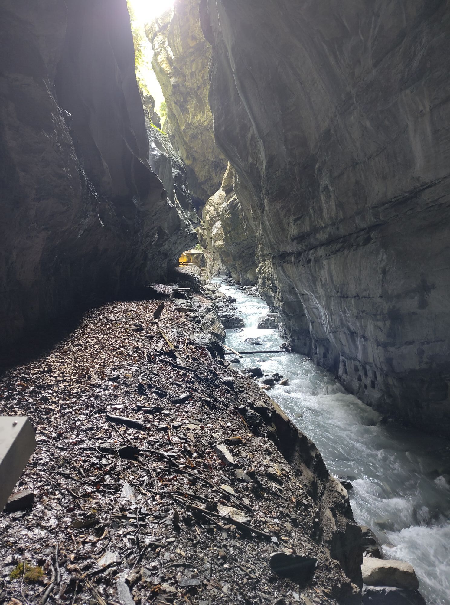
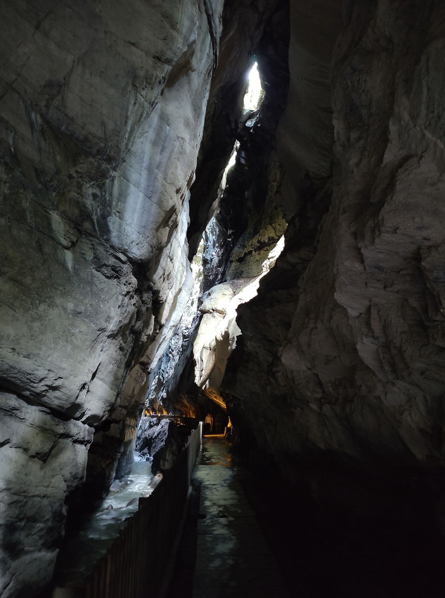
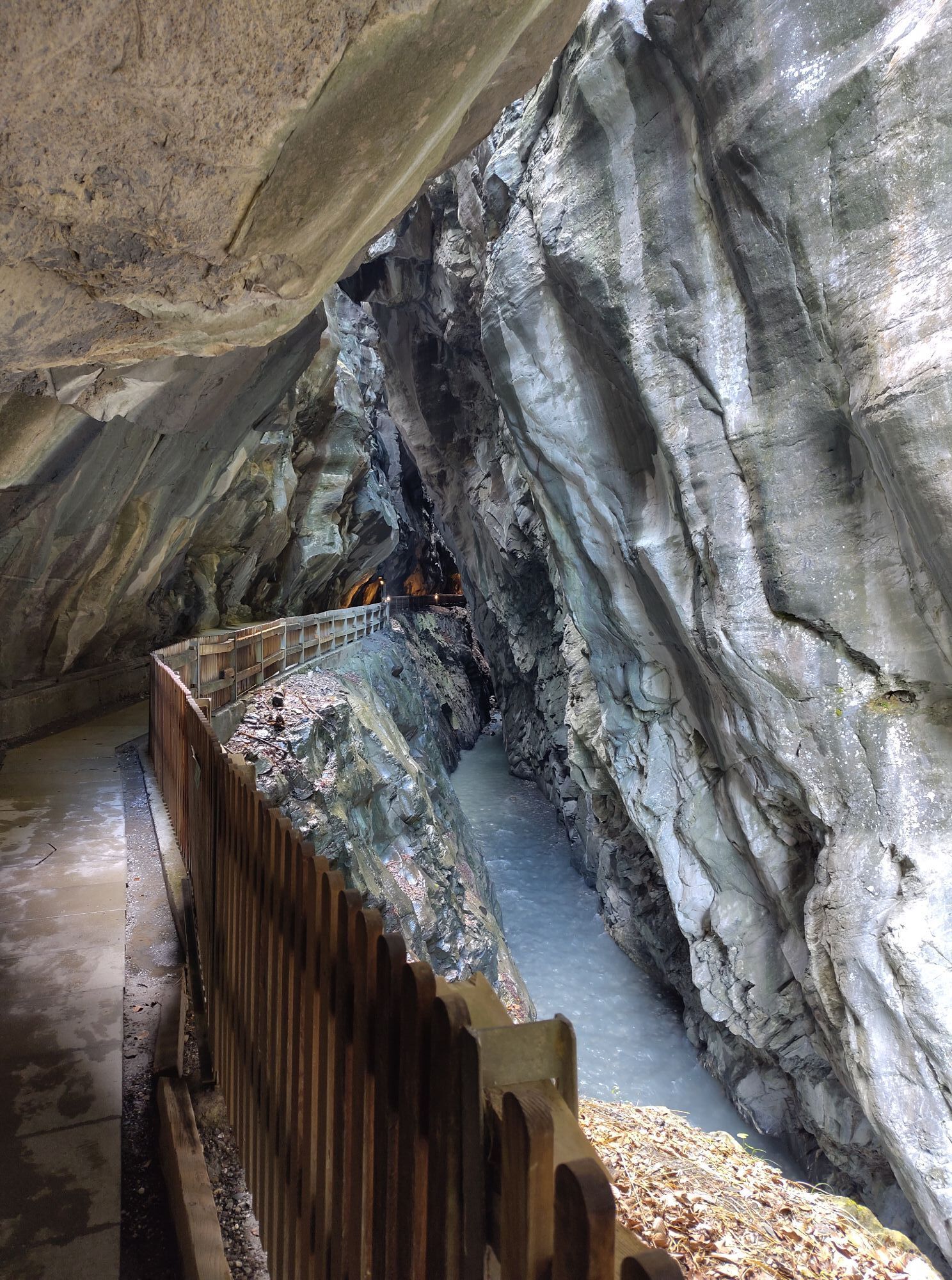
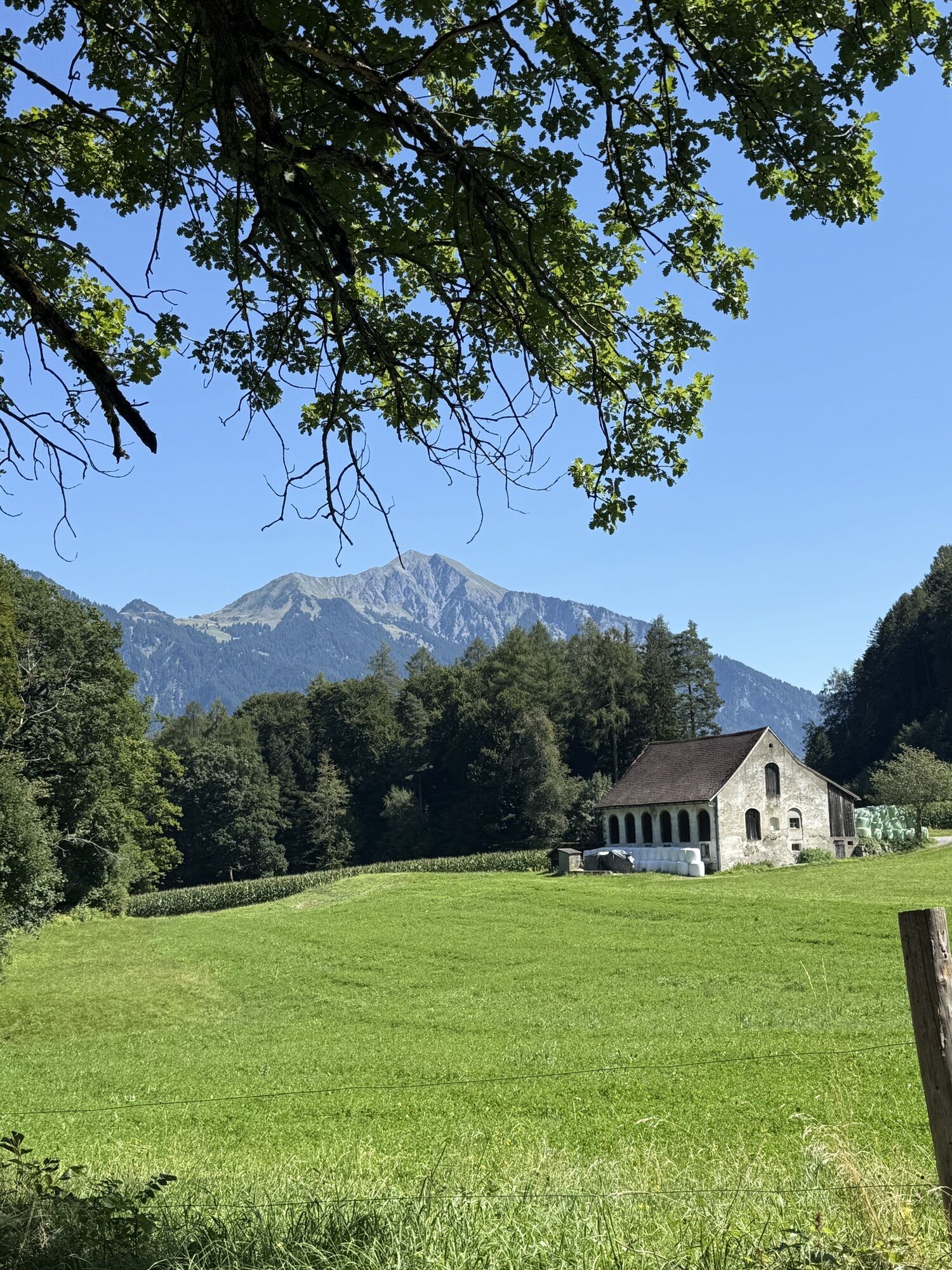
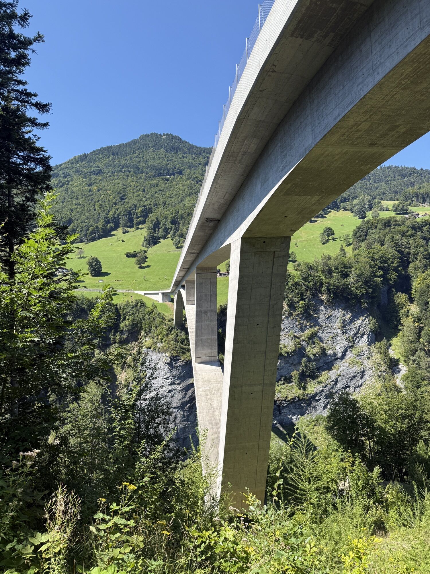
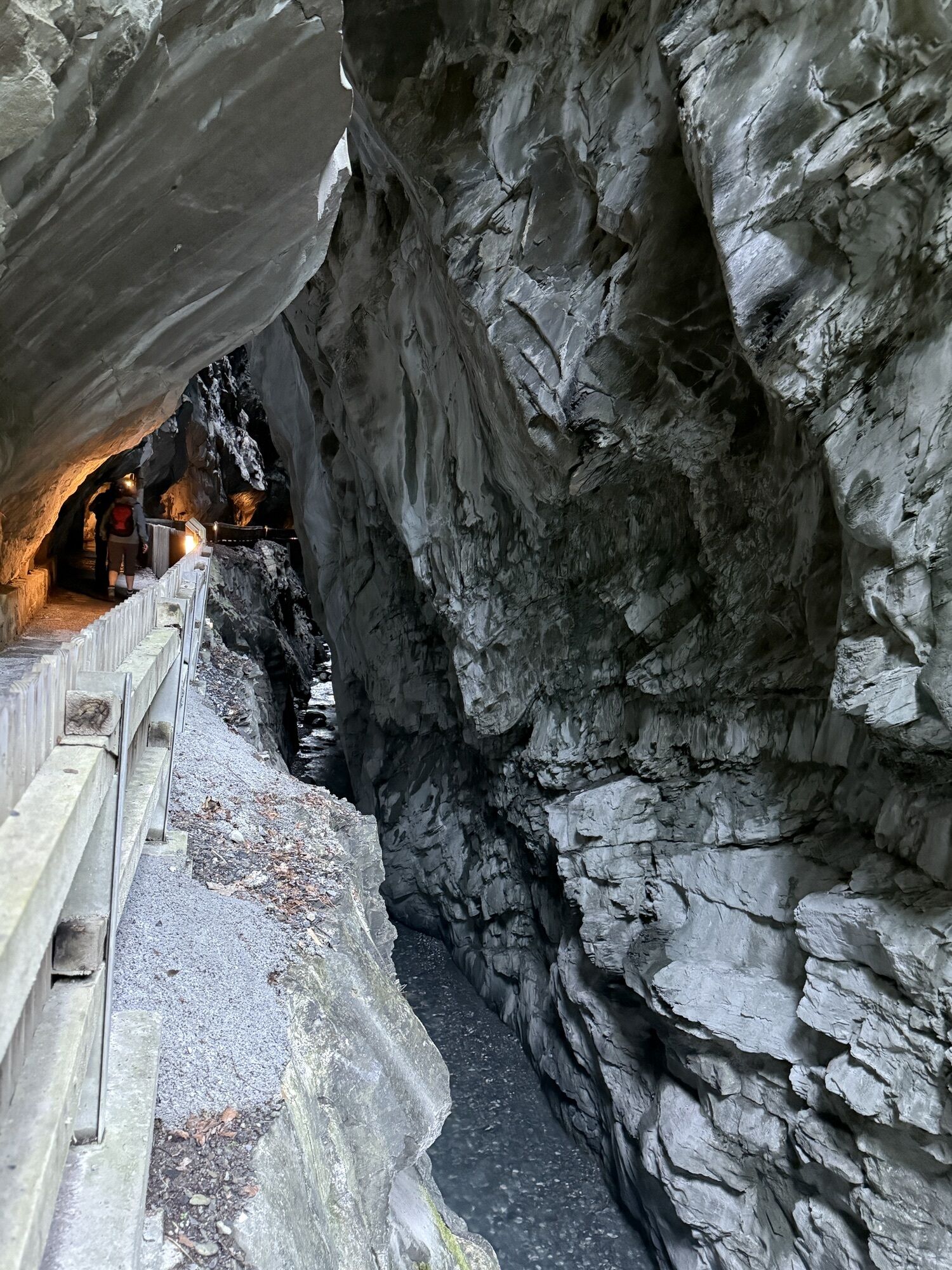
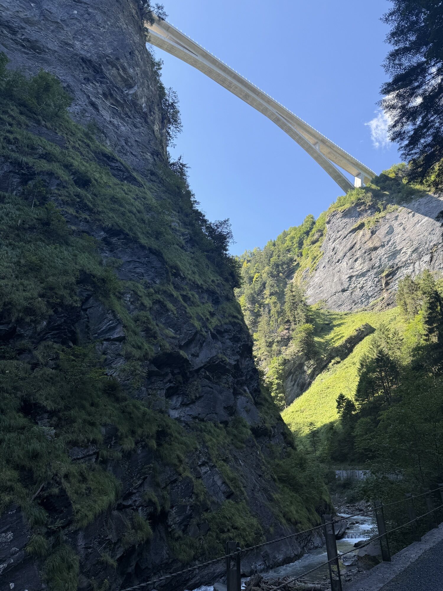
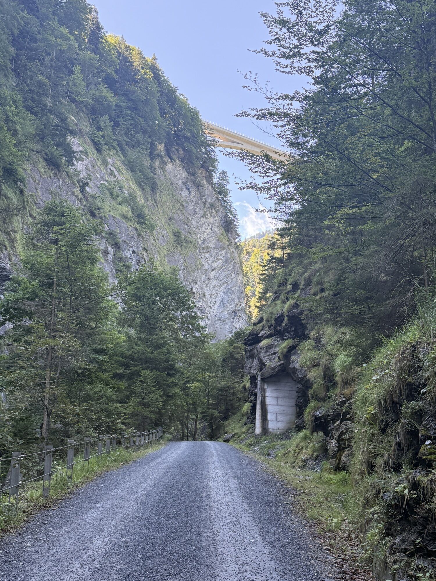
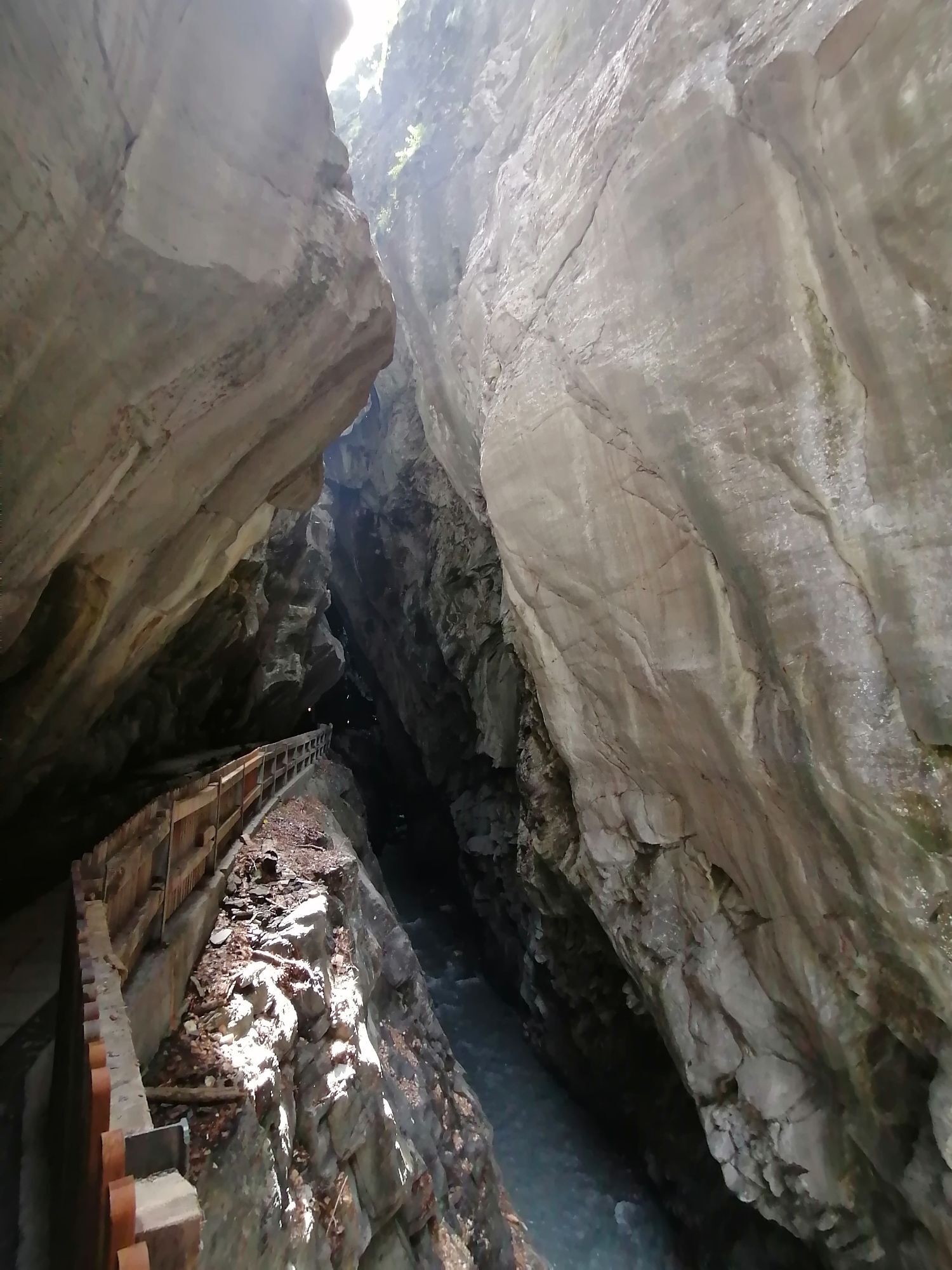
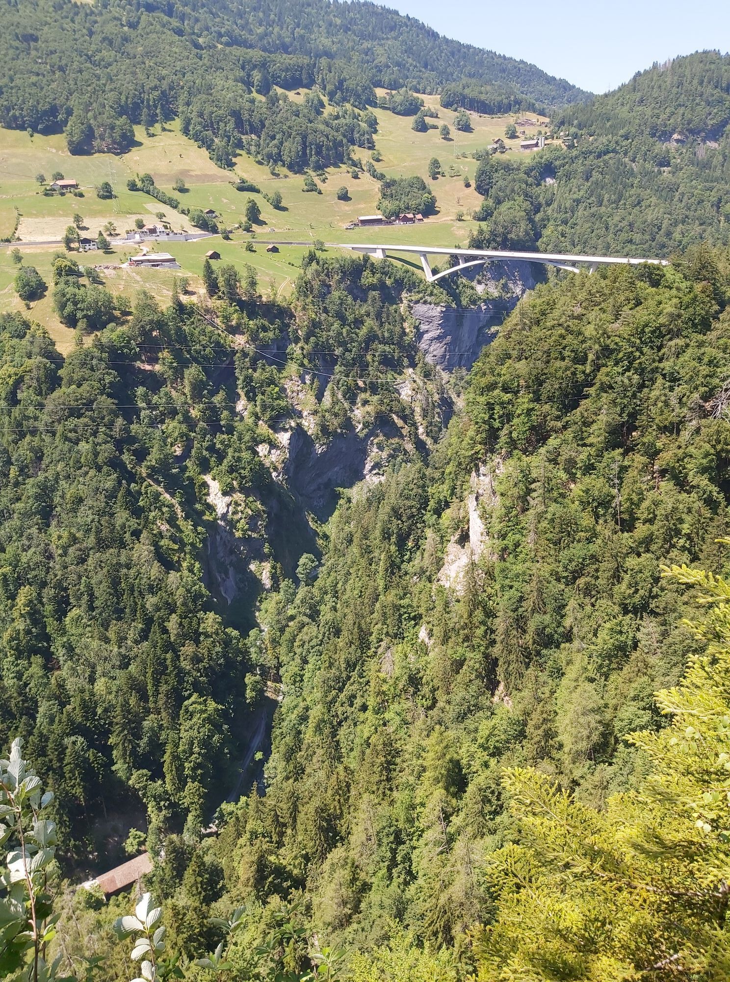
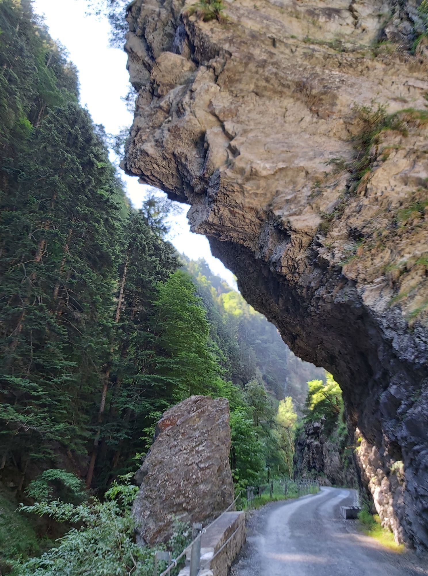
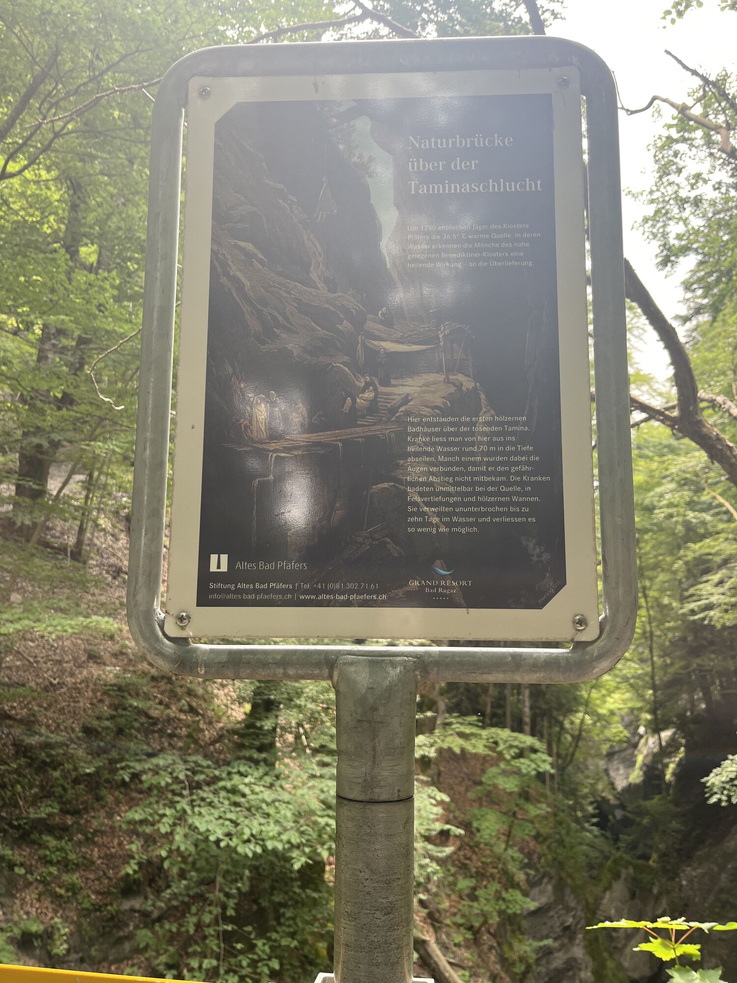
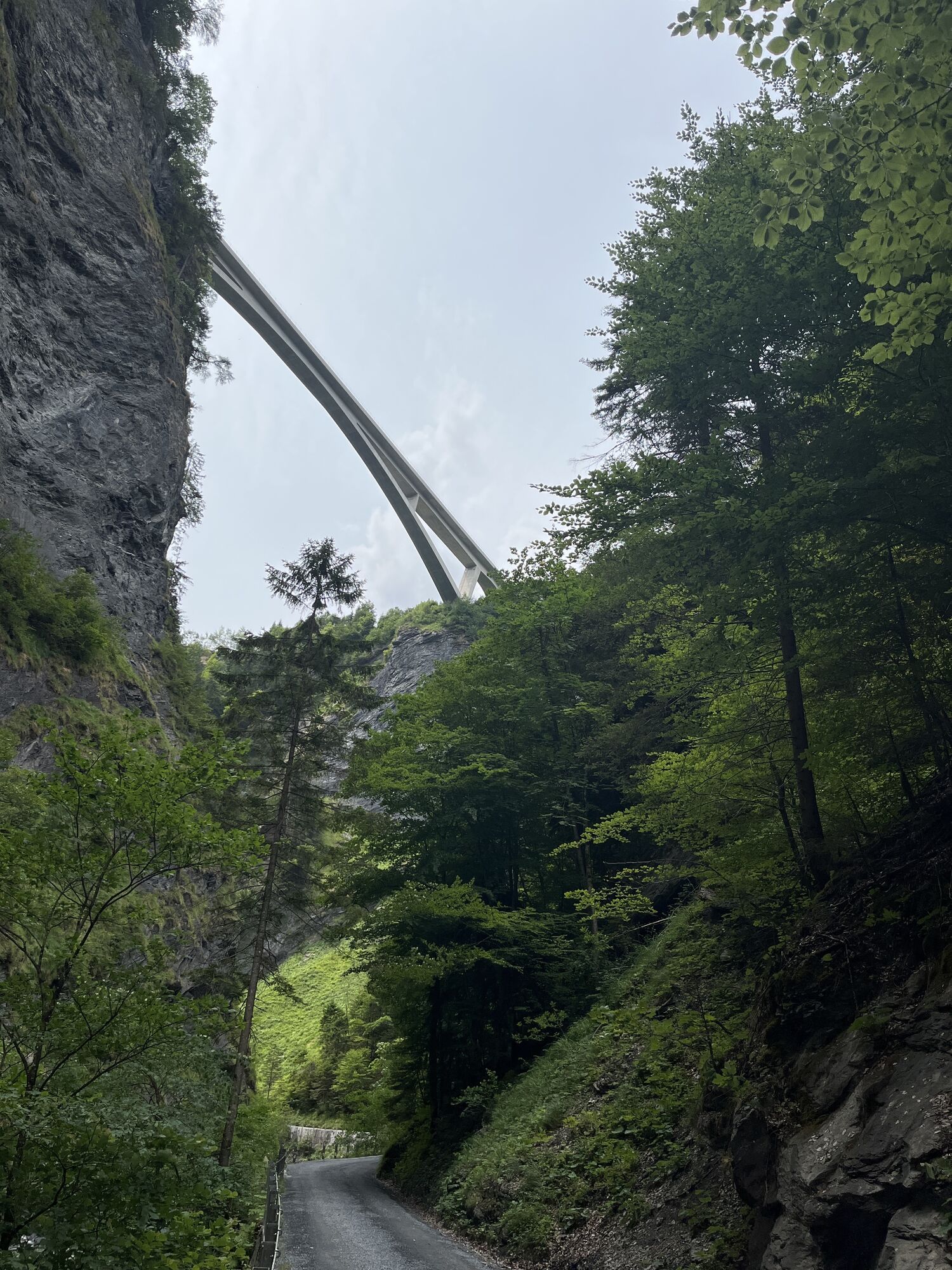
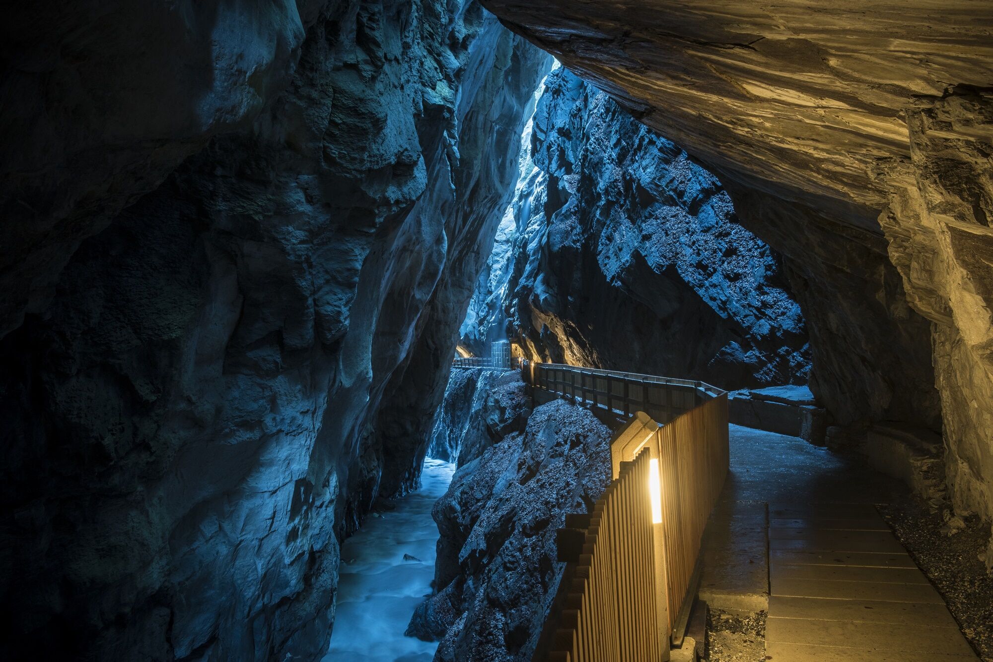
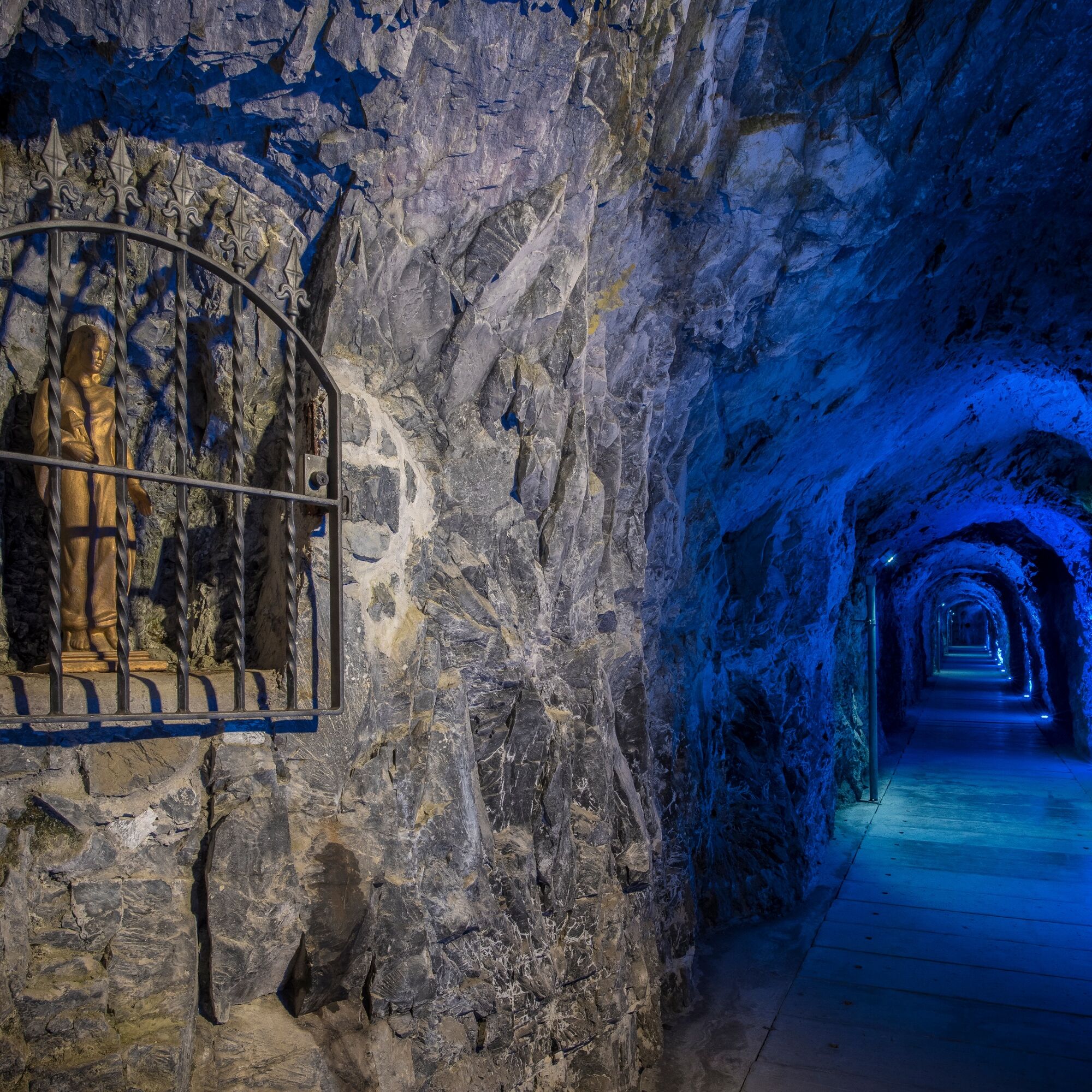
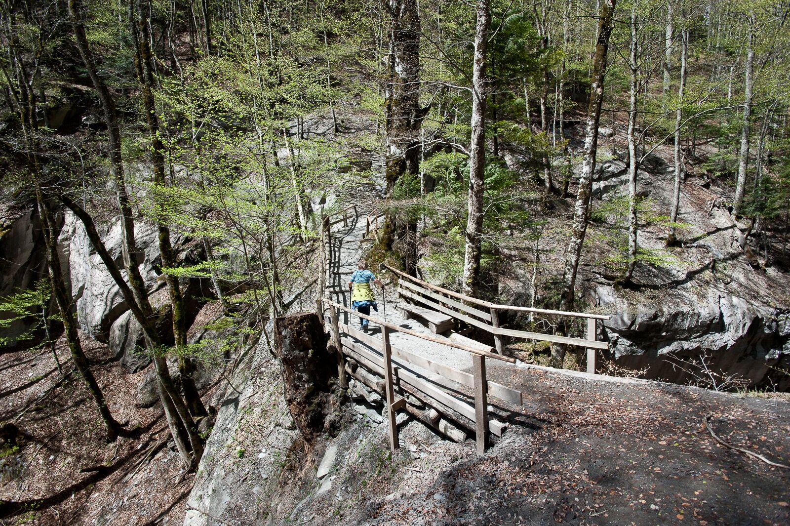
A few meters from the Old Bath Pfäfers is the entrance to the spring grotto. The path leads 450 meters into the rock interior to the grotto, where the spring water bubbles hot from the rock. Then take the same path back to the Old Bath Pfäfers. After the break, the path leads over the natural bridge and 300 steps to the highest point of this hike. Before the village of Pfäfers, turn towards Bad Ragaz. During the descent, you pass the Tamina Bridge, which with a span of 260 meters and a length of 475 meters is the largest arched bridge in Switzerland.


Normal hiking equipment, sturdy mountain boots.
The section between the Old Bath Pfäfers and Pfäfers can be slippery in places after rain.
Highway exit Bad Ragaz, then follow the parking signs on the main road.
By train to Bad Ragaz, then on foot to the festival ground in the center of Bad Ragaz (signposted).
Public parking available.
Bath operations Pizol cable carsStart times of hike 3:
09:00 am 10:00 am 11:00 amHiking time
The pure hiking time is approximately 3 hours 20 minutes.
Break
In the Old Bath Pfäfers there is a one-hour break.
Food options
In the Old Bath Pfäfers
Strollers
The hike up to the Old Bath Pfäfers is stroller-friendly. The official hike continues towards Pfäfers, but this route is not possible with a stroller. You must take the same path back from the Old Bath Pfäfers to Bad Ragaz.
The nation's hiker, Nik Hartmann, accompanies the thermal water hike at 10:00 am.
Kamery internetowe z trasy
Uzyskaj wgląd
Zawsze na żywo z ponad 9 500 kamer internetowych. bergfex Jako użytkownik Pro, możesz teraz zobaczyć odpowiednie kamery internetowe dla wielu wycieczek w aplikacji wycieczki od. Pozwala to na bezpośredni podgląd aktualnych warunków.


Popularne wycieczki w okolicy
-
3,7
Fürstin-Gina-Weg
Wędrówka 10,7 km -
4,7
5-Seen Wanderung am Pizol
światłoWędrówka 10,1 km -
4,7
Tamina Gorge Circular Route
średniWędrówka 14,0 km -
4,6
Pizol - Batöni - Weisstannen
ciężkiWędrówka 11,7 km -
4,6
Pizalun circular route
światłoWędrówka 7,18 km -
4,7
Off to the Falknis
ciężkiWędrówka 18,2 km -
4,5
Pizol summit tour
średniWędrówka 9,28 km -
4,7
Mädems Trail
średniRakieta do chodzenia po śniegu 7,48 km -
5,0
Circular hike Bettlerweg & 2-Lakes Hike Pizol
średniWędrówka 11,4 km -
4,2
Batöni Waterfall Arena
średniWędrówka 8,24 km

Wędrówki i tropienie


Nie przegap ofert i inspiracji na następne wakacje
Twój adres e-mail została dodana do listy mailingowej.





