Schleitheimer Randenturm
średni
Wędrówka
Nawigacja
Nawigacja
Pobierz tę trasę na swój telefon komórkowy
Mapa
Schleitheimer Randenturm
średni
Wędrówka
12,57 km
Zeskanuj kod QR i rozpocznij nawigację w aplikacji bergfex.
QR Code
Wędrówki i tropienie

Schleitheimer Randenturm

Odległość
12,57 km
Czas trwania
03:30 h
Ascent
456 hm
Poziom morza
469 - 883 m
Ścieżka do pobrania
Mapa
Schleitheimer Randenturm
średni
Wędrówka
12,57 km

Because there were already significant settlements there during Roman times. At Salzbrunnehof you will find the interesting, publicly accessible Juliomagus Thermal Museum. The Gypsum Museum in the Schleitheim...


Opis

Because there were already significant settlements there during Roman times. At Salzbrunnehof you will find the interesting, publicly accessible Juliomagus Thermal Museum. The Gypsum Museum in the Schleitheim gypsum mine is a thrilling underground experience.

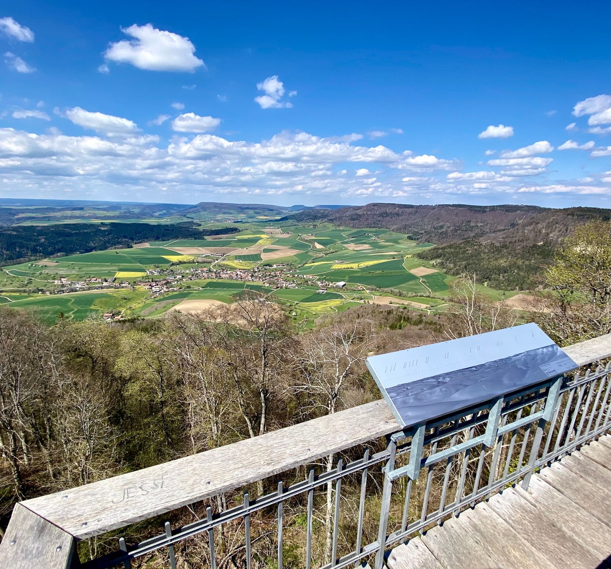
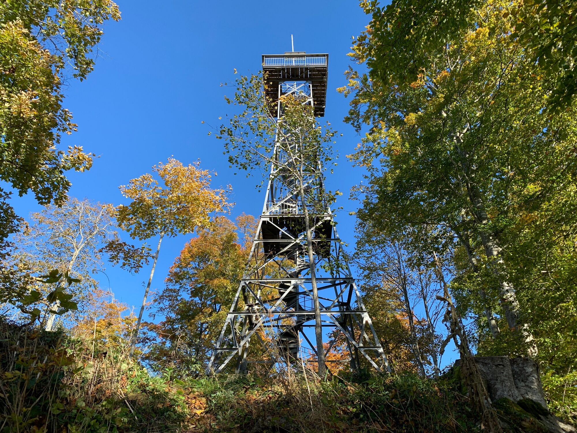
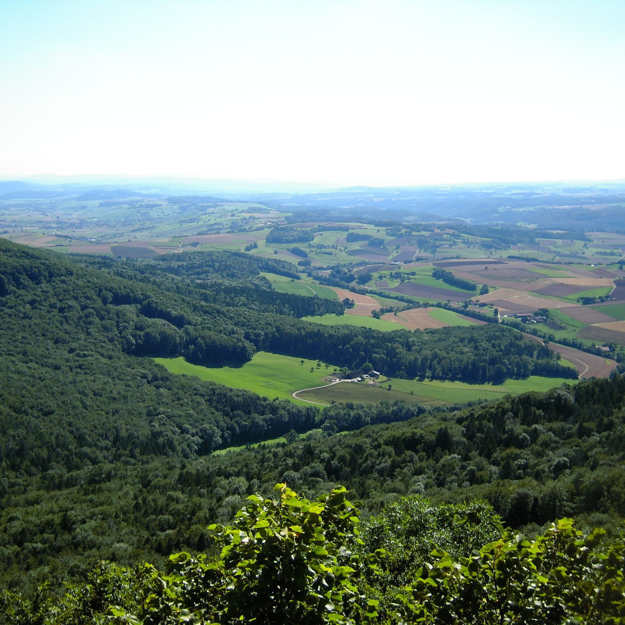
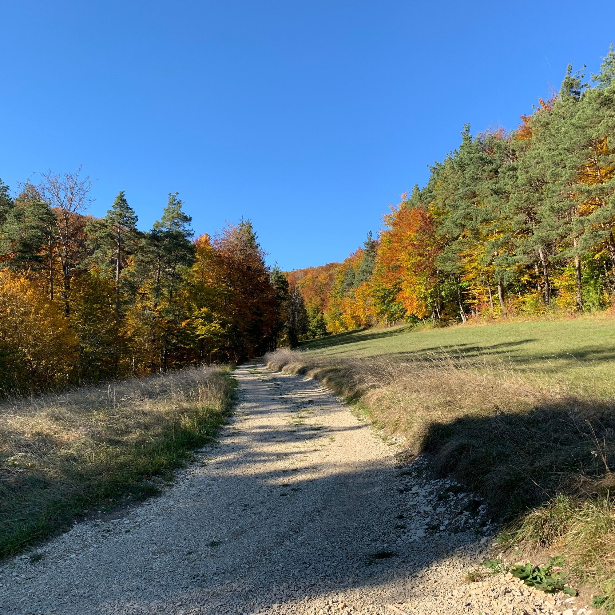
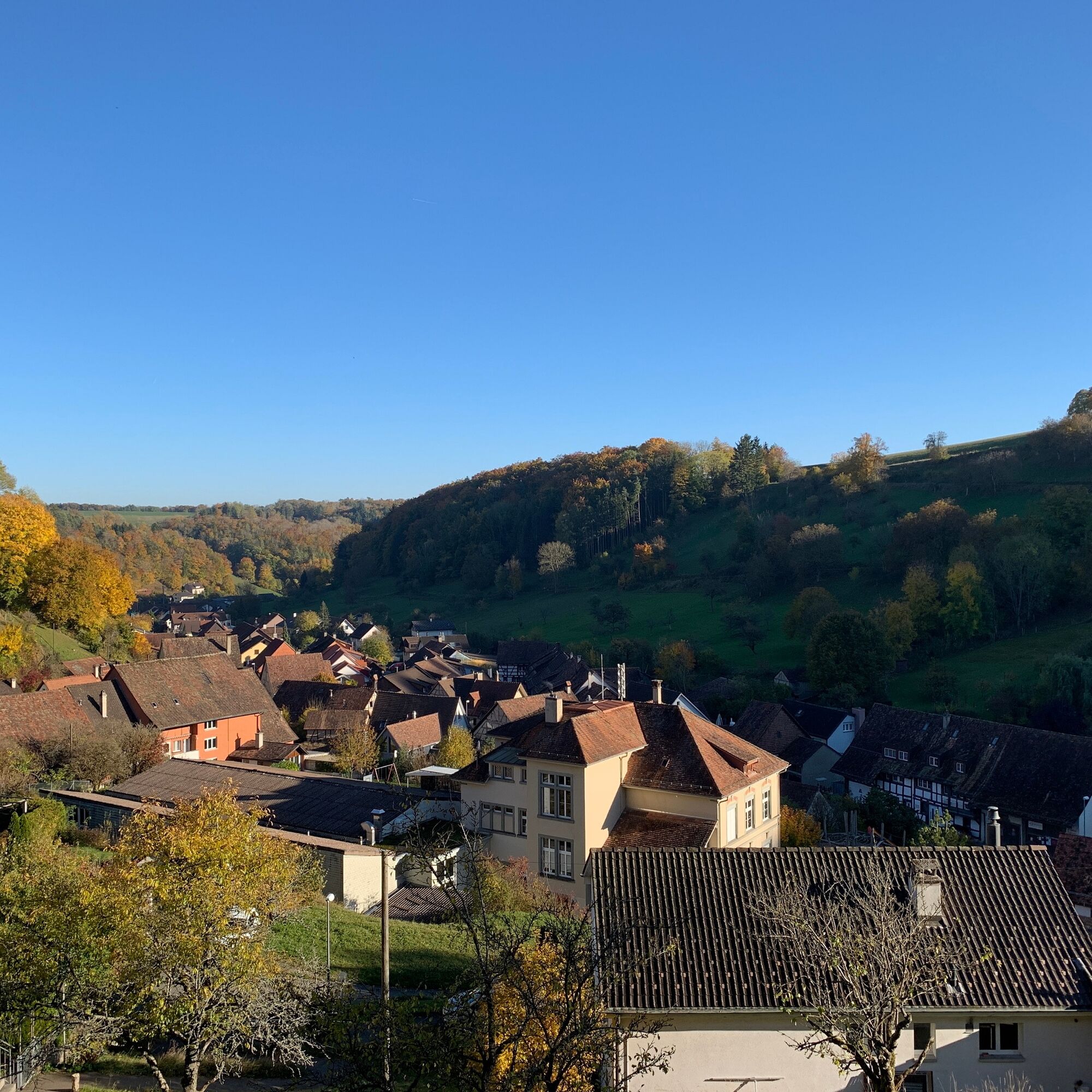
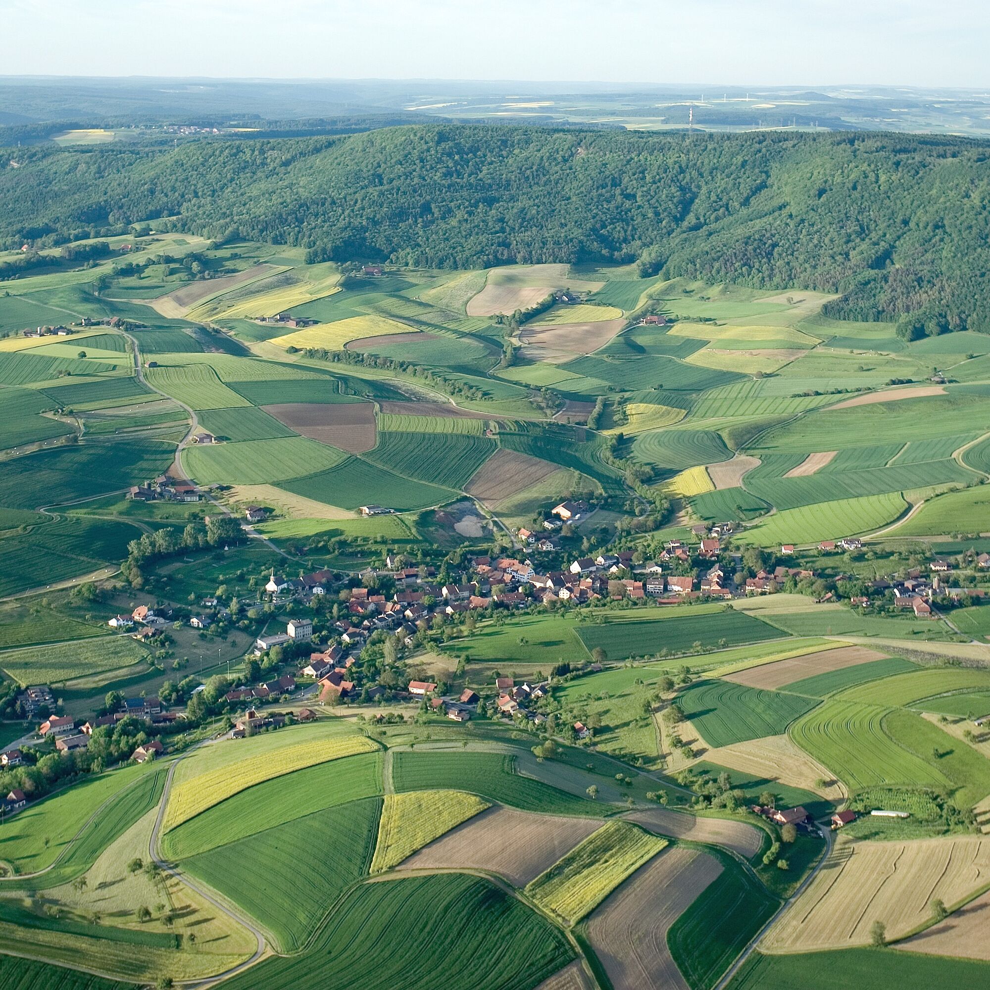
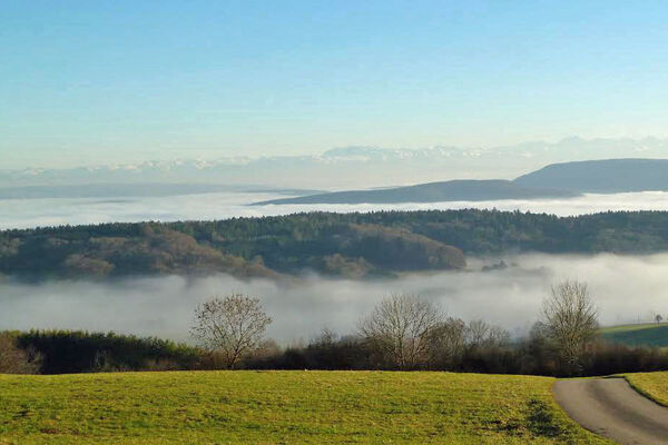
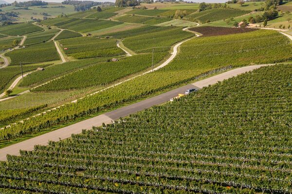
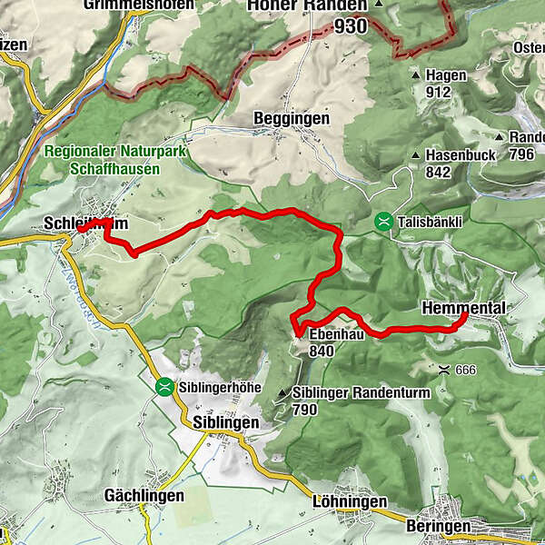
The Schaffhausen bus takes you from Schaffhausen station to Schleitheim. From there, a hiking trail follows the village brook, alive with ducks, towards Strickhof. You leave the village and reach the steeply ascending forest section to the Randenburg ruin and the Schleitheimer Randenturm. Those who climb its steps enjoy a beautiful view over the Randen area and the Black Forest. Over the Schlossranden you then reach the large forest and play meadow of Zelgli with its fire pits. You can extend the hike to the Siblinger Randenhus, where you will find another catering option. You can then start the descent to the bus stop in Hemmental, a typical Randen village, feeling refreshed and strengthened.

Trasa
Schleitheim
(467 m)
Wioska
0,1 km
Ref. Kirche Schleitheim
(484 m)
Miejsce kultu
0,4 km
Waldwirtschaft Schlossranden
(888 m)
Restauracja
5,3 km
Ebenhau
(840 m)
Szczyt
8,6 km
Chrisling
(834 m)
Szczyt
9,3 km
Uf der Stig
(677 m)
Punkt widzenia
11,9 km
Hemmental
(563 m)
Wioska
12,3 km
Trasa
Mapa
Schleitheimer Randenturm
średni
Wędrówka
12,57 km
Schleitheim
(467 m)
Wioska
0,1 km
Gasthaus zur Brauerei
(474 m)
Restauracja
0,3 km
Ref. Kirche Schleitheim
(484 m)
Miejsce kultu
0,4 km
Strickhof
(580 m)
Rozliczenie
3,3 km
Waldwirtschaft Schlossranden
(888 m)
Restauracja
5,3 km
Ebenhau
(840 m)
Szczyt
8,6 km
Chrisling
(834 m)
Szczyt
9,3 km
Uf der Stig
(677 m)
Punkt widzenia
11,9 km
Hemmental
(563 m)
Wioska
12,3 km
Informacje o wycieczce

Nice, family-friendly hike that can be expanded in Schleitheim into a cultural-historical lesson.

Technologia
n.d.
Stan
4 / 6
Krajobraz
4 / 6
Doświadczenie
n.d.
Najlepsza pora roku
Sty
Lut
Mar
Kwi
Maj
Cze
Lip
Sie
Wrz
Paź
Lis
Gru
Autor
Dostarczone przez Schaffhauserland Tourismus
Logo
Udostępnij trasę
Mapa
Schleitheimer Randenturm
średni
Wędrówka
12,57 km
Błąd
Wystąpił błąd. Spróbuj ponownie.
Informacje o trasie
Trasa

Schleitheim - Strickhof - Randenburg ruin - Schleitheimer Randenturm - Schlossranden - Zelgli - Siblinger Randenhus - Hemmental - Schaffhausen station.

From the bus stop

Start your hike at the Schleitheim Poststrasse bus stop. From there, cross the small bridge over the village brook and follow Adlerstrasse east until you reach the main road. Turn right and go onto the Klettgau-Rhein Trail / Randenstrasse. At the second opportunity, turn right onto "Chilcheraa" and follow the fork left onto "Luckete." This path leads you out of the village past fields to Strickhof. Walk straight past Strickhof and turn right before the forest, then follow the path. After about 500 m, a path leads left towards the forest. Follow this until you reach a junction in the forest. Here turn right and follow the forest path upwards until you reach the Schleitheimer Randenturm. Now you have to climb a few steps and enjoy the view from the tower. Just below the tower, a forest inn awaits for the first break. The hiking trail then continues towards Siblingen, past the Zelgli barbecue area. At the junction, follow the hiking trails towards Siblinger Randenhaus. Once there, a break on the beautiful terrace with views up to the Alps is worthwhile. Where you just came out of the forest, turn directly left back into the forest. Follow the hiking trail, which is also part of the Way of St. James. After a short time, you emerge from the forest and continue along it until you reach a larger fork. Take the path to your left. Here the path leads down to the destination in the Randen village Hemmental.

Sprzęt

good footwear

Informacje o przyjeździe
Przybycie

Route planner

Transport publiczny
Parking

Parking available in the village of Schleitheim

Dodatkowe informacje i wskazówki
Wskazówki

Climb up the Schleitheimer Randenturm and enjoy the view.

Start the hike in Hemmental and end in Schleitheim.

Nie ma jeszcze recenzji
Napisz recenzję

Recenzje pomagają innym użytkownikom wybrać kolejną przygodę. Oceniaj tylko trasę, a nie pogodę lub przekąskę.

Wybierz jedną z gwiazdek, aby ocenić wycieczkę
Zła trasa
Słaba trasa
Przeciętna wycieczka
Dobra wycieczka
Doskonała wycieczka
bergfex logo Uzyskaj wgląd Zawsze na żywo z ponad 9 500 kamer internetowych. bergfex Jako użytkownik Pro, możesz teraz zobaczyć odpowiednie kamery internetowe dla wielu wycieczek w aplikacji wycieczki od. Pozwala to na bezpośredni podgląd aktualnych warunków.
Wędrówki i tropienie

Wędrówki i tropienie

Wędrówki i tropienie
Ponad 550.000 propozycji wycieczek, szczegółowe mapy i intuicyjny planer tras sprawiają, że aplikacja jest niezbędna dla wszystkich entuzjastów przyrody.
Wędrówki i tropienie
bergfex bergfex