


SchweizMobil 899: Pinot Noir Panorama Trail
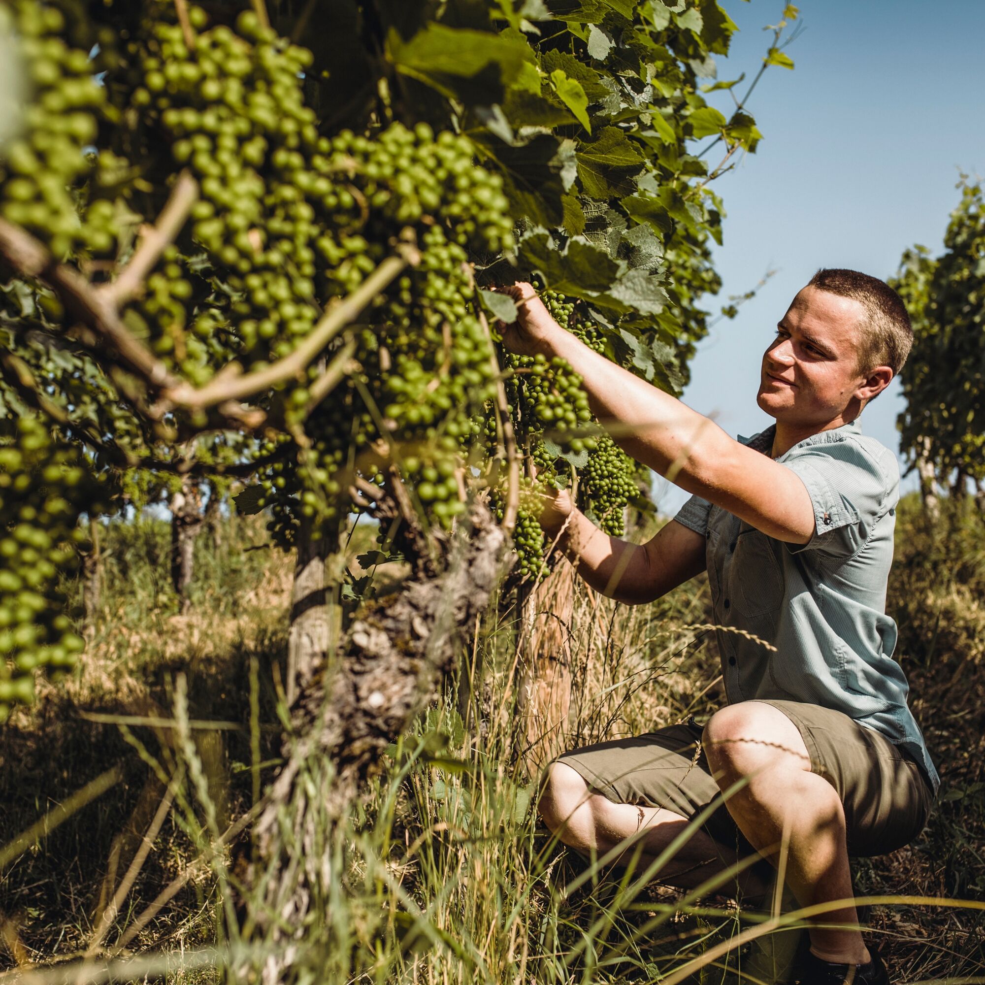
At the center of this hike is the Schaffhausen wine with its great tradition. The Romans are said to have cultivated vineyards in this area. Documents prove that the monks of the All Saints Monastery around...
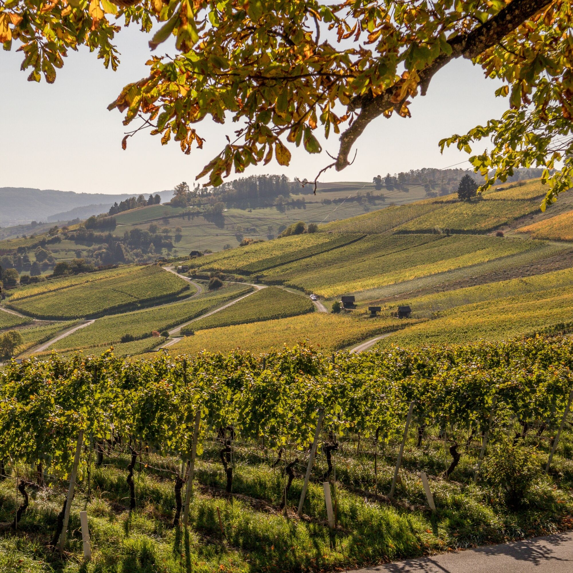
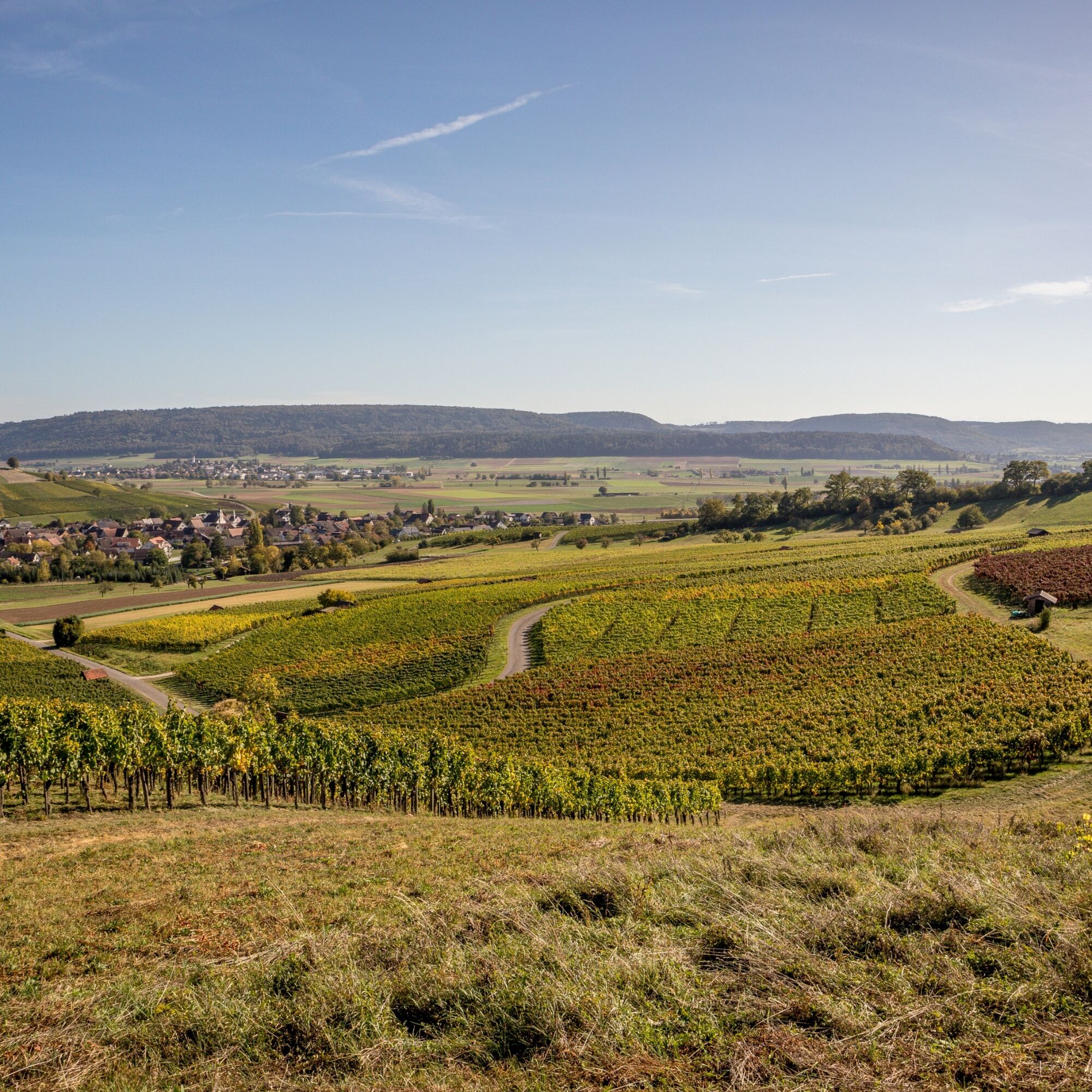
At the center of this hike is the Schaffhausen wine with its great tradition. The Romans are said to have cultivated vineyards in this area. Documents prove that the monks of the All Saints Monastery around 1100 managed their own vines in Hallau and thus promoted and expanded the craft. Today, the largest contiguous vineyard landscape in the German-speaking part of Switzerland extends in this area.
Pinot Noir still plays the main role here. On three out of four vines, the Pinot Noir grape grows, followed by other varieties such as Müller-Thurgau, Chardonnay, or Merlot.
The high-altitude hike through the heart of the Schaffhausen Pinot Noir region runs from the Siblingerhöhe to Trasadingen. Along the entire route, you enjoy a wide view over the vineyard landscape up to the Swiss Alps.
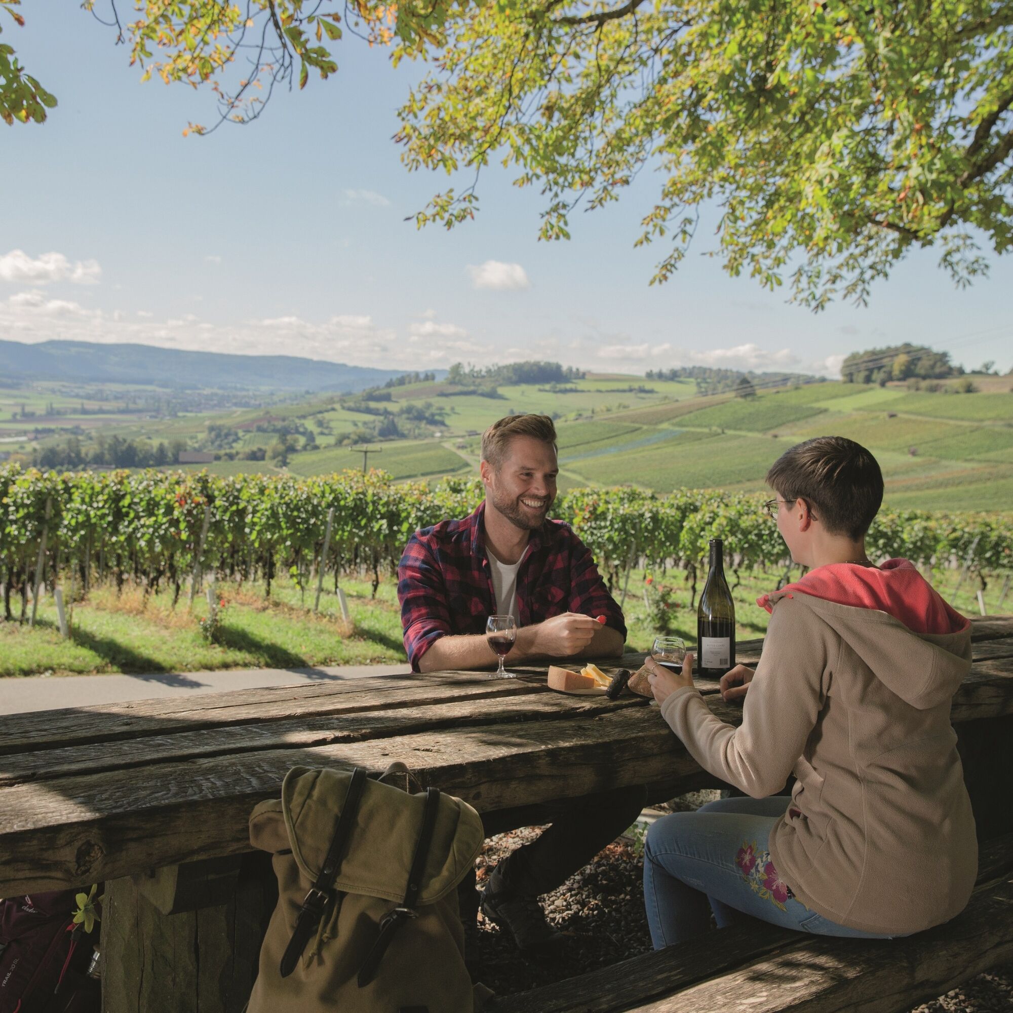
On weekends in August and September, you have the opportunity at the Räbhüüüsli Hallau in Oberwis, above the wine road, to convince yourself of the quality of the Schaffhausen wines and at the same time to strengthen yourself for the second part of the route.
It continues up the slope to the Wilchinger Berghaus. From there, you descend through the vineyards down to the destination Trasadingen.

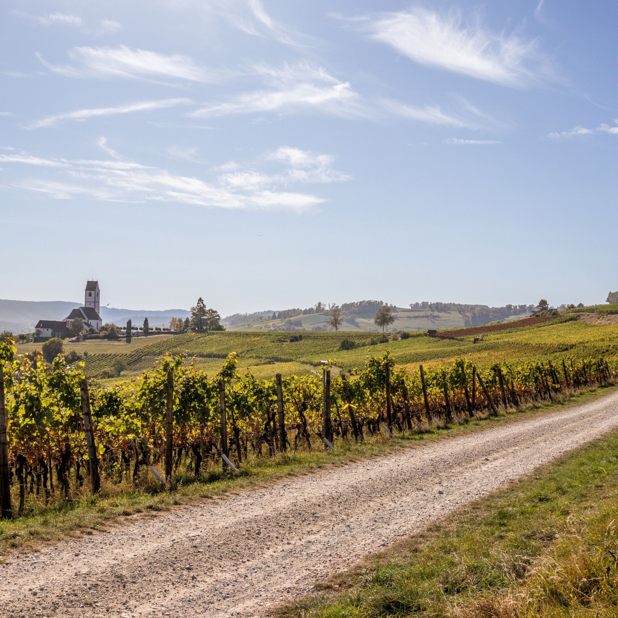
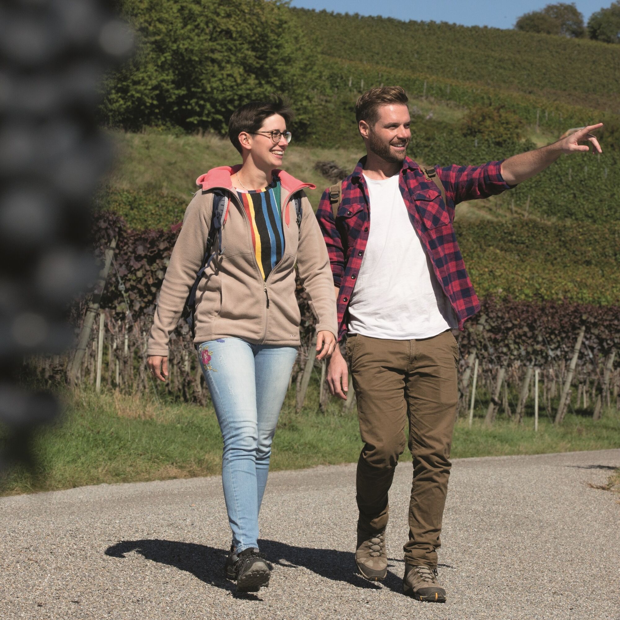
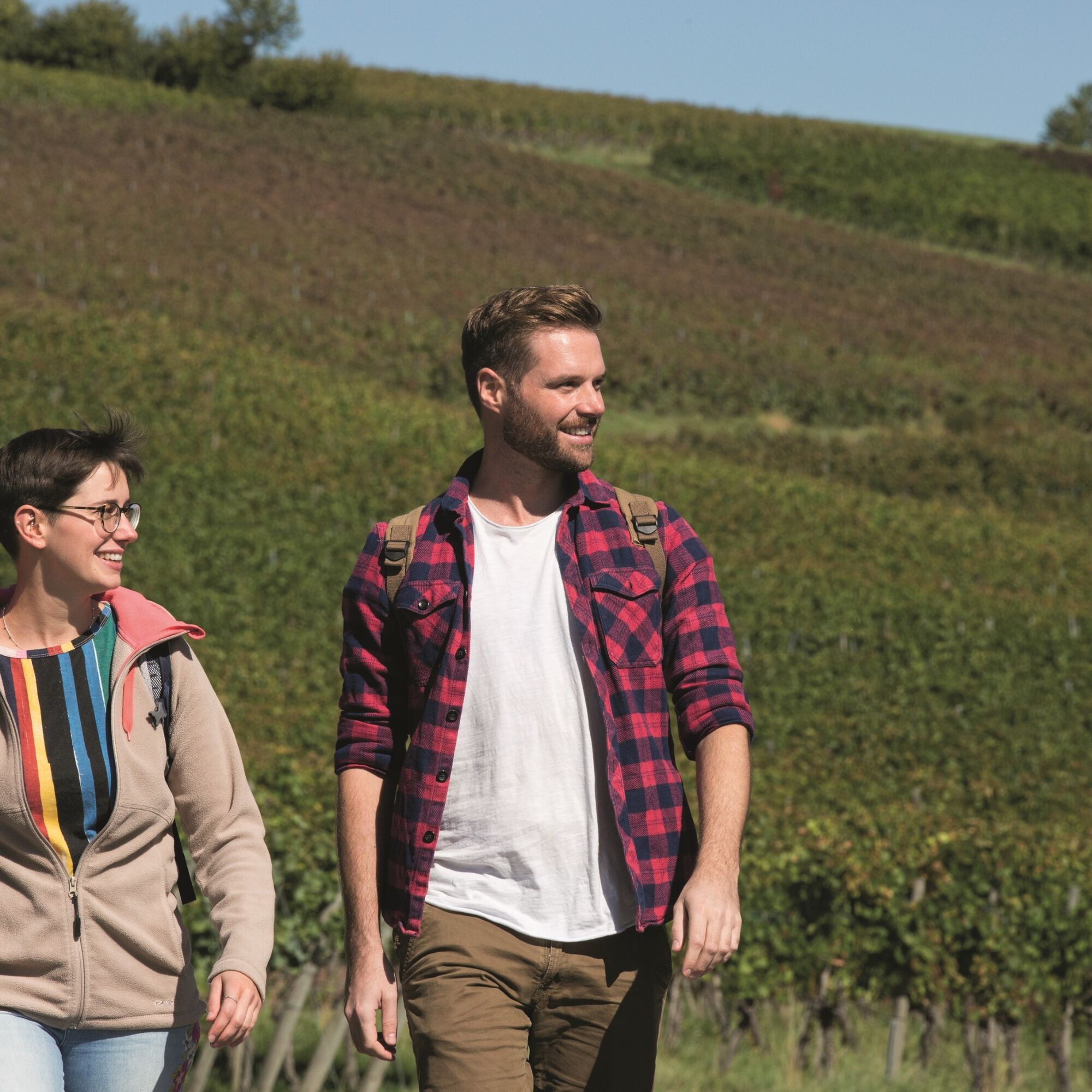
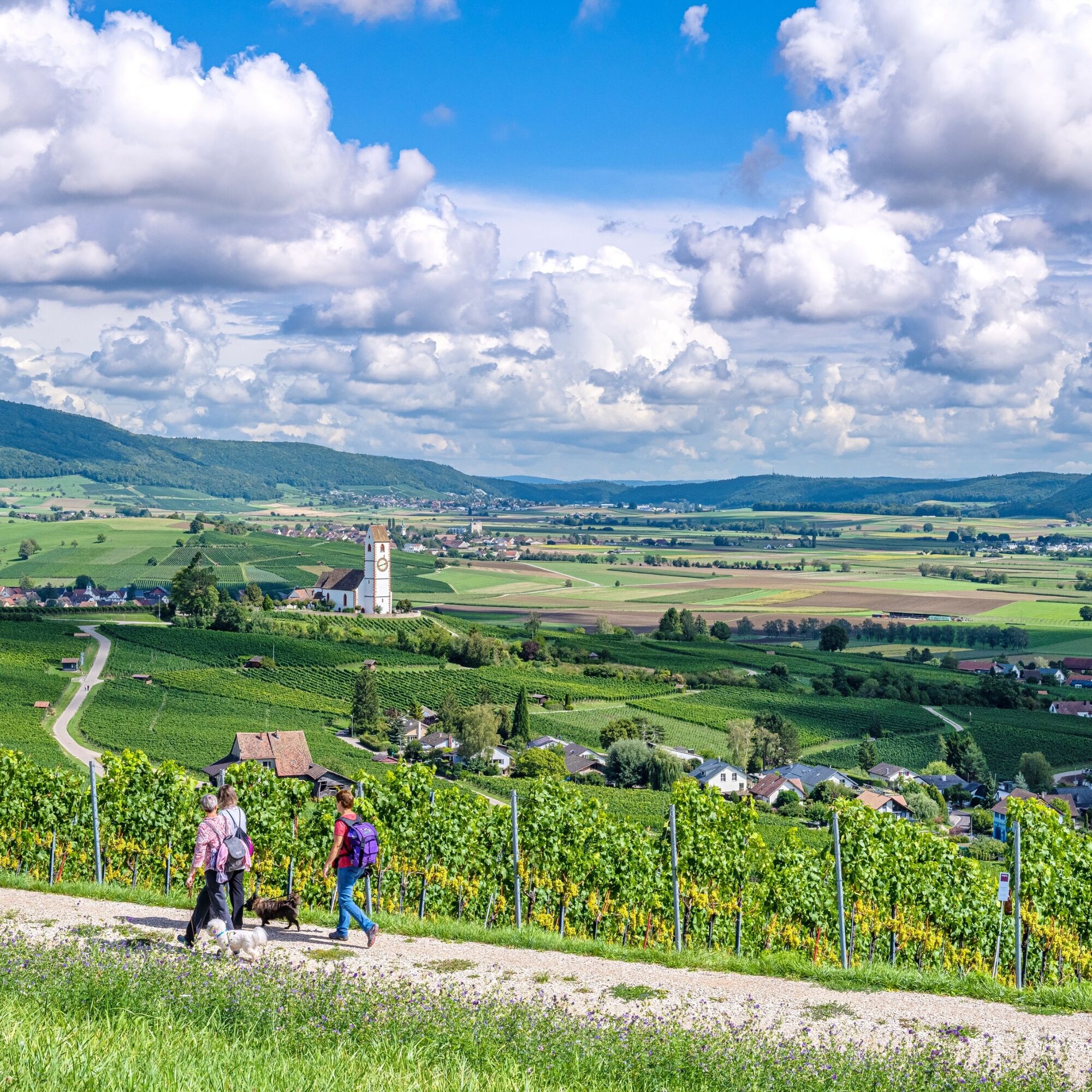
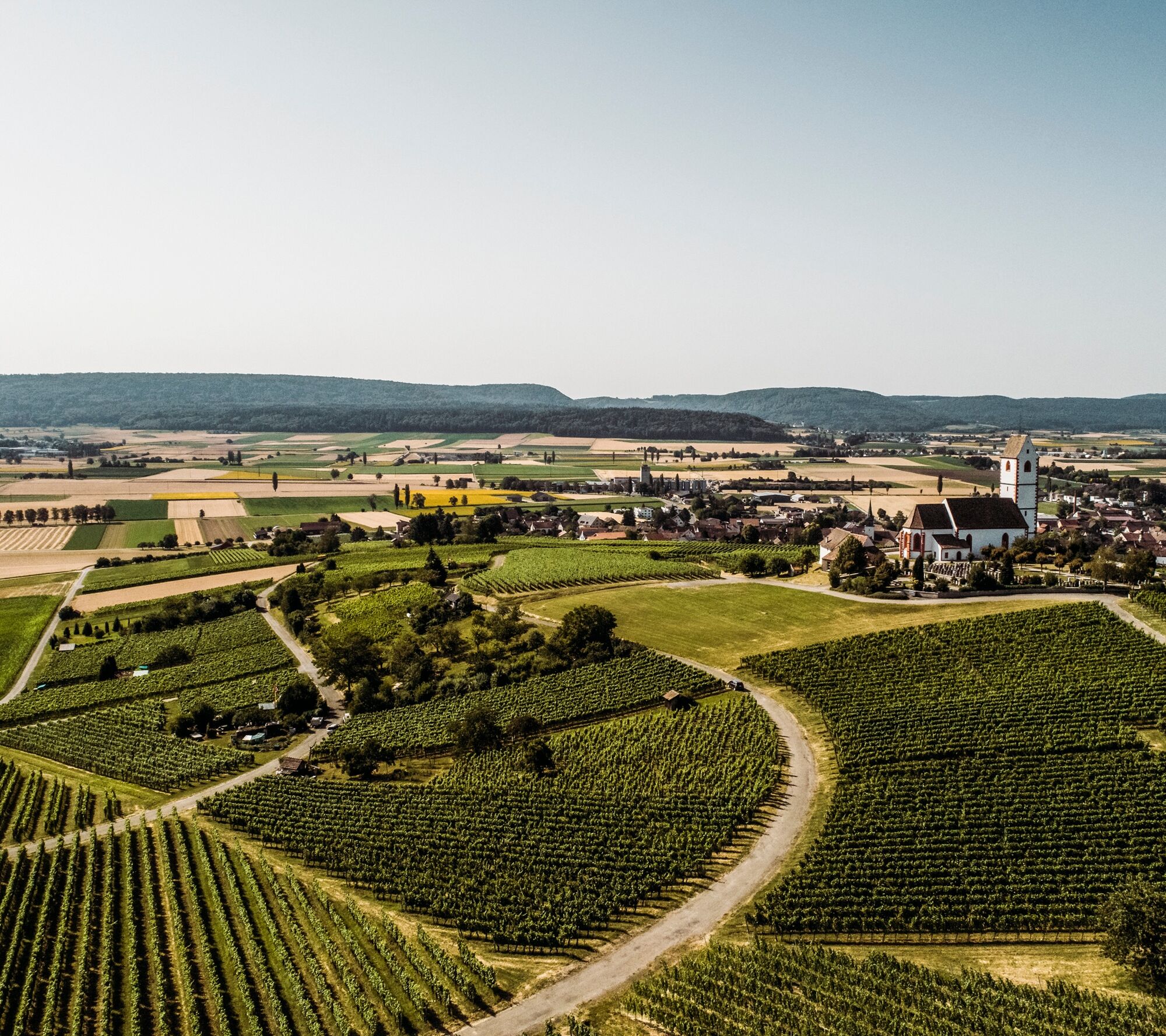
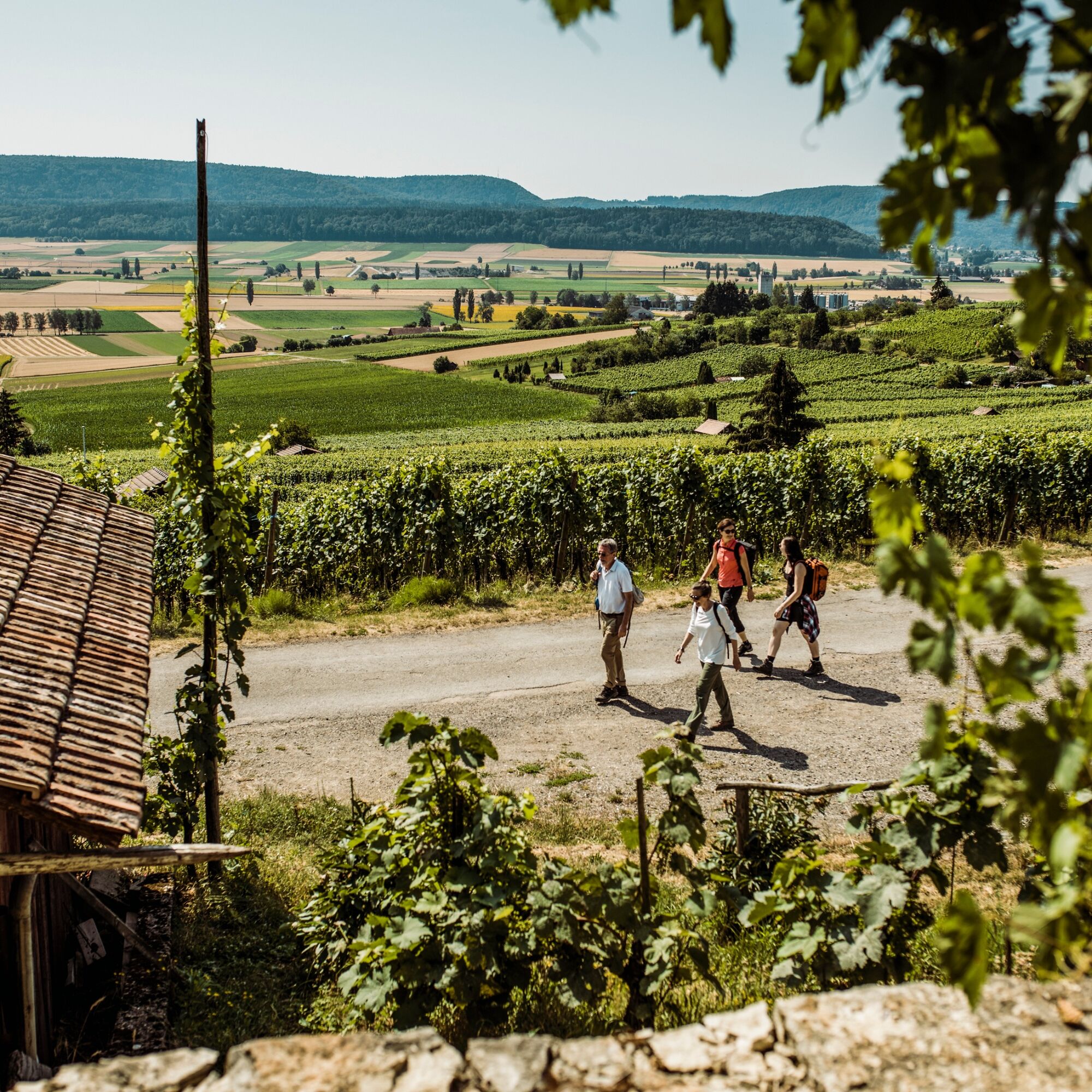
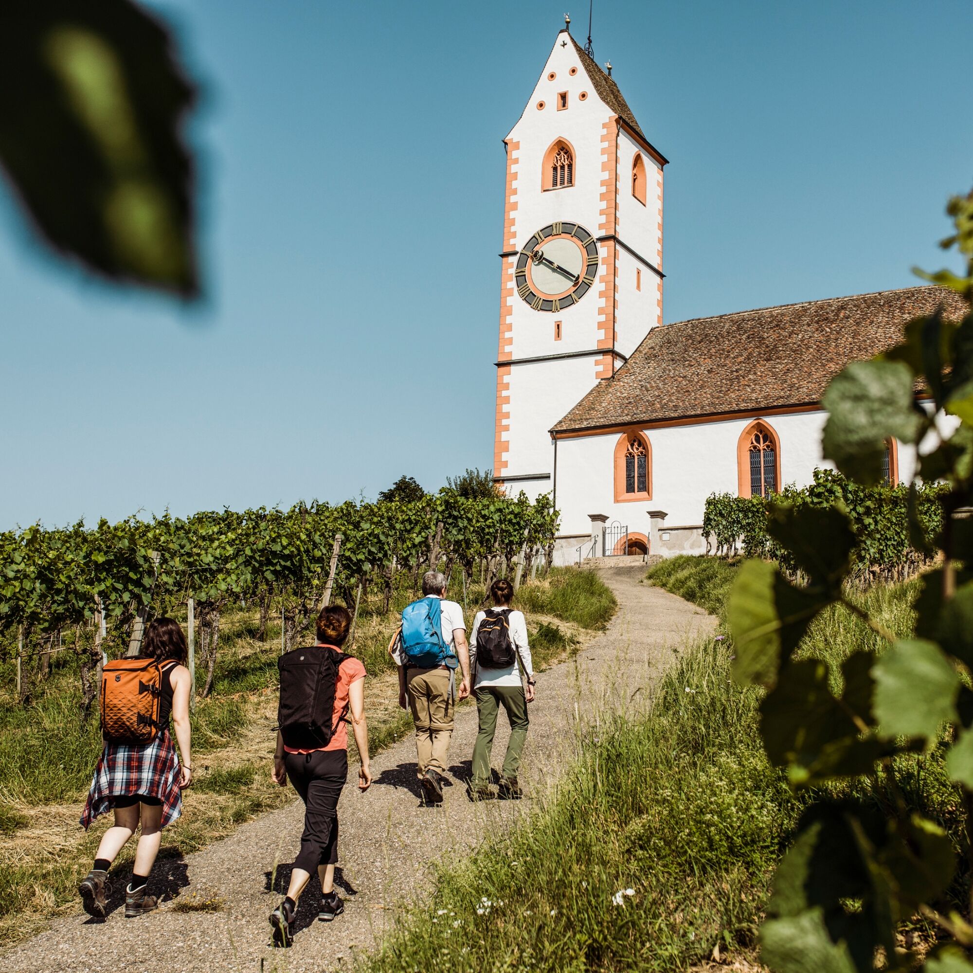
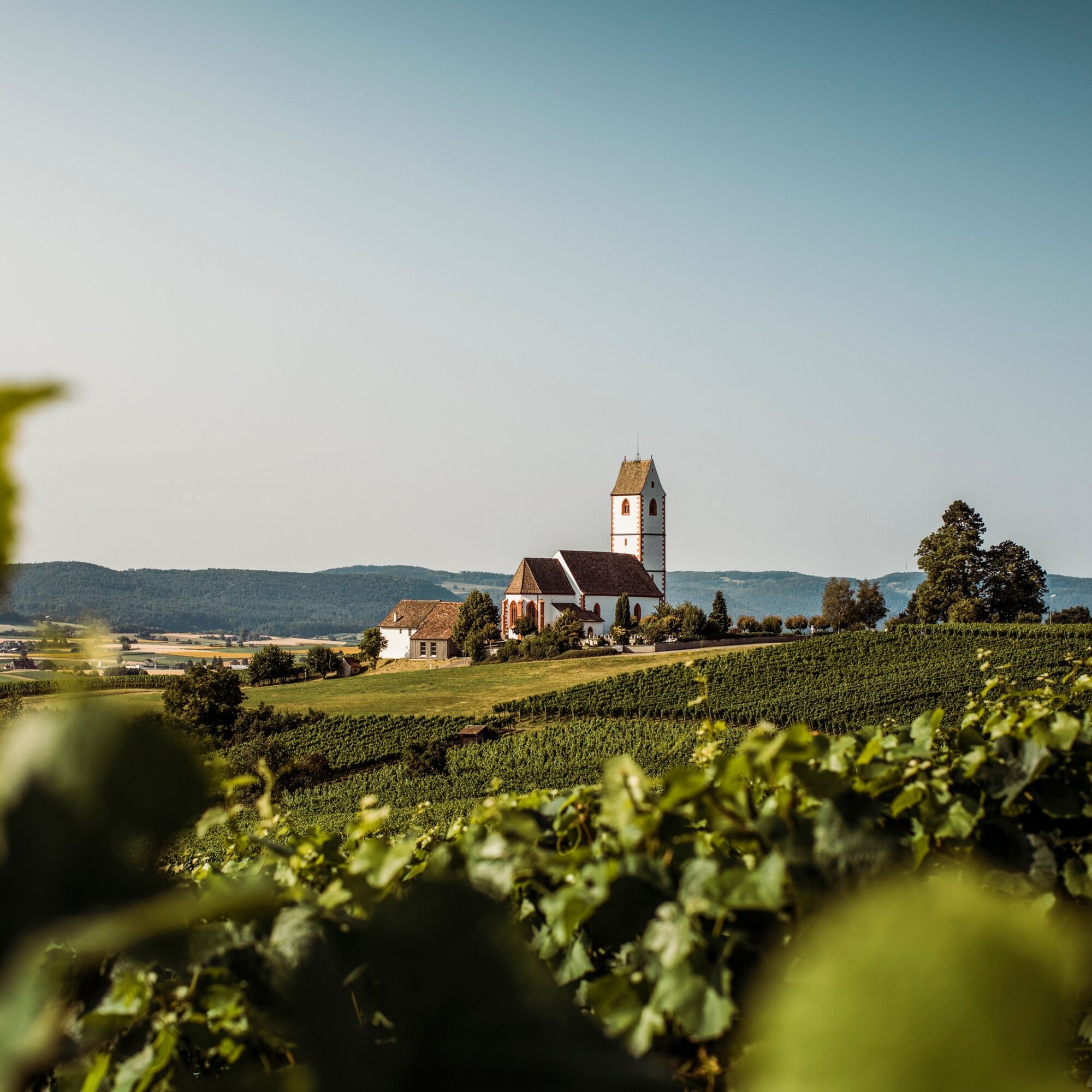
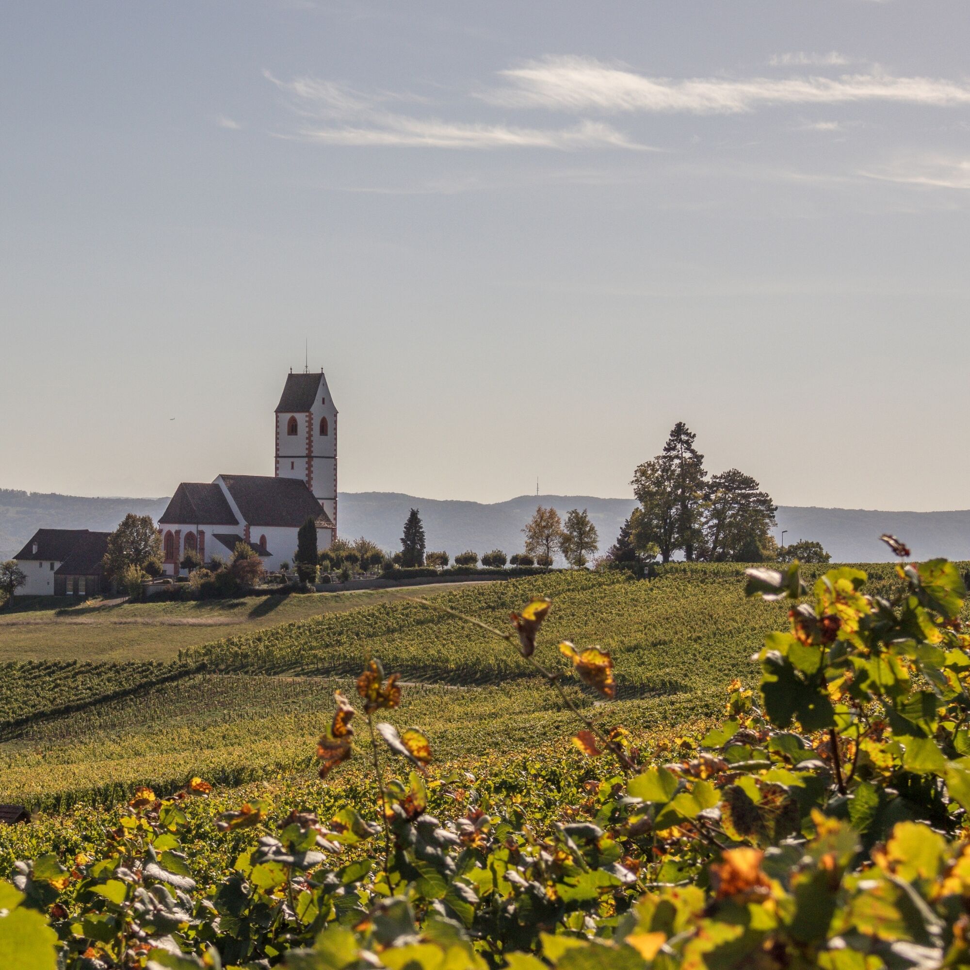
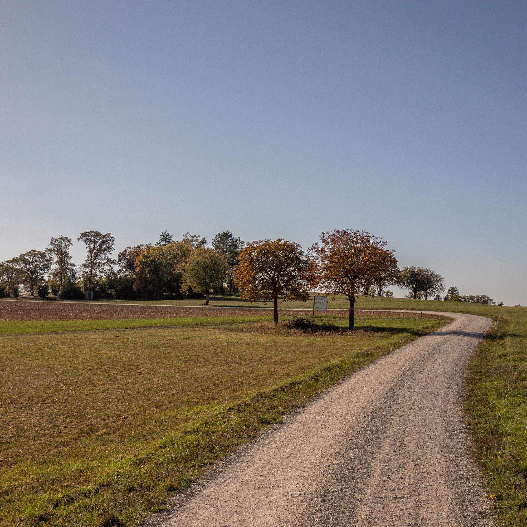

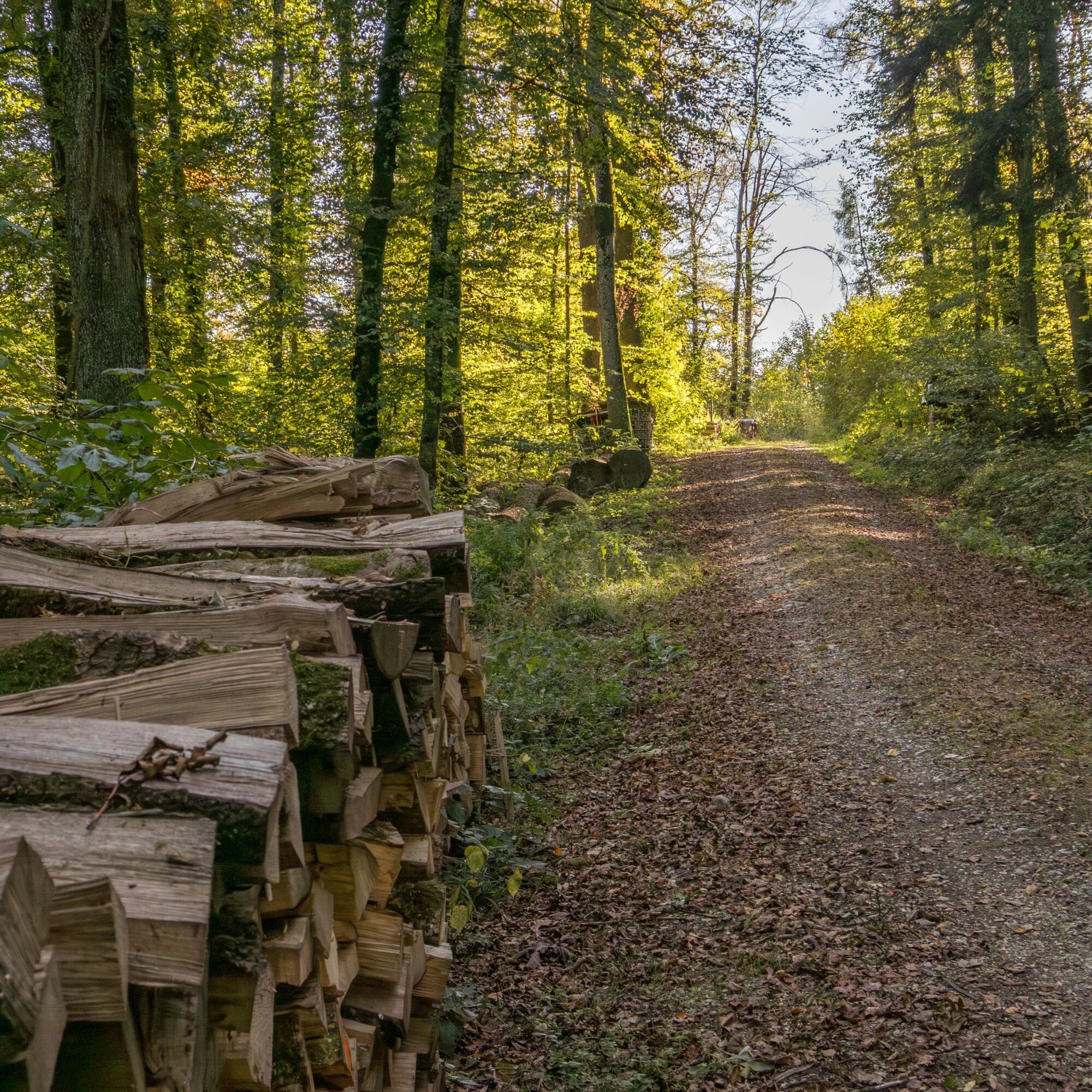

The Pinot Noir Panorama Trail 899 starts at the bus stop at Siblingerhöhe. You follow the mountain road towards Gächlingen and immediately take the first field path on the right. Follow the field path until you can turn left. Here, continue along the field path towards Oberhallauer Berg to the Hinterer Berghof. A steep path between fields and forest towards the village leads you further over the main road into the vineyards. At the first intersection, take the path to your right and continue along the vineyards towards Hallau. Enjoy the beautiful distant view. Follow the path and signage until it goes slightly downhill. At the second fork, continue right. Soon you will pass the Räbhüüüsli Münderet. A short break is worthwhile. The path then leads past the well-known mountain church of St. Moritz. Now it goes uphill again, past the grill area Tisch and Bänk, below the Berghof Hallau continuing to the forest. Uphill again, past the grill spot Oberi Egg towards Wilchinger Berg / Trasadingen. Past Rummele towards Rummelehof. Following the ridge, it goes over Wilchinger Berg to the Erlebnis Bauernhof. Now it goes downhill towards Trasadingen. Whether at the fork you go left or right is up to you; both paths lead to your destination.
Good footwear
Route planner
Parking available at the starting point on the Siblinger Höhe.
Combine this hike with a weekend in the Schaffhausen region – stay overnight in the wine barrel hotel at the destination in Trasadingen.
Kamery internetowe z trasy

Popularne wycieczki w okolicy
-
4,6
Small Rheinfall Circular Route
światłoWędrówka 3,48 km -
4,8
Rundwanderweg Rheinau
światłoWędrówka 6,85 km -
5,0
Berau - ruins, rocks & gorges
średniWędrówka 9,71 km -
A stroll in the Rothauser Land
ciężkiWędrówka 21,3 km -
Hike to the highest point of Schaffhausen
średniWędrówka 10,1 km -
Kleie Rheinfallrunde
światłoWędrówka 3,82 km -
4,5
SchweizMobil 593: Nordspitze Panoramaweg
średniWędrówka 13,7 km -
Circular hike Schaffhausen - Rhine Falls - Schaffhausen
średniWędrówka 10,0 km -
5,0
Küßnach-Küssaberg-Alkenhof-Rundweg
światłoWędrówka 8,56 km -
Sauschwänzle Weg, Fützen Baden-Württemberg
średniWędrówka 10,7 km
Wędrówki i tropienie


Nie przegap ofert i inspiracji na następne wakacje
Twój adres e-mail została dodana do listy mailingowej.