


Hike at Hulftegg
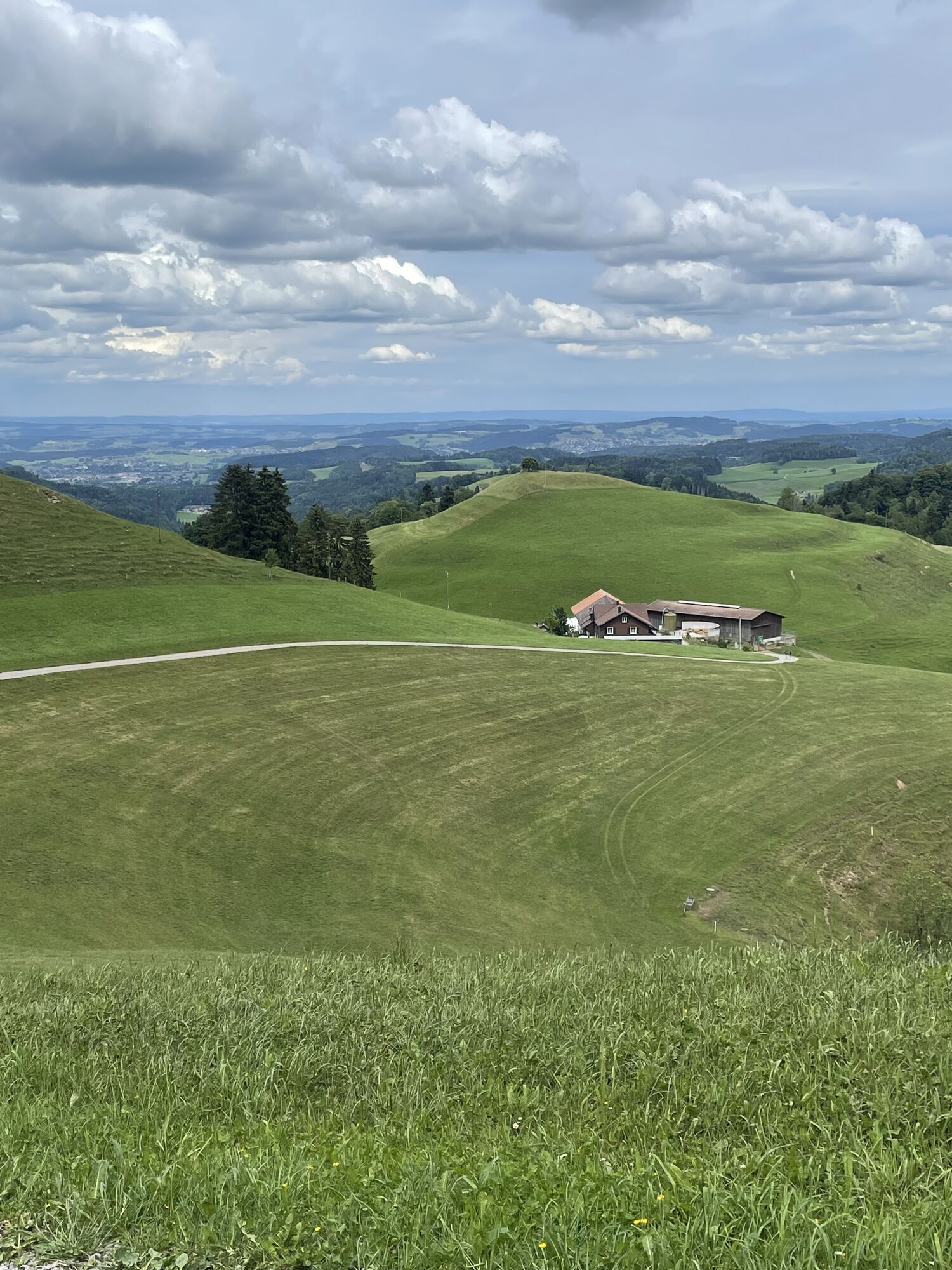
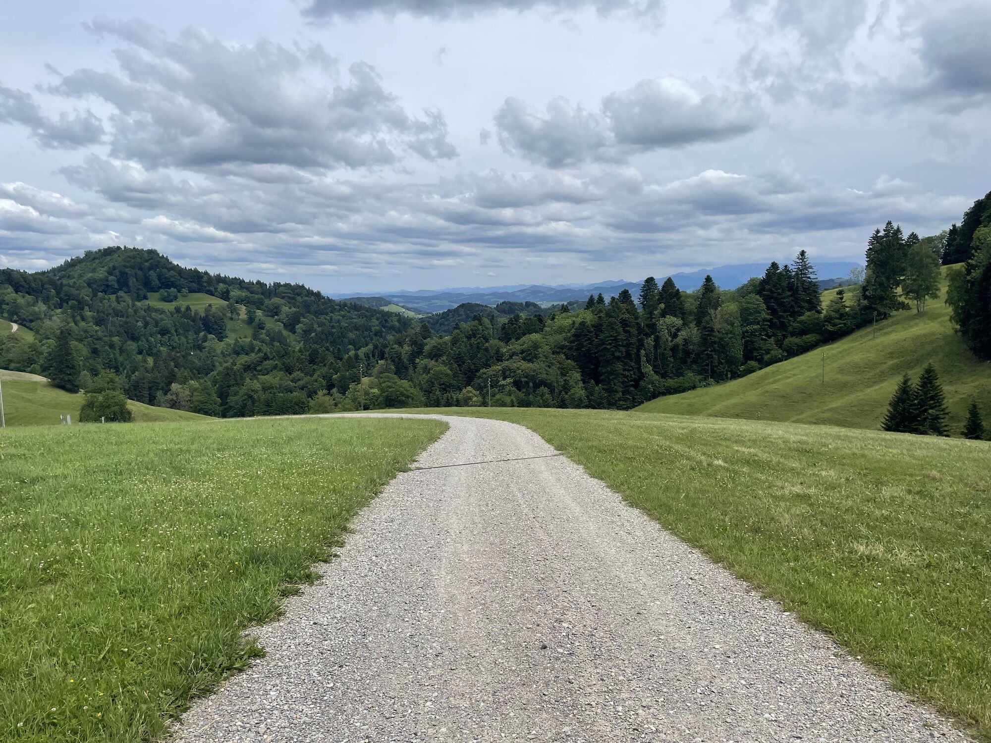
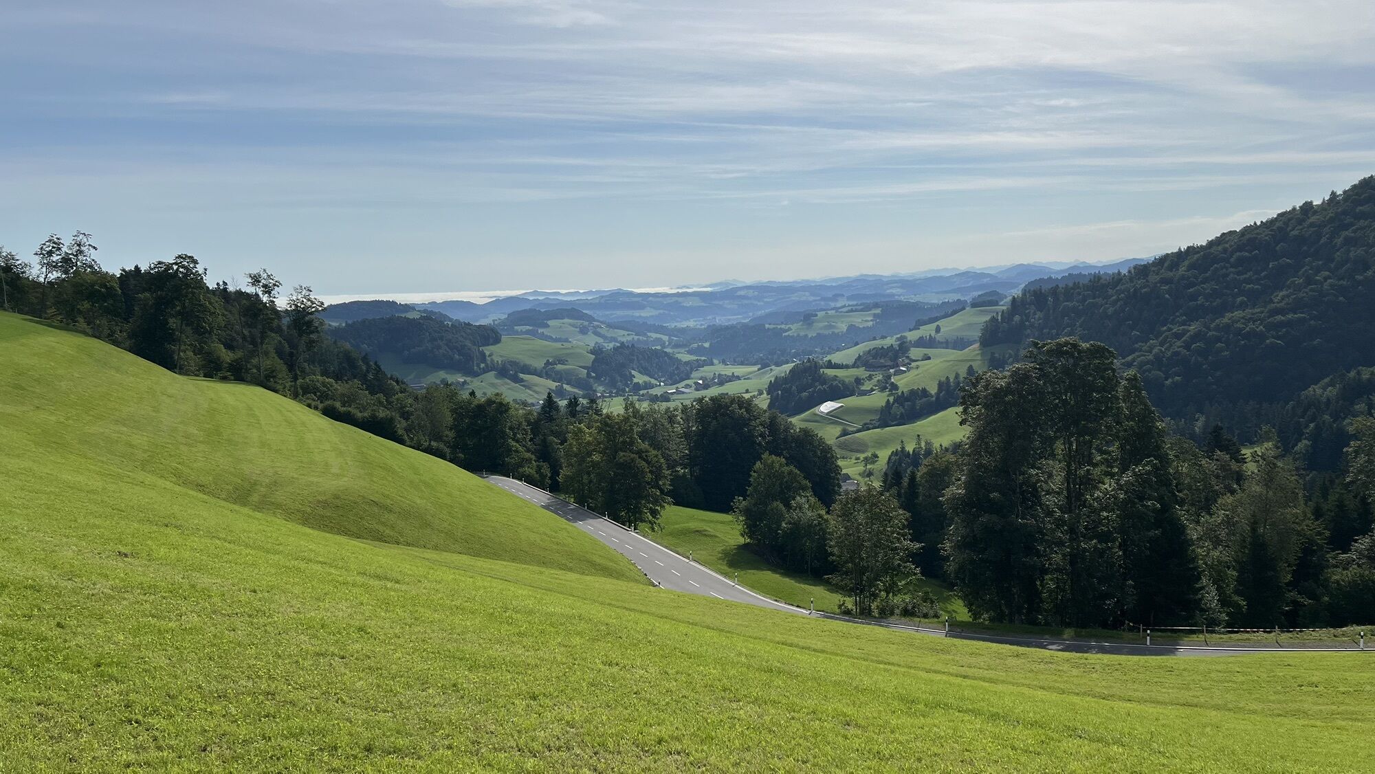
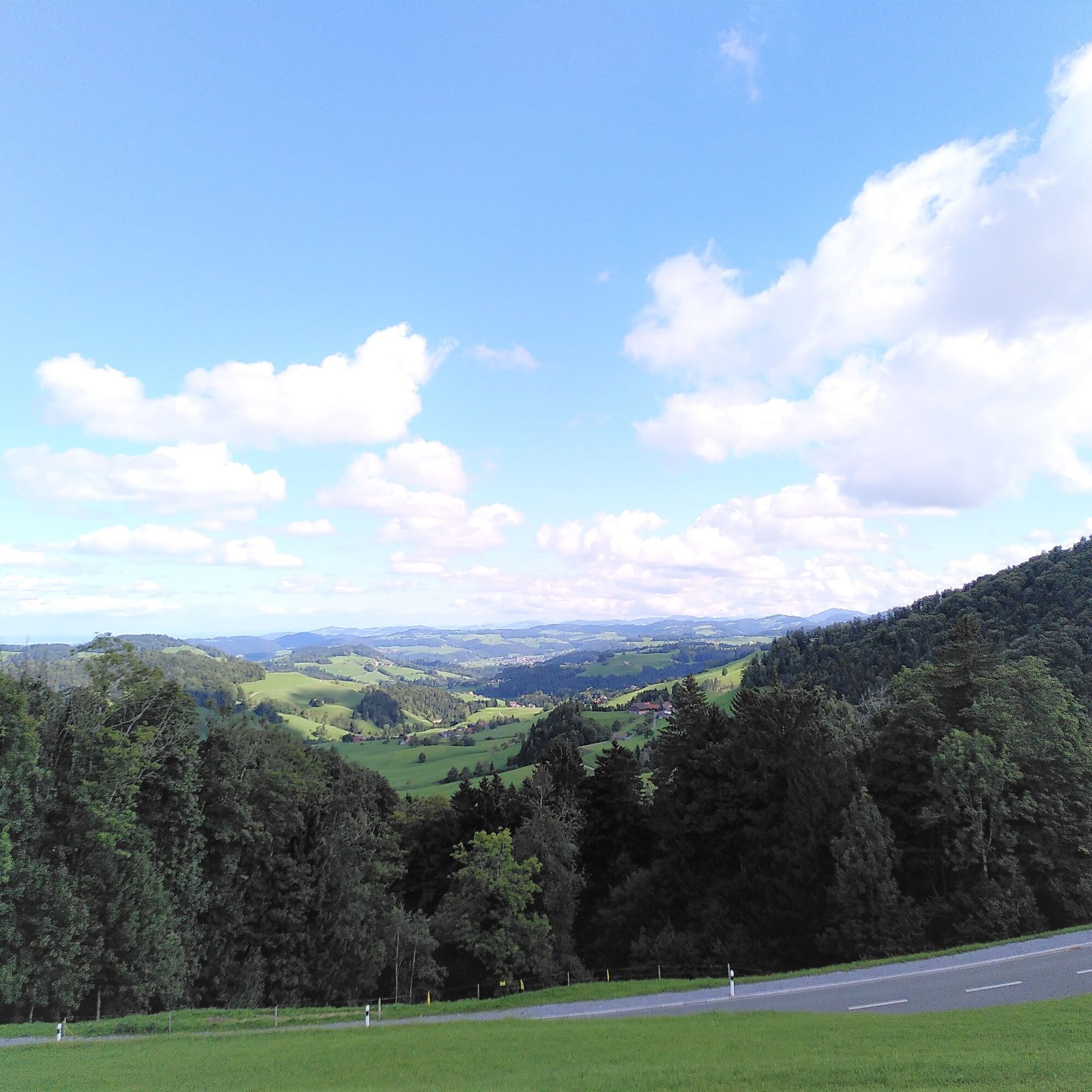
After a few meters you are away from traffic and can quietly enjoy the beautiful views and diverse nature. Along the path through various forests and over alpine pastures, you will discover a rich flora...
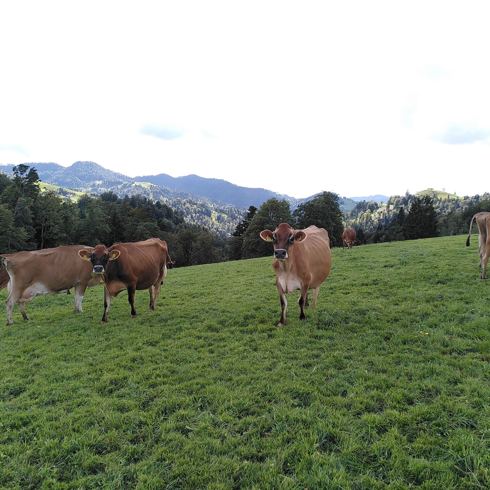
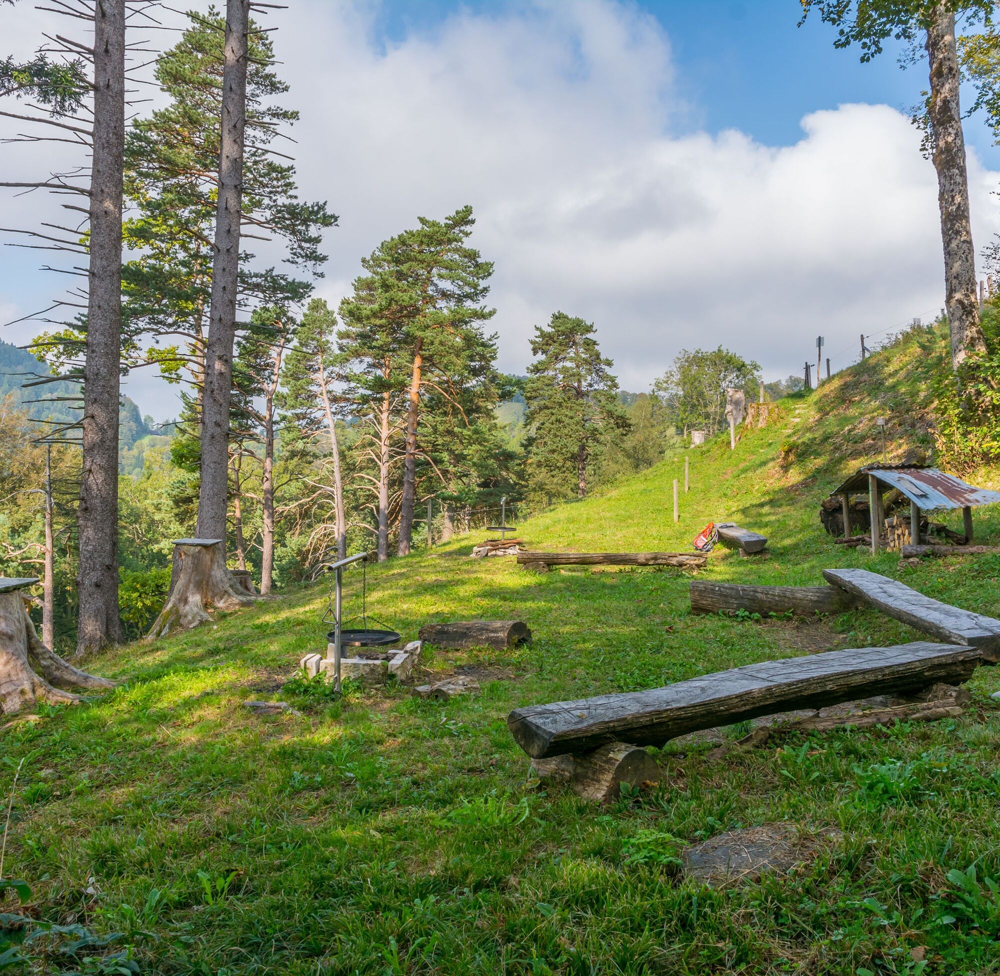
After a few meters you are away from traffic and can quietly enjoy the beautiful views and diverse nature. Along the path through various forests and over alpine pastures, you will discover a rich flora and fauna with picturesque tree stands. In Ergeten, two lovely barbecue areas invite you to take a break. In Kaltenbrunnen, you pass a turkey farm. It's worth a short stop to watch the lively antics of these birds. A few meters further, at Alewinde, you can buy provisions for the further hike or a souvenir for home at a charming farm shop.
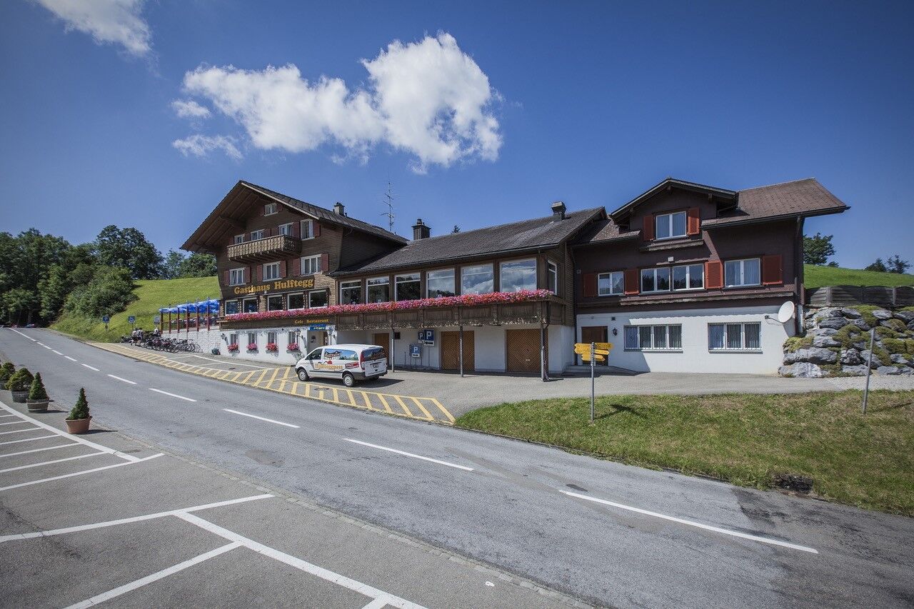
At the end of the hike, the terrace of the Hulftegg guesthouse beckons with a fine coffee and dessert.

Hulftegg - Schlattberg - Ergeten - Kaltenbrunnen - Allenwinden - Alp Rüti - Buechenhorn - Schlattberg - Hulftegg
Tak
Day hiking backpack (about 20 liters) with rain cover, sturdy and comfortable footwear, weather-appropriate and durable clothing in layers, if needed telescopic poles, sun and rain protection, provisions and drinking water, first-aid kit, pocket knife, mobile phone, if needed headlamp, map material
The route is not specially signposted. Follow the general yellow hiking trail signs.
- From the greater Zurich area and Central Switzerland:
Take the A15 to Uster, then continue on the main road via Bauma and Steg to Hulftegg.
Or take the A3 at Reichenburg towards Rapperswil and then over the Ricken Pass to Wattwil. Then down Toggenburg to Bütschwil. From there via Mosnang and Mühlrüti to Hulftegg.
- From Eastern Switzerland:
From St. Gallen, take the A1 to Wil, take the Toggenburg exit. On the main road to Kirchberg and then via Gähwil and Mühlrüti to Hulftegg.
- From southern Germany:
Via Bregenz and St. Margrethen on the A13 to Haag, take the exit towards Toggenburg/Wildhaus. Or via Konstanz to Wil, on the main road to Kirchberg and then via Gähwil and Mühlrüti to Hulftegg.
Hulftegg is easily accessible by PostBus.
From Bütschwil train station, the bus runs daily via Mühlrüti to the mountain pass (please inform the driver that you want to travel to Hulftegg; the return trip must be reserved in advance at 0848 071 081). From Steg train station, the bus runs from May to October on Saturdays, Sundays and public holidays.Exact timetables can be found at www.sbb.ch
From May to August, Hulftegg is served on the first and third Sunday, and in September and October every Sunday, by the DVZO vintage bus from Bauma or Steg. Detailed information can be found at www.dvzo.chThe parking spaces at Hulftegg are limited. Traveling by public transport is recommended, especially on nice weekends (see above or www.sbb.ch).
Toggenburg Tourism
Hauptstrasse 104
CH-9658 Wildhaus
Tel: +41 (0)71 999 99 11
info@toggenburg.swiss
www.toggenburg.swiss
Hulftegg is easily accessible by PostBus (via Mühlrüti or Steg). On selected Sundays, you can enjoy the ride in the DVZO vintage bus.


Popularne wycieczki w okolicy
- 4,3
Schnebelhorn Rundwanderung
średniWędrówka 11,9 km - 3,2
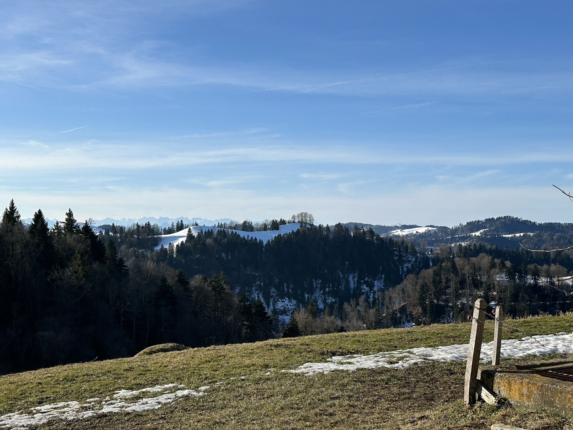
Winter hike at the Hulftegg
światłoWędrówka zimą 7,39 km - 4,5
Hulftenegg - Hörndli
światłoWędrówka zimą 6,98 km - 4,3
Steg-Schnebelhorn
średniWędrówka 17,9 km - 4,3
Bauma - Chlihörnli - Hörnli - Steg
średniWędrówka 10,3 km - 5,0
Gratwanderung– Hagheerenloch Runde von Sternenberg
średniWędrówka 9,96 km - 4,5
Hike from Ganterschwil to Bruedertöbeli
światłoWędrówka 7,15 km - 4,8
Bahnhof - Hüttchopf - Scheidegg - Wald ZH
średniWędrówka 12,8 km - 4,0
Spatz Männi Erlebnisweg
średniWędrówka 2,26 km - 5,0
Hike from the mini-town Lichtensteig to the countryside
średniWędrówka 11,2 km
Wędrówki i tropienie


Nie przegap ofert i inspiracji na następne wakacje
Twój adres e-mail została dodana do listy mailingowej.