







Hike to the Schleitheimer and Siblinger Randenturm

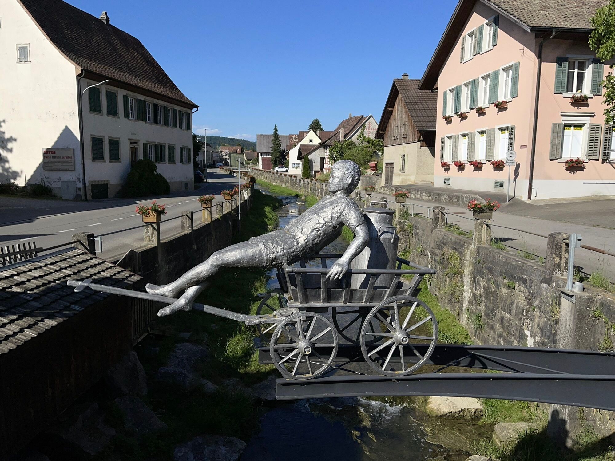
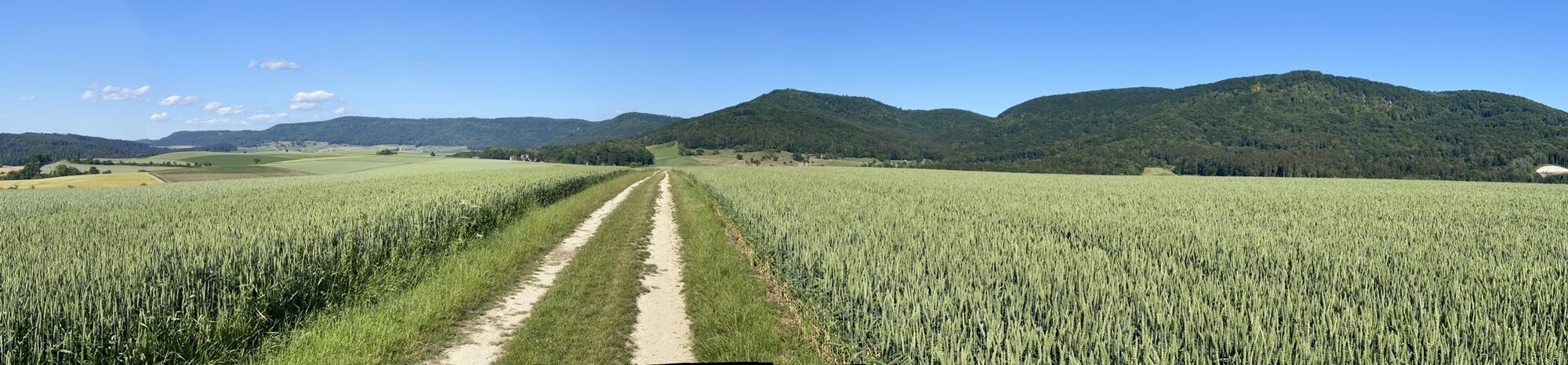
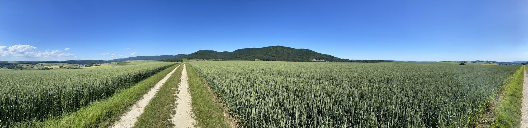
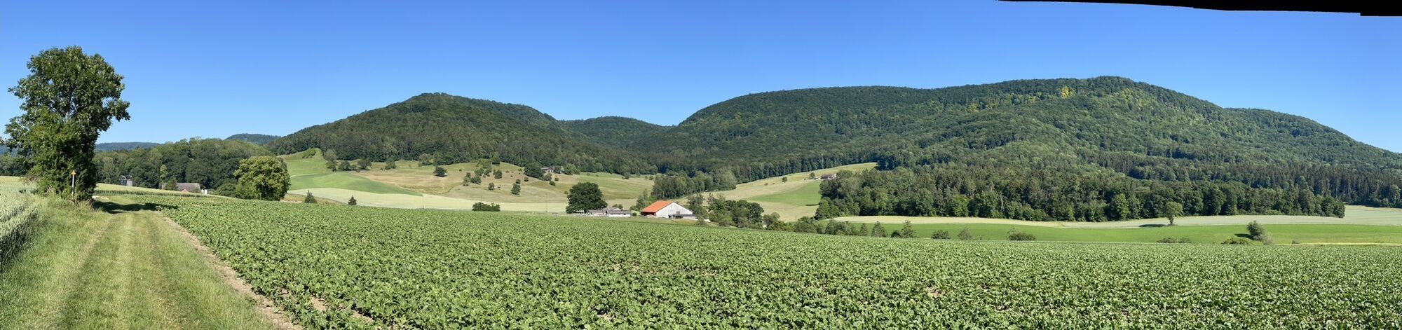
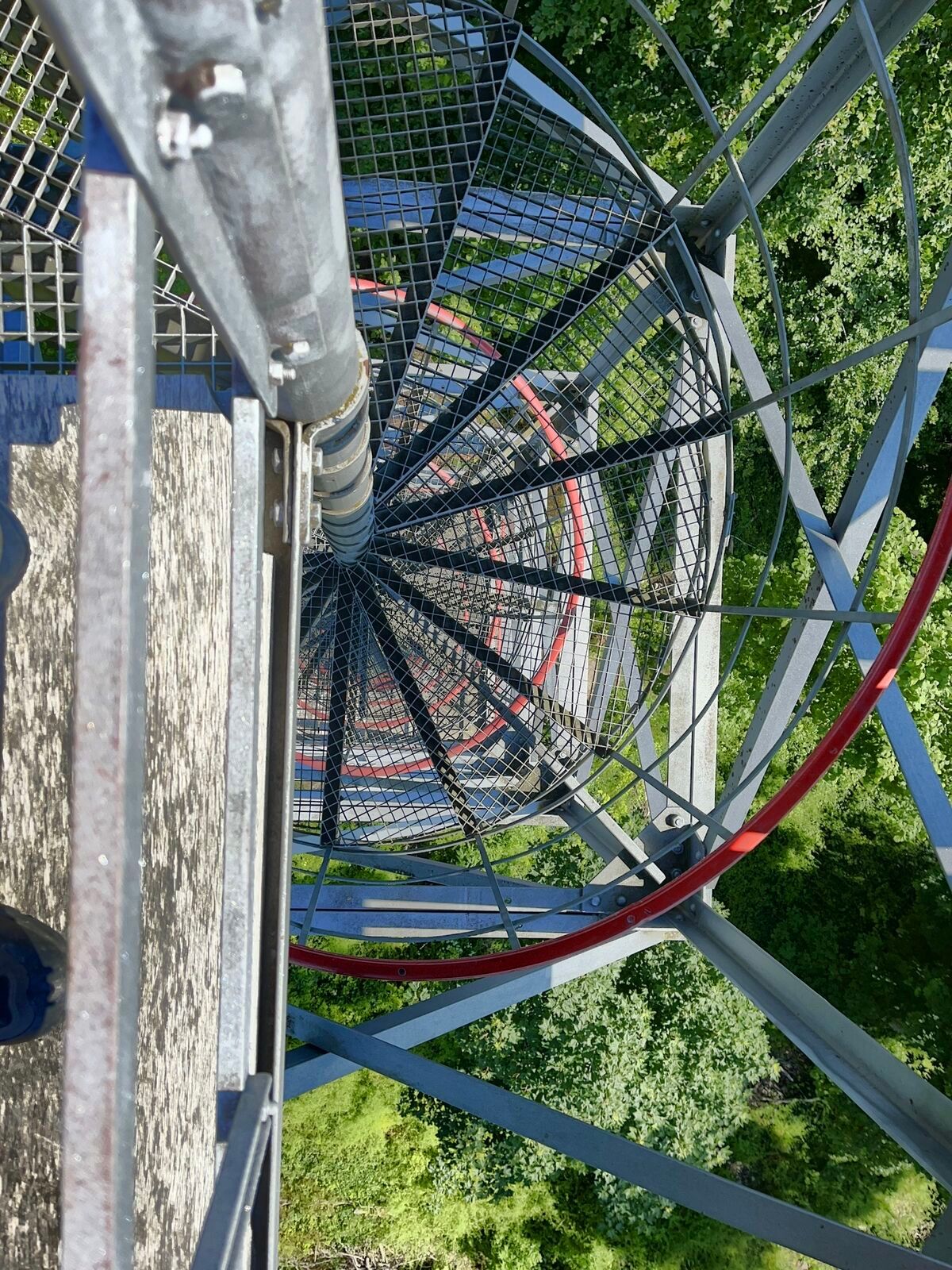
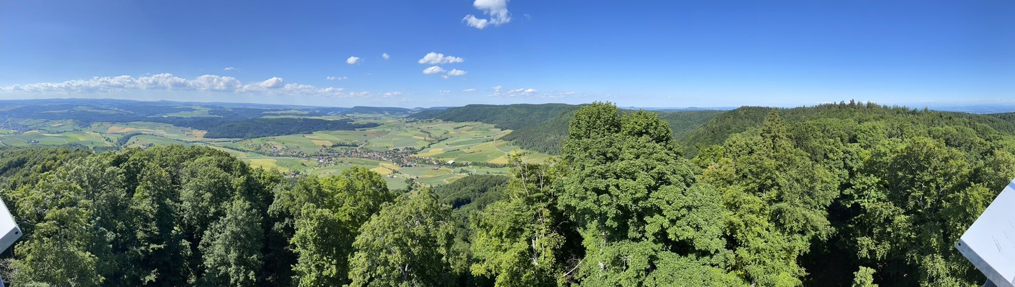
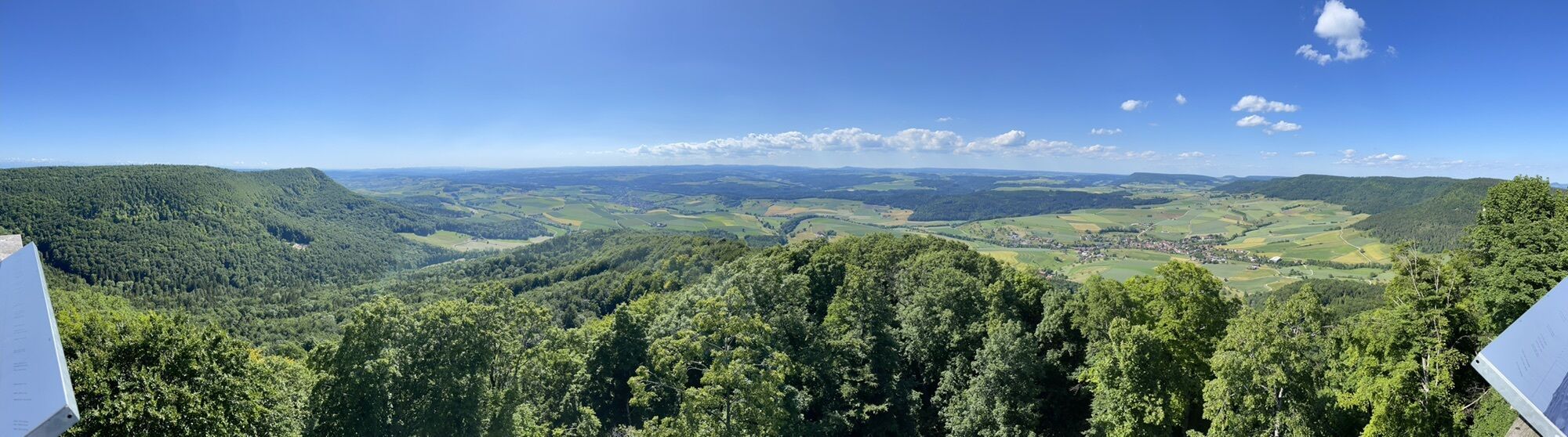
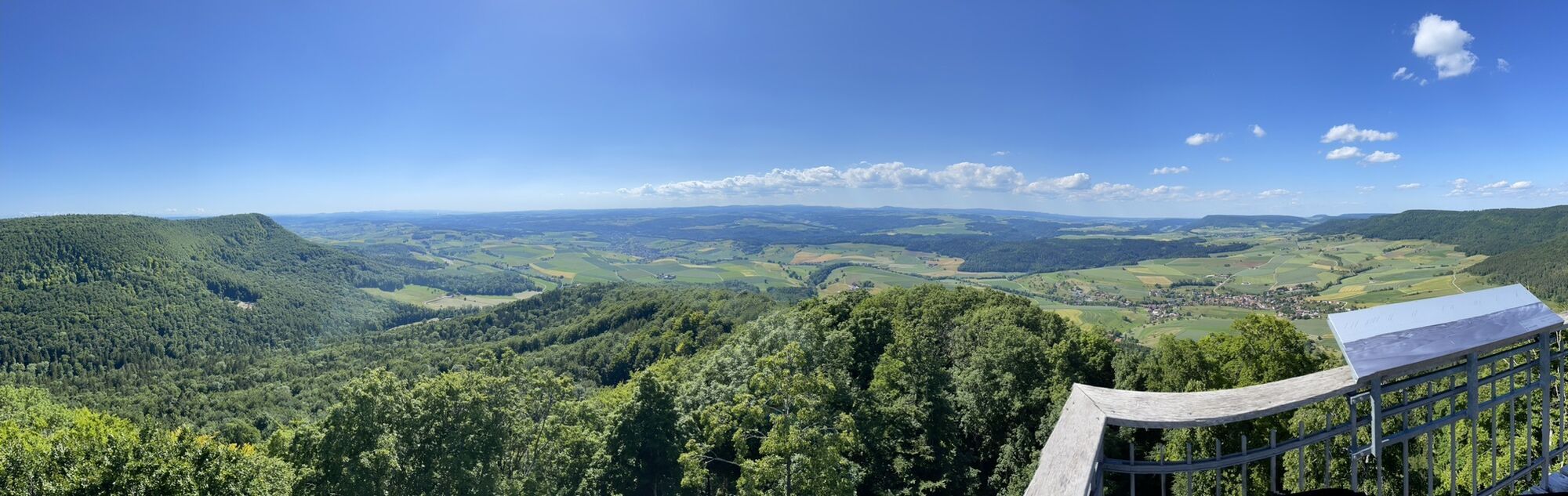
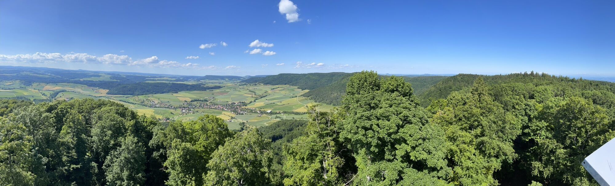
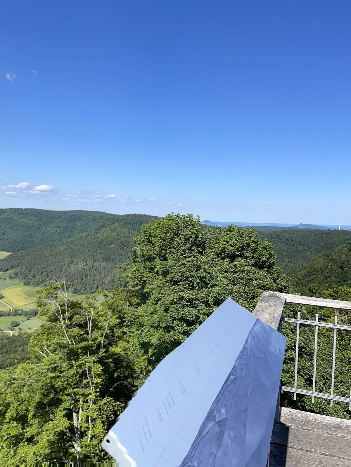
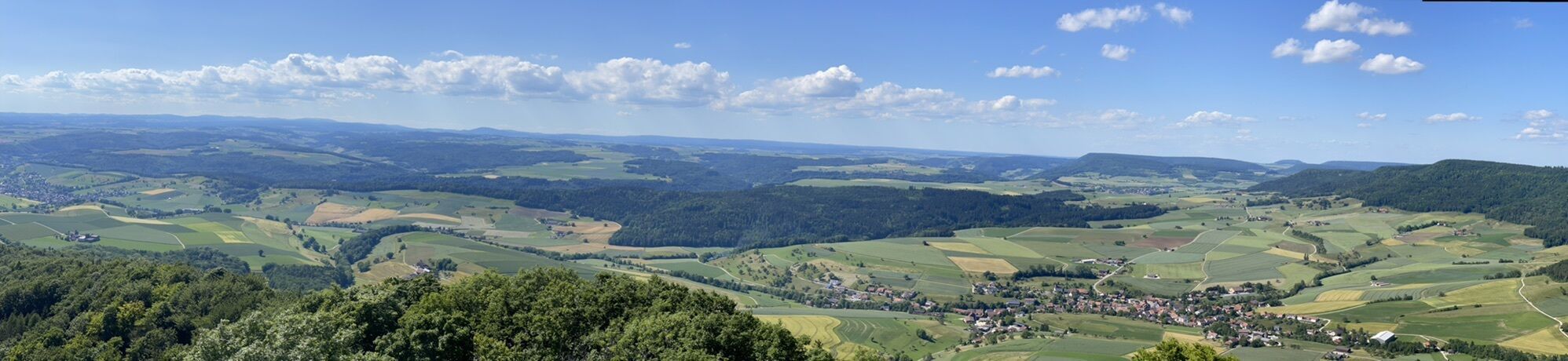
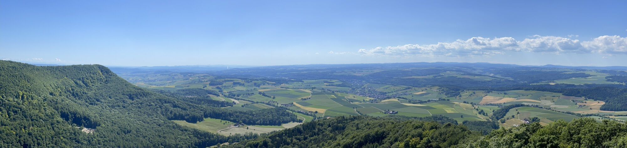
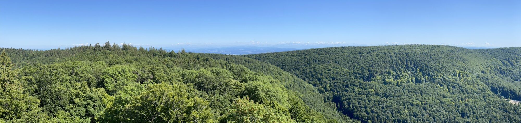

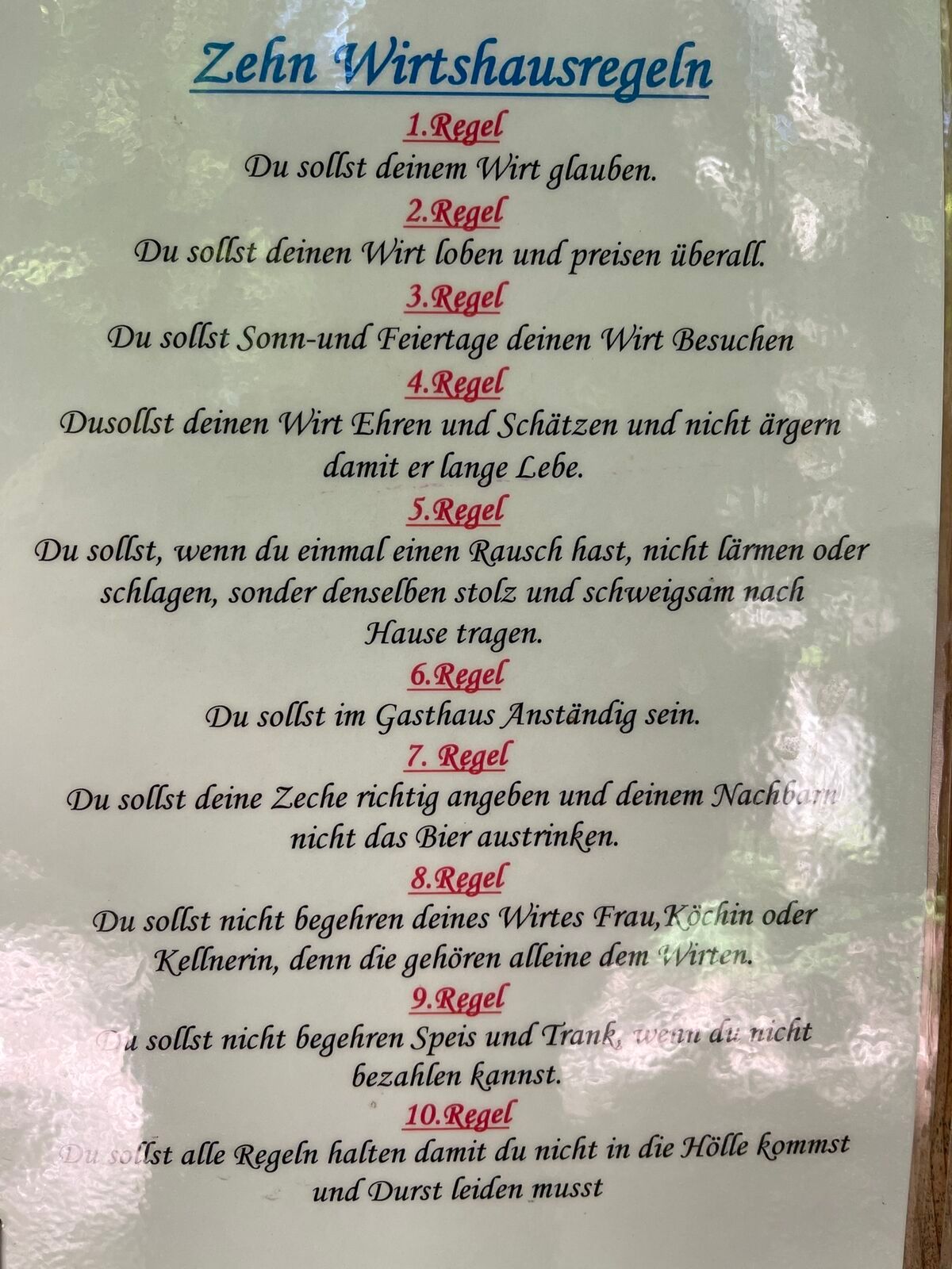
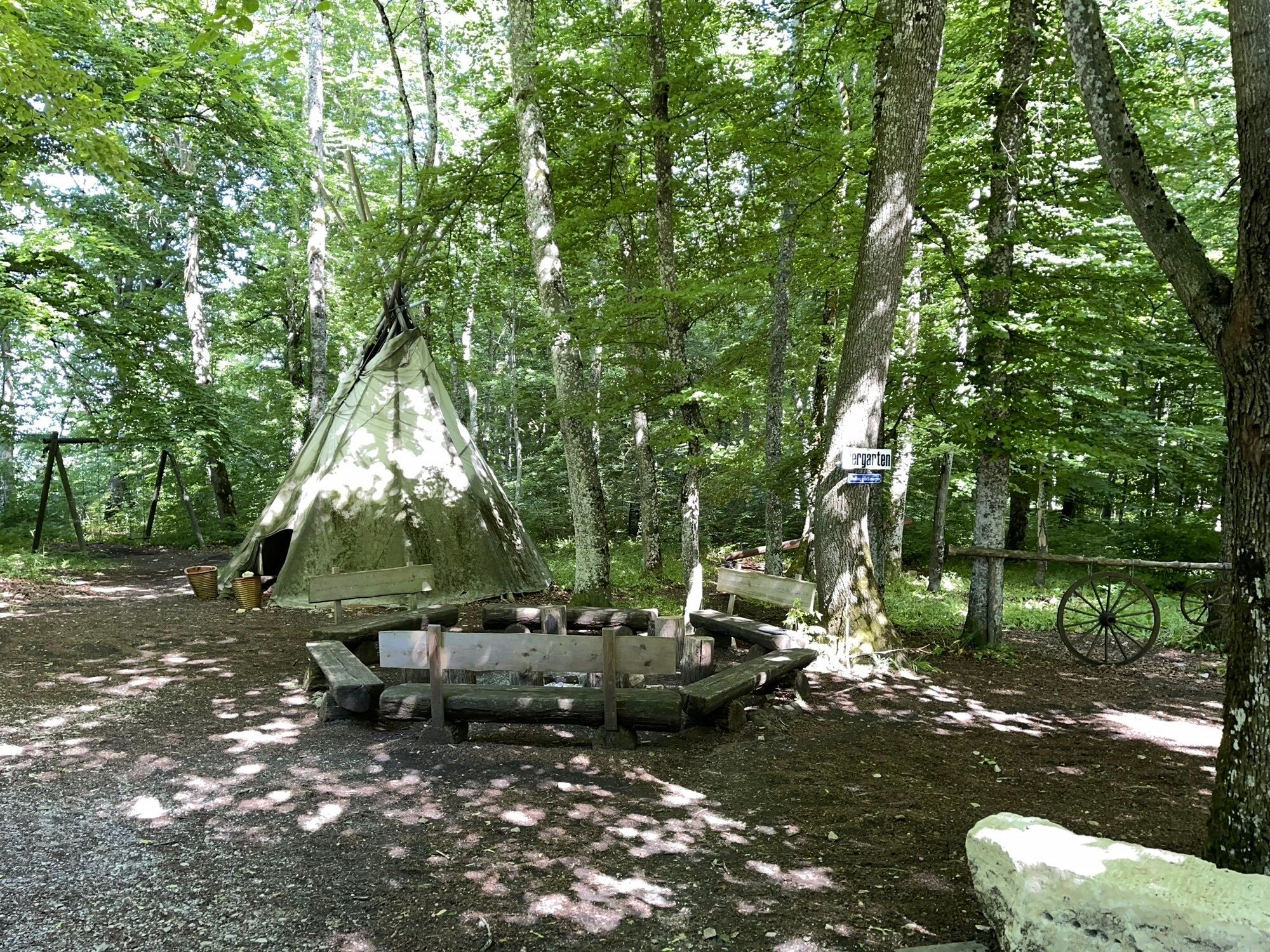
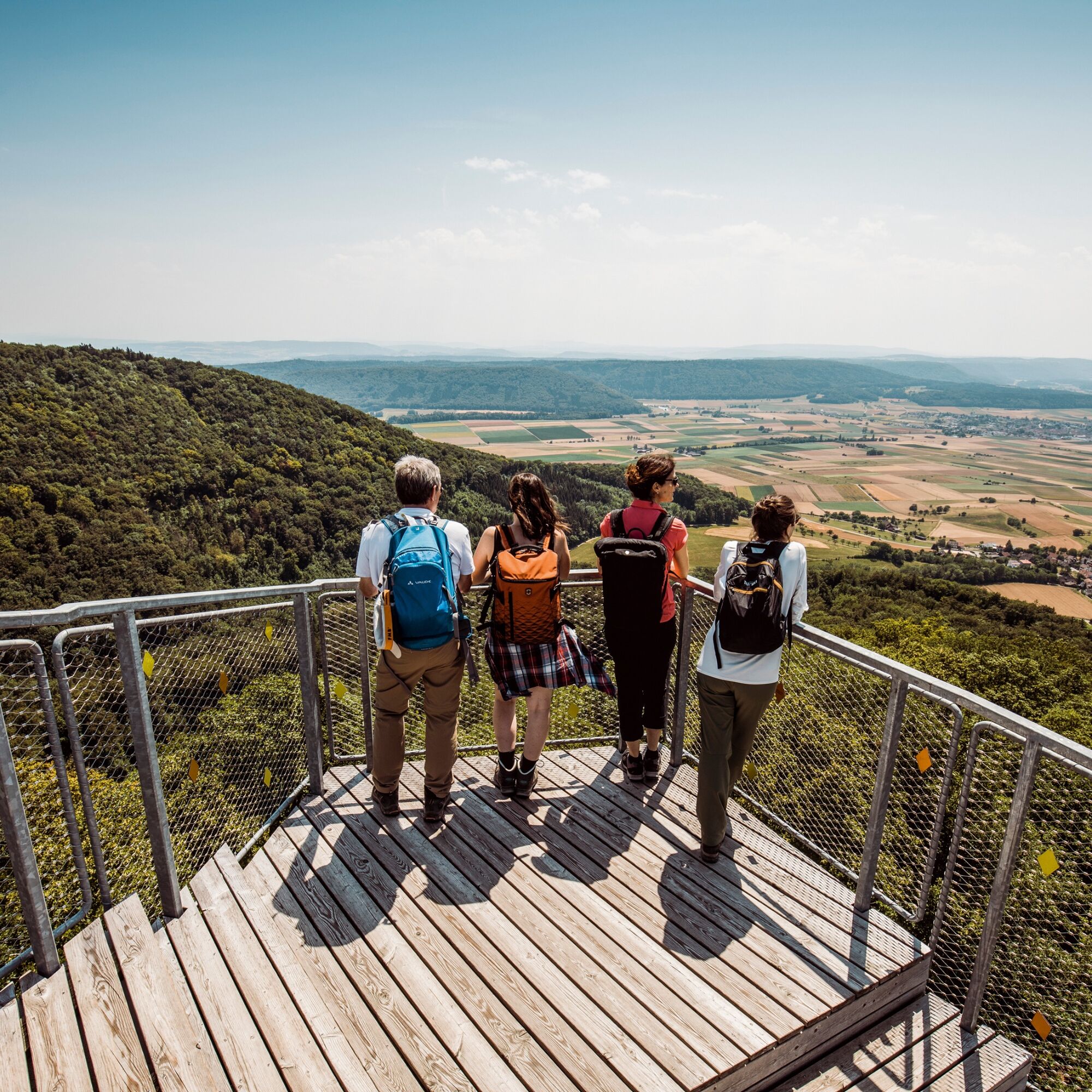
Climb the steps of the two Randentürme above Schleitheim and Siblingen and enjoy the excellent panoramic view over the Randen area, the surrounding villages, and the Black Forest. Along the way, various...

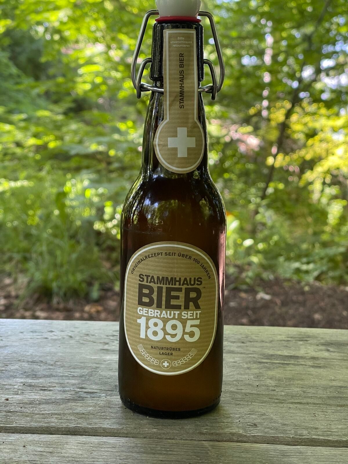
On weekends, we reward ourselves with a refreshing drink from the host at the Waldwirtschaft Schlossranden and then take the now flat path, passing the family-favorite Zelgliwiese, towards the Siblinger Randenhaus.
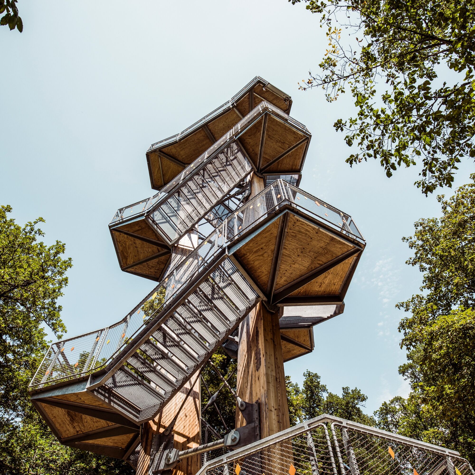
Enjoy a moment of wide-ranging views towards the Swiss Alps or the well-known gastronomy. The final stage now leads you past the modern tower architecture of the Siblinger Randenturm, with views of the Klettgau wine villages, before the initially steep path and then flat natural path guide you towards Siblingen.
Hiking equipment, provisions.
The descent from the Siblinger Randenturm to Siblingen is very steep in some places.
Parking available in Schleitheim.
Siblinger Randenhaus
Siblinger Randenturm

Popularne wycieczki w okolicy
-
4,7
Small Rheinfall Circular Route
światłoWędrówka 3,48 km -
3,8
"Hegauer Kegelspiel" Wannenberg hike
średniWędrówka 9,35 km -
4,8
Rundwanderweg Rheinau
światłoWędrówka 6,85 km -
Circular hike Schaffhausen - Rhine Falls - Schaffhausen
średniWędrówka 10,0 km -
SwitzerlandMobility 896: Rhine Falls Circular Route
średniWędrówka 7,39 km -
5,0
Circular hike over the Hinterranden
średniWędrówka 11,0 km -
4,5
Nature trail Merishausen: Brown route
średniTrasa tematyczna 11,4 km -
4,5
SchweizMobil 593: Nordspitze Panoramaweg
średniWędrówka 13,7 km -
4,2
Genießerpfad Sauschwänzle-Weg
średniWędrówka 12,5 km -
5,0
Querweg Freiburg - Bodensee: Schattenmühle – Blumberg
średniWędrówka 21,4 km
Wędrówki i tropienie


Nie przegap ofert i inspiracji na następne wakacje
Twój adres e-mail została dodana do listy mailingowej.





