







Summit route combination Pizol + Hochwart at the Pizol
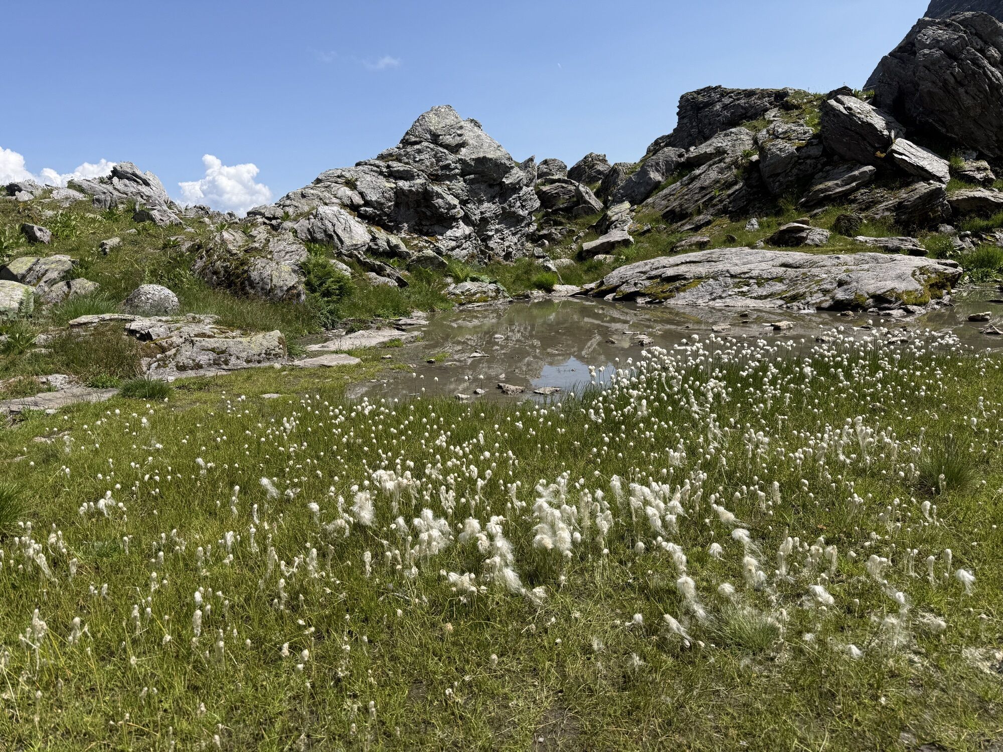
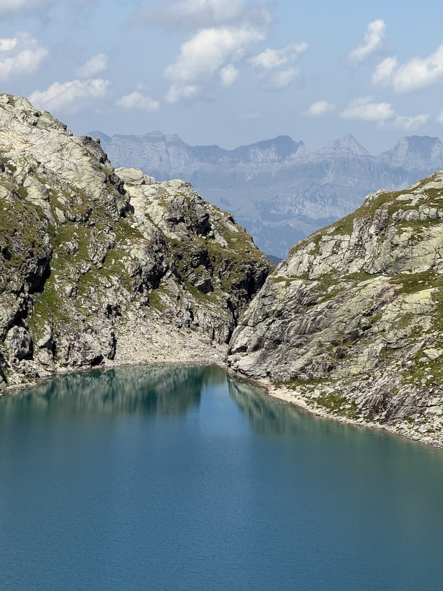
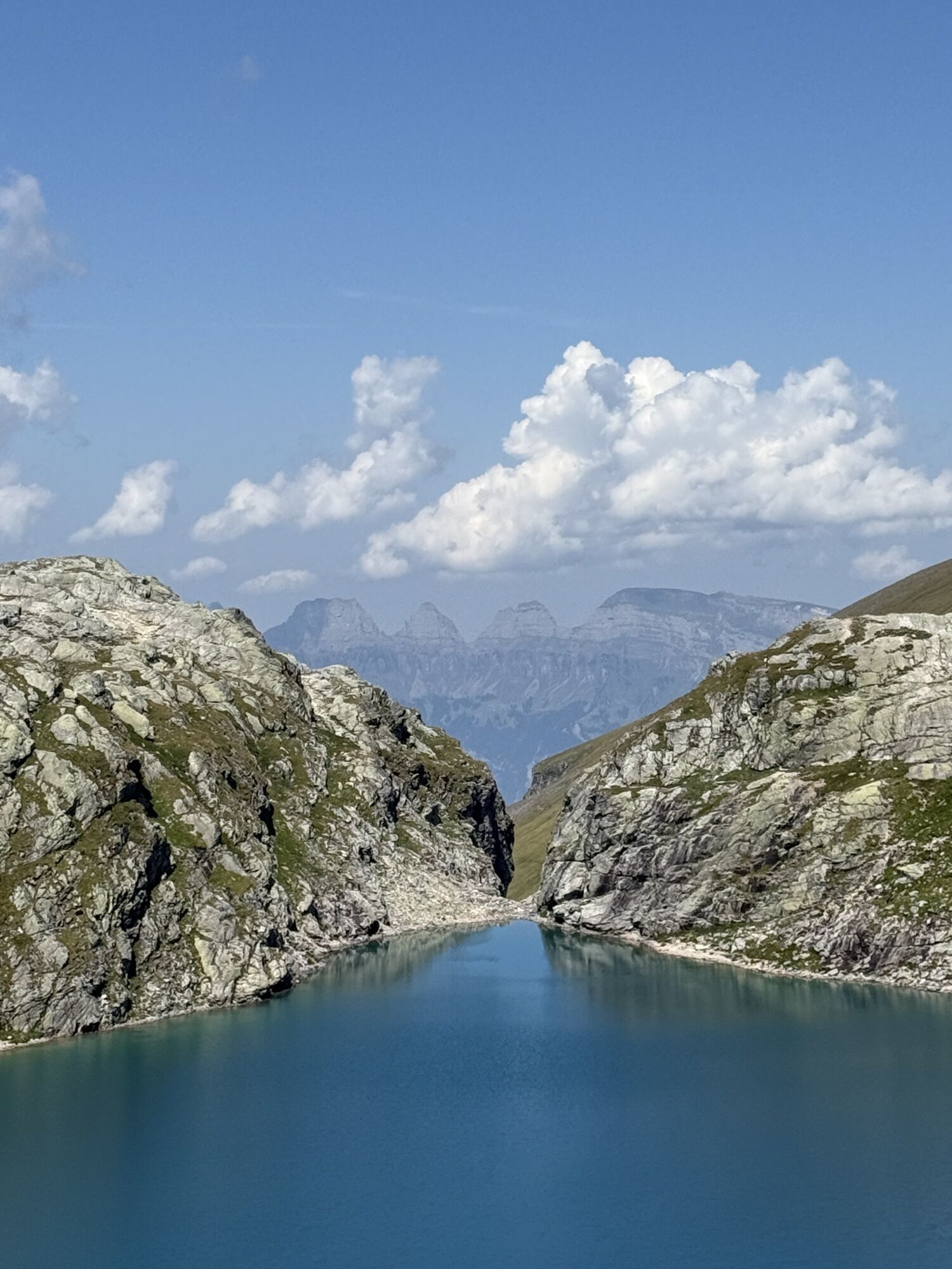
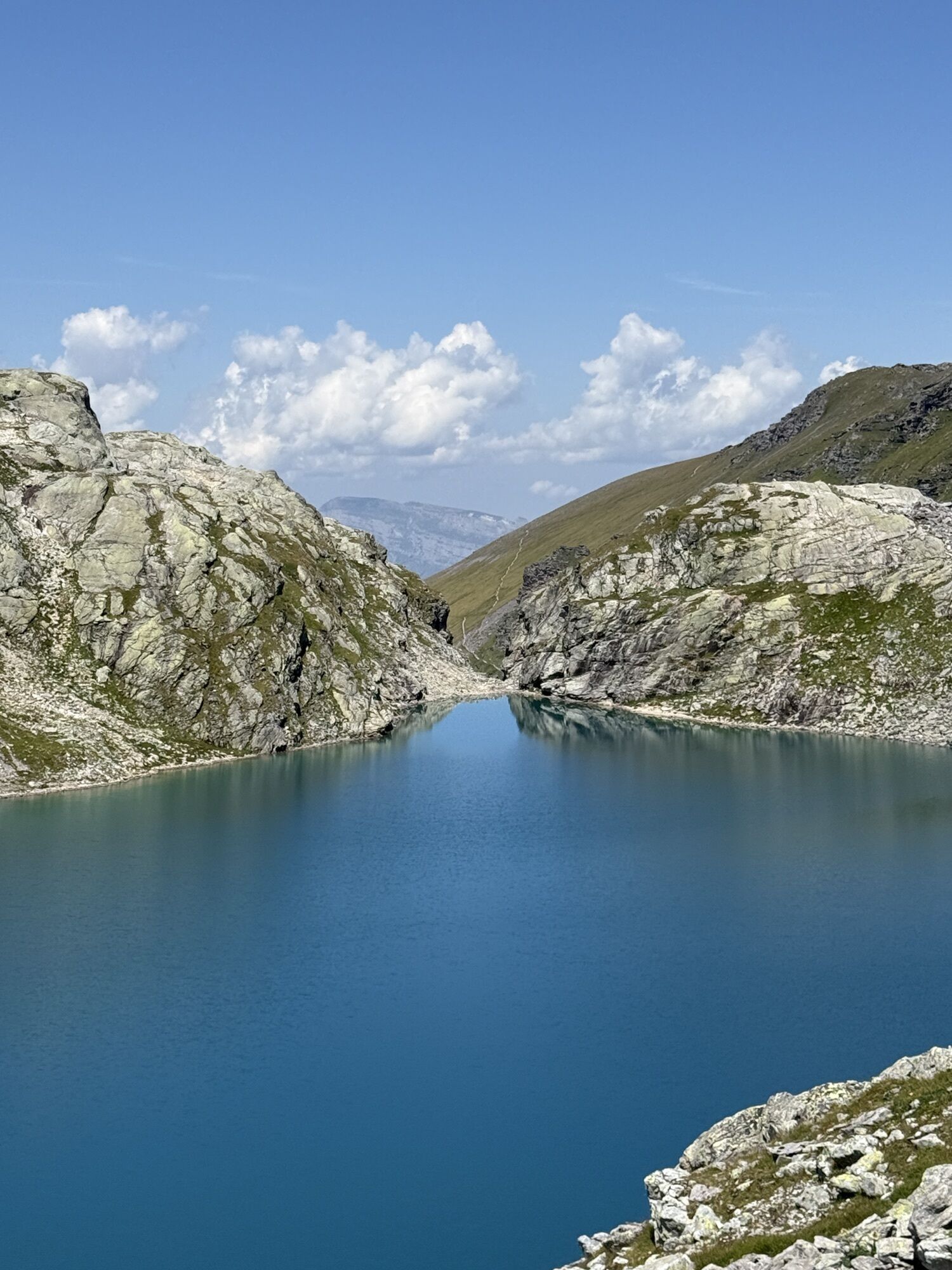

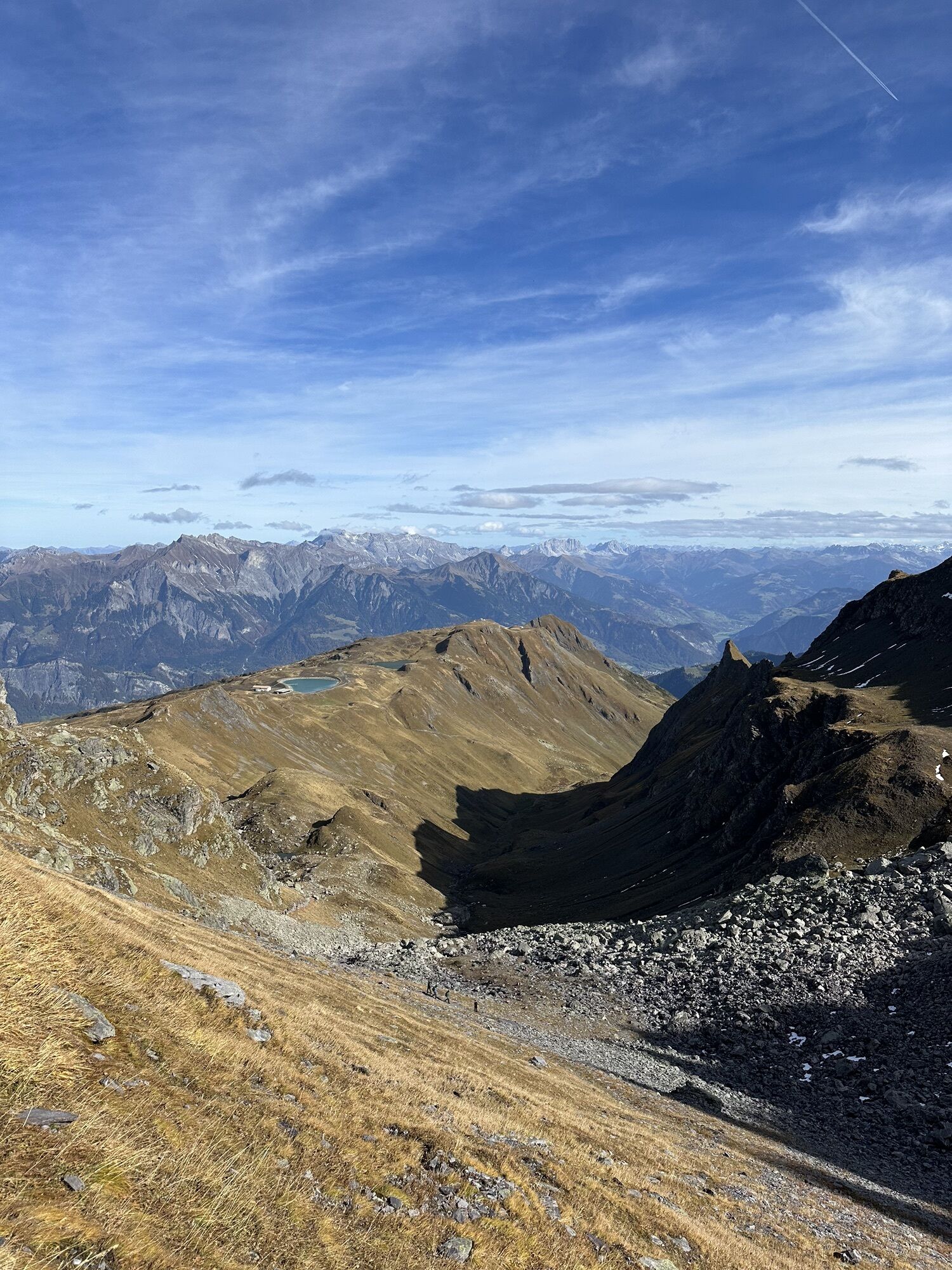
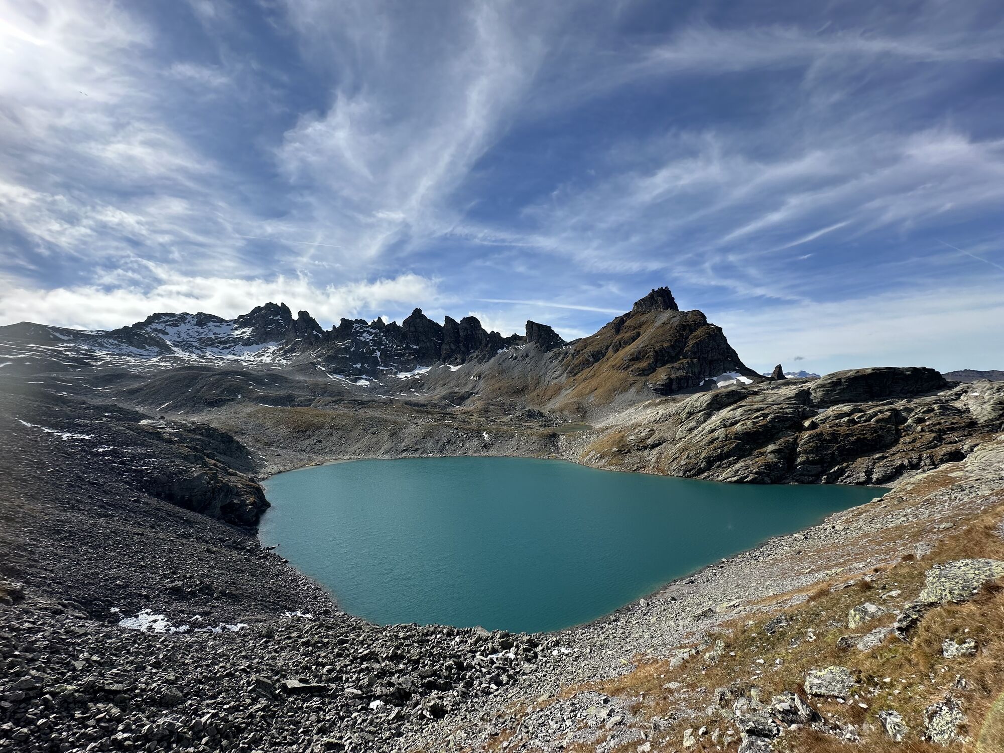
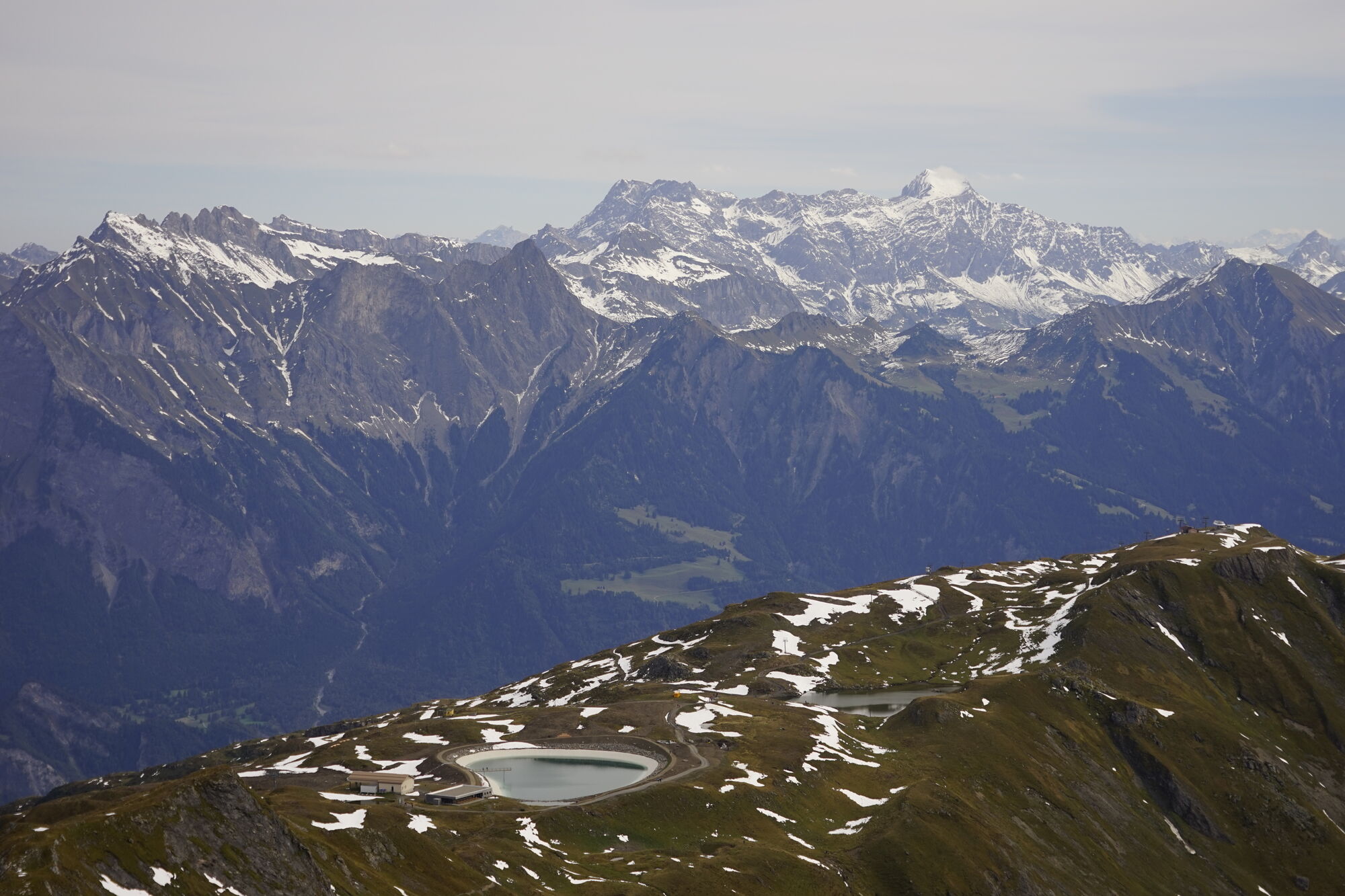
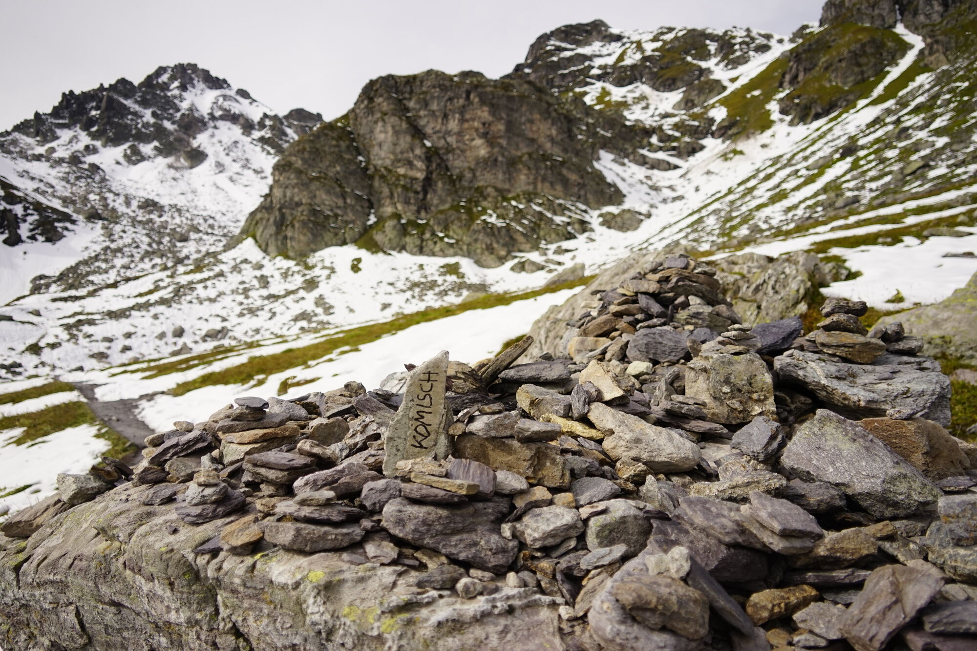
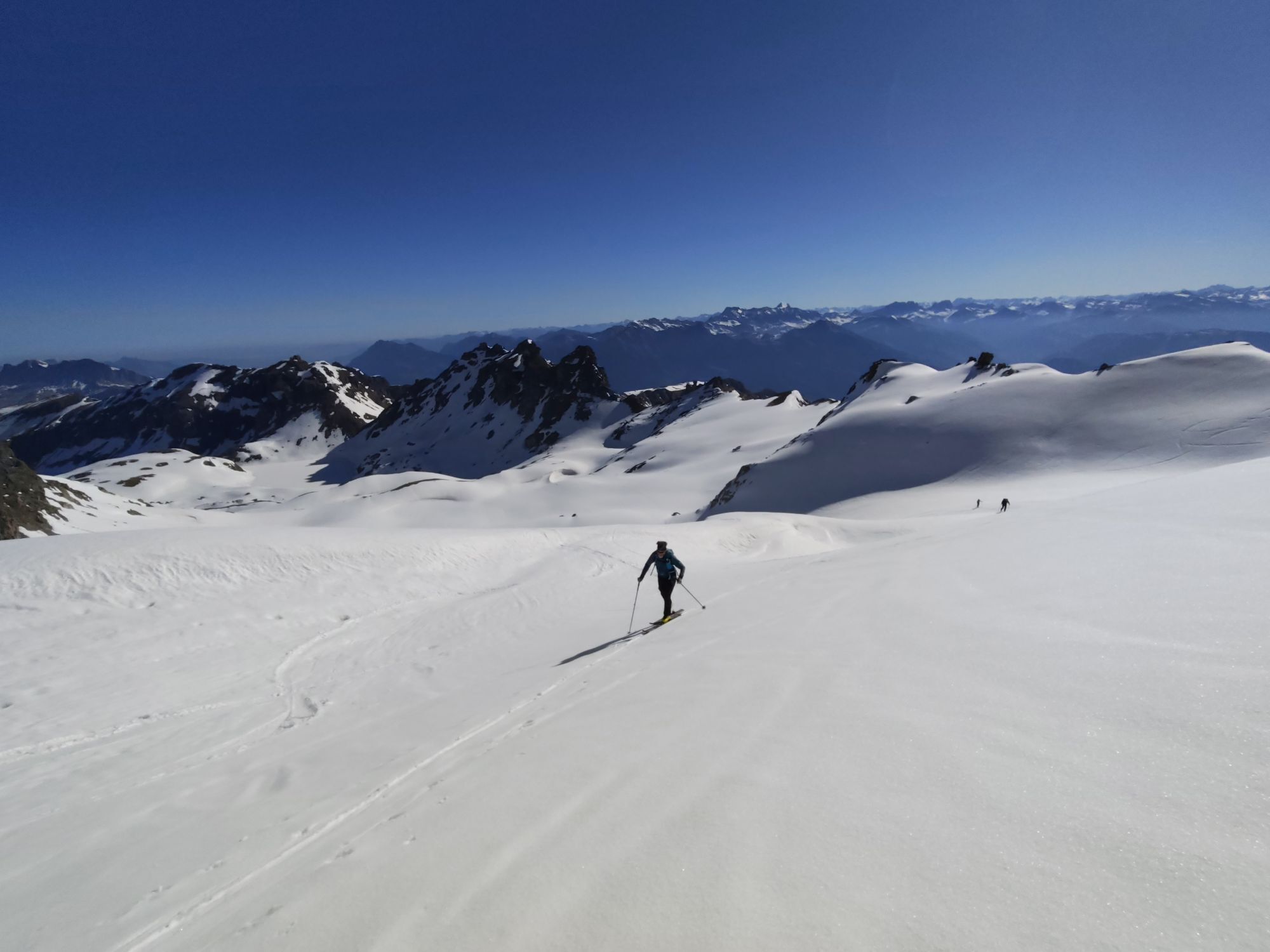
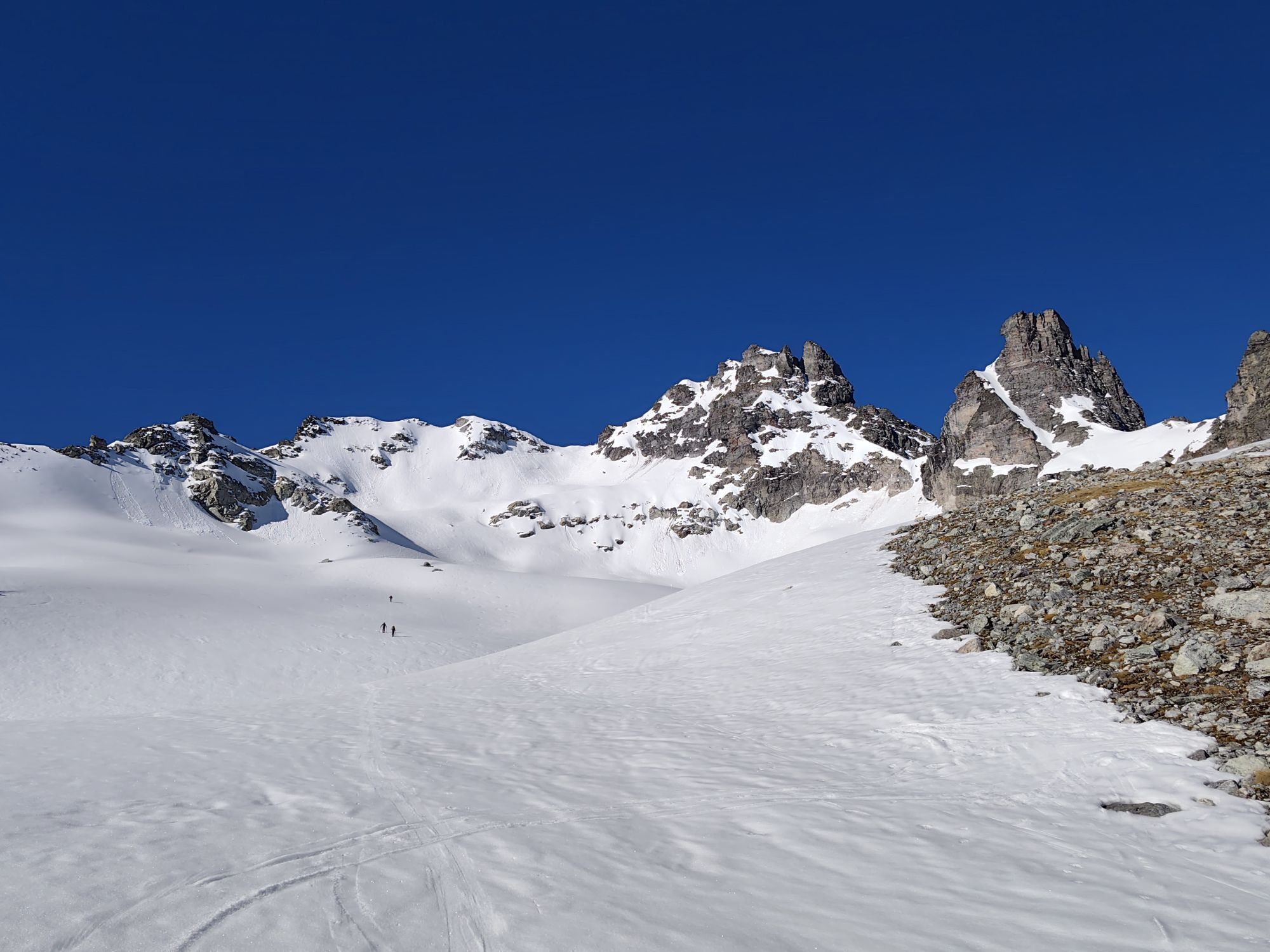
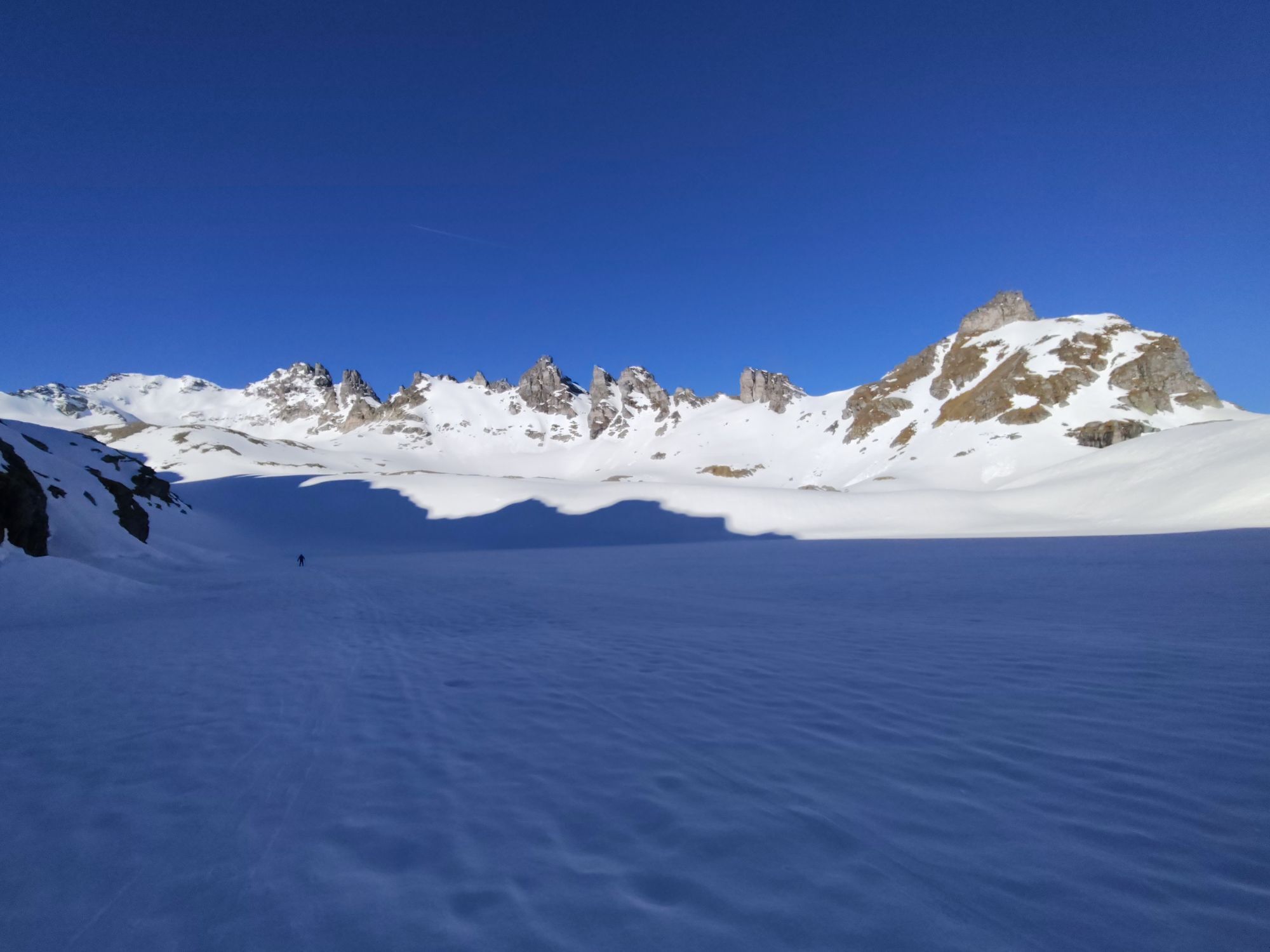
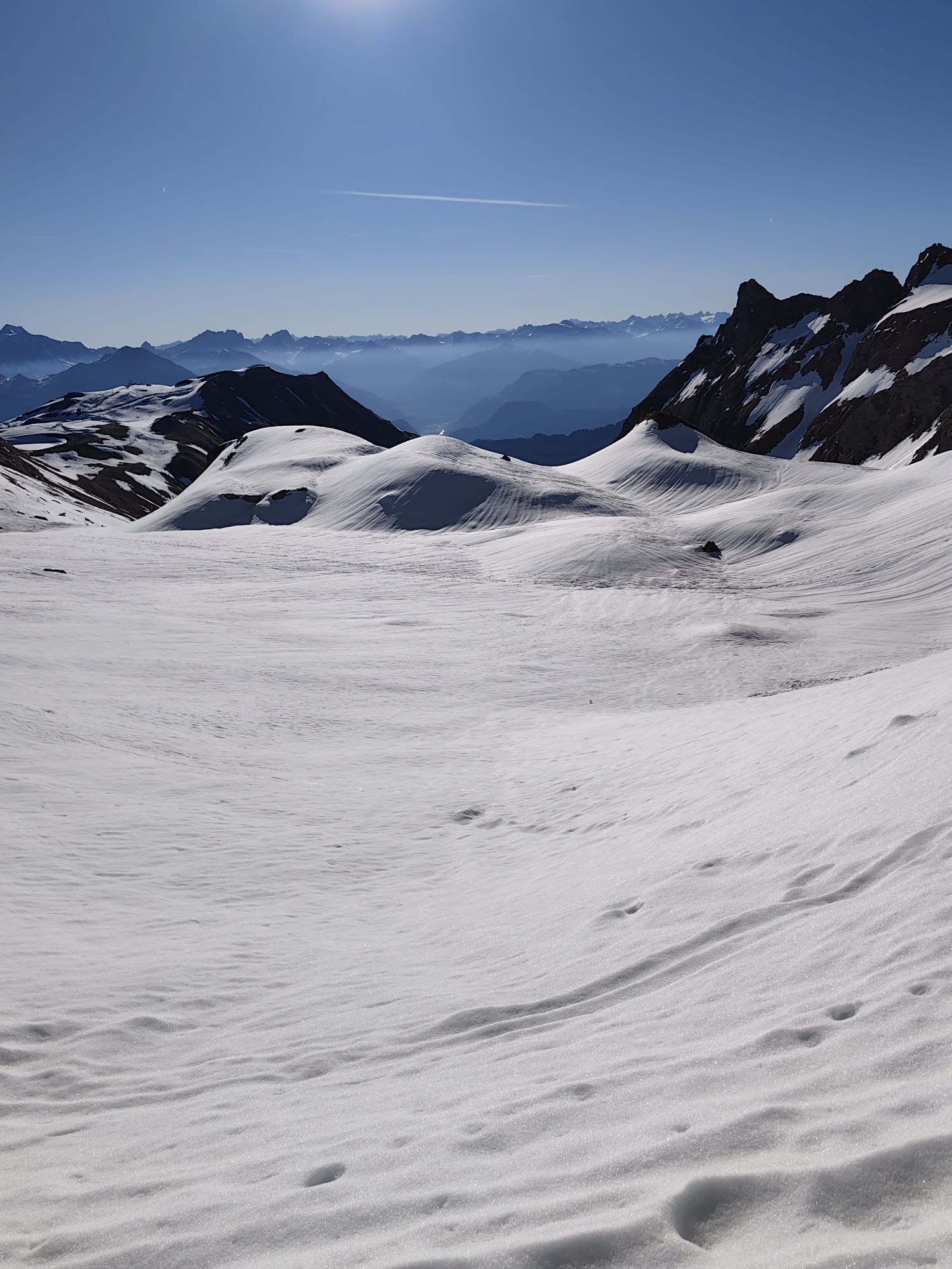
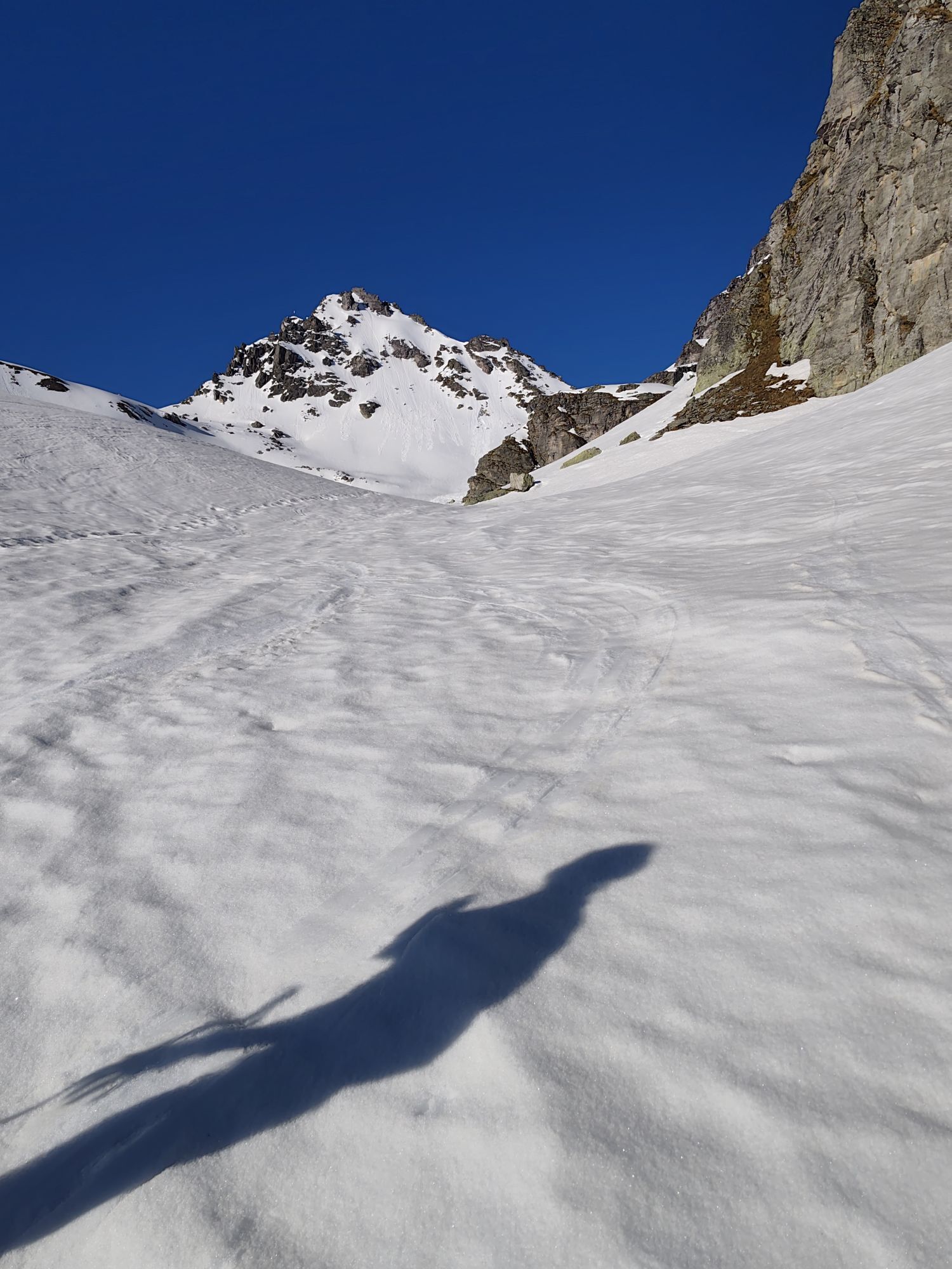
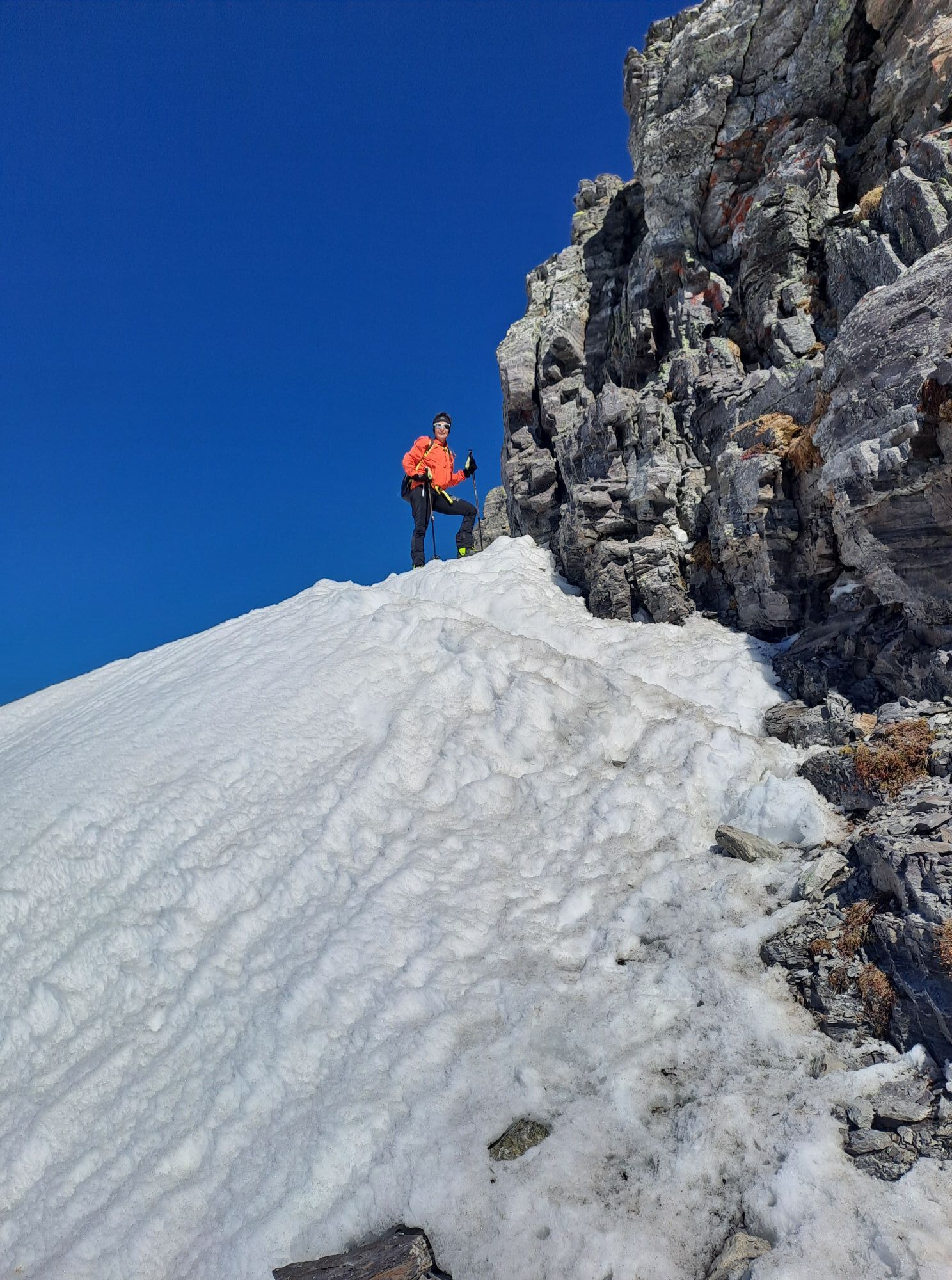
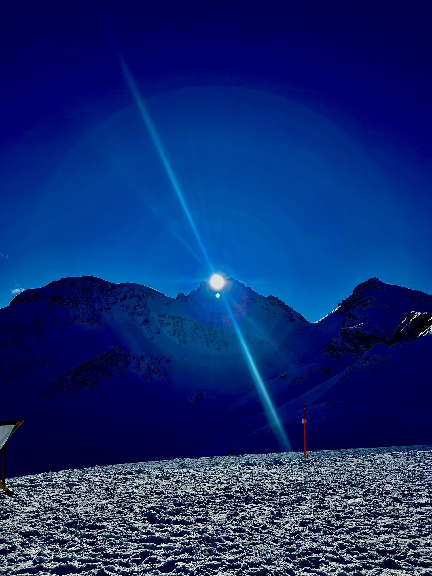
Majestically, the Pizol rises to 2,844 m above sea level over the ski and hiking area of the same name. On this route, we experience the well-known Wildsee, the striking mountain peaks in the background,...
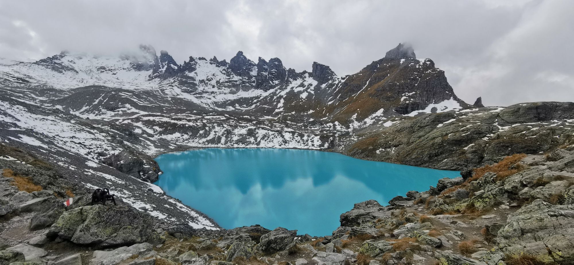
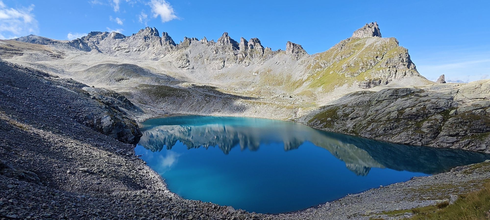
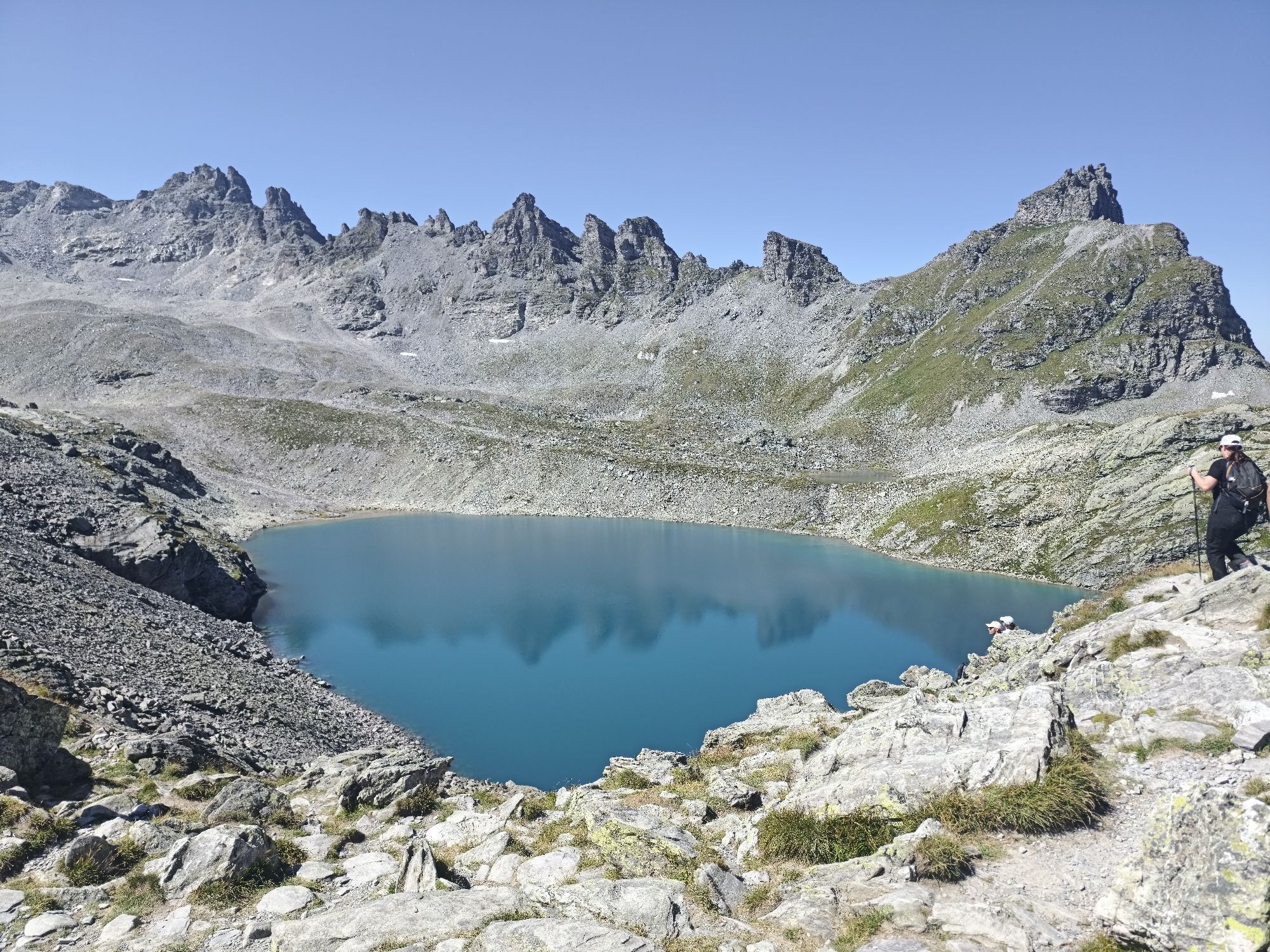
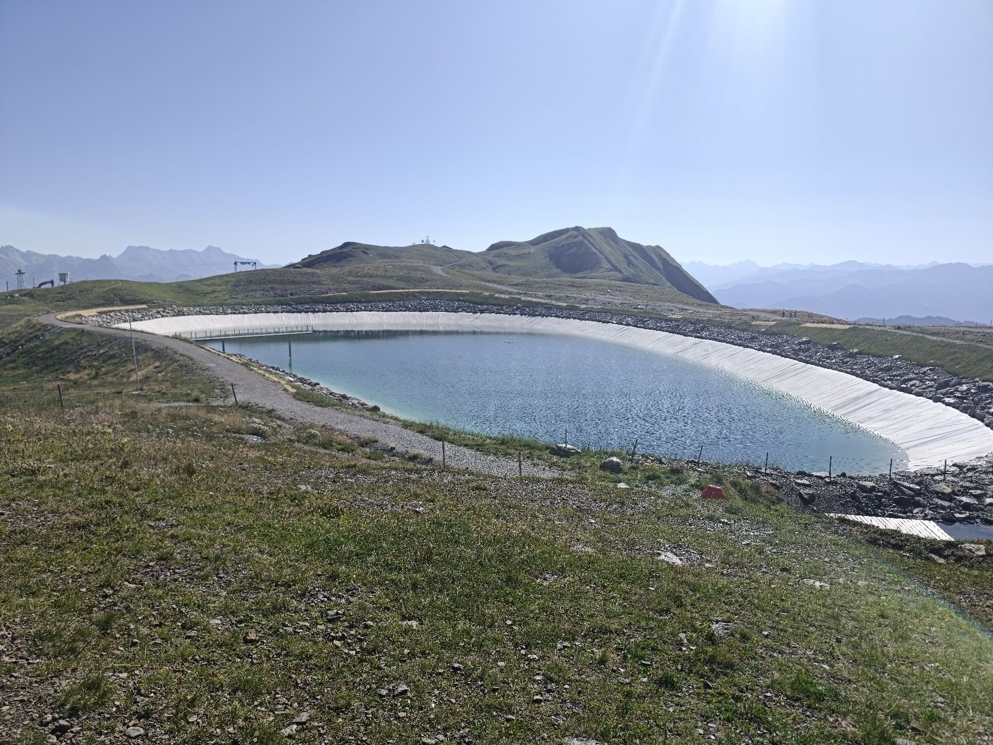
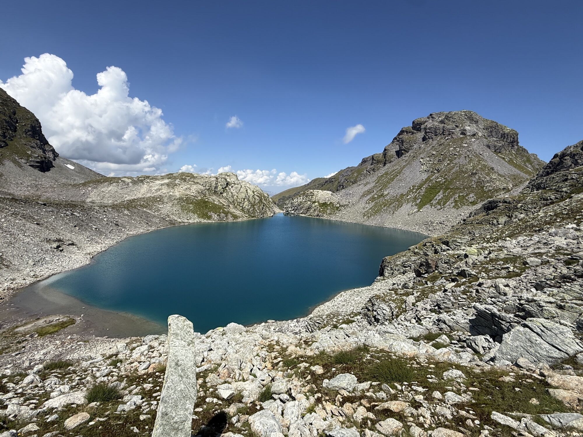
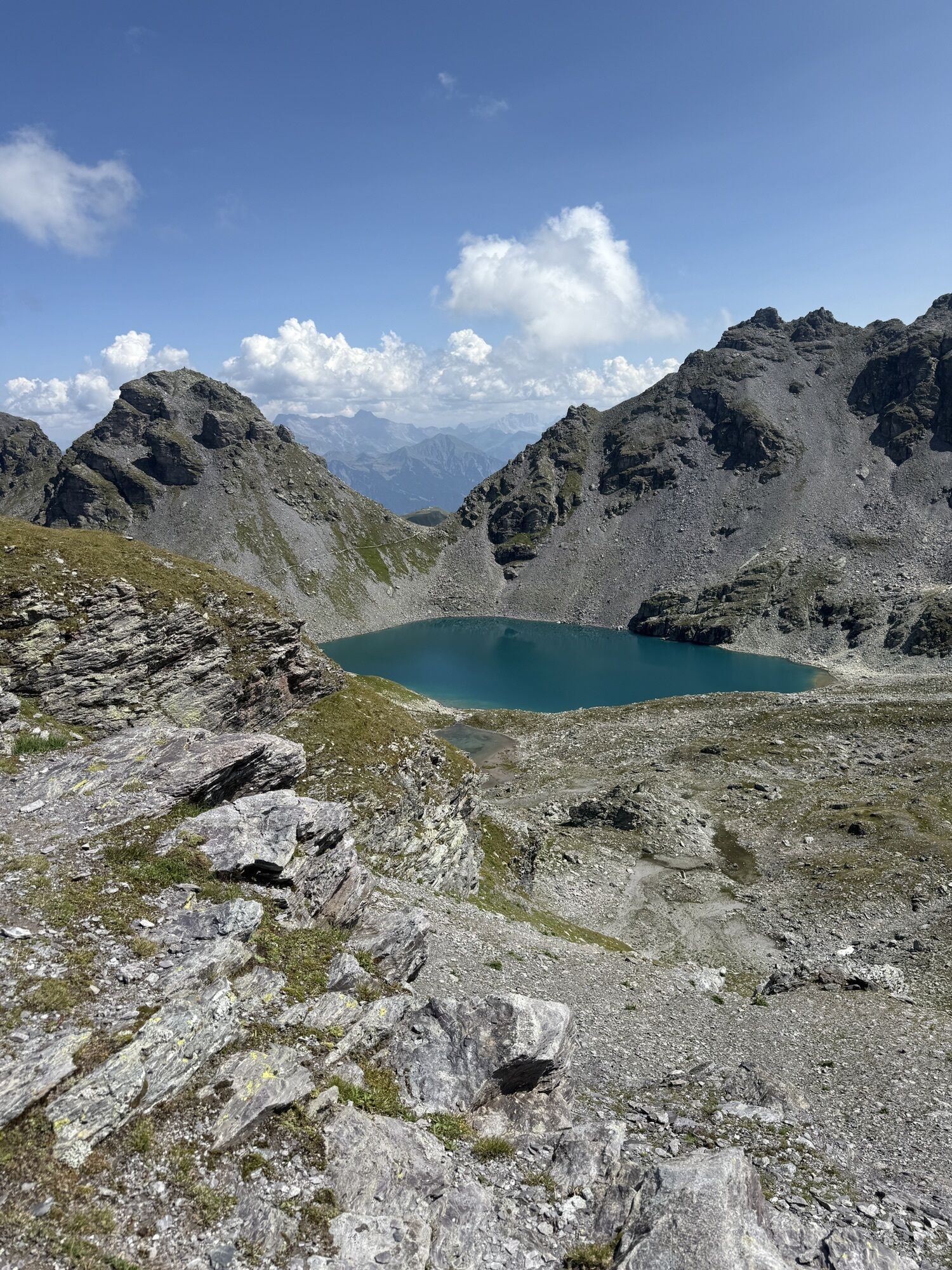
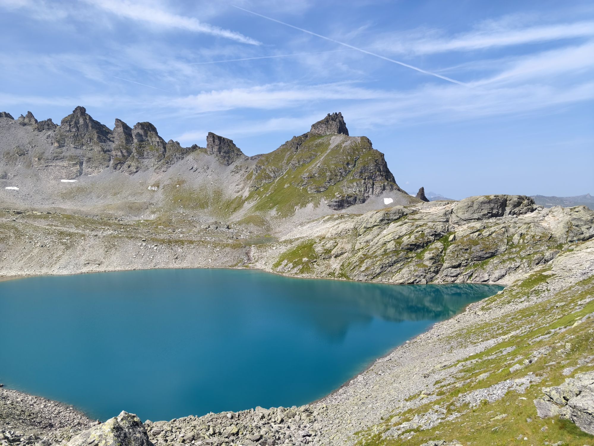
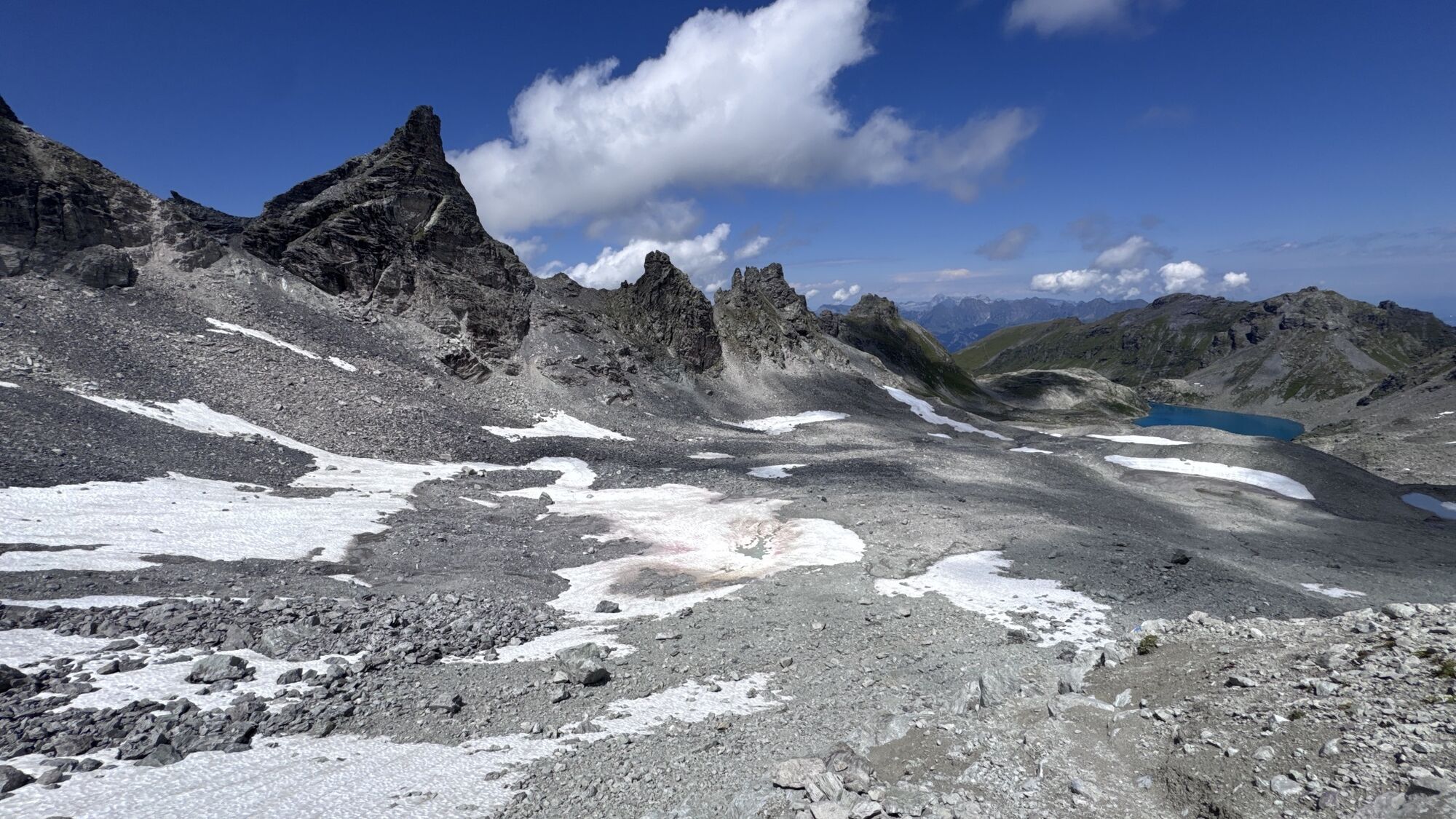
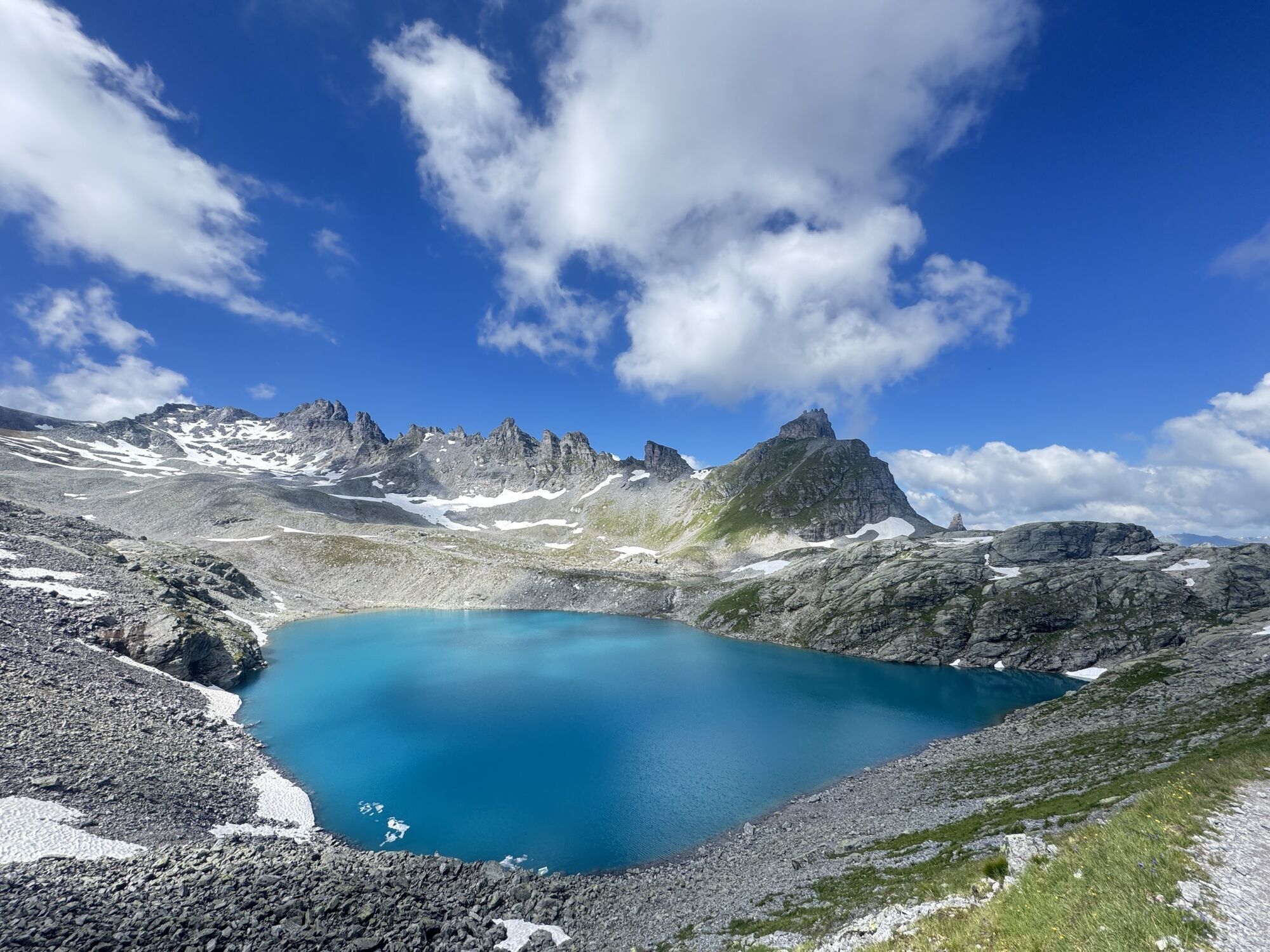
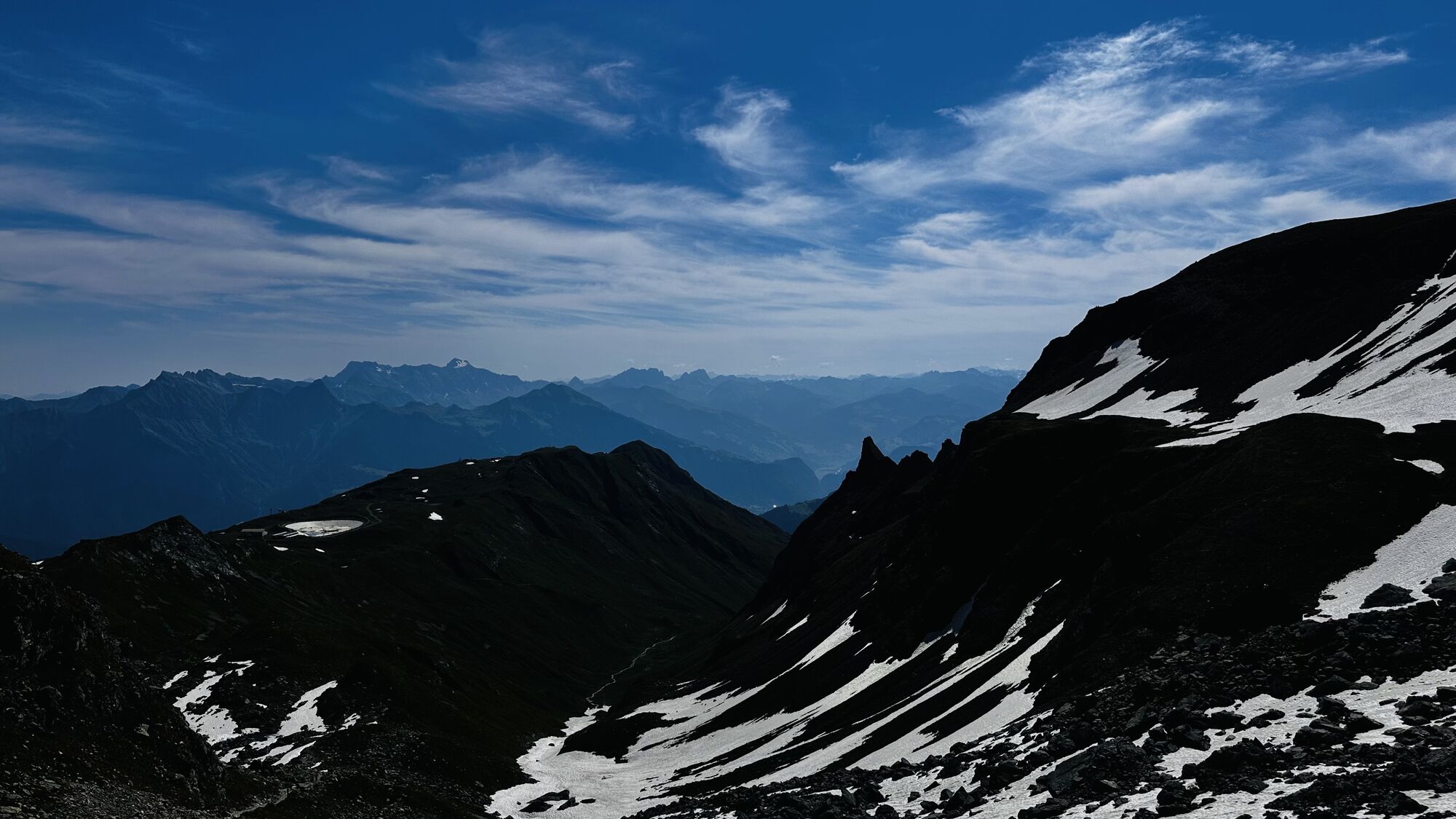
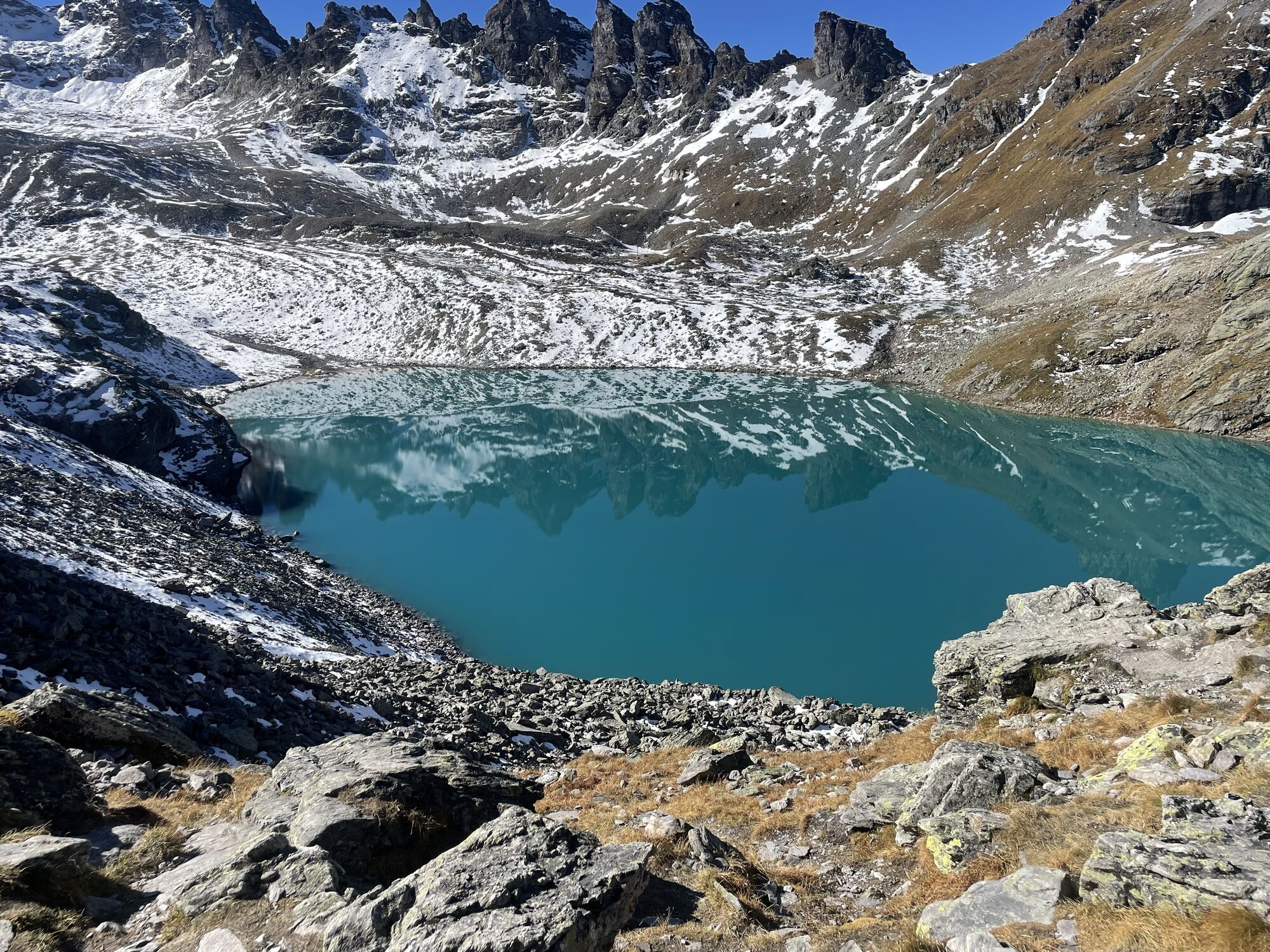
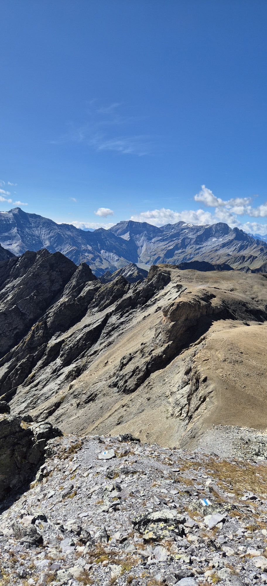
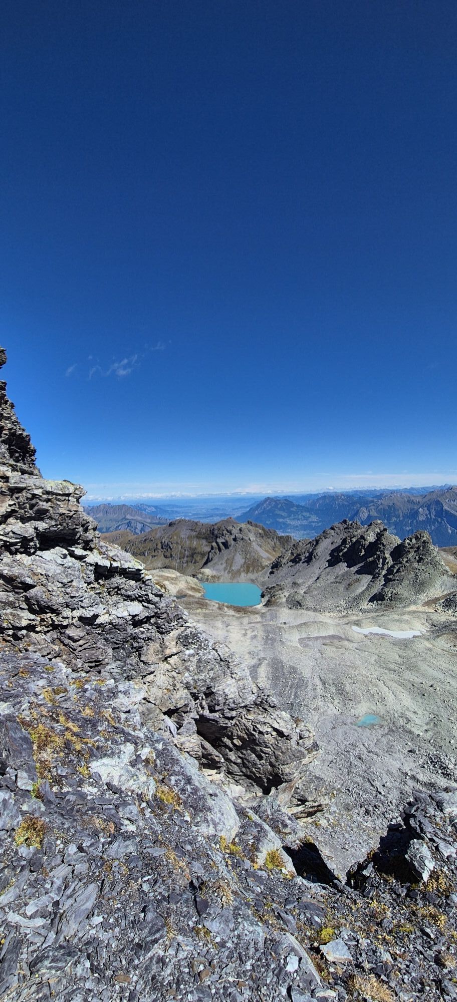
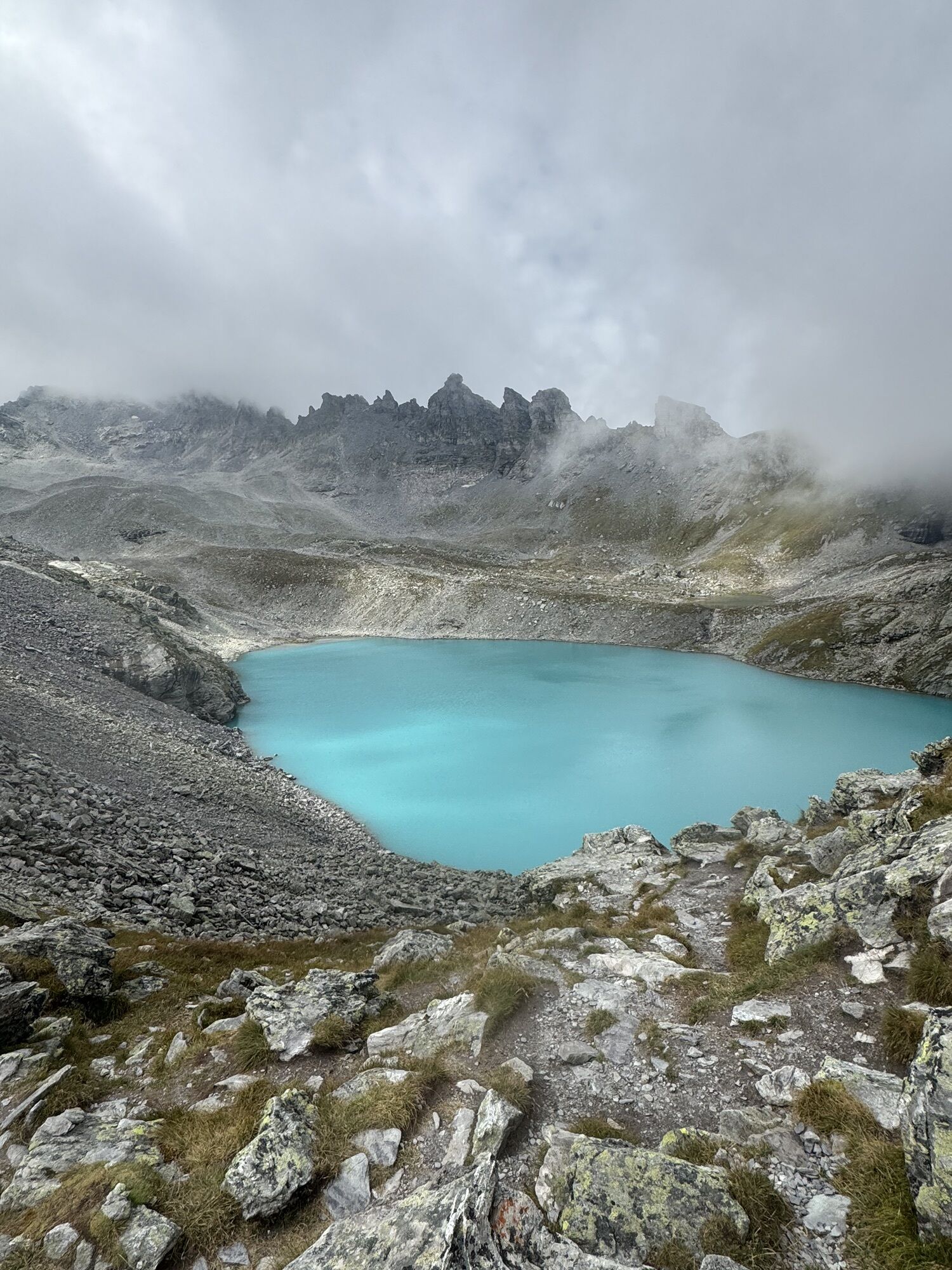
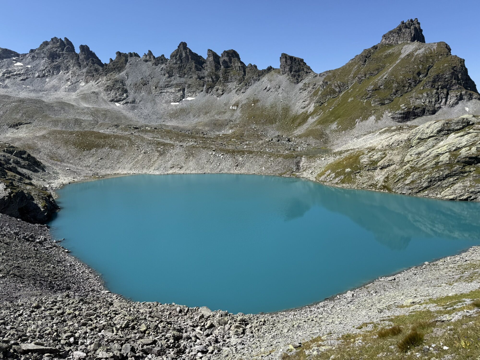
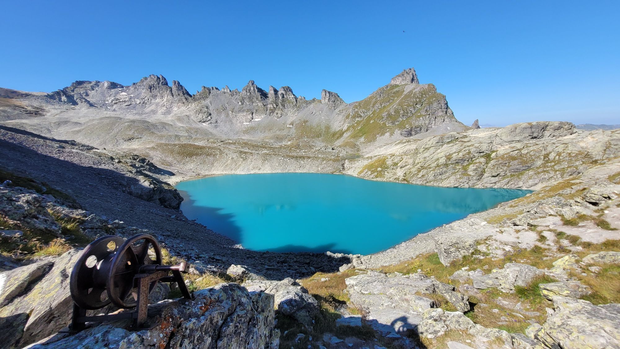
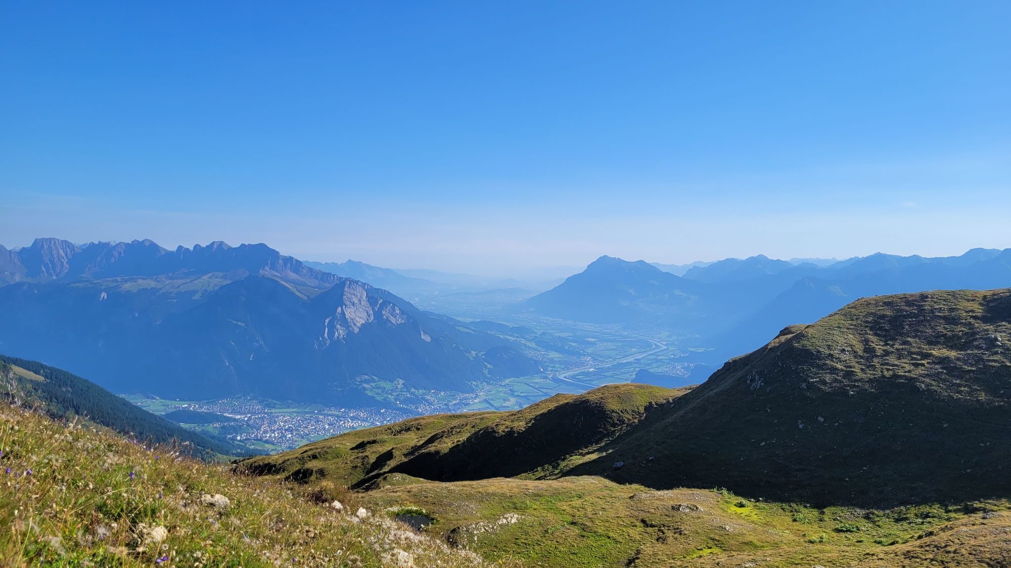
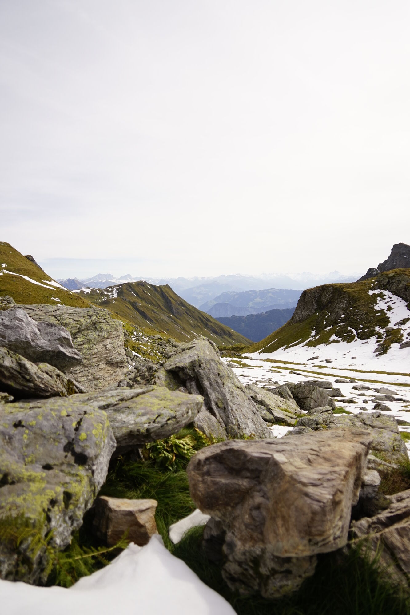
Majestically, the Pizol rises to 2,844 m above sea level over the ski and hiking area of the same name. On this route, we experience the well-known Wildsee, the striking mountain peaks in the background, and the rocky crater of the former Pizol glacier from various perspectives. From the Pizol summit, a dreamlike panoramic view opens up over the St. Gallen, Bündner, and Glarus mountain worlds. From the Hochwart, there is an impressive view of the Schottensee, the Schwarzplangg, the Pizol summit, and the Gaffara valley, where up to 600 sheep graze in the summer months.

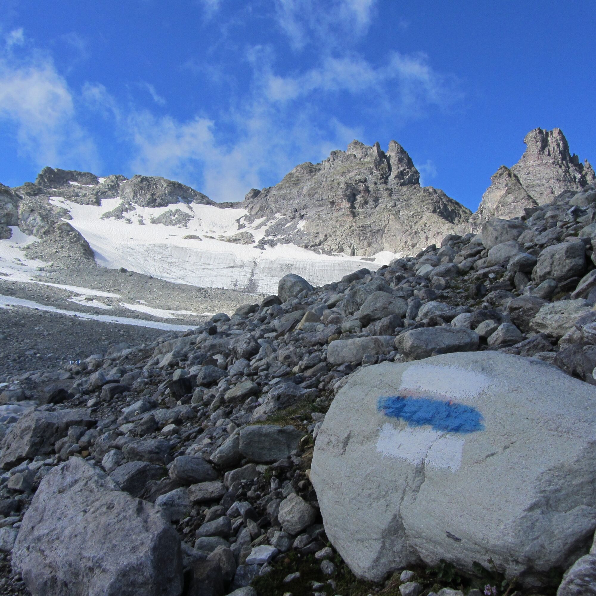

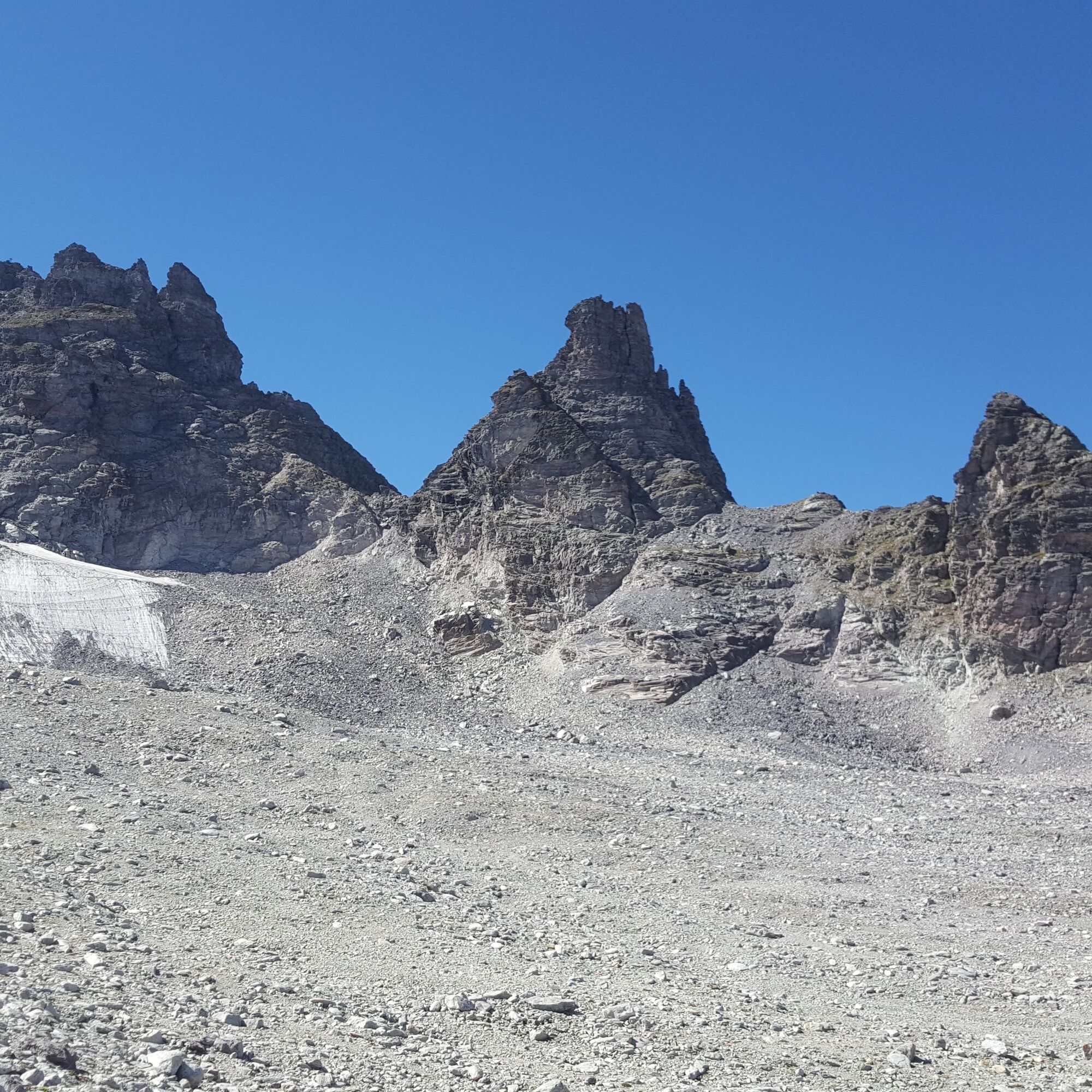
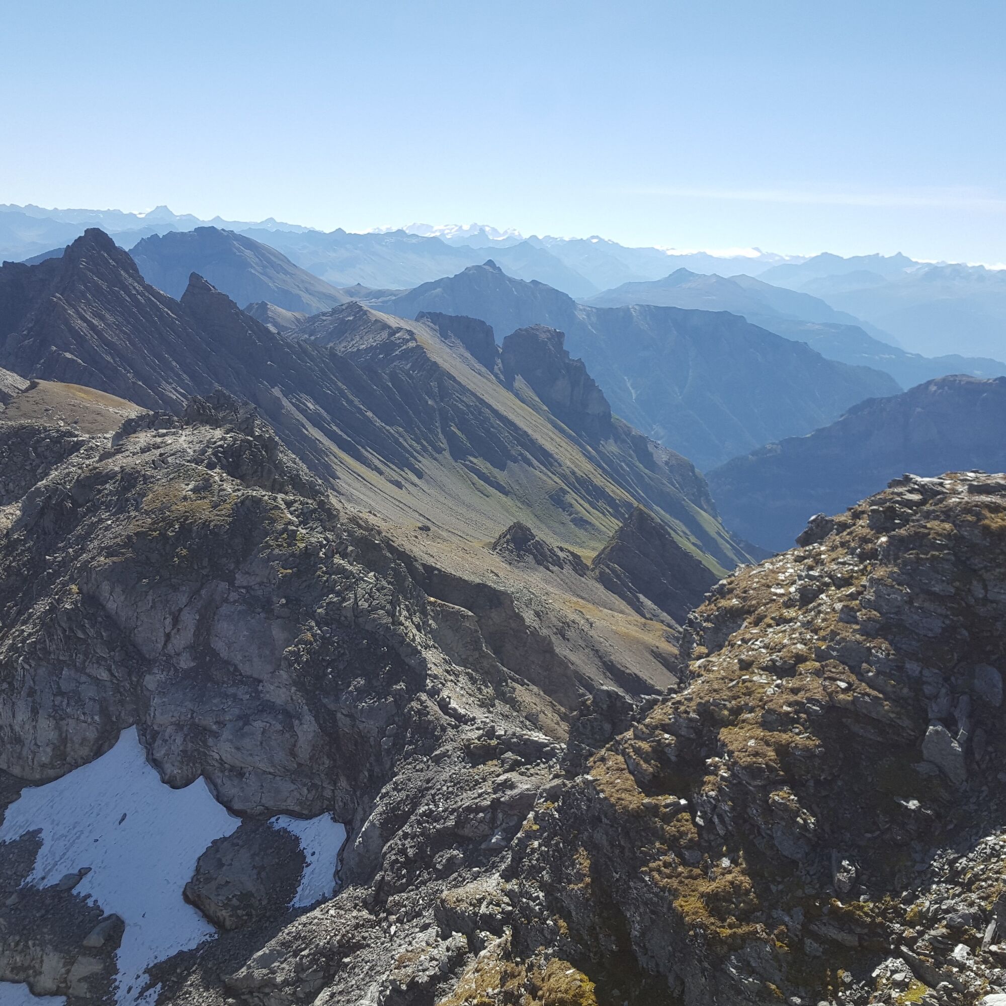
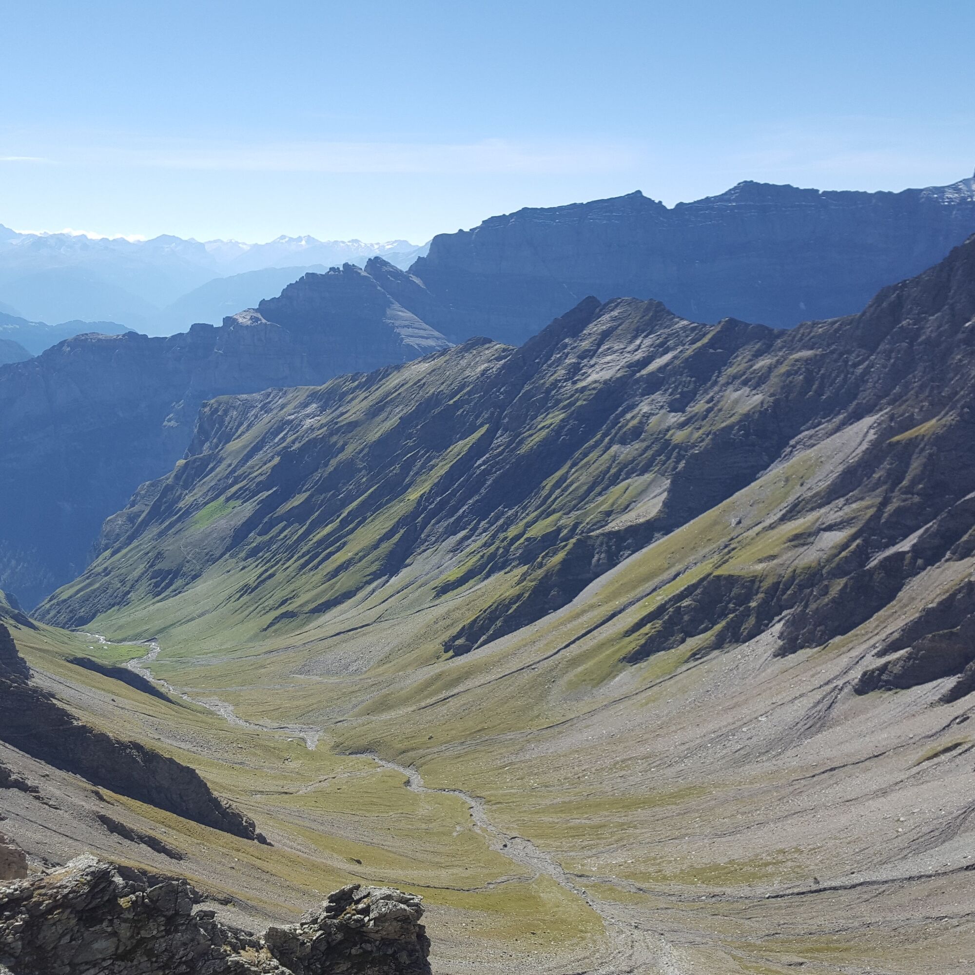
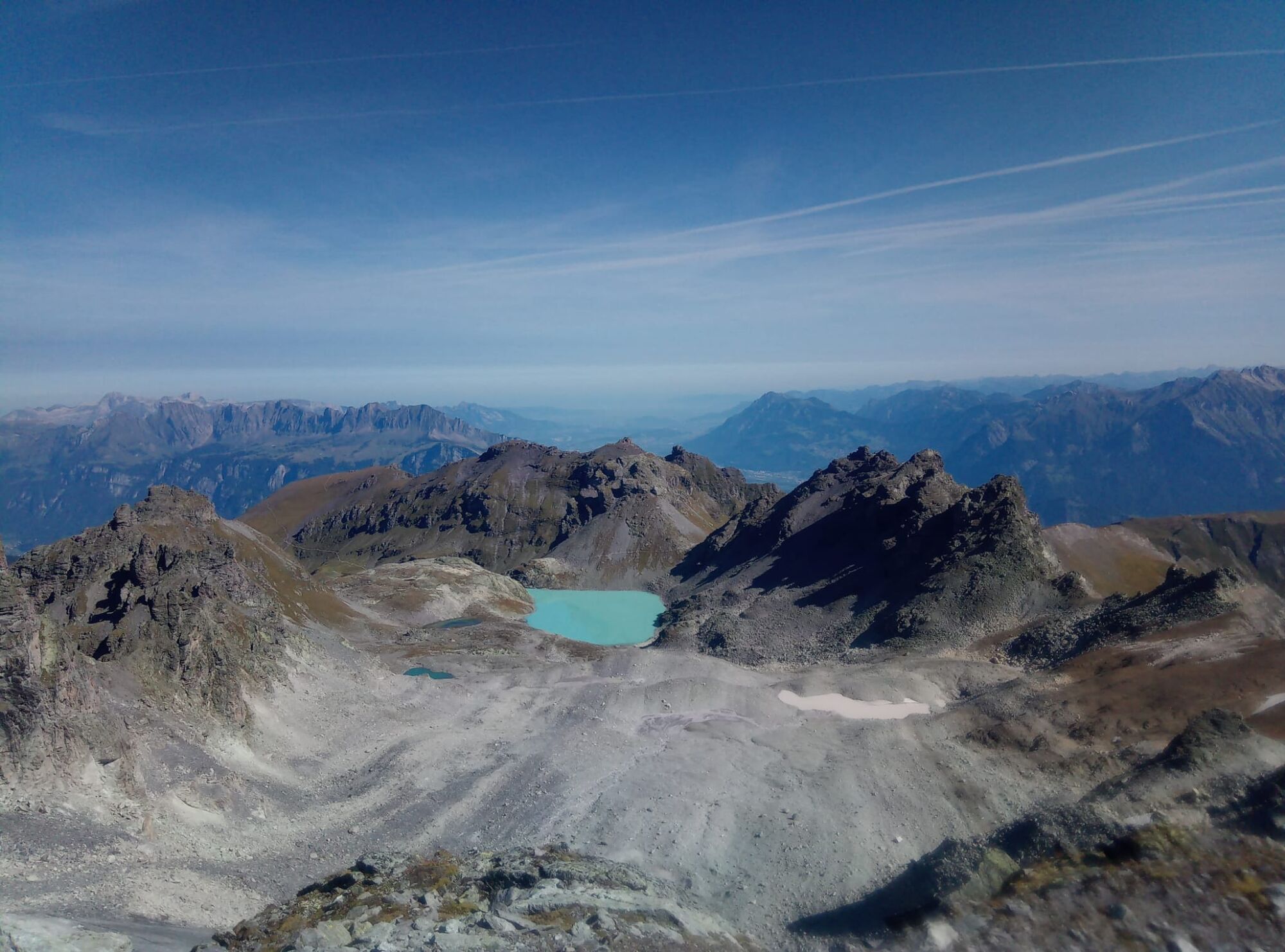
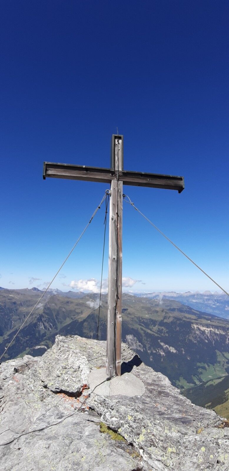

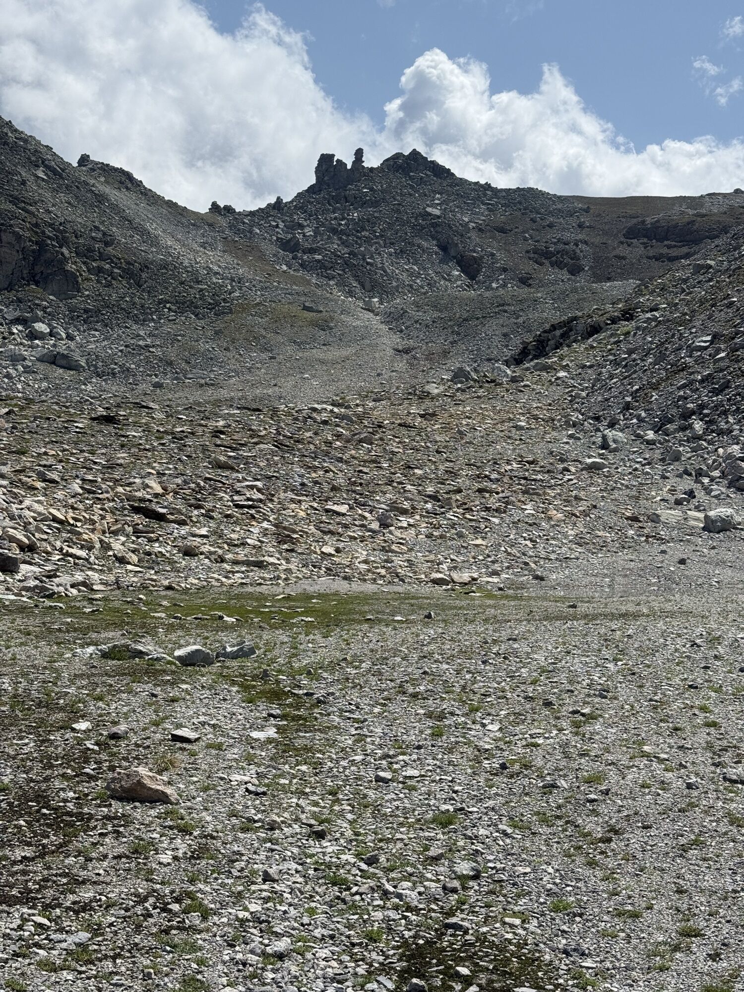
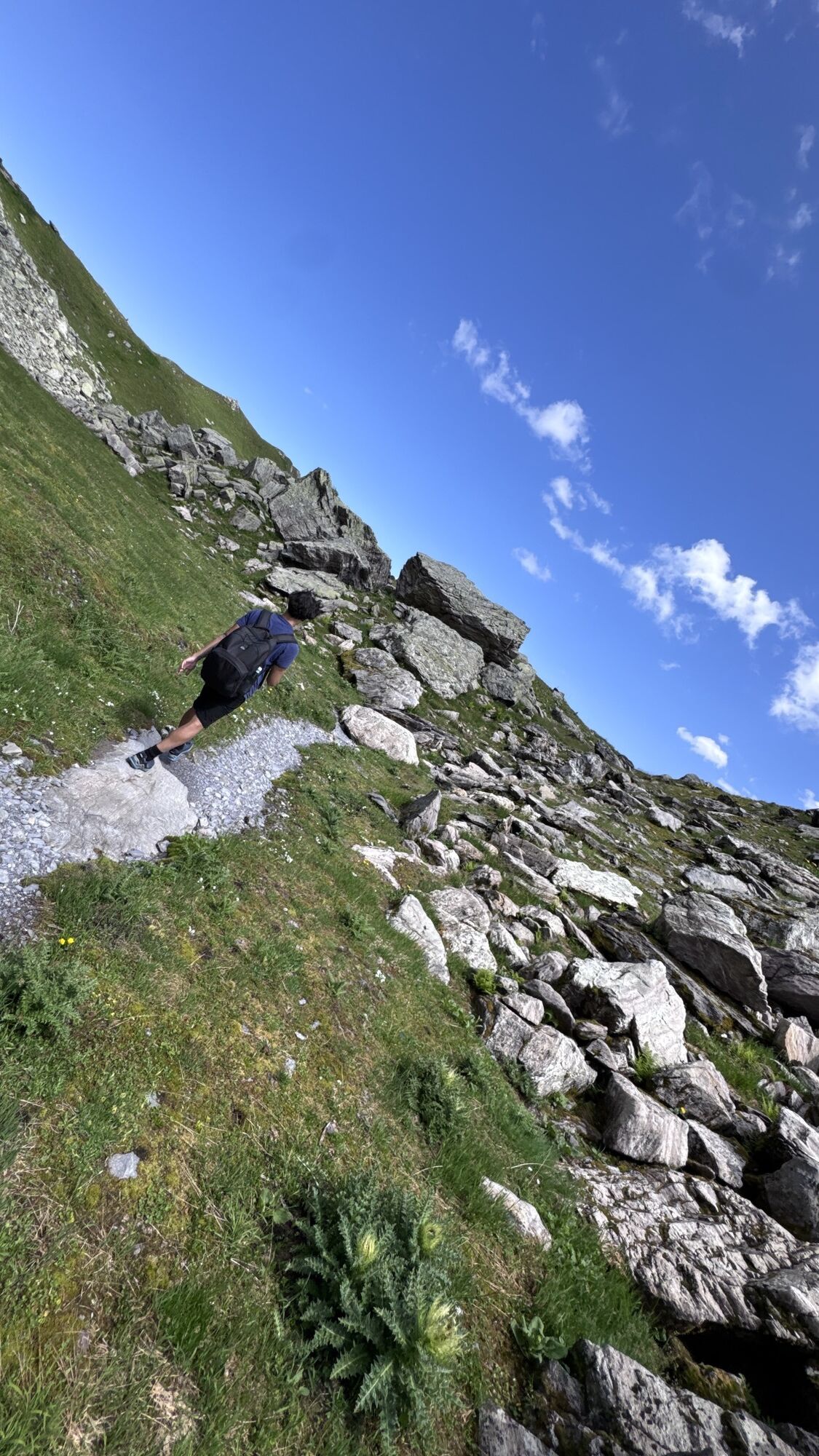
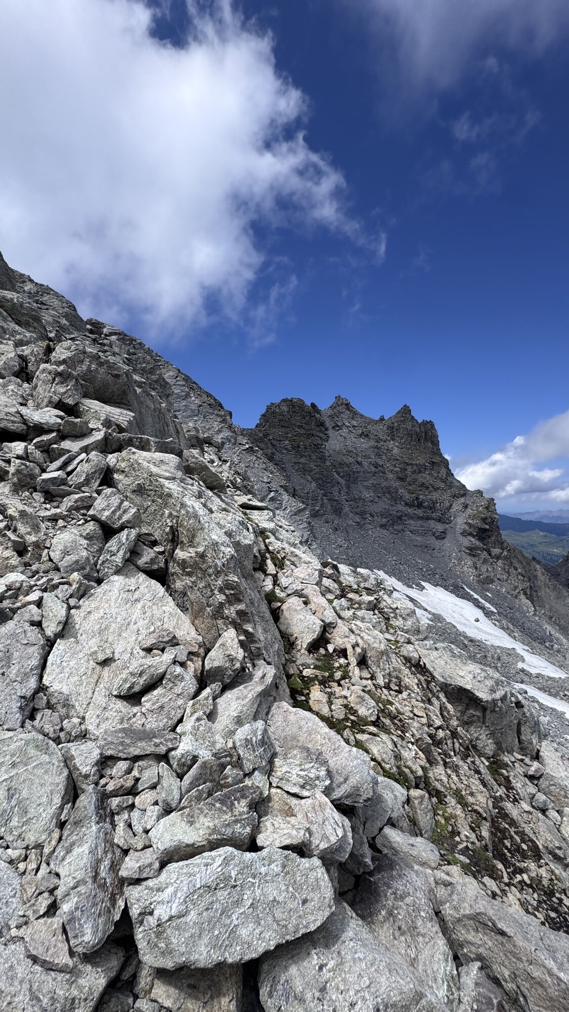
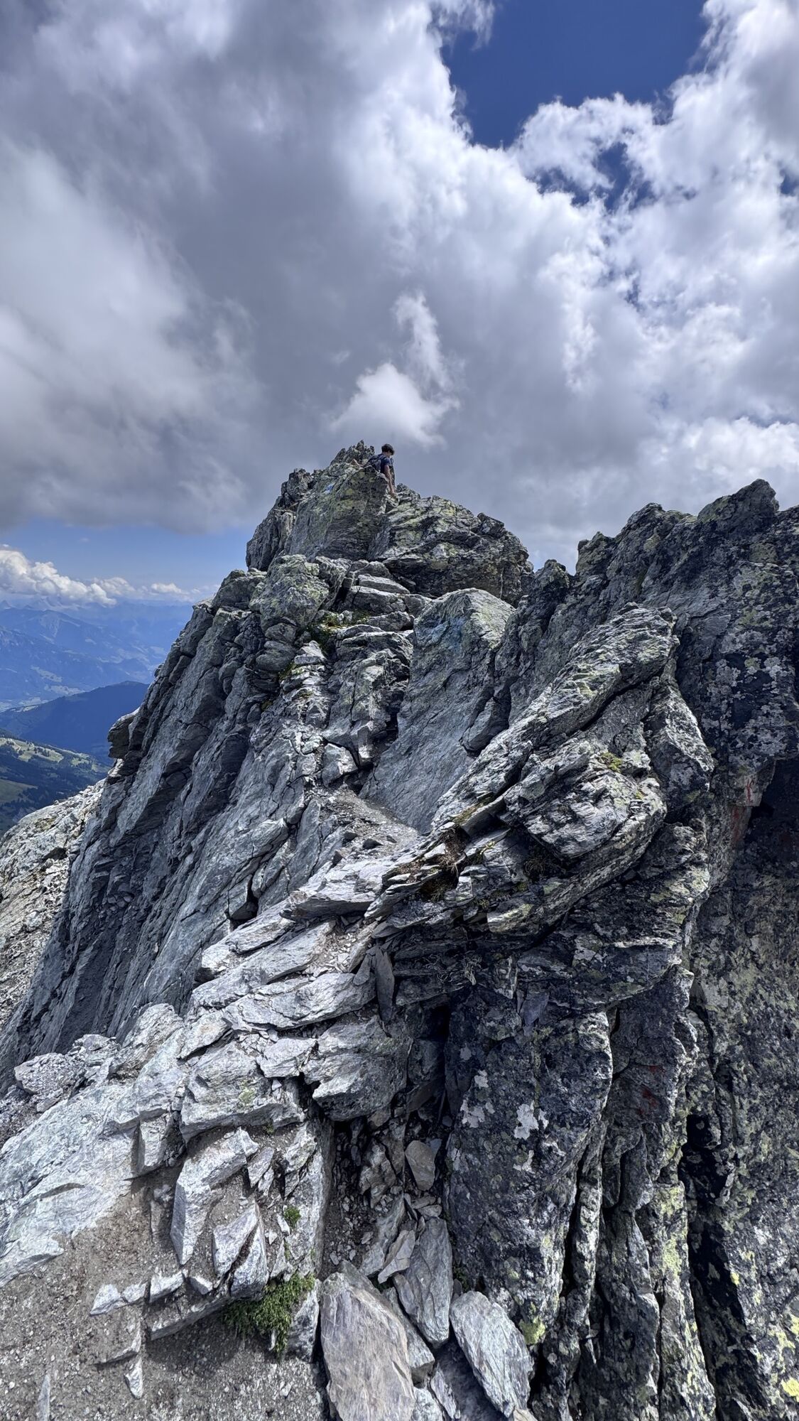
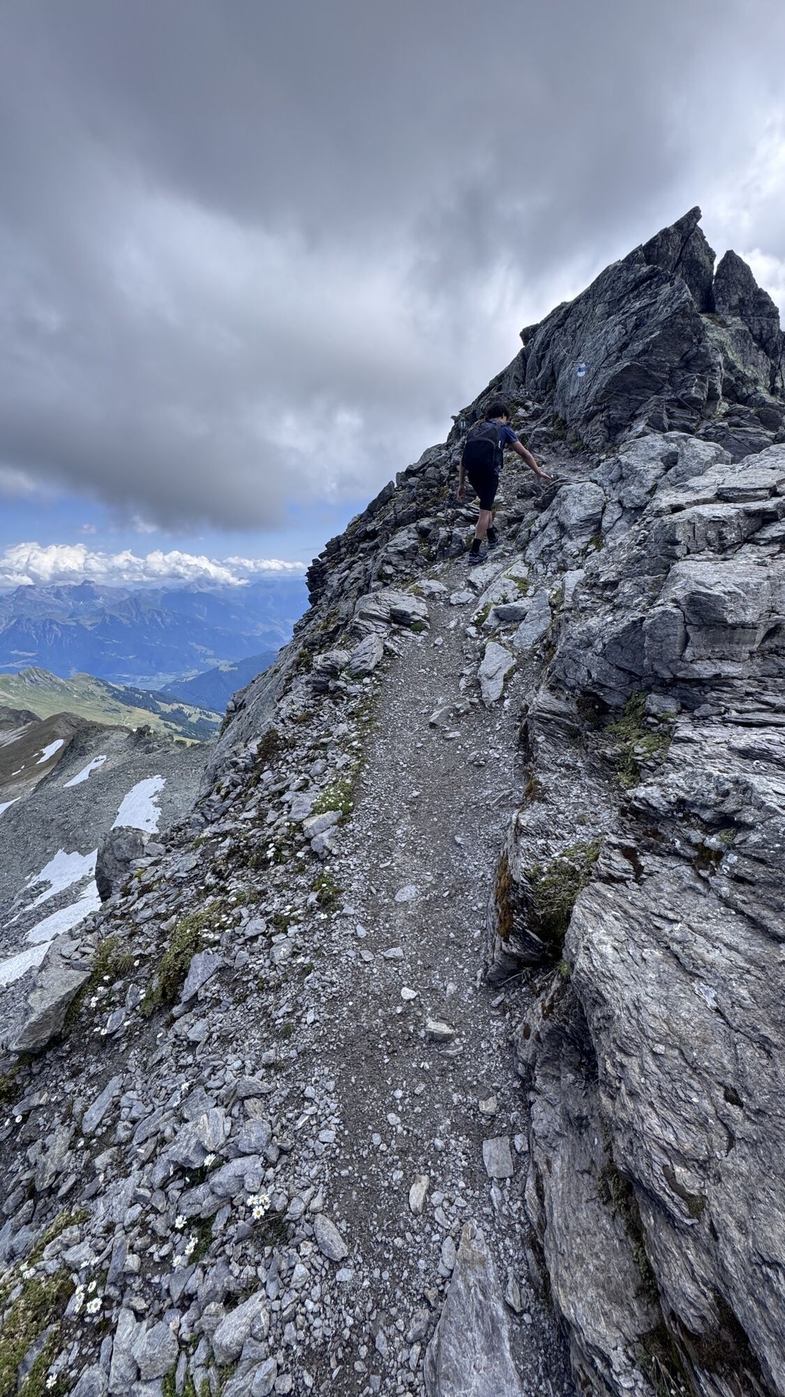
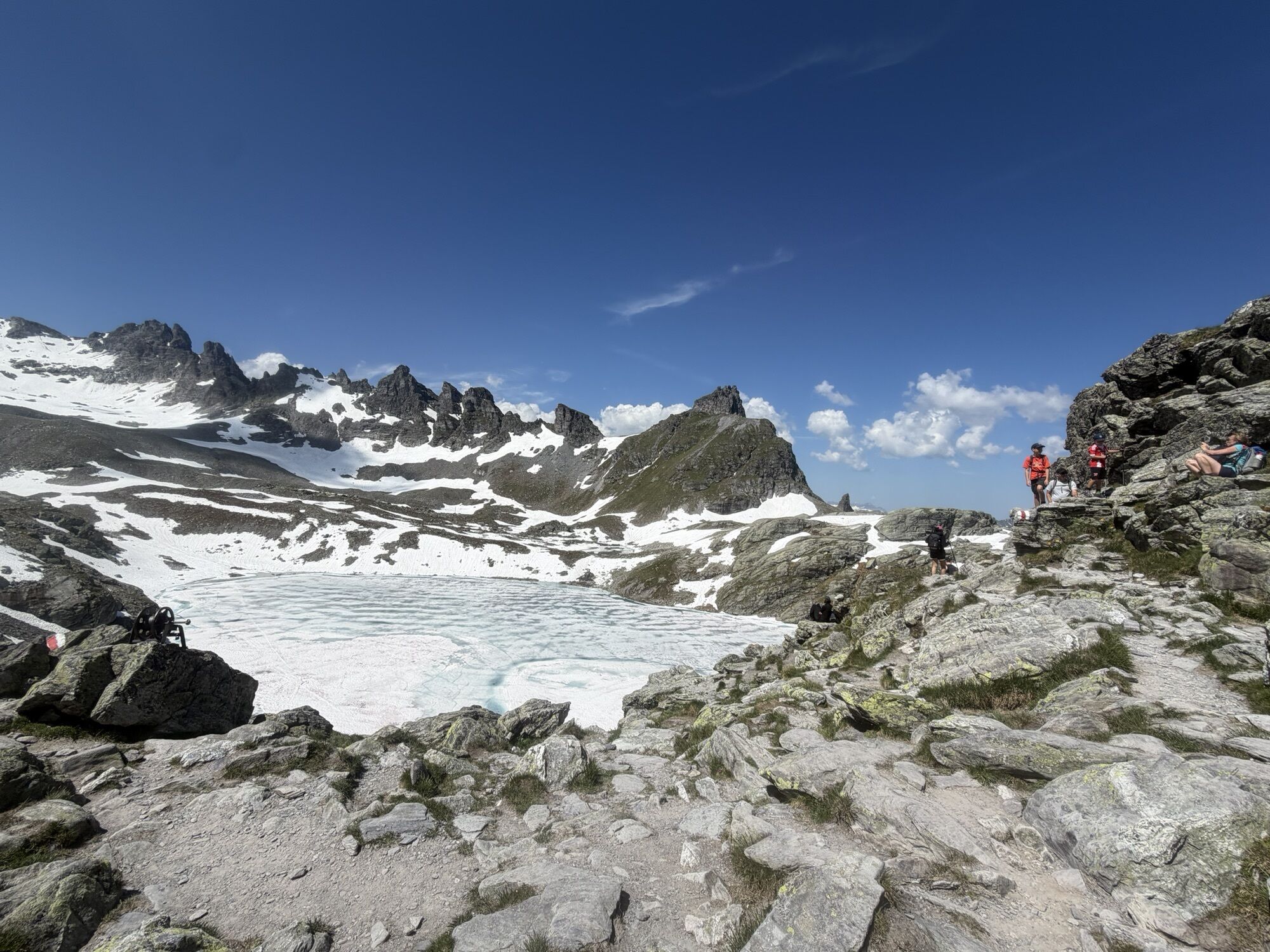
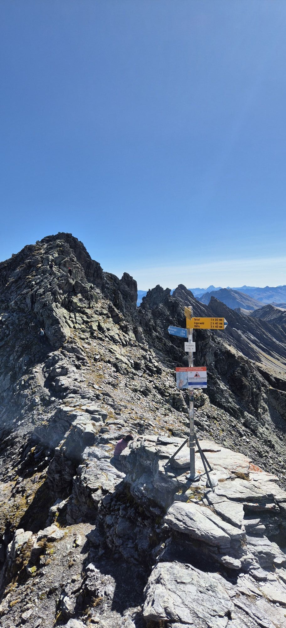
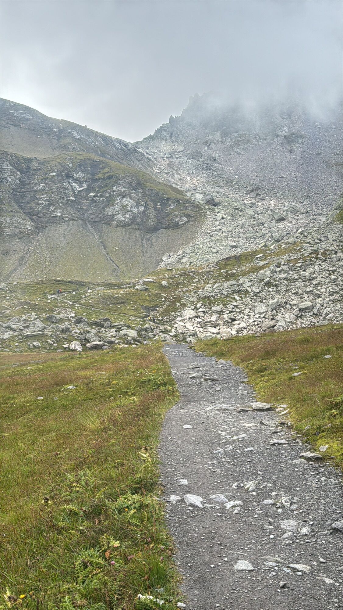
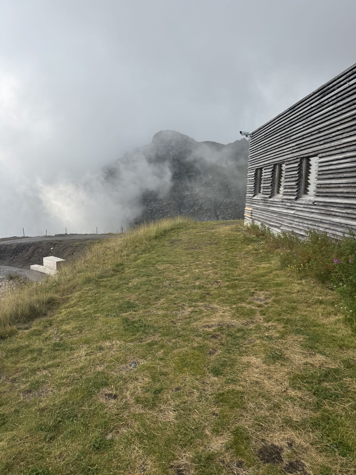
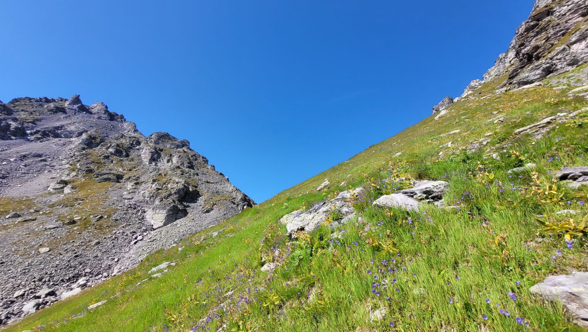
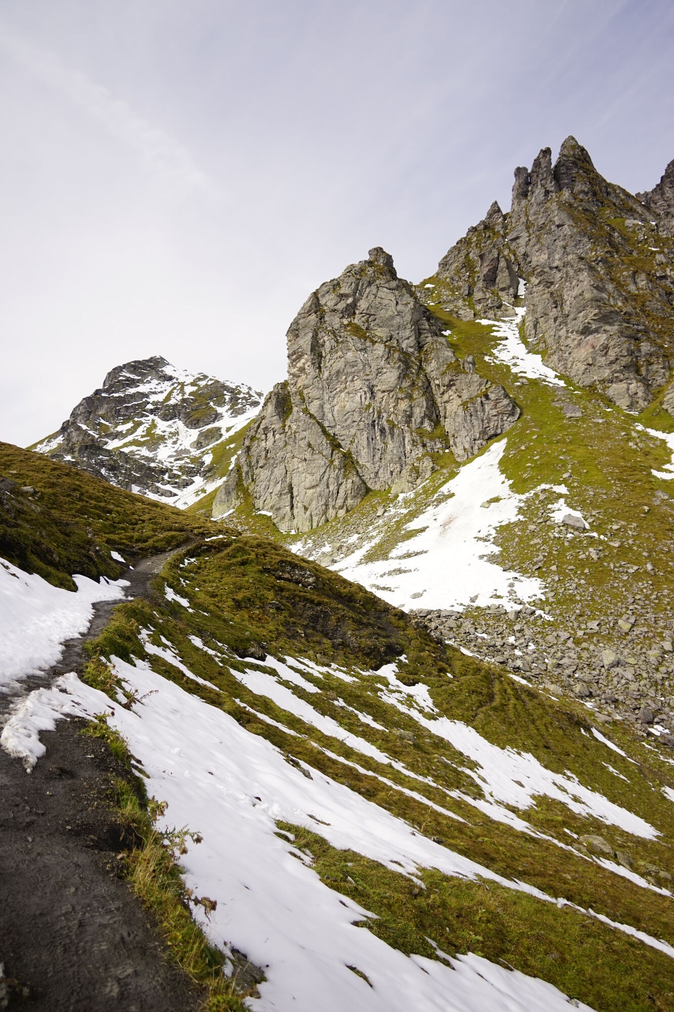
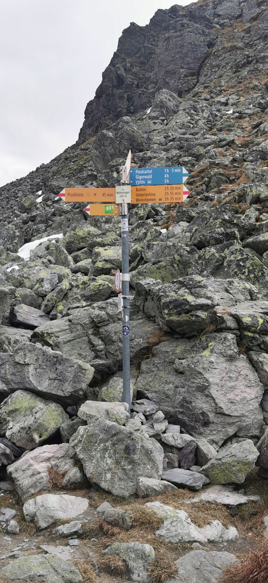
We start the route at the Pizolhütte. From the station, we ascend uphill turning right onto the hiking trail towards Wildseeluggen. After a relatively flat start, passing the Twärchamm climbing garden, we soon reach the zigzag ascent. Upon arriving at Wildseeluggen, an breathtaking view opens up of the Wildsee and our two stage targets - the Pizol summit behind the remains of the glacier of the same name and the Hochwart to its right. Here we branch off onto the less frequented path along the left side of the Wildsee. We continue over the moraines of the former glacier towards the Pizolsattel. The ascent to this was moved from the Pizol glacier onto the rocks for safety reasons. In exposed areas, steel cables are installed as handholds. Upon reaching the saddle, we continue right along the ridge until we reach the Pizol summit from behind. The first goal is reached.
To get to the Hochwart, we retrace the same path almost back to the Wildsee. Shortly before the lake, a path branches left towards Weisstannen, which we follow and soon arrive at the Lavtinasattel after a short and rocky ascent. Now we follow the last height meters along the path on the right side until we arrive at the Hochwart after about 10-15 minutes.
For the return journey, we take the same path back, via Lavtinasattel and past the Wildsee, back to Wildseeluggen and from there start the descent back to the Pizolhütte.
Tak
Tak
Tak
Day hiking backpack (approx. 20 liters) with rain cover, sturdy and comfortable footwear, weather-appropriate and durable clothing in a layering system, if necessary telescopic poles, sun and rain protection, provisions and drinking water, first aid kit, pocket knife, mobile phone, map material
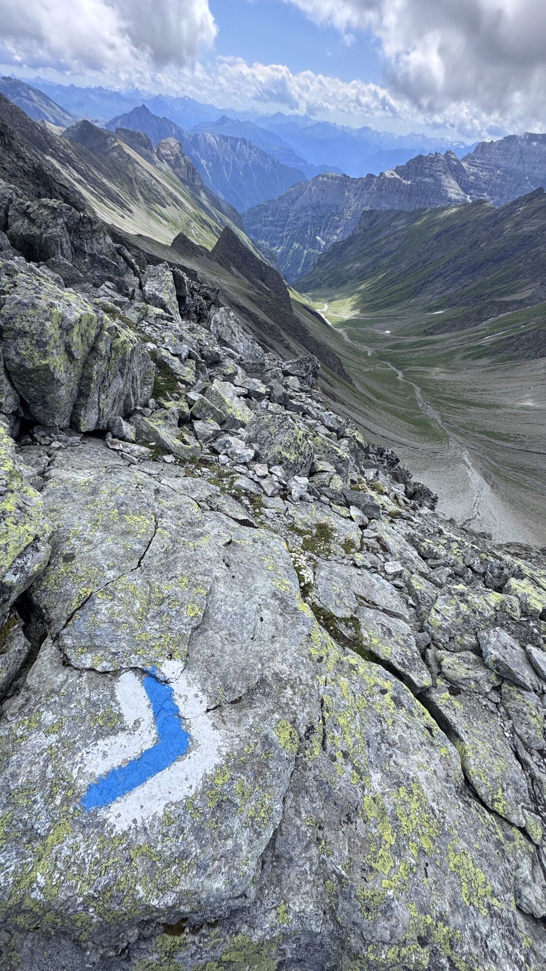
The route to the Pizol summit is an alpine route and marked blue-white. Surefootedness and a head for heights are required.
For the Wangs valley station, take the Sargans exit, and for the Bad Ragaz valley station, the Bad Ragaz Nord exit. The valley stations are well signposted from the motorway exit.
Both valley stations are only 5 minutes from the motorway exit and accessible even in winter without snow chains or other aids. Ideal accessibility via the A3 (Zurich-Chur) and the A13 (Lake Constance-Sargans-Chur).
Destination entry for the navigation system:
Valley station Bad Ragaz: Loisstrasse 50, 7310 Bad Ragaz
Valley station Wangs: Pizolstrasse 3, 7323 Wangs
For the summit route combination, we recommend arriving via the Wangs valley station.
For the Wangs valley station, take the Sargans exit, and for the Bad Ragaz valley station, the Bad Ragaz Nord exit. The valley stations are well signposted from the motorway exit.
Both valley stations are only 5 minutes from the motorway exit and accessible even in winter without snow chains or other aids. Ideal accessibility via the A3 (Zurich-Chur) and the A13 (Lake Constance-Sargans-Chur).
Destination entry for the navigation system:
Valley station Bad Ragaz: Loisstrasse 50, 7310 Bad Ragaz
Valley station Wangs: Pizolstrasse 3, 7323 Wangs
For the summit route combination, we recommend arriving via the Wangs valley station.
Parking options at the Pizol cable cars
Our guests benefit from easily accessible public parking lots at both valley stations – Bad Ragaz and Wangs – which are chargeable.
Valley station Wangs
Payment: parking ticket online via Parkingpay, Twint or with common debit/credit cards.
Alternatively, during operating hours at the cable car ticket office.
Disabled parking spaces: 2 reserved spots
E-charging stations: 4 charging stations available
Valley station Bad Ragaz
Payment: ticket at the barrier entry. Payment before exit at the machine (card payment only) or at the ticket office.
Disabled parking spaces: 8 reserved spots
E-charging stations: 4 charging stations available
Motorhome parking space Bad Ragaz
During the summer season we offer a quiet and natural parking area for motorhomes at the Bad Ragaz valley station.
More information: www.pizol.com
Pizolbahnen AG
+41 81 300 48 20
www.pizol.com
Heidiland Tourismus, Bad Ragaz information office
+41 81 300 40 20
www.heidiland.com
The Berghotel Furt is the ideal overnight option and starting point for the route, especially for the combination of the two half stages.
Kamery internetowe z trasy
Uzyskaj wgląd
Zawsze na żywo z ponad 9 500 kamer internetowych. bergfex Jako użytkownik Pro, możesz teraz zobaczyć odpowiednie kamery internetowe dla wielu wycieczek w aplikacji wycieczki od. Pozwala to na bezpośredni podgląd aktualnych warunków.


Popularne wycieczki w okolicy
-
4,7
5-Seen Wanderung am Pizol
światłoWędrówka 10,1 km -
4,7
Tamina Gorge Circular Route
średniWędrówka 14,0 km -
4,6
Pizol - Batöni - Weisstannen
ciężkiWędrówka 11,7 km -
4,6
Pizalun circular route
światłoWędrówka 7,18 km -
4,8
Mountain hike to the Strudeltöpfe on Alp Mora: Bargis-Trin
ciężkiWędrówka 18 km -
4,5
Maschgenkamm - Spitzmeilen hut - Tannenbodenalp
ciężkiWędrówka 18,1 km -
4,5
Pizol summit tour
średniWędrówka 9,28 km -
4,7
Mädems Trail
średniRakieta do chodzenia po śniegu 7,48 km -
5,0
Circular hike Bettlerweg & 2-Lakes Hike Pizol
średniWędrówka 11,4 km -
5,0
Guscha ridge path
średniWędrówka 7,96 km
Wędrówki i tropienie


Nie przegap ofert i inspiracji na następne wakacje
Twój adres e-mail została dodana do listy mailingowej.





