







Geschichtenweg Schönengrund
Primary school children from the village created the themed path. The comics they designed are based on stories from the Schönengrund book. Seven comics that reflect the village’s history.
In the summer...
Primary school children from the village created the themed path. The comics they designed are based on stories from the Schönengrund book. Seven comics that reflect the village’s history.
In the summer of 2020, the new storyboards were installed at their locations.


The path is well signposted from the starting point.
You begin the circular route on the paved road at the former post office in Schönengrund, which leads you over the Oberdorf to the Mülitobel. A crossing of the meadow lies ahead and the wooded area to be crossed. After the forest, there is still a meadow path until the paved road awaits and continues to the left via Hämmi and Pfand. In the Pfand, the road is left on the left and leads over the meadow path to Herrenwäldli. And there, a newly built barbecue area gladly welcomes guests. A great view of the village can be caught until the path, with a short descent, leads back to the paved road over the meadow and returns to the starting point.
Tak
Trekking or hiking shoes, hiking backpack (20 liters), water bottle with water, provisions, sun protection, hiking clothing, mobile phone, first aid kit.
The path is well signposted.
From Wil you can reach Schönengrund via Lütisburg, Ganterschwil, Necker, and St.Peterzell.
From St.Gallen, take the St.Gallen Winkeln motorway exit and follow the road to Herisau via Waldstatt.
You can reach Schönengrund by train via St.Gallen and Herisau. From there, a post bus takes you to the village.
From Wil you can reach Wald-Schönengrund by train via Brunnadern and from there by post bus.
There are enough free parking spaces at the MZA in Schönengrund.
More information is available on the municipal website.
Toggenburg Tourism
Hauptstrasse 104
9658 Wildhaus
Tel. +41 71 999 99 11
info@toggenburg.swiss
www.toggenburg.swiss
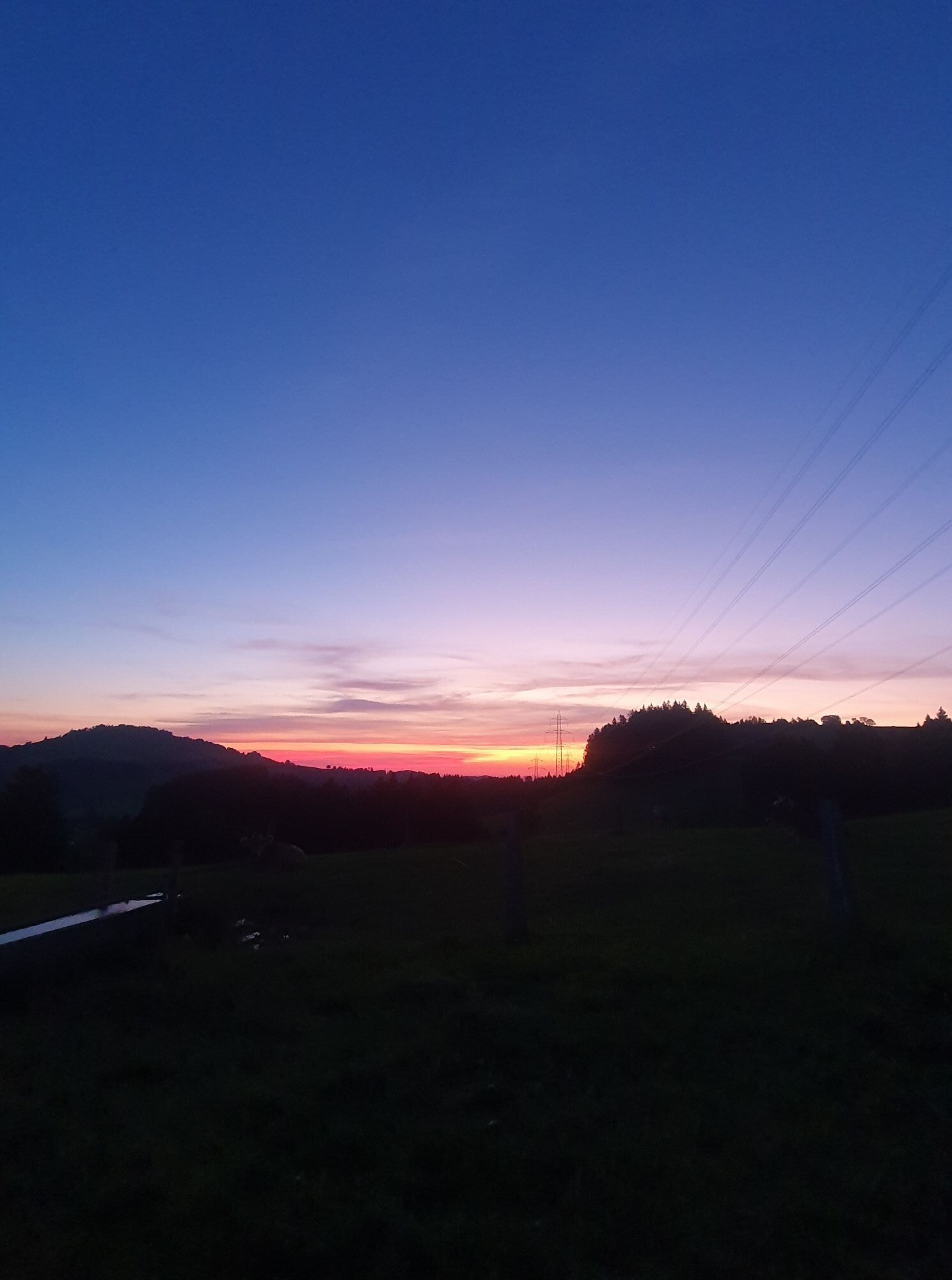
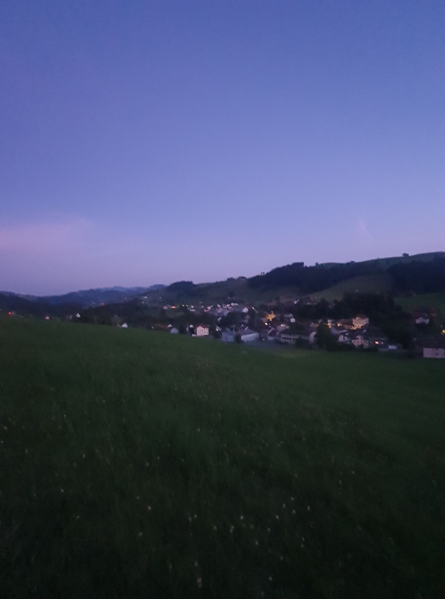
On the return way to the village, enjoy the view at the new fire pit in the Herrenwäldli.
Kamery internetowe z trasy
Uzyskaj wgląd
Zawsze na żywo z ponad 9 500 kamer internetowych. bergfex Jako użytkownik Pro, możesz teraz zobaczyć odpowiednie kamery internetowe dla wielu wycieczek w aplikacji wycieczki od. Pozwala to na bezpośredni podgląd aktualnych warunków.
Popularne wycieczki w okolicy
-
4,9
Säntis-Gipfeltour, Wasserauen / Appenzell Innerrhoden
ciężkiWędrówka 21,1 km -
4,6
Wasserauen - Seealpsee - Wasserauen
średniWędrówka 7,71 km -
4,5
Säntis
średniWycieczki górskie 17,5 km -
4,8
Schwende, Appenzell Innerrhoden
średniWędrówka 11,8 km -
4,6
Schwägalp - Berggasthaus Tierwies - Girenspitz - Säntis
ciężkiWędrówka 4,83 km -
4,3
Traumhafte 3-Seen/Hütten Runde in Appenzell Schweiz
średniWycieczka wysokogórska 19,7 km -
4,8
Wasserauen - Klein Hütten - Bogartenlücke - Marwees - Meglisalp - Klein Hütten - Wasserauen
średniWędrówka 14,4 km -
4,8
Mountain route over Rotsteinpass to Säntis
ciężkiWędrówka 8,53 km -
5,0
Schäfler Waldkirchli Seealpsee Wasserauen
średniWędrówka 12,7 km -
4,8
Wassrauen - Schäfler Gipfel
średniWędrówka 10,6 km
Wędrówki i tropienie


Nie przegap ofert i inspiracji na następne wakacje
Twój adres e-mail została dodana do listy mailingowej.





