






Walnut Path Frümsen

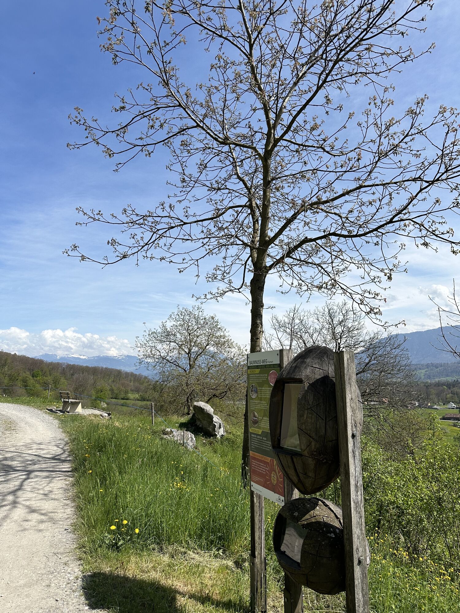
The Walnut Path invites children, adults, schools, and groups to experience the Frümsen landscape with all senses and learn a lot of interesting facts about the walnut. The variety of walnut types can...
The Walnut Path invites children, adults, schools, and groups to experience the Frümsen landscape with all senses and learn a lot of interesting facts about the walnut. The variety of walnut types can be experienced on signposted walnut trees.
The approximately 5-kilometer-long path is very entertaining on foot and with all-terrain strollers: elevated paths, avenues, fairy-tale-like forests, mostly flat, with gentle ascents and descents. It is designed as a circular route and can be walked in both directions and from any starting point.
For hiking and observing the locations, you need about 2 hours.

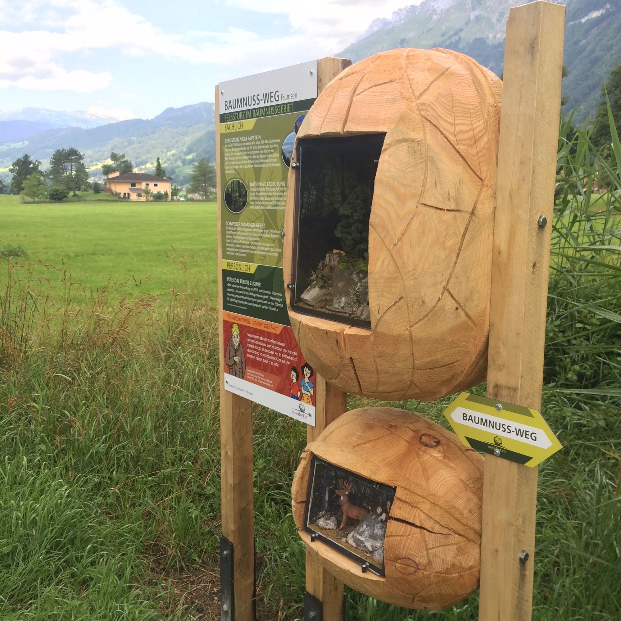
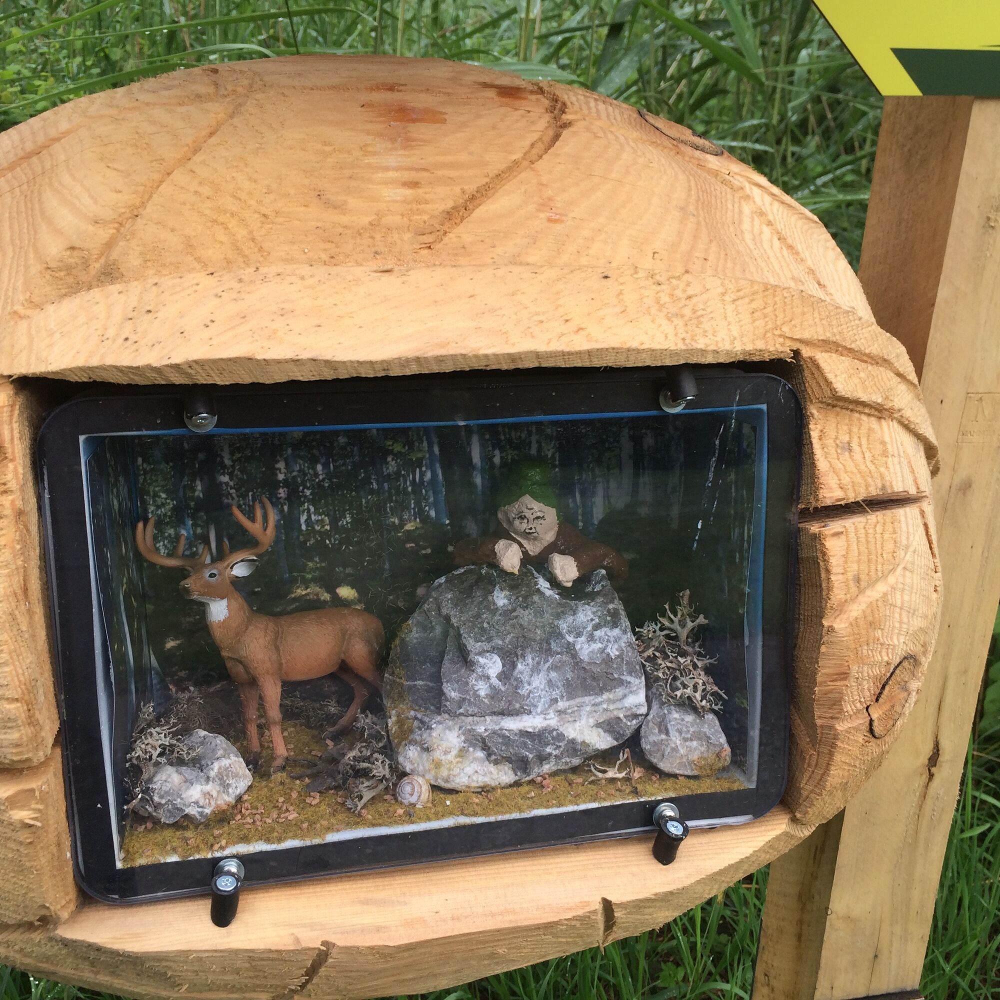
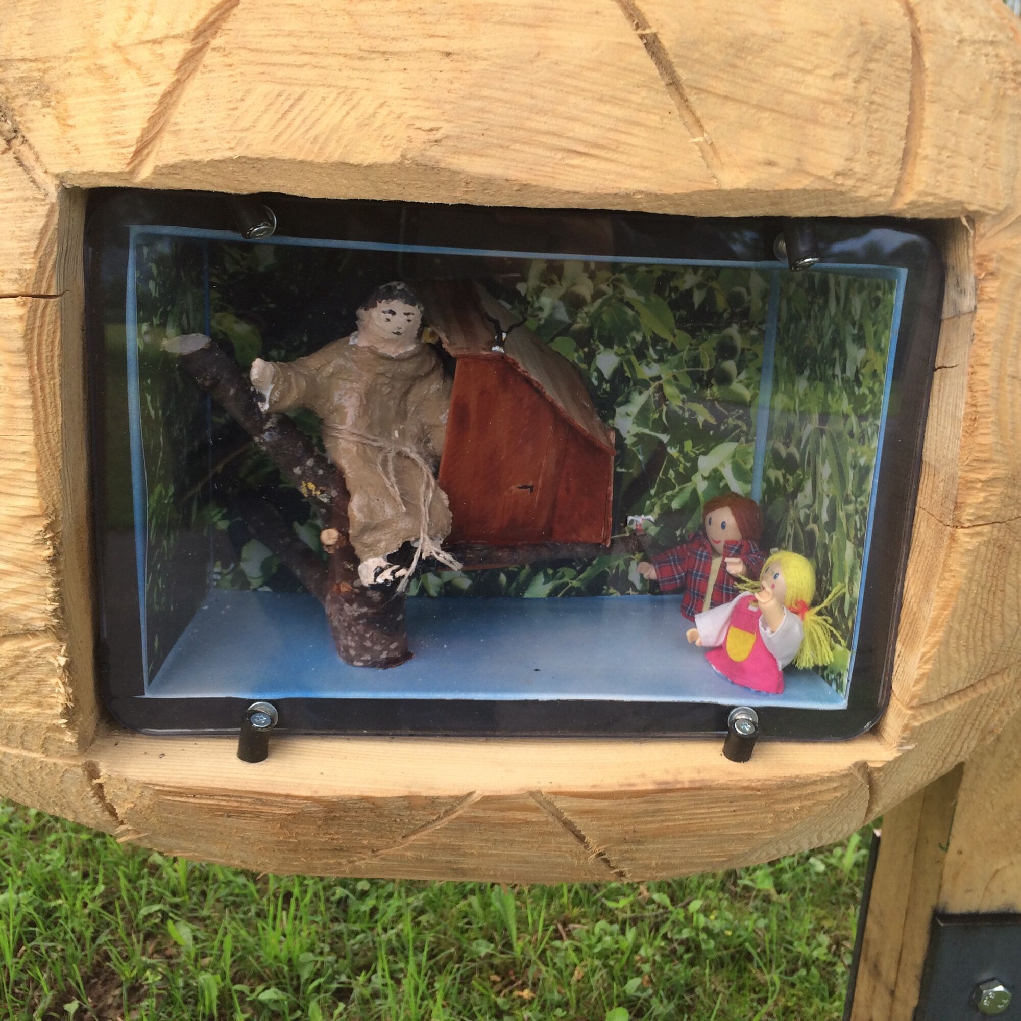

The circular route consists of 12 stations and can be started at any point.
Tak
The path partly runs over gravel roads and forest trails.
Frümsen is accessible by bus from Buchs SG train station or from Sennwald train station.
Parking is available at the Frümsen town hall or by the Antonius Church.
Walnut Village Fümsen: http://nussdorf.ch
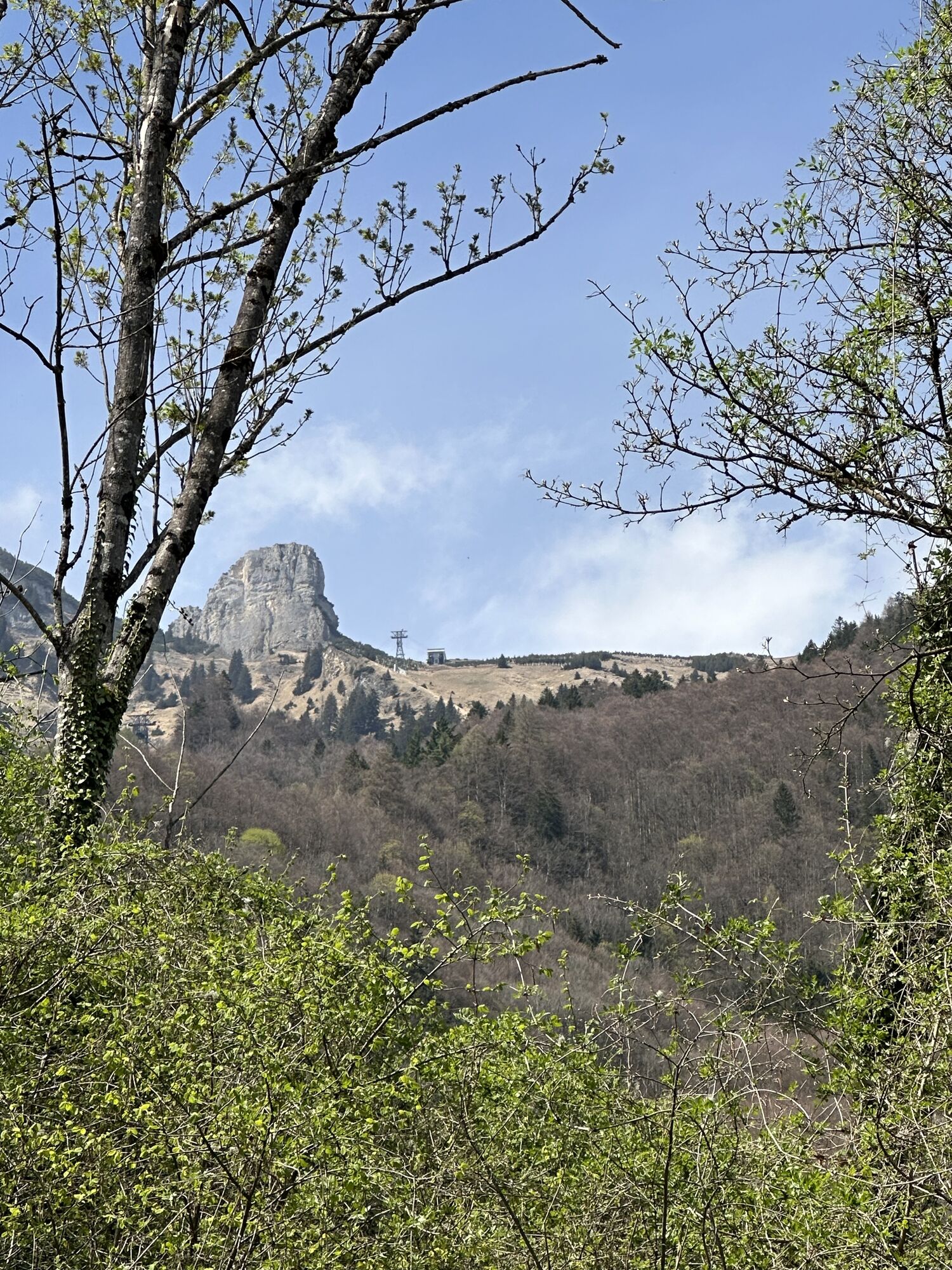
Mountain Railway & Mountain Inn Staubern: http://www.staubern.ch
Take a detour by train to the Staubernkanzel and enjoy the magnificent view of the Rhine Valley and the homemade nut products.

Kamery internetowe z trasy
-
Hoher Kasten - Drehrestaurant
-
Hoher Kasten
-
Hoher Kasten
-
Hoher Kasten
-
Hoher Kasten
-
Hoher Kasten
-
Hoher Kasten
-
Hoher Kasten
-
Berggasthaus Ruhesitz
-
Hoher Kasten - Rheintal
-
Hoher Kasten - Rheintal
-
Hoher Kasten - Rheintal
-
Hoher Kasten - Rheintal
-
Hoher Kasten - Rheintal
-
Hoher Kasten - Rheintal
-
Hoher Kasten - Rheintal
-
Bangs Oberried, Fresch, Drei Schwestern, Kuegrat


Popularne wycieczki w okolicy
-
5,0
Staubern-Runde (15.8.2021)
średniWędrówka 8,65 km -
4,5
To the summit cross of the Alpspitz
średniWędrówka 6,02 km -
4,9
Säntis-Gipfeltour, Wasserauen / Appenzell Innerrhoden
ciężkiWędrówka 21,1 km -
4,8
Tour Brülisau - Saxerlücke - Hoherkasten⛰
ciężkiWędrówka 16,6 km -
4,6
Wasserauen - Seealpsee - Wasserauen
średniWędrówka 7,71 km -
4,6
Säntis
średniWycieczki górskie 17,5 km -
4,7
Schwende, Appenzell Innerrhoden
średniWędrówka 11,8 km -
4,8
2 Seenwanderung Sämtisersee und Fälensee
średniWędrówka 14,6 km -
4,7
Frümsen - Saxerlücke - Staubern, Schweiz
średniWędrówka 14,0 km -
4,7
Schwägalp - Berggasthaus Tierwies - Girenspitz - Säntis
ciężkiWędrówka 4,83 km
Wędrówki i tropienie


Nie przegap ofert i inspiracji na następne wakacje
Twój adres e-mail została dodana do listy mailingowej.





